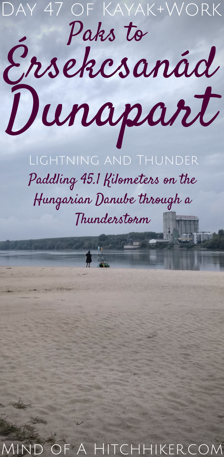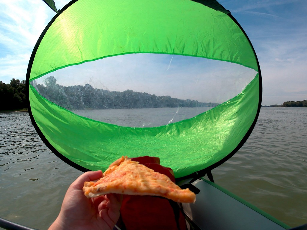
Events narrated in this article reflect those of Monday the 9th of September, 2019. We traveled down the Hungarian Danube from Paks to Érsekcsanád Dunapart. For the first time on this trip, we paddled a distance this long: 45.1 kilometers. It was also the first time that we paddled such a long day in inclement weather with thunderstorms, a strong headwind, and heavy rains. Due to partial camera failure, there are only pictures I’ve taken with my phone in this article.
Want to travel the (entire) Danube River in an adventurous way? Join our Facebook group Danube River Source to Sea: Kayak / Canoe / Bike / Hike / Sail to find your community
Our Stay in Paks
We stayed for three nights in the fancy hotel in Paks. And yes, we felt really out of place with our total of two sets of clothes and general roughness. Luckily, the world outside the hotel was decidedly more relaxed than the pretentiousness of Erzsébet Nagy Szálloda (hotel).
One day we hiked up to a nearby viewpoint (kilátó) called Gárdonyi Kilátó, named after a famous Hungarian writer. It doesn’t matter that we’re on or around the Danube almost constantly for more than four months; I can’t get enough of this river. We’ve seen the sun climb up the sky. Now it’s sinking again and under that angle that catches you by surprise to temporarily blind you. Shadows cast are longer than before and no hat can stop the rays from reaching your retinas.
As we couldn’t cook for ourselves, we had to eat out every night or get something cold and simple from a supermarket. Our happy place was a restaurant named ‘Retro’ – which understood vegetarianism well enough. At the hotel, we took the alcohol out of the minibar to make space for our snacks and the sandwiches we prepared the evening before departure.
We checked our weather apps incessantly for improvements, but the verdict was clear: wear a poncho. I was hoping for at least the thunderstorm warning to go away, but it was still there. Jonas Googled some more information about kayaking in thunderstorms and the conclusions were bleak: just don’t paddle in a thunderstorm.
Besides grasping that there are quite some downsides to planning this far ahead, we also realized that we’ve been really fucking lucky with the weather to date with this trip. I can only remember three instances of paddling in rain, hail and/or thunderstorms: day 1, day 3, and day 5. On top of that, we had to paddle more than 40 kilometers for the very first time. Our timing could not be worse.
Leaving Paks for Érsekcsanád Dunapart
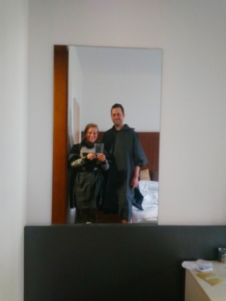
We had breakfast at the hotel in our paddle clothes and shoes. We returned to our room to finish packing and dressing up in our ponchos, which go underneath the lifevests. Back downstairs, we first had to check out and of course deal with a tourist tax, for which Jonas had to find his wallet somewhere in his dry bag.
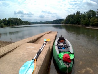
Once out, we walked the few hundred meters to the same floating dock we’d landed at. The ground was already wet and I was quite afraid of slipping and falling on the steep path down to the water. It was raining lightly and the fog was dense enough for us not to see a cruise ship coming that rocked our pontoon with its wake. While building up, I got very warm and thought about taking off my poncho.
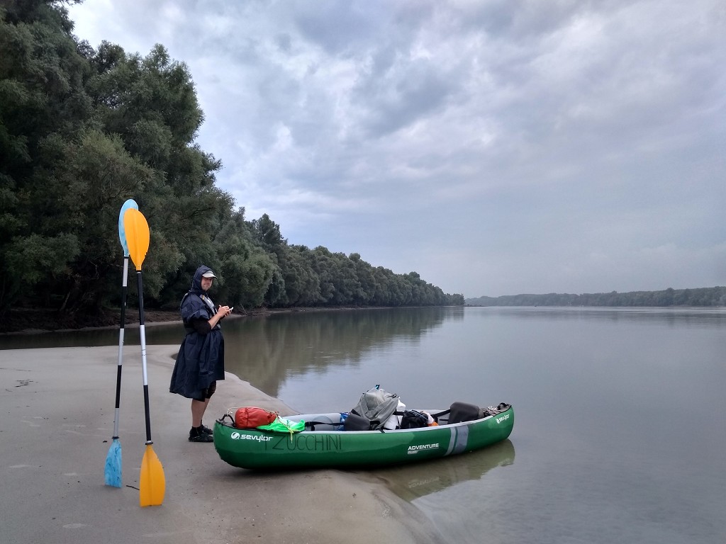
At 8:25, we were ready to climb into our boat and paddle away to Érsekcsanád Dunapart. The rain intensity increased upon making that decision. The water slid down my poncho in little trickles and collected in my lap. We paddled away from Paks and tried to gain some speed. My fingerless gloves soaked up the rain really fast. I could barely communicate with Jonas. Then the intensity diminished and we could hear each other again. We both tried to get the puddle of water that collected in the skirt of the poncho off without dropping all the water inside the boat. I managed, Jonas didn’t.
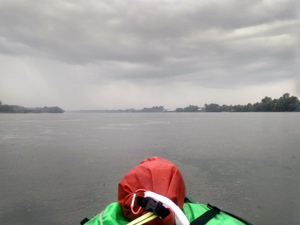
Paddling Past Paks Nuclear Power Plant
I tried hard to maintain a nice paddle rhythm without using up my energy too soon in the day. My hat kept most of the raindrops out of my eyes, but the hoodie of my poncho kept sliding off. Now that the rain stopped, I wanted to switch to dry gloves, but my pink gloves weren’t in reach. I asked For Jonas’ gloves, which he gave to me. They were still dry. With only 17°C outside, I had to wear gloves today. Jonas has somehow been fine without gloves on nearly all paddle days.
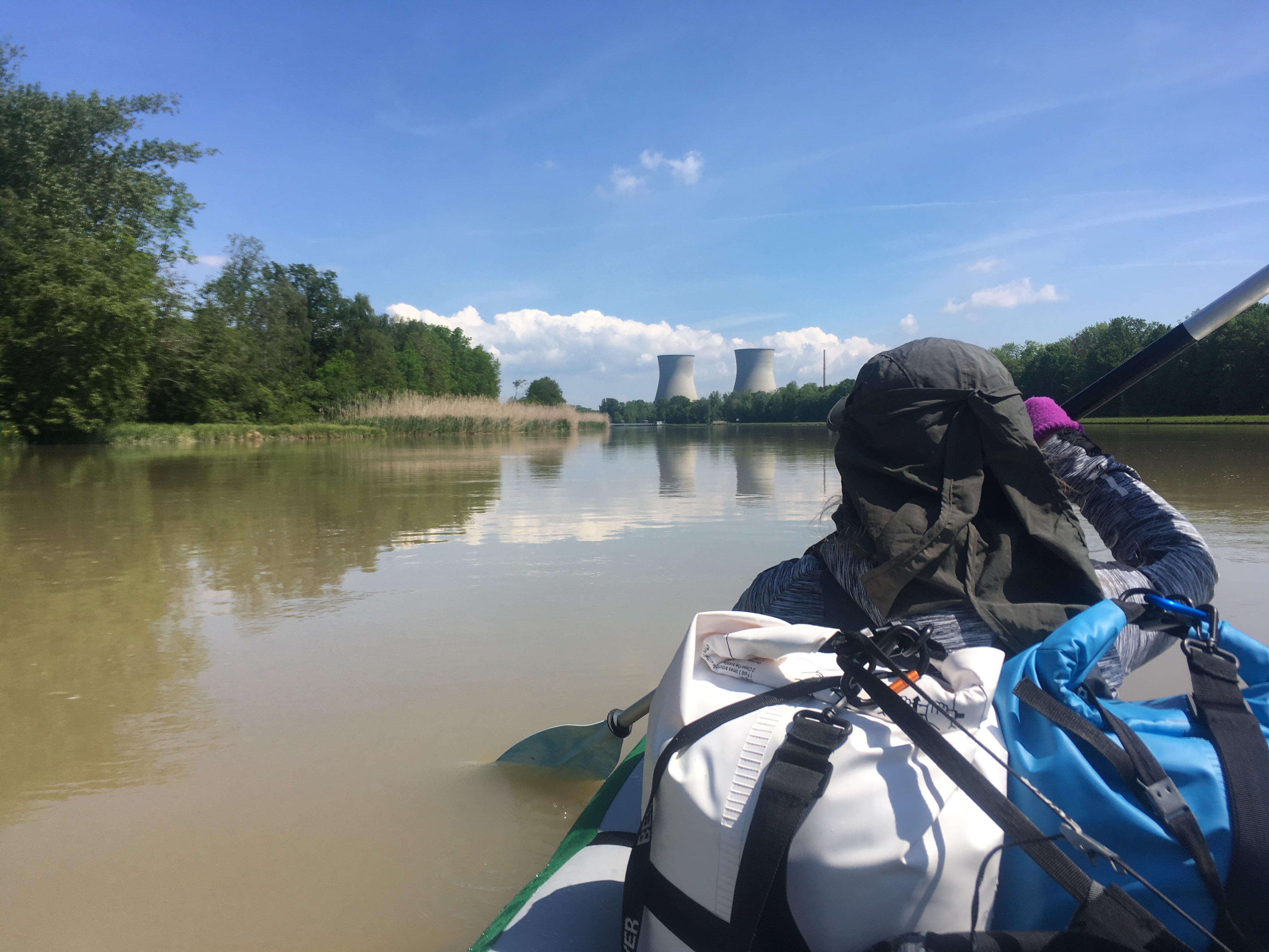
We see a few towers near the location of the Paks Nuclear Power Plant (Paksi atomerőmű). Those must be part of it. We pass a few docks and some rail tracks that must be for delivering the “lightly enriched uranium dioxide” to the plant. This is at least the third nuclear power plant we’ve passed on the Danube and the first one that’s operating full-time; Hungary’s energy needs depend on this plant.
The plant has been operating since 1982, or four years before the Chernobyl disaster. It was designed to operate for 30 years, so it should have closed in 2012. However, the Hungarian government decided that it’s still in good enough condition, so they extended its lifetime with another 20 years until 2032 – at the very least. There are some initiatives for renewable energy like wind and solar, but nuclear power isn’t going away anytime soon – especially considering who’s in charge. And I’ve previously written about the touchy subject of hydroelectric power in Hungary (and the dispute with Slovakia). And still, Hungary imports energy from other countries.
To our right, a wide canal opens up that leads to the plant. In the distance, we see some fog on the water. As we approach, it becomes clearer that this isn’t any natural fog, but steam from the hot-water canal that reenters the Danube after it did its job of cooling down the cores in the nuclear power plant. There’s a very distinct line of where the hot water ends and touches the cold water and the cold air above it. I ask Jonas if we can make a beeline around it as I don’t want our Zucchini to melt.
Only later I find out that our map tried to warn us; one canal goes by the name hidegvíz-csatorna (cold-water canal) and the other melegvíz-csatorna (hot-water canal). Since the previous nuclear power plants we’ve paddled past weren’t producing electricity those days, we’ve never actually seen the consequences of a working nuclear power plant. It’s much scarier than I thought. I wince at the thought of a nuclear disaster on our river. But of course, I’m very curious as to the water temperature, so I stick my hand in the water.
“Hmm… warm.”
The Sun Comes Out
The Danube reluctantly bends right. There are a few river islands to our right with some man-made speedbumps here and there to slow the river down. On the horizon appear two cruise ships from a river bend. At 9:30, the sun comes out while it’s still raining. I look around me for a rainbow, but can’t find one. On my nautical map, it shows that there’s a shipwreck somewhere here, but we don’t see anything in the water.
The two cruise ships have climbed the river slowly, but one was slower than the other. Now the fast one (probably of the Amadeus brand) is overtaking the slow one, which is flying the Ukrainian colors blue and yellow. Then we notice that there’s a pusher boat attached behind the Ukrainian boat. We’re thinking it had engine troubles and is now getting pushed upstream to a port for repairs. Very cool sight.
Jonas suggests making a 10-minute stop at 10:05, which we do on the right-hand shore at a very small river island. It’s muddy, but keeping our boat very clean isn’t a priority today. Again, there are many mussels on the beach.
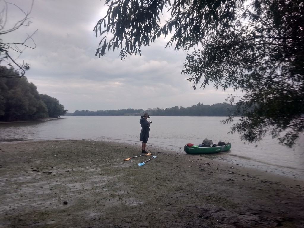
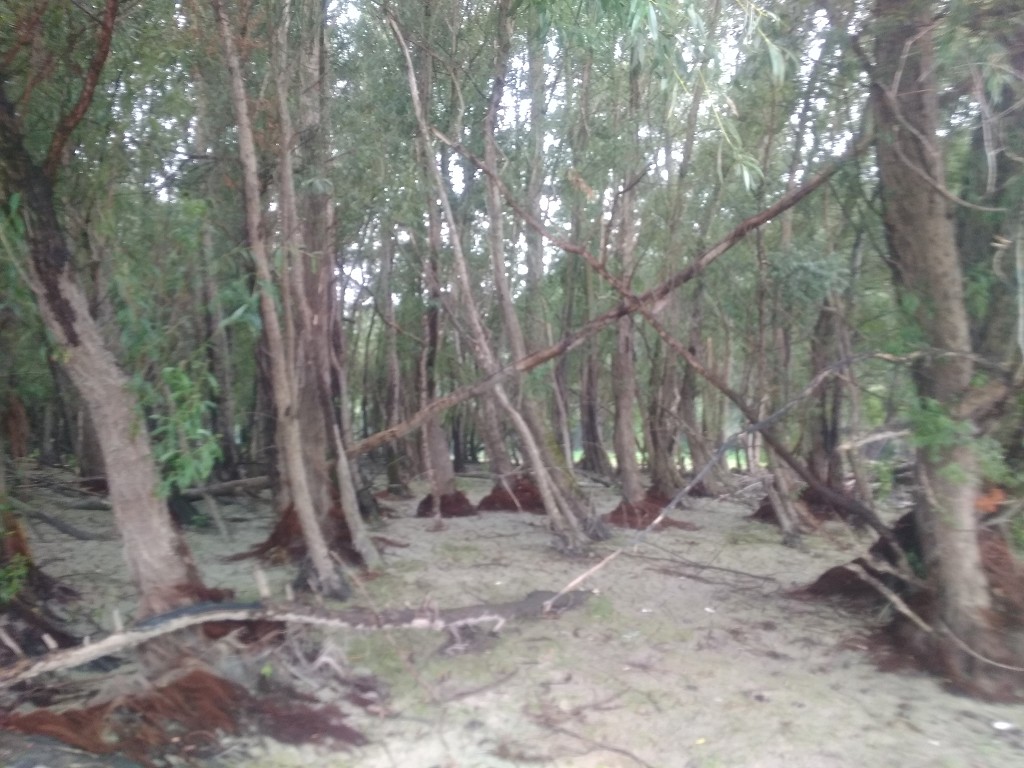
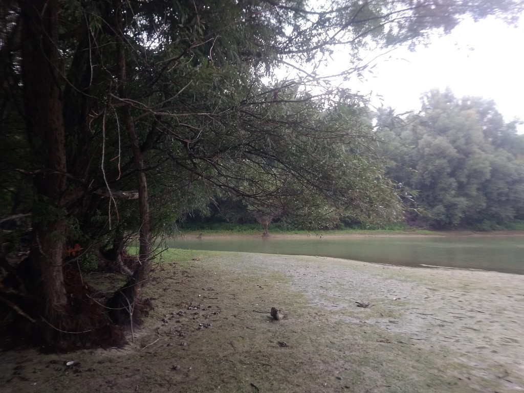
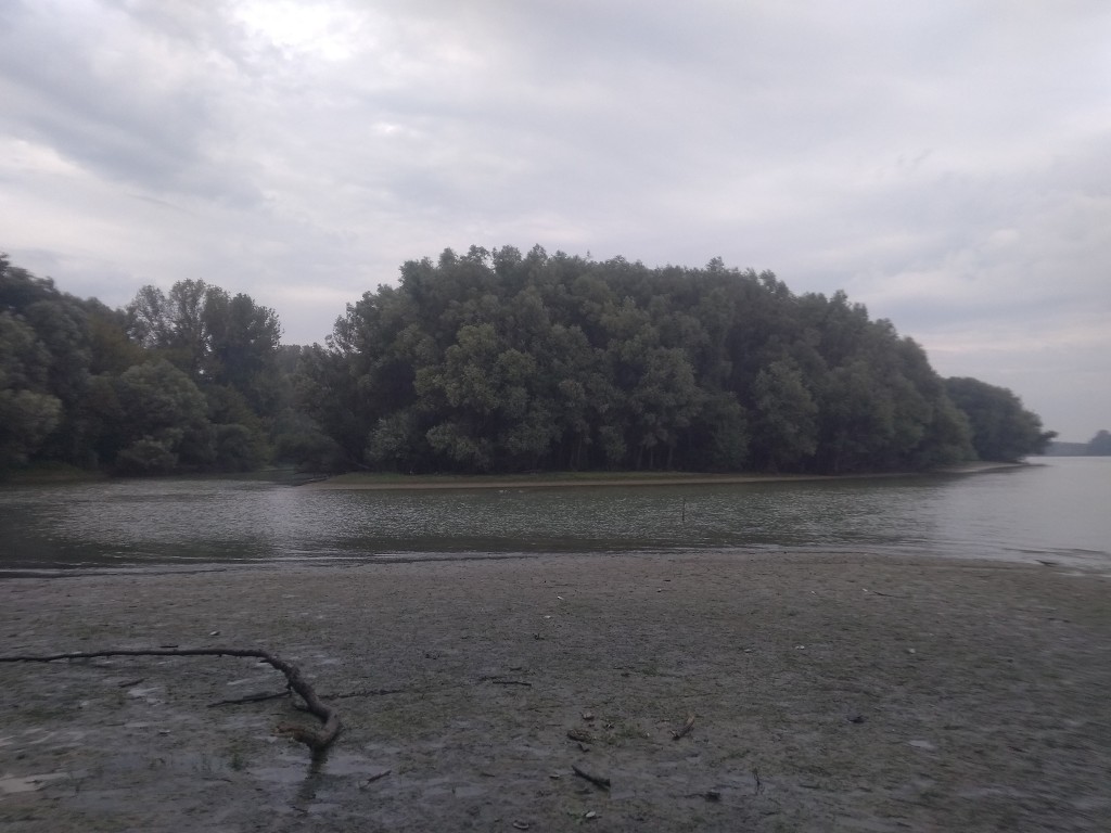
I learn from my OSMand+ map that they’re going to build yet another new bridge across the Danube just a few hundred meters south of here. On my map it’s simply called Paksi híd or ‘Bridge of Paks’ with route number 512. I can’t find any signs of an up and coming bridge in my surroundings. A bit of research shows that they’ll finish the bridge either in Q3 of 2019 (very unlikely) or in 2021, depending on an environmental project called Natura 2000.
Gerjen Ferry and Conserving Energy
A few kilometers downstream, we cross paths with the ferry of Gerjen. I wonder if this ferry will cease to operate once the bridge is built. But we see the ferry parked in its little protective harbor and it doesn’t look like it’s operating that often already. It’s 10:55 and we’ve already covered about 15 kilometers, which is a little more than one-third of the way according to our estimates.
The left bank of the river has a proper cruise ship landing spot with one cruise ship that’s loudly playing music. There are a few buses outside with passengers departing the ship for the buses. Even though it’s raining now, it takes a while before the river’s water levels are filled up enough for easy navigation. Our theory is that this cruise ship also called it quits or also had engine troubles like the Ukrainian one.
The town on the shore goes by the name Meszes and is part of the bigger inland town of Kalocsa. I’m not sure what exactly the attraction here is, but my best guess is religious tourism.
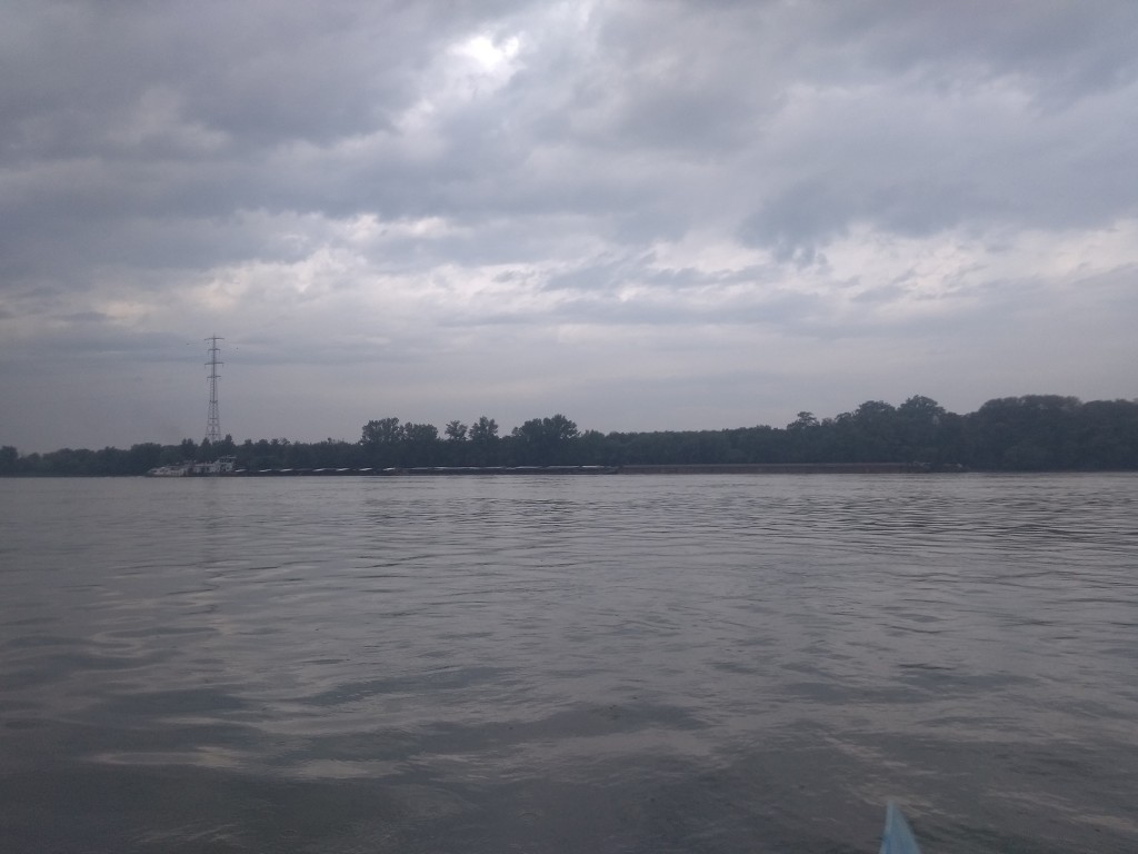
We decide it’s a good time to cross to the left-hand side of the river, which we do toward the power lines in the distance in a slow diagonal manner. We cross paths with a cargo ship that pushes 2×2 barges upstream, which is the most we’ve seen. Jonas needs to make a stop again, so we land shortly after crossing near someone’s private dock. We paddled a bit further downstream to be away from the property.
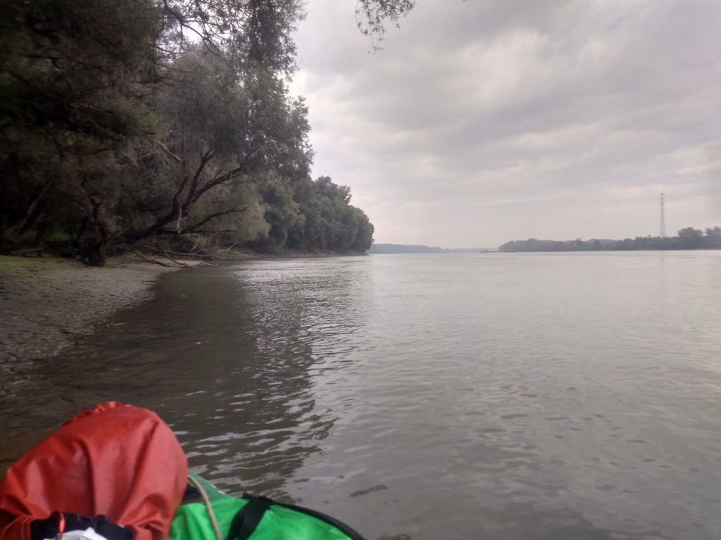
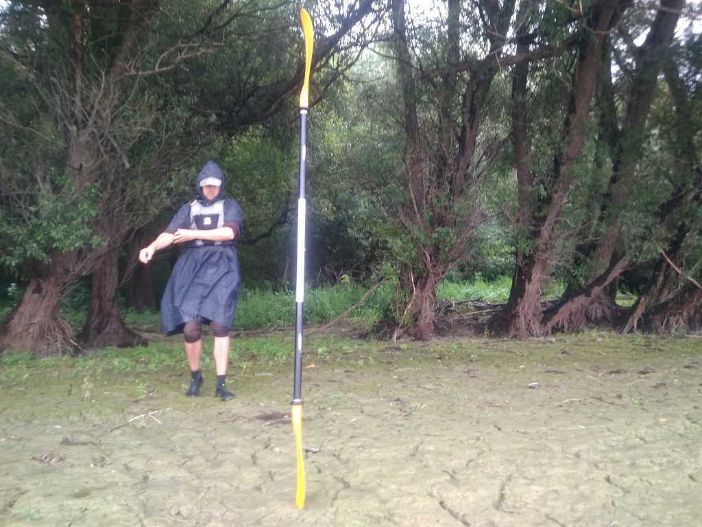
After that short break, we get back into the boat and paddle a bit until we need a physical break. The current isn’t that bad here, so we just float a bit downstream while enjoying the soothing bit of sunshine. It’s almost noon.
Another Break at Fajsz/Dombori
A building appears on a cliff on the right-hand shore. With the sunlight coming from the south, it’s dark and I can’t identify what it is. For now, it looks like a palace. I think it’s time again for some kind of huge palace. This all used to be part of the Austro-Hungarian empire so there must be more.
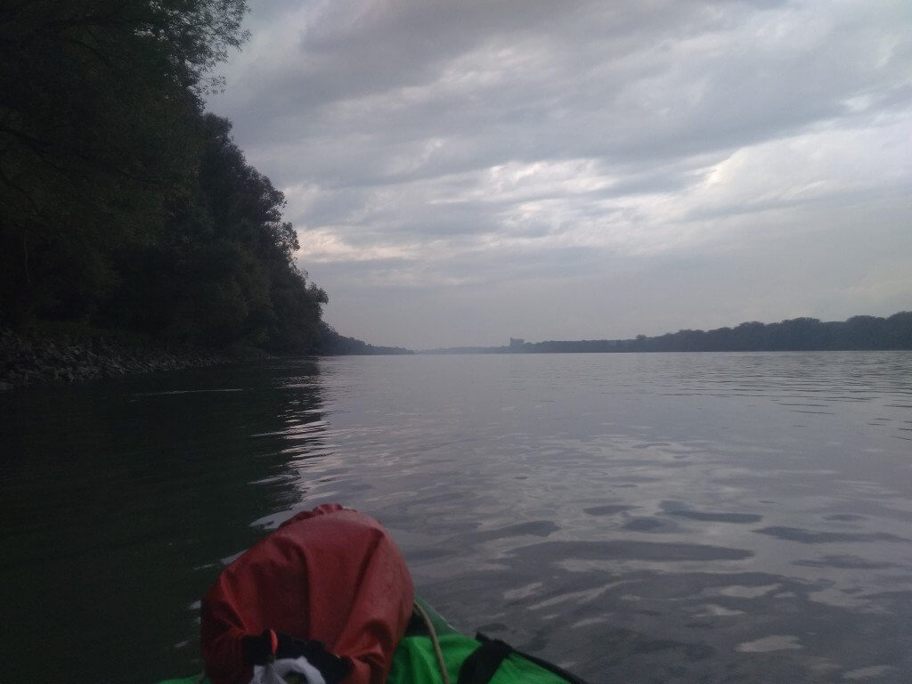
The kilometer signs on the shore are back. This one informs us it’s 1509 kilometers to the Black Sea. Soon we’ll encounter the round 1500-kilometer sign, but we totally missed the 1600-sign and I can’t remember the 1700-sign either.
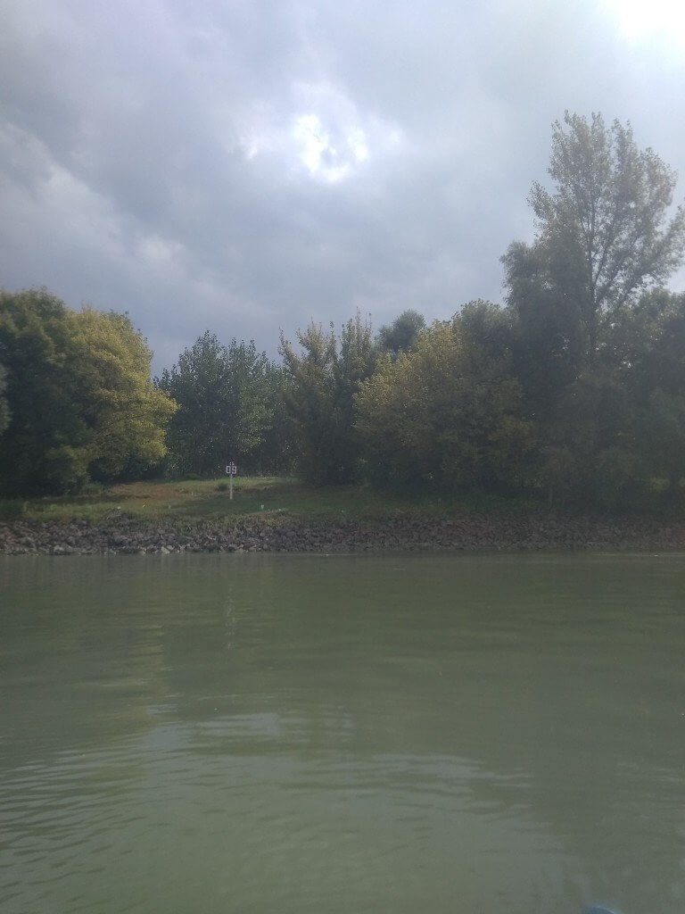
Upon paddling closer, I see it’s not a palace at all but some kind of factory or storage. We’re approaching the town of Fajzs on the left and Dombori (or Vajkapuszta) on the right. There are two roads leading towards the water almost opposite one another. The logical conclusion of that is that there must be a ferry here, but there’s no ferry on my map. Google does imply that there’s a ferry here.
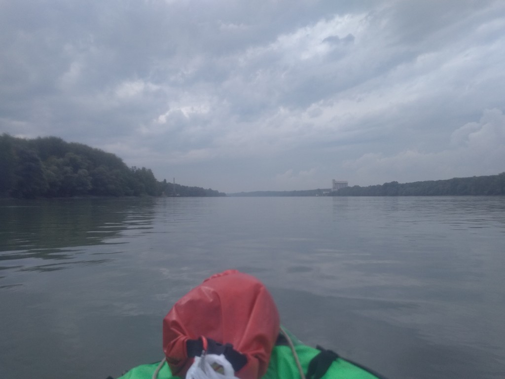
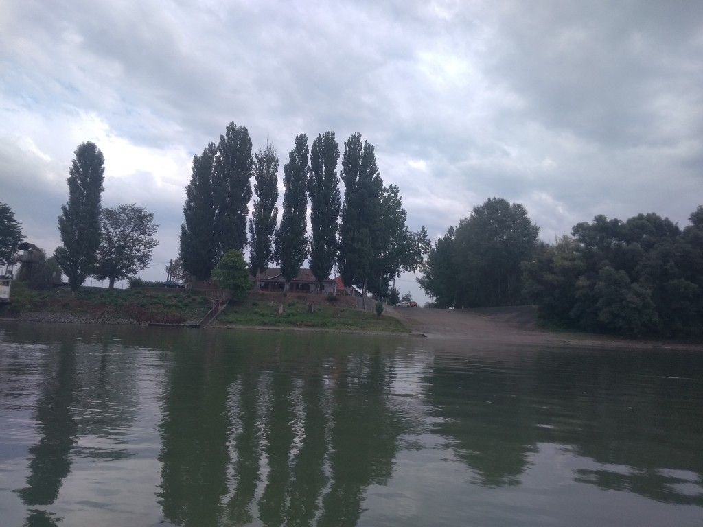
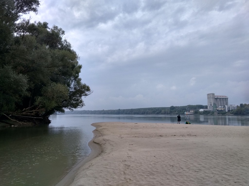
There used to be a really large meander here that led the Danube all the way to the town of Fadd far behind Dombori. Now it’s a dead arm used for recreational purposes. At the corrected shores of the Danube, there’s now this industrial building I can’t figure out what it is. A man fishes on the riprap of the other shore near the restaurant at the slipway for this mystery ferry. We want to take another break, but out of sight from this individual.
In a little inlet behind Fajzs, we find a sandy island that’s not mapped at all. We land there to have our break. It’s quite beautiful here and right across from the factory on the other side. My best guess is that the factory does something with sand or gravel. Our break only lasts fifteen minutes before we continue downstream.

Rain, Flashes, and Thunder
We continue paddling at 12:35. The kilometer signs on the shores count down to 1500. The clouds move in quickly and they block out the sun. There are a few minutes where we’re still not sure whether it’s going to happen, but we know better than to hope. Jonas checks the latest weather update, which is a bit too hopeful for what we’re staring at. In just half an hour it went from pleasantly sunny and cloudy to dark and threatening.
Then we see the wind.
Moving in our direction, the downstream trees start swinging violently and like dominos, the trees closer to us follow suit. The water in front of us is still shimmery, but what’s coming in is the opaqueness of disturbed water. A strong headwind hits us as if we drove into a wall. It stings my eyes and I squint.
We know what’s next, so we put on our poncho hats and tuck the skirt of the poncho between our knees and the side of the boat. I put my dry gloves in a pocket underneath the poncho and switch back to wet gloves in anticipation of the rain. I’m motivated to paddle hard to either get through this or to make as much progress as possible until we’re forced to seek shelter on the land.
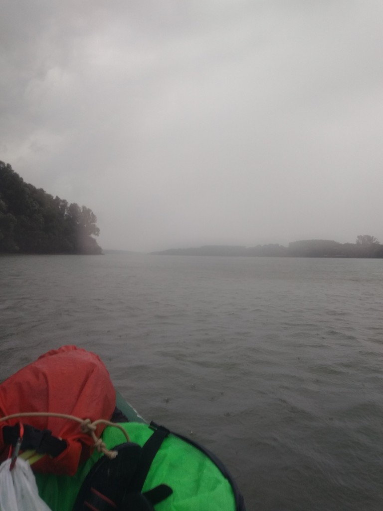
The rain comes with a force at 13:10 and doesn’t relent. There are houses on the right embankment that we previously saw clearly, but now the falling water blurs that vision. Then we see a flash in the distance. It’s five kilometers to the next bridge and I hope to make it there before the flashes get too close. I tell Jonas about it and we sync up to pick up speed. I put my camera in my vest to film the situation, hoping to catch a lightning flash or something.
For the next 45 minutes, we don’t stop paddling.
I feel seriously scared of the lightning and ensuing thunder. At first, I count the seconds between flash and thunder and know it’s far away enough. But the time gets shorter and shorter and the flashes get brighter and more defined. The bridge is visible from a long distance and it feels like we’re crawling despite our unyielding efforts to get closer. Taking a break from paddling would mean falling still in a few seconds with this headwind.
The only exception I make is for the 1500-kilometer sign to snap a quick photo. Jonas suggests we might need to get out here, but I’m fixated on that bridge. There’s a large puddle of water in my skirt that’s threatening to spill into the boat, but I don’t have the time to deal with it. We’re so close to that bridge.
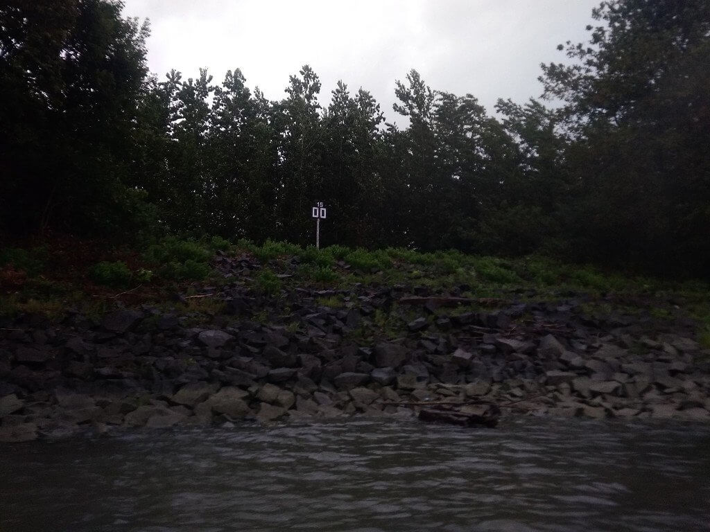
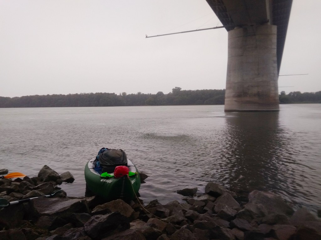
Once we arrive, we first empty our skirts in the rain shadow of the bridge. But the bridge is leaking as there are drainpipes on the surface to get the water off the pavement. Unfortunately, one of these pipes is really close to our landing spot. It’s 13:55 when we take a break under the bridge.
Hiding from the Lightning under the Saint Lázsló Bridge
We crawl out of the boat onto the riprap. It’s not exactly comfortable here, but we needed a break and this is the safest spot available to us to ride out the storm. I notice the battery of my action cam has died in the cold. My phone is also complaining.
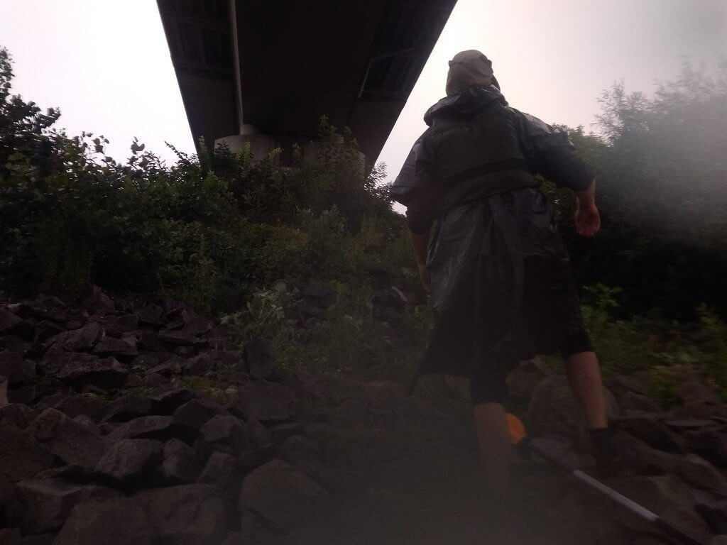
For the next 45 minutes, we’re hiding under the Szent Lázsló híd while the flashes get really close. Jonas Googles whether it’s safer to hide under a bridge. The internet says yes it’s safer. I use my spotty internet to share some Instagram stories of this day. All the heat my body has produced in the last hour quickly disappears as we’re exposed to cold wind and rain under the bridge. I’m miserable and I’ll probably catch something from exposure. We eat some of our sandwiches with our backs towards the wind.
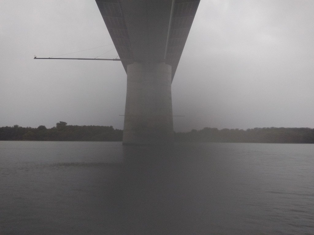
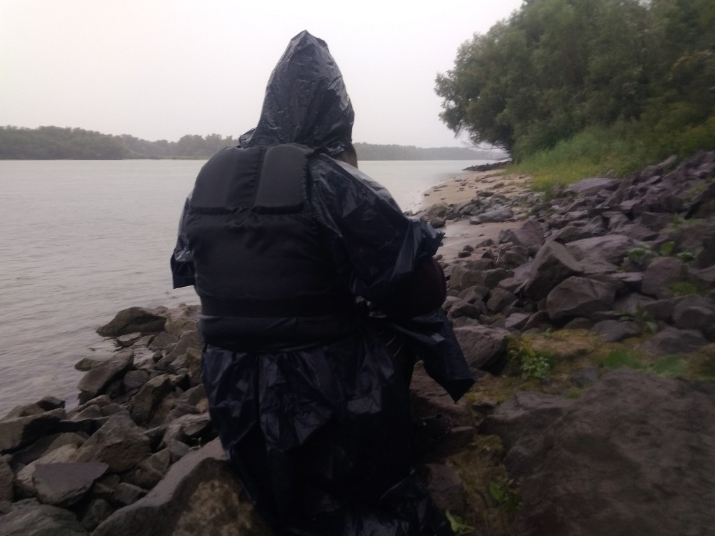
A flash and immediate thunder hit the opposite shore not so far away from us. I’m thinking about that one Facebook connection I have who has apparently been struck by lightning. I realize I have a very poor understanding of what lightning does to a human and what the chances of survival are when you’re not immediately in civilization. It’s probably a horrible way to go.
A chill runs along my spine and my entire body temperature drops some more. I’m actually quite familiar with the symptoms of hypothermia, so I know that once the lightning is a bit out of our way, it’s best for me to paddle on just to keep warm. Jonas Googles how much time between flashes and thunder we’ll need to consider us outside of the danger zone. “Hmm… 30 seconds. That’s too long.” We count the ever-increasing time between flashes and thunder until it’s 12 seconds away, or about 4 kilometers away. I want to paddle on to Érsekcsanád Dunapart, which is ‘only’ 11.4 kilometers away by now.
Approaching Érsekcsanád Dunapart (Duna-Drava National Park)
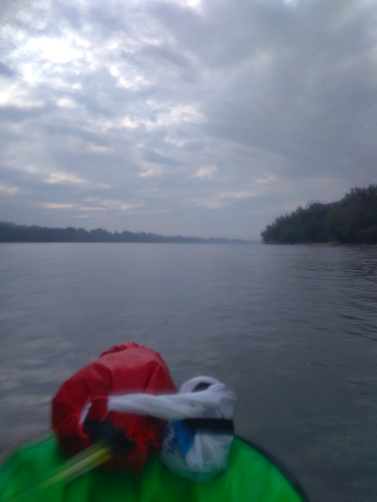
It’s still raining and we’re still cold, wet, and miserable. But at least we’re warming up by now. I try to tap into that power again that I had before we arrived at the bridge, but I feel torturous pains in my left arm where my scar is. More than a year after my GP botched my attempt at birth control, butchered my arm, and caused a lot of financial damage to me—I’m still in fucking pain on a bi-weekly basis. And with the lightning still not far behind us, it’s not a great time for my entire arm to give out.
I let Jonas paddle alone for a bit while I’m dry heaving from pain nausea. A minute later, I try not to focus on the pain and paddle along with him. I put a brake on my paddle power to not feel my arm again. It works in part.
It’s still raining with various intensities and we can see the end of the cloud cover to the west, where there’s sunlight. The river bends left around Gemenc Dunapart, where there’s a cross on the shore and the Gemenc State Forest Railway. We’ve officially entered the Duna-Drava National Park (Duna–Dráva Nemzeti Park). The Drava is a very long right-hand tributary of the Danube and it originates in Italy. The Drava forms the border between Hungary and Croatia for quite some length. But we’re nowhere near the border with Croatia yet, which means this National Park is quite huge.
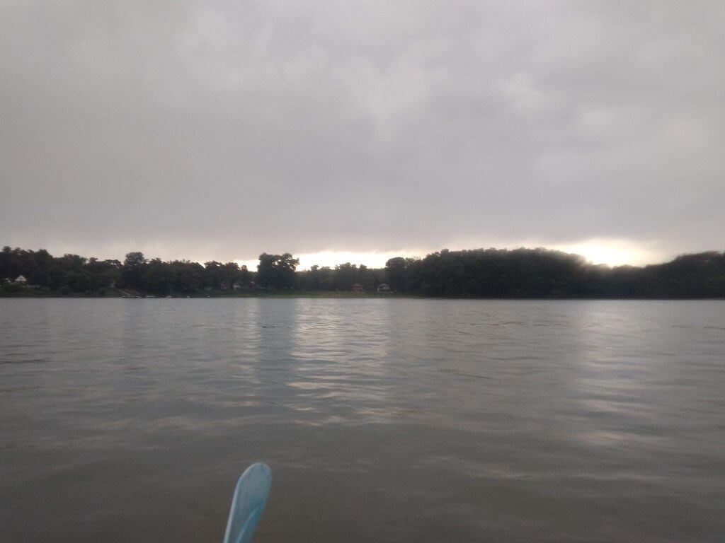
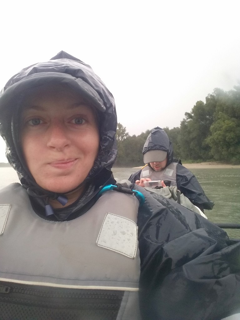
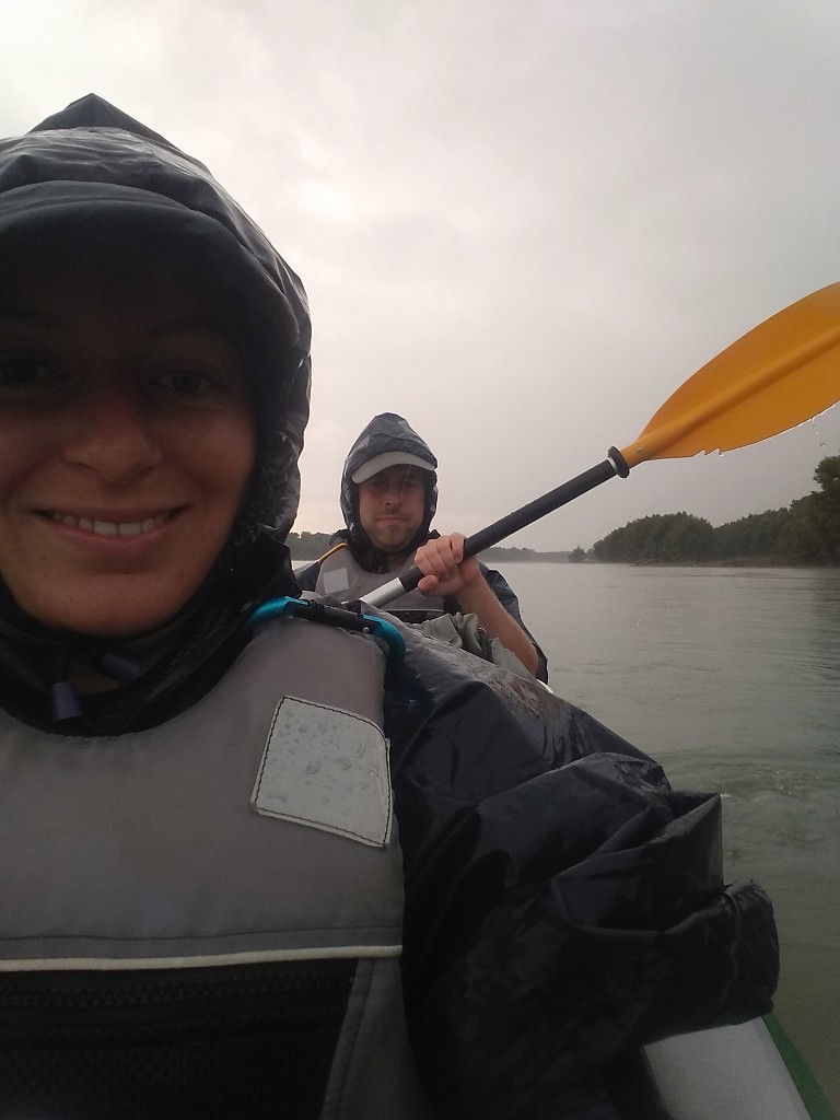
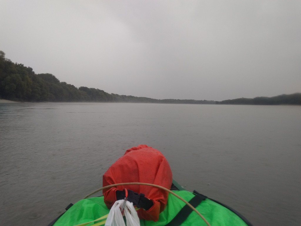
We’re slowly moving towards the right shore of the river without really thinking about it. The river bends right and the rain picks up again. I take a few photos of our kind of miserable situation while trying to keep our spirits up. The water is apparently warm enough here from the summer days (or the rain is cold enough?) to cause a bit of steam on the surface of the water. Not as much as we’d seen at Paks nuclear power plant, though. It’s very mysterious and incredibly hard to photograph. It’s 15:30.
The Final Stretch to Érsekcsanád Dunapart
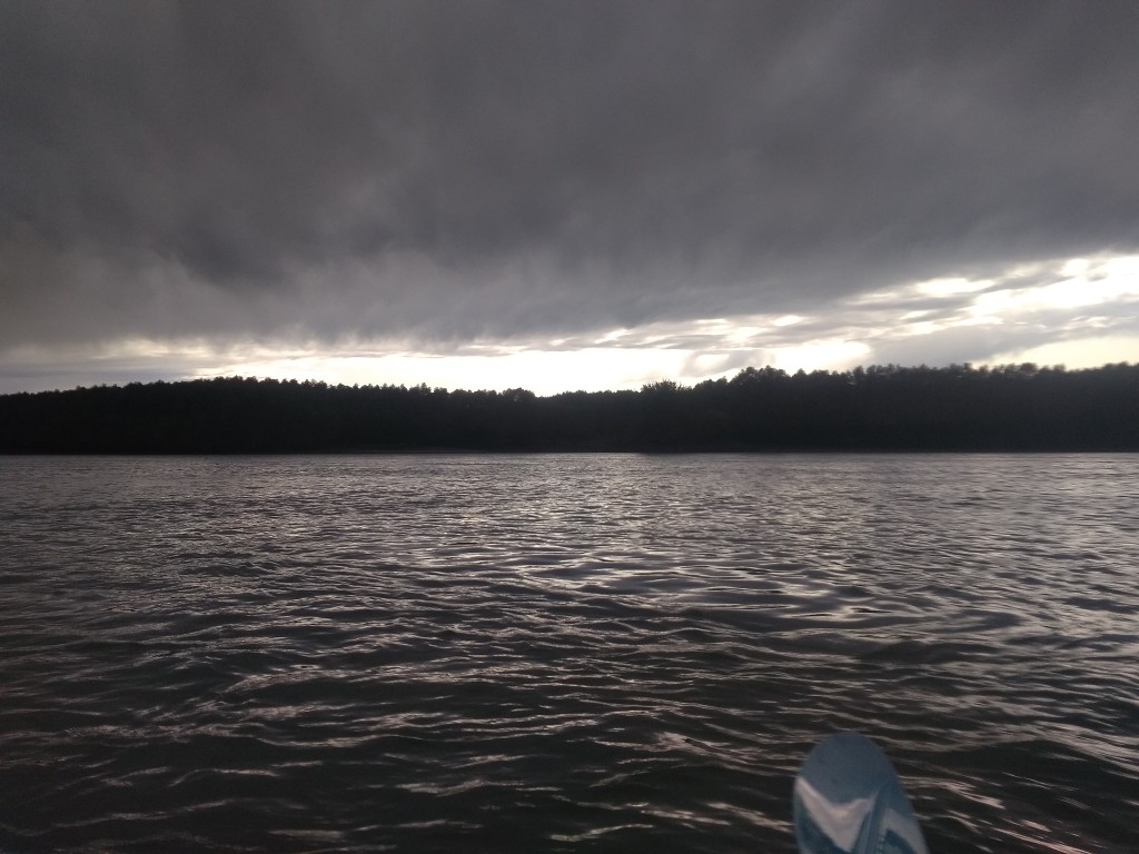
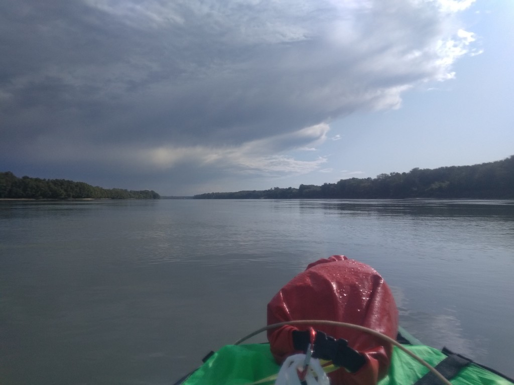
The Danube straightens out again and the rain stops. We can see the edge of the clouds and the sunshine. As the clouds move from west to east, the sunlight reaches us eventually. It’s only now in the light that we see how fucking wet everything is. Everything is so beautiful now the sun is out. Now that I see the color sky blue again, I feel like I’ve traveled in the darkness for too long.
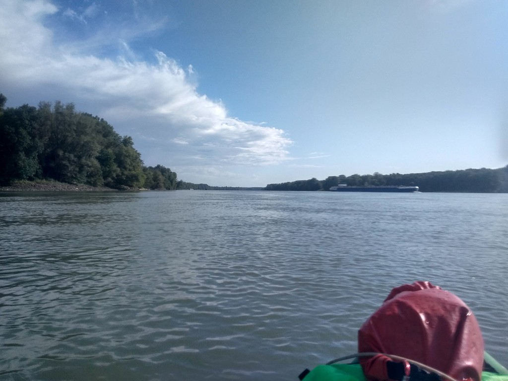
At 16:00, we course-correct again to the left-hand side of the river in anticipation of arriving in Érsekcsanád Dunapart. A cargo ship travels upstream. There are some houses on the shores, probably second homes. These are actually already part of Érsekcsanád Dunapart municipality.
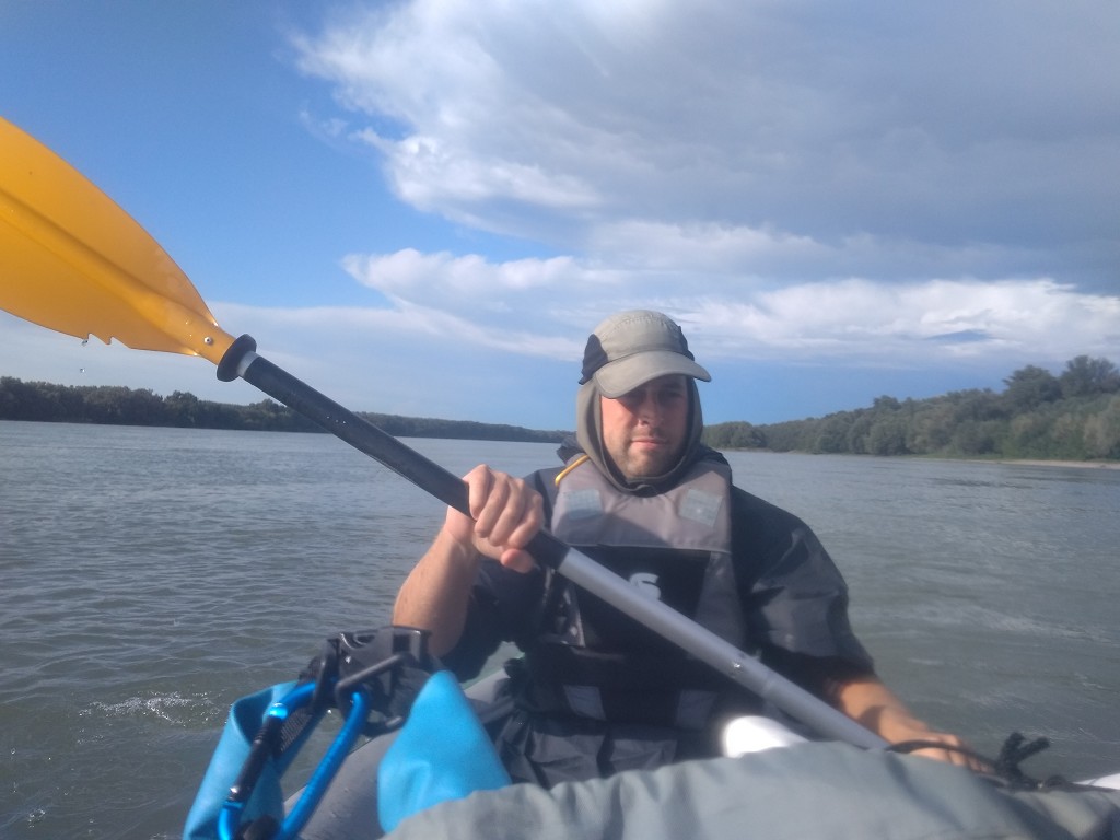
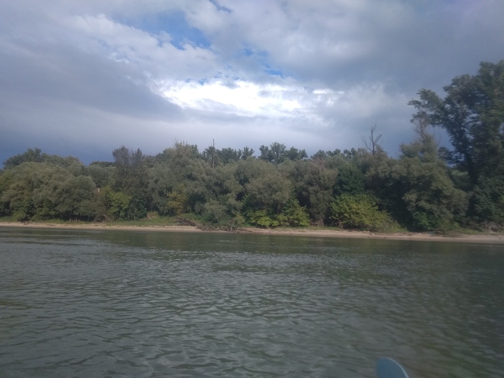
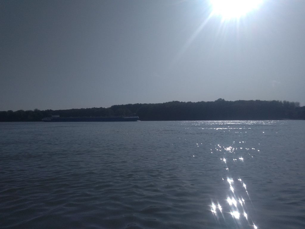
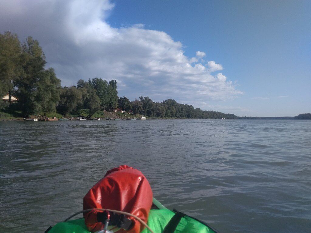
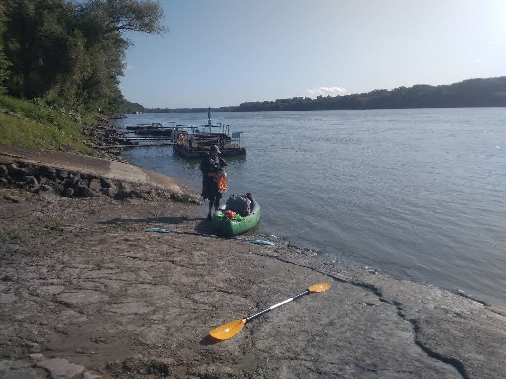
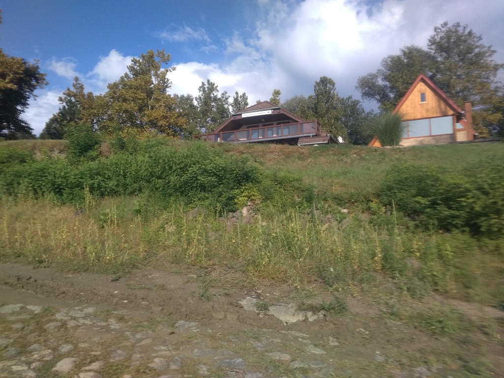
Jonas’ battery is too low, so it’s my job to check where we should get out. We approach the town very slowly and see many private piers. Then we see a building with a big sign ‘Duna-Dráva Vendégház’, which is the place we’d booked. It’s right in front of two concrete slipways. One is very steep, the other more gentle. We take the gentle one to land our boat in Érsekcsanád Dunapart. It’s 16:30 and we paddled more than 40 kilometers for the first time. Wow.
Checking in to Érsekcsanád Dunapart Guesthouse
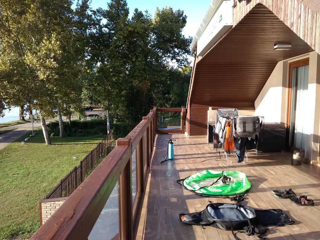
There’s no one at the guesthouse. I suggest to Jonas that we call them. There’s quite some strong sunshine, so I’m moving all our stuff up the embankment and lay it out to dry in the fading sun. There’s not much time left for this.
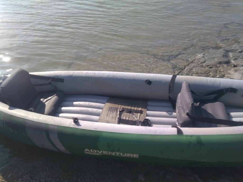
I take my wet clothes off and feel the physical exhaustion now. I invite Jonas to carry Zucchini with me up the embankment and into the sunshine. We sit down there for a bit while trying different numbers with our phones – both of which are low on battery now. We eventually make contact with our hosts, who show up in their car 10 minutes later to check us in. It’s a very nice guesthouse that we have all to ourselves now. We get to use the garage to store our boat in. We’re keeping Zucchini inflated; we’re paddling away from Érsekcsanád Dunapart again tomorrow morning.
We communicate with our hosts in a mix of Hungarian, English, Italian, and Russian. They’re eager to help us feel at home in the less than 24 hours we have here. In another universe I’d probably stay in this town for a month, writing a book or something. They mention the nearby restaurant named Rév Csárda – the only place reachable on foot – which is some posh place. We apparently can’t go there without calling first.
When our hosts have left, we both take an incredible shower. After putting everything on the balcony to dry and sitting down in the fading sun, I try calling the only restaurant of Érsekcsanád Dunapart. Once I get put through and get hung up on when I ask if they speak English (prepared to switch to Hungarian on a negative reply). I try calling five times more, but my call never gets put through again. What a weird way to run a business.
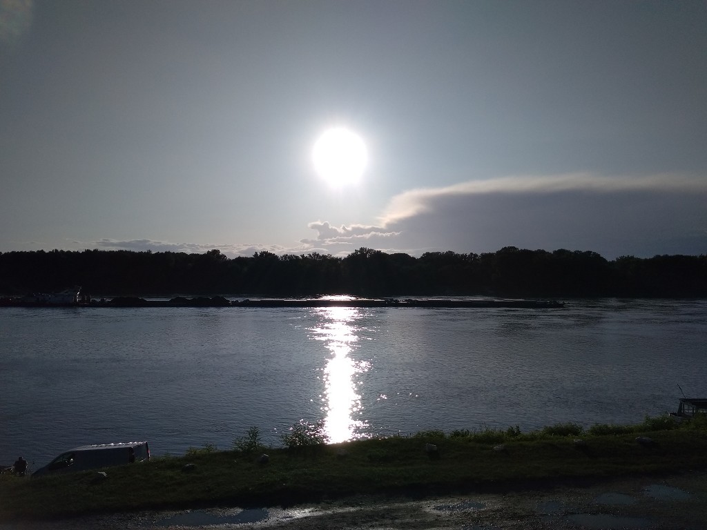
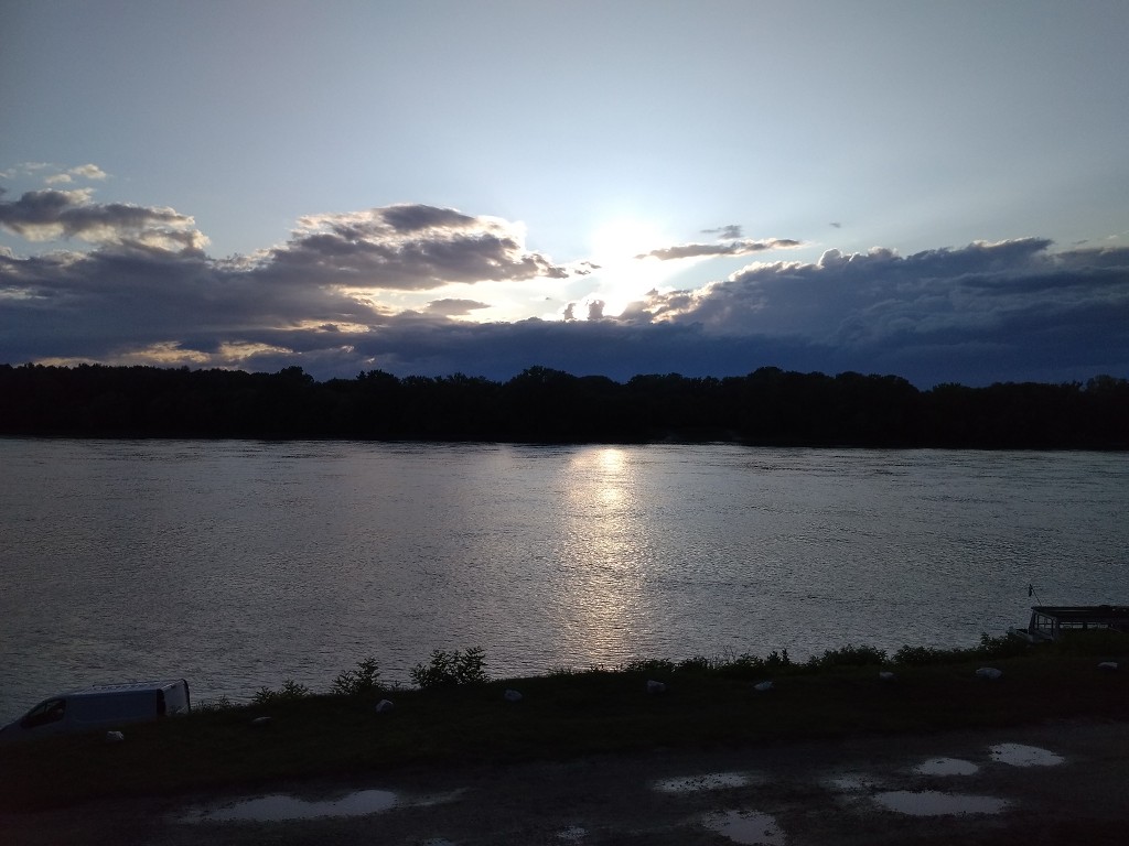
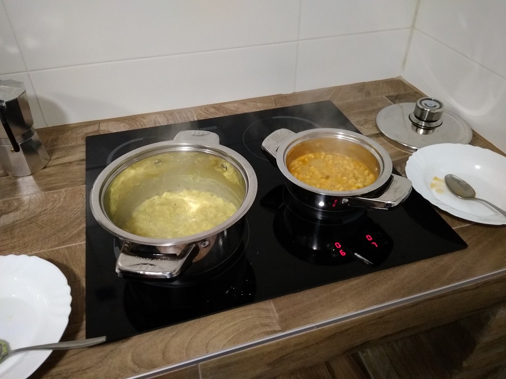
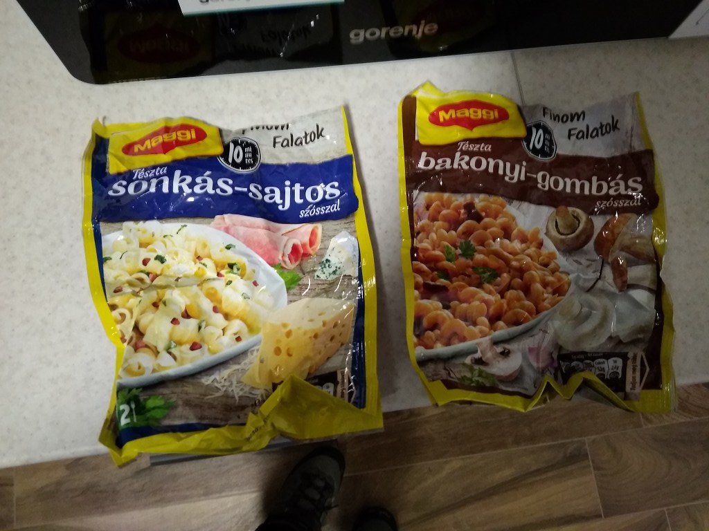
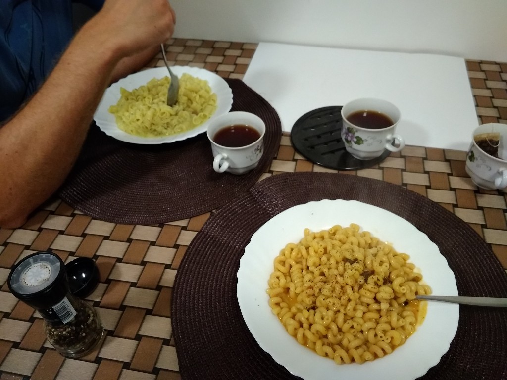
So in the evening, we prepare our dehydrated pasta dishes in the kitchen. It’s a bit of a depression meal after such a long day, but we were prepared for this situation. We go to sleep relatively early to paddle on to Baja the next day.
Thank You for Reading! I’d Love it if You’d Share This Piece.
