")


 in Trujillo, Honduras")


")

, and Airtel")


")
")

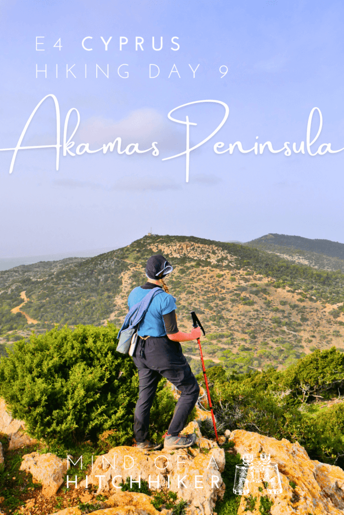
We hiked this section of the E4 on Monday the 8th of January, 2024. Since we based ourselves in Polis, we took the bus from there to the start in Drouseia and hitchhiked back from the end in Neo Chorio. We’ve tried to do as much of the E4 in Cyprus as possible without a car.
Planning + Bus 648 to Drouseia
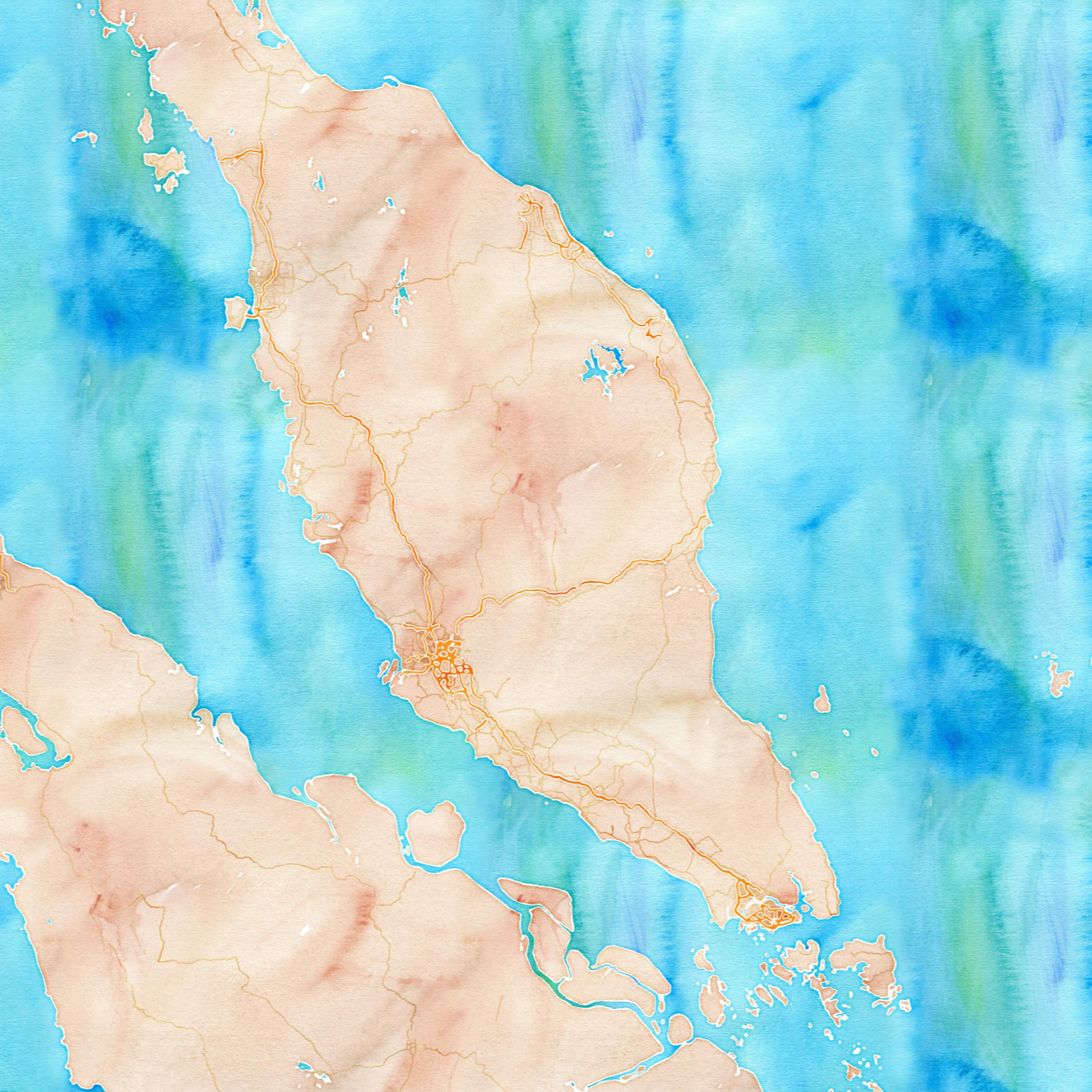
Two days before the hike, we plotted a route via a section of the E4 with overlapping bus lines. My OSM map showed a route of bus 648 going to Drouseia, which is on the E4, and one back from Neo Chorio, not on the E4 but close enough. Jonas looked up on the website of the Paphos Region buses if the buses are real and when they go. Unfortunately, much of it wouldn’t go on Sunday, so we postponed the trip to Monday.
On Monday, we walked from our lovely accommodation in Polis with the resident cat Misha to the bus station. Jonas promised the floofball that we’d be back before sunset—a promise that’s difficult to keep. The bus to Drouseia was scheduled to leave at 9:00, but it was a bit late. This quite old minibus with a roaring engine showed up to do the job. I was excited for the ride.
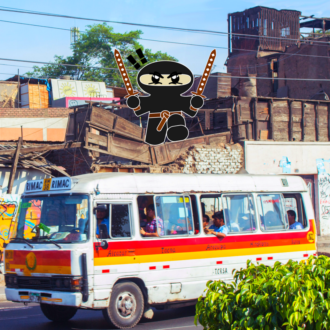
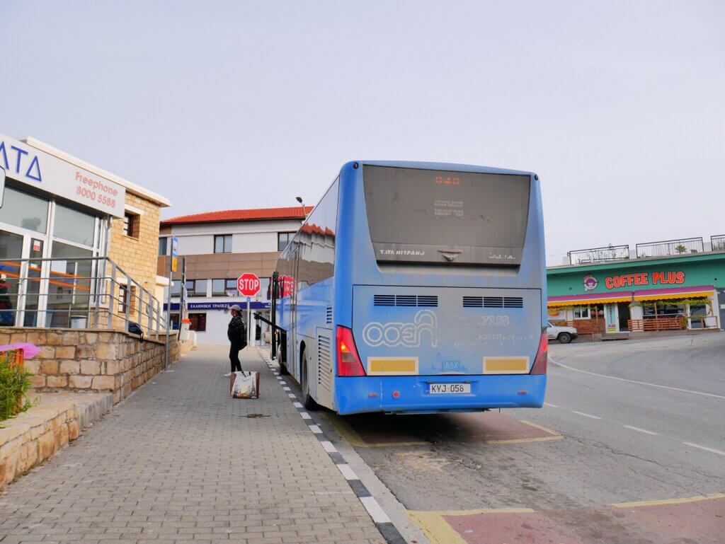 Not the bus we took, but the main bus stop in Polis
To his surprise, Jonas managed to pay for our tickets with the Pame motion bus card we still had from the Larnaca Region. It still had some €4 on it. Somehow, this old bus had a payment terminal, but the bus from Limassol to Paphos didn’t. The driver had looked at the card and said “I’ve never seen this technology in my life.”
The ride did not disappoint.
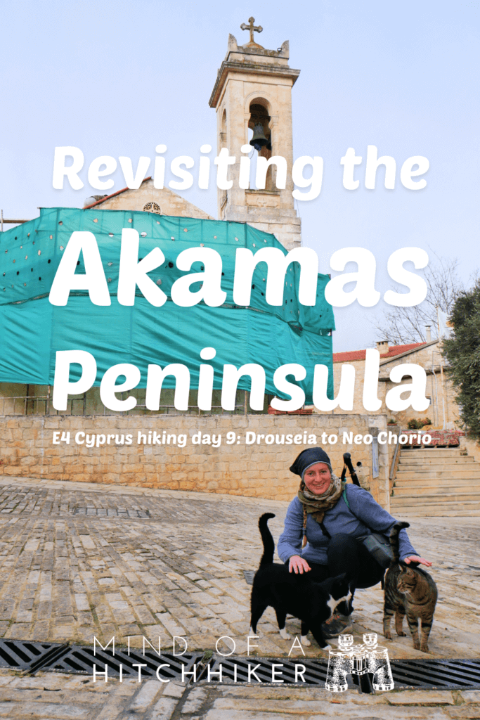
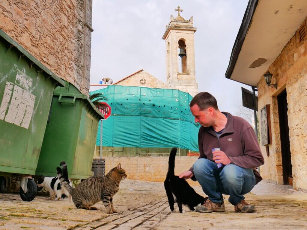
Once we got out in Drouseia at the church (under renovation), we spotted some cats near trash bins. We spent a good 15 minutes petting them and giving them some Dreamies. There was a clowder of tuxedo and cow cats, with some diluted patterns too. One of them was pettable. One tabby showed up, who was also pettable. All the friendly cats were sterilized and some of the shy ones too, but some young cats were very afraid of us and not sterilized (yet). I hope we did our part in socializing them so the local organization can snatch them for TNR.
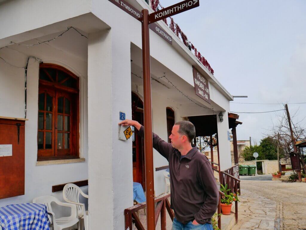
At 9:35, we walked past the church to a taverna with an E4 sign that was hanging upside down. Jonas fixed it and we started the hike.
Drouseia to Pittokopos Viewpoint: Cool Rock Formations
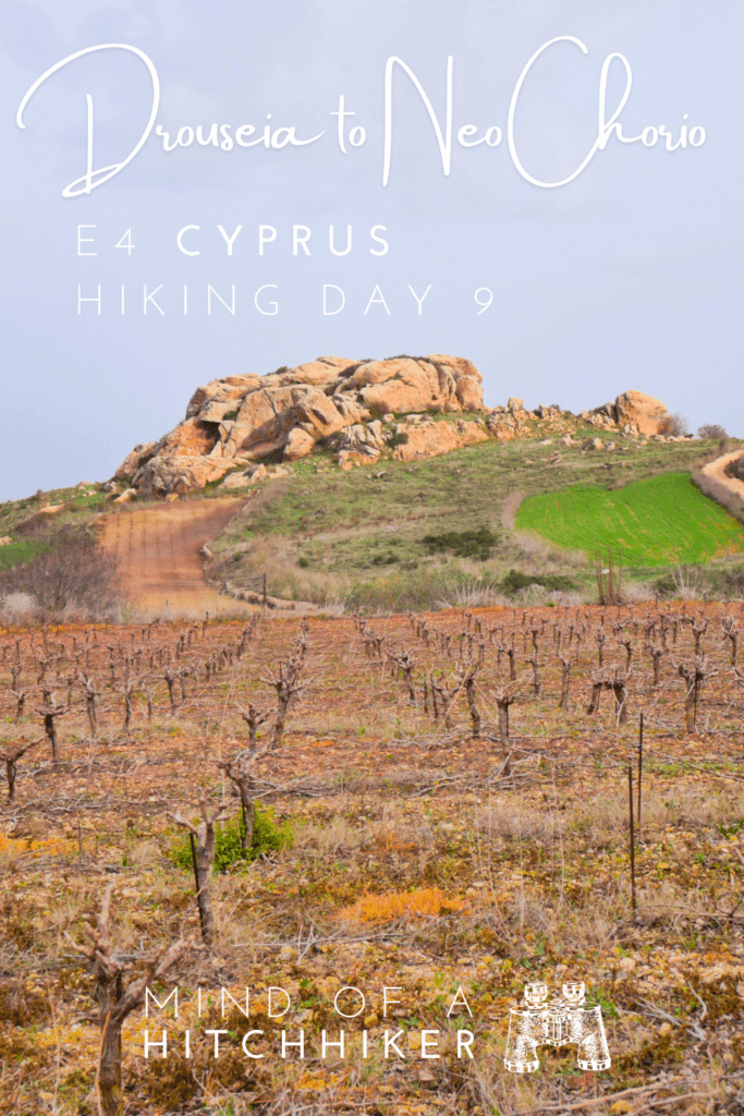
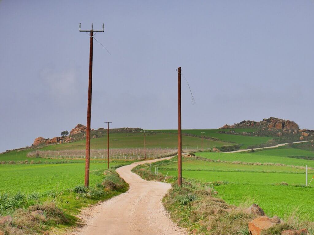
The route out of Drouseia took us up and down increasingly smaller roads. There were some beautiful rock formations in between farms. I was afraid of free-running dogs in such a rural area.
We came past a small church called the Saint Lucas Chapel with a water point. The door was locked so we couldn’t check out the inside. It had a nice balcony viewpoint though. A villa across the street had two dogs that noticed us and started barking at us, but thankfully they were behind a fence.
We continued to a mapped viewpoint and gazebo called Pittokopos Viewpoint. To our left, there was a mapped restricted area we thought was a military base. We could just see the radar turning. Google Maps says there’s the Cyprus Atmospheric Observatory (CAO) of Ineia, a neighboring village of Drouseia. Measuring global climate change and such.
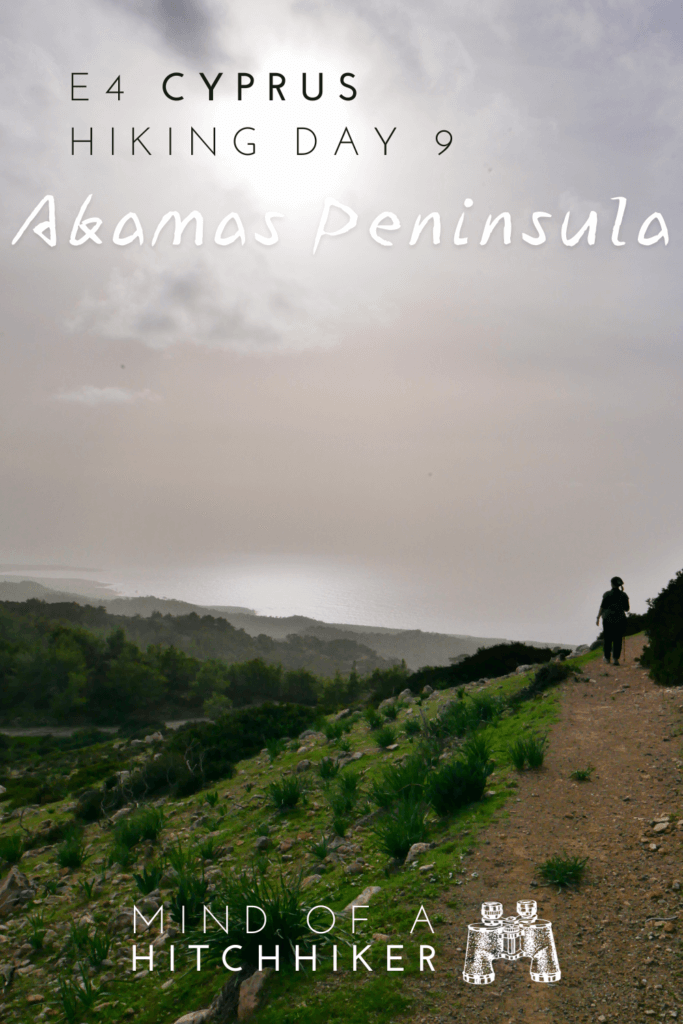
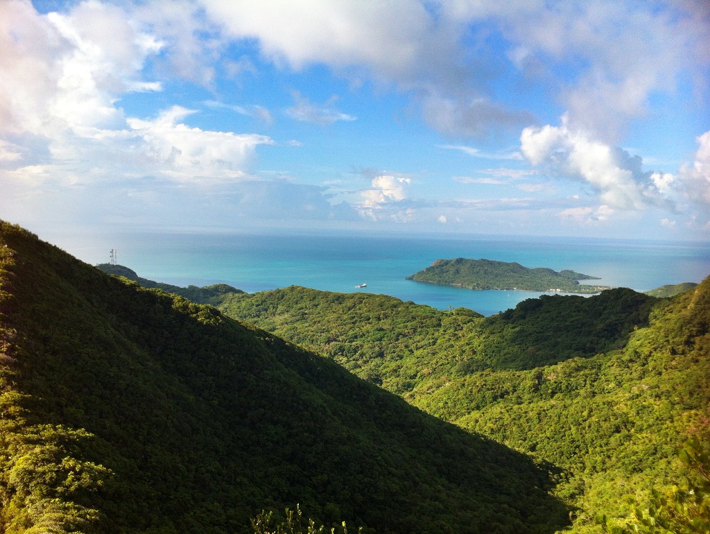
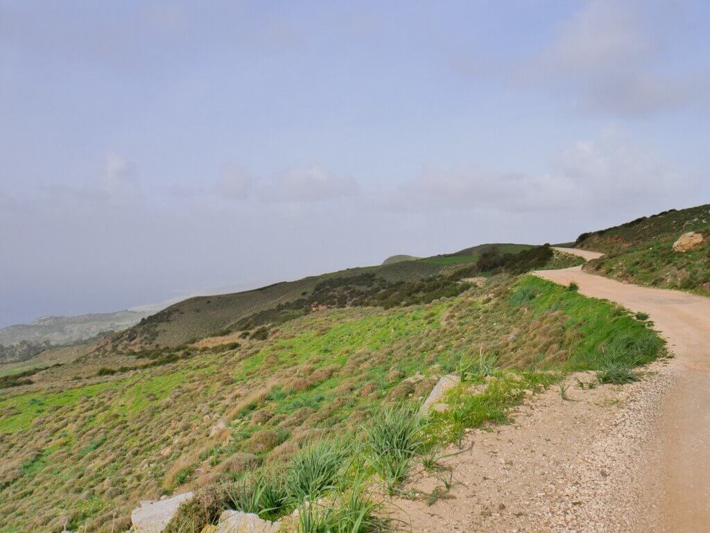
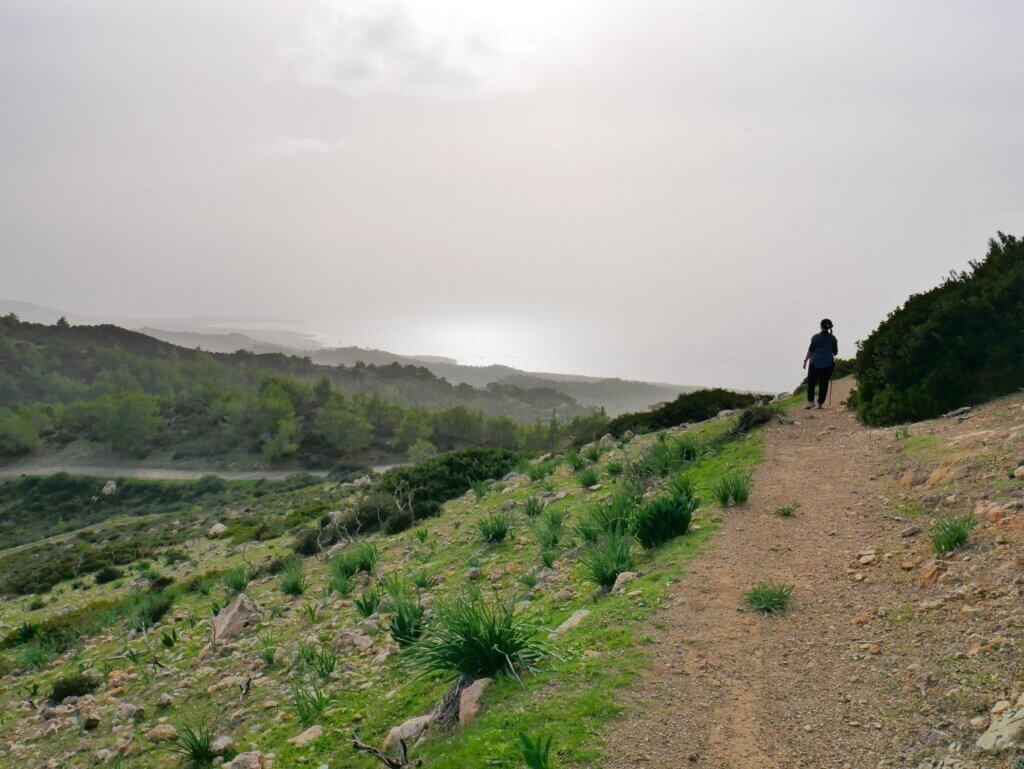
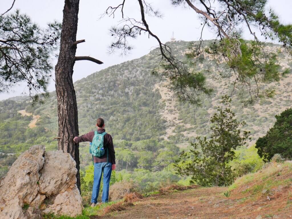
Next, we arrived at the gazebo with a working water fountain. Though we weren’t tired enough for a rest, we felt like we had to use the infrastructure and admire the view. It wasn’t the clearest of days, but we could still identify things. It’s on a ridge where you can both look west-southwest to Lara Beach and the Pegeyia area and also see the sea at Chrysochou Bay next to Polis and Latchi. Little did we know that most of today’s hike would be such a ridge walk.
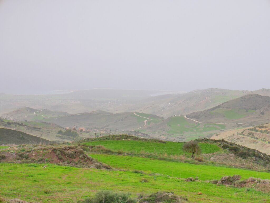
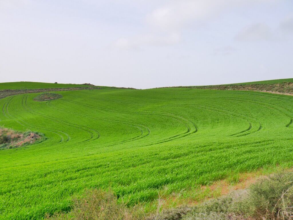
At this gazebo, we took a turn and continued down a very nice farm area. There were some cars and tractors on the road, but not too many. This was the windward side of the ridge and with the recent rain, it was quite green down towards the sea. With the moody weather, the wind, the small country roads, and the lush greenery, this could have easily fooled me into being a place in the Azores or the United Kingdom.
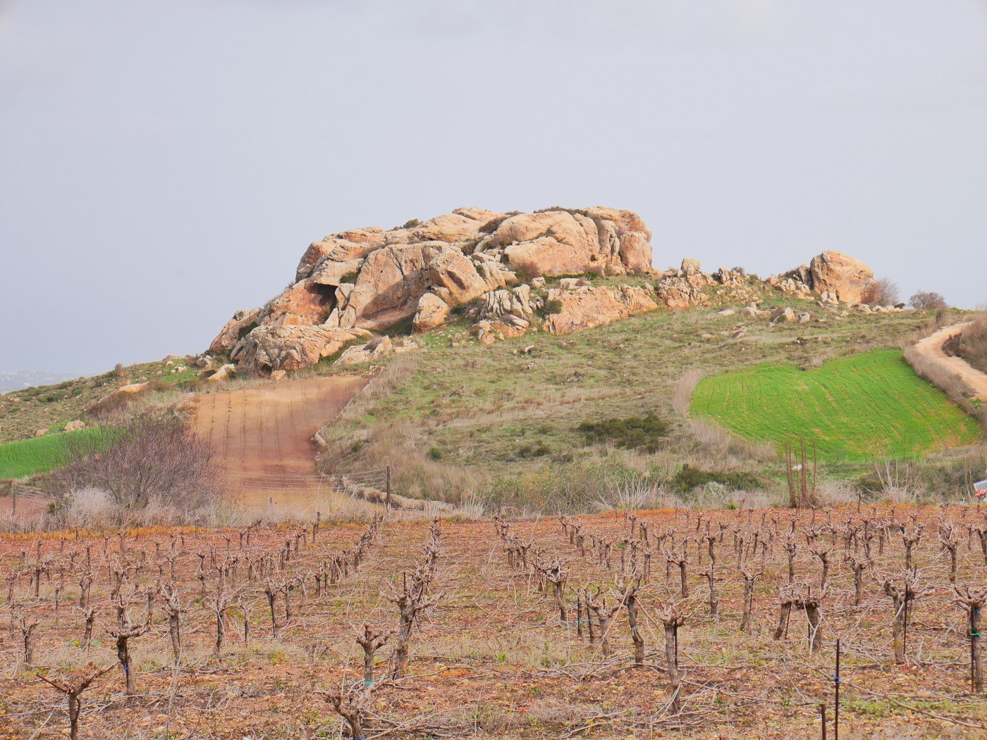
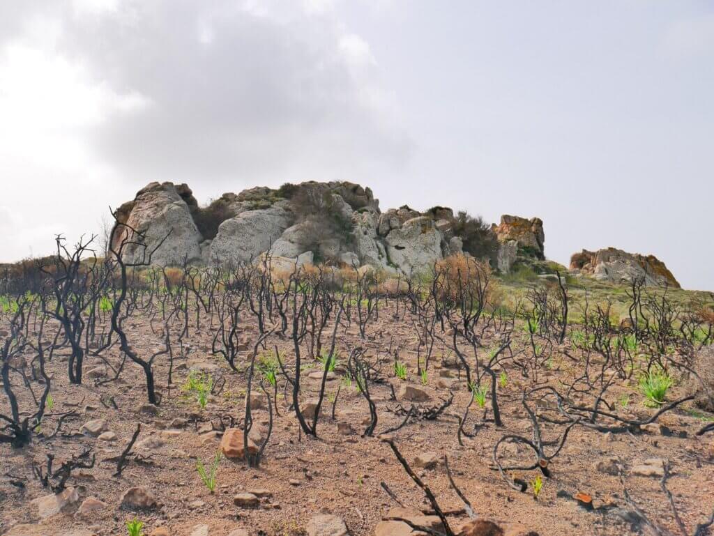
We followed this road until we came past another rock formation, this time with a burnt vineyard or fruit bushes next to it. It looked a little spooky and I’m not sure to which degree this was intentional as the damage was so localized. Whatever was planted there, it wasn’t there yet in April 2021:
Entering Akamas: Buggies, Forest, Decisions
In the next stretch, we entered a dry and rocky zone. The road became more rocky and we encountered fewer cars. We did encounter one tour group of one leader on a quad and two buggies trailing behind with a whole family inside. That’s when you know you’ve entered Akamas National Park, since the last time we were here, we hitchhiked the trunk of one of those buggies back to the Baths of Aphrodite.
We descended quite a bit. The views changed and more of the west coast of Akamas peninsula opened up in front of us. Down there is also a section of the E4 that we are probably not hiking since it’s too difficult to reach. It’s the area north of Lara Peninsula and Cape Yerasino.
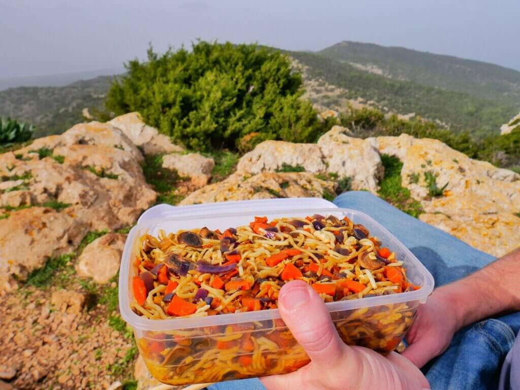
We continued hiking and I felt a sudden drop in energy. We’d had a heavy breakfast of Greek yogurt, banana, and local carob syrup. There was a box full of egg-fried noodles and two bananas, but this didn’t feel like a good place to sit down and eat something. So I pushed through and within 10 minutes I’d forgotten I was hungry.
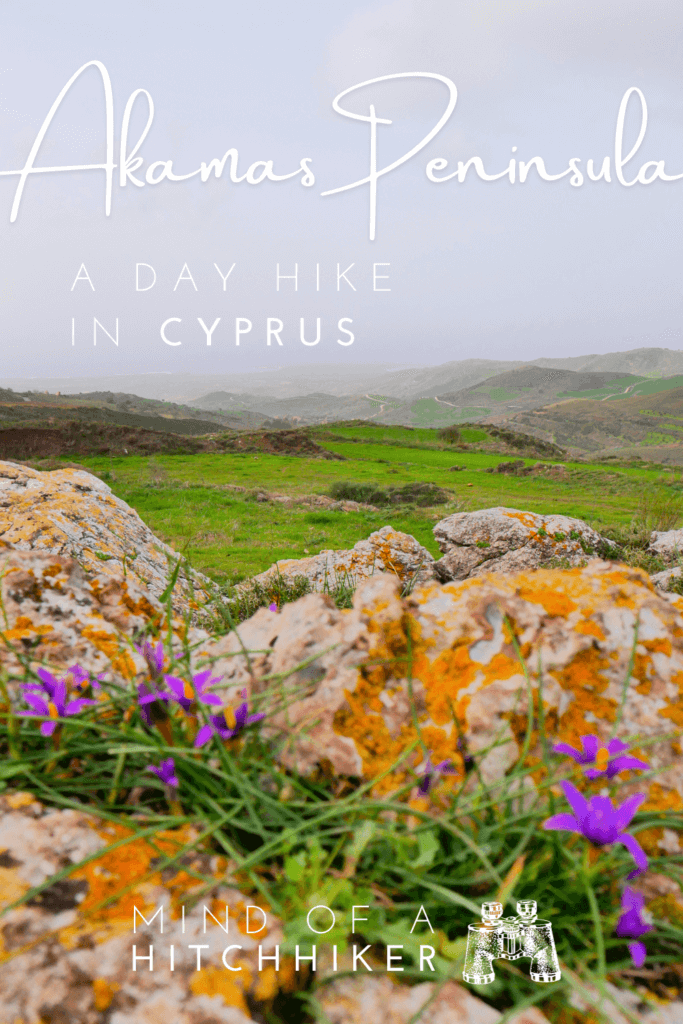
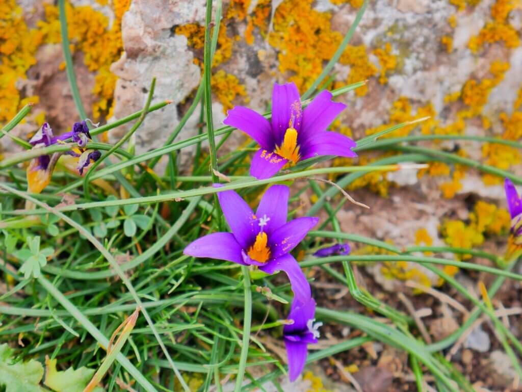
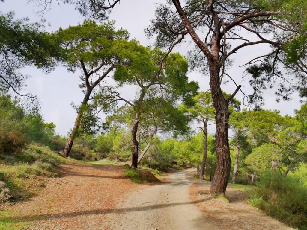
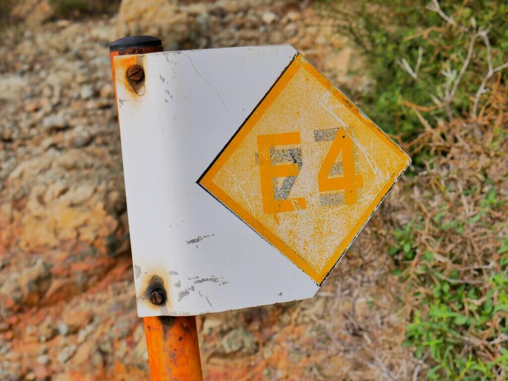
We descended some more and the biome changed yet again into a pine forest area. There were these beautiful purple flowers everywhere along the trail and even some mushrooms between the trees. At one split, we encountered a fucked-up E4 sign. The E4 bit was turned upside down to make the arrow point in the right direction, so whoever felt responsible painted over it. The next E4 sign got us to take the wrong route for 20 meters. We soon corrected it but Jonas didn’t like that.
Soon, we arrived at a fork in the road where we had to decide what we really wanted to do.
- Stick to the plan and walk via the Smigies picnic area to Neo Chorio
- Hike up the mountain between us and the Smigies picnic area and then continue to Neo Chorio
- Hike up the mountain between us, then go to the Smigies picnic area and actually hike the Smigies Trail till the crossing with the Adonis Trail and walk down to the Baths of Aphrodite and hitchhike/take the bus to Polis from there
Option two had a viewpoint and a mapped bench, so we decided (for now) to hike up that mountain for bonus points and then eat our lunch.
Fried Noodles at Pissouromoutti
We looked on satellite view for a shortcut up the mountain trail. It was a bit convoluted how we had to walk around a quarter of the mountain to end up on the correct (circle) trail. However, the satellite view didn’t show a distinct unmapped shortcut. On the trail south of the mountain, we tried to shortcut for a bit, but we just wasted time and had to return. The section of (drivable) trail there was very muddy.
At the split, the hiking trail encircling the mountain began. To my happy surprise, it was a skinny path starting with stairs and not 4WD friendly. The more we walked of it, the happier we became. This trail was lovely!
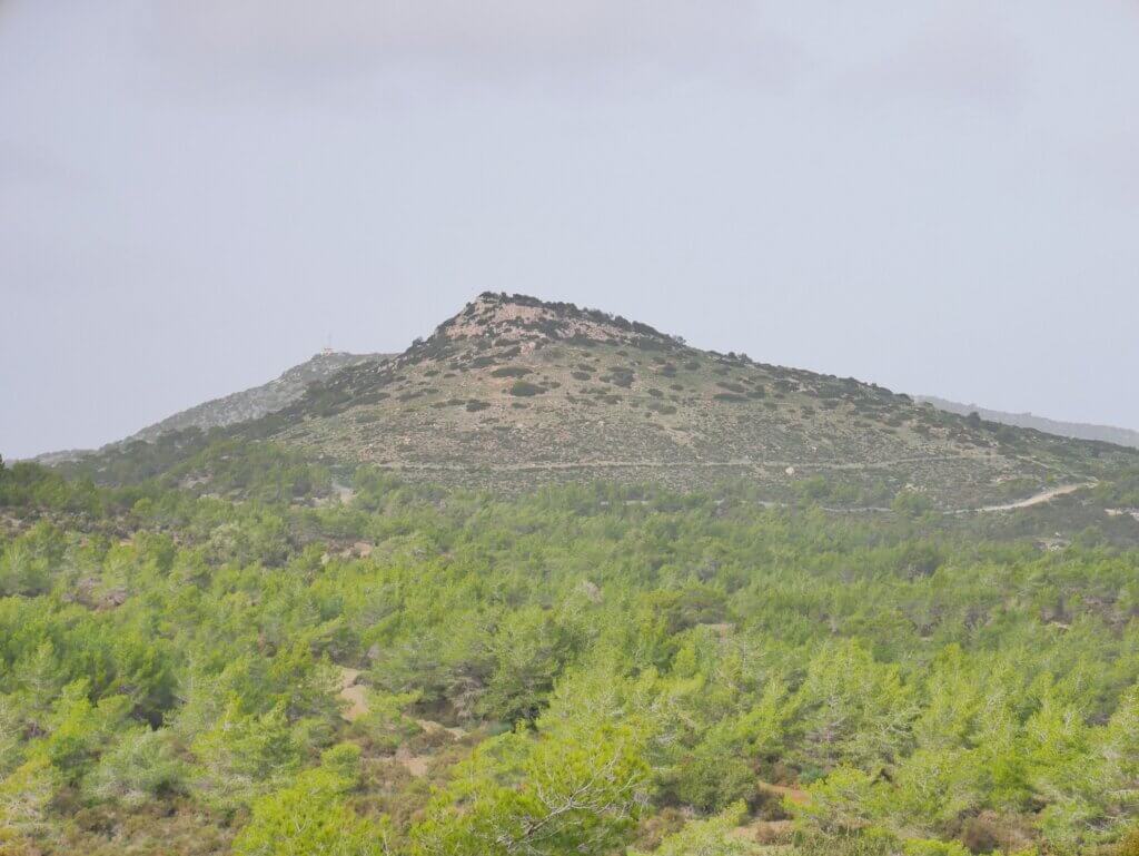
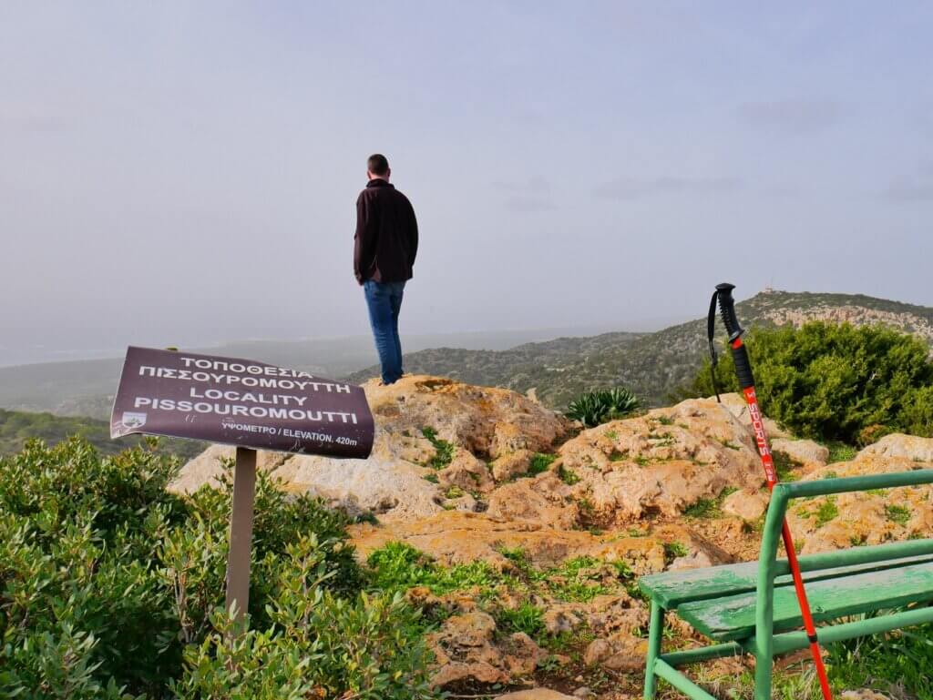
As we ascended, we left the forest and entered the rocky zone. The feeder path crossed the circular hike we intended to partially walk to Smigies picnic area on the way back. The switchbacks led us up to the viewpoint where there was a (weather?) monitoring station and a bench, as promised. There was a sign that said this mountain or locality goes by the name of Pissouromoutti (Πισσουρομούττη) and it’s at 420 meters.
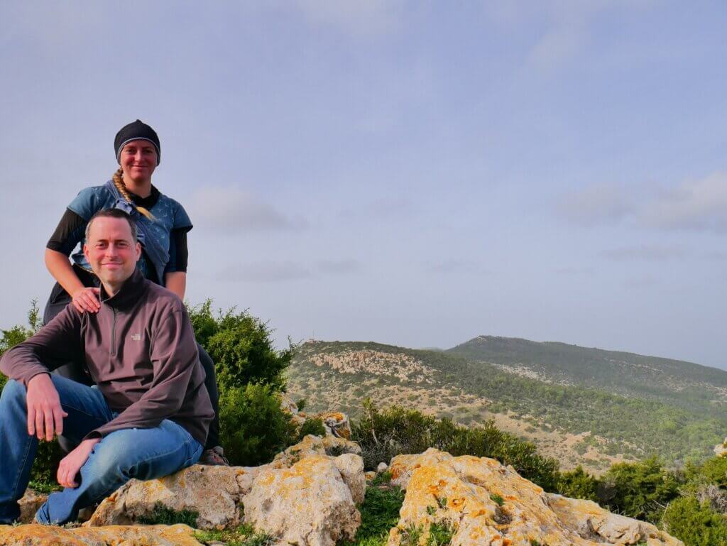
Jonas unwrapped the box of egg-fried noodles we made the evening before. Thankfully, it wasn’t too windy at the peak. We shared it on this lovely bench with views of the Akamas Peninsula, in particular the next mountain with the fire lookout called Piana. The mountain we had climbed for bonus points on Day 8 of E4 hiking in Cyprus – Moutti tis Sotiras – was somehow not visible from this lookout.
Descent to Smigies Picnic Area
After taking photos, we descended the mountain and took the semi-circle to the Smigies picnic area. It’s possible to drive up there from Neo Chorio, so there were a few cars when we arrived at the bottom of the Pissouromoutti Trail.
We were looking at the signs of the Smigies Trail when a small and old(?) military helicopter flew over very low and very loud. All the trees were moving like crazy and I thought it felt unnecessarily risky. Back in Svalbard, we were also close to a (giant) helicopter on one day trip. But that was a helicopter rescue from a ship practice round. That didn’t scare me at all, but there are no trees anywhere in Svalbard. And maybe I trust the Norwegians and their equipment more than the Cypriots.
We were considering walking that 3-kilometer section of Smigies Trail till it overlaps with the Adonis Trail. From there, we could walk down the Adonis Trail to the parking lot of the Aphrodite Baths and take the bus. However, I remembered that this section of the Adonis Trail has a bit where you have to step over a water pipe for about 500 meters. That bit sucked while climbing it up while still feeling fresh, I didn’t think I would like it that much while walking down and being already a bit tired. Also, you don’t end up at the parking lot and bus stop, but at the main road.
Of course, we would miss the abandoned mining area of Smigies and the mapped smelting tower. But I thought it was better to stick to the plan: walk down to Neo Chorio, pet cats at the church, then walk further down to the bus stop at the fork in the road. Or walk more bits of the E4, which runs parallel but more up from the Smigies Trail.
We decided to just stick to the old plan and began the descent to Neo Chorio. We quickly dropped into the Agios Minas Chapel.
Neo Chorio: Donkeys and Few Cats
If a car had passed us by while walking to Neo Chorio, we would have probably tried to hitchhike it. But all the cars we encountered were driving up, not down.
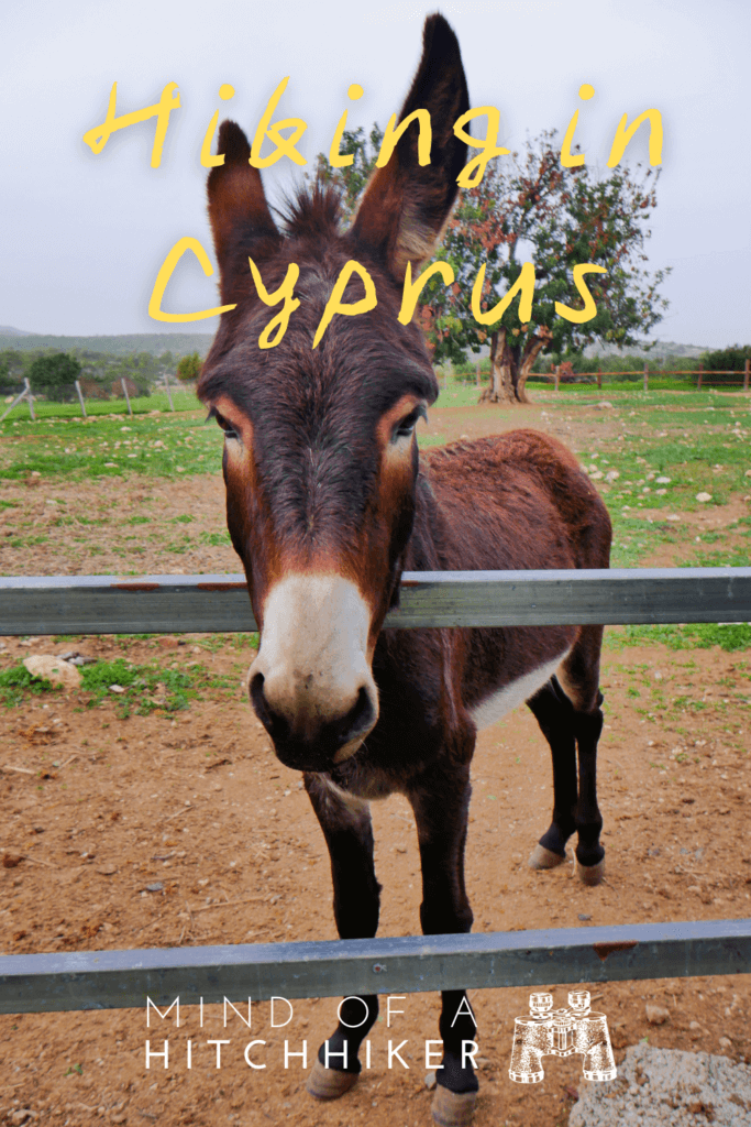
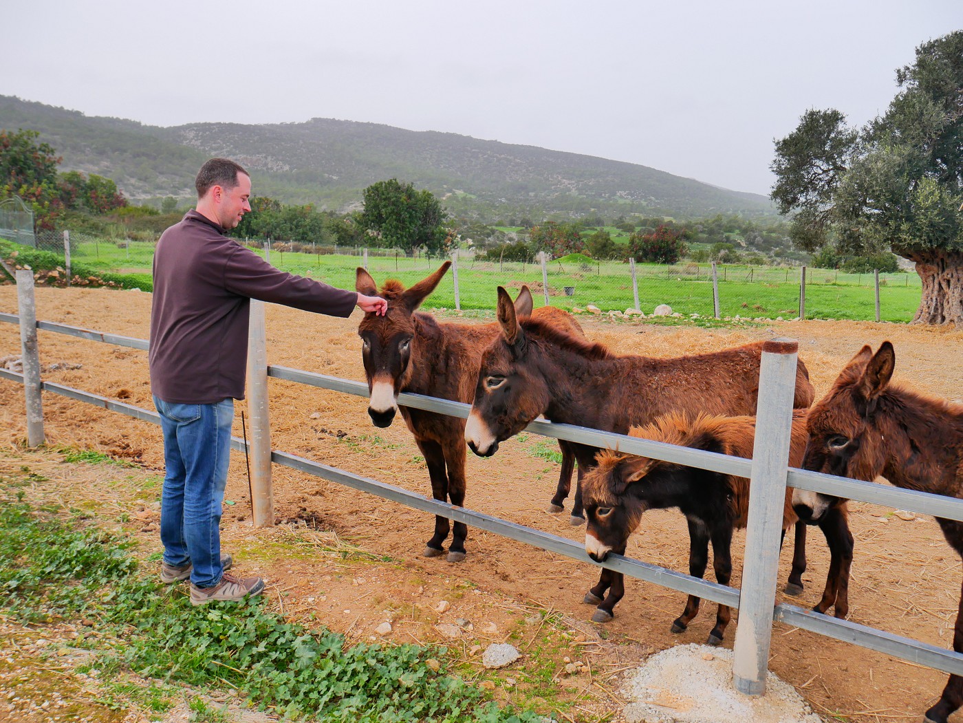
If we had hitchhiked, we would not have had the chance to meet and greet some Cyprus donkeys at some farm. Back in 2014 in Northern Cyprus, I met a bunch of them on the Karpass Peninsula while camping. But back then I was mostly afraid of them since they were free, feral, and fairly large. These were behind a fence, so we weren’t afraid. Mother and child were looking at us with hopeful eyes. I plucked some greenery from our side of the fence and fed it to a few donkeys. Mom looked happy that I’d understood the assignment. All 15 donkeys or so did get a little too excited when they figured we provided food, so we decided to continue to Neo Chorio.
Once in town, we encountered a few very scared cats by a dumpster. Feeding them a little snack didn’t quite work. The cats here were very different from the ones this morning in Drouseia.
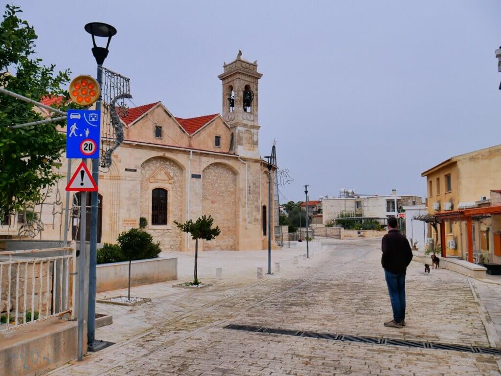
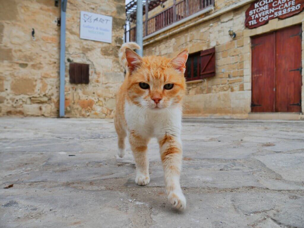
At the main church, I put out the call and said “Pspspspsps!”, but only two small dogs showed up. One had a collar. That was a bit disappointing. However, later met three cats next to the minimarket in Neo Chorio. Only one orange boy was pettable. Predictably, he received the most snackies from us.
It was time to finish today’s hike, so we walked out of Neo Chorio downhill past villas in three different states: hibernation, abandonment, and never-finished construction. There was one very shy cat on the sidewalk who dashed away when we made eye contact. A beautiful tabby, but too afraid of us to accept food. Part of me can’t wait to go back to the Netherlands where there are virtually no strays. It hurts less.
Hitchhiking to Polis
Once we rejoined the main road out of Neo Chorio, there were cars again. We tried to hitchhike them, but none stopped. It’s only 6 kilometers to Polis from here and that’s likely where everyone is going.
We arrived at the bus stop at the fork in the road to the Baths of Aphrodite, which is where bus 622 would come from in about 15 minutes. It goes about twice per hour. Until then, we’d try to hitchhike.
Eventually, a car popped out of the Baths of Aphrodite area and stopped. We said hello and asked if he was going to Polis. He said yes and we got into the car, both in the back because there was stuff on the passenger seat. There was a brand new axe lying on the floor of the car behind the driver’s seat, which is where Jonas sat down.
I didn’t ask his name since it was a short ride and we had some trouble communicating. I said we didn’t speak any Greek, unfortunately, and then he said that Cypriot is a dialect of Greek. He asked where we were from and if Dutch and German are the same language, which I said it’s not. Our driver lives in Prodromi next to Polis. His family is originally from Famagusta; a family history so many Greek Cypriots have.
He dropped us off at the bus station in Polis and turned around to drive the 2 kilometers back to Prodromi. Nice of him to make the detour for us.
On the way back to our wonderful Airbnb with resident cat Misha, we bought some more pitas for dinner and lunch. Tomorrow we’ll leave for Paphos city, which is the last stop before we leave Cyprus. In the end, today’s E4 hiking day between Drouseia and Neo Chorio turned out to be probably our favorite hiking day.
Good info? Consider buying me a Cypriot Coffee!


Donate via PayPal

It’s also possible to share this post