


")


")
")


 to Get a SIM Card in Ukraine (Kyiv)")
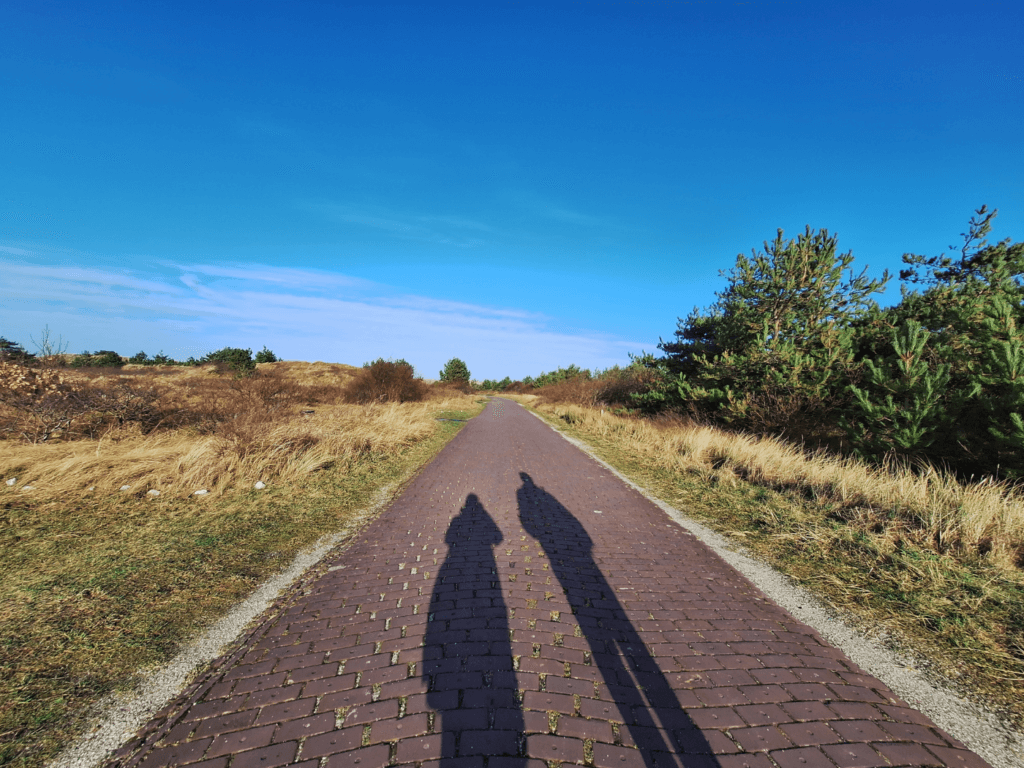
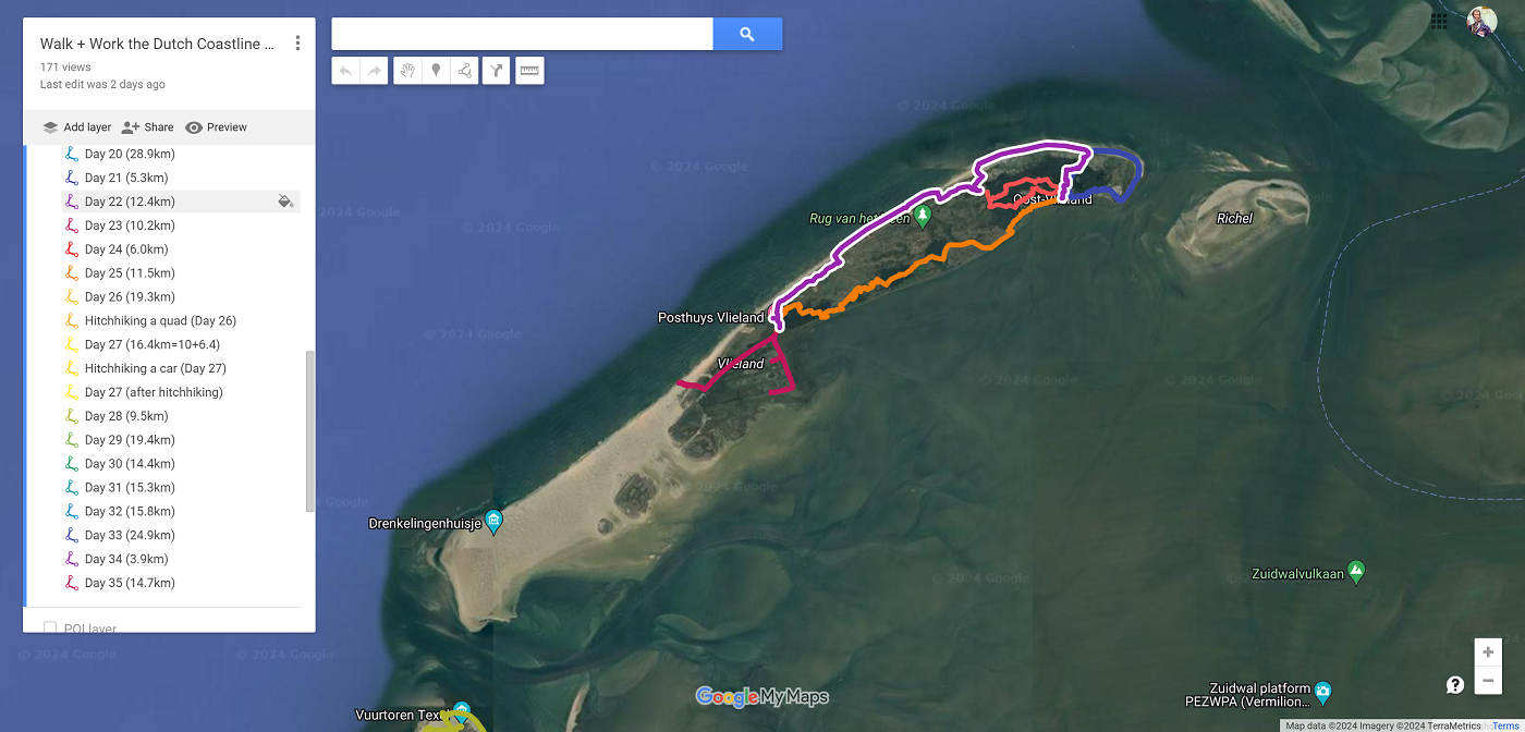
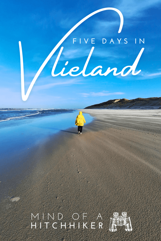
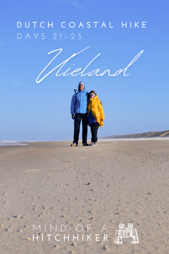
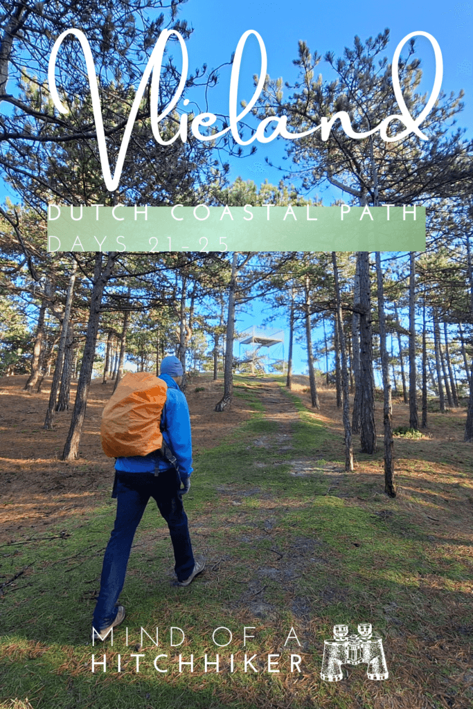
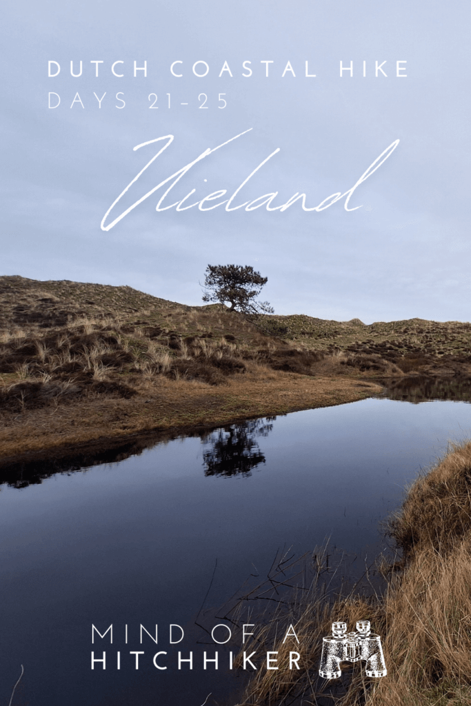
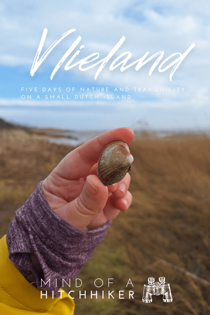
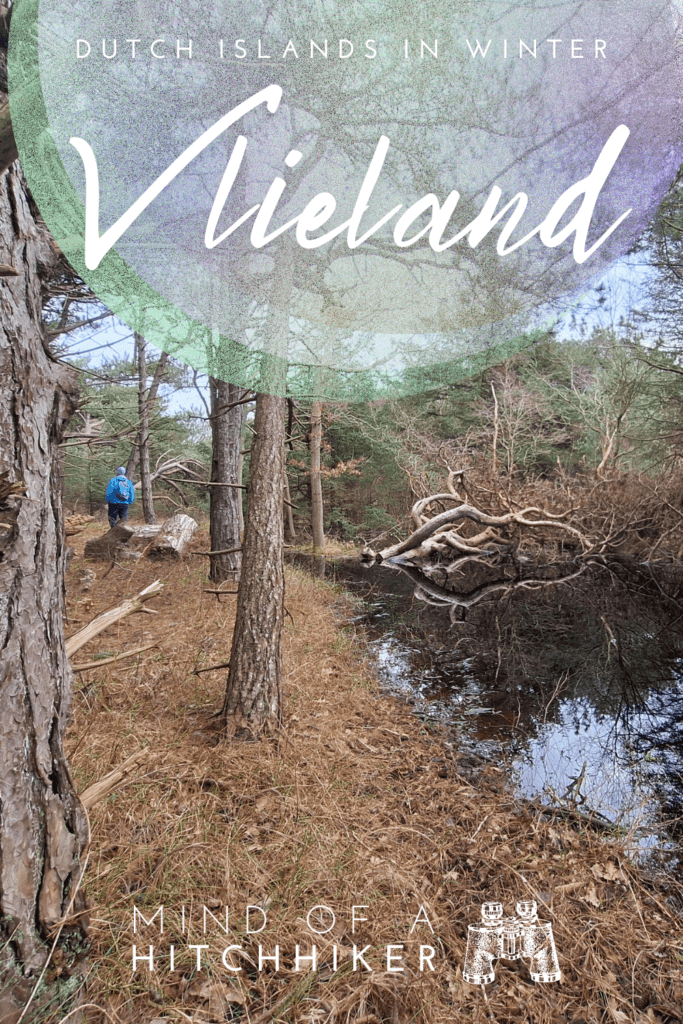
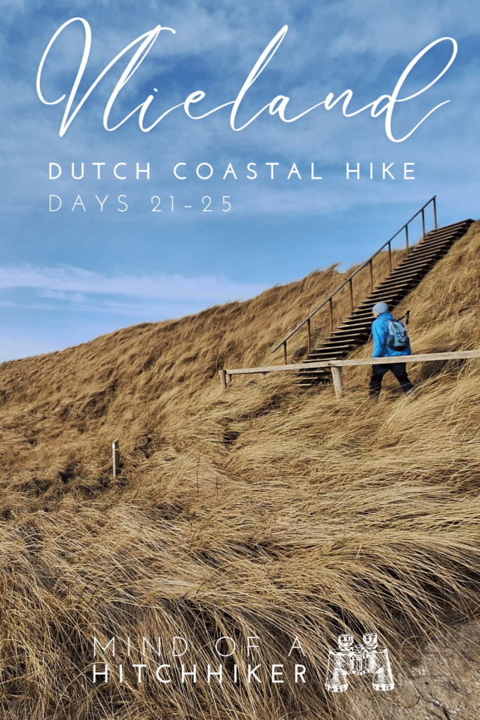
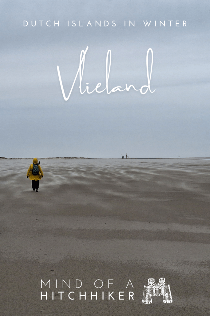
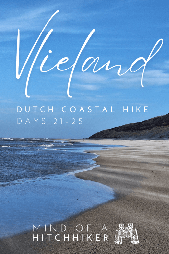
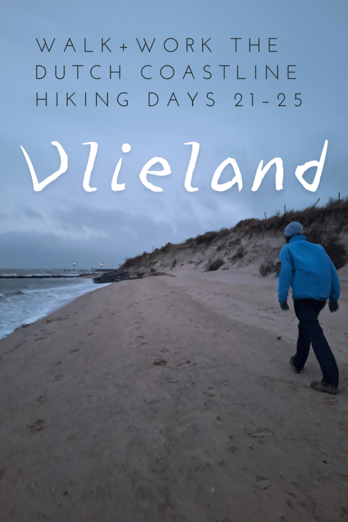
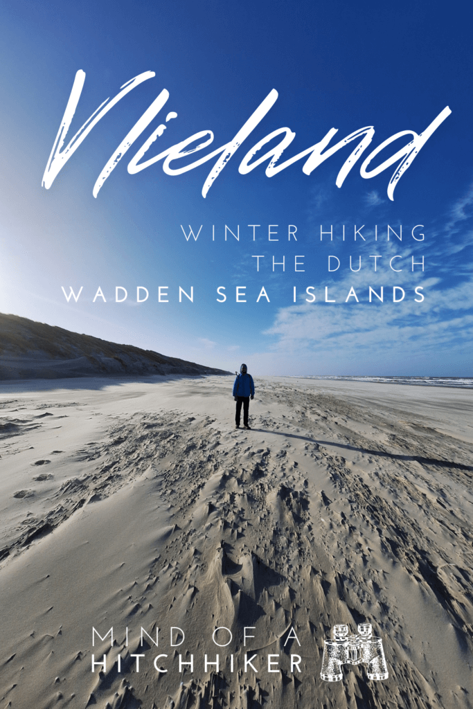
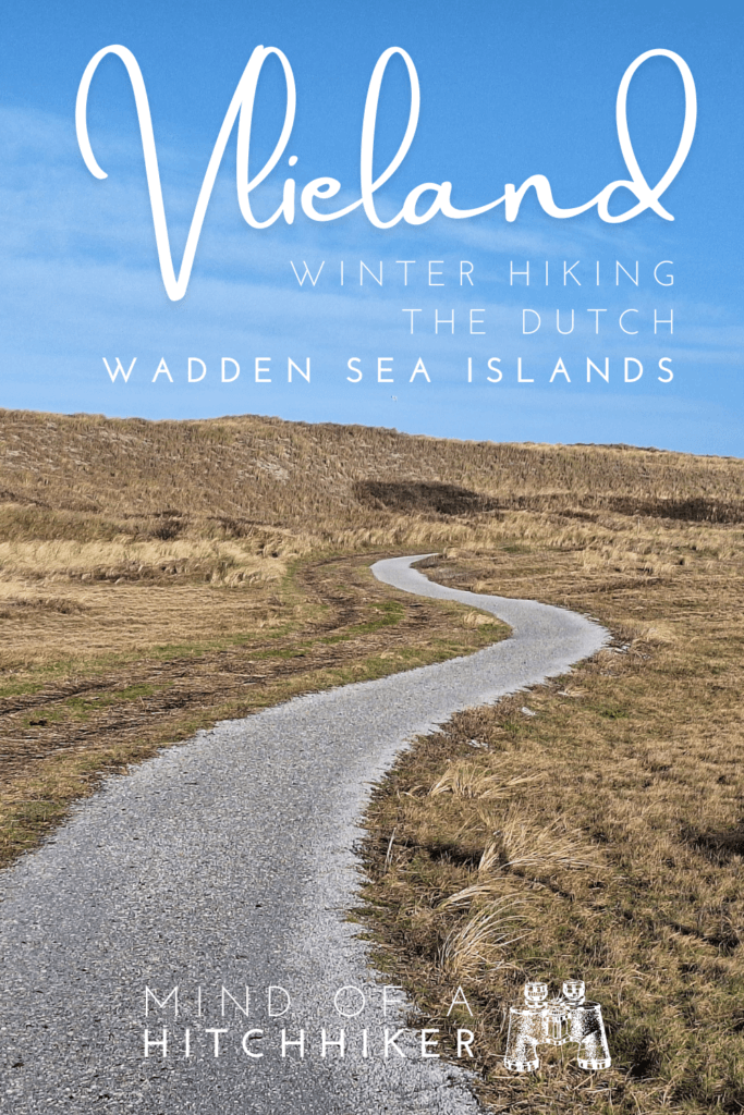
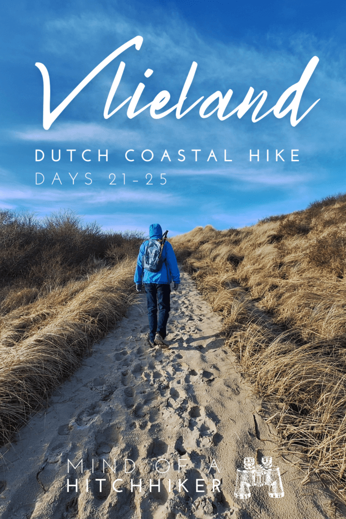
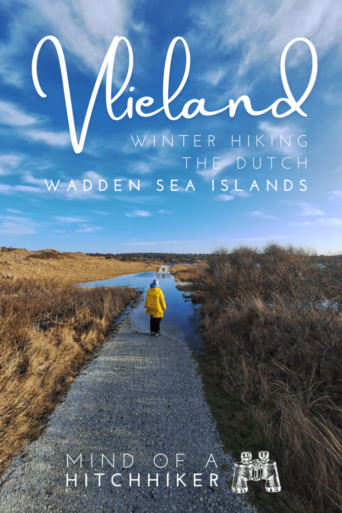
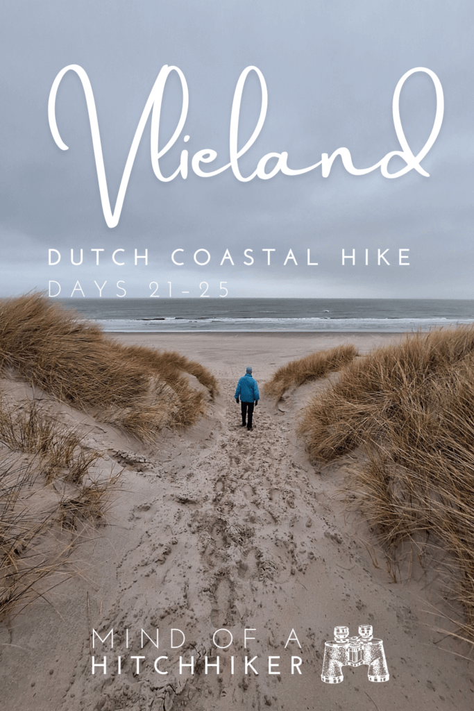
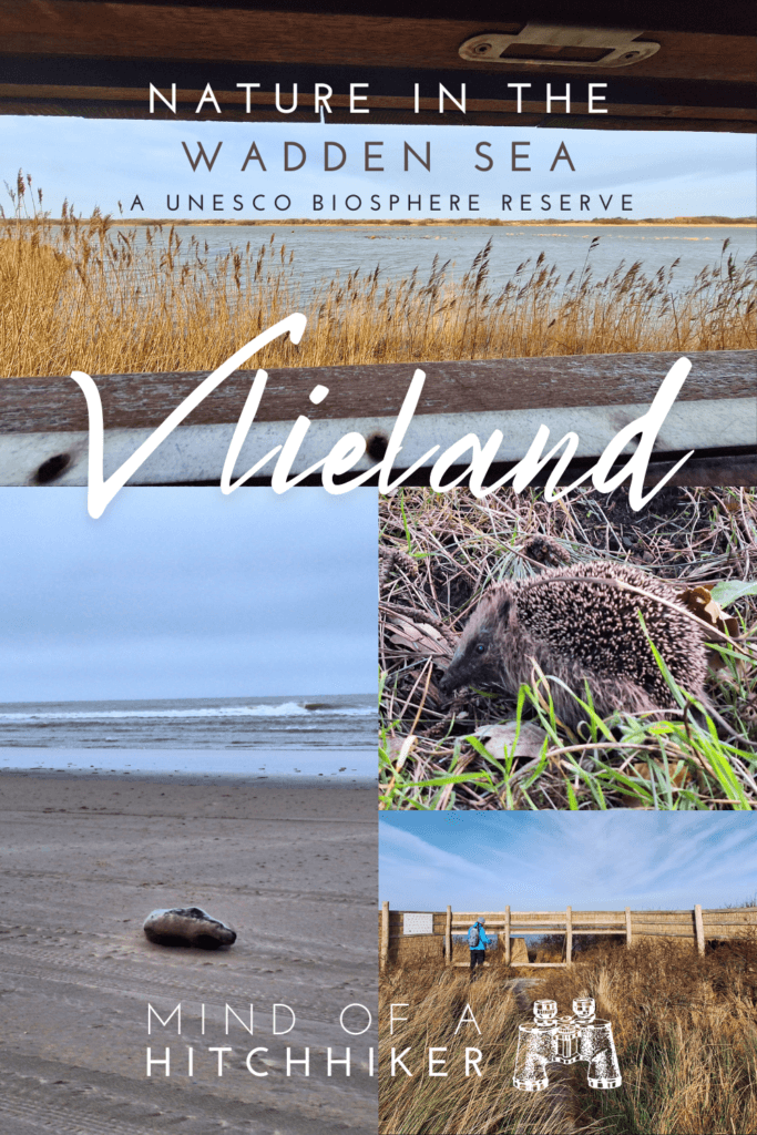
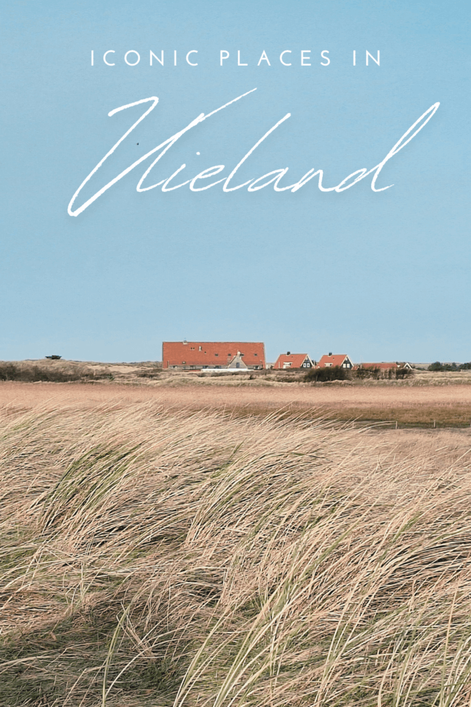
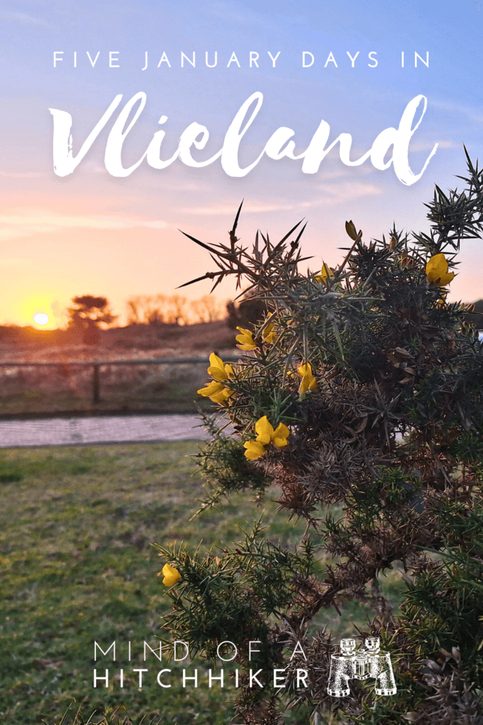
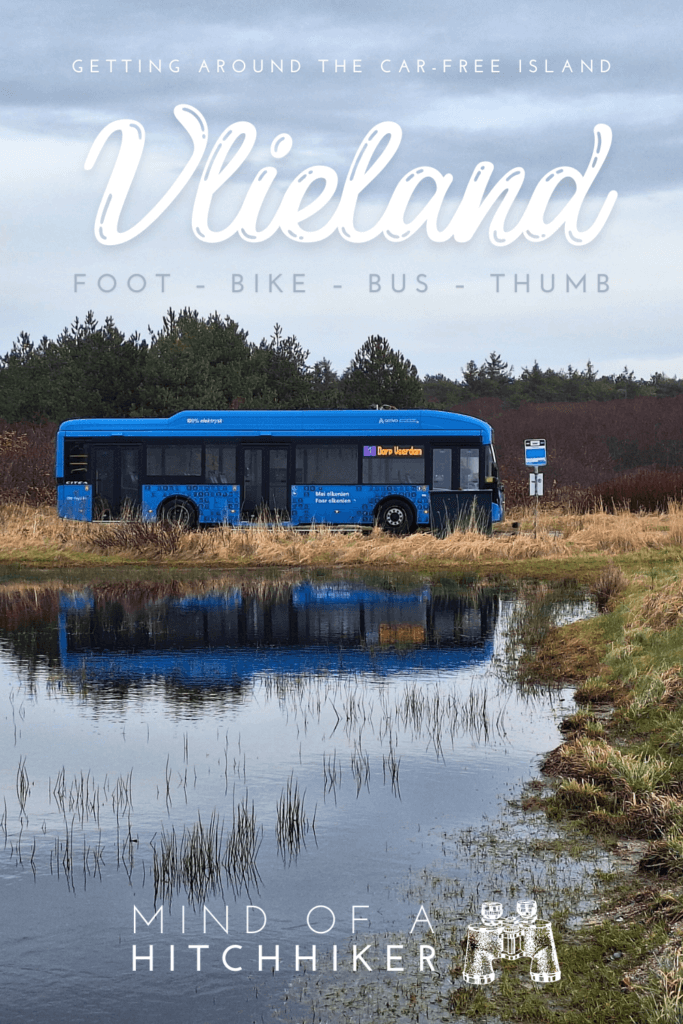
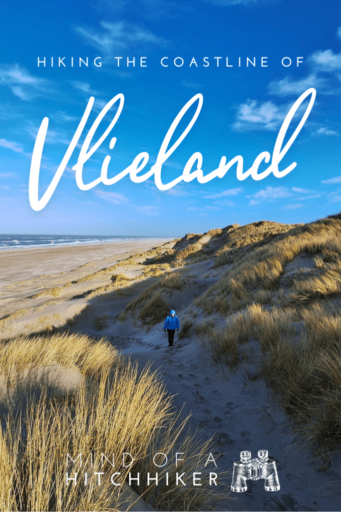
We stayed on the carfree island of Vlieland from the 21st till the 26th of January, 2024. As part of the Walk + Work Dutch Coastline Hike, we stayed here and walked a section of the coast every day. Since this is a continuation of the original Walk + Work trip, the hiking days count up, starting at 21.
Contents
- 1 1. Arriving in Vlieland (Day 21)
- 2 2. Walking the North Coast (Day 22)
- 3 3. Posthuys Krooonpolders Vliehors Military Base Loop (Day 23)
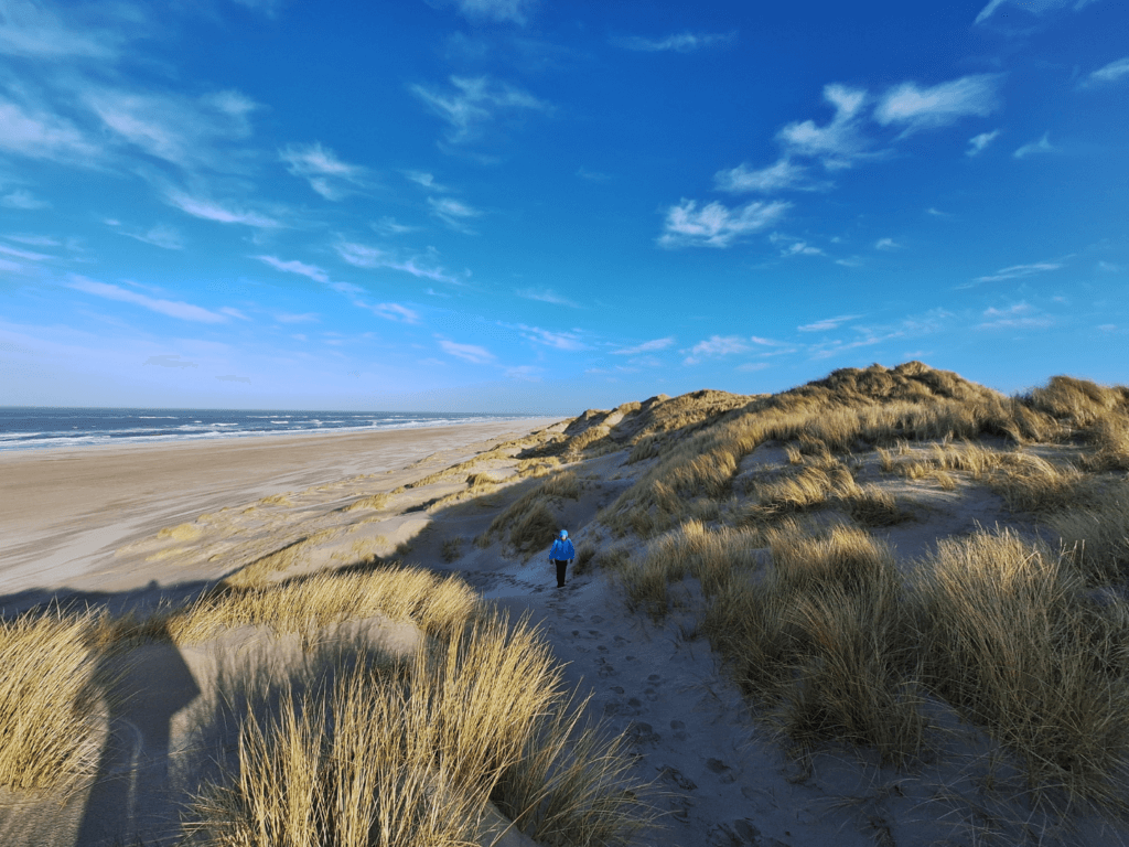
- 4 4. Oost-Vlieland Lighthouse Loop (Day 24)
- 5 5. Forest Hike (Day 25)
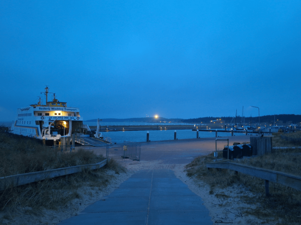
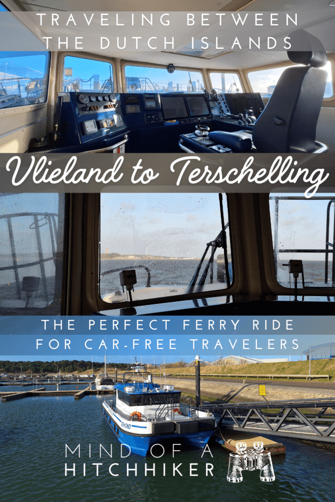
- 6 6. Ferry from Vlieland to Terschelling
- 7 Useful stuff? Consider buying me a craft beer!
- 8 Sharing is caring!
1. Arriving in Vlieland (Day 21)
21 January, 2024
Ferry ride to Vlieland
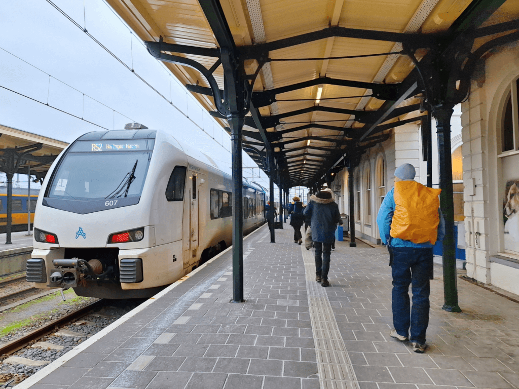
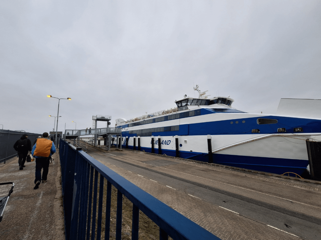
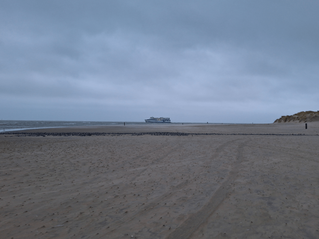
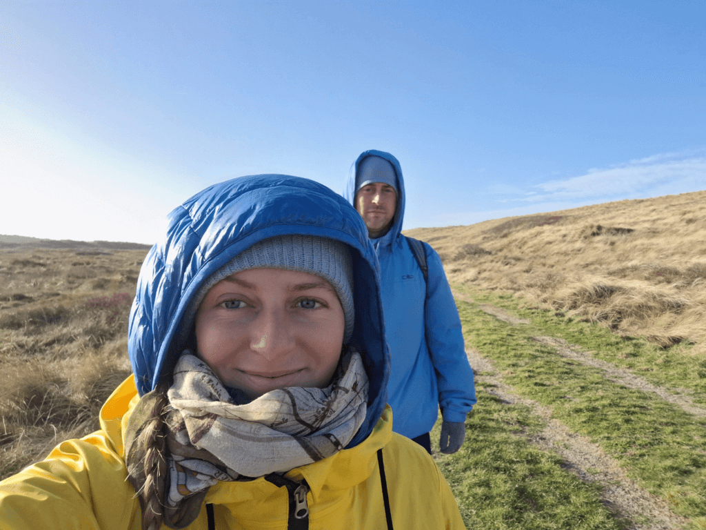
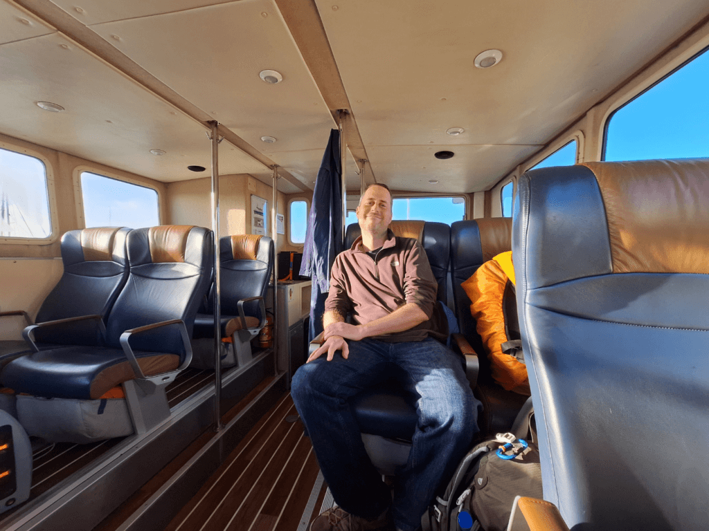
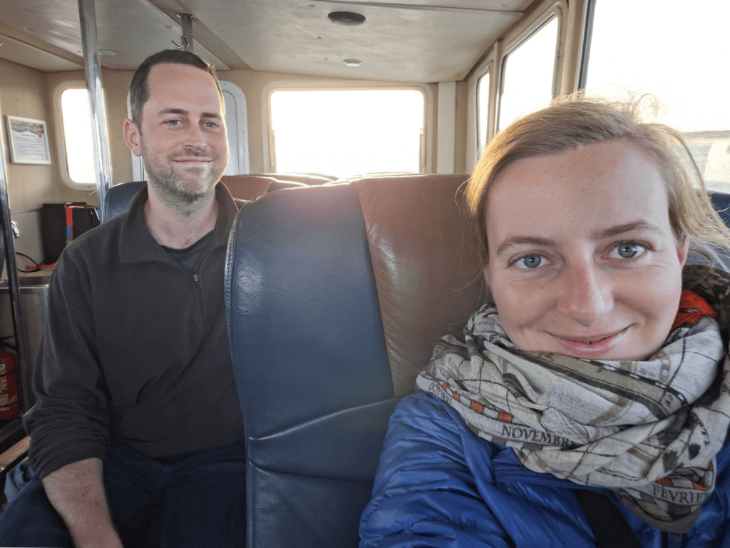
After visiting my family in the middle of the Netherlands for a week, Jonas and I departed to the country’s far north. My mom dropped us off at Hilversum train station, from where we had three trains to get to Harlingen Harbor. It had been snowing and freezing across the Netherlands the week prior. But at the Wadden Sea coast in Harlingen in Friesland Province, there was just a strong gusty wind that pierced its cold to the bones. We sought shelter in the ferry terminal. The ferry arrived and we boarded it with our pre-booked ticket. Jonas had taken some anti-seasickness pills an hour before departure, just in case.
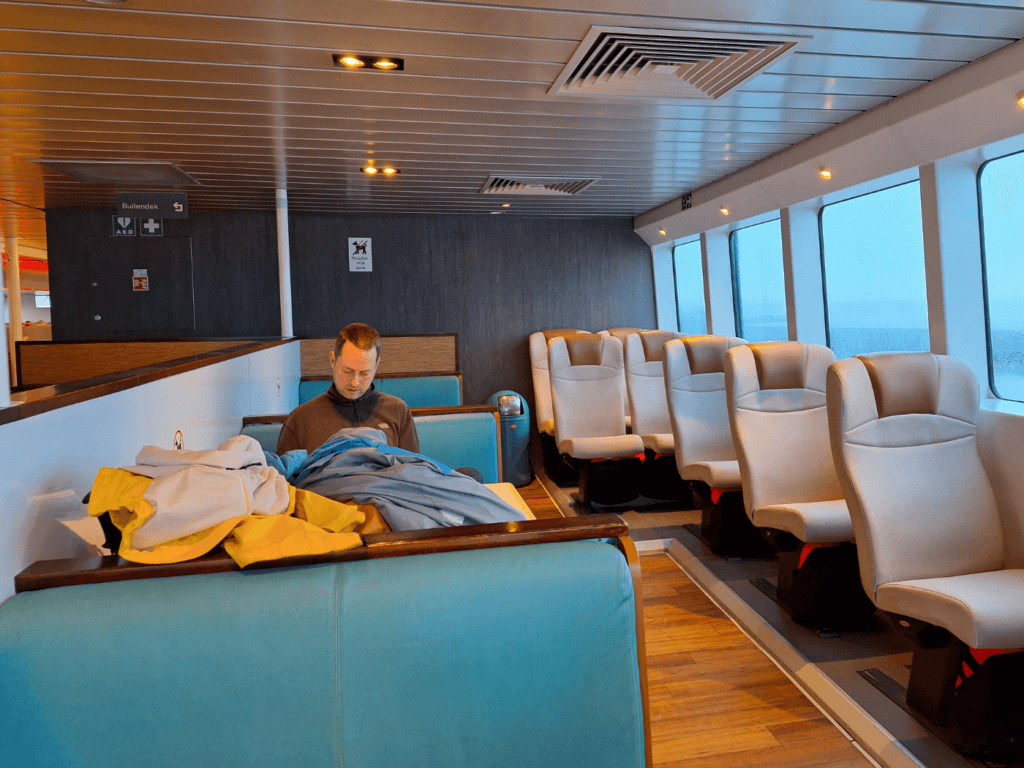
The ferry ride to Vlieland was comfortable. There’s a restaurant on board where we got a cup of tea. I often went on the top deck to admire the views of the Wadden Sea and spot the uninhabited islands/shoals called Griend and Richel. I could see beacons on Griend and not much else. Richel was mostly flat and sandy and without structures as far as I could see. The weather wasn’t the best for far-distance viewing; I missed the oil rig to the west and only spotted Terschelling because Jonas pointed it out.
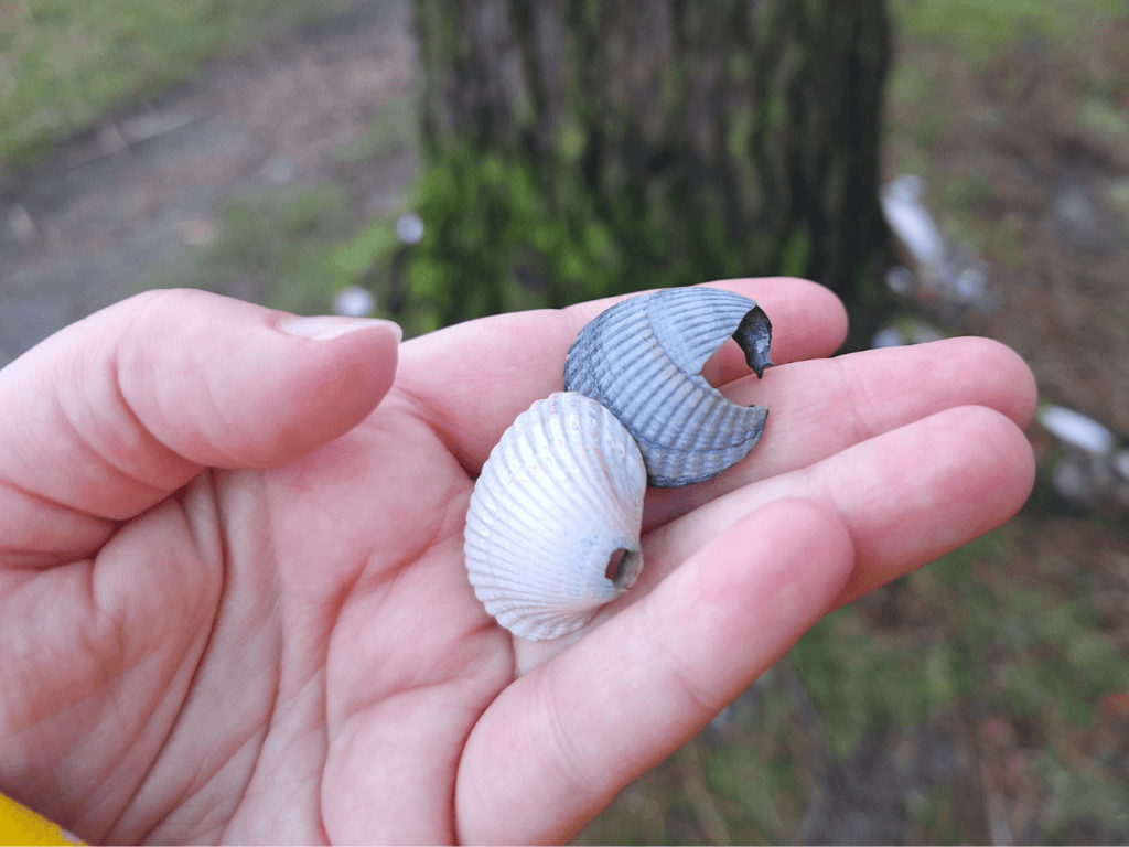
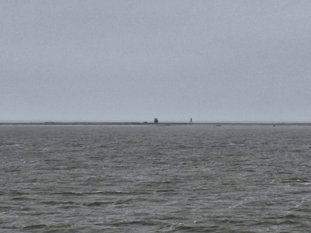 Griend
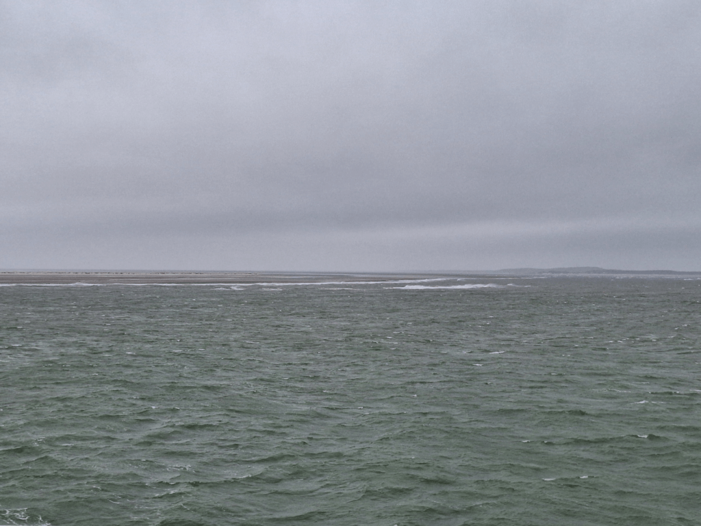 De Richel with Vlieland in the background
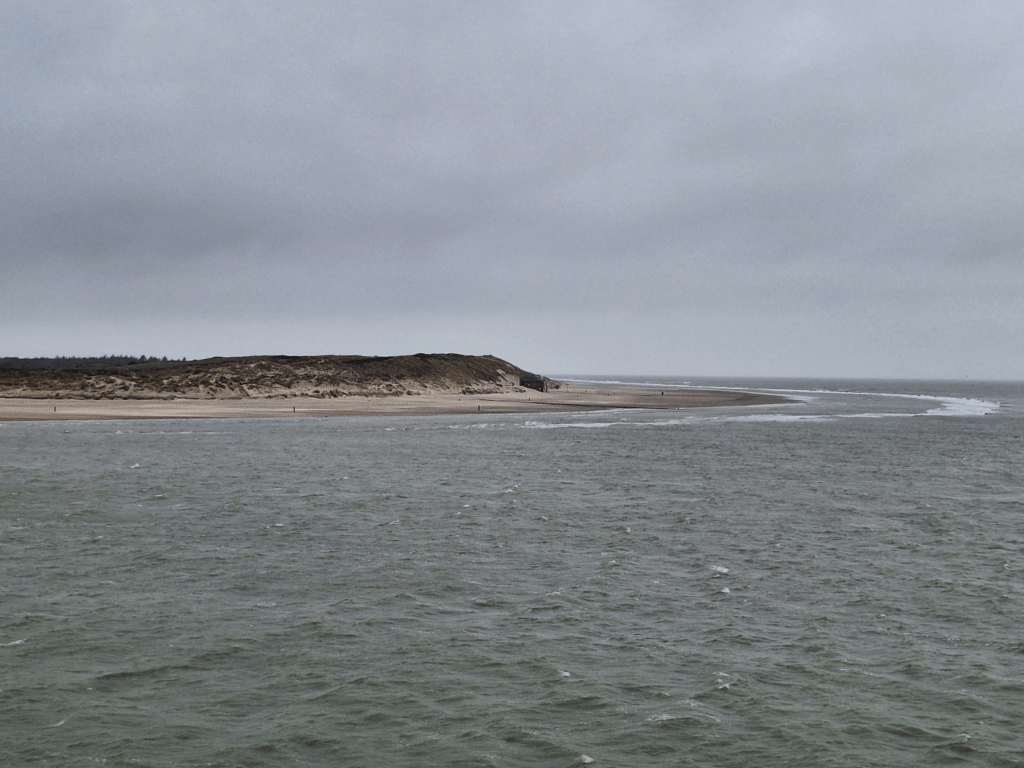 East coast of Vlieland
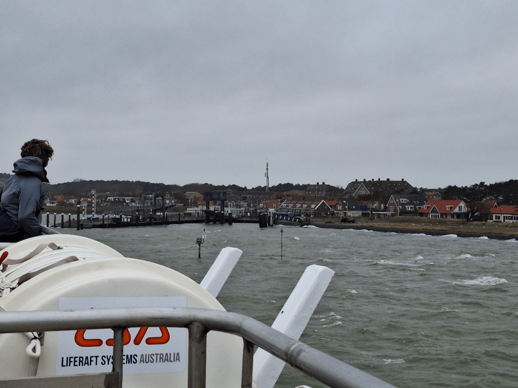
The shallow and tidal Wadden Sea proves difficult for navigation; our route to Vlieland isn’t a straight line, but it meanders between the tidal flats like a river—because it once was. Passing Richel via the east and north, the ship faced the waves of the North Sea. The ship started to sway in a way that made walking difficult. Luckily, Jonas’ stomach remained unbothered. This lasted for about 15 minutes, till we entered the leeward side of Vlieland. Our ship docked in no time.
Checking in to our Airbnb in Oost-Vlieland
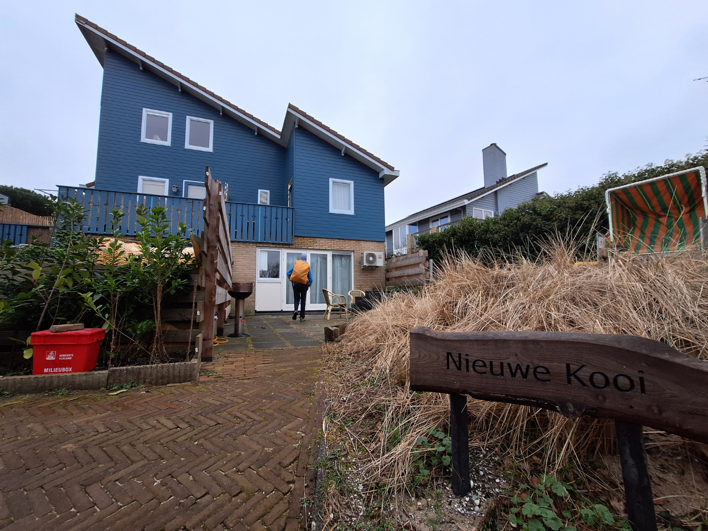
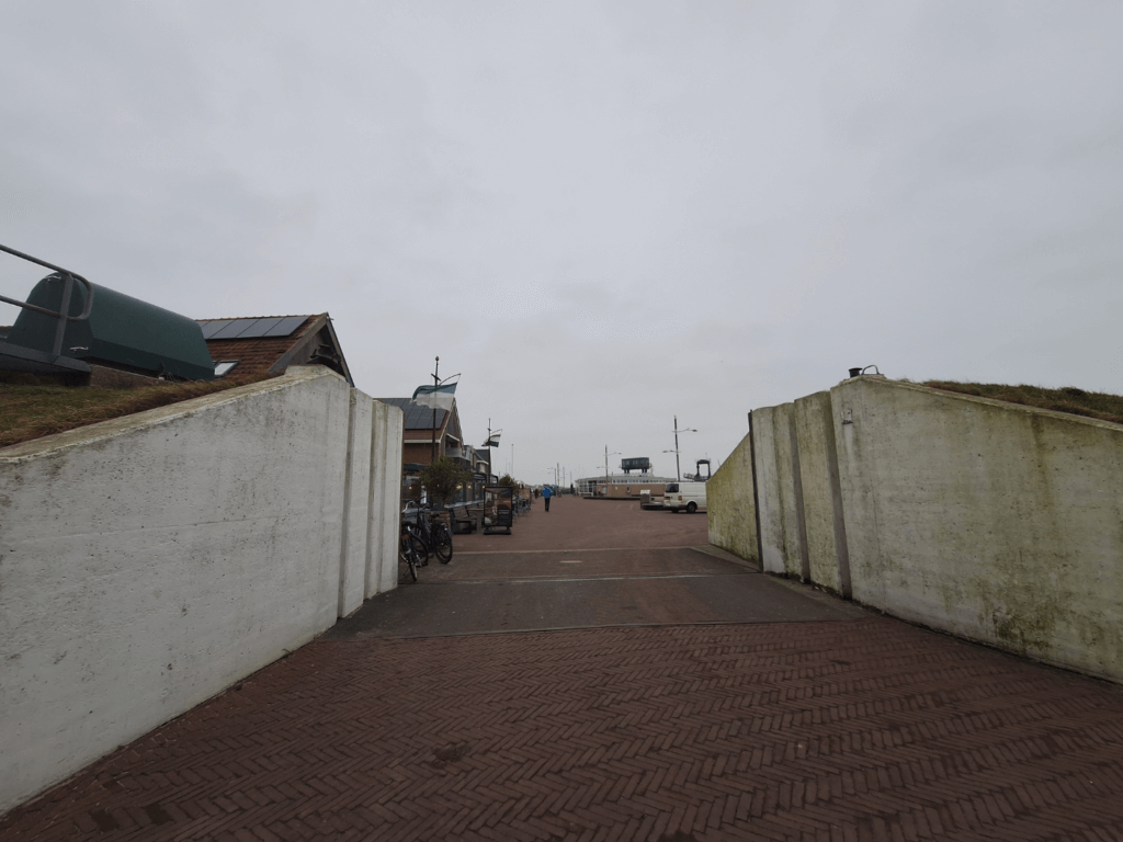
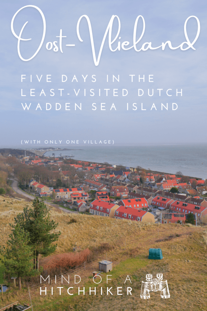
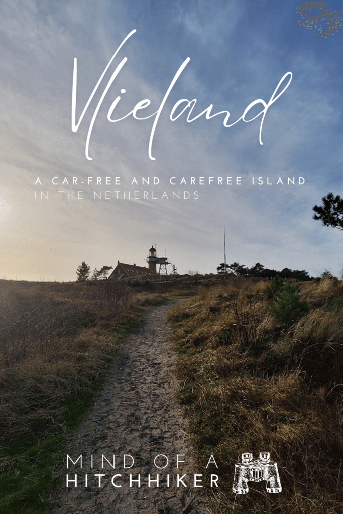
Walking off the ferry two hours before sunset, we immediately headed to our Airbnb in the only town in Vlieland: Oost-Vlieland. There used to be a thriving second town of 2500 people called West-Vlieland, but it was lost to the sea in the 18th century. As we walked from the jetty to the village past its defenses against the sea, a swarm of cyclists appeared to be acquiring bicycles or dropping them off at the nearest bike rental. How very Dutch of them. Vlieland is one of the two carfree islands of the Netherlands, the other one being Schiermonnikoog.
Jonas was disappointed that carfree didn’t mean truly carfree; there were many cars parked at private houses on our walk to our temporary home. I explained that the ban on cars only applies to non-residents of Vlieland and that many residents of the island work on the mainland, for which they might (think they) need a car. I think that banning non-residential cars solves half the problems for small islands. More about the cars on Vlieland later.
Our Airbnb was a downstairs unit in a big house. We managed to do the self-checkin. The plan was to drop off our stuff and immediately go for a beach hike since we only had five days to complete the coastline here to the best of our abilities (and as much as the local military allows).
Though it was small, it had everything we needed and even some small ‘luxuries’ for full-time travelers like us: a dishwasher. There was even a personalized welcome sign for Jonas and two small bottles of wine provided. As expected, it was nice and warm inside since the houses in the Netherlands meant for permanent habitation are built for the cold. This was a nice change to the accommodations in Cyprus and Greece we’d experienced just a few weeks prior. It was a Sunday and the supermarket was closed, so we’d brought food over that we put in the fridge. We immediately packed a day bag to head out and hike the Dutch coastline.
Hiking the Dutch Coastline Day 21: the Easternmost point of Vlieland
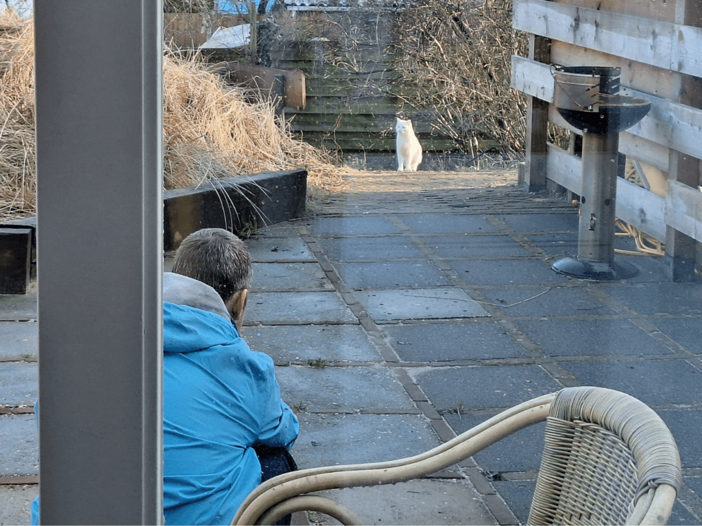
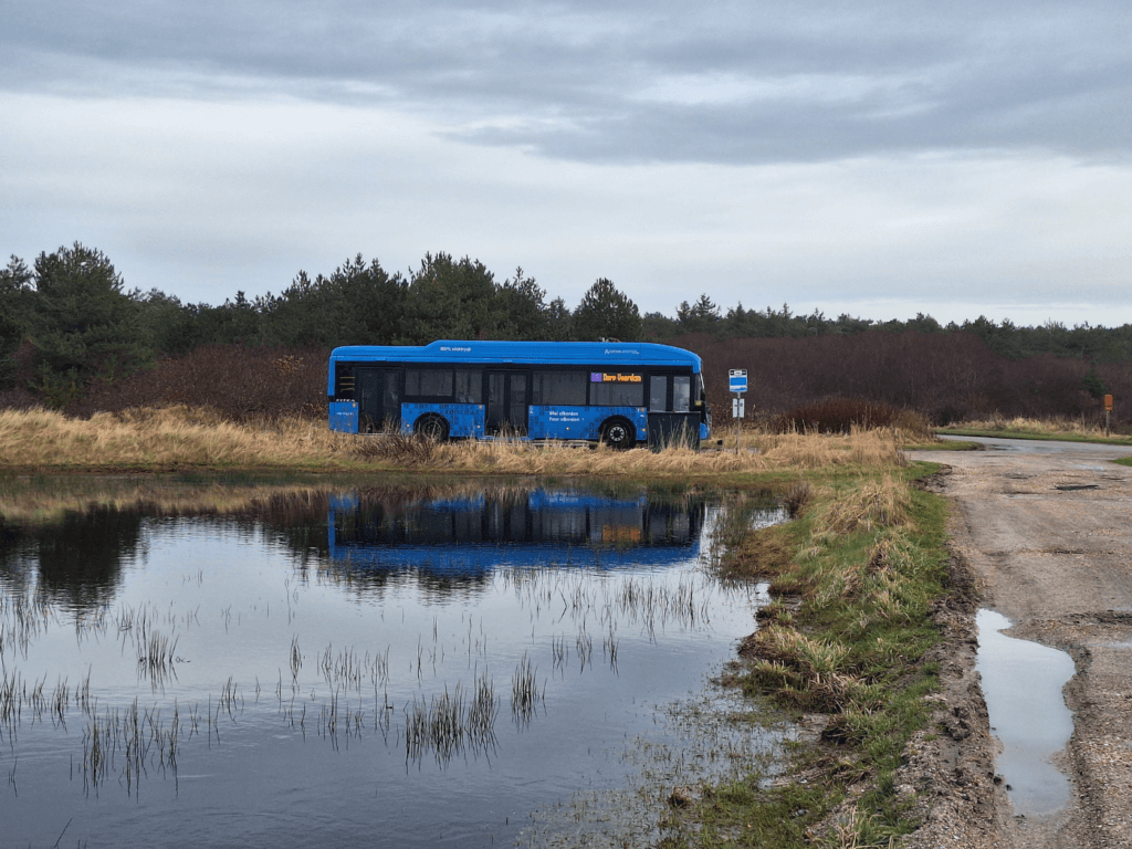
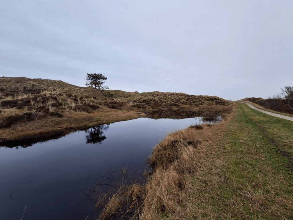
I’d mapped potential hiking routes and shared GPX files with Jonas in the week we were at my mom’s. One was a small ~5km loop starting from our Airbnb and ending back up there. It first took us past more houses in our neighborhood. We spotted a cat that didn’t respond to our pspspsps. We walked past a flooded football field to an area that’s a rather large camping area in summer with facilities such as a supermarket, a few restaurants, a bus stop, and a post box. All of them are out of service till the end of March. This is travel in the low season (November – March) for the Dutch islands.
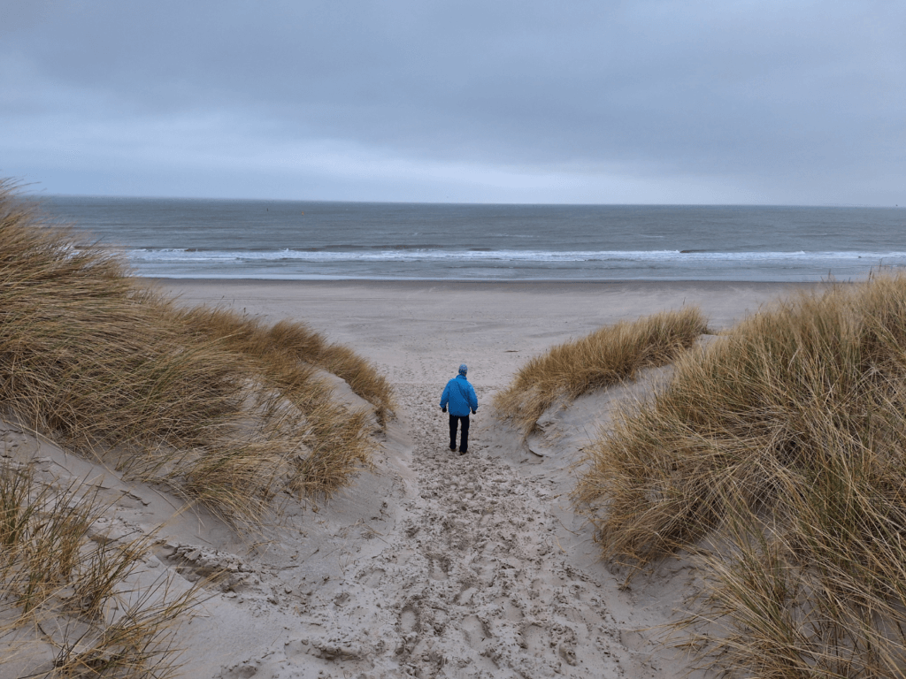
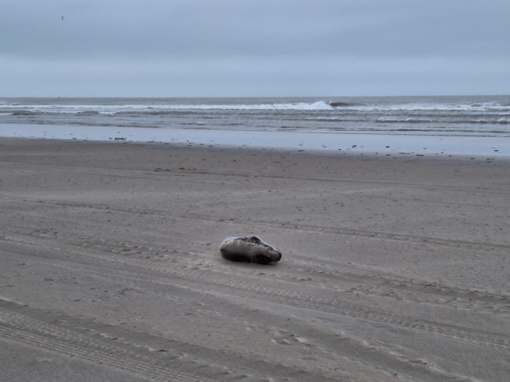
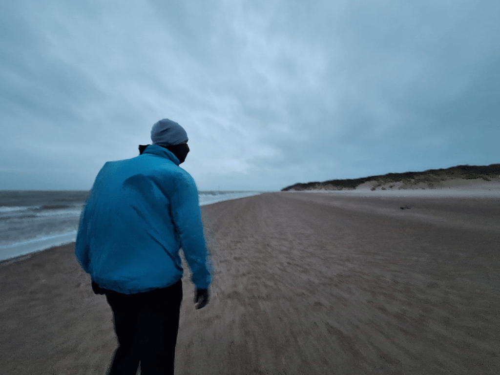
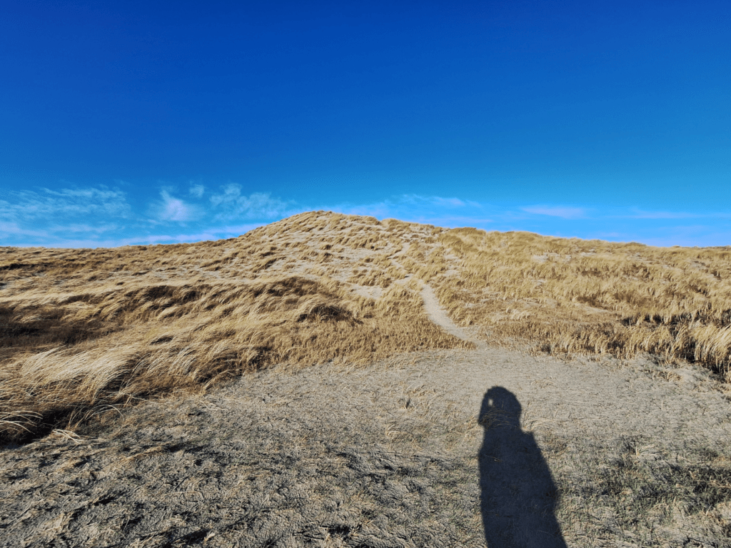
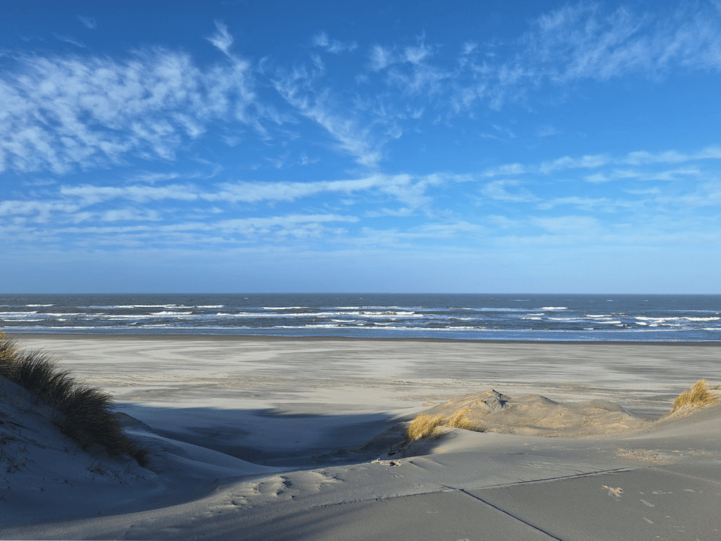
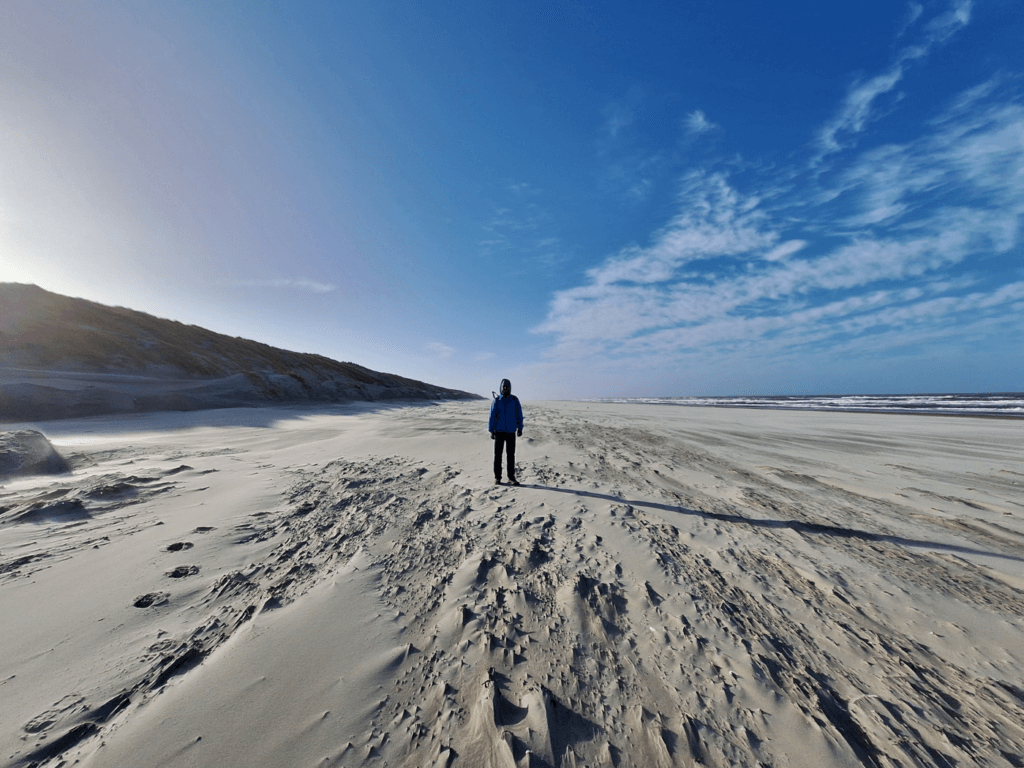
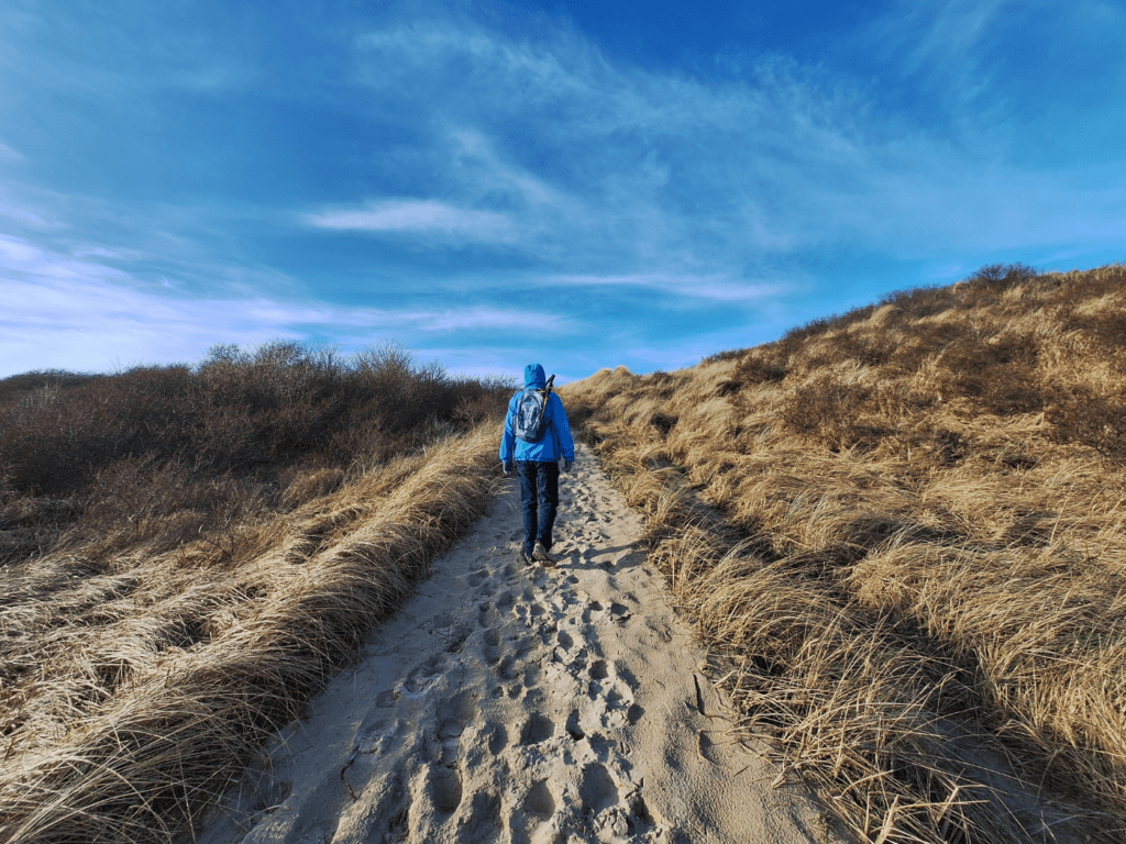
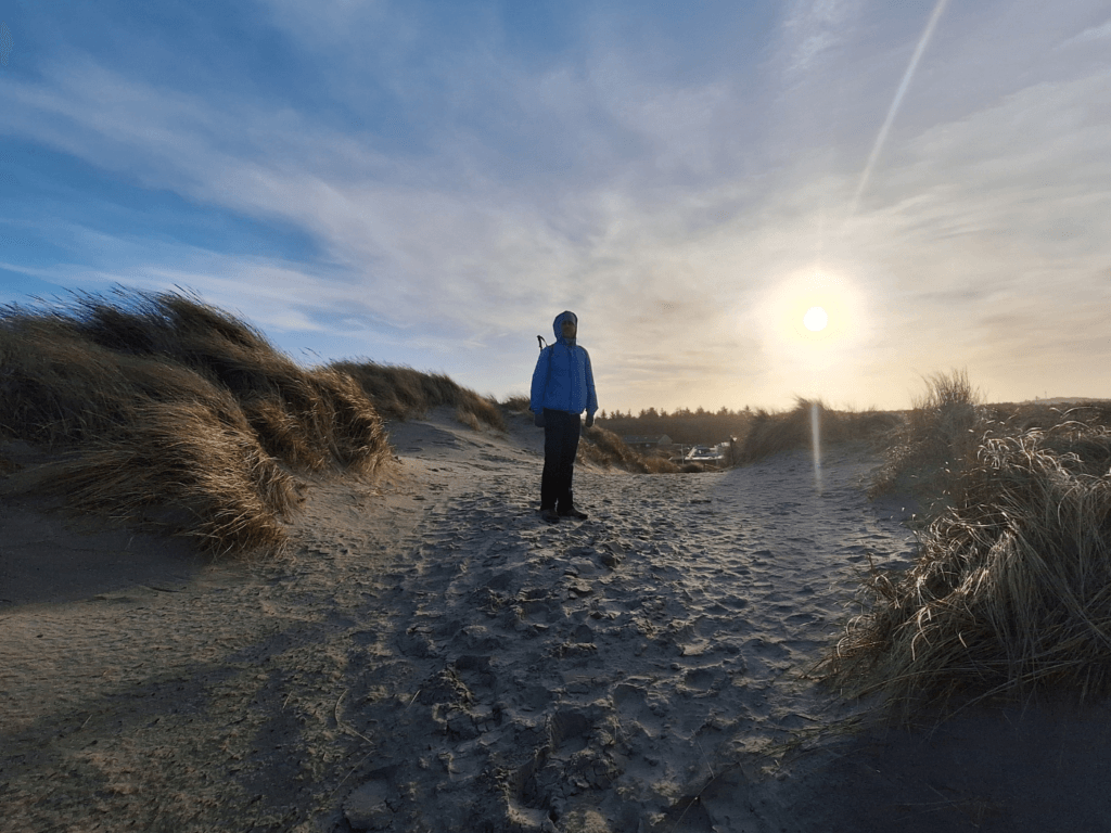
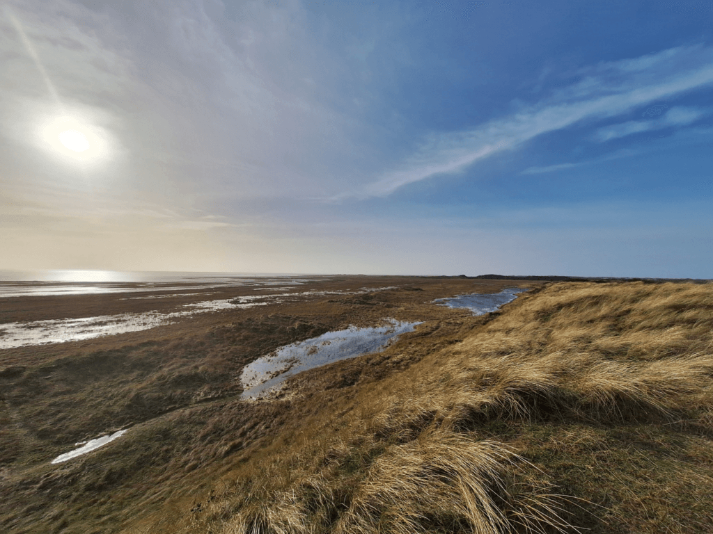
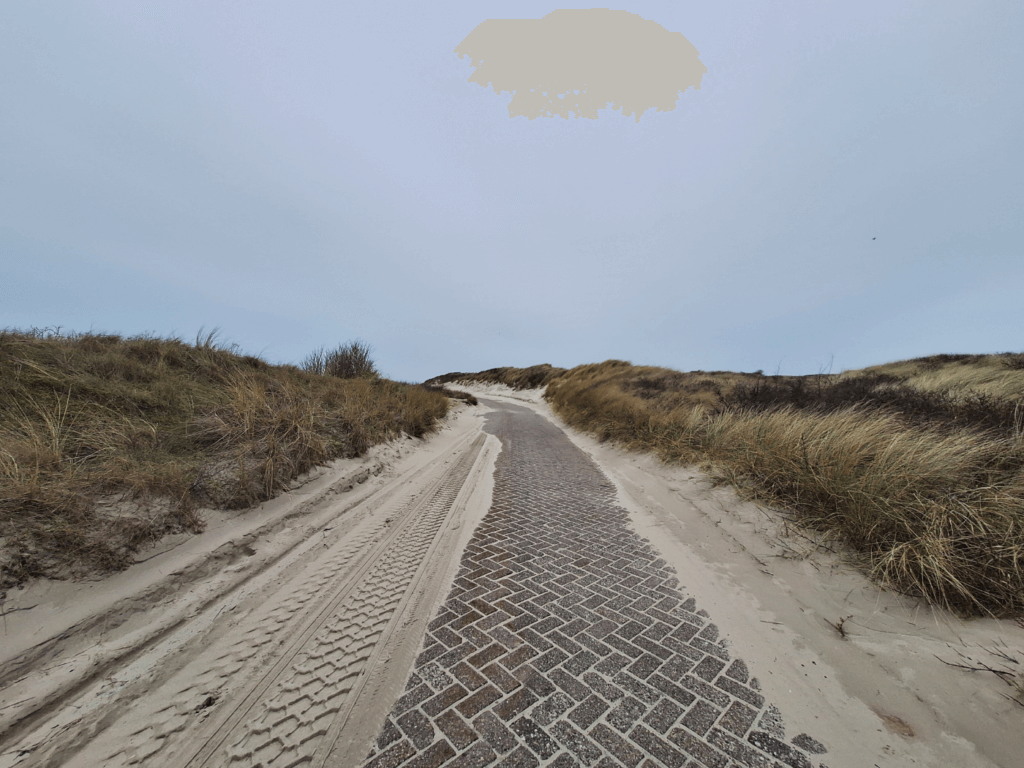
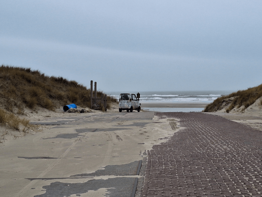
There’s a dune crossing here that we took to get onto the beach. With a strong wind from the southwest, the loose, dry sand blasted the side of our faces as we entered the beach. We turned away from the wind and had it very strongly in the back for one (1) glorious kilometer. We also met a seal on land that had probably sought shelter from the rough seas.
My mom had warned me that a storm (Isha/Iris) was headed to the Netherlands from the UK. The Wadden Sea Islands received a code orange for the night of the 21st to 22nd of January. We were experiencing the start of the storm passing over.
As we changed direction on the beach toward the southeast, south, and southwest, we experienced a strong headwind. I put on my old kiddie ski goggles that I’d mostly brought over as a joke to prevent the sand from scraping my eyeballs. Jonas put his buff over his eyes as he used to do last year as well. His eyes are quite a bit higher off the ground, so this countermeasure was enough for him to keep the use of his eyes.
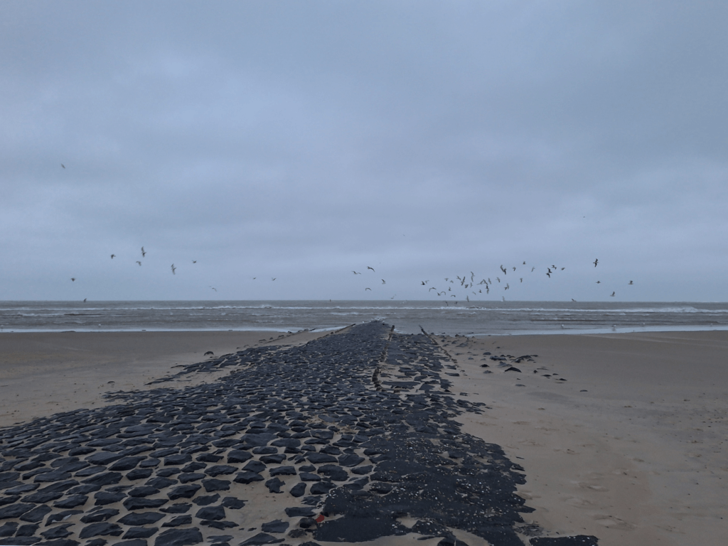
It was honestly a bit scary to think that one ill-timed gust could probably sweep me off my feet and maybe even into the sea. We trodded against the wind, measuring our progress by the number of basalt beach erosion structures we crossed. At times I trailed behind and would catch up with Jonas by walking in his wind shadow, which caused eddies of – to me – unpredictable winds. This forceful wind made it hard to breathe at times. I’d take short breaks to turn my back to the wind and feel my lungs voluntarily take in the air.
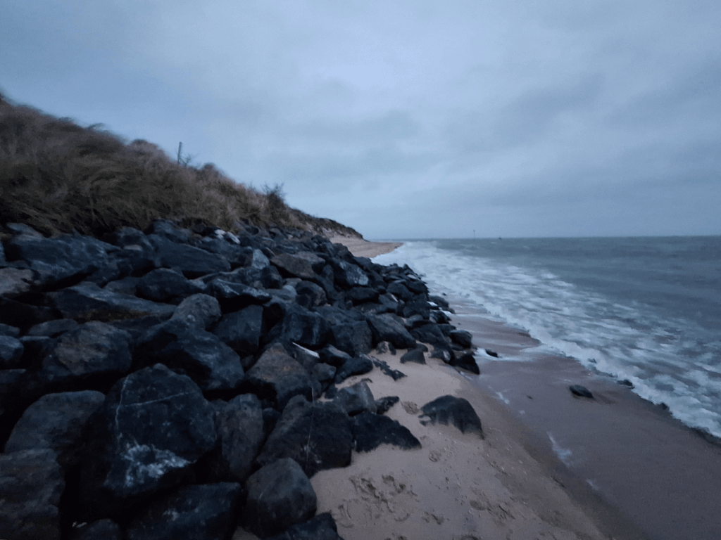 The rocks we had to climb over to not get our feet wet
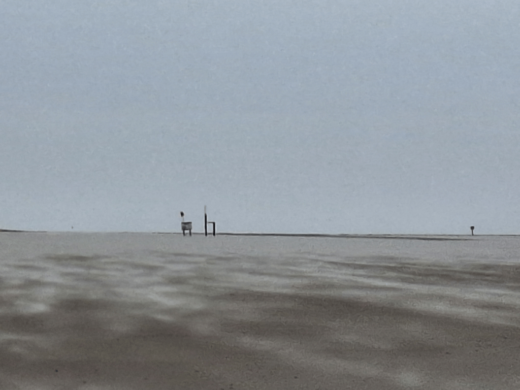
At the end of the beach near the small guest harbor, I knew there was a ramp to get over the dunes and into town. I’d seen people walk over this from the beach just 90 minutes earlier from the ferry. The wind died down in this area as the beach got narrower. There were more basalt stones here, but no way to get past them without getting our feet wet or climbing over them. The high tide had apparently come and we’d failed to look up today’s tide chart before heading out. Climbing over them wasn’t too difficult, though, and behind it was the pleasant infrastructure of the guest harbor.
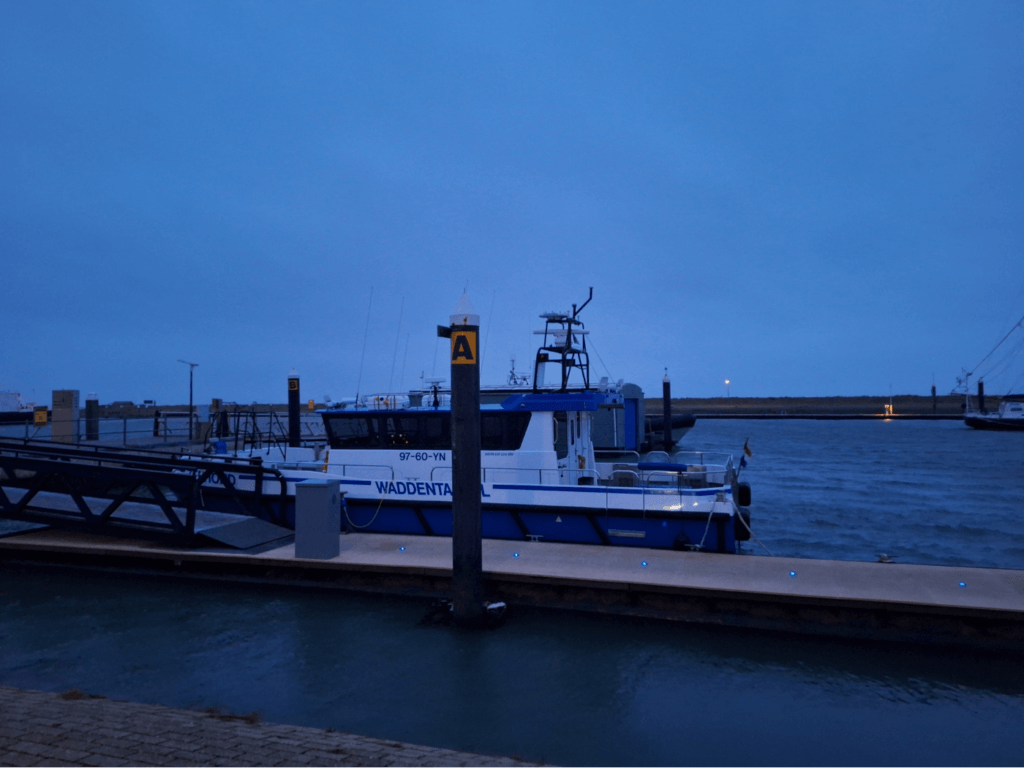
We could see Vlieland’s lighthouse flashing lights as we crossed over the dune. The wind wasn’t strong here and I knew we were safe. Sun was setting and we still had a little over one kilometer to walk before we were back home. In the guest harbor, we also spotted our way out of Vlieland: the small foot passenger ferry between Vlieland and Terschelling called Zeehond.
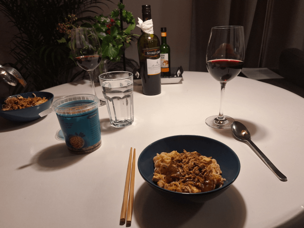
We walked past a lookout tower in the forest as the sun set. I got my flashlight out of the backpack and illuminated the elective forest trail. Jonas didn’t like walking here in darkness very much, so we headed back to the main road at the earliest opportunity. We were back at our home a little after 17:30 and desanded our shoes before heading into the cozy house. We cooked tofu curry noodles with the stuff we’d brought over from my mom’s village and cracked open the bottle of red wine my grandma had given us.
2. Walking the North Coast (Day 22)
22 January, 2024
Vlieland Tourist Information, Bus to ‘t Posthuys
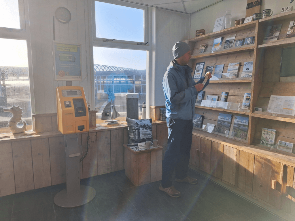
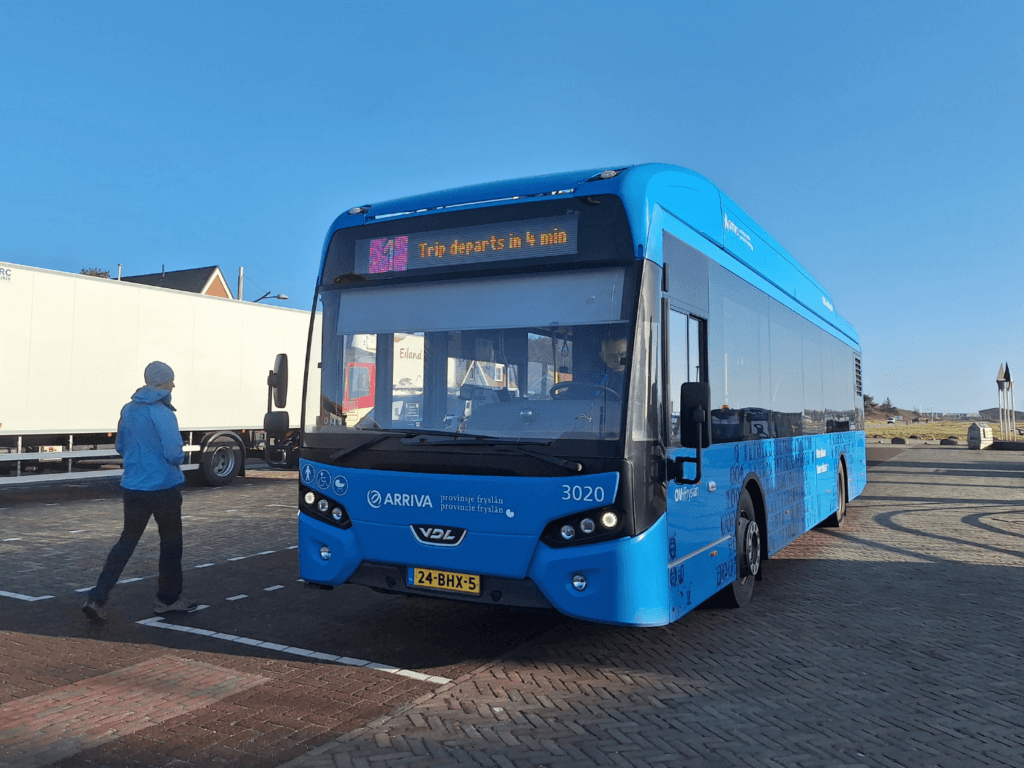
After some morning work and spotting (but not petting) an orange cat visitor to our garden, we heated and ate the leftover quiche from Grandma’s birthday before heading out for today’s hike. It was a beautiful sunny day with a lot of wind. We first stopped at the tourist information (VVV) in Oost-Vlieland. We asked for information about the weekly Vlieland bus ticket, but she referred us to the bus itself. As it was cozy inside the VVV, we waited inside till the bus showed up across the street. We got into the bus, but the driver was grumpy, so we didn’t ask him about the bus ticket. Contrary to our expectations, it was also possible to check into the bus with the OV Chipkaart. Good to know.
The bus took a very convoluted route through the village of Oost-Vlieland. We visited all the chalet and hotel areas in the north before driving toward the Posthuys—the western terminus of the bus. We arrived five minutes earlier than anticipated.
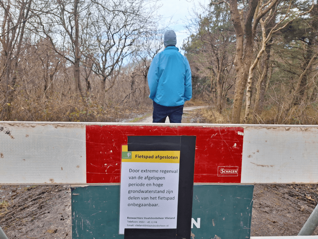
Flooded Trails, Crossing the Dunes
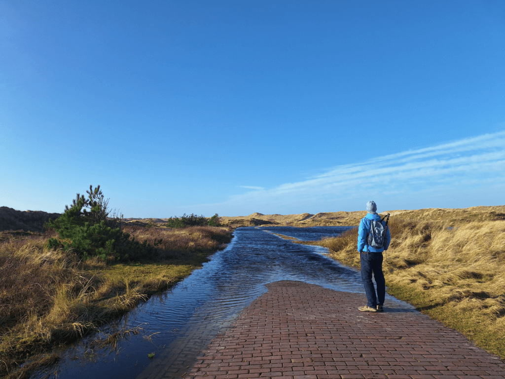
With sunset at 17:00, we had five hours to complete today’s hike and visit the Spar supermarket at the end. We started walking north towards the beach, intending to take a left at the fork, but quickly it showed that the path to the beach there was flooded. So we backtracked a bit and took a right at the fork to follow the seashell bike path that follows the coast of Vlieland but goes behind the dunes. It wasn’t too windy here, but it was a tailwind either way. Jonas noticed something was off with his shoe, so we made a short stop at a bench before continuing. I think his shoes are falling apart.
We continued on the bike path, contemplating to use one of the dune crossings to get to the beach. Google Maps had a bunch of them, but OSM said there weren’t any until the official dune crossing where the bike path meets a driveable service road. At one of the Google Maps crossings, we thought about climbing up the dune and descending onto the beach, but eventually voted against it because we’d probably have to step on some plants. We’d rather set a good example.
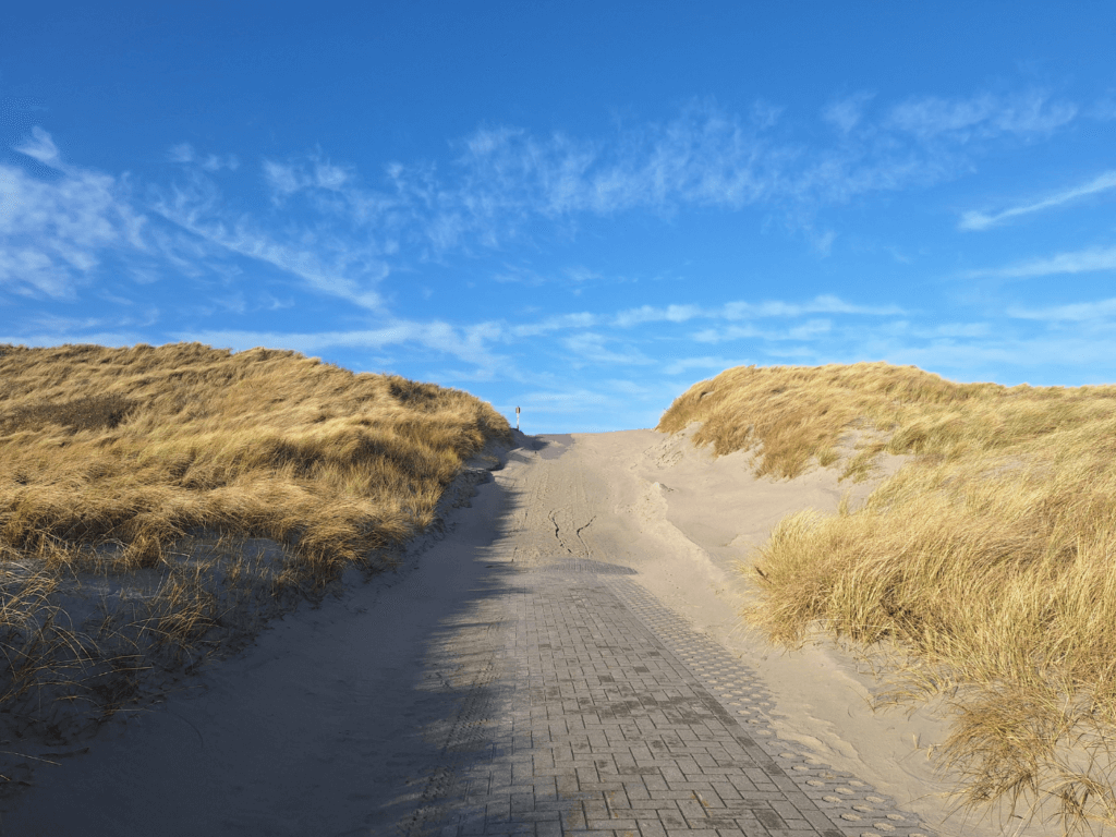
Despite walking on the bike path for a long time, we only encountered one cycling couple. They were biking hard against the wind, but probably had e-bikes to make it doable. Once it was time to cross the dunes at the official crossing, we had to prepare for the stronger wind and – inevitable – sandblasting. I grabbed my old ski goggles and Jonas pulled his buff over his eyeballs. The wind was coming straight from the west and some of the blowing sands hit us. On the way down to the beach, things calmed down and the sand blast happened a lot closer to the ground.
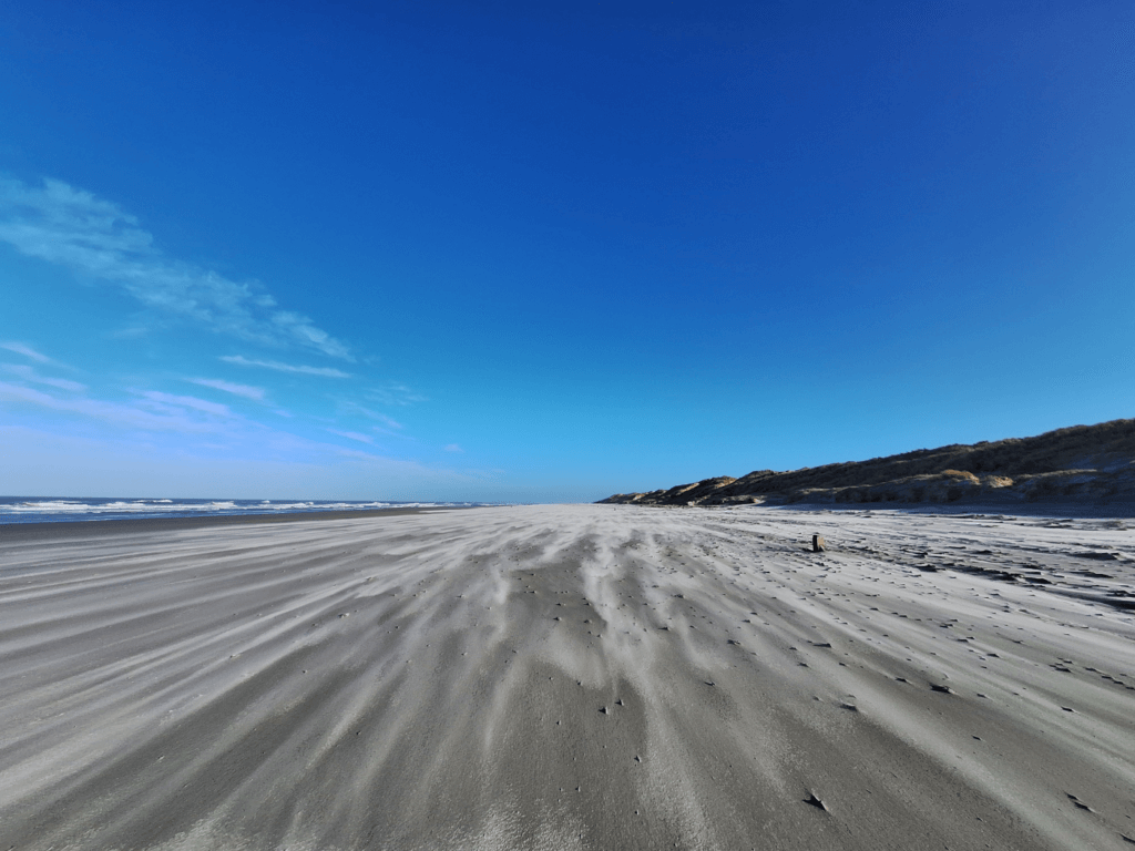
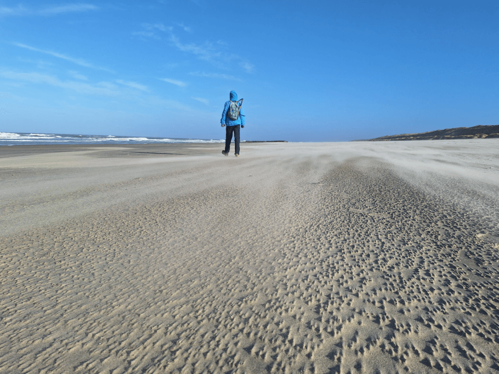
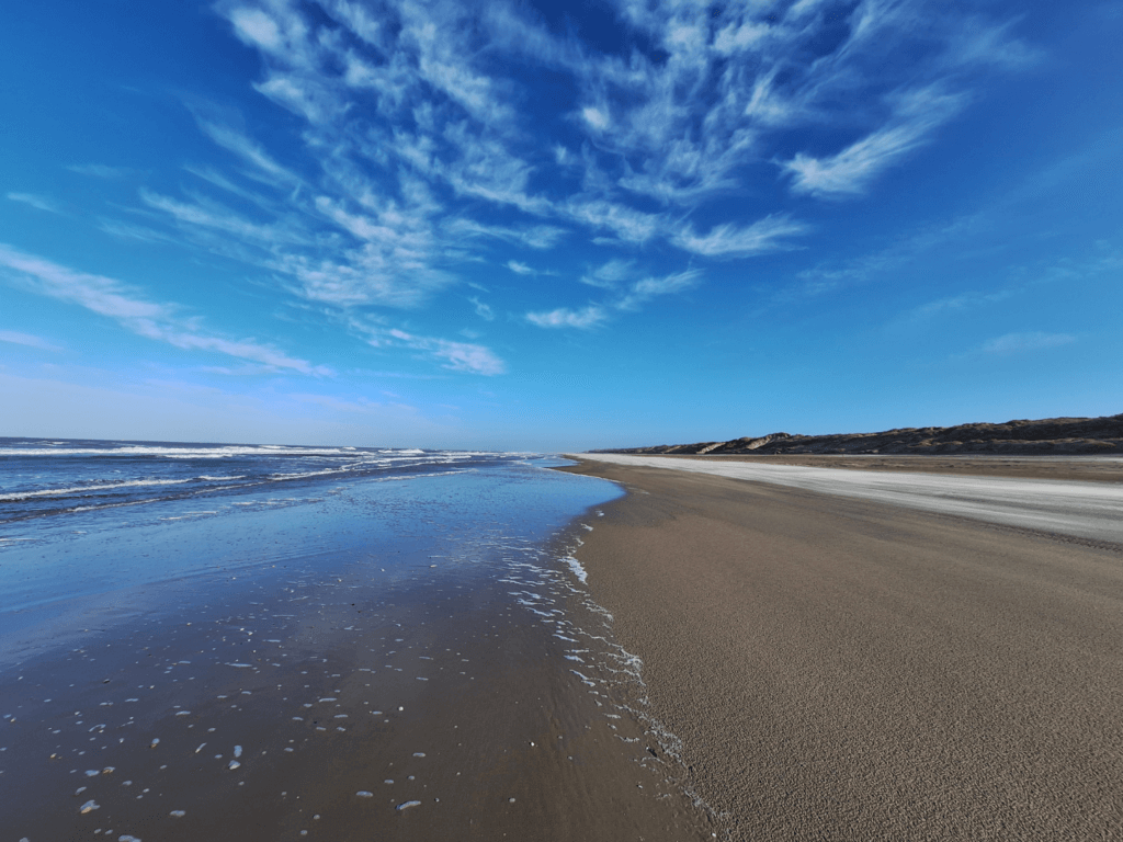
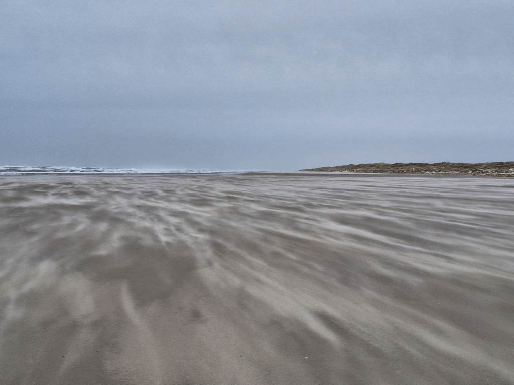
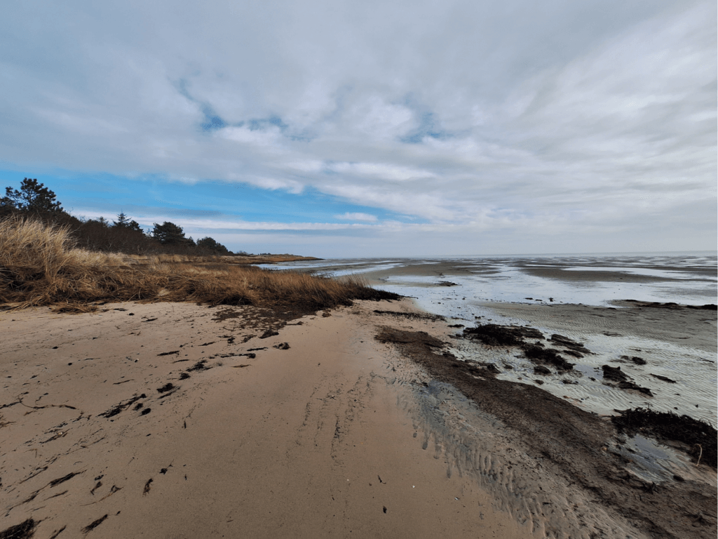
What an incredibly beautiful day! The streaks of silver sand on the darker wet sand created these awesome fleeting patterns. We took a bunch of nice photos and continued the walk to the east with that strong wind in the back. The wind helps us forget how fast or slow we are, as does the little context of the vast sea and dunes stretching out before and behind us. Every step we walk tells us very little as the landscape changes so gradually we can’t make sense of it.
In hindsight, we were much slower on this section than anticipated. At 13:37, we left the beach to go to the Bunkermuseum area of Vlieland. We knew in advance that it’s closed this time of year, except for on Wednesdays and the weekends. Still, we wanted to catch a glimpse of the bunker complex. We chose an exit mapped on Google Maps (satellite view) but not on OSM. I climbed up the dune first to check if the trail was real and then shouted down to Jonas that it was OK. To our surprise, the top of the dune had an official sign and trail markers for even more unmapped trails. One of them went over the dune ridge parallel to the shore, which we think is awesome but also it’s really bad for people to walk there.
Bike Paths, Bunkers, Ontbijtkoek, and More Beach
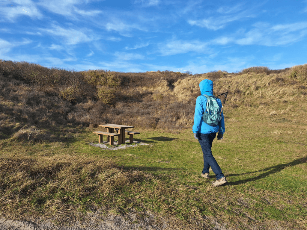
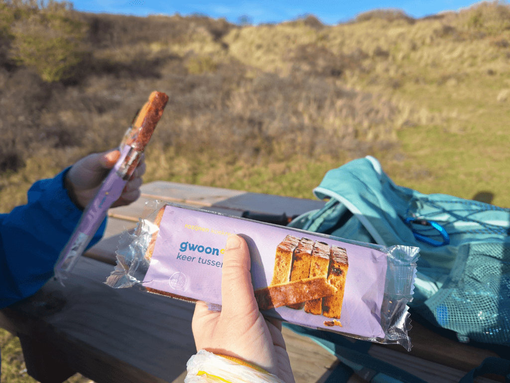
Once back on the seashell bike path, we headed to the mapped picnic table. We ate our vegan cabanossi sausage thing from Cyprus and a Dutch ontbijtkoek. After rehydrating a little, we headed to the grondwater meetpunt (groundwater measuring point). The trail there was once again partially flooded, but we found a workaround. But that workaround was also flooded, so we had to turn around. We headed to the closed Bunker Museum and read the information sign. Then we returned to the beach via an official dune crossing.
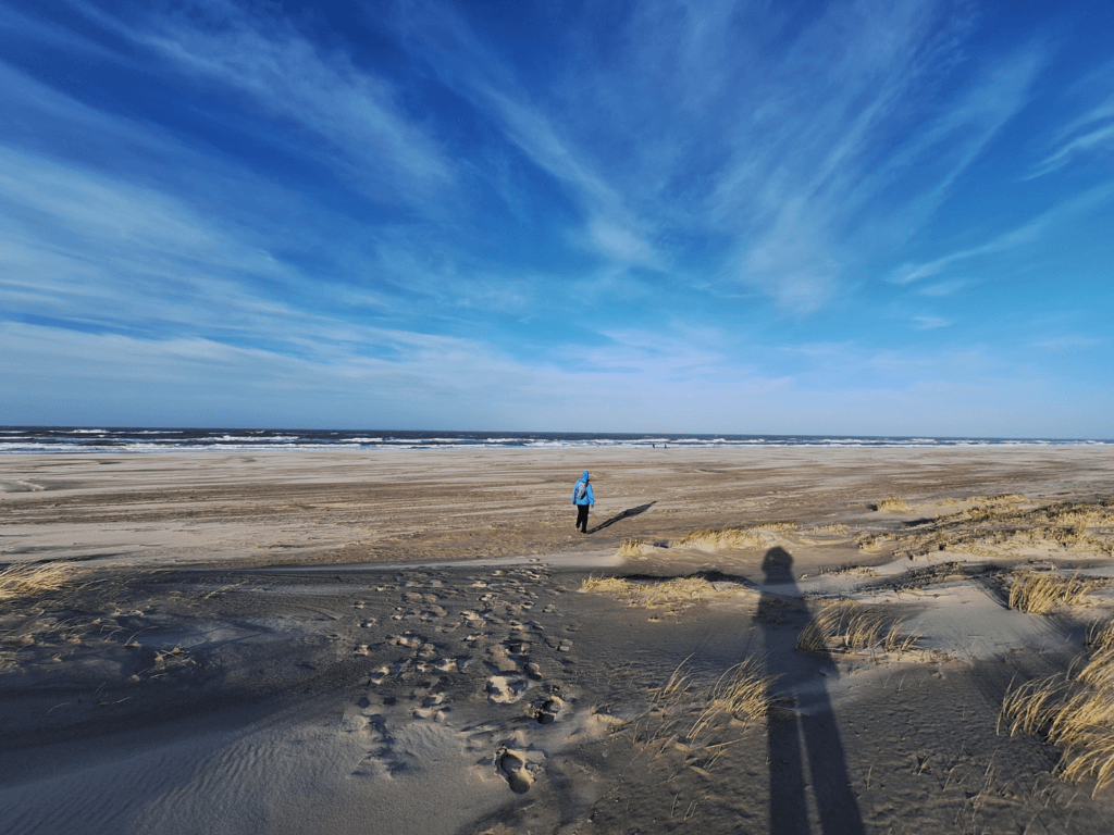
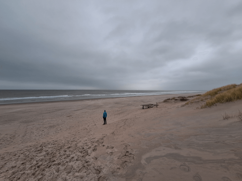
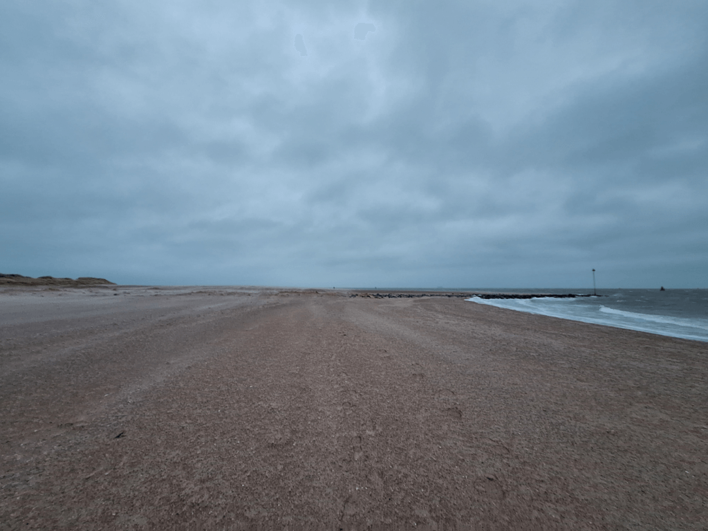
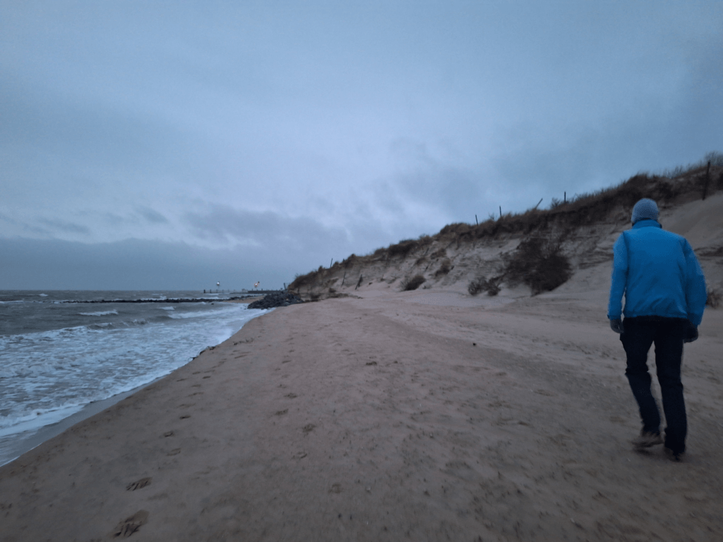
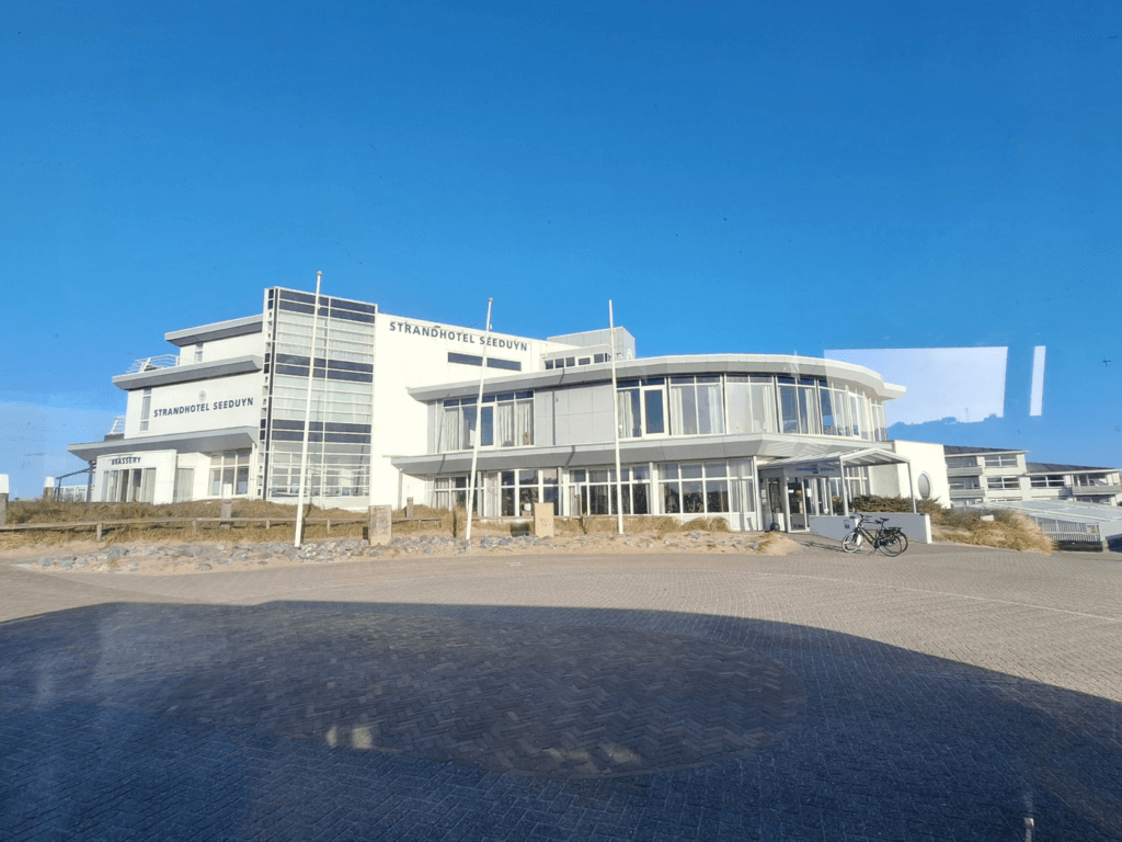
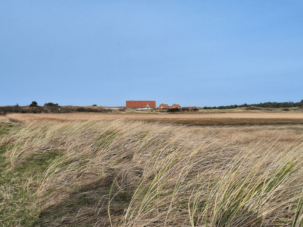
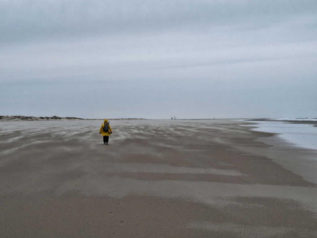
Back on the beach, we made quite some progress. The stone strandhoofden (anti-beach-erosion construction) made of basalt returned. They’re about 200 meters apart each time and form a mental measuring point for us, unlike that first contextless beach walk of today. We made good progress as there’s more to see here, including the Hotel Seeduyn that we’d seen from behind the dunes while riding the bus earlier today.
The beach became skinnier and skinnier over time. We weren’t the only ones on the beach here. The wind had slowed down enough for people to even dare walk against the wind. In the distance beneath the moon, we saw the faint outline of Terschelling. We walked around the curve of Vlieland’s north coast and found the beach exit that had been our beach entrance a day earlier. We climbed the dune and descended into the shopping area of the closed Spar. It will reopen at the end of March, more than two months from now. Jonas had the brilliant idea to empty our shoes of the sand we’d collected today. I had very little, but Jonas had collected a lot.
Back to Oost-Vlieland
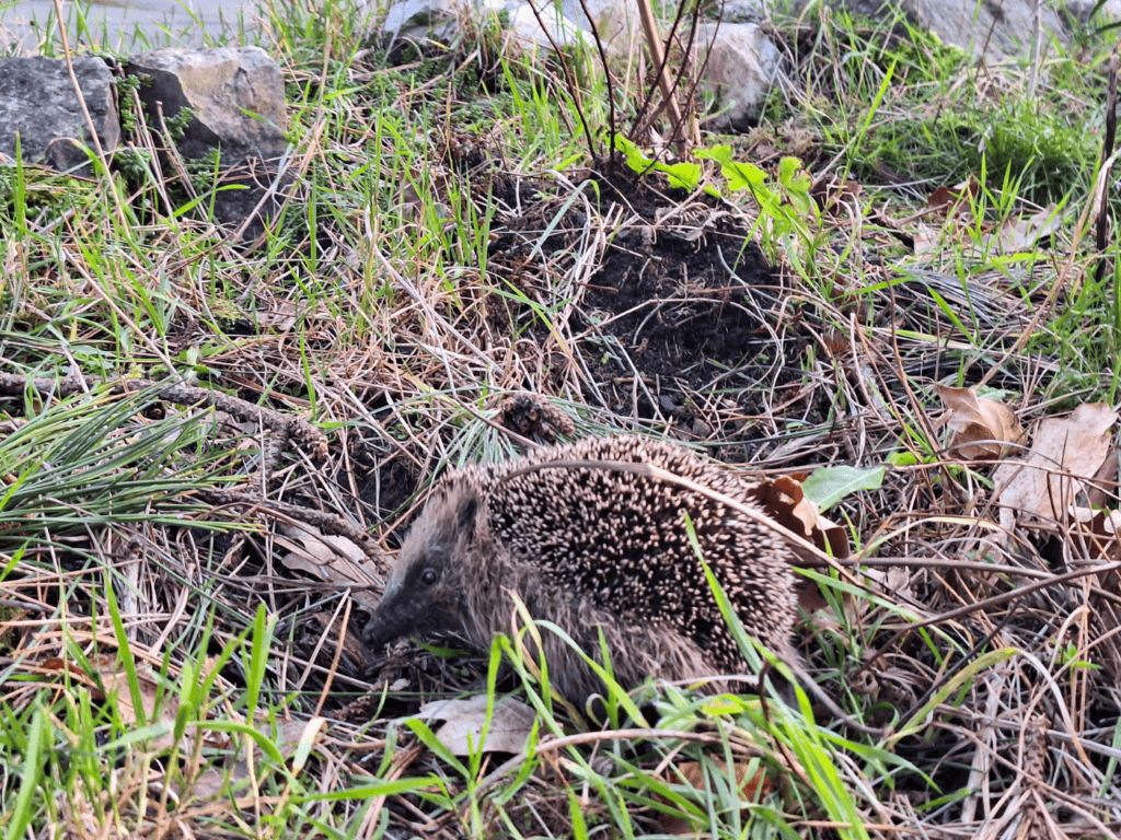
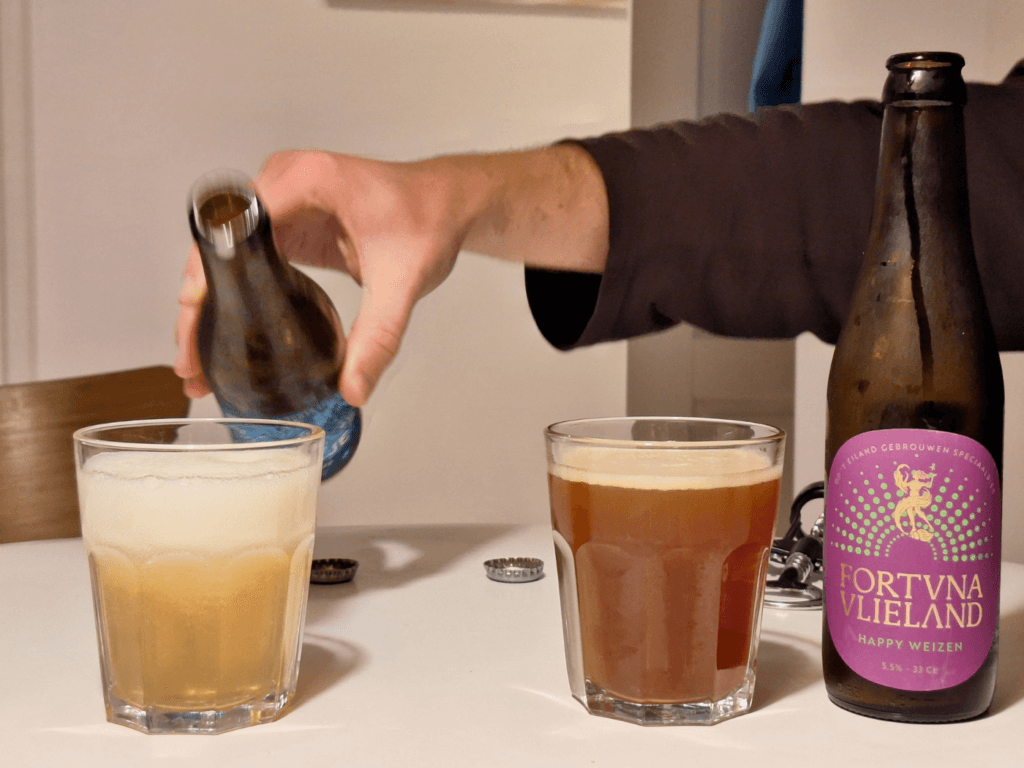
Via a forest path we hadn’t walked before, we returned to the village of Oost-Vlieland. We encountered a hedgehog there that was foraging between the leaves. We were also on the lookout for cats to pet, but we didn’t meet any. I navigated a route between the houses and the interior dune paths to the village to go to the open Spar which also has a toastie business onsite. We did the shopping and bought some of the local island craft beer called Brouwerij Fortuna Vlieland before heading home.
The sun still hadn’t set.
3. Posthuys Krooonpolders Vliehors Military Base Loop (Day 23)
23 January, 2024
Optimizing the Bus Route
This morning, we decided to intercept the bus later in its route instead of sitting on it while it made the loop through the chalet area. To do this, we had to get in at the bus stop Dorp – Kerk. We could leave the house like this a few minutes later. The white and orange cat that sometimes wanders through our garden made an appearance. We tried to befriend him while he was sitting in his dune grass chill spot. No luck.
The walk to the bus stop was a funny shortcut over a dune area till it hit the main road. There was a lot of traffic on this road, mostly utility and repair vans and not individuals. I think a better description for Vlieland is not carfree, but autoluw (literally “lee of cars”) as they say in Dutch. It’s more meant as a reduction in car traffic, not a total ban. Not Just Bikes has some videos about that and I’m not sure if Vlieland is the best example as it’s more a result of banning non-residential cars on the island and has little to do with street layout and zoning.
The bus stop is close to the church of Oost-Vlieland and we could see its beautiful and large cemetery from uphill. I was still hoping for some time to just walk through the village as well instead of just walking the coastline.
The bus was on time and took us to the Posthuys for the second time. The bus driver wasn’t in a better mood than the day before.
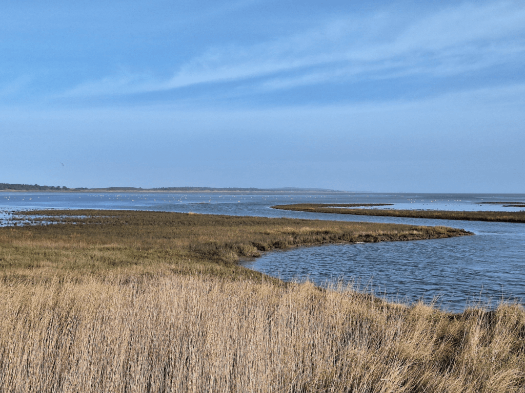
Vlieland Kroonpolders: Bird Watching Paradise
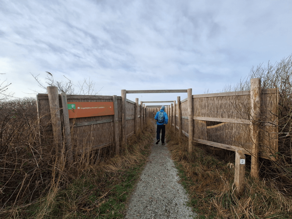
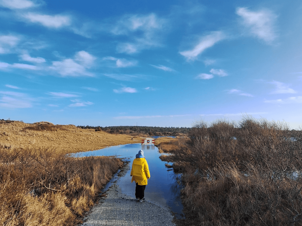
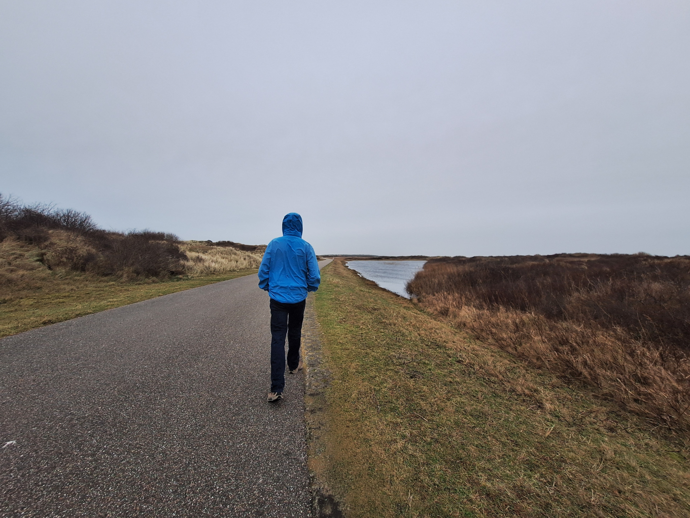
Many people on the bus were planning to do the same or a similar loop hike as we were all headed to the Kroonpolders area once we got off. We quickly tried to put some distance between us and the other people, as one group had both a child and a dog with them. We almost took the wrong path onto the embankment, but corrected it quickly.
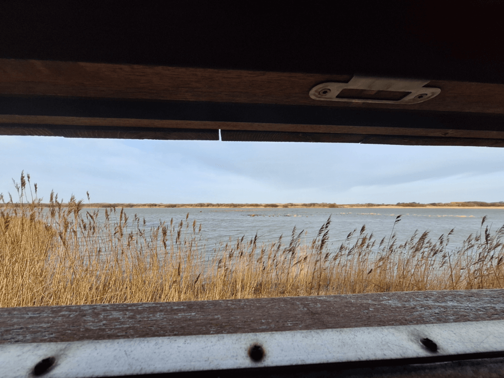
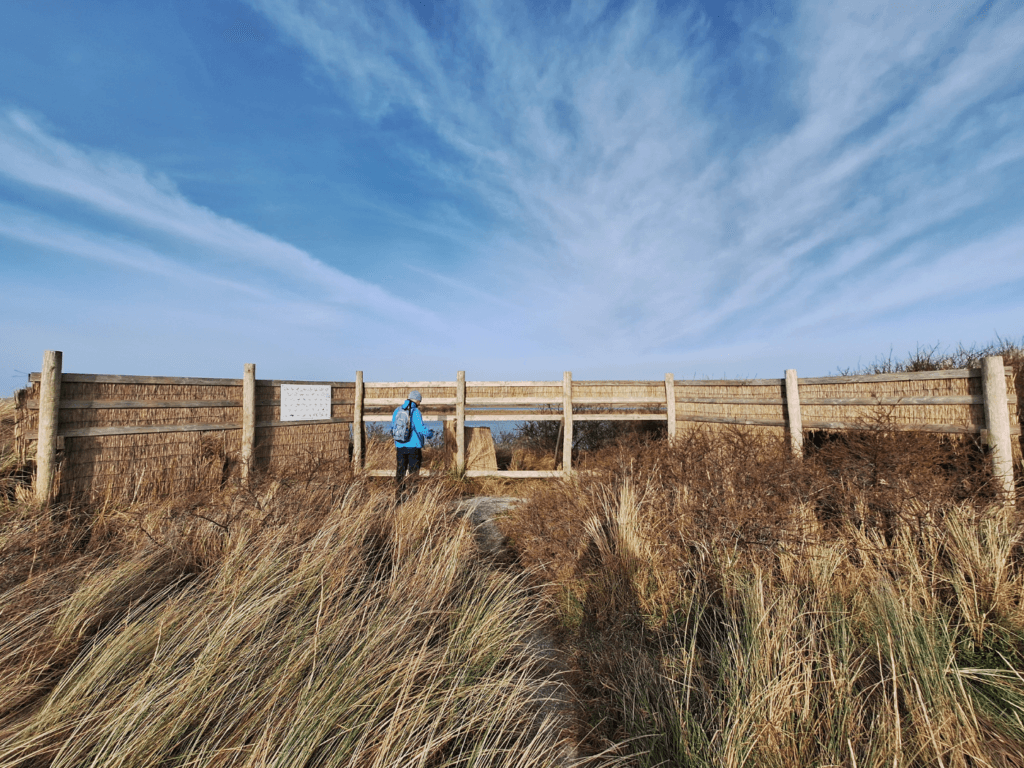
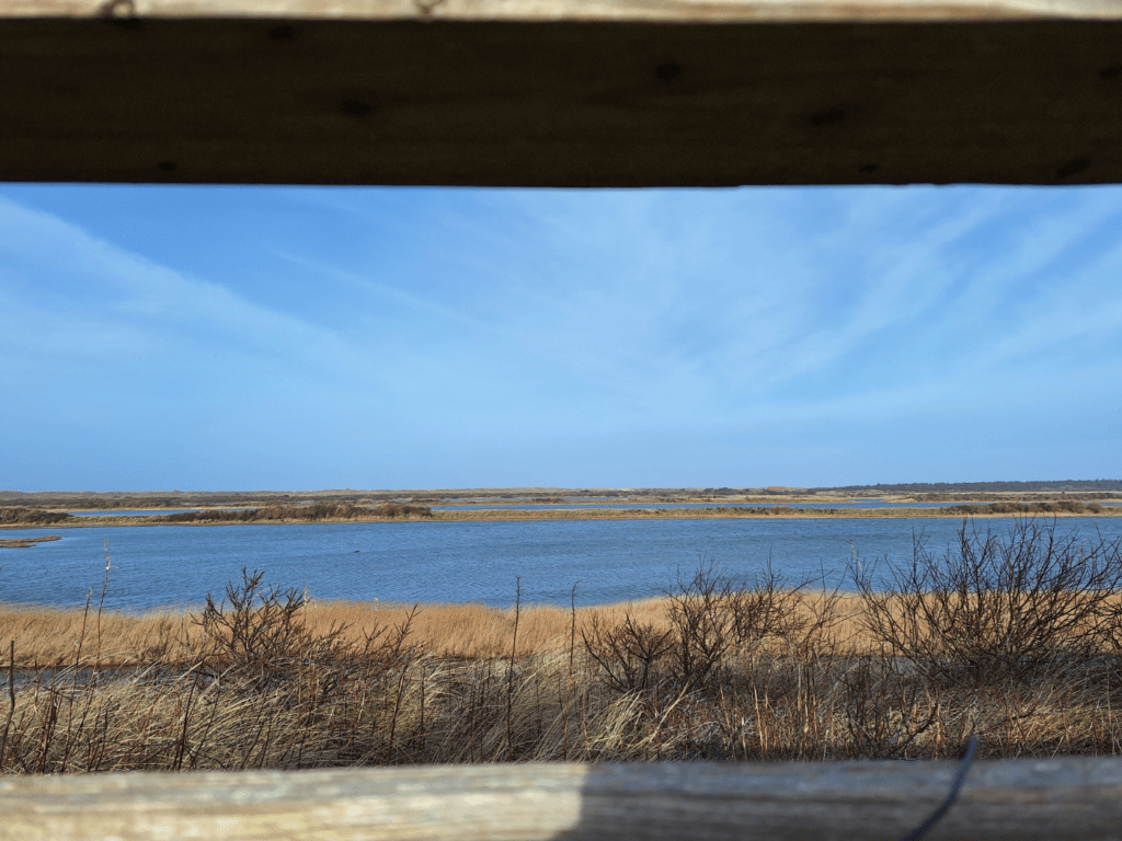
The embankment walk was mostly dry enough for our boots. It was very windy this day and my hiking pole caught too much wind to be useful in testing the ground ahead of me. We headed off the main trail to the birdwatching hut. This section of the walk was out of the wind and very comfortable. It led to a birdwatching hut at the end with little windows to open and close. There were even posters for bird identification if this is something one would be new to.
We spotted some nice birds in the shallow waters. Idk, bird watching always makes me feel a bit voyeuristic as well. Perhaps the hobby comes with age.
One couple that was walking in front of us was here, and they left when we showed up. We did the same the minute the large group with the child and dog showed up.
Dead Ends
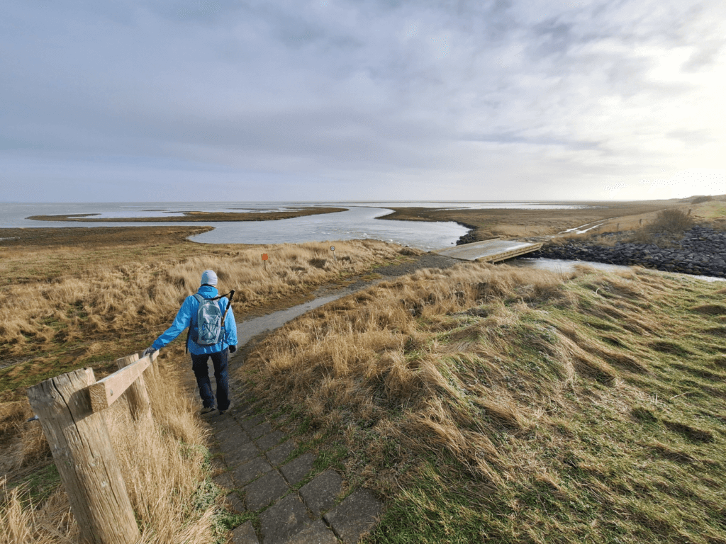
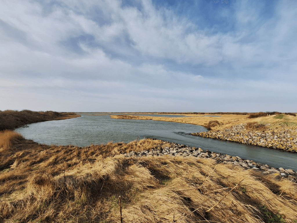
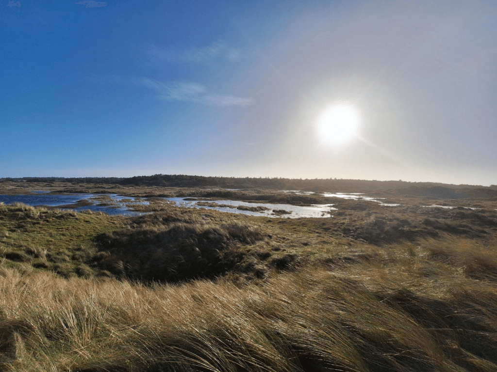
We continued over the embankment and crossed a tidal water outlet with a powerful current. That was honestly my favorite part of this area as it made me look forward to kayaking the Danube later this year. The shallow patch of mudflat/sea outside of the polder had many birds in relaxation mode. It was less windy down there.
The embankment ended for a bit and we had to turn right through some bushes and small trees. The landscape became sandier here. At some point, we encountered the hiking couple that were ahead of us. I told Jonas we should ask them if that means the path doesn’t go through. We had the intention to walk around the entire polder area but knew there could be sections that weren’t accessible during the wet months.
I addressed them in Dutch and they volunteered the information that after the next birdwatching screen, the path was flooded and about knee-deep. They had similar shoes to us and their shoes were still dry, so I’m not exactly sure how they concluded it’s “knee-deep”. But we do not fuck around about the details—too wet is too wet. But it did suck we had to walk all the way back basically to the Posthuys and then continue our trip to the Vliehors from there.
We thanked them for the information and still went to the birdwatching screen on the embankment since it was just a few hundred more meters. It had a nice view of the Kroonpolders, the sea, and the flooded area none of us could pass with our type of clothing. They were right, it looked about knee-deep.
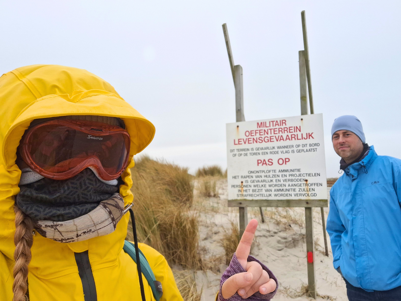
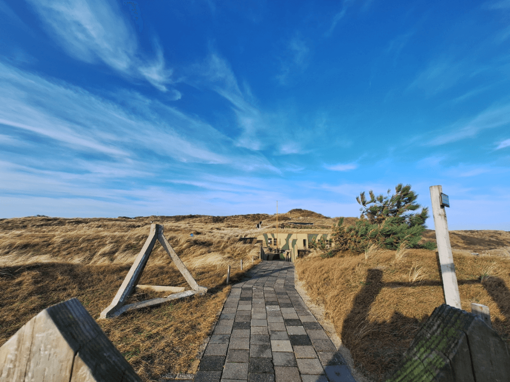
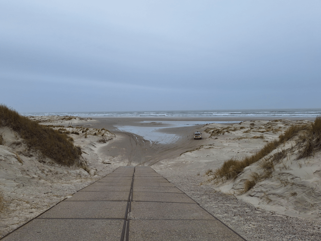
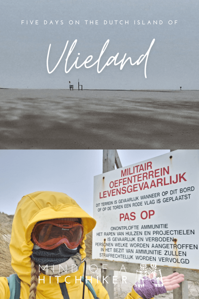
To the Vliehors Military Base: Red Flags
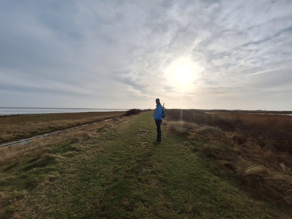
Backtracking to the road between the Posthuys and the barracks of the Vliehors military practice terrain (code name: Cornfield Range) went fast. The road itself was easy to walk but exhausting because of the strong headwind.
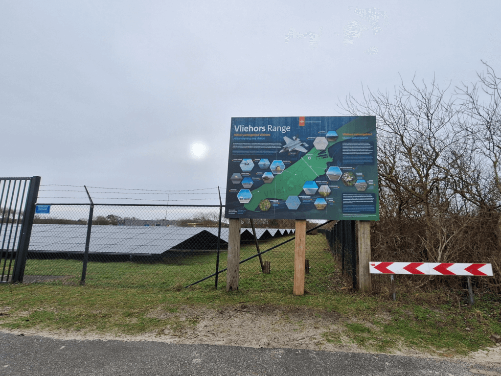
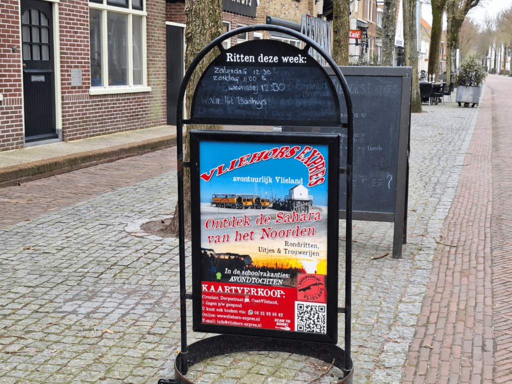
At the end of the road, there was a big sign placed by the Dutch Ministry of Defense about the Vliehors. Some blabla about combining aerial bombing campaigns with nature and keeping things accessible to civilians with the Vliehors Express. I mean, I’m in favor of the military as long as they’re using their expensive stuff for good. And by good I mean liberating Ukraine and annihilating the russian invading forces. If not used for that, I just consider this taxpayer’s toys for boys.
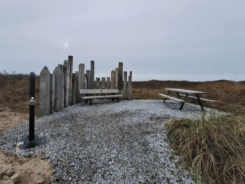
We headed to the beach and spotted a nice unmapped bench area with a potable water fountain. We decided to first go to the end of the beach and then go back here to eat and relax.
The beach access was very tank-friendly. We went down to the beach and encountered the first sign about the military practice terrain and when it’s not allowed to walk there.
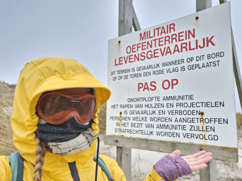
While doing research into Vlieland, we had the greatest trouble figuring out where we could walk on the Vliehors. Some sources mapped the no-go zone further west or east, others said there’s a fence that will physically block you, another mentioned it’s only possible on a tour with the Vliehors Express, and some said you can just walk there if you want as long as you don’t step on some UXO and lose a limb. Even the tourist information in Oost-Vlieland couldn’t give us accurate information.
The sign here said don’t go further if the red flag is raised. We didn’t see a red flag, so we continued to the waterline. There, we saw a small structure in the distance. We both looked at it without our eyeballs getting sandblasted and both identified a red flag. Damn.
We stayed a bit on the accessible side here and then decided to turn around. We ate some food on the aforementioned bench and refilled our water bottles. A few vehicles passed, including the police and something military-related. This was a fairly disappointing hiking day; the flooded trail, the useless Dutch Air Force… and we weren’t even close to home yet. We discussed how to go back to the Posthuys and take the bus and decided since we had to backtrack the exact same route, hitchhiking was fair game—if there was anyone to pick us up.
Hitchhiking back to Oost-Vlieland
On the long straight road back to ‘t Posthuys there were only cars driving in the opposite direction and the custom design Canta driven by an avid birdwatcher. Perhaps one of the vehicles that drove to the Vliehors will drive back soon and pick us up.
But where would we get out? Most probably, all vehicles will drive the whole 10 kilometers back to Oost-Vlieland. There was still this idea that we do a hike from the Posthuys back to Oost-Vlieland via the interior of the island. But would today be that day? It’s probably all wet.
The bird watcher in the microcar made several stops behind us, then overtook us and made more stops, each time us almost catching up with him. He would roll down his window and poke his binoculars out to take a closer look at the geese. This vehicle is surprisingly loud for its size. Perhaps it’s time to go electric, you know, for the birds.
After some time, a car we’d seen driving to the end returned. We stuck out our thumbs and the car slowly came to a halt. They rolled down the window and I asked in Dutch where they were headed. Back to Oost-Vlieland, and we were welcome to join.
The door on my side didn’t open, so we both got in on the other side. There were some canes on the floor we made sure not to step on. They introduced themselves as Bert and Kokkie, residents of Vlieland who moved to the island some 17 years ago. They’ve lived all over the Netherlands including in another national park area called the Veluwe. They’re not as mobile as they used to be, so having a car on the otherwise carfree Vlieland helps them still get out and feel the stormy winds.
They switched to German for a bit when they noticed Jonas is German, before returning to Dutch. They pointed at a bog to the left of the road which fills up with cranberries each autumn, attracting foragers. Somehow this year most of it remained unplucked, and now in late January, it’s flooded. I love learning about local things through hitchhiking.
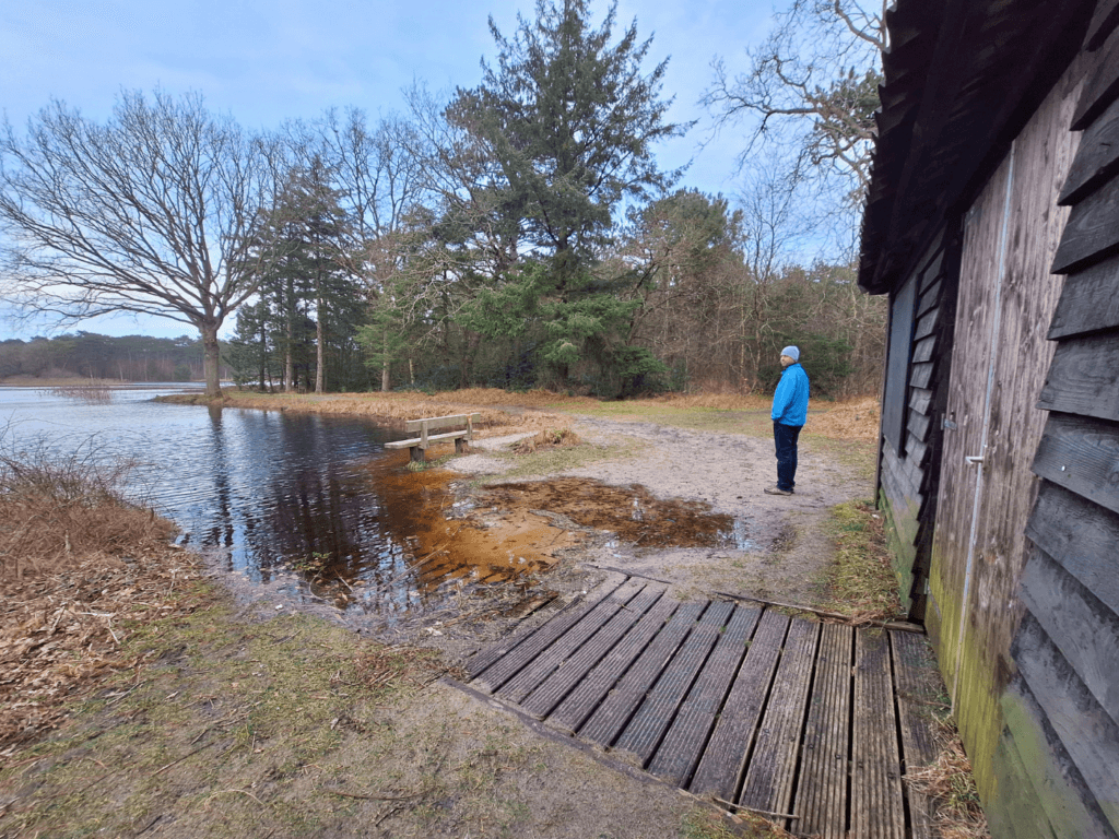
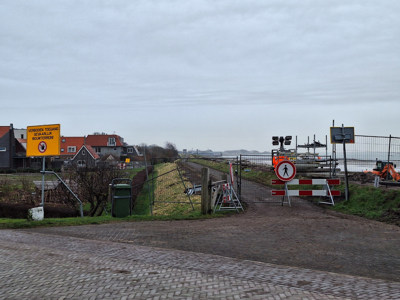
Since distances are all short, we soon stumbled upon the roadworks when entering Oost-Vlieland. They are fixing and raising the dike that protects the town from flooding during storm season. Kokkie says it’s been too long since the government performed maintenance on it, so it’s in an appalling state now. Usually, one can walk on it.
Past the island’s only traffic congestion, we entered the village. They asked where we wanted to be dropped off, and I said right here so we could walk through town, see the church, and perhaps meet a cat. We thanked them for the ride.
Tuxedo Cat, Church, Vliehors Express
Right after we alighted the vehicle, a tuxedo cat with some business crossed the street from the lighthouse to the town. She walked with such purpose towards us that we were sure she was down for pets. We squatted down and said pspsps, but she walked right past. We still tried some more, but the cat could not be convinced. She left both our egos bruised.
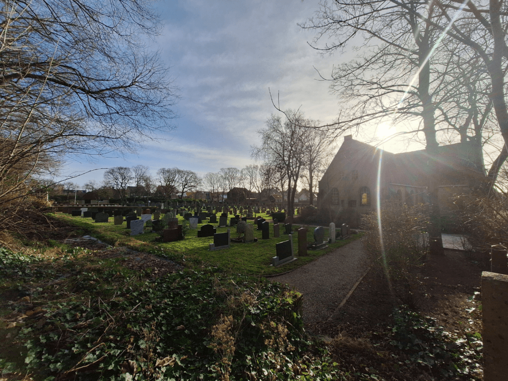
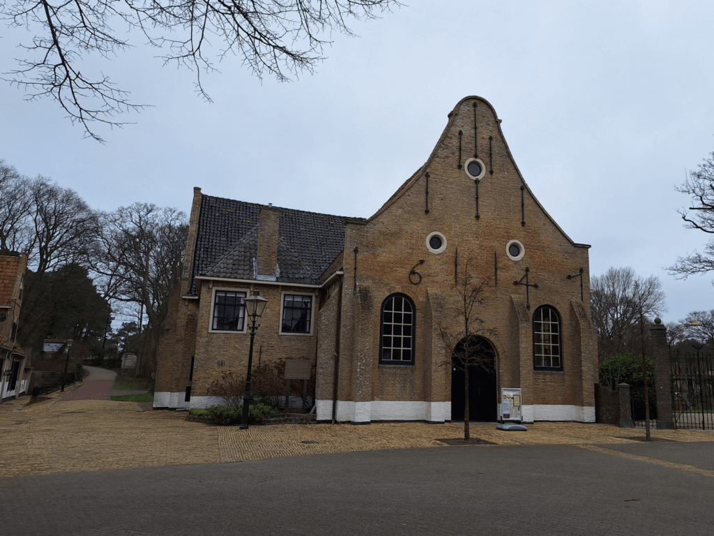
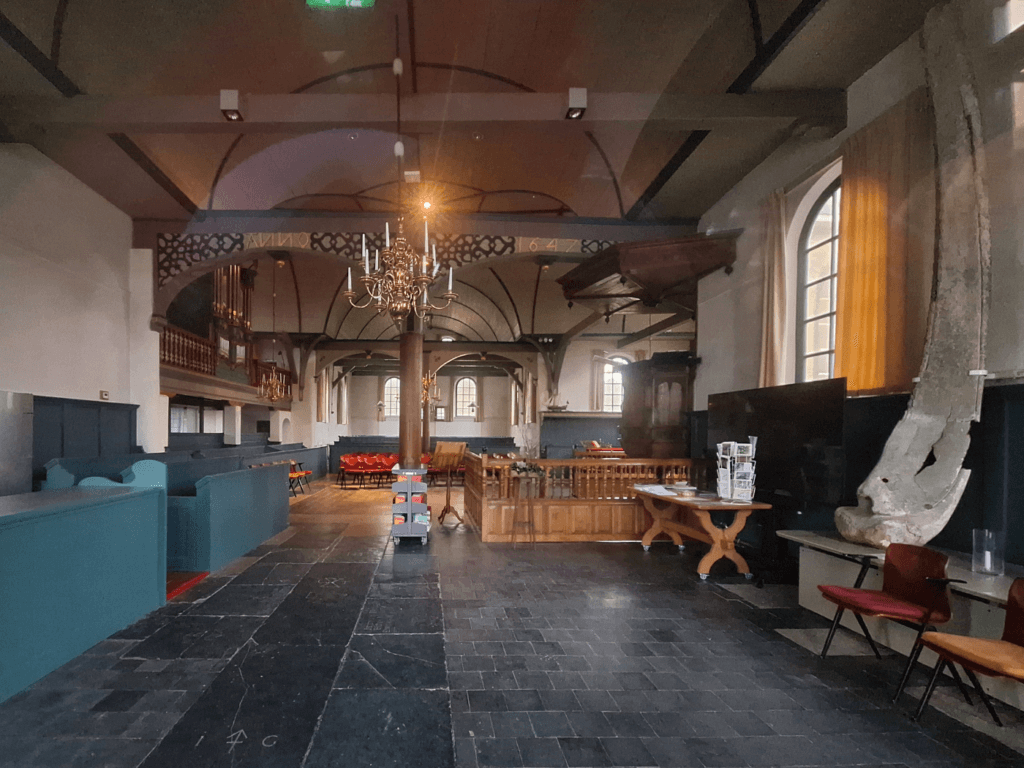
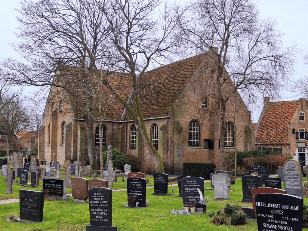
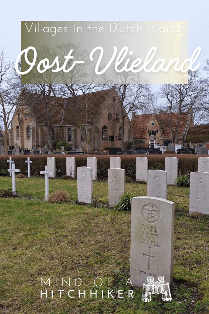
We walked through town to the church and cemetery. The church was closed, but it was possible to look in. It seems to also be used as an event space and community center. We walked through the cemetery, which has the graves of Vlielanders but also the war graves of those – sometimes unknown – who liberated the Netherlands in WWII.
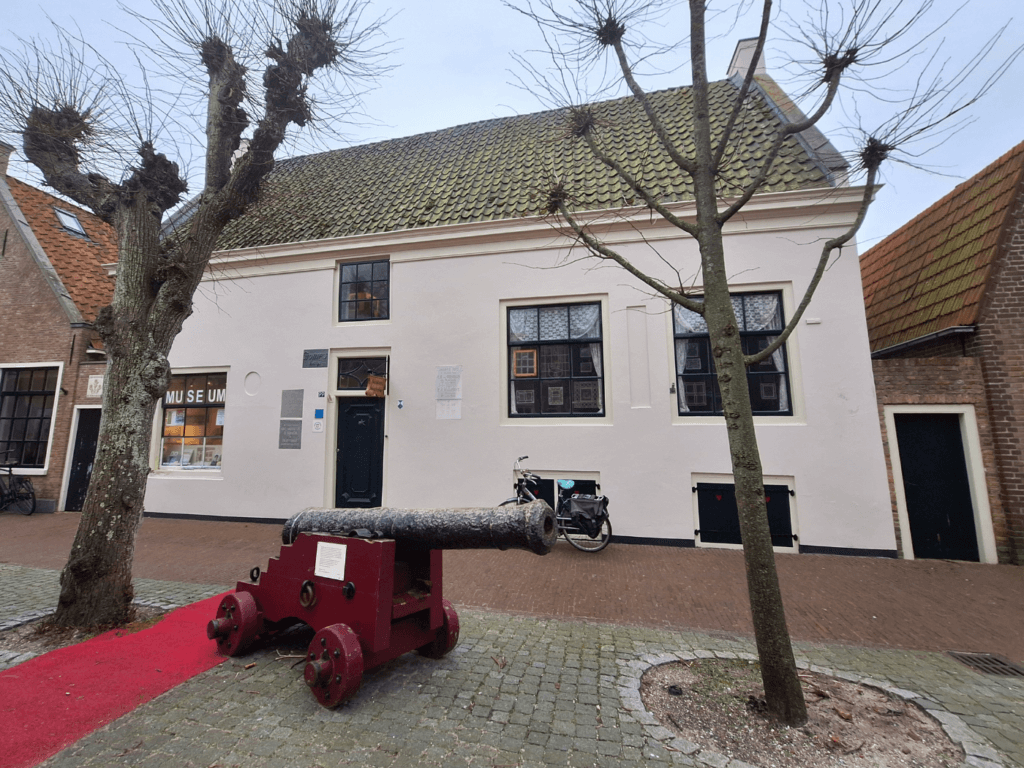
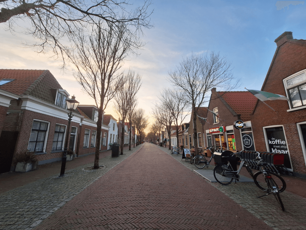
Afterward, we walked through the central street of the town that has zero cars and general good vibes. There’s an ice cream shop that’s also the local cinema, several museums, restaurants, bike rentals, and of course the Spar supermarket we already know. There’s also a second supermarket chain that I’ve never heard of called Poiesz, but we didn’t need anything. The most important thing was to see if the snack bar ‘t Smulpunt was real for later tonight.
Despite this being the off-season, there were still tours, including with the Vliehors Express vehicle to the Drenkelingenhuisje. But they were only going on Wednesday, Saturday, and Sunday. On Wednesday we wanted to do a small hike to the lighthouse, so we didn’t have time for this. Perhaps we should have stayed eight days in Vlieland and also taken this tour over the military terrain.
At the end of the street, there’s a gate through the dike which can be blocked off in case of flood warnings. We walked through it and returned home via the ferry terminal street.
In the evening, we watched Society of the Snow and went out to the cafeteria for some deep-fried food. We returned and tried some of the island craft beers with the second part of this very intense movie.
4. Oost-Vlieland Lighthouse Loop (Day 24)
24 January, 2024
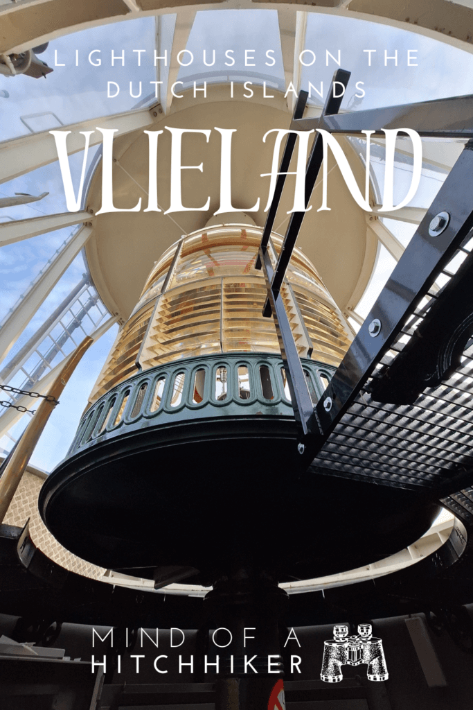
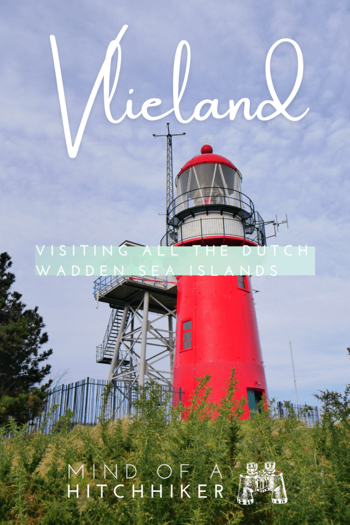
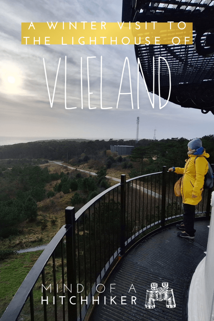
Vuurduin, the Lighthouse of Vlieland
We did some morning work and played with the shoelace with the white and orange cat I named Marshmallow. Before heading out for our shortest walk on Vlieland, we ate some food and even did the laundry. We met Marshmallow again in the neighborhood while headed to the lighthouse.
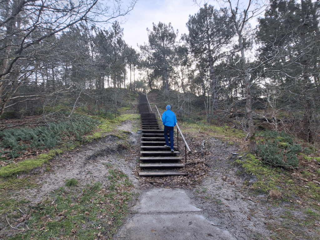
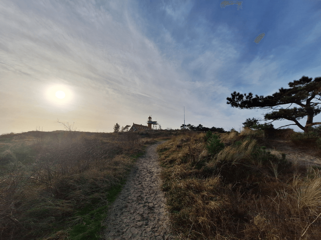
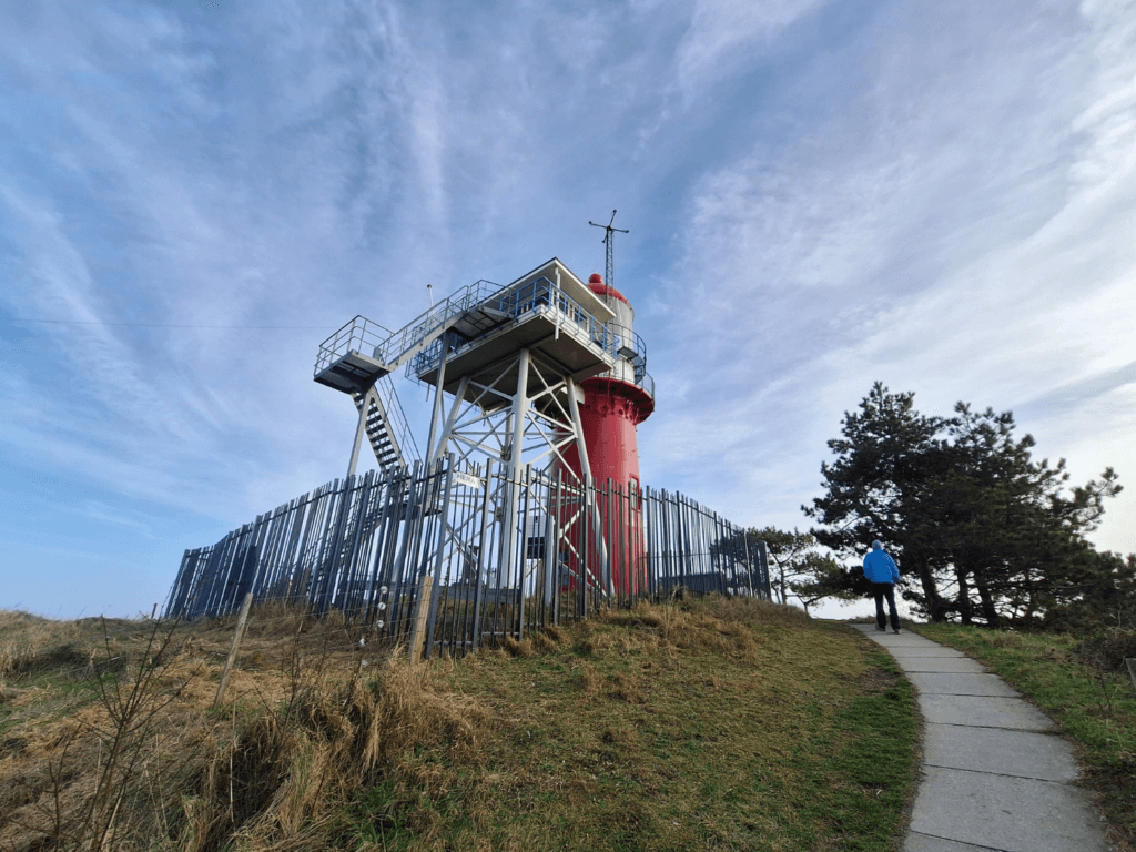
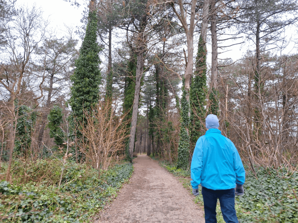
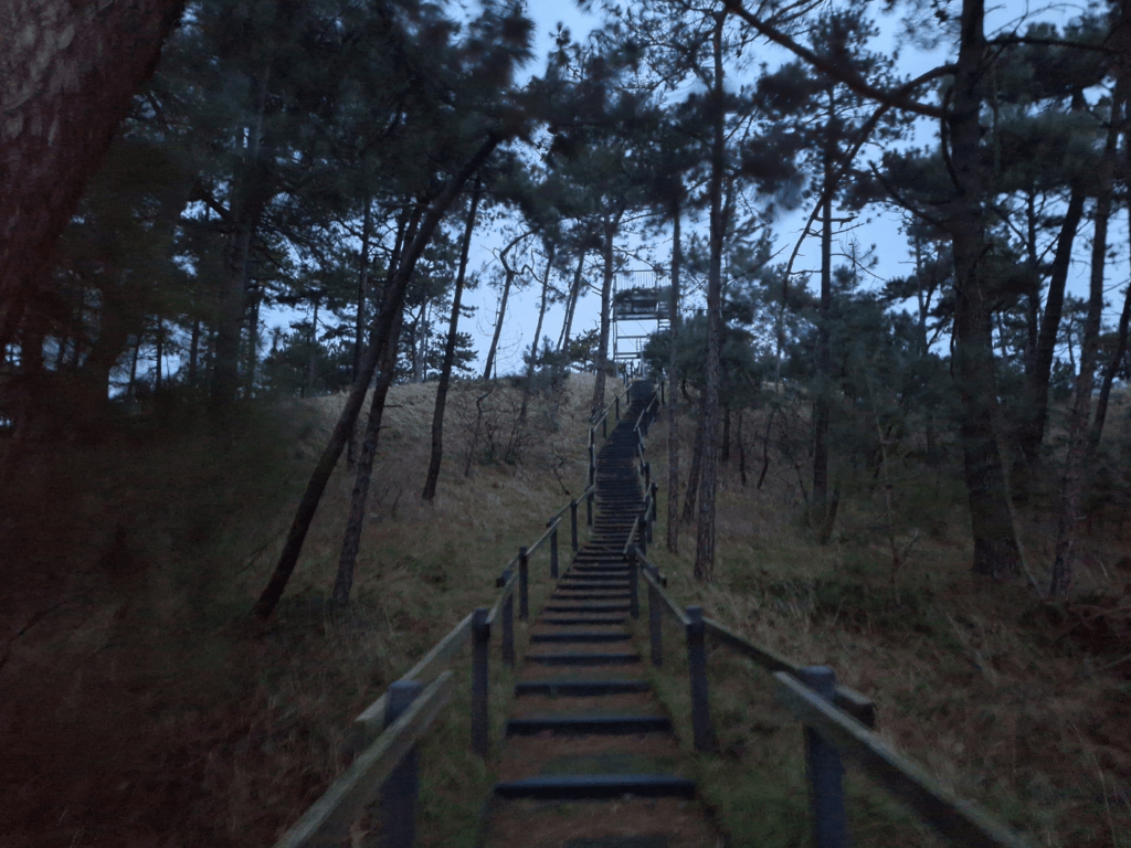
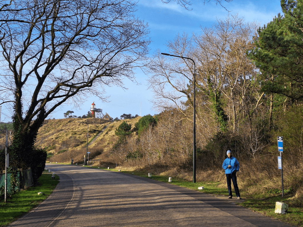
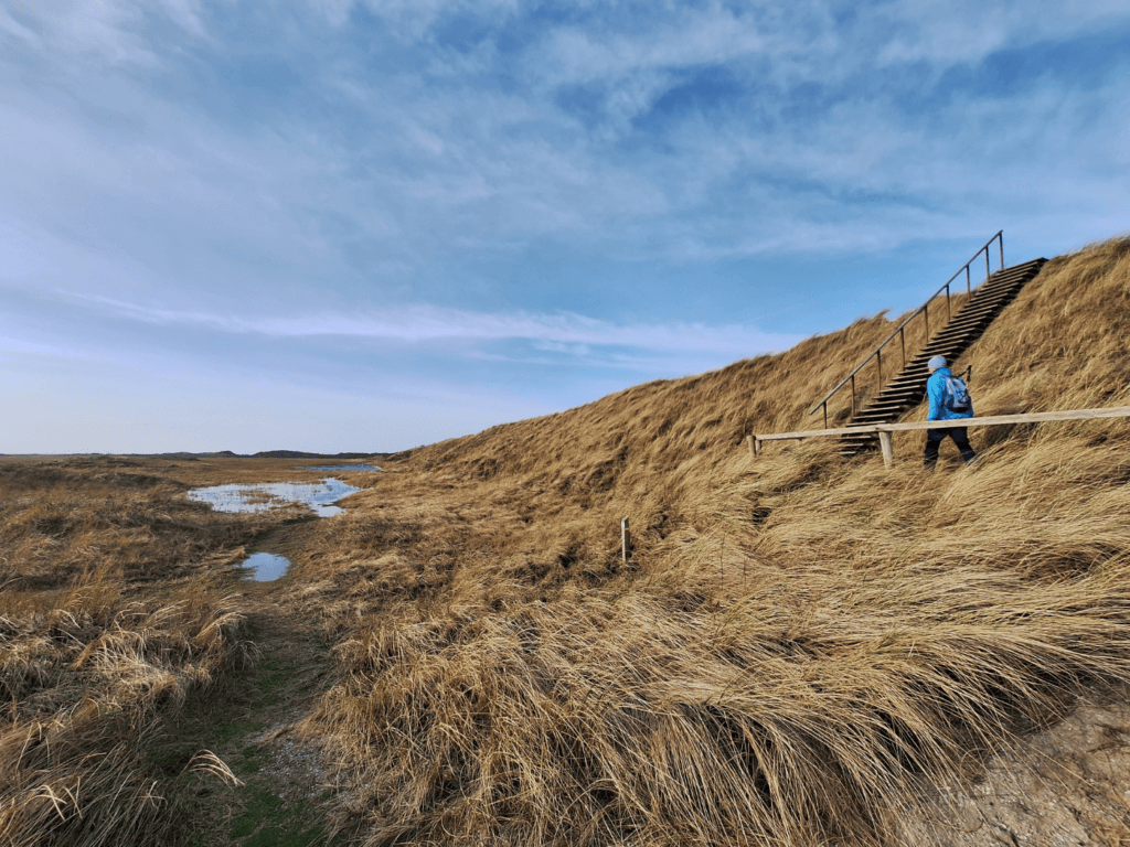
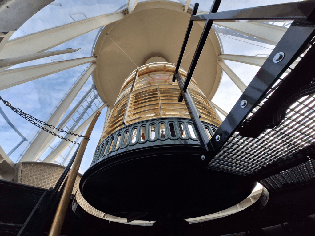
We took a fun route just outside of town through the forest and inland dunes. There were stairs to get up the hill to the lighthouse of Vlieland named Vuurduin, which in the off-season is open to the public on Wednesdays. Compared to some other lighthouses in the Netherlands, it looks comically short—it doesn’t need to be tall because it’s placed on the second-tallest dune in the Netherlands (42masl). What makes it extra iconic is the attached lookout tower.
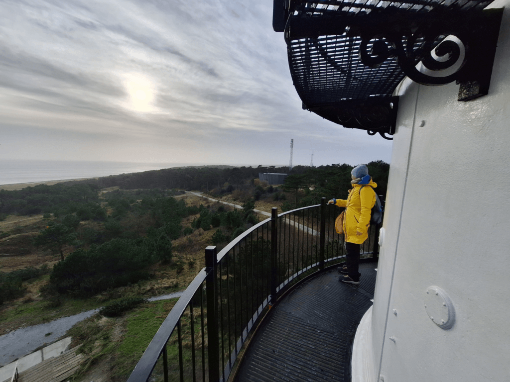
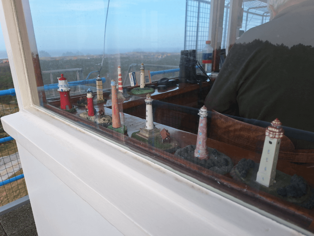
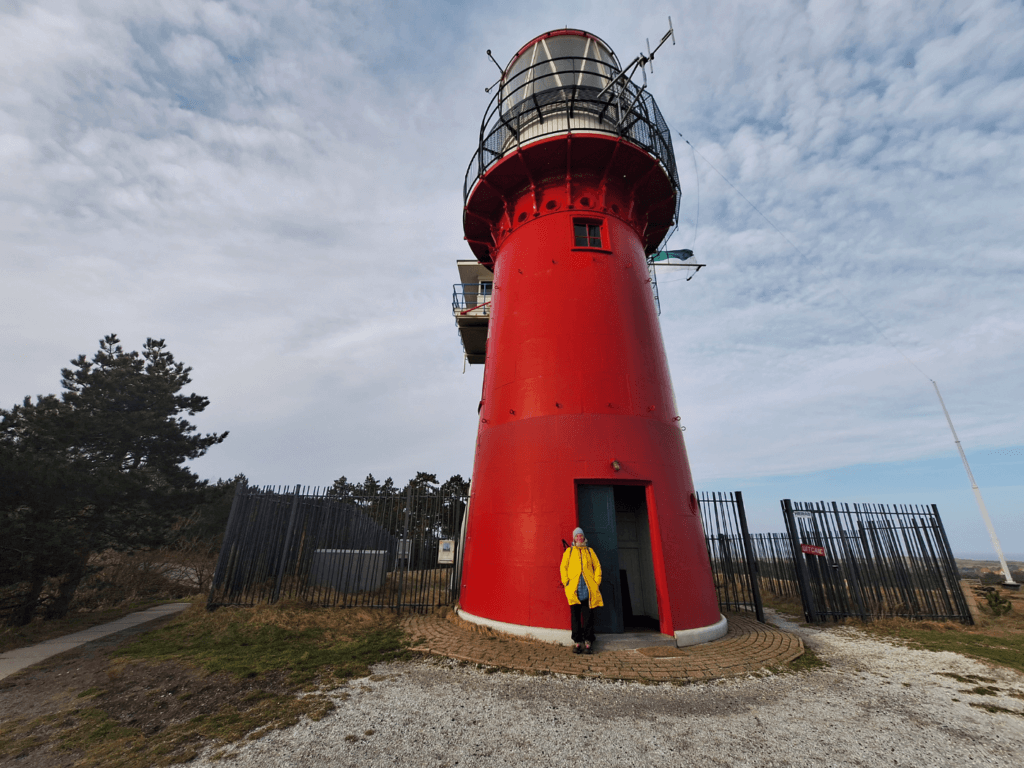
The lighthouse keeper in the second tower sold us the tickets and answered questions. Entrance was €3 per person and it’s possible to somewhat walk around the balcony of the tower. It was very windy. There were views of the town and parts of the island. Our driver from yesterday Kokkie told us it’s nice to go up the tower because you can experience the island feel from there. That was true, despite the western side not being visible because of the forest. Visibility was also not that great that day since it was rather cloudy.
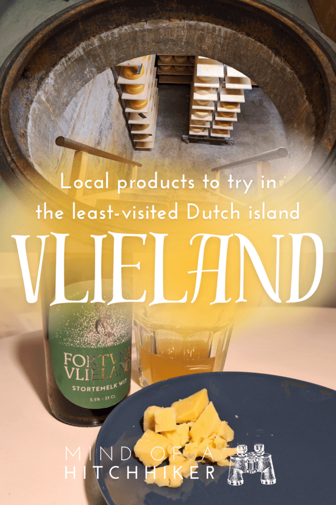
The Cheese Bunker + Flooded Trails + Abandoned Building
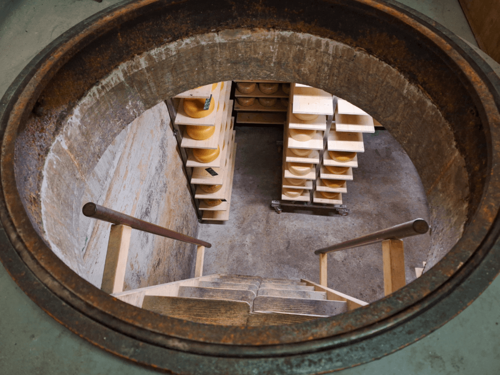
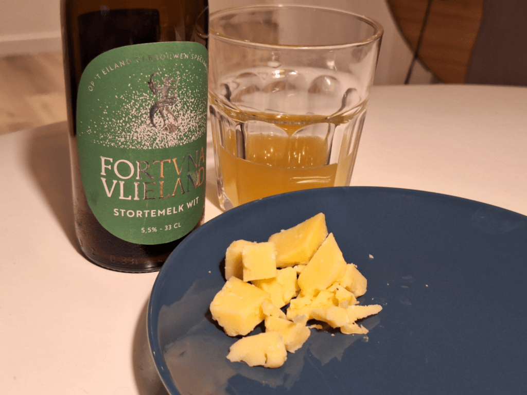
After the lighthouse, we headed for the kaasbunker, which is a former German bunker now functioning as a cheese-ripening cellar. We only visited shortly, but it was a lot of fun. I asked for their cheese fondue, but it had sold out. I bought a piece of old cheese for at home, which was pricey but very delicious.
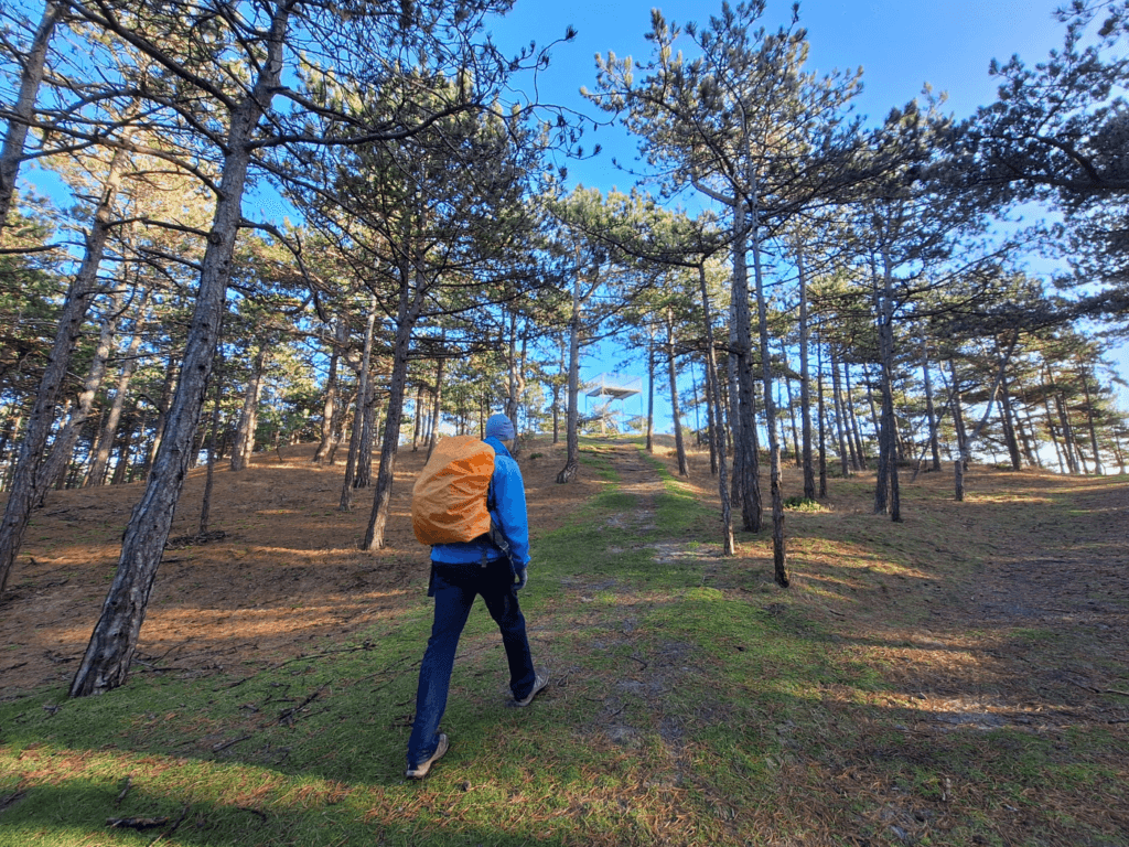
With our newly-acquired cheese, we continued our short hike. We climbed a lookout tower that was complimentary to the lighthouse as it shows only the western part of the island for as far as we could see.
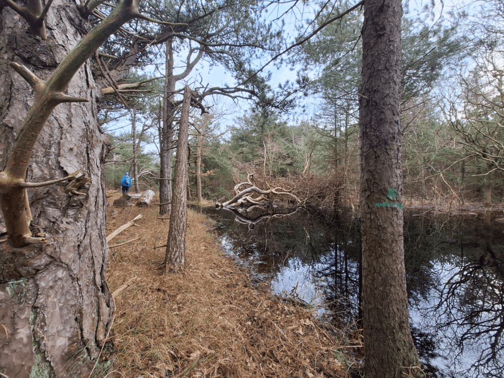
We continued the forest walk, where we heard people with chainsaws doing maintenance work. There were a lot of fallen branches as well from previous stormy days. I hope we won’t get our heads caved in by a falling tree or something like that.
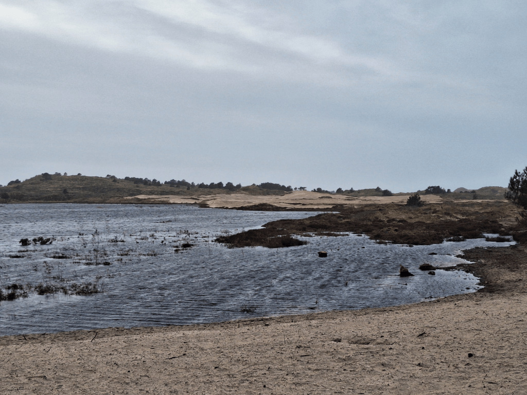
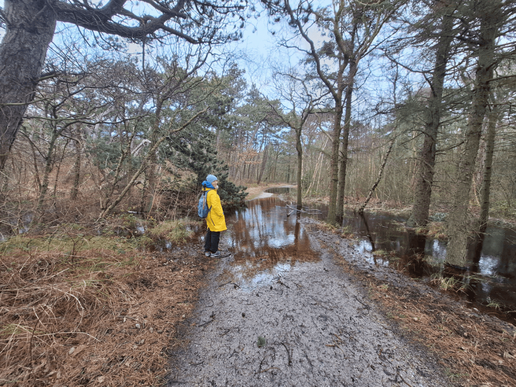
We tried to get to the grondwater meetpunt from the other side but found yet another flooded path. We walked back via the torenvijver pond to drier parts of the forest. I hoped this was our last encounter with potentially wet feet.
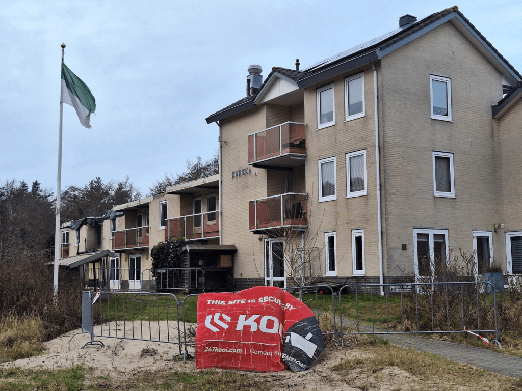
Headed east, we crossed the Badweg road that goes between Oost-Vlieland and the holiday home area and crossed it. On the other side, there’s a condemned building. It’s weird to see buildings falling apart in the Netherlands since most things are well-maintained or immediately demolished. I asked Jonas if he wanted to do an urban exploration session, but he wasn’t interested. Also, there were lots of signs saying stuff like “Trespassers will be prosecuted”. It might have something to do with that.
Open Air Ice Skating Rink + Returning Home
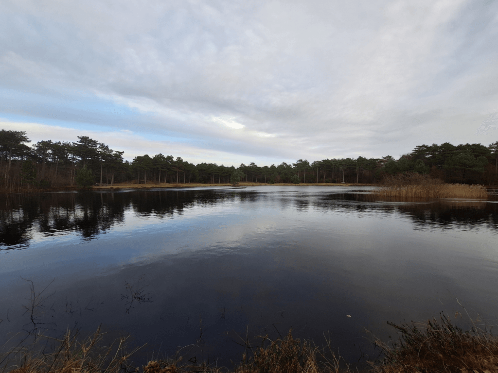
The last thing we wanted to see in the immediate vicinity of Oost-Vlieland was the ice skating rink (ijsbaan). If it’s not freezing, it’s just a pond. The trail to the pond was yet again flooded, but we found a shortcut through the forest. There’s a wooden bench next to a shed that’s right at the water’s edge, perfect for putting on your ice skates. Sadly, today’s winters are usually too mild for good frost.
We took a shortcut the last couple of meters home, where we ate dinner and opened up some more of the Fortuna Vlieland craft beers with our amazing old cheese from the island.
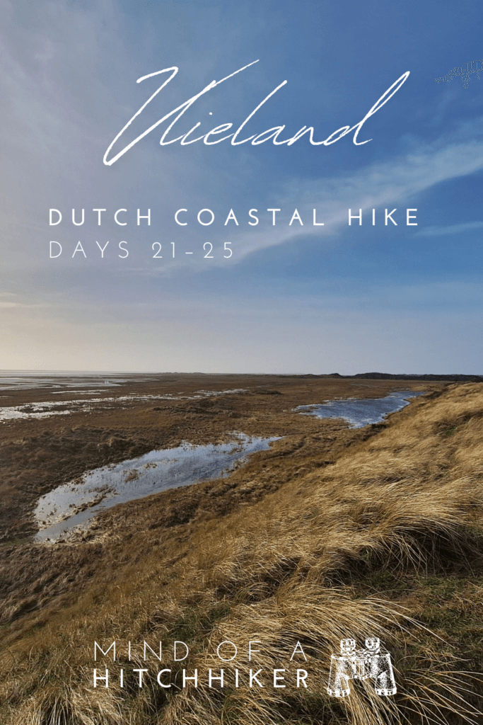
5. Forest Hike (Day 25)
25 January, 2024
Bus to ‘t Posthuys + Canceled Ferry to Terschelling
Before we headed out, Jonas received a call (in German) from Rederij Doeksen about our direct ferry between Vlieland and Terschelling. It was scheduled to depart the next morning at an ungodly 7:30, but it was canceled due to bad weather. Jonas asked about the afternoon ferry at 15:15. The lady replied that they hadn’t canceled that one (yet). We asked to change our ticket to that ferry instead. She said we would not receive a call from her unless that ferry will also not sail.
No big deal, but we do have to ask if we can stay longer in the apartment now.
Today’s hike is neither short nor long in distance, but we knew the challenge would be the wetness. We walked to the Vuurtoren bus stop and spotted a fluffy grey cat on the roof of a nearby house. She was very vocal and would have definitely come over for pets if she hadn’t been up there. For ten minutes, I tried to lure her down, but she didn’t show. Perhaps when we’re back after the hike we’ll meet her again.
We took the bus to ‘t Posthuys and the same people with the child and dog were on it. Thankfully, they were not doing the same hike as we were. I checked out the hotel/restaurant ‘t Posthuys for a bit since maybe it would have been nice to have a cup of tea there. But we were at the start of our hike now and it didn’t make sense to already take a break.
Today’s hike was the equivalent of walking the southeastern coastline of the island Vlieland, except we took a more inland route since we didn’t just want to walk on the road where the bus drives. That would make for an incredibly boring hike.
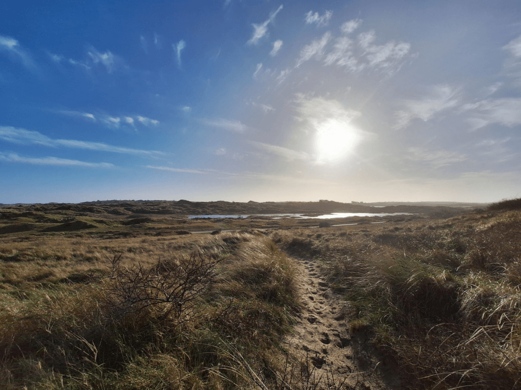
Bomenland + Dodemansbol + Bird Watching Hut
This time, we headed to the forest called Bomenland. It’s on the edge of the forest and the dunes. It had a very nice view of some inland ponds with geese and cyclists. The forested path was sometimes flooded, but there were ways to walk around it.
Back out of the forest, we crossed the main road to the Dodemansbol. This is mapped as a memorial or ‘the old cemetery’. But it’s the location where people who came ashore on Vlieland with a contagious disease – dead or alive – were buried instead of in the main cemetery. It’s very small considering there are human remains of many (?) people here.
Behind it is a birdwatching hut, again with posters for bird ID and views of the mudflats and many birds. We walked the parallel trail here a bit until it became too dodgy, then we backtracked and walked the main road for a bit past yesterday’s cranberry bog before heading into a trail to an ancient structure I was excited to see.
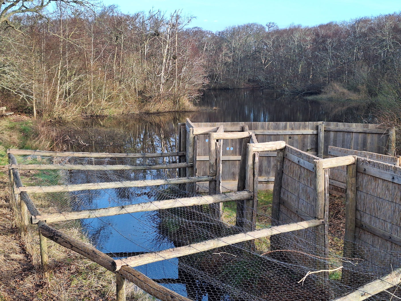
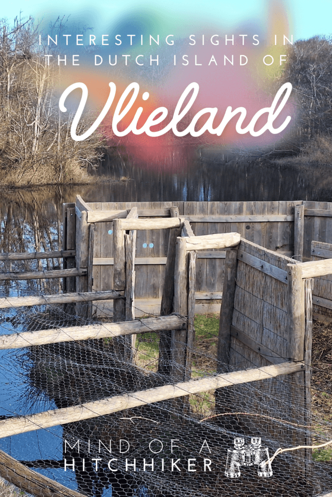
Vlieland’s Oude Eendenkooi (Duck Decoy)
The mostly-dry path to the old duck decoy got me very excited. My mom’s dog is a Kooikerhondje, which is a breed that used to work in duck catching in the olden days. They were employed in something called a duck decoy. This is a pond with traps for ducks at several ends to put food on the table for those who eat waterfowl. Back in primary school, I did a presentation about them (without ever having visited one—as you do in primary school). I’ve told Jonas about these structures for years, but it sounds like inefficient madness in today’s context. Now I could prove to him that it is real. This is how I described it:
Ducks would land in the pond. The Kooikerhondje would lure the ducks with her fancy white long-haired tail deeper and deeper into a sidearm of the pond. Eventually, the sidearm becomes a cage. The ducks enter further until they are trapped in a small cage that the duck trapper closes. The duck trapper grabs the ducks, kills them with the twist of the neck, and then sells them as food to fellow humans. The dog gets a reward for being a good girl.
Sounds surreal? Yeah, I guess.
But here I am, 32 years old, and finally visiting my first eendenkooi and showing it to my partner. There was an info sign that explained the process in a different way and said this duck decoy used half-tame ducks (traitor ducks) to lure wild ducks into the pond. What’s cool is that one of the four arms of this duck decoy was rebuilt with screens and the actual trap as well. It was much smaller in real life than I anticipated. And as a vegetarian, I thought it was a rather horrifying and terrible way to go for the ducks… to be trapped in a small cage in total panic.
But yes, curiosity satisfied.
But the wildest thing is that these duck decoys are sometimes still in use today. Not for a protein boost, but for bird research.
Improvising over the Heath
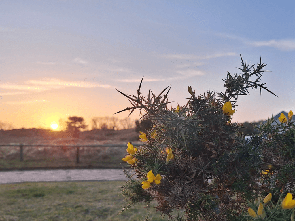
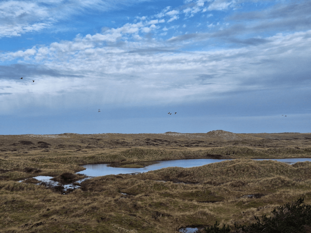
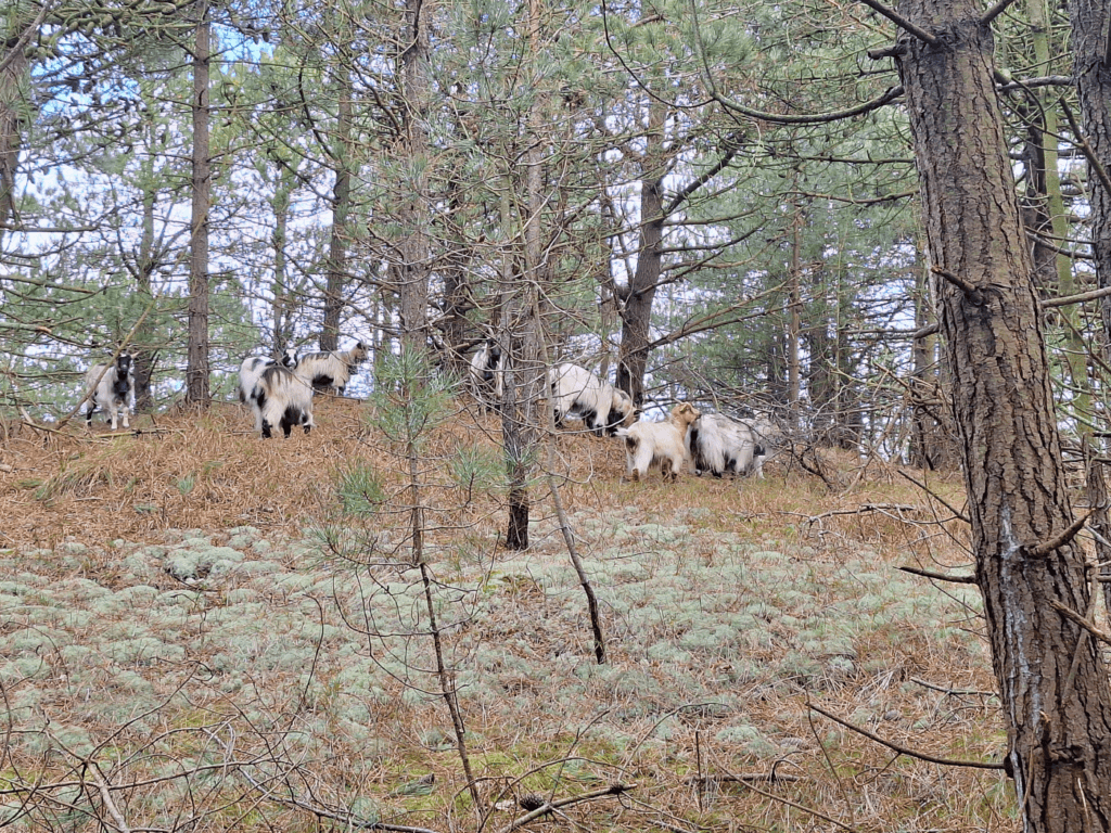
The continuation of our planned route went over a currently wet heath with sheep and goats. There were official spots to hop the electric fence, but we also found the official one with a cattle grid. The map had a trail going across the heath, but within little time we stumbled upon the first big puddle and had to go off-trail.
Some of the boggy bits were seemingly endless as if they were rivers. Wearing wellies instead of low-ish hiking boots would have solved 90% of the issue. But we didn’t have wellies nor had the thought crossed our minds at this point. Instead, we tried to find the ‘divide’ of the island, where the water flowed in two different directions and where the elevation was continuously high enough for us to keep our feet dry.
Every time we stood atop a small dune hill, we could see ahead and accidentally spook some sheep in the process. We just want to be friends.
The fenced-off park also crossed a road (Pad van Twintig) and then continued on the other side. We exited the fenced-off bit via another cattle grid and entered a forest.
Forest to Campground, to Bike Path, to Oost-Vlieland
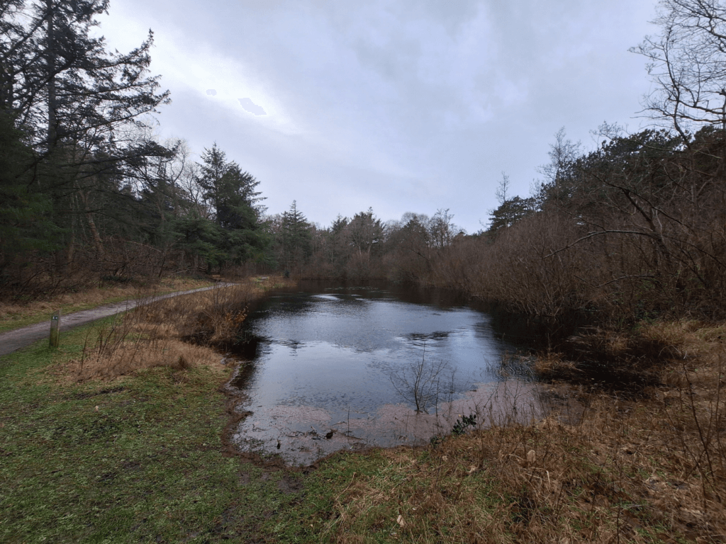
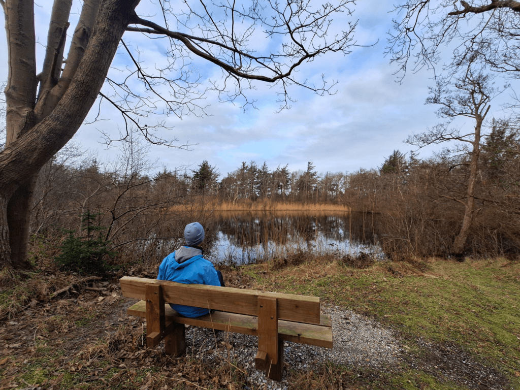
The forest had a nice wide trail that was mostly dry. There was another former duck decoy, but this one had become just a pond. There was a nice bench there and we sat down to enjoy a snack.
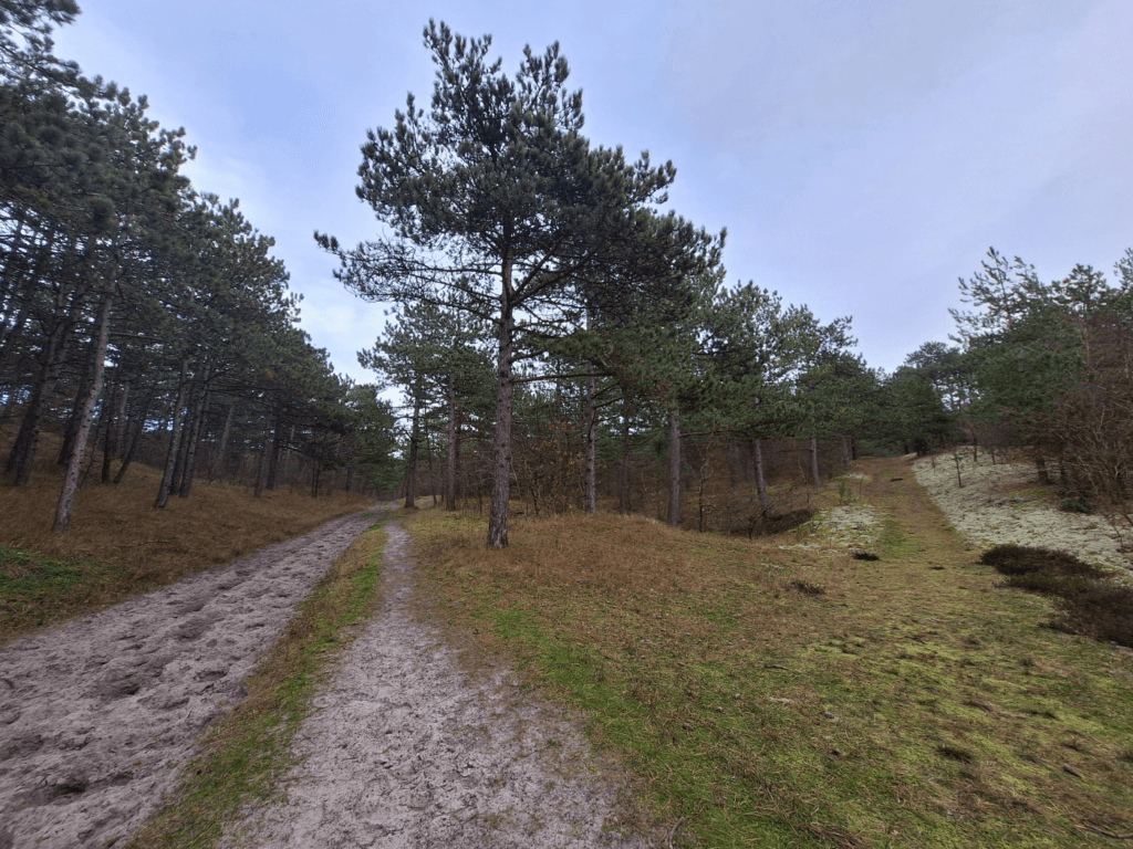
After that, we continued and crossed another cattle grid to enter the same grazing area as before. The trees disappeared and the path became partially flooded again. This was a short section and before we knew it, we crossed a fourth cattle grid to leave the area. This is where the campground De Lange Paal is located. We heard guys with a chainsaw before we saw them, working for the forestry service and making things nice before spring. There was a lot of space for camping here, even though the spaces must all be smaller on average because people come on foot or with their bicycles. I assume that neither cars nor caravans can come here. Even if the island gets crowded in summer, this doesn’t sound that bad.
We continued via a bike path into the area adjacent to where we had walked yesterday. The shell bike path was fine, but our mapped route took us off it to the left. It was only a little bit muddy there, but Jonas said let’s take one exit later. However, that second exit was more flooded than the one before, so we had to either backtrack or continue walking to the main road. We chose the main road and still crossed a section of bike path that was very flooded but only 2 centimeters deep.
This was slightly disappointing. We walked a bit along the main road while the ferry arrived. Lots of (day tripping?) cyclists and local vehicles drove in that direction. We took a left off the main road as soon as we could. There were some goats on this corner that looked like they wanted some of the grass from our side of the fence, so we plucked some and fed them.
The interior path parallel to the main road was quite nice to walk. It was elevated, so we didn’t worry about wetness. Very quickly we were entering the town of Oost-Vlieland and had bypassed the maintenance works on the dike.
Meeting Cats!
Back in Oost-Vlieland, I first tried to find this morning’s fluffy cat that had been on the rooftop. I called out for her, but she didn’t show. So we ducked into one of the side streets of Oost-Vlieland that we hadn’t walked before.
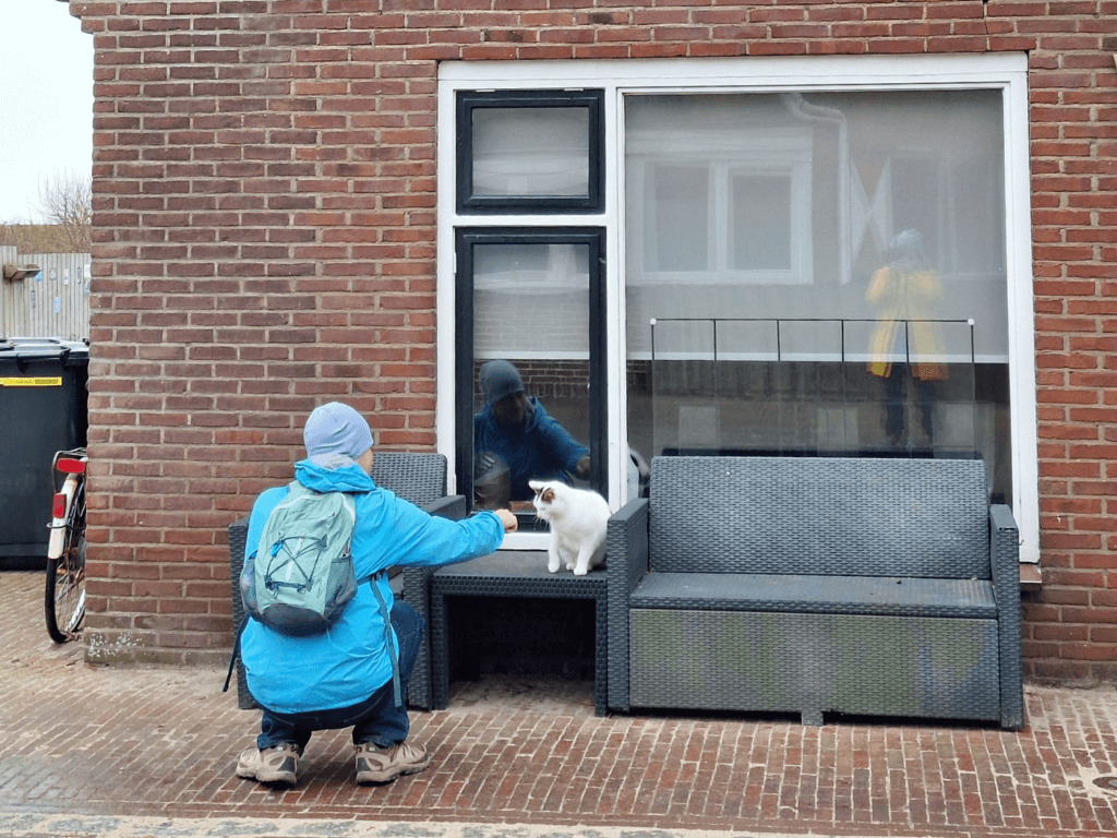
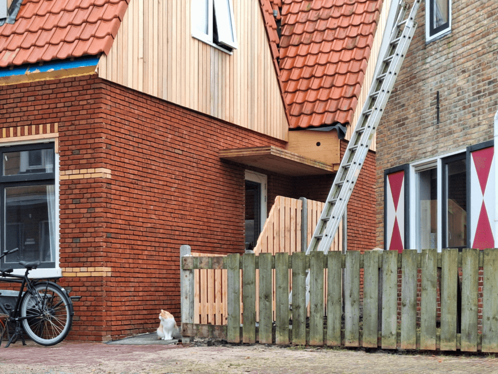
Then I spotted a cat atop a trash bin. A beautiful mostly-white chonker with some tabby spots. I approached him and he let me pet him till he walked away. He hopped on some outdoor chairs outside of a (his?) house and I petted him some more. Jonas also gave him some scritches. Another cat (floofy orange and white) across the street was watching us. We approached him, but a door flew open and the cat made a run. The lady who came out of the door was this fluffy orange cat’s mom and she said his name was Tjibbe. She was very nice, but Tjibbe was on a mission elsewhere and kind of dashed away. He reminded me of the Cypriot cat Misha in Polis at our favorite Airbnb ever.
I was very happy that we had petted one (1) cat in Vlieland. It was time as well because we were leaving the next day. Back at home, we spotted Marshmallow again, who was making himself at home in the marram beach grass. He remained unpetted.
Jonas texted the Airbnb host to ask if it was okay to check out later the next day because of the ferry. Thankfully, the direct (pedestrian/cyclist) ferry between Vlieland and Terschelling for 15:15 wasn’t canceled. The last cold craft beers were waiting at home for us.
With our last hike on Vlieland complete, I felt like we’d done the island justice as part of the Dutch coastal hike.
6. Ferry from Vlieland to Terschelling
26 January, 2024
Sjouwermansbol Lookout
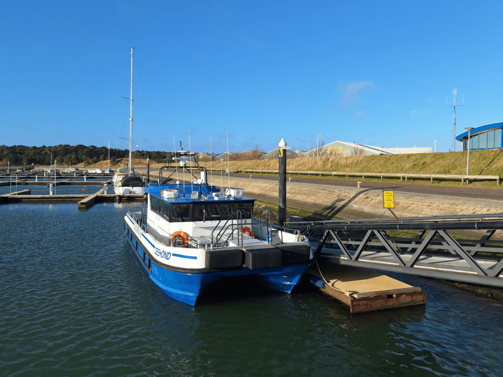
The next day, we did some morning work until it was time to pack for the ferry to Terschelling. We saw Marshmallow one last time.
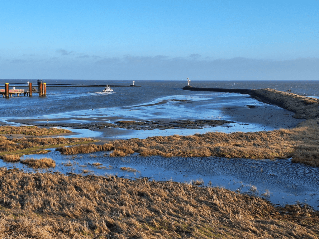
We walked via the forest paths to our last touristy thing in Vlieland; going up the lookout tower Sjouwermansbol/Belvedère. Climbing up the tower with all our luggage was no big deal. We had a great view of the small yacht harbor where our ferry to Terschelling also departs from. This highest dune in the area used to be the lookout for the gig economy guys of the olden days. They’d spot incoming ships here and then lend their services to carry goods on or off ships for a guilder.
Looking out at sea, it did seem that it was still rather windy and wavy. Luckily, Jonas had his seasickness pills and took them once we were down again. We walked to the harbor and waited for stuff to happen regarding the ferry. My attitude was that I’ll believe it when I see it. There was no one here and zero indication that a ferry would depart in the coming twenty minutes.
That was until the captain of our ferry showed up five minutes before departure.
Crossing the Stortemelk to Terschelling
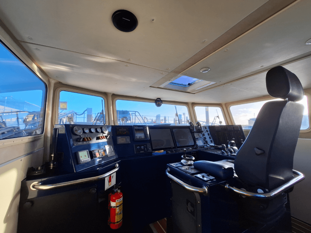
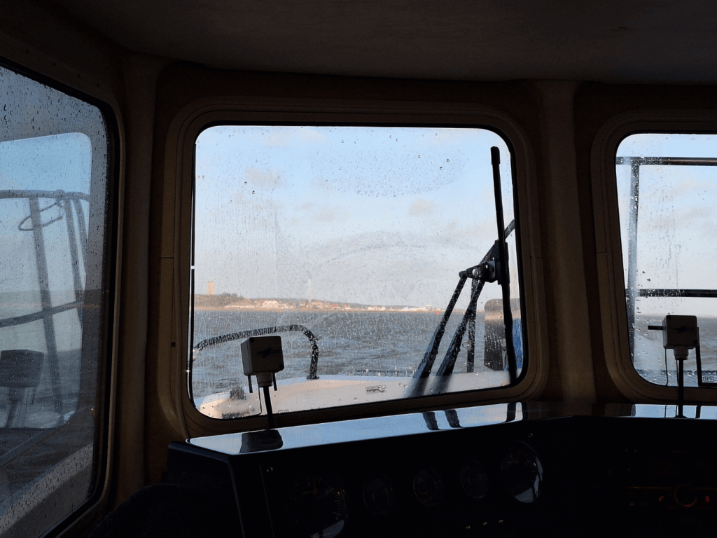
The captain opened up the ship and we embarked. The catamaran ferry has a very nice layout inside for a maximum of 12 passengers. The captain warned us about the conditions at sea and pointed at the vomit bags. I told him we’d taken precautions.
When I noticed we were approaching departure time, I asked him if we were the only ones taking this ferry today. He confirmed that we were. So it was essentially a boat taxi. Cool!
We were out of the harbor very quickly, going around the eastern end of Vlieland that we’d walked the first day we were here. There was constant chatter on the radio with the lighthouse/sea traffic control tower De Brandaris on Terschelling. That’s the oldest (1594) still working lighthouse in the Netherlands and it’s not accessible to the public.
The views from the windows were a bit obscured by the constant sea spray. The waves were a bit intense at times, but nothing Jonas couldn’t handle. I mostly had a little chat with the captain, who was born and raised in Vlieland. Very cool.
To my surprise, we took a more direct route to the harbor of West-Terschelling than mapped. We crossed the sea passage Het Stortemelk (‘the milk spill’) fairly straight. The depth meter device sometimes said it was shallow below us, but I guess we were here at high-ish tide. The shortcut went through a channel called Schuitengat. The direct ferry connection between Vlieland and Terschelling is mapped as going via a more southeasterly channel called Meep.
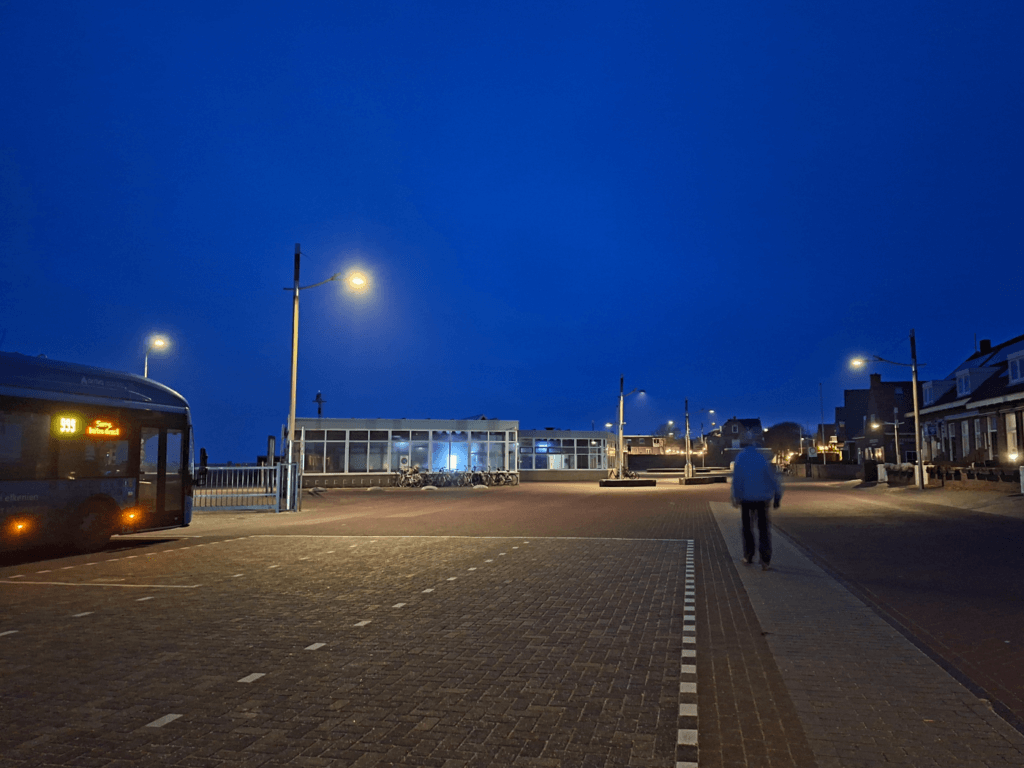
Before we knew it, our wonderful voyage between the two islands was already over. We docked into the harbor of the creatively-named town of West-Terschelling and said goodbye to the captain. After standing on the dike for a bit to experience the sunny day and strong wind, we headed into town. We had one hour to kill before our bus to Formerum departed, since that one is timed with the ferry from the mainland.
Useful stuff? Consider buying me a craft beer!

Donate via PayPal

Sharing is caring!
Similar posts:
 Penang National Park and the Meromictic Lake at Pantai Keracut
 Pandemic in Penang: A Play-by-Play from Two Digital Nomads in Malaysia
 144 Hours in Shanghai: My 5-Day China Itinerary
 Kayak Trip Day 50: Mohács in Hungary to Apatin in Serbia – We Meet Again, Danube
 Traveling in Malaysia during the Pandemic (Another Heckin’ Diary)
It looks like you had such a great time! I can’t wait till it will get a lot warmer and I will be able to go for a walk on the beach! Loved reading your blog!
Hey Sarah, thanks for reading! Slowly, spring is coming. I’m just as excited as you are