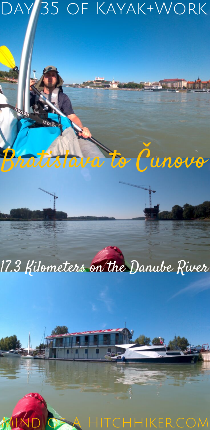
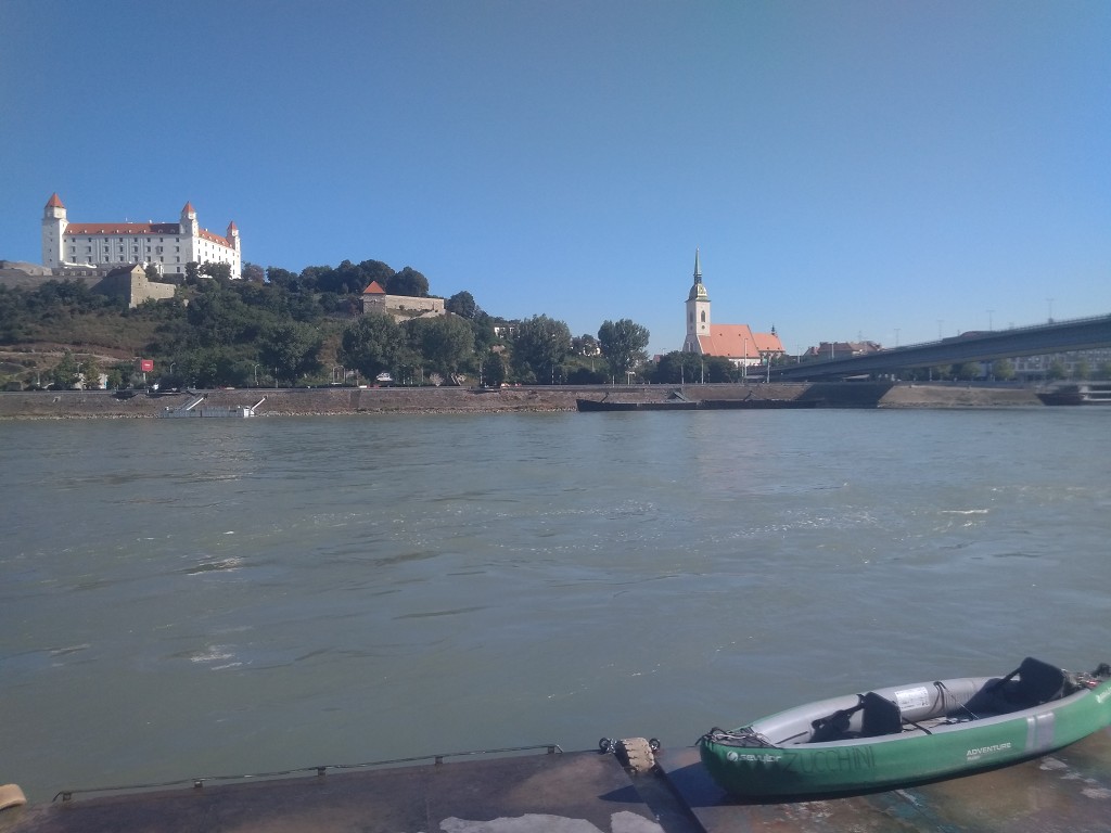
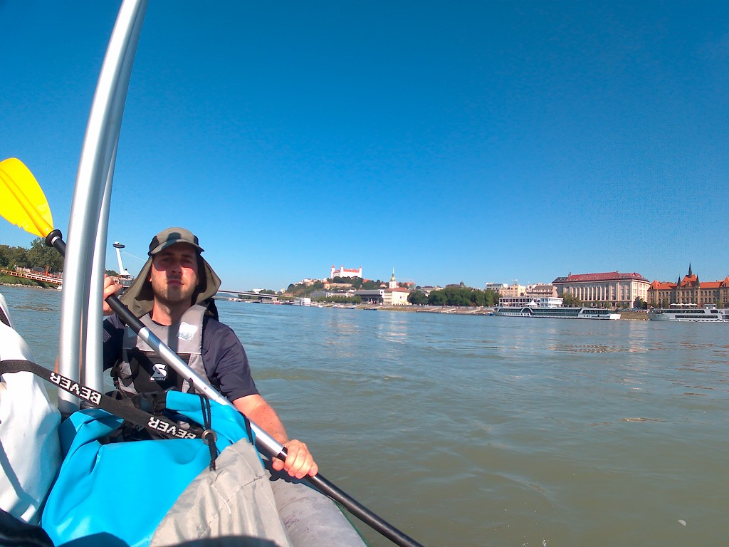
Events in this story happened on Friday the 9th of August, 2019. We paddled our inflatable kayak from Bratislava to the Čunovo Dam in Slovakia. That’s a distance of 17.3 kilometers. At the Čunovo Dam, there’s a water sports center for whitewater canoeing/kayaking. Little did we know that on that day, there would be a sporting event organized by the International Canoe Federation (ICF).
Want to travel the (entire) Danube River in an adventurous way? Join our Facebook group Danube River Source to Sea: Kayak / Canoe / Bike / Hike / Sail to find your community
Our Stay in Bratislava
We stayed in Bratislava for one week. Bratislava was our first stop across the historic West-East division of Europe. Finally, we’re in Eastern Europe!
As with Austria, this was Jonas’ first time in Slovakia. He immediately took a liking to Bratislava as a city. Just three days earlier, we’d stayed in Vienna for one week. Vienna just felt too big to be enjoyed, too expensive to be sampled, and too touristy to be explored. Bratislava, on the other hand, was immediately down to earth.
Our Airbnb neighbored the US American embassy, which was the polar opposite of down to earth; a fancy building completely fenced-off from the pedestrian zone of Hviezdoslav Square (Hviezdoslavovo námestie), a movable crash barrier bollard that pops out of the road next to the entry booth, and heavily armed guards. And if there was any doubt left: that flag.
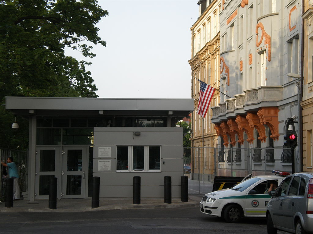
Image sourced from Wikipedia under license CC-BY-3.0. You can barely see the vehicle ramming-proof bollard behind the cop car. I didn’t dare to take a photo of the most trigger-happy people on earth.
We worked a lot from our fancy apartment. Jonas tested the internet speed, which yielded a remarkable 150 Mbit/s. So far, the rule of ‘the further east, the better the internet in Europe’ has held up beautifully. Long gone are the days of sitting in the corner of a room to reach the signal, or paddling through a village without 3G reception in Germany. I managed to finish 8 out of 10 blog posts I had a backlog of, but not without accidentally deleting the videos of day 33 and day 34. I’m still upset about that.
And again, nobody mentioned this in the Airbnb’s listing. The lady who helped us check-in was very friendly and happy to help us move in with all our luggage. One of the reviews read “Better than in the pictures,” which we found to be true. (If you’ve ever used Airbnb, you know that it’s usually smaller and less bright than in the pictures.)
We did a few trips in town, especially after the weekend. The big highlight of our stay was – for me – going up the Slovak National Uprising Bridge (Most Slovenského národného povstania – aka ‘the UFO). As mentioned before, I’d been to Bratislava in 2013 for a half-day on a 10-day road trip. My taste in soviet, modernist, and brutalist architecture was only budding at that time, but I knew I liked what I saw. The fact that this beautiful bridge goes over my favorite river makes my heart beat even faster.
Meeting a Hitchhiker
In Vienna, we’d hosted hitchhiker Nina from Roaming Pencil for a few nights. When she left, she traveled to Bratislava and met up with Samuel Durovcik – also a hitchhiker and native to Bratislava. She recommended us to meet up with him while we were in Bratislava, so we did.
I only briefly interacted with Samuel in a hitchhiking Facebook group in a thread about Belarus. When we went out for beers and Kofola . We had a very enlightening exchange about our experiences in Belarus, especially regarding the tricky registration rules. Perhaps it’s a weird thing to bond over, but the bureaucratic finger wag terrifies us all.
He referred to the big fence around the US American embassy as “the Berlin Wall”, as it’s quite a controversial topic among Bratislavans. When Samuel was young – he’s still young though – the embassy was still unfenced. They fenced themselves off from the outside world after 9/11, creating a big Berlin wall-like gap in Bratislava’s heart. I’m happy to hear the grievances of us mere visitors match the grievances of the locals. Apparently, the US Americans will move their embassy to a more suitable location for paranoia somewhere else in Bratislava in the coming years.
Past the Little Danube
There are quite some speedbumps in the river, so we try to stick to the shipping lane to avoid scraping over them. To our left, the harbor of Bratislava (prístav Bratislava) appears. That’s also where the Little Danube (Malý Dunaj) splits off from the main Danube (Dunaj) to form the biggest river island in Europe. The Little Danube is so little that when it joins with the river Váh, it takes on the name Váh. The Váh spills back into the main Danube at a city named Komárno.

The name of that river island is Veľký Žitný Ostrov, which translates to ‘Great Rye Island’. Most people don’t know it’s actually an island. It’s also incredibly hard to demarcate how big the island is. The best map I found that I can use on my site is this:
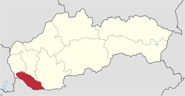
Sourced from Wikipedia under CC-BY-3.0 license
(Other maps I can link to are this, this, and this one.)
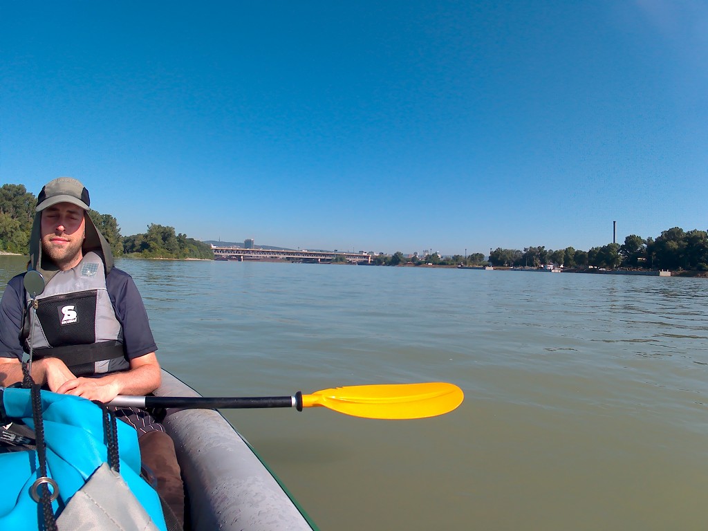
So I was trying to spot the start of the Little Danube in the harbor but had difficulties finding the similarities between the map and the real world. I noticed a kind of weir or lock in the place where the river should start, and then saw that my map had a feature that could be that. So the view wasn’t very spectacular. This also means that to get from the main Danube into the Little Danube by kayak, you’d need to portage around this dam. I have no idea how deep the water is behind it and I sincerely hope it’s not dry as that would make the island a peninsula. For information (in German) about paddling the Little Danube, read about it on Flußwandern.

I felt like the last photo didn’t really show anything, so here’s a glow-up of that picture and my drawing. I hope it helps:

A Future Bridge
Now we really left Bratislava. After a river bend to the right, all we could see was some features of a cityscape and the tall and shapely Kamzík TV tower. The cruise traffic thinned out a bit as we followed the shipping lane into some natural area. There was a bike path next to us on the right-hand side, but we’re not sure if it’s still part of the Danube Bike Path (Dunaj cyklotrasa). Today I learned from Wikipedia that the Danube Bike Path is the most popular bicycle travel route in Europe.
This is the first and last day we paddle only in Slovak territory on the Danube since the next stretch will straddle the border between Slovakia and Hungary for more than a hundred kilometers. As the urban landscape disappeared, I started paying attention to different things along the river. For example, there are no more signs every 100 meters on the river banks on both sides. In Austria, the viadonau organization religiously put these numbers on both sides of the shore for the entire 330-kilometer Austrian leg. What’s left in Slovakia are the full-kilometer signs. They can be a bit difficult to read.

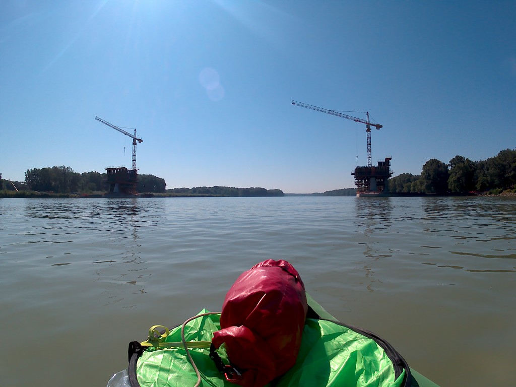
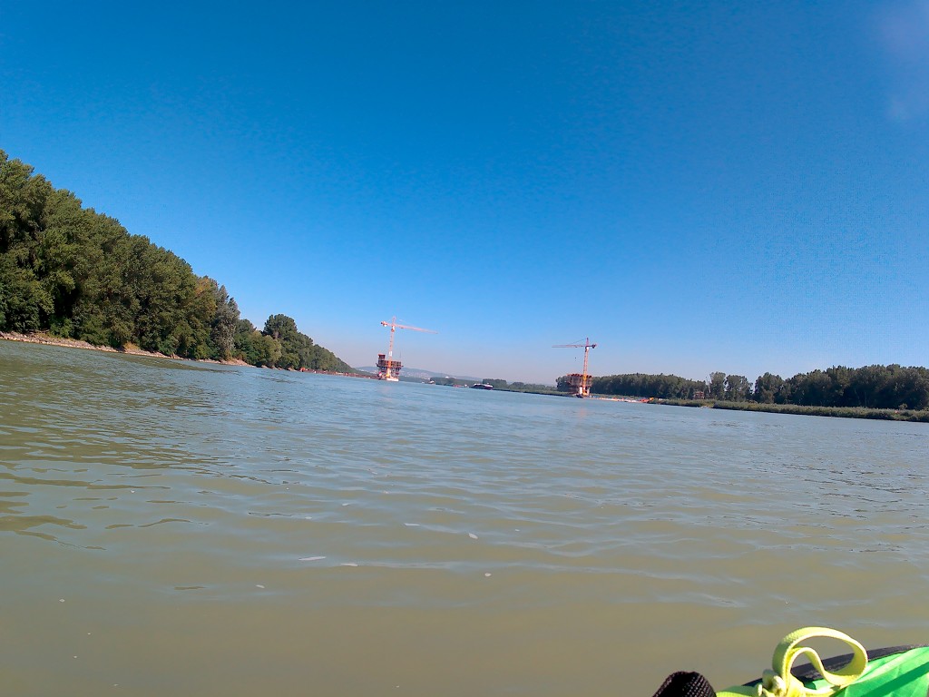
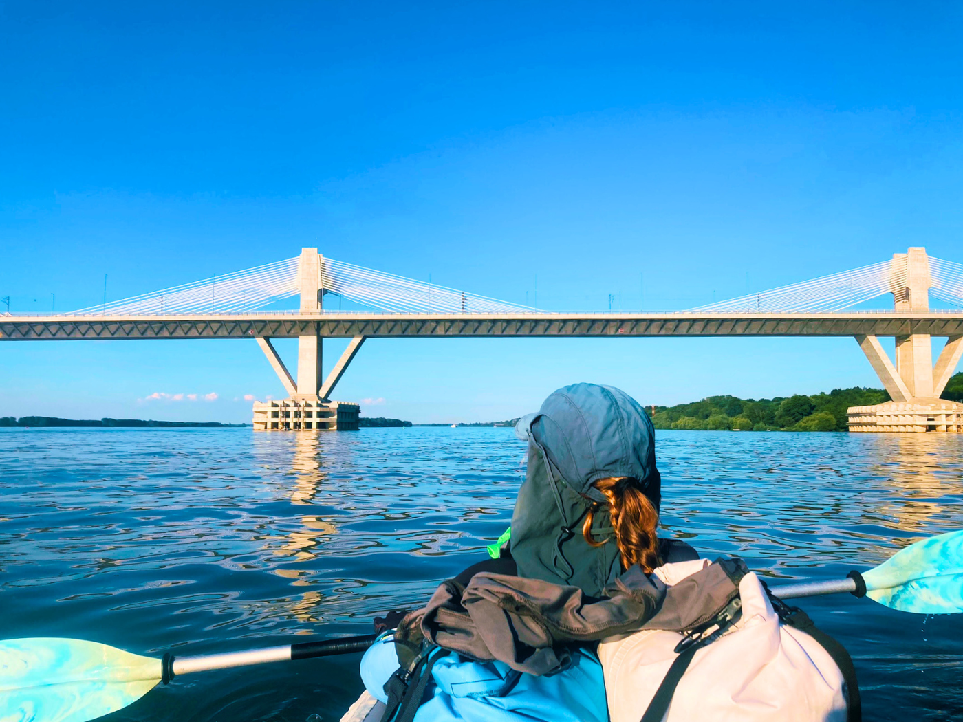
A man in a fishing boat overtook us from the back and then started fishing from his boat in a flowless sidearm called the Ostrov Starý Háj (old grove island). I’m back into paddle mode and all warmed up. In the distance, I see the two towers of a future bridge named the D4. My OSM map already has this planned motorway between Jarovce and Ivanka Sever. They started construction in 2017 and should finish in 2022. I think it will make bypassing Bratislava a lot easier for hitchhikers in the future.
I’m not sure what kind of bridge it will be (cable-stayed or just pillars) or what it will be named. One article that shows some of the designs refers to it as the “zakliaty most“, which means either enchanted or cursed bridge. I wonder what made them name it like that.
We’re approaching the construction site and deal with many ships, including the boat with the school kids we encountered in Bratislava and the loathed A-Rosa cruise ship. They wave, we wave back. Another double-barged pusher boat overtakes us from the back and then turns around right before the future bridge.


The bridge’s two pillars are under construction and they put buoys in the water to guide the river traffic away from bumping into them. The two pillars have each their own crane. As we get closer, we can hear the sounds of drills and male physical labor over the whooshing water. Both before and after the bridge are a lot of weird currents to deal with. It doesn’t make us very nervous, but we’re very alert.
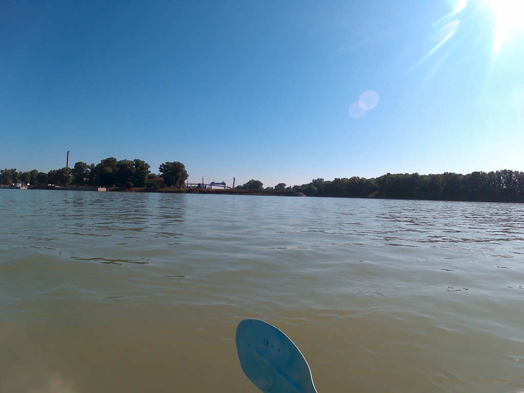
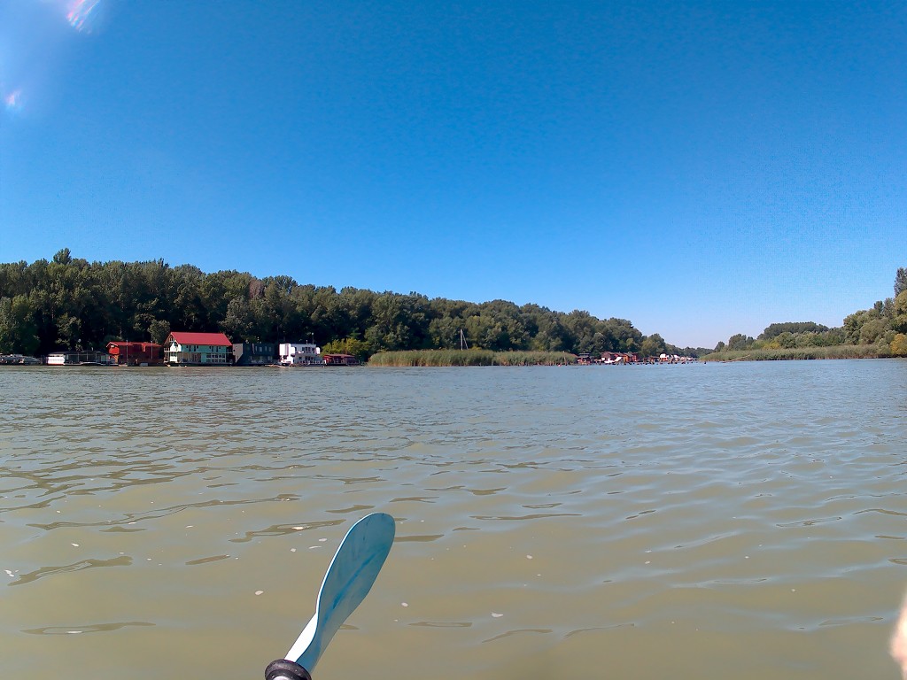
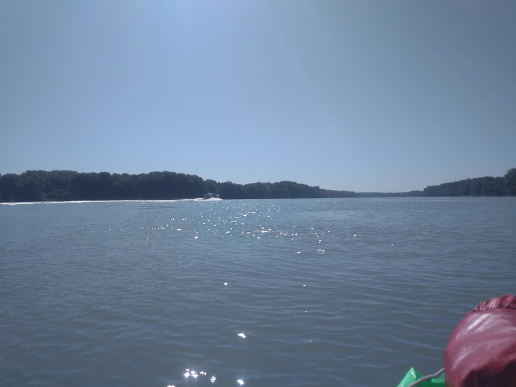
Right after passing the construction site, we pass a tiny harbor. Out of nowhere, an orange powerboat of pricetag ‘oligarch’ overtakes us from the back and causes quite a stir. We’ve not yet seen a powerboat of such caliber. By the time I snap a pic, it’s already far away and hard to identify.
Spotting the Čunovo Dam
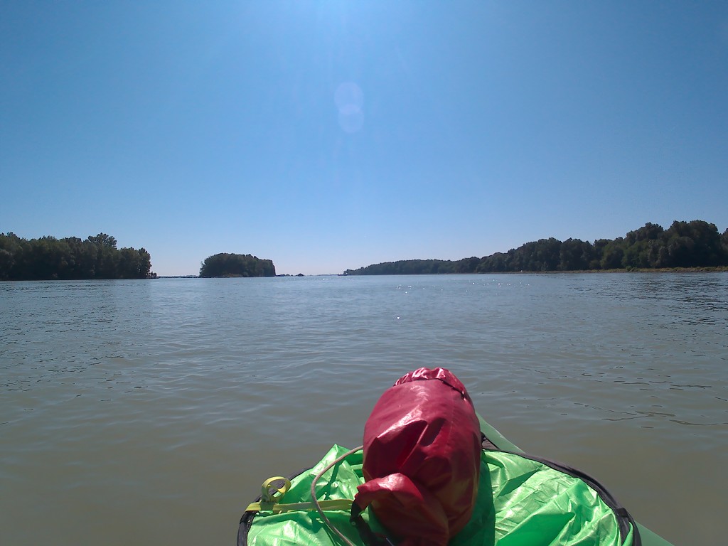
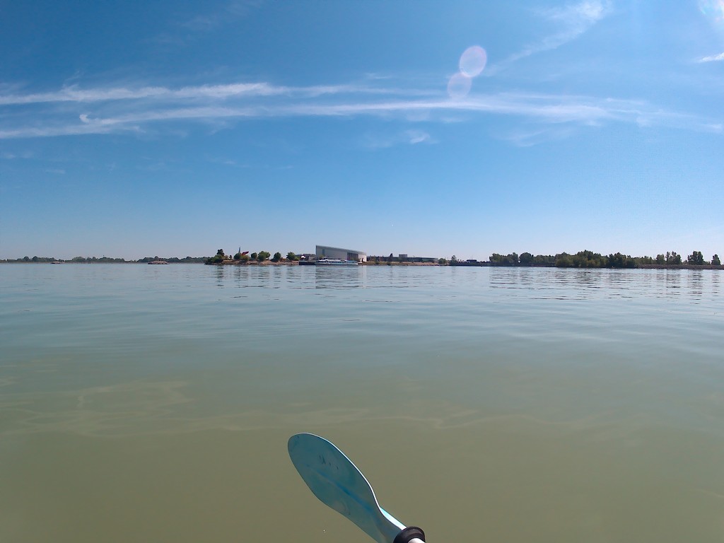
It’s only 10:20 when we see the landscape flattening and widening suddenly. We’re now really in an area sometimes referred to as the ‘Middle Danube’. On such a bright day, we can look very far into the distance. The speed of the Danube has slowed down since the construction site. We’re definitely entering the area flattest area of the Danube: the Pannonian Basin. The Pannonian Basin is itself further subdivided into the Danubian Lowland and the Danubian Flat. It’s also the hottest part of the Danube we’ll encounter on the entire river.
In the Miocene and Pliocene Epochs (23 to 2.5 million years ago), the Pannonian Basin used to be a shallow sea called the Pannonian Sea for the latter 9 million years. Due to glacial differences, the sea eventually became a lake, until it dried up and turned into a forest–steppe biome. This steppe biome is part of the larger Eurasian Steppe, which is part of the ancient overland Steppe Route, a precursor trade route of the later Silk Road.
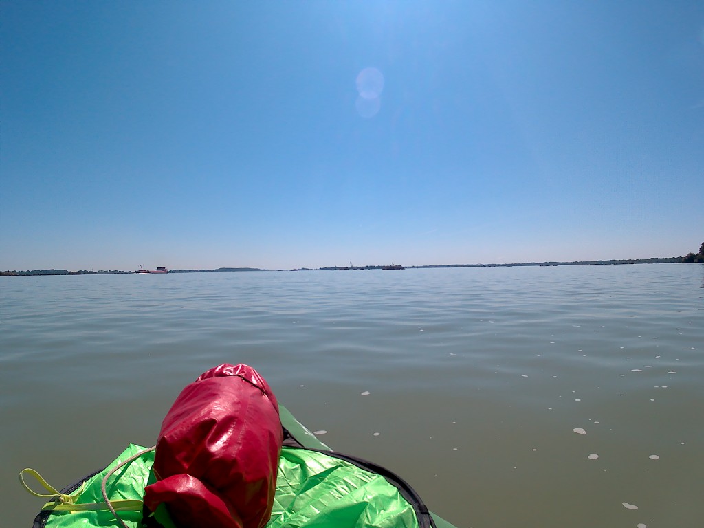
The river widens and the color changes. It looks like it’s quite shallow. I try to explain to Jonas what I’m feeling with this strange perspective of the river. It’s like when you build something really tall in Minecraft and you see the horizon change. It still looks weirdly similar, but you somehow know you’re on some kind of precipice. The flatness here also feels like it will lead to something sinister like falling off a building in Minecraft and losing all your XP. A sole pusher boat travels downstream and a big cargo ship travels upstream.
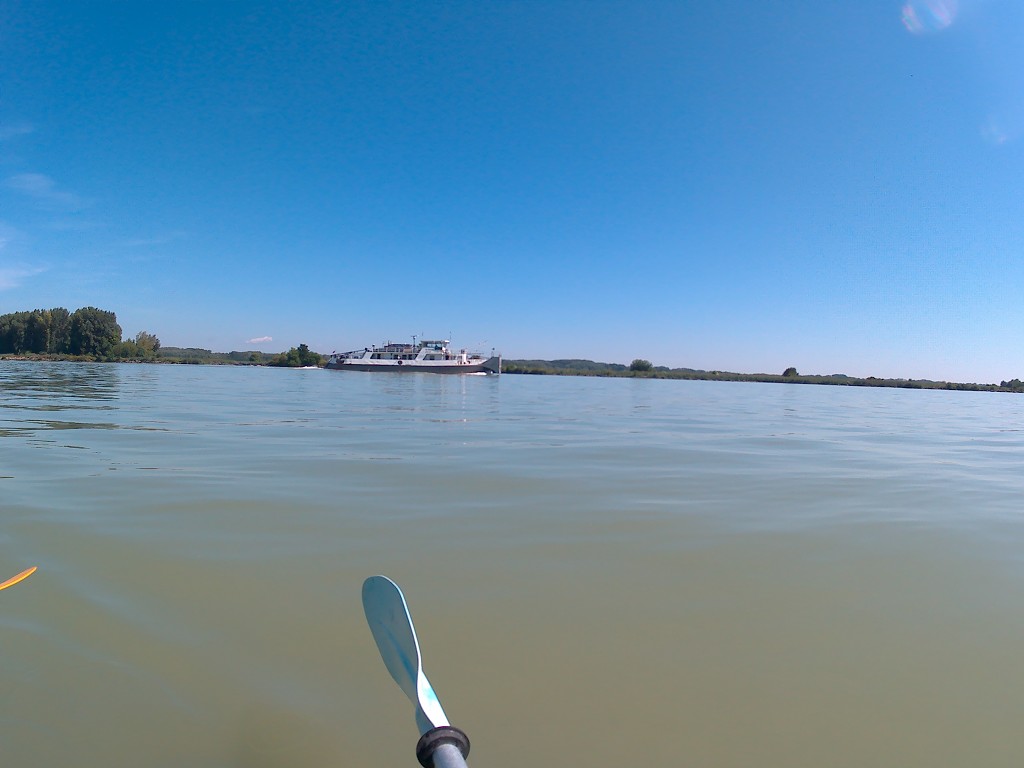
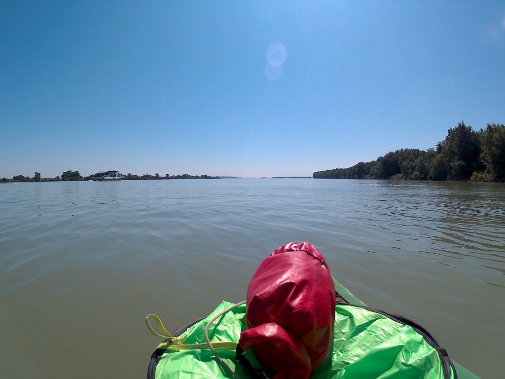
But the flattening is only one reason for the slowing of the current. The Čunovo Dam and the faraway Gabčíkovo Dam are also responsible. The Čunovo Dam is our target this day. We’re chatting about arriving earlier than our record arrival time of 11:30 on the day we paddled from Passau to Engelhartszell. It probably won’t happen, though.
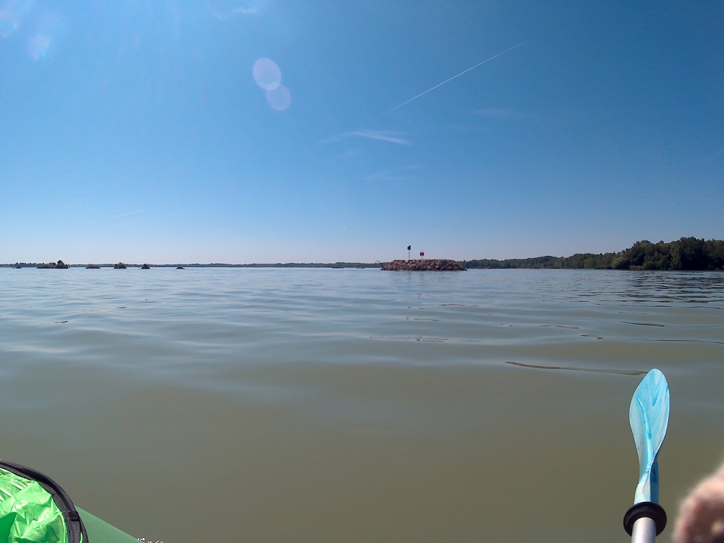
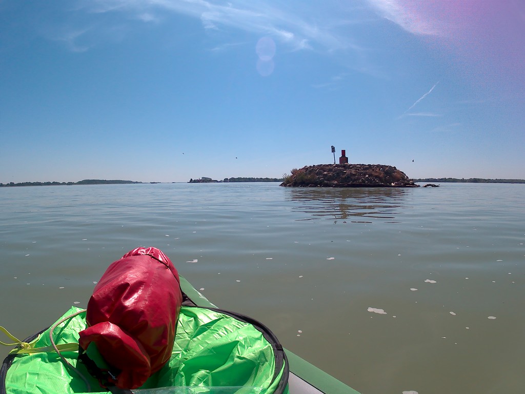
There are many artificial islands with riprap, buoys, and kilometer signs on them. They follow a dotted pattern to indicate the shipping lane all the way to our Čunovo Dam. They will continue left, we get out on the right. The flatness makes it really hard for us to see exactly what’s going on. It’s kind of the same optical illusion as forced perspective or occultation. I’m not sure which, but I know that on the last stretch of the day, we never knew whether it would be another 10 kilometers or just two without revealing the answer with our map.

Arriving at the Čunovo Dam
At 11:20, our final approach became clear. Just slightly left of the big protrusion was our destination. The illusion disappeared and everything became clear. Behind some crane was our accommodation for the night. We approached calmly towards the pier where many motor yachts and sailing boats were moored. It’s also where the map told us the ferry between the Čunovo Dam (at Modrá Čajka) crossed the Danube to a town called Hamuliakovo.
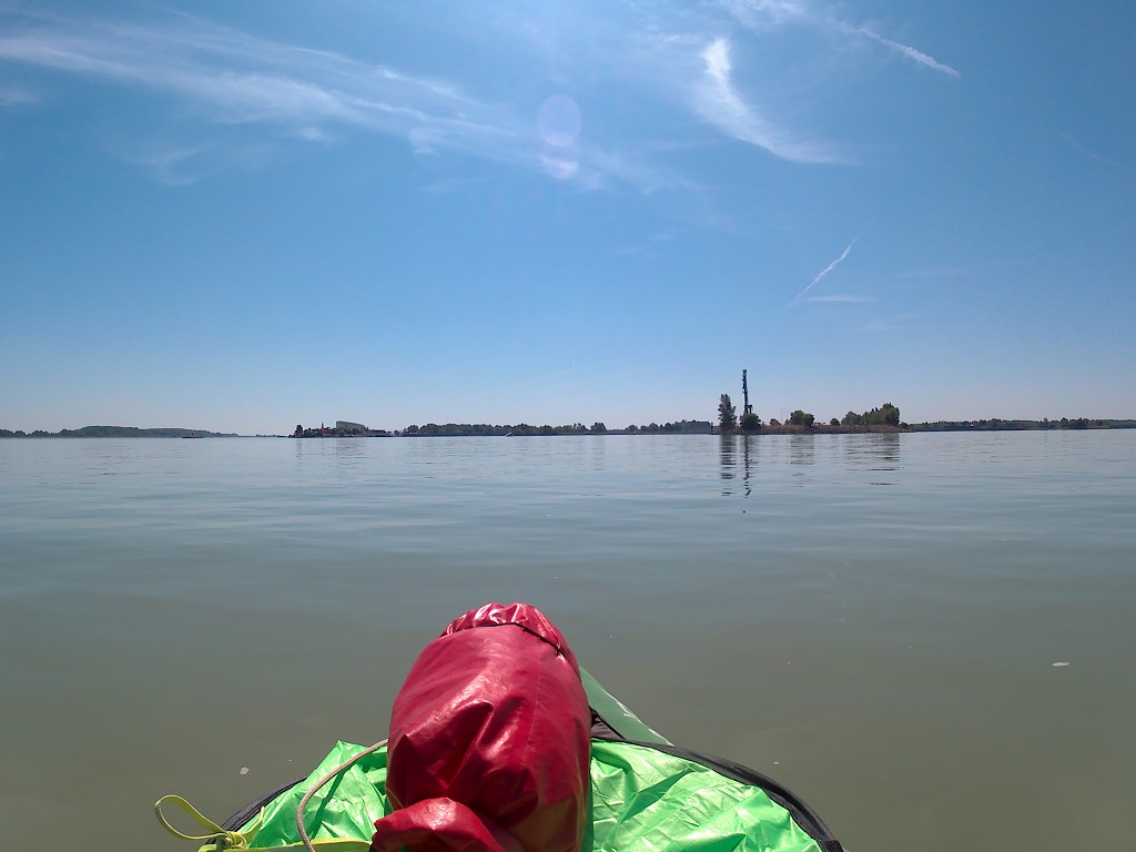
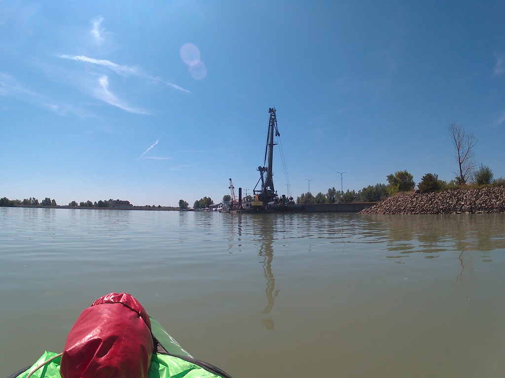
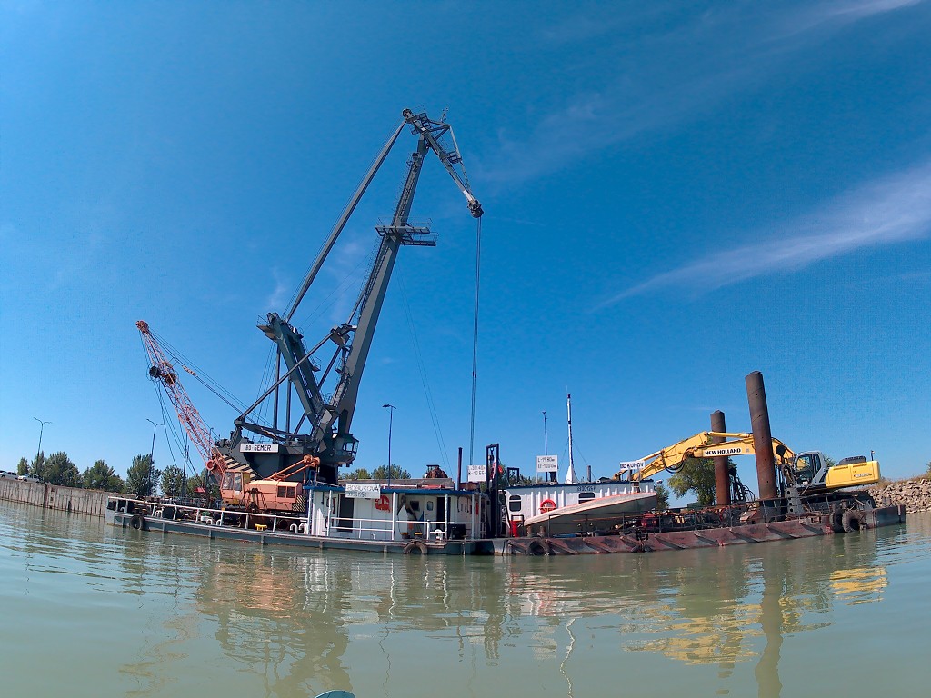
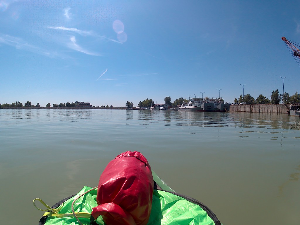
We landed at the pier at 11:30. No record. A man and a woman offered to help us get out of the boat, but we politely declined. Their sailing instructor arrived and they sailed off. Jonas climbed out of the boat and tried finding the people who run the place. I lifted some stuff on the land and packed it up to take it to our room. We booked it on Booking.com and it was already paid.


Jonas returned with the good news that he already had access to our room. The room was also just around the corner. He took some stuff twice and put it there. I lifted the boat out of the water and we stripped it. I put some more stuff in the room, which was a small four-bed dormitory with a private bathroom. One window had a good view of the Danube. The whole structure was a big boathouse stably floating on a few pontoons. The top floor was a restaurant and there were several bridges onto the mainland. The mainland had another restaurant, which was more like a grill house with a beer garden.
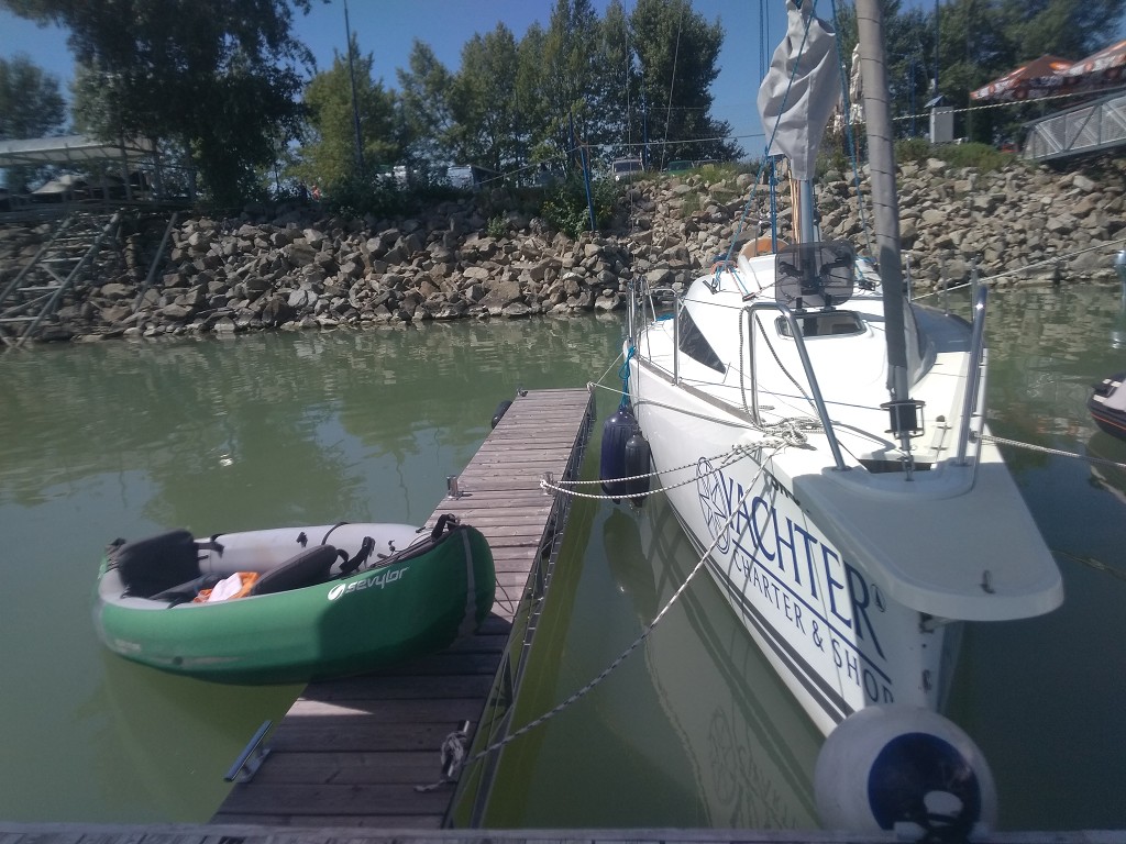
We moved the boat to the main floating dock, deflated it slightly, and put it out to dry. Then we went up to the beer garden to have a beer and watch our boat dry. It took a while for us to get a key. After the beer, we went into the room and changed clothes to go for a hike. It was still very early.
Čunovo Watersports Center (Areál Divoká Voda Čunovo)
We were looking for a launch spot for our boat on the lower end of the Čunovo Dam. On the map, it showed some kind of canoe area. Very interesting. Jonas read somewhere that it’s for whitewater kayak and canoeing.
When we arrived at the fenced-off area. Some water from the Danube got diverted into a canal to end up in this special zone. We saw some young people in funny-shaped canoes or kayaks with either single paddles or double paddles. They carried their boat to the starting stairs where the water was still calm. Then they started paddling down the artificial whitewater course. It’s full of obstacles like rocks, big drops, and many ‘weird currents’ as we describe them.
It was weird to look at; they weren’t going for speed, but rather to hit all the slalom gates. Jonas figured that the green ones are the ones they had to paddle through from the front, and the red ones they had to first pass, then paddle back upstream to go through it from the back. Who makes these rules?
Neither of us is big on sports, so we really don’t understand most of these rules. Also, we’ve been trying hard to avoid going over rapids and drops since Day 1, not intentionally seeking them out. Kayak traveling versus whitewater kayaking are two completely different things, of course. It does look super thrilling, though, and I’m willing to learn it someday. But yes, this is the most exciting stretch of the Danube River, if you will.
Once we were at the stadium seating, something happened and there were numbers on the board. People started screaming and there were people that acted like coaches. Turns out this wasn’t just a practice session. Today the Čunovo Watersports Centre (Areál Divoká Voda Čunovo) was the site of the World Championship Canoe Slalom, organized by the International Canoe Federation (ICF). That’s why we couldn’t book more than one night at our place of stay!
We watched the event a little bit and decided that no matter how cool it is, we can’t really understand what’s happening. Besides, we still need to find a place to relaunch our boat from tomorrow. So we walked to some site that looked promising. On the way there, we crossed over the ‘boat lift’ – which was unfortunately out of order. It would help the competitors back up to the starting level of the water via the return canal. Very cool feature.
There was a slipway not far from the boatlift. We liked it, but I really wanted to check out one more site. We walked back to the main road at the dam and went outside the fence to the area where the kayak slide was supposed to be (in German “Bootsgasse“) The kayak slide looked more like a fish ladder and was very much out of order. Downstream from that, there was a funny small area where we could potentially relaunch our boat. This place was a shorter hike from our hotel and wasn’t behind a fence that might or might not be locked on our morning of departure. In my mind, Jonas and I agreed that this second spot was the better place.
Sunset at Modrá Čajka
We got back to our floaty hotel/restaurant and napped really hard for a couple of hours. There was no point in getting our laptops out since we only stayed here for one night. This saves us a lot of unpacking and repacking.
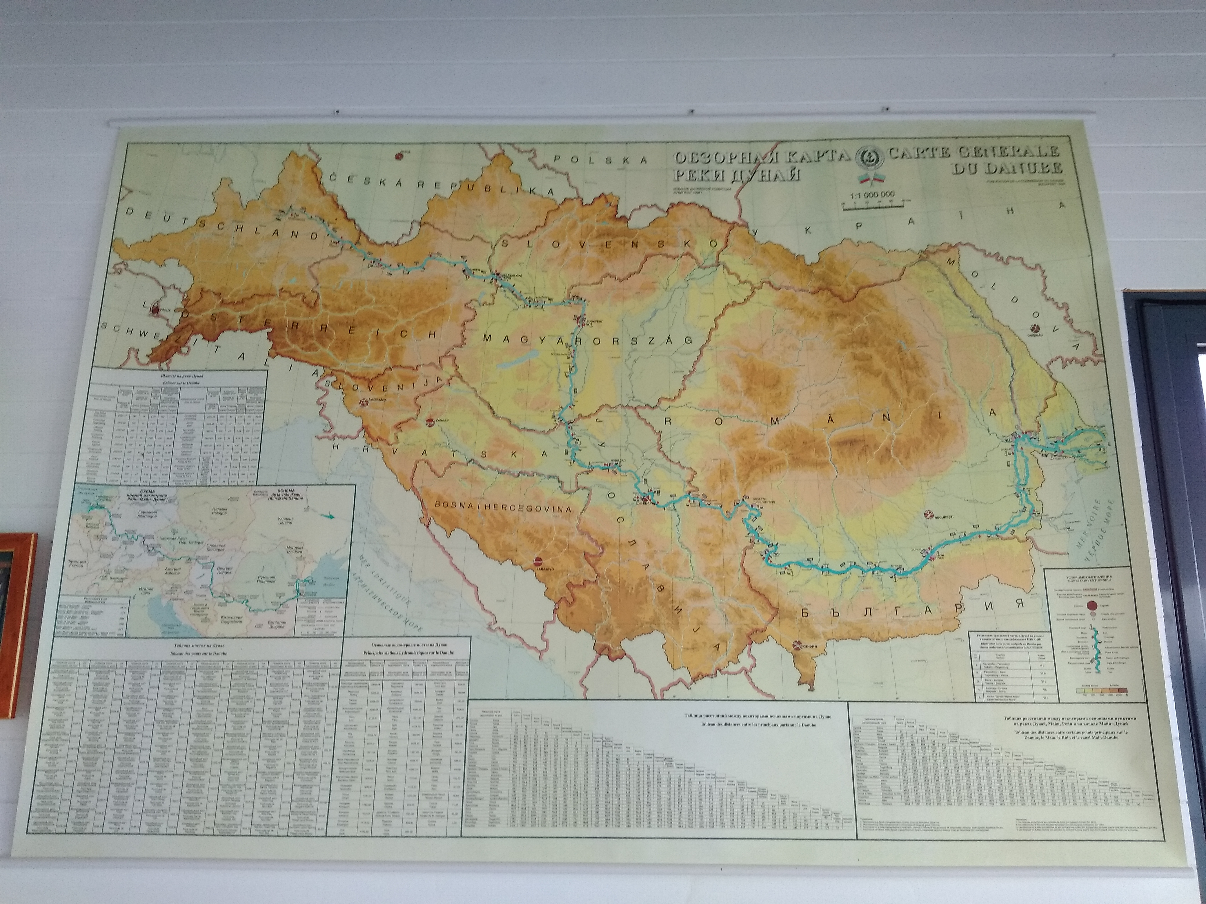
In the evening, we went upstairs to the restaurant of our hotel Modrá Čajka (Blue Seagull). The restaurant had a very cool map of the entire drainage basin of the Danube River from 1998 in Russian and French. I kind of obsessed over it. After food and a beer, we walked to the riverside to watch the sunset over the Little Carpathians and still the Kamzík TV tower. We really haven’t gone far from Bratislava.
The Čunovo Dam is also where the Mosoni-Duna (i.e. ‘Moson-Danube’; Duna is the Hungarian name for the Danube) begins. That river takes a big detour through Hungary before it rejoins the main Danube again in Gönyű, a town we’ll also visit. Tomorrow, we’ll partly enter Hungary; a few kilometers after the Čunovo Dam, the right-hand shore of the Danube becomes Hungarian territory while the left remains Slovakia. We’ll also paddle through the Danube Floodplains protected landscape area (Dunajské luhy), which is only on the Slovak side of the river. We’ll need to bring a lot of water as it will be 35°C and we’ll go freecamping for the very first time.
Good Read? Please Share!







this article is very useful, thank you for making a good article
Thanks for writing this lovely comment! 🙂