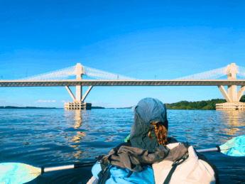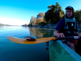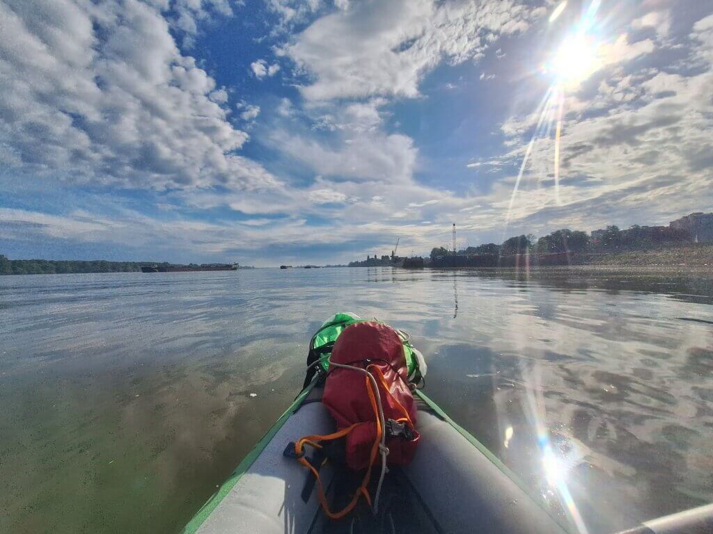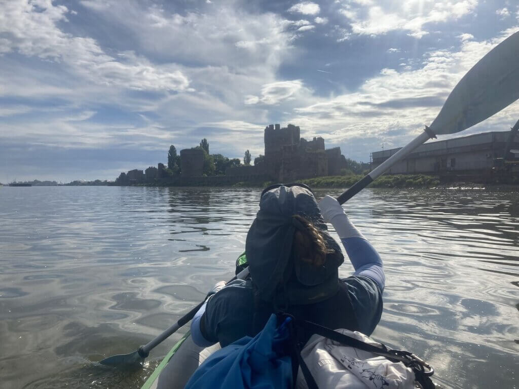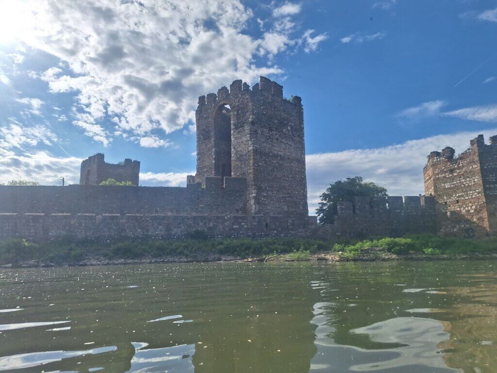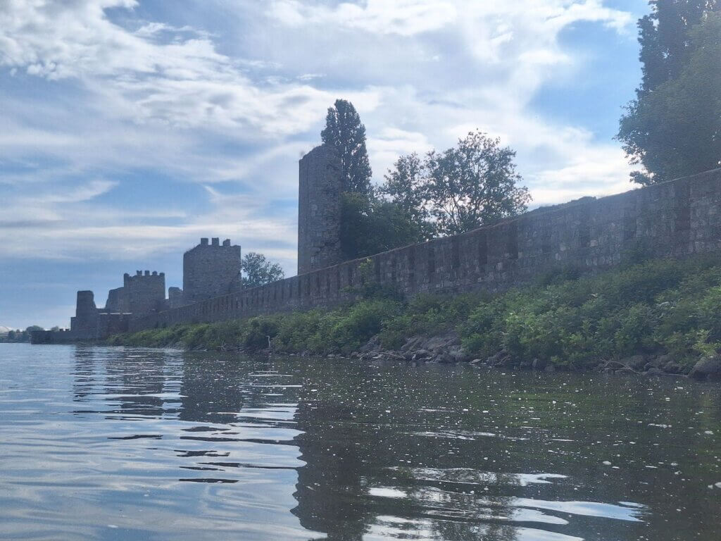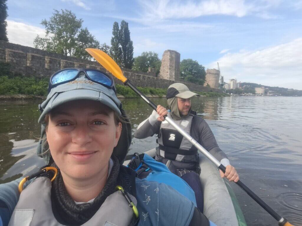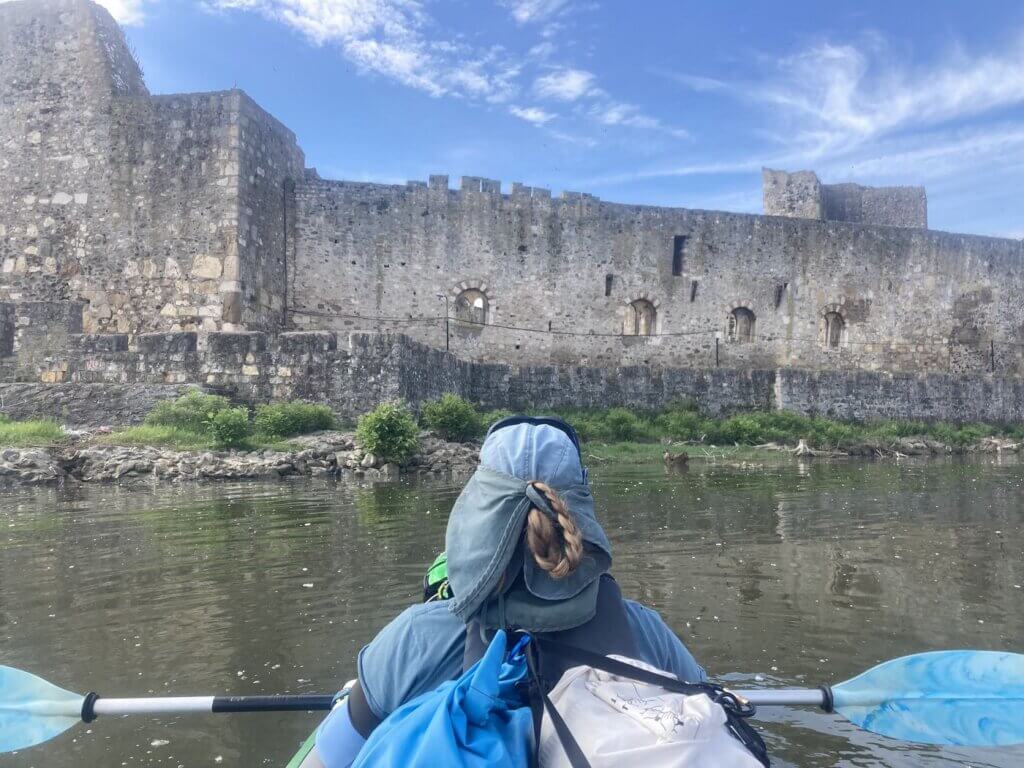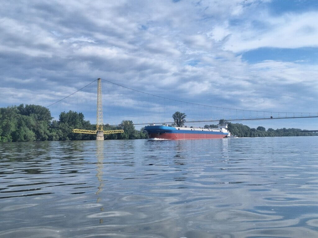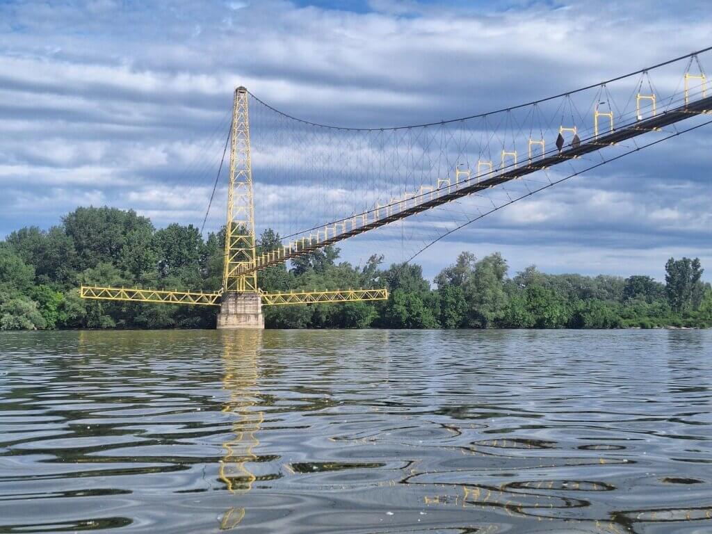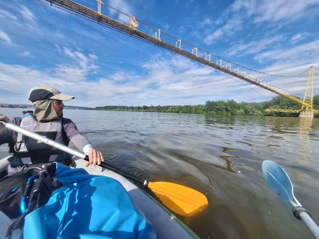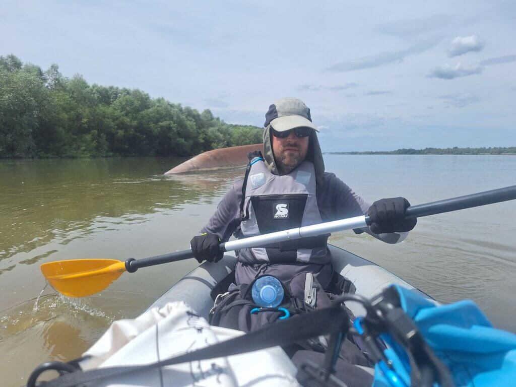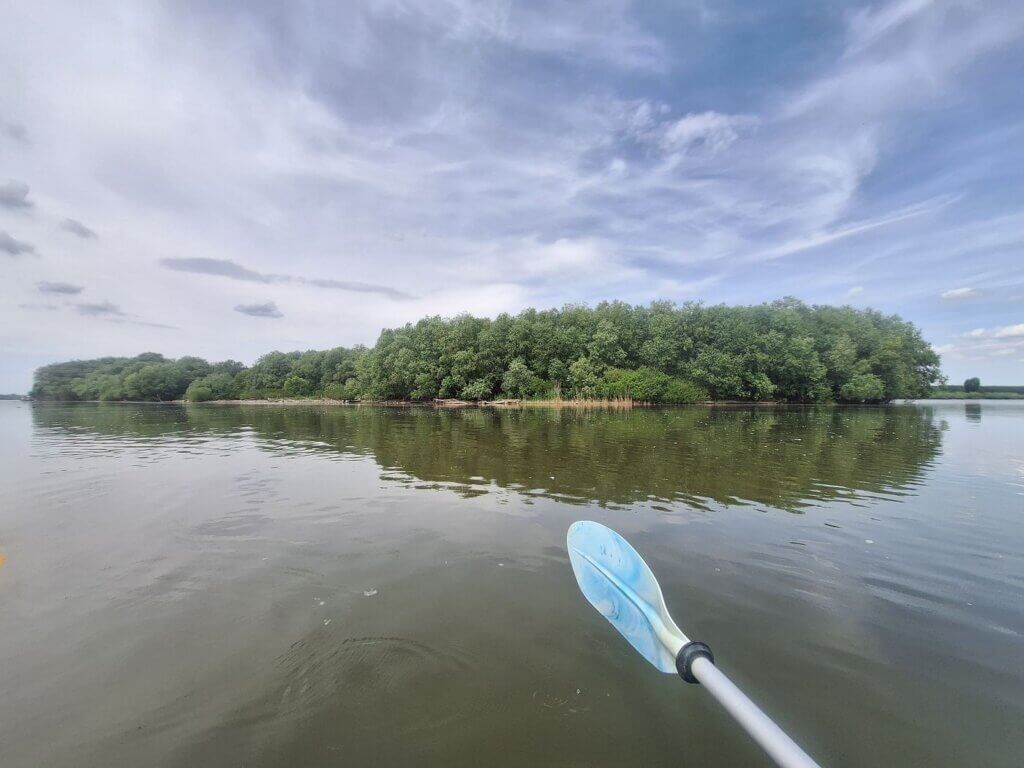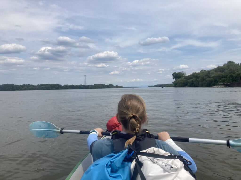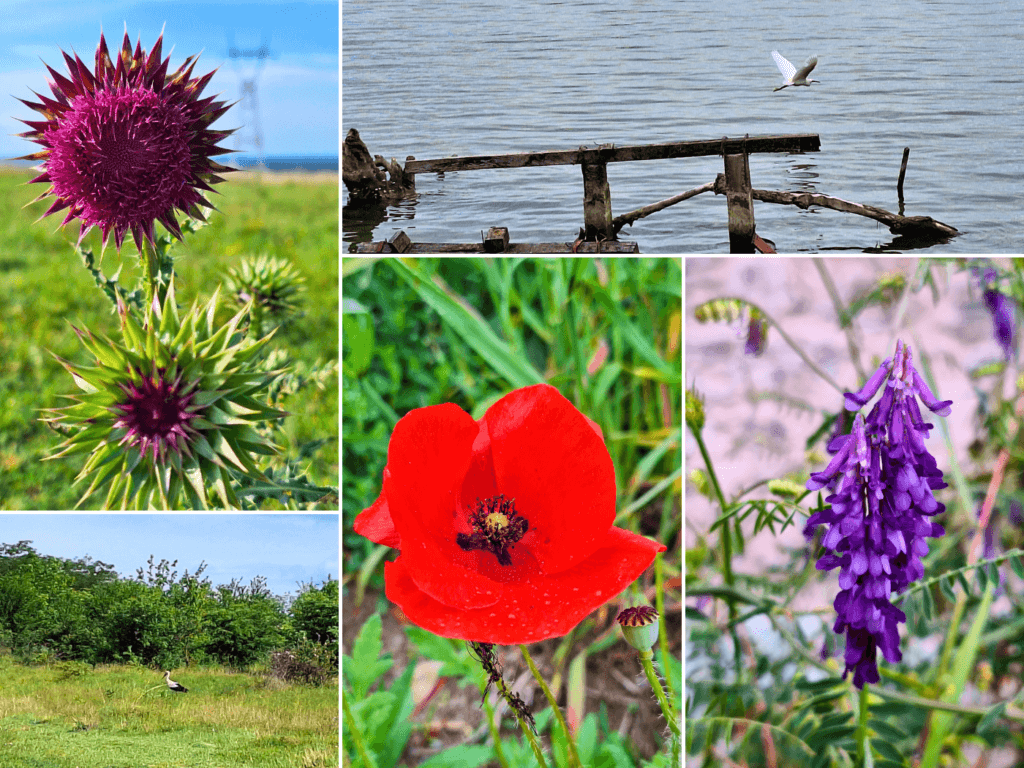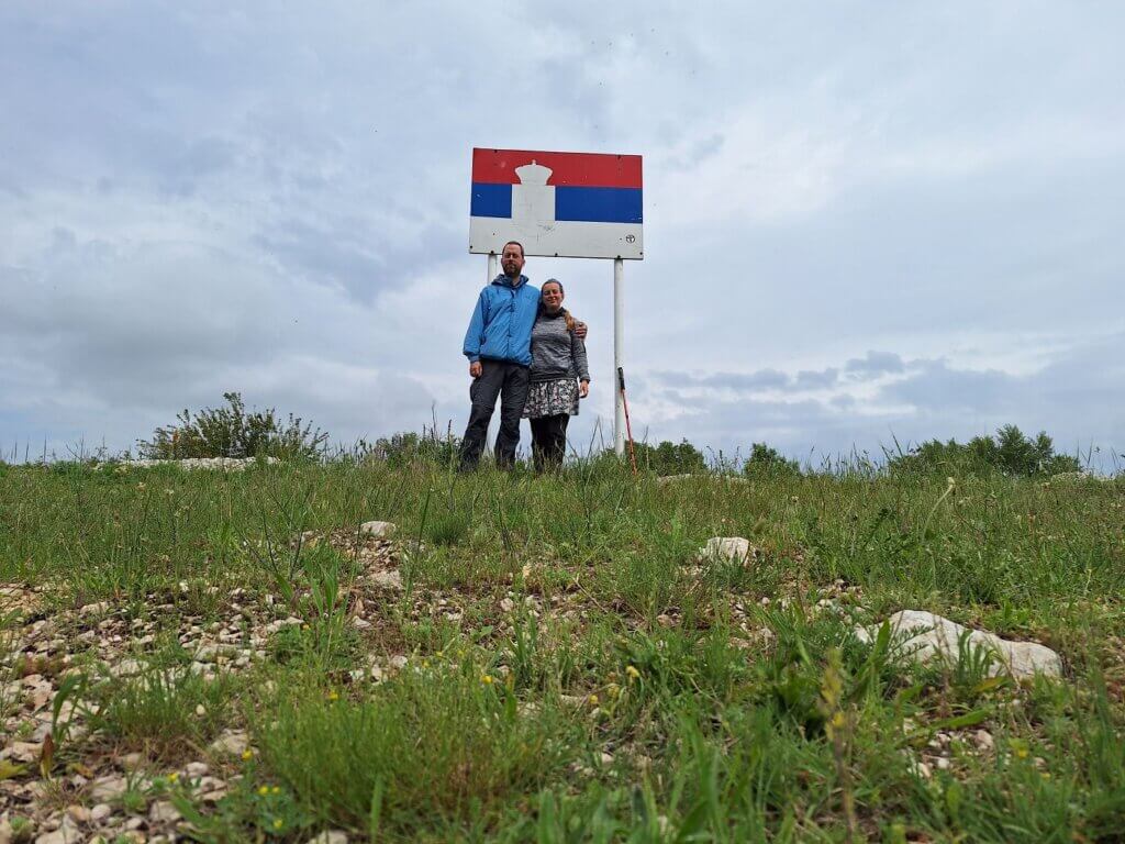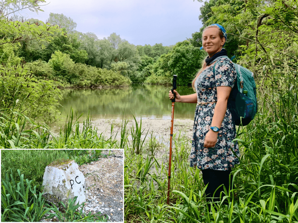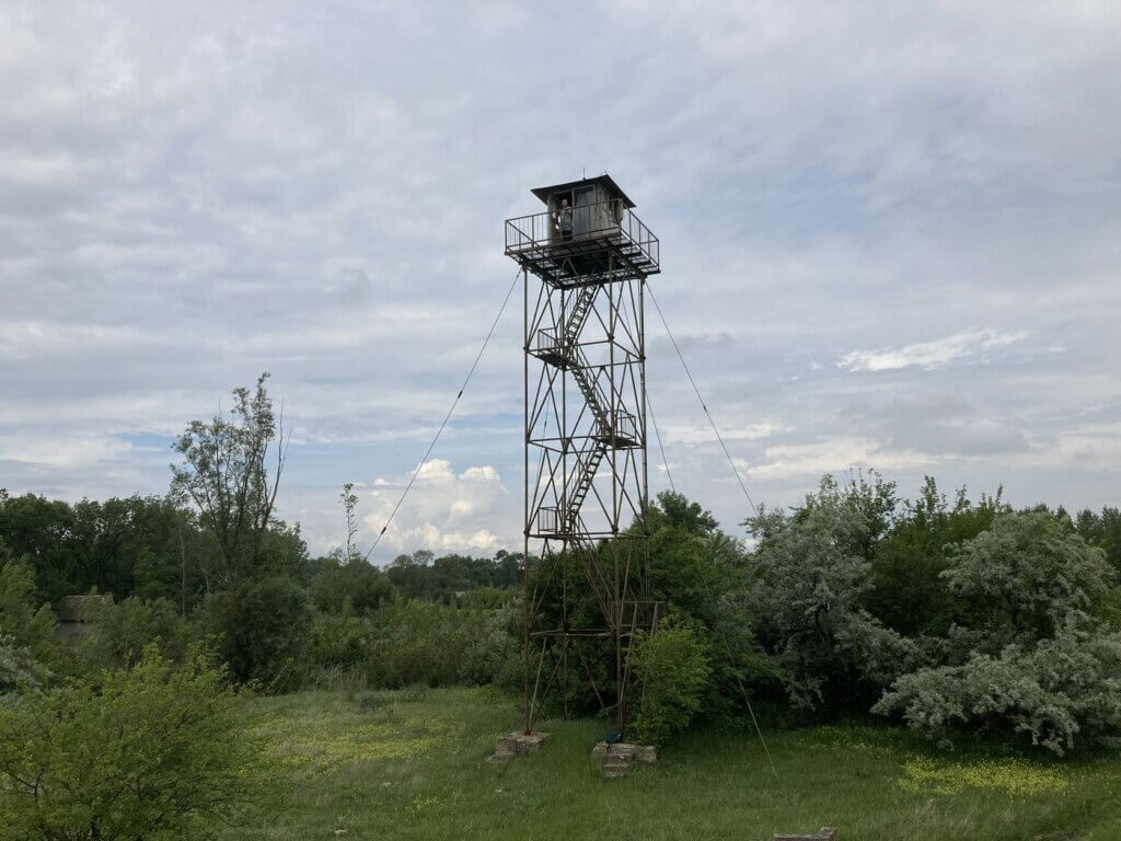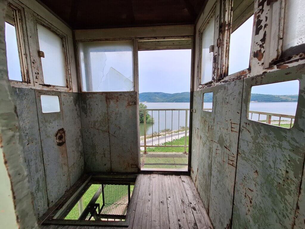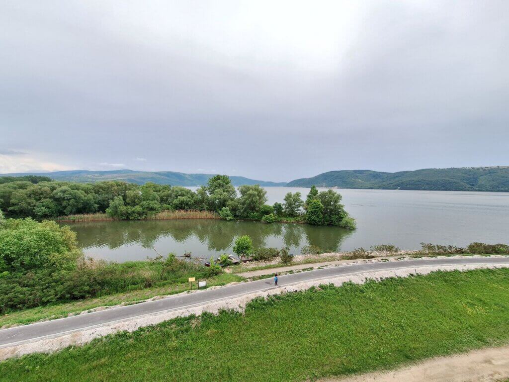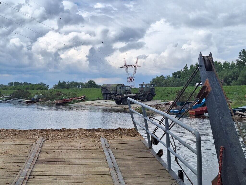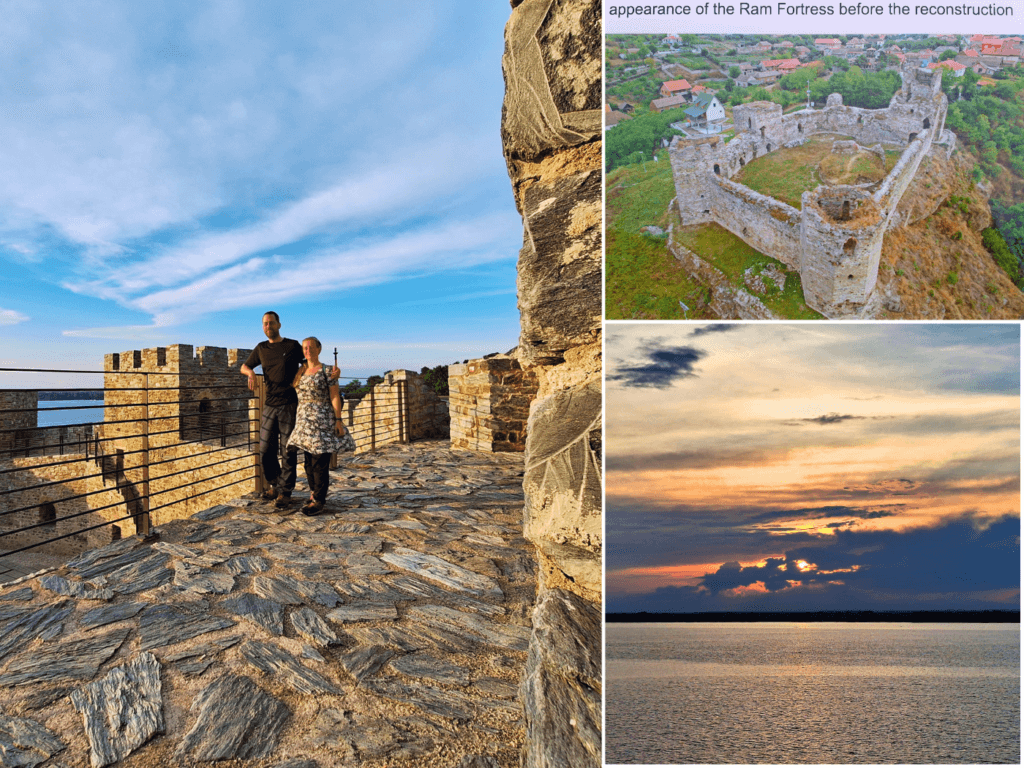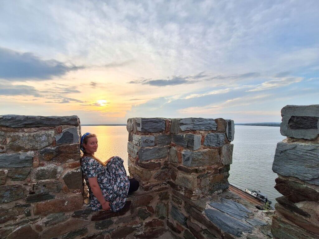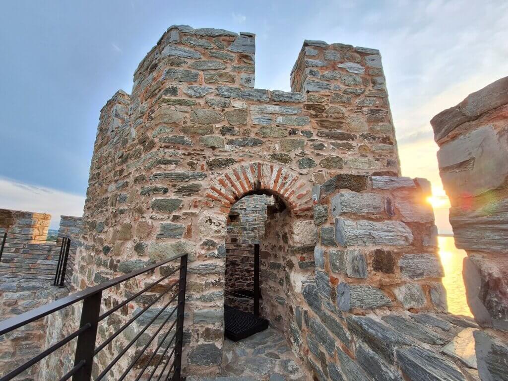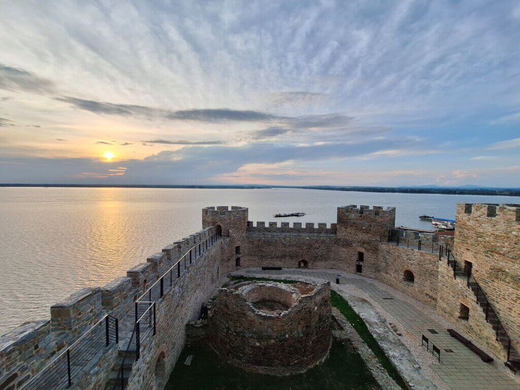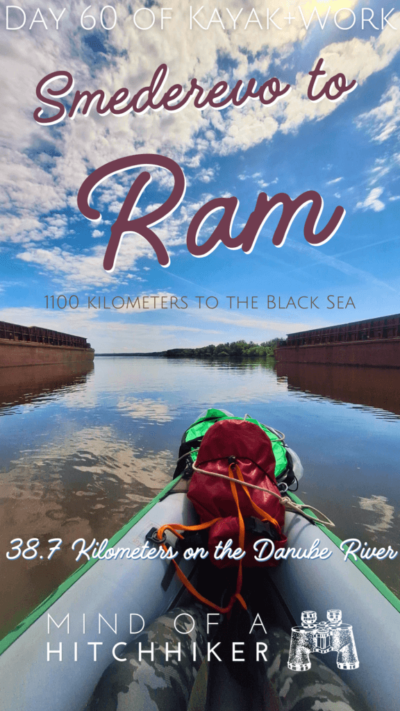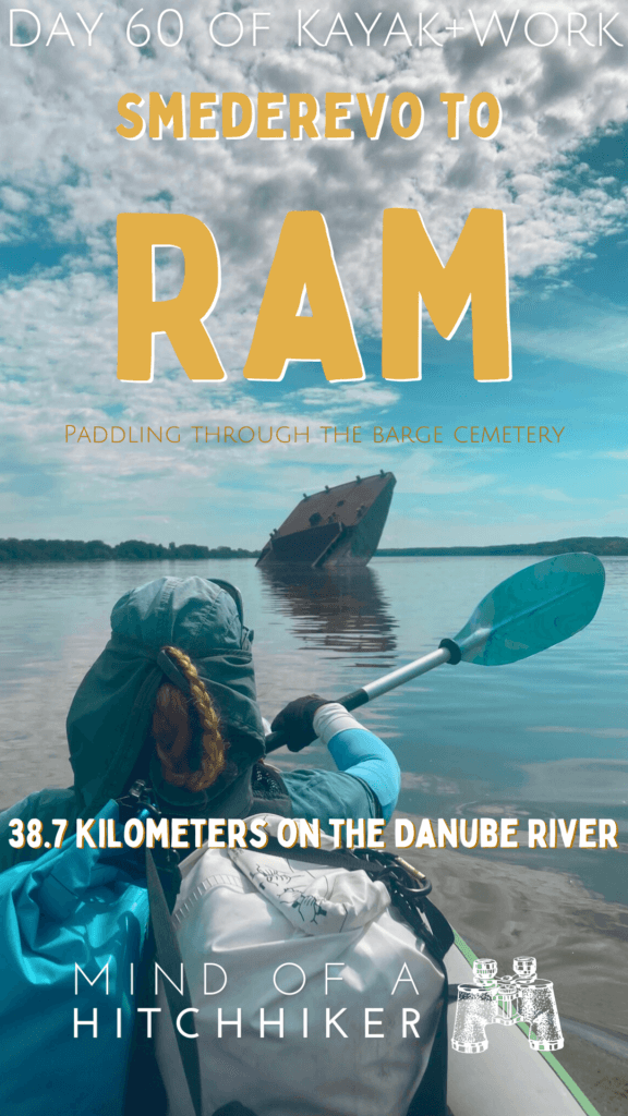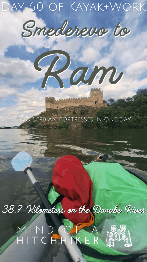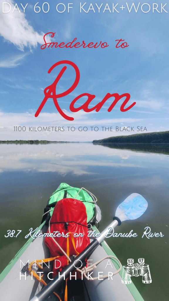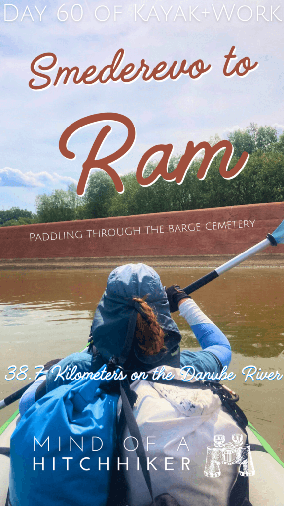
We paddled from Smederevo to Ram in Serbia on the 7th of May, 2024. This was our 60th day of kayaking the Danube. We are now entering the border area between Serbia and Romania.
Want to travel the (entire) Danube River in an adventurous way? Join our Facebook group Danube River Source to Sea: Kayak / Canoe / Bike / Hike / Sail to find your community
Contents
Leaving Smederevo for Ram
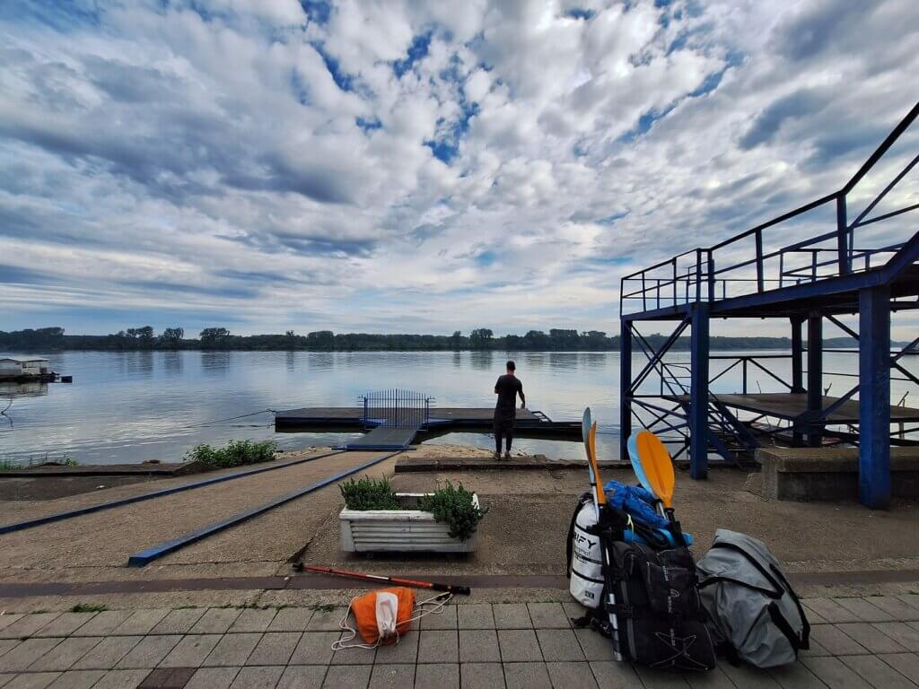
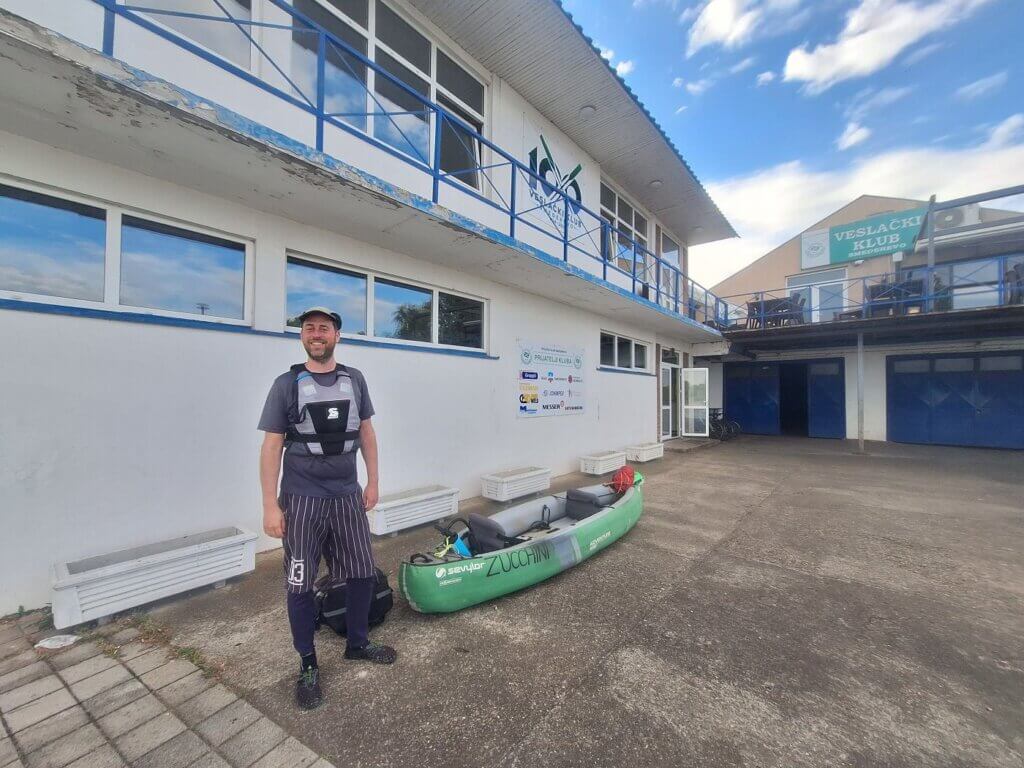
We left the apartment in Smederevo and walked to the rowing club. Once there, we started unpacking Zucchini and inflating her. Some kids showed up in sports gear. And then more and more kids showed up. They’re probably members of this rowing club and they have a practice today.
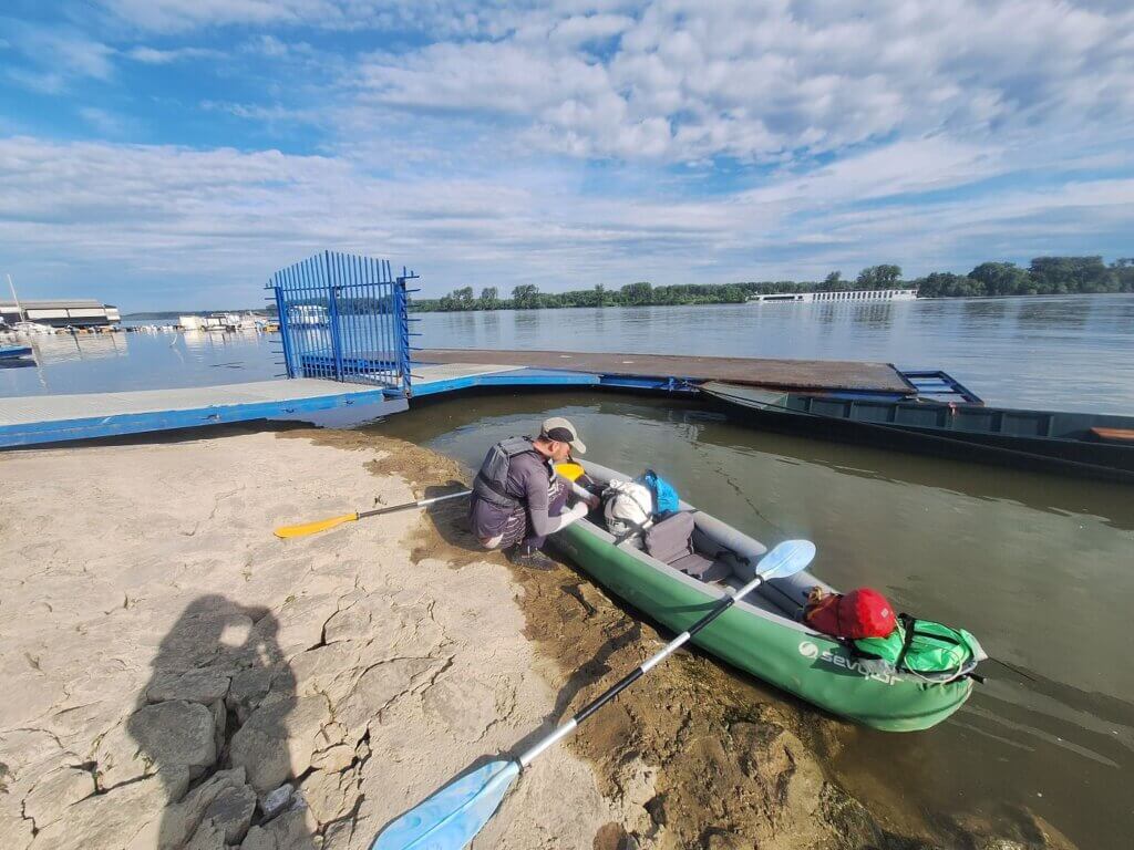
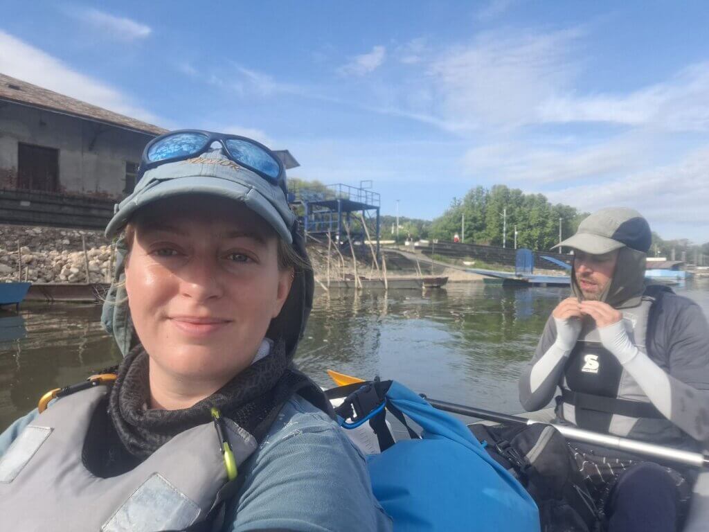
We finished setting up Zucchini, and we even took our time by making a little vlog for Jonas. We had secretly hoped that they’d open the gate so we can sneak into the Danube via their beautiful slipway. But everything they did took an excruciatingly long time. We were gone and on the water before they opened the gate. Starting time to kayak from Smederevo to Ram: 8:13.
First, we had to get past some of the moored barges past the international passenger (cruise) terminal of Smederevo. There was a surprising lot of activity this early in the morning. One guy on a cargo ship indicated to us to go further out into the Danube because he was leaving or turning his ship around, also honking his boat horn. We did so until the coast was clear and we returned to the right embankment to paddle closely to Smederevo Fortress.
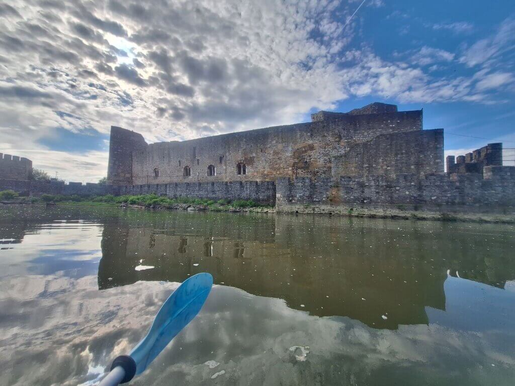
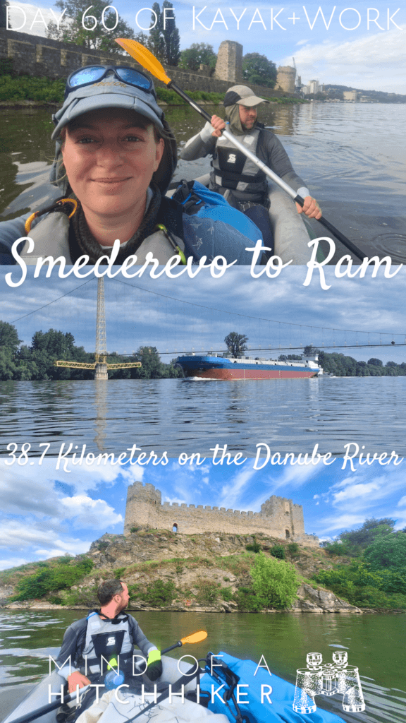
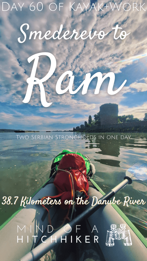
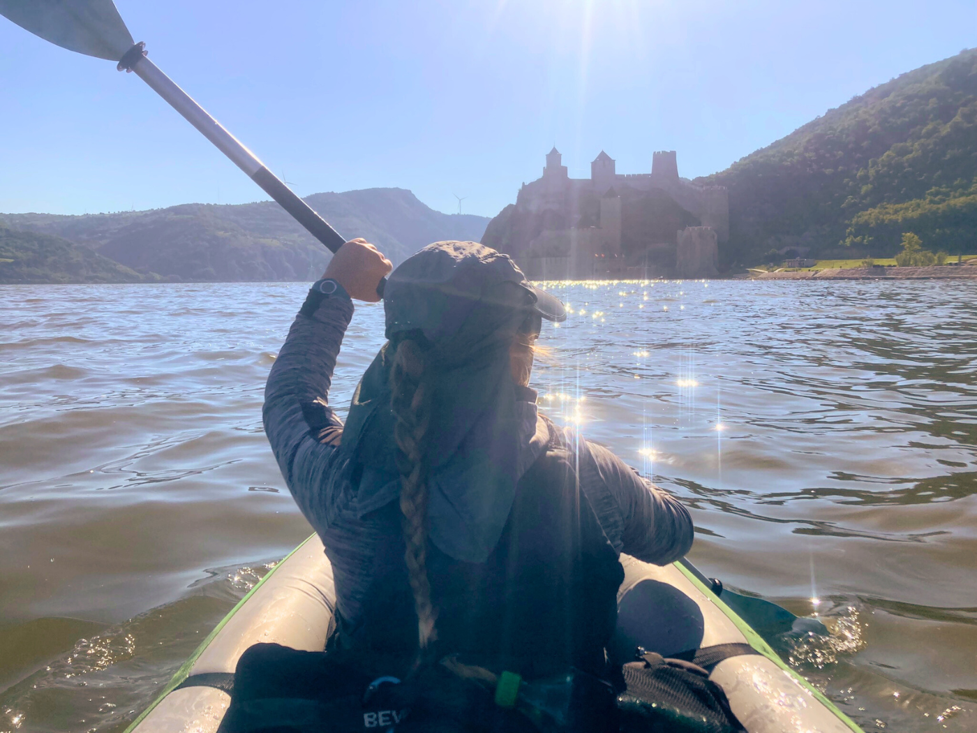
At the fortress, we took some photos on the calm water with the strong morning sun. It’s very cool to see the fortress from this side as well. Though our accommodation in Smederevo was just meh, we will have good memories of this city for its nice fortress and cafés. And little did I know: this was (probably) the last place in Serbia where I had craft beer.
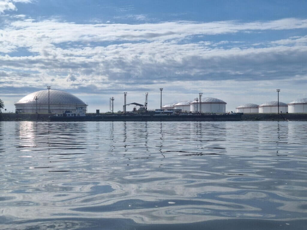
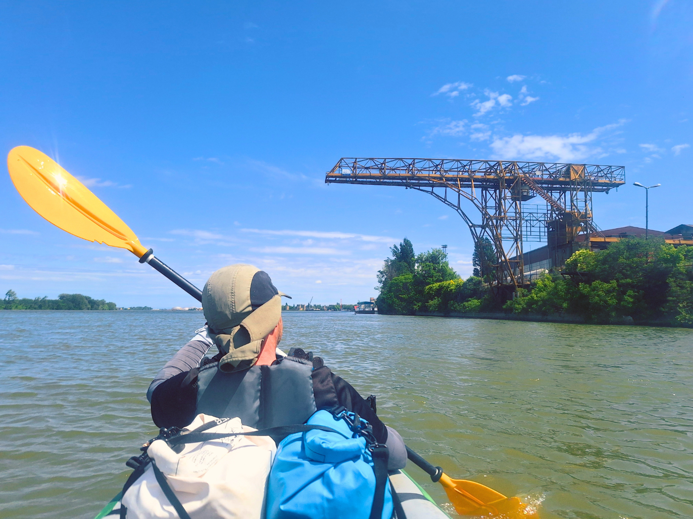
After the confluence of the dead Jezava River (a former distributary of the Great Morava River), the industrial area of Smederevo began. There’s a large oil and gas storage facility and so many anchored barges. Jonas wanted to go around them all the way on the left in the shipping lane, but I thought we should weave between them carefully on the right. When one ship that was anchored started to move upstream, turn around in front of us, and plop into the shipping lane to go downstream, I knew he was right.
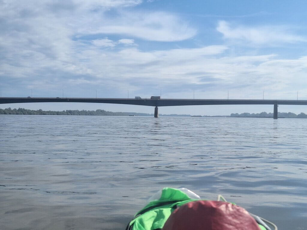
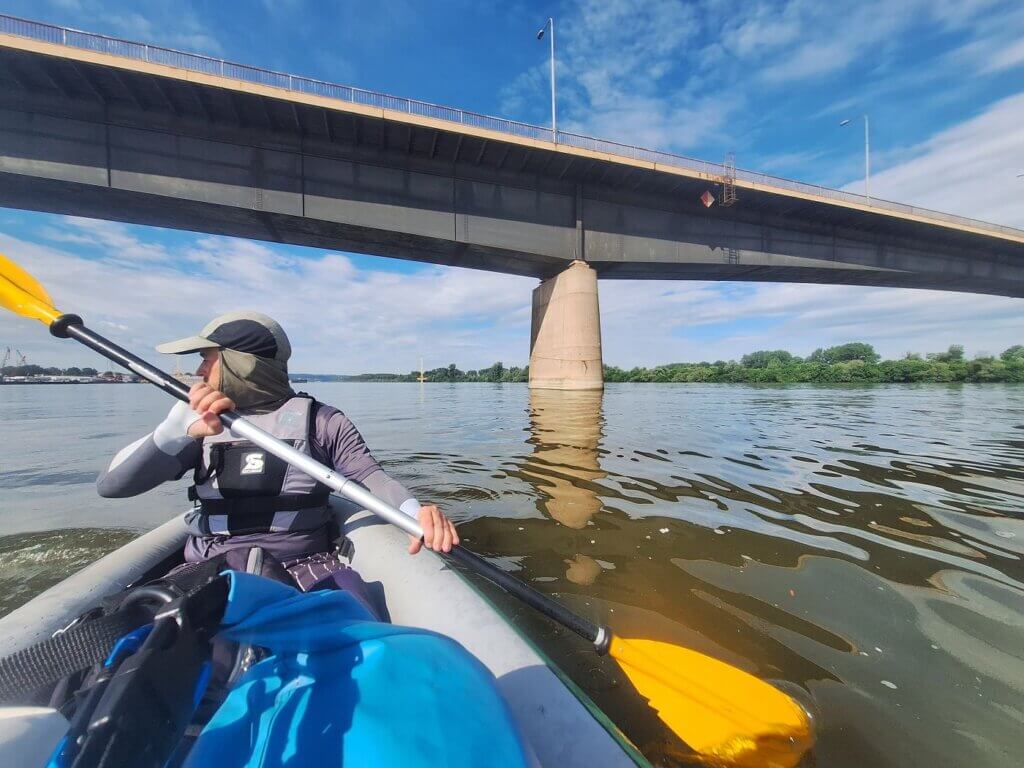
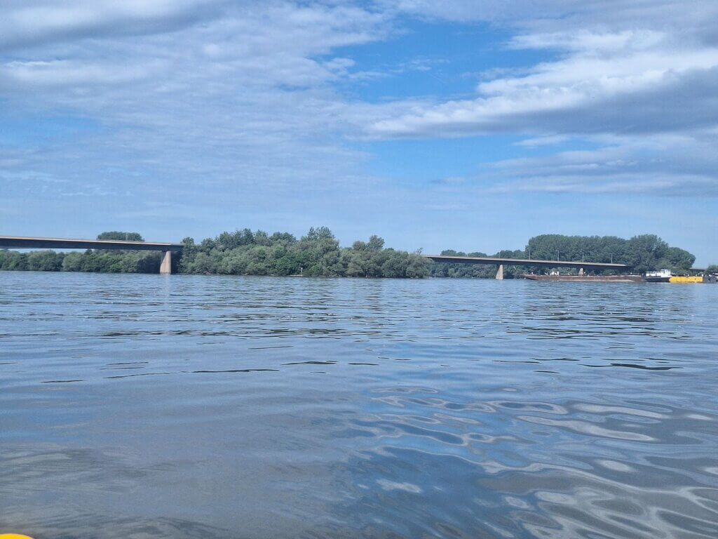
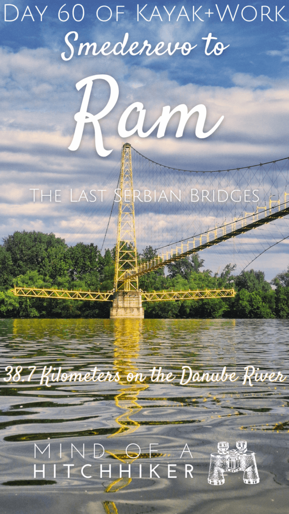
We paddled under the gas pipeline bridge at 8:53 and a little later under the road bridge between Smederevo and Kovin.
That was it, the last fully Serbian bridge across the Danube. Opened in 1976, bombed in April 1999, and reopened in December 1999. The section that touches the downstream tip of Smederevska Ada was dropped by the bombing. There’s apparently a plaque on the refurbished bridge that reads:
“Since the beginning of the world, people have been divided into builders and destroyers.” We remember only the builders forever.”
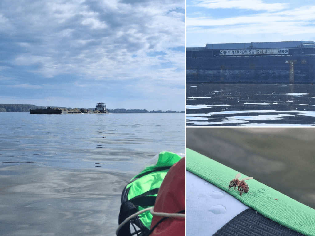
After the bridge, I also put on my sunglasses against the strong glare of the water. It still took a while before we’d left the biggest barge parking lot we’ve ever seen on the Danube. Seriously, there were even barges from Galați in Romania near the Danube Delta. Until 9:21, exactly, right before we got parallel to the city of Kovin on the other shore. Though it has an entrance via river, I never saw the town.
I moved a little in my seat to make myself more comfortable, but the upper part of my seat completely deflated itself. Shit. The embankment here is full of branches and no good places to land, so I adjusted my seat straps and kept paddling. A bee had landed for a long rest and I had to gently move her to my red dry bag as she was in the way of my strokes.
Sunken Barge + Great Morava Confluence
In quite some discomfort because of the seat, we kept paddling while the Danube turned from northeast to east. We’ve seen so many swans on the Danube. We’ve usually had friendly relations with them, but in this area, we weren’t even that close to one and it aggressively raced towards us to scare us away. We went more out onto the river and gave the swan some space. The swan wins.
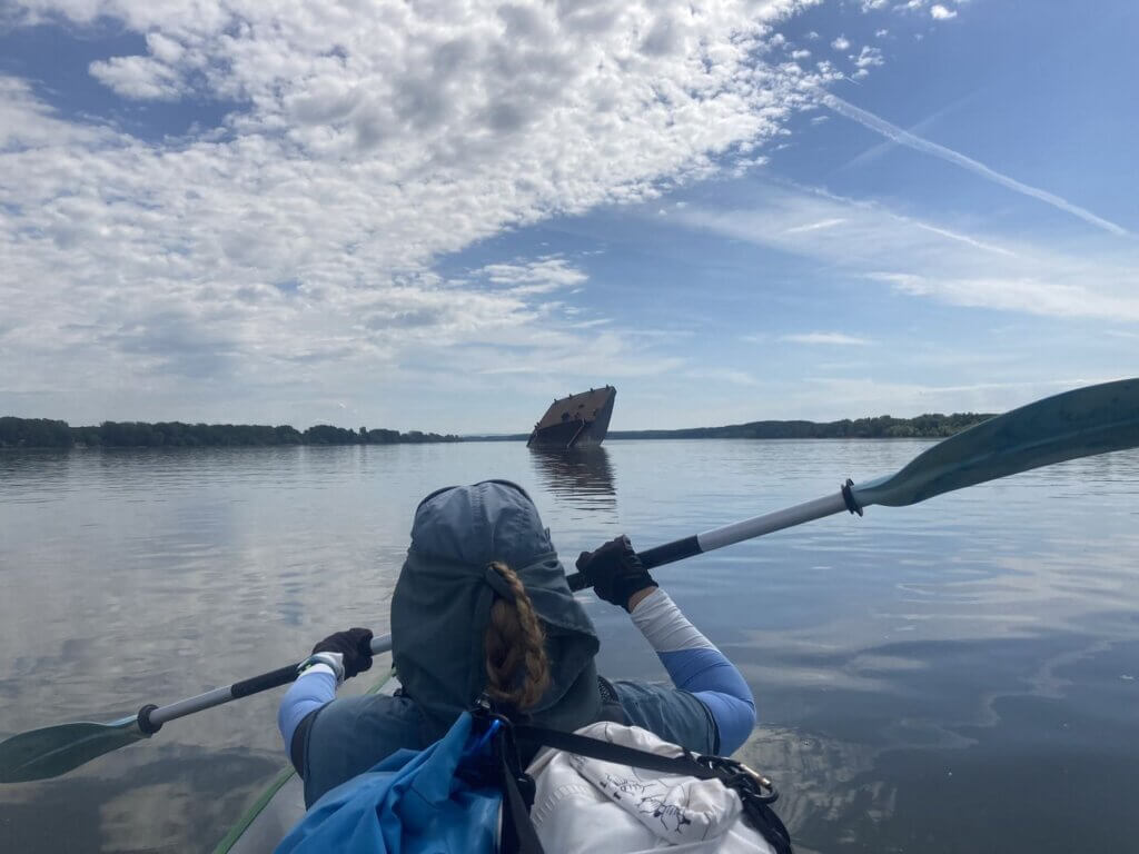
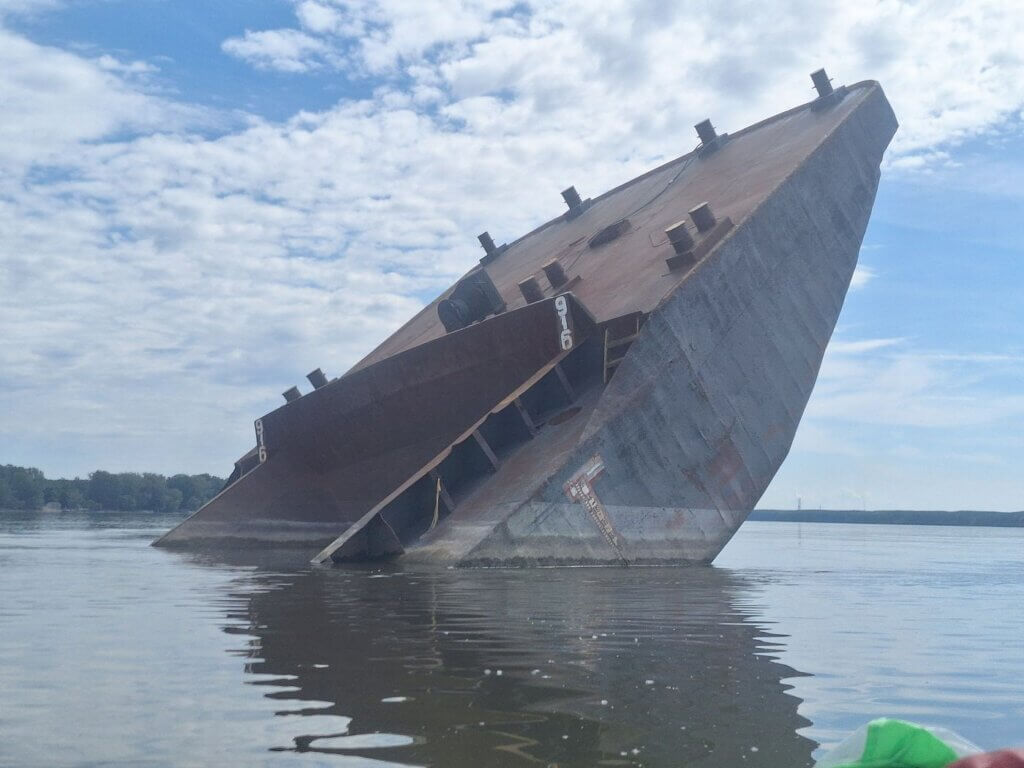
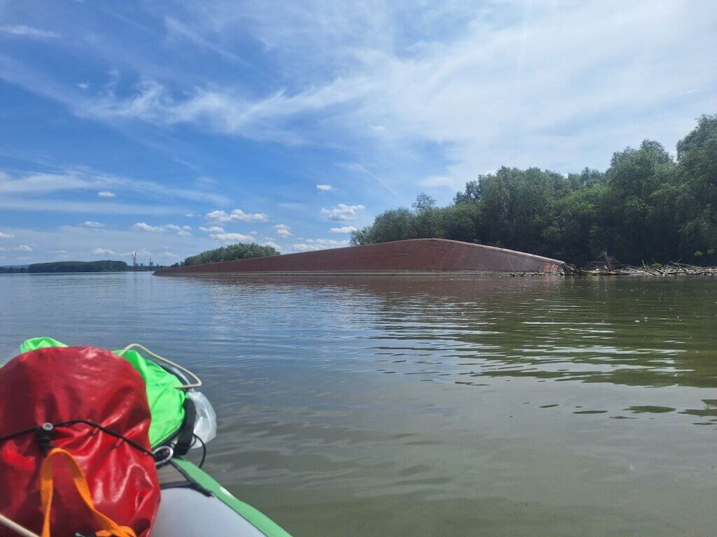
It was now 10:00 and we were approaching the confluence of the Great Morava River into the Danube from the right. In the distance, we could see a weird object sticking out of the water. It was very large.
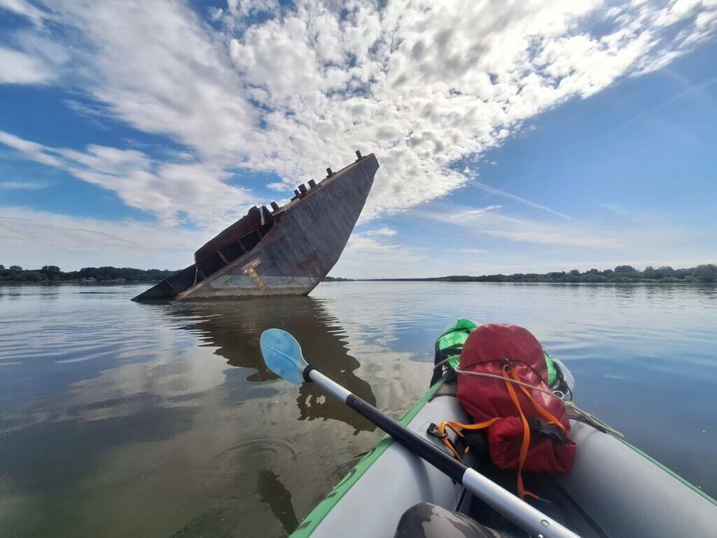
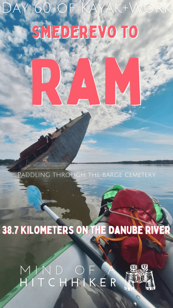
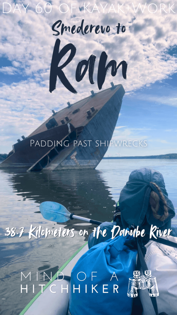
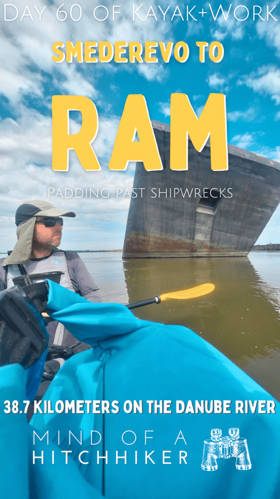
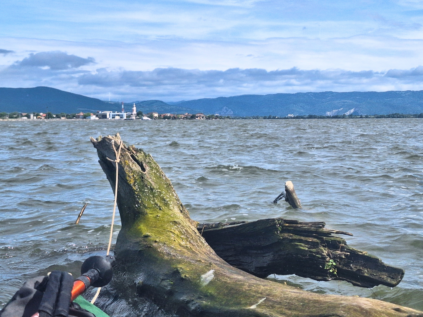
When we approached, I could see it was a sunken barge with the pointy end sticking up, like Titanic. Spectacular. We paddled quite closely to it, believing it to be firmly stuck in the Danube’s riverbed.
To our right, the Great Morava joined. If you’ve been on this blog a long time and wonder, wait, didn’t you already kayak the Morava on the Danube basin? Yes, we did. But that’s the Morava that flows between Slovakia and Austria and is a left-bank tributary to the Danube 352 kilometers long. The Great Morava is a right-hand tributary and it’s 185 kilometers long. Before that, it’s made up of the West Morava that’s sourced in Serbia and the South Morava which originates in North Macedonia. I know much less about the tributaries of the Danube after the Sava confluence. It’s kind of a blind spot for me.
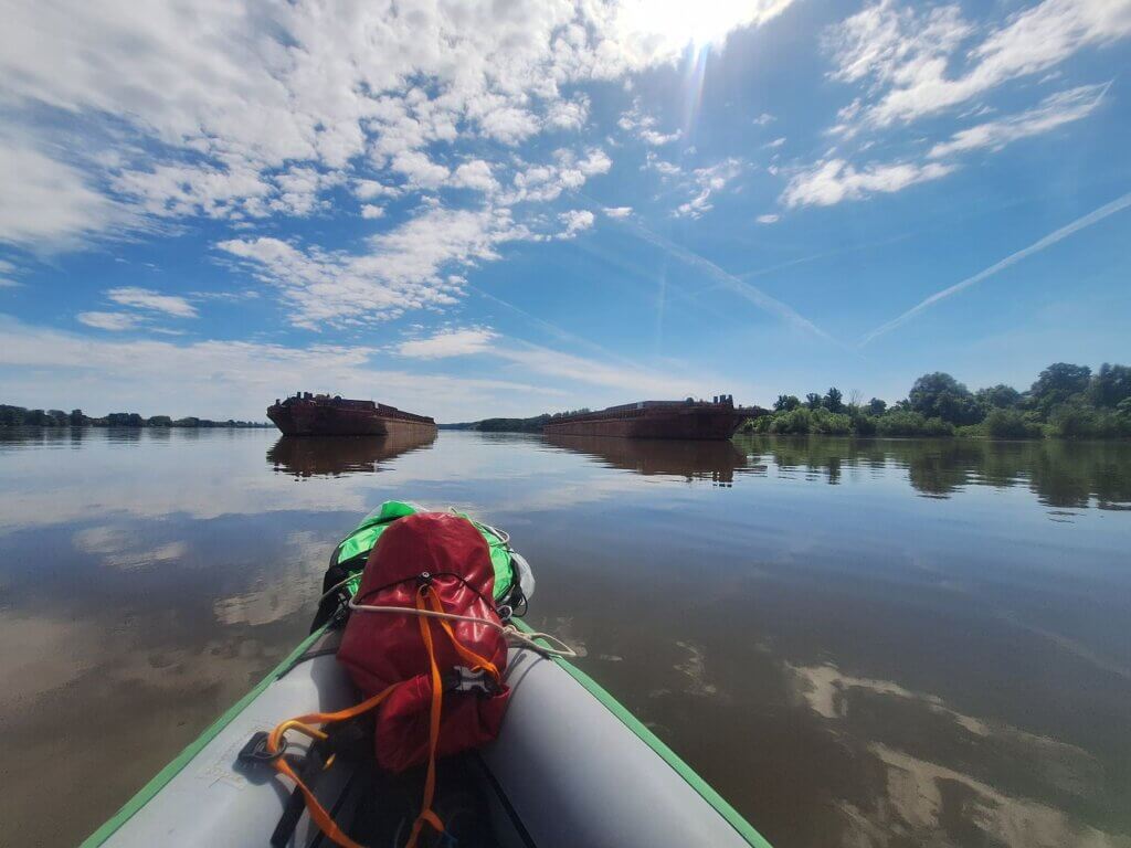
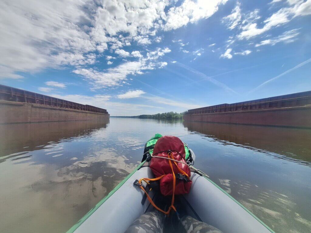
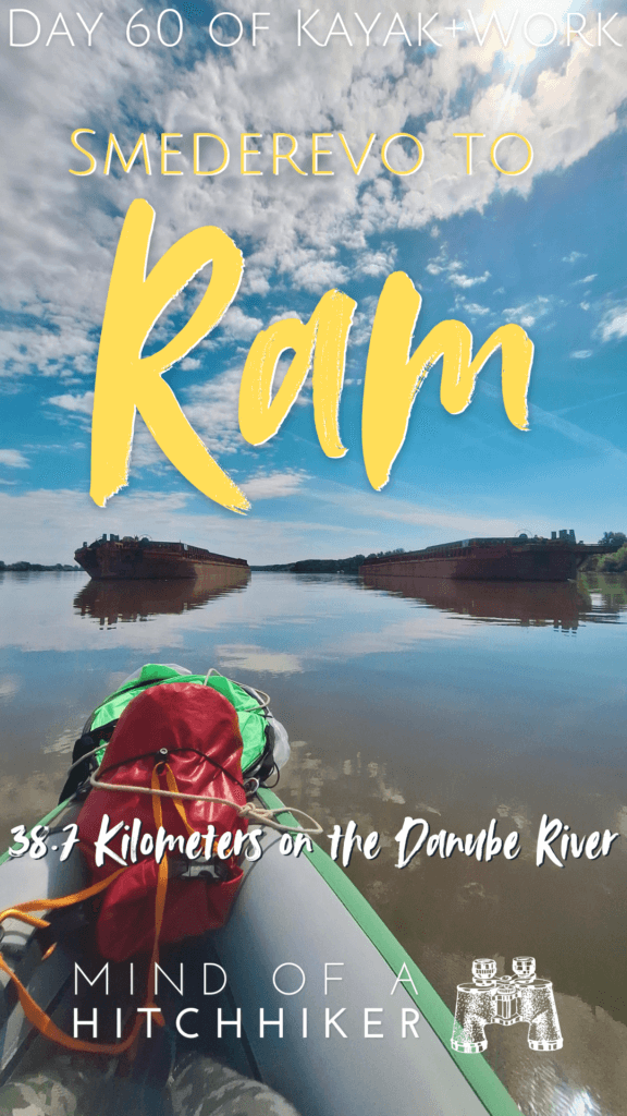
After the Great Morava confluence, there were two anchored barges parked parallel. We decided to paddle in between them for some nice footage.
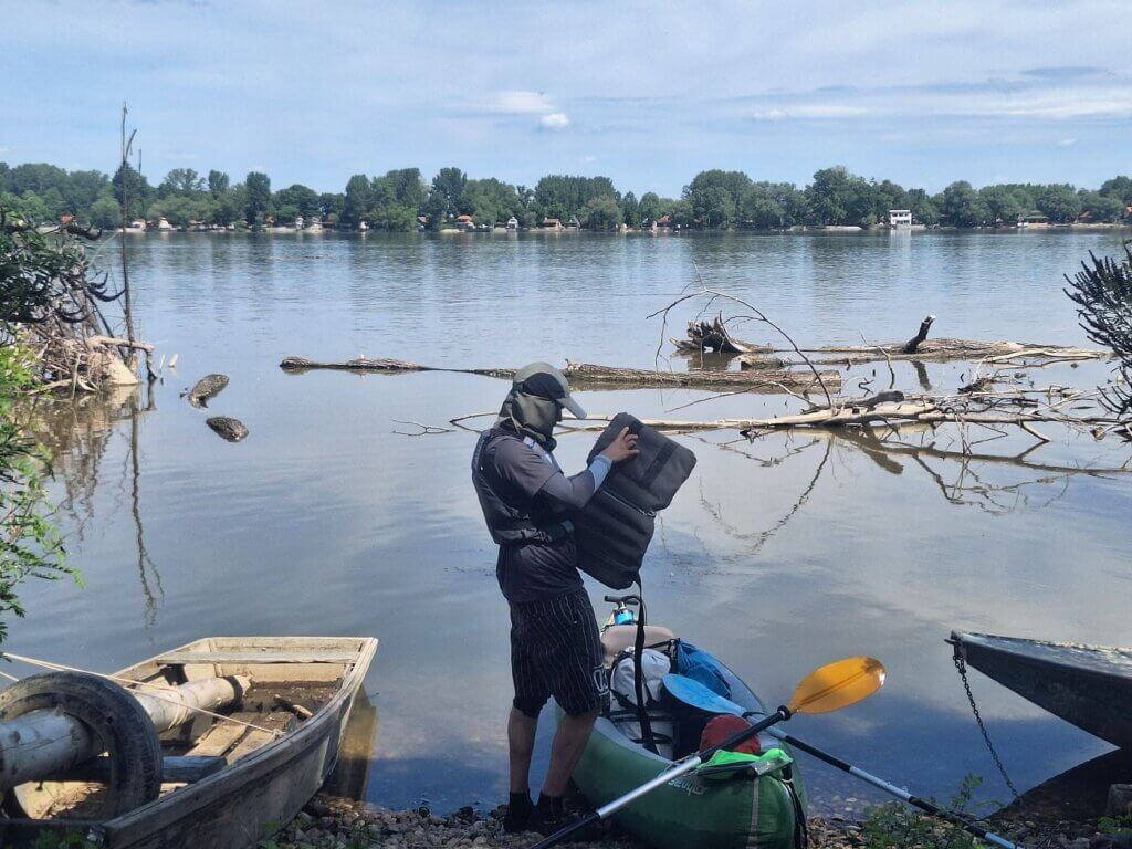
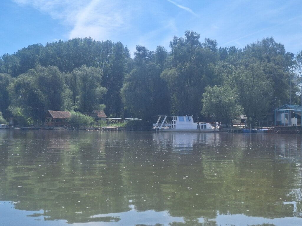
At 10:35, we found a suitable landing spot in a place mapped as Margum. It was behind some houses, so we tried to keep the pause short, sweet, and silent as to not trigger any dogs. Jonas reinflated my seat for me. We continued paddling six minutes later. My nautical map says there’s also a ferry here, although it doesn’t say where it’s going. In real life, I did see some boat that looked like a potential ferry for foot passengers only.
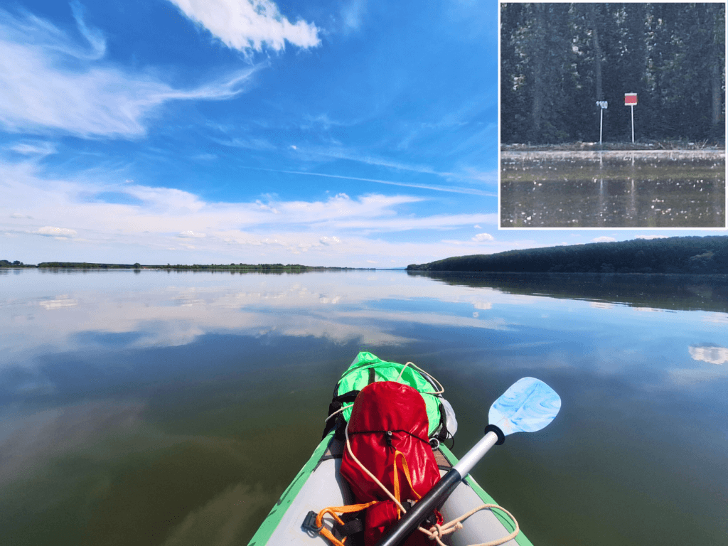
We ate a protein bar in the boat and kept going while the kilometer signs on the right bank kept counting down. We were looking for the 1100 kilometer sign, which we encountered at 11:14. I can’t believe the next round number will be 1000 kilometers to go on the Danube to the Black Sea. I’m stoked, to say the least.
Paddling Past Kostolac + Weirdly-Shaped Islands
We were now entering the Kostolac area. Somewhere in Kostolac, the TID makes a one-night stop between Smederevo and Veliko Gradište. We paddle more kilometers today to get to Ram than they do.
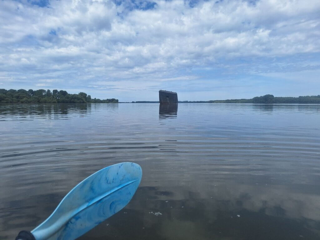
In the distance, we could see Stojkova Ada. But before that, we encountered another sunken barge. This time, it laid on its side. Why are there so many sunken barges here in the Danube?
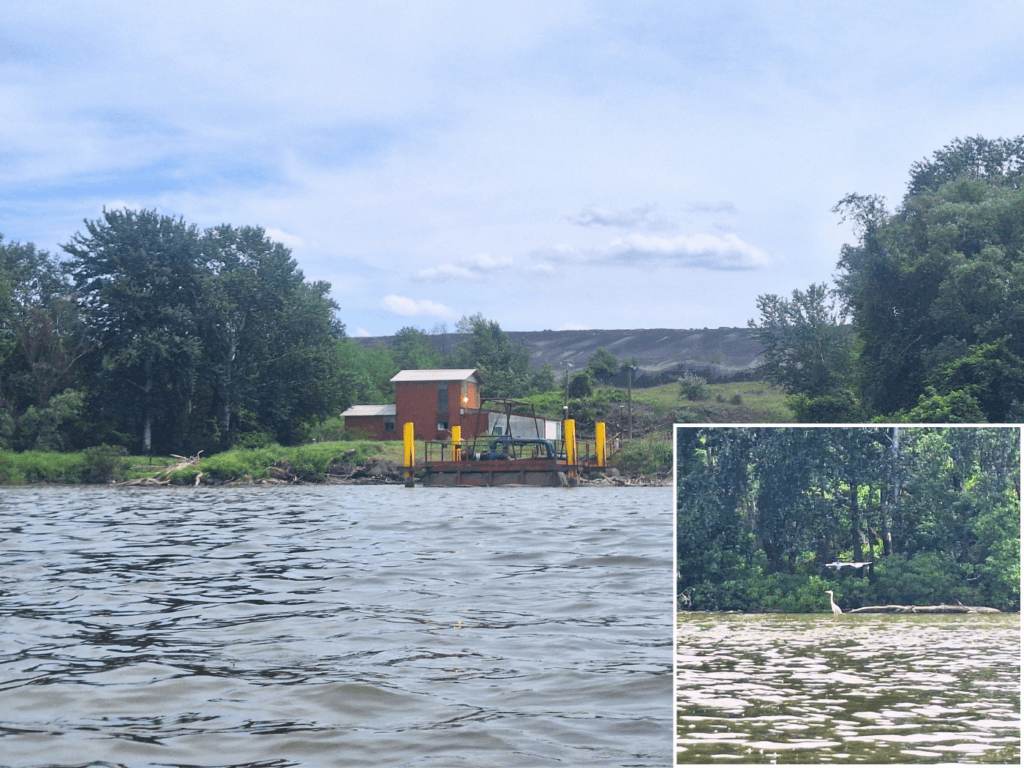
We tried to take a shortcut by paddling closely to Stojkova Ada. There was a lot of activity on the island of fishermen. To our right, the industrial area of Kostolac. There’s a power plant and a mountain of coal that nature tried to somewhat retake by growing plants on it. It also has a grassy aerodrome according to my map.
The area of Kostolac used to be Viminacium, the capital of the Moesia Superior province of the Roman Empire in the 1st till 4th centuries AD. It used to also host the Roman Danube Fleet. There’s an archaeological site and museum nearby Kostolac.
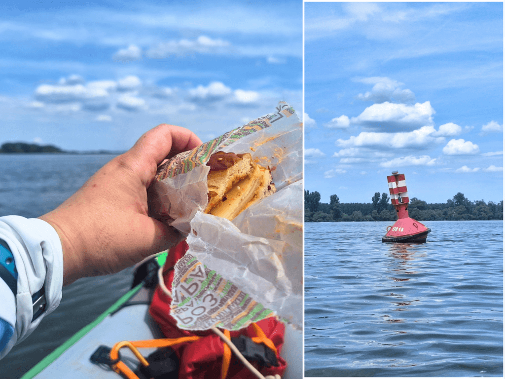
It was almost noon and time to eat our cheese sandwiches.
Arriving in Ram
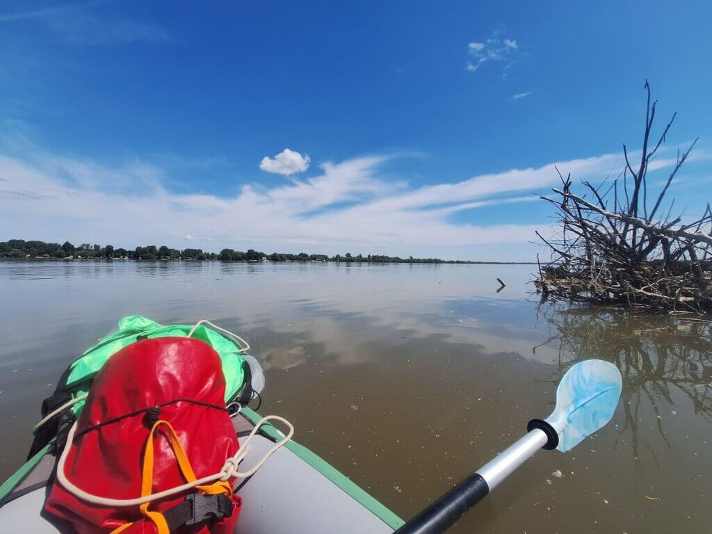
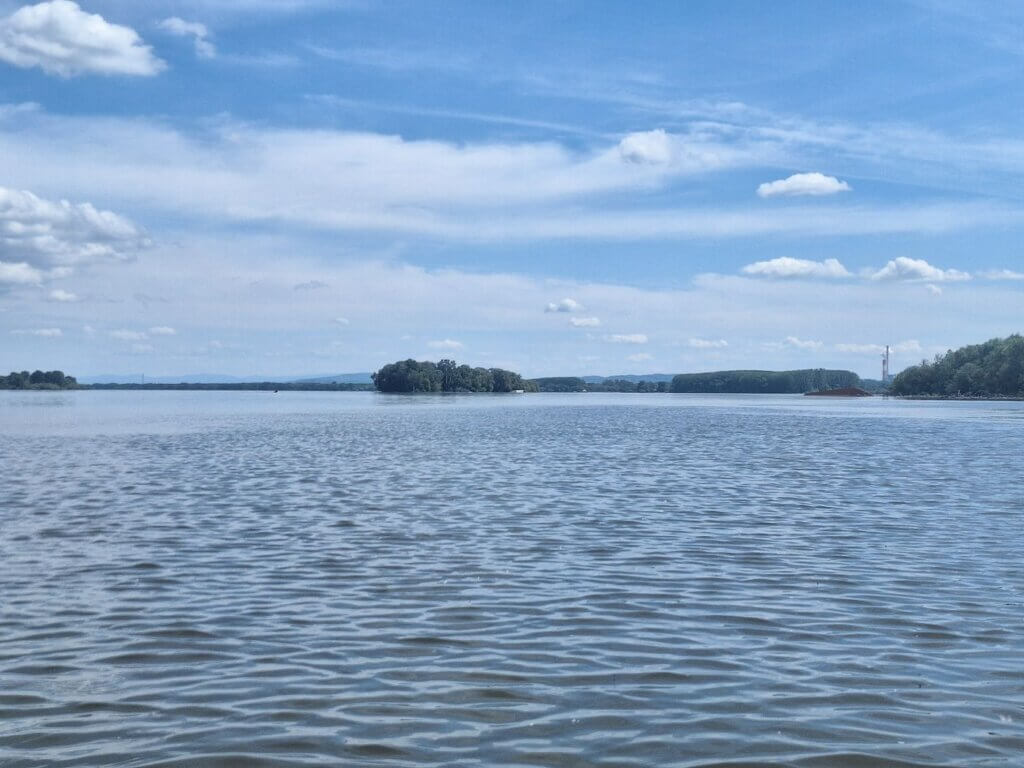
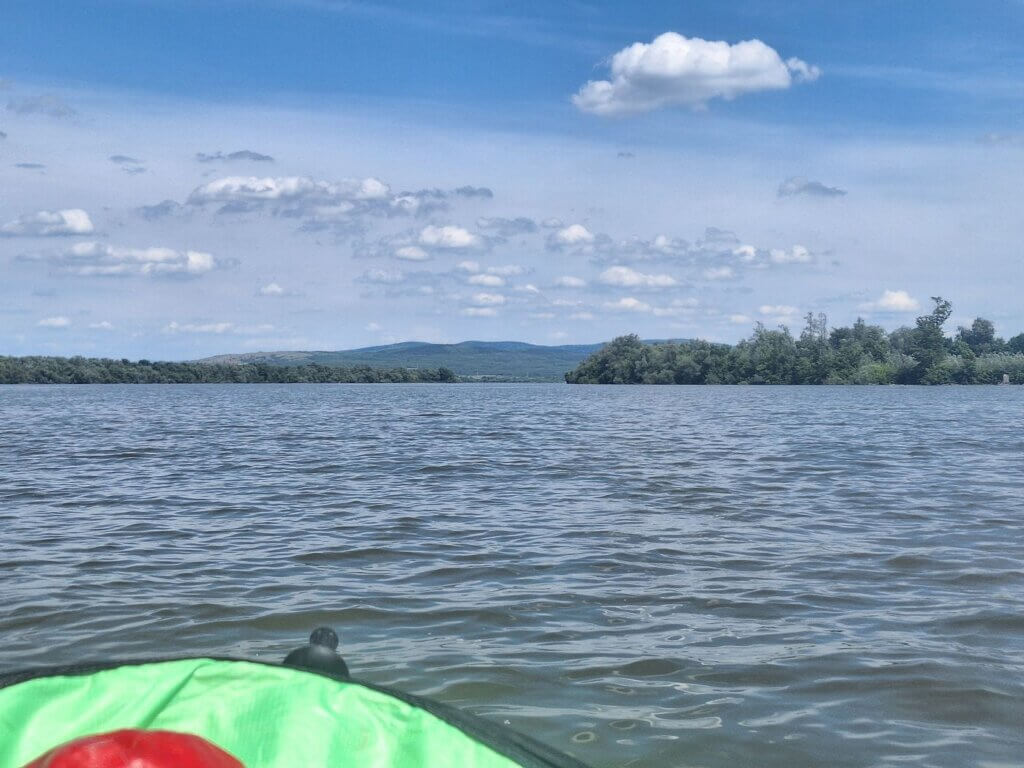
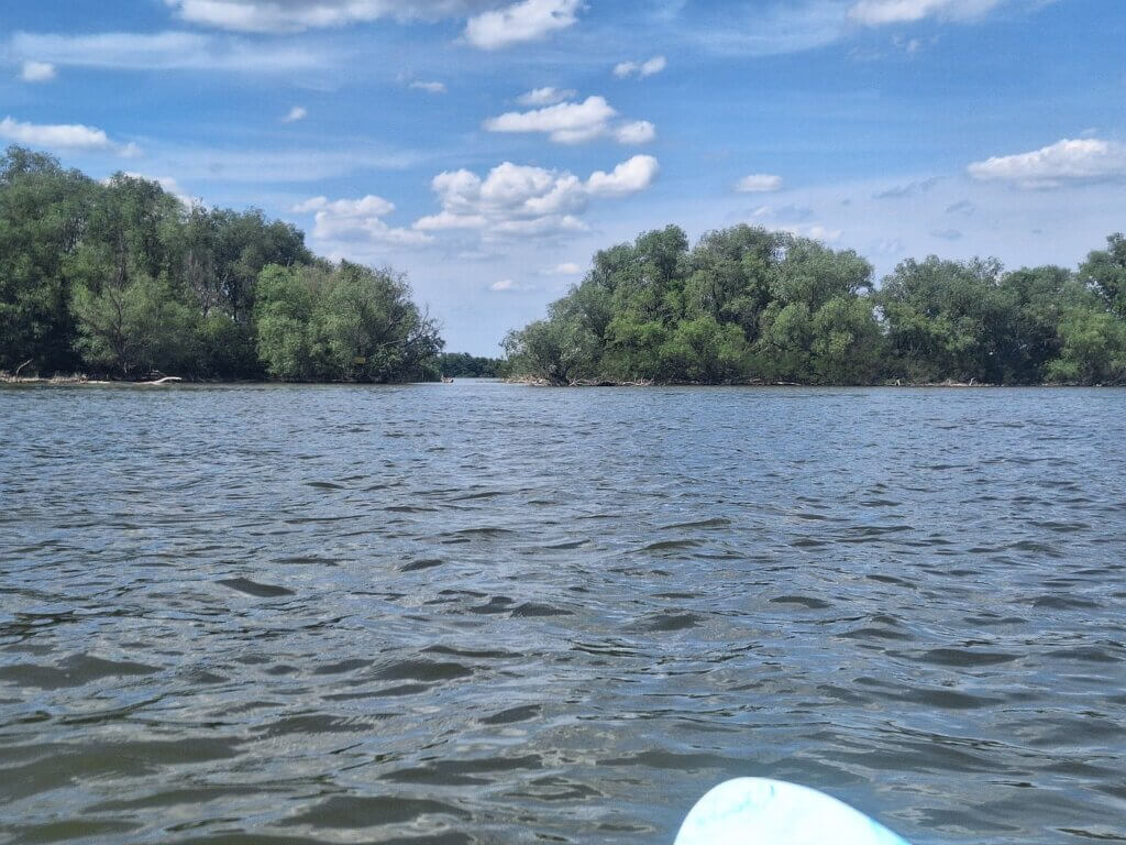
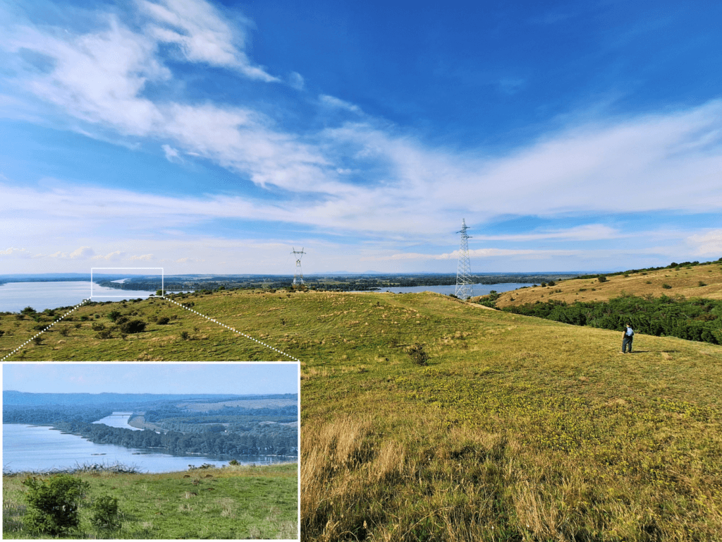
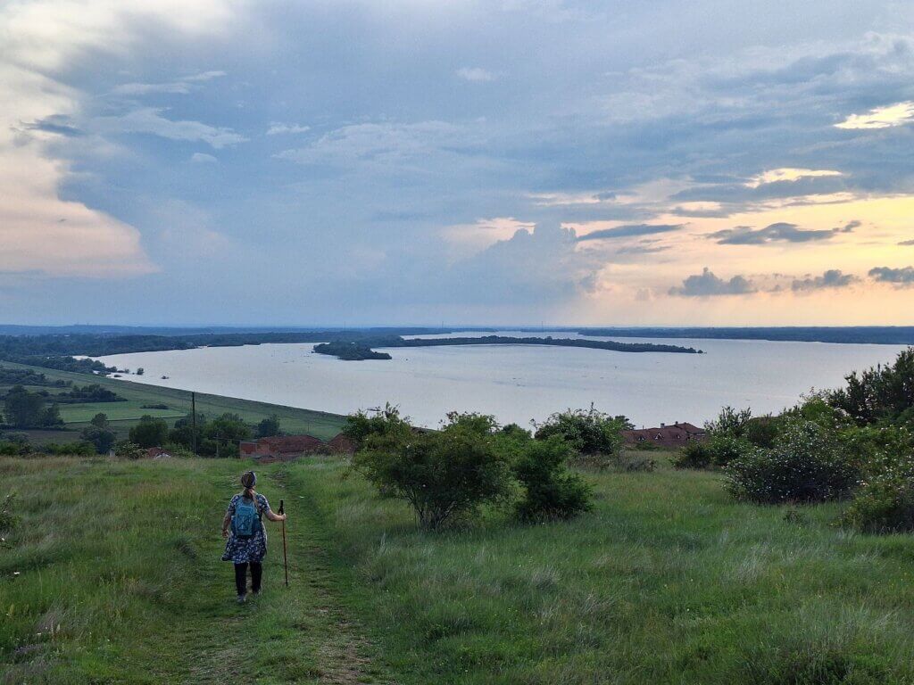
We kept paddling until we saw the three towers that carry some major electricity lines across the Danube. There’s also a turn in the river here and an island, so it was hard to see where we had to go. One of the electricity towers stands on the island of Žilava, which is hollow from the backside. There are multiple islands like that in the area. I later learned the reason: the Đerdap I Dam raised the water levels and flooded the aft parts of these islands.
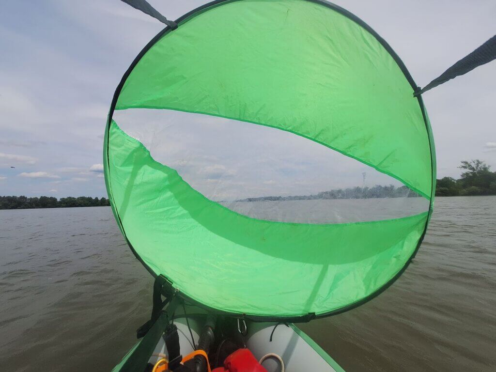
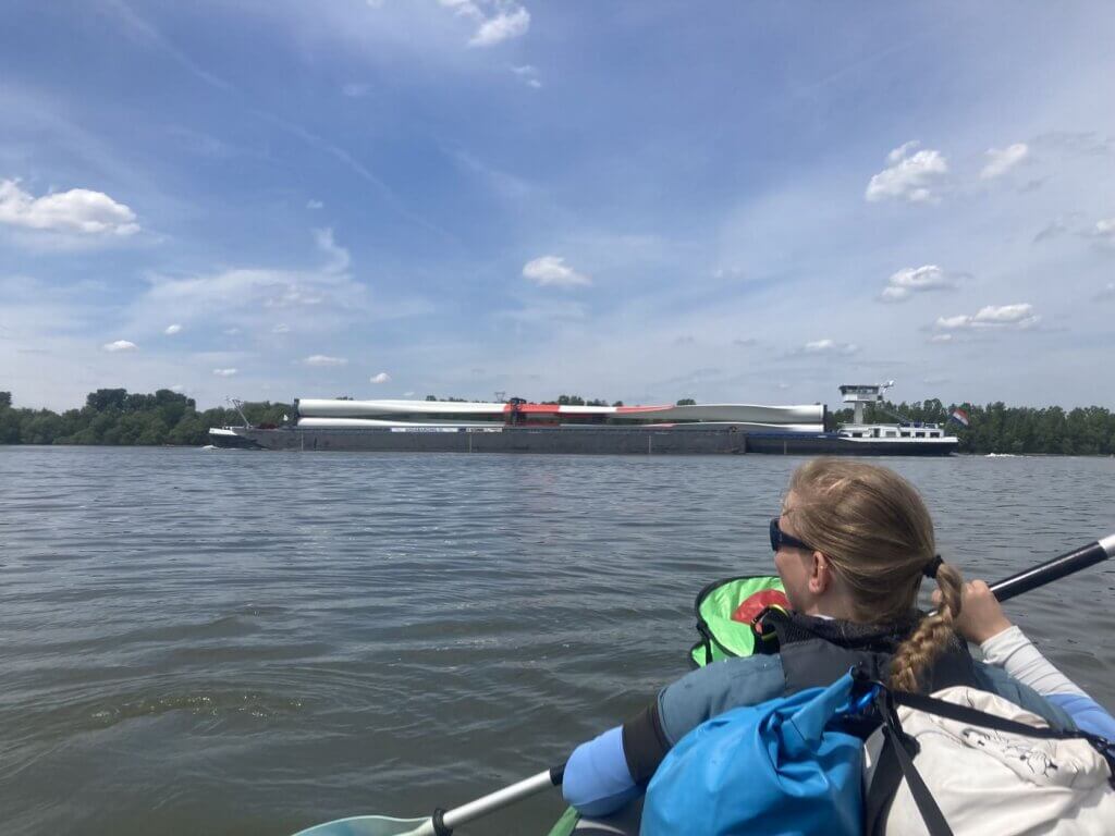
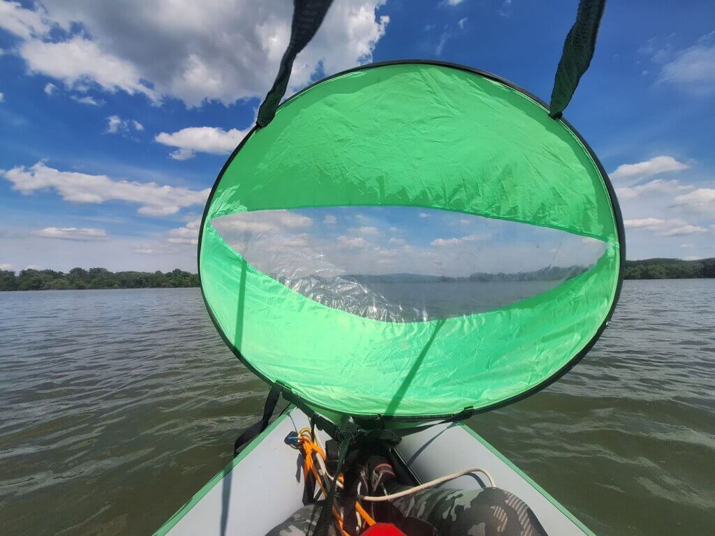
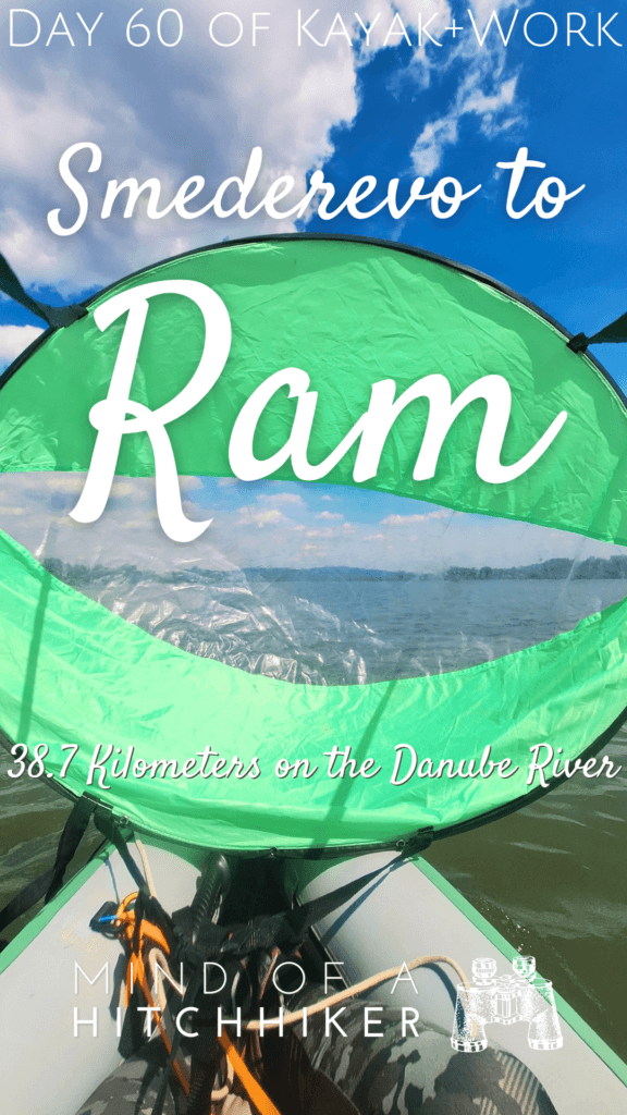
There was a bit of tailwind, so I deployed the kayak sail for a short while until it disappeared. We went right around the island of Žilava. The shipping lane also goes through here. We actually encountered a ship in this short section. It was a Dutch ship carrying four blades for windmills upstream, reading AquaBarging.nl on the side. My guess is that it will probably travel from the Danube to the Rhine via the canals. Very cool.
For fun, I also turned on my OnCourse app to track us on Marine Traffic. Unfortunately, the app doesn’t run in the background, so I only tracked a short line.
At 13:37, we were on the final approach to Ram. The water here is quite shallow and I saw quite some plants in the water. The entire area before Ram is full of men in fishing boats on days like this. There were a few more weirdly shaped islands: Zavojska Ada and Chibuklija Ada.
We were quite tired at this point, though it was an under-forty day. We managed to chill a little by deploying the kayak sail again to catch that mellow tailwind.
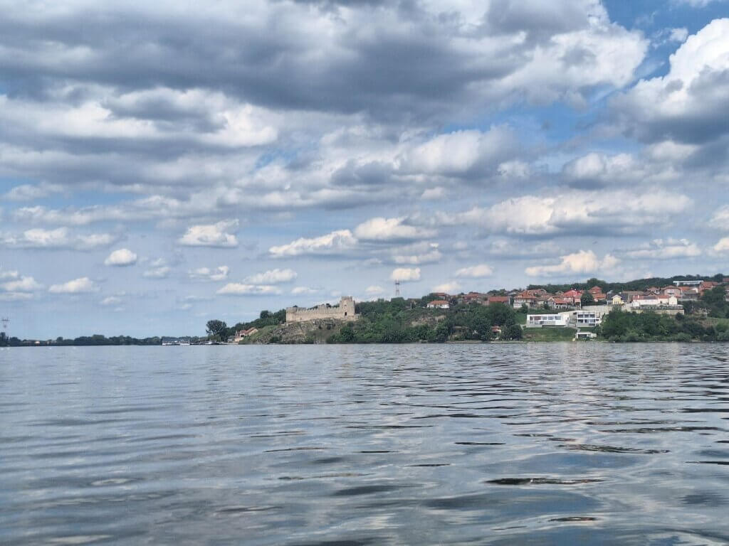
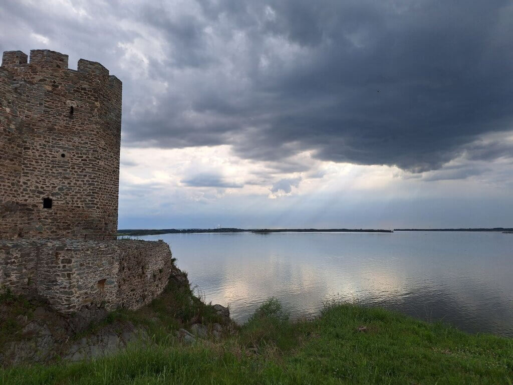
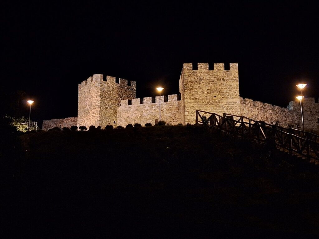
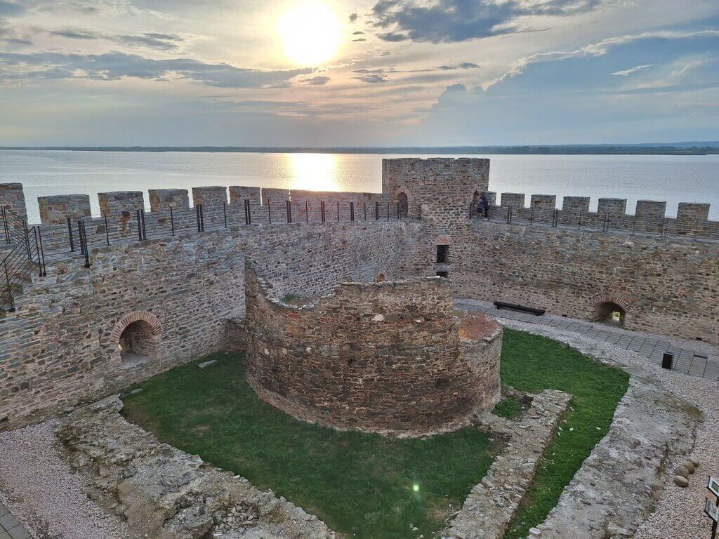
Once in the wind shadow of the two islands, we could see the humble beginnings of Ram Fortress. This gave a boost in motivation. To our left, the island of Chibuklija Ada had several gaps to get to the inner lagoon as we’d seen on satellite view. It was a little tempting to paddle in there, but we decided not to. The small fishing boats, however, were comfortable doing that.
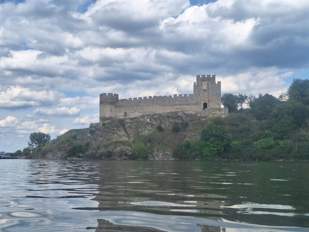
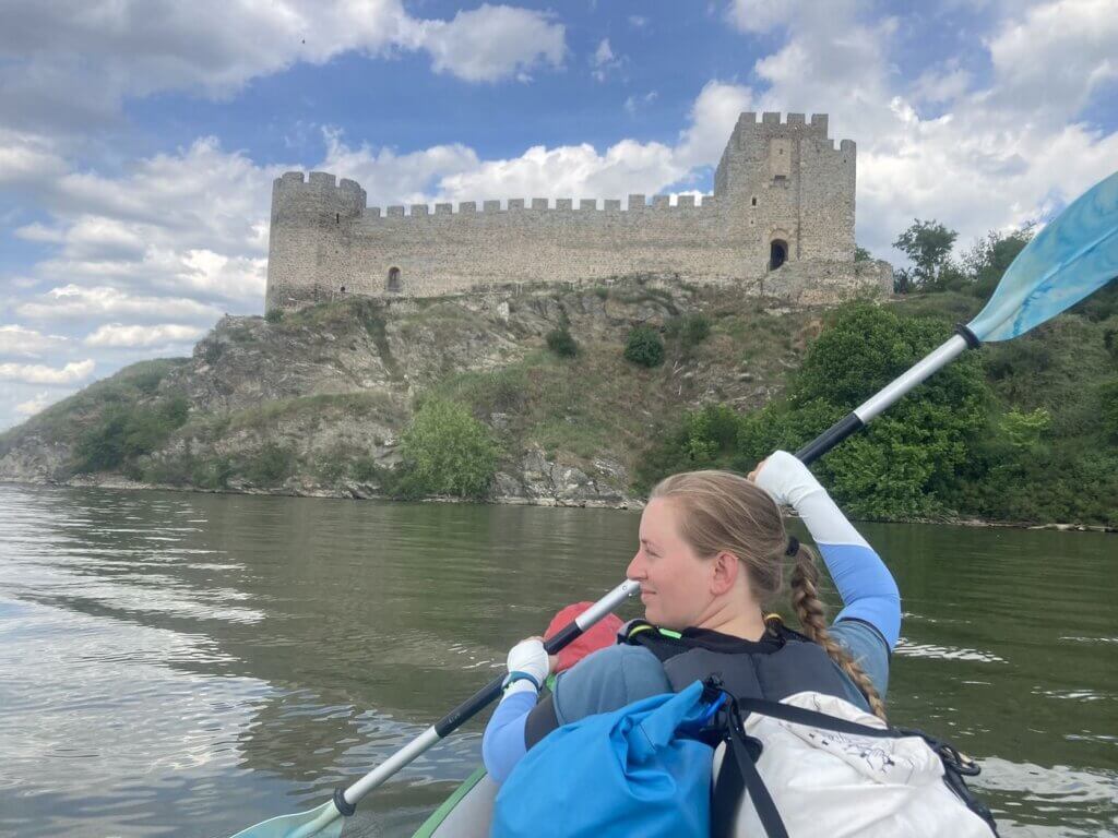
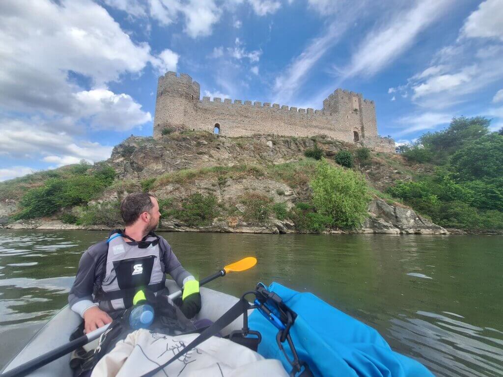
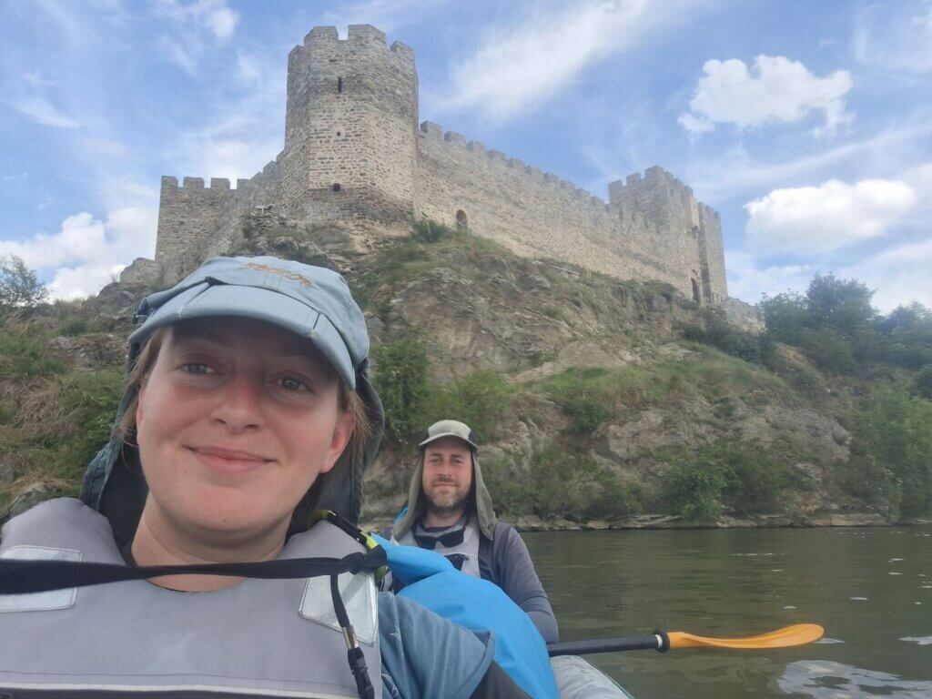
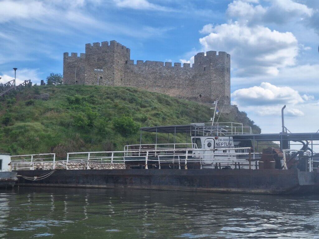
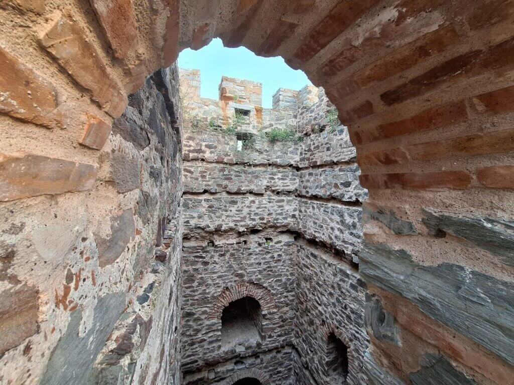
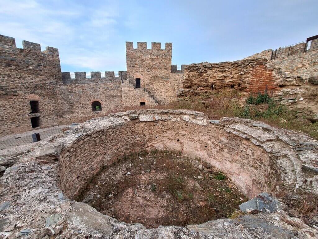
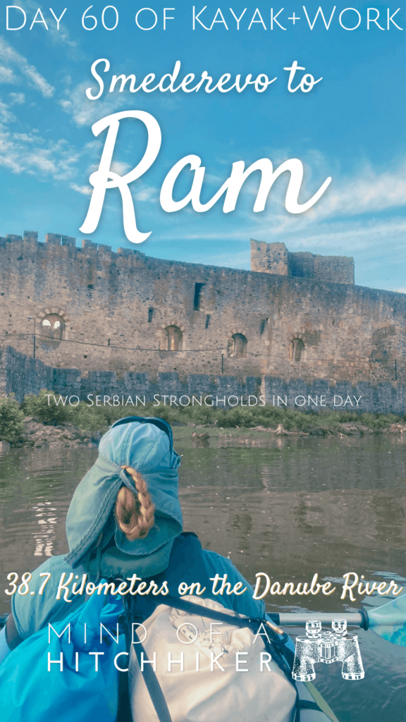
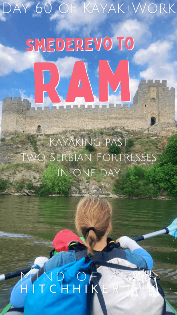
We kept paddling towards the impressive fortress until we were right in front of it. We took some more photos together with the fortress while floating a little. And then it was time to arrive and call it a day.
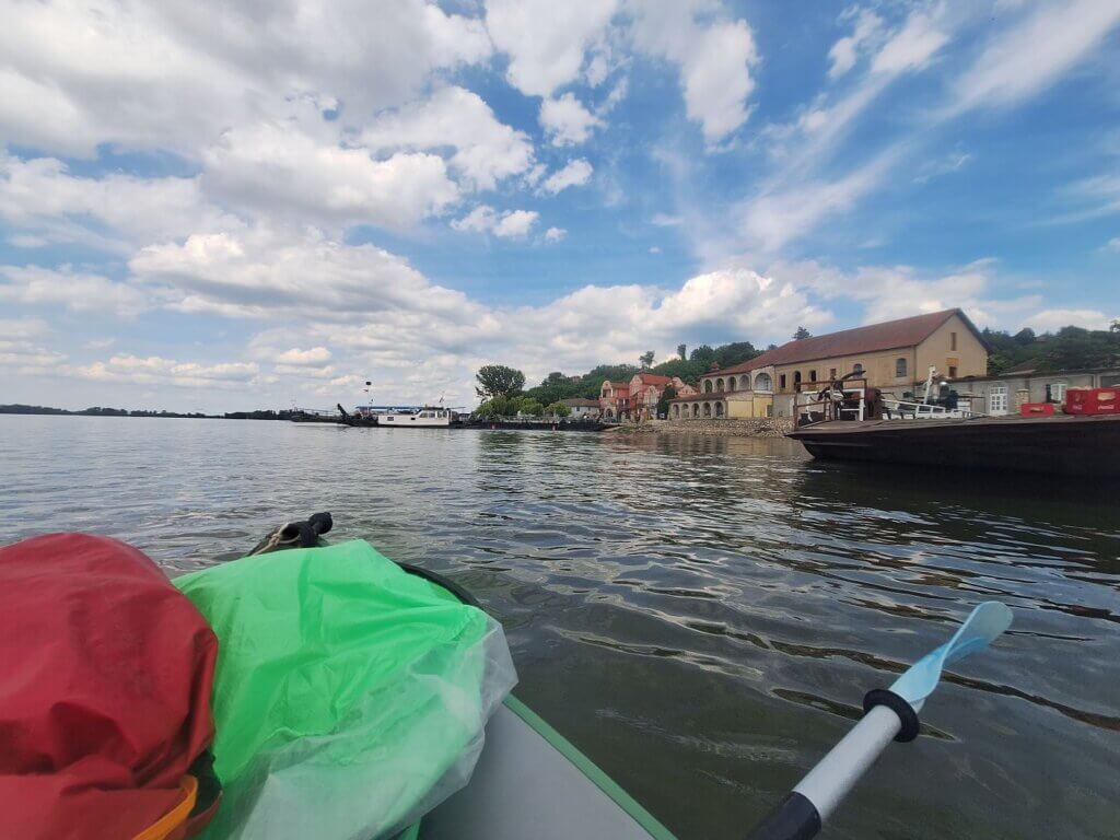
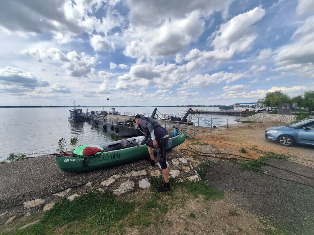
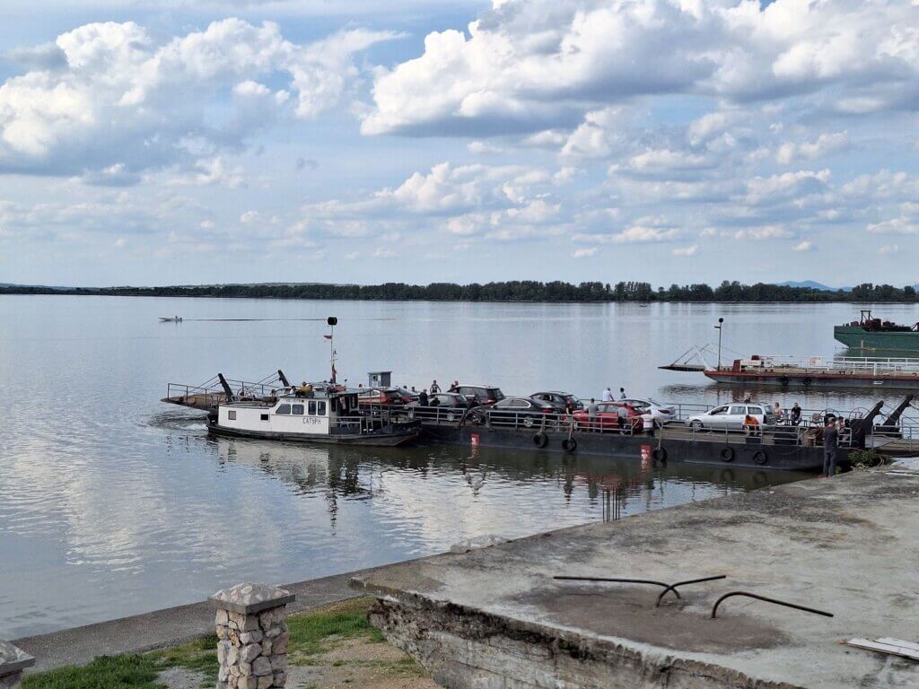
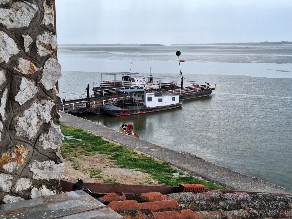
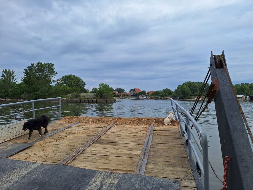
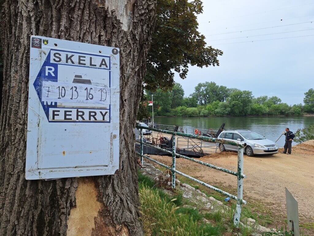
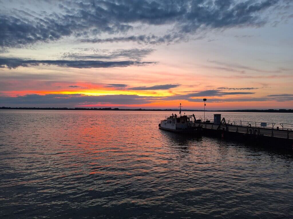
Around the corner of the fortress are the many ferries of Ram. These are pontoons with a ship attached to them. Most of them have planetary names such as Jupiter and Neptune. After some discussion, we landed at the spot where the ferry goes to Stara Palanka. There was just enough slipway available to us to squeeze in between. Arrival time: 15:13.
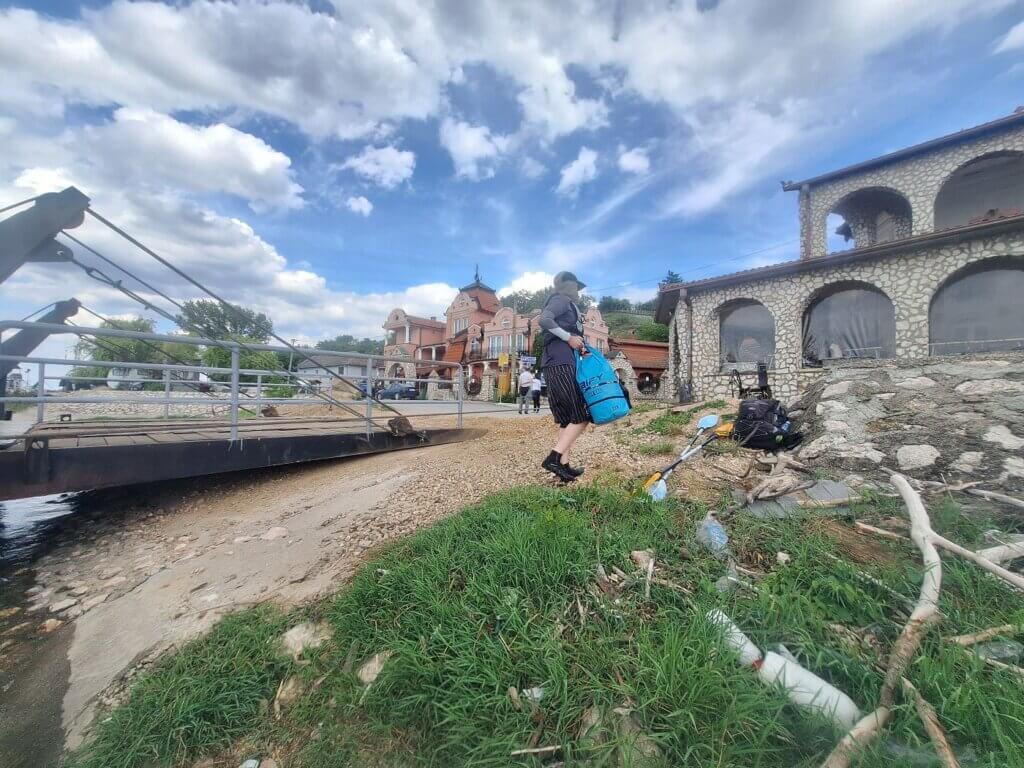
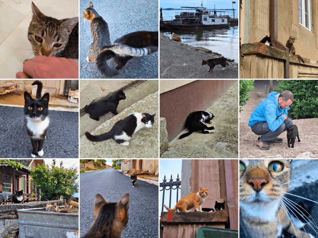
The ferry already had some cars on it, even though it wouldn’t leave for another 45 minutes. We carried Zucchini up the embankment and already saw our first cats of Ram.
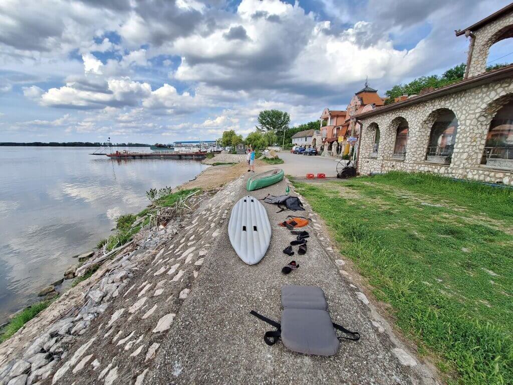
I stayed with Zucchini while Jonas put on shoes and went up to the Rooms Ram some 50 meters away to check into the room. We’re staying here for only two nights. There’s not much in town. The ferry filled up while I was waiting. And then, two fellas in a yellow canoe landed in Ram.
I dried Zucchini enough for her to be packed away for two nights. It doesn’t have to be perfect now. Jonas returned with a key and some pictures of a cat he’d met inside the hallway of the accommodations. Are we staying in a cat-friendly place?

