")


 Beer in Mauritius Guide—What a Lovely Surprise!")
")

 to Girne (Kıbrıs)")


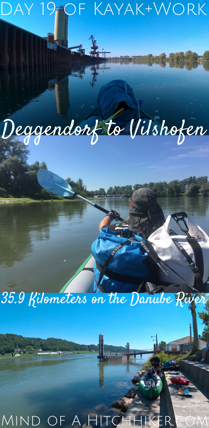
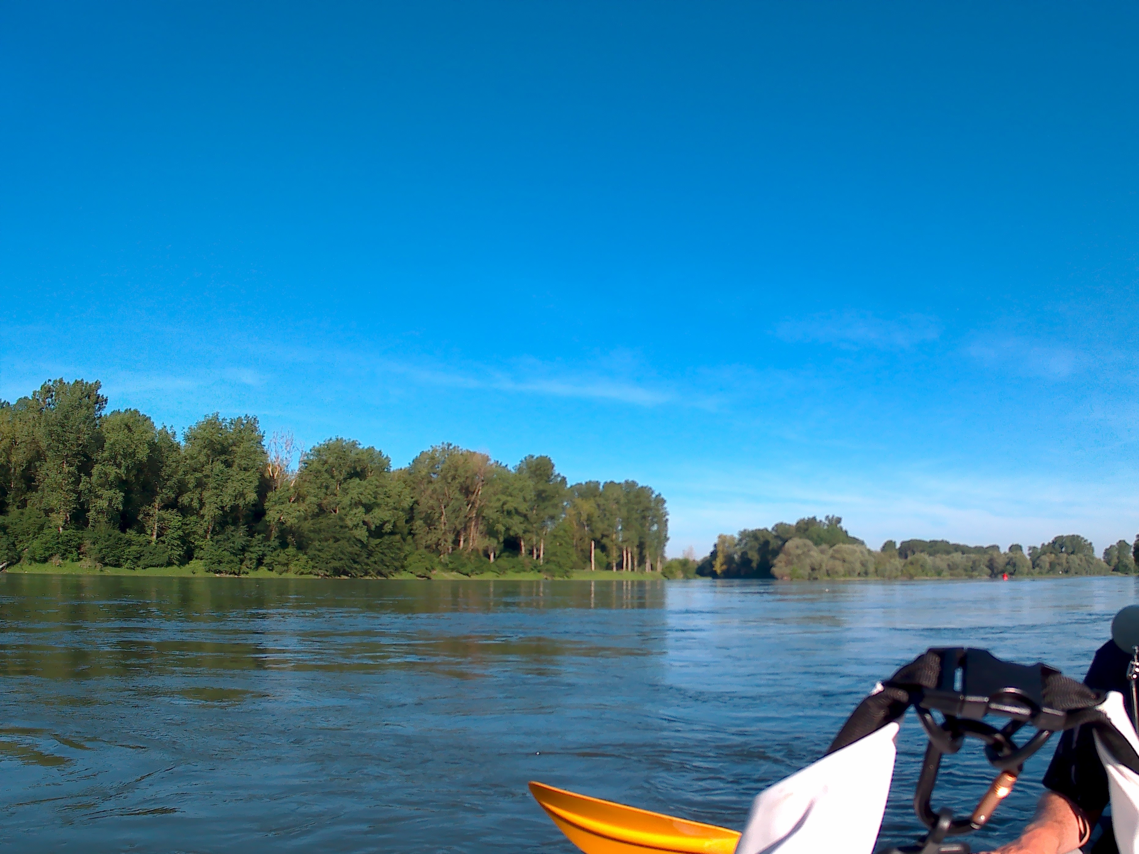
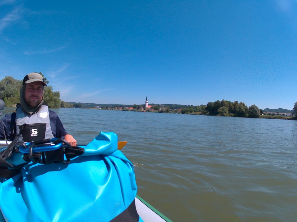
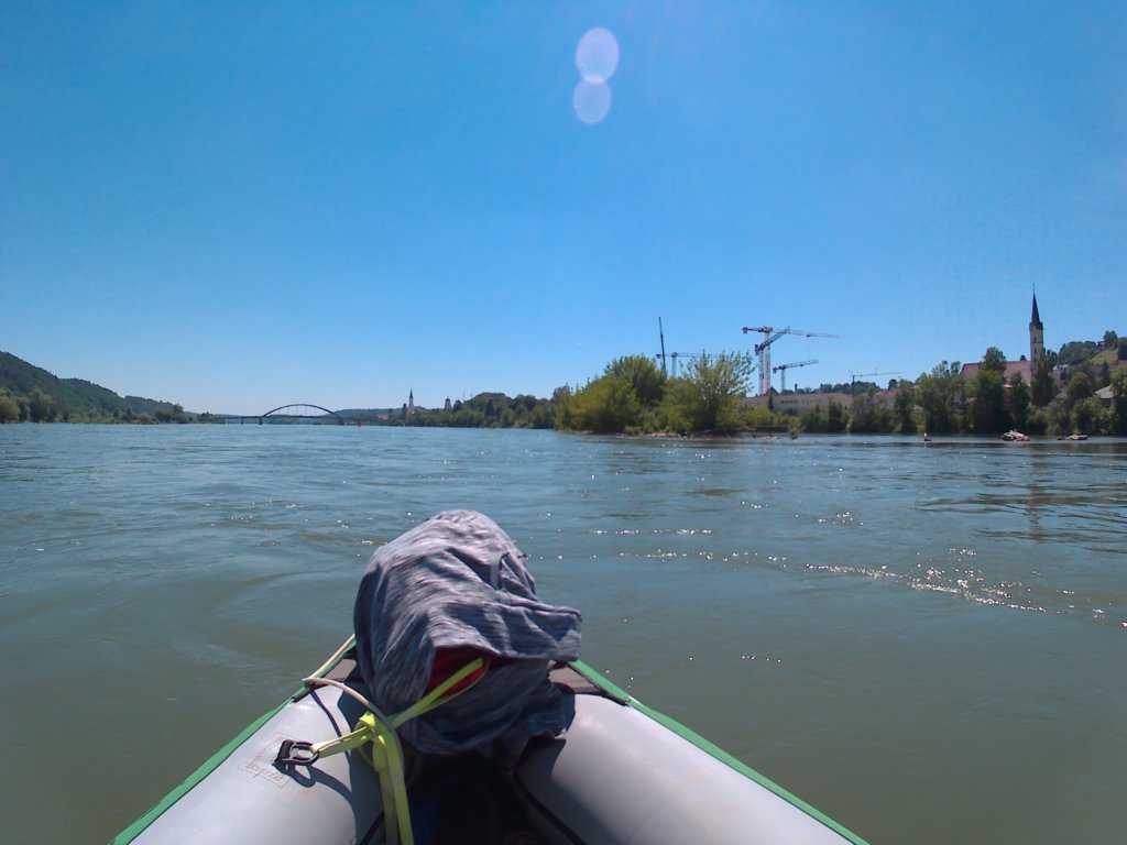
The events chronicled in this story happened in the real world on Tuesday the 25th of June, 2019. We paddled Zucchini the inflatable canoe from Deggendorf to Vilshofen an der Donau on the Danube river. That’s a distance of about 36 kilometers.
Want to travel the (entire) Danube River in an adventurous way? Join our Facebook group Danube River Source to Sea: Kayak / Canoe / Bike / Hike / Sail to find your community
Our Stay in Deggendorf
We stayed two nights in the NH Parkhotel in Deggendorf. I was planning to write a lot and work on my blog posts, but the internet didn’t work on my computer. Jonas spent ages trying to make it work, but it never did. I quickly got demotivated from writing as well, so in the end, I did fuck all. Jonas was more successful.
We visited the historic center of Deggendorf on the second day of our stay. We were planning to visit a café, whose owners, of course, were on holidays, so we switched it up to another café called Café del Camino. Jonas had a German Eiskaffee, a cold coffee with ice cream and whipped cream, and I had a large Hefeweizen.
There’s a funny statue next to the café of a woman throwing Knödel (dumplings). Jonas translated its history for me. Apparently, the wife of the mayor of the town scared away an enemy spy, by throwing hot Knödel at him, which prevented the conquest of the town by enemy troops.
After eating a nice döner kebab, we head to Aldi to buy supplies for the next paddle day. It’s going to be a long one again, so we need sandwiches and new snacks. It will be sunny, so we’ll get up at an ungodly time to be at the shore before the midday heat cripples our progress. That means no real time for coffee. But Jonas has a hack: why not get these nauseatingly sweet cold-coffee drinks from the fridges at Aldi? We have a fridge (the mini bar) in the room to keep them cool, and we can chug them while doing our morning routine. I agree with the experiment.
Back at the hotel, we do research about the next stretch of river with Google Earth and my offline map app.
I was Wrong About the Map…
I’ve been an idiot. OSMand+ LIVE isn’t the best map for river navigation on the Danube.
OSMand+ LIVE Nautical is the best map for river navigation!
In all seriousness, it’s really great for our purpose. And no, I’m not getting paid to talk about this app. Maps are really important to travel in general and river navigation in particular. I knew there was the ‘Nautical’ function on the app, so I wondered why I didn’t get all the information I once did when I used the nautical map while hitchhiking a sailboat from Corfu to Malta. I don’t know why it took me this long to dig deeper.
Turns out I’ve just been using the land map for everything for 18 days of paddling our inflatable canoe named ‘Zucchini’ on the Danube. But now I made the switch, it doesn’t really matter that I used a sub-optimal map before. I’m just happy I finally have a map that tells me what the heck is going on underneath the surface of the river.
Leaving Deggendorf for Vilshofen an der Donau
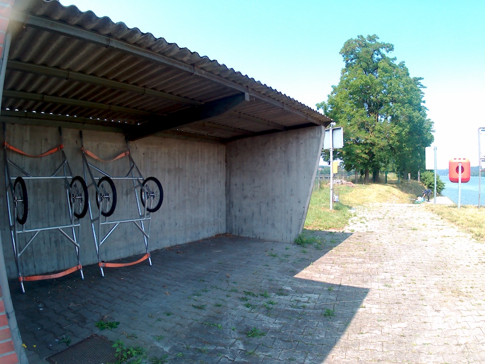
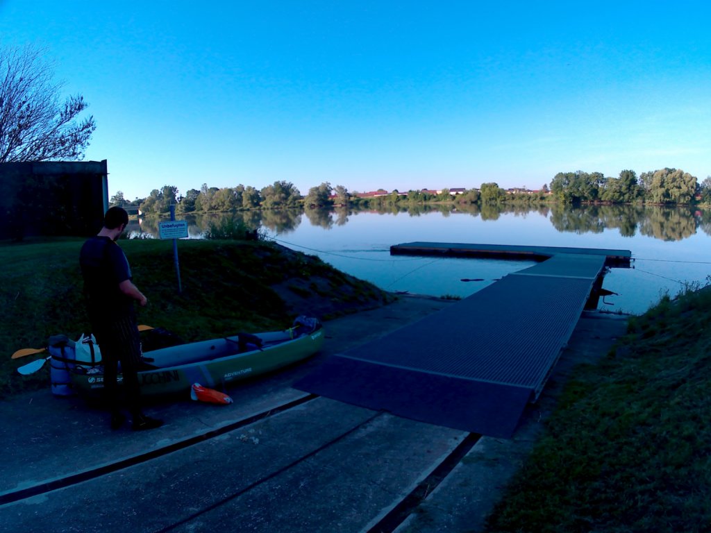
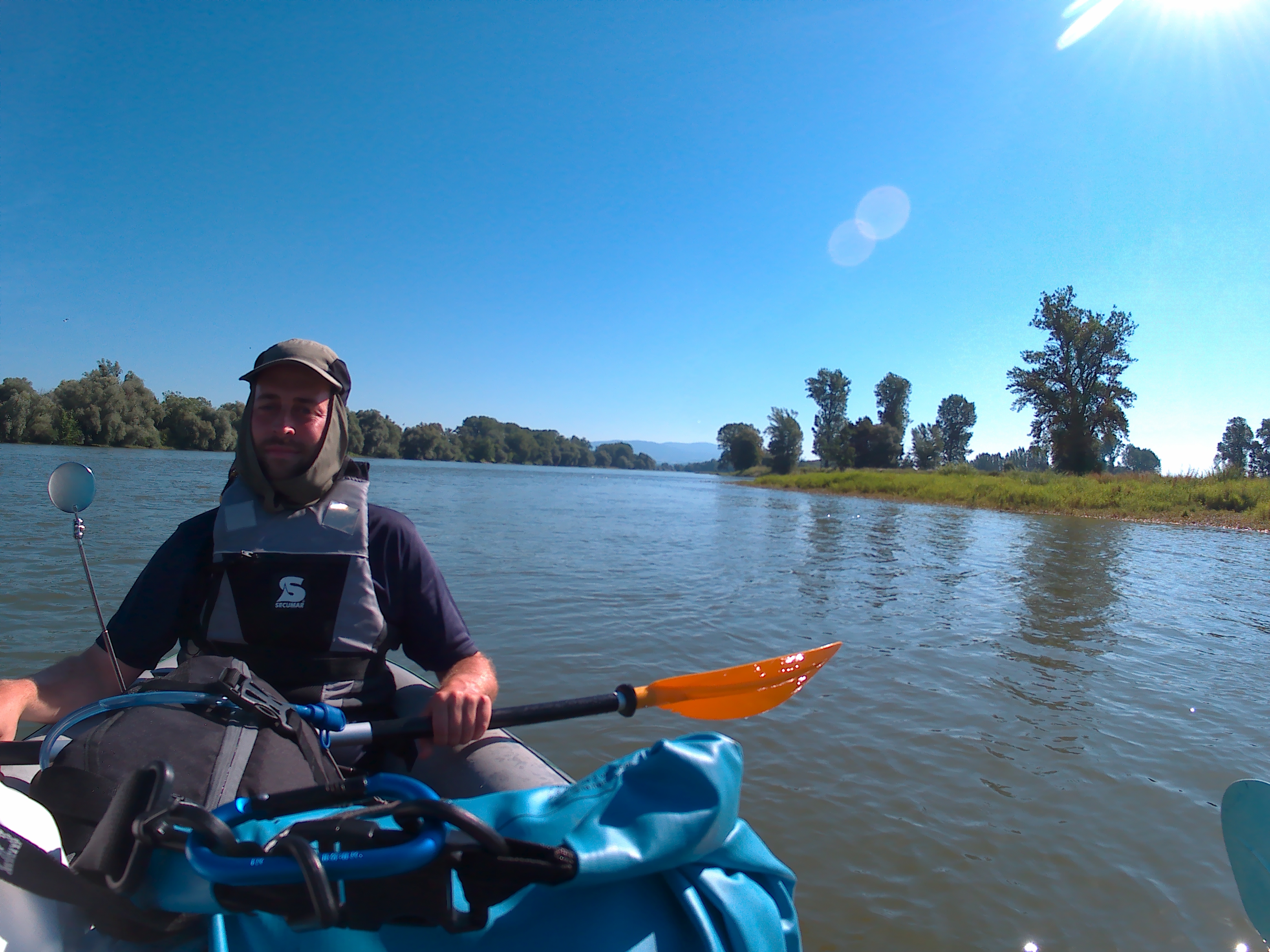
We leave the hotel at 6:45 and arrive at our familiar spot at the river by 6:50. By the time we’re ready to launch the boat, two rowers arrive at the clubhouse and grab a big wooden rowboat from the garage. They’re going for an early morning rowing session, perhaps even before work. It’s funny how they’re ready to roll in like two minutes instead of 25 minutes like us. We’re strapping in our luggage when they put their boat in the water. We still leave earlier than them, but only by a small margin. They’re going upriver, and we’re going it down.

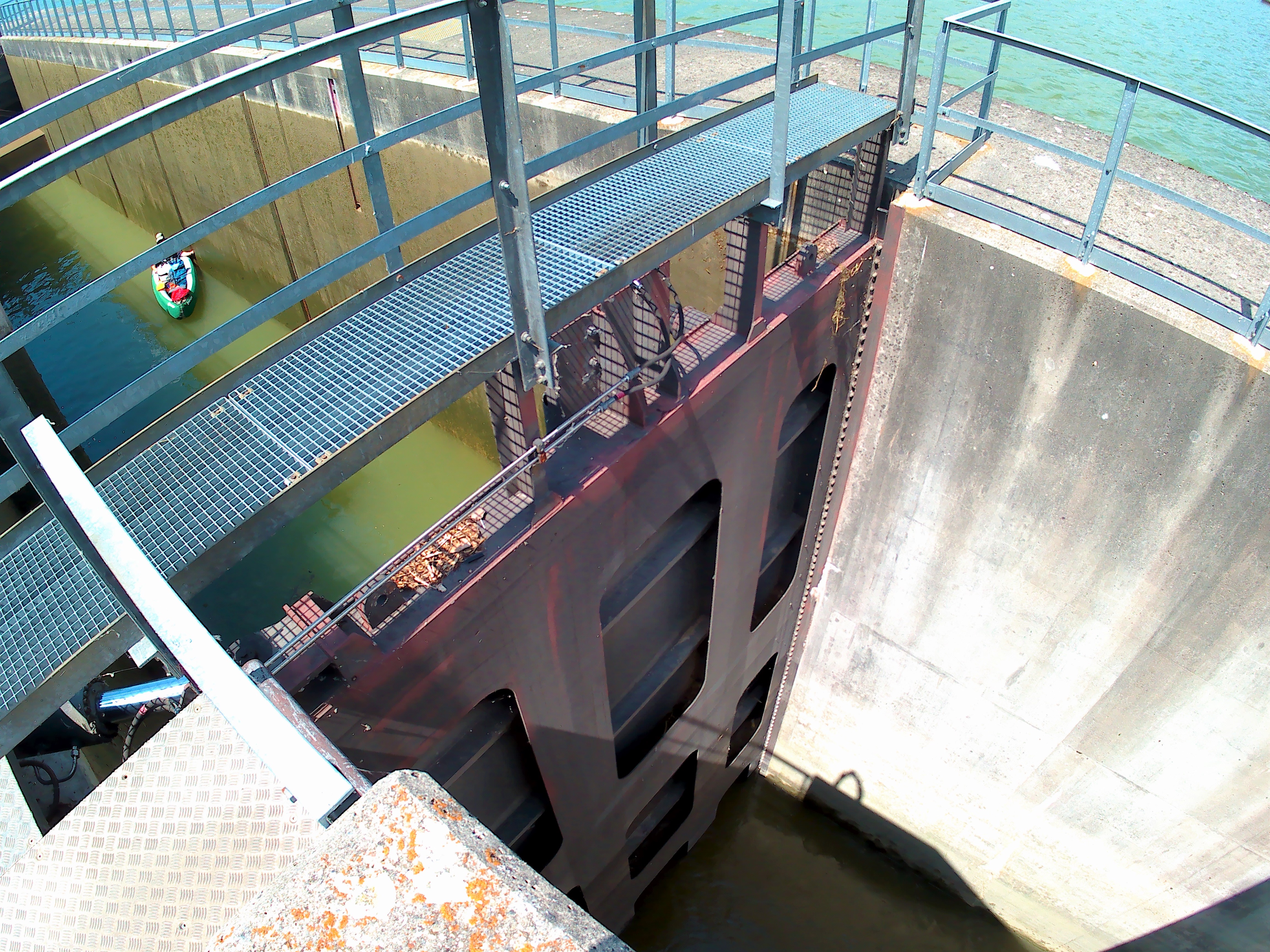
By 7:15 we’re paddling towards the port of Deggendorf. The sun reflects sharply into the river and into our eyes on the left, so we try paddling closer to the left shore to block out the reflection. There are some sketchy machines on the shore that are mostly not moving. Sometimes we’re afraid a ship will pop out of nowhere or decide to leave when we overtake it, but it’s still early and there’s very little activity going on. One boat is receiving some dusty thing from a big excavator kind of crane right before the big highway bridge at the edge of town.
The river Isar joins the Danube from the right after that highway bridge. From what we read online, the Danube should become much faster after this confluence. Based on that information we decided to make another 35 kilometer paddle day today.
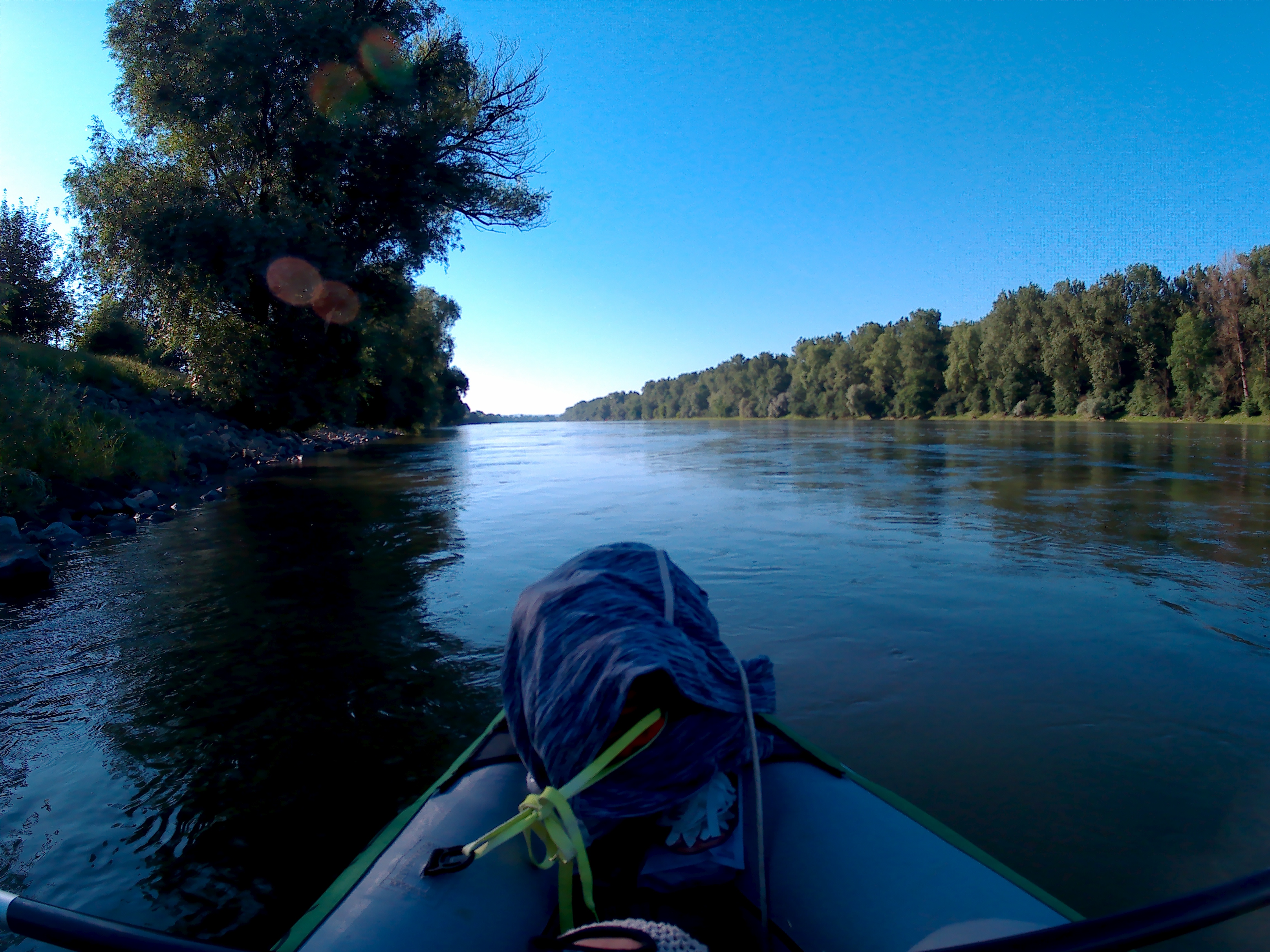
The Isar joins us at 7:45 and our speed increases. We keep paddling on the left side close to the shore expecting big boats to appear on the river anytime now. It’s really nice to see us pass the trees this quickly. It’s very satisfying. At one time, we even kind of overtake a person on a mountain bike on the left shore with two dogs who are running along. Today feels good.
After 1 hour and 20 minutes, we already covered 10 kilometers of today’s trip.
The First Ships, the Ferry, and the Hiding Place
The first big ship appears behind us at 8:25. Traveling downstream, they’re also really fast with help from the current. We pass the tiny ferry near Niederalteich that doesn’t seem to be working at 8:30. Soon after, we’re dealing with a few sharp bends that we’re sure of the big ships struggle with. We keep to the left side for now.
Like clockwork, a big ship pops out of the river bend at 9:05. Due to the curve of the bend, it needs to swerve all the way to the outside of the bend, then quickly correct its course to aim at us in preparation for a bend in the other direction.
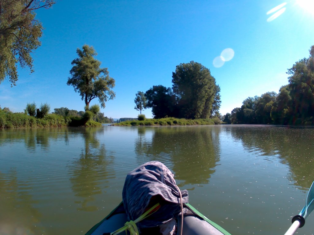
To our left is a tiny hiding place with nearly still-standing water. We duck into there to wait out the waves of that ship. It’s a really beautiful area and my map suggests that there’s an exit behind this very long kind of island on the other side. We don’t see an exit and we definitely don’t want to get stuck in shallow waters, so we wait for the boat to pass and then go back onto the river.
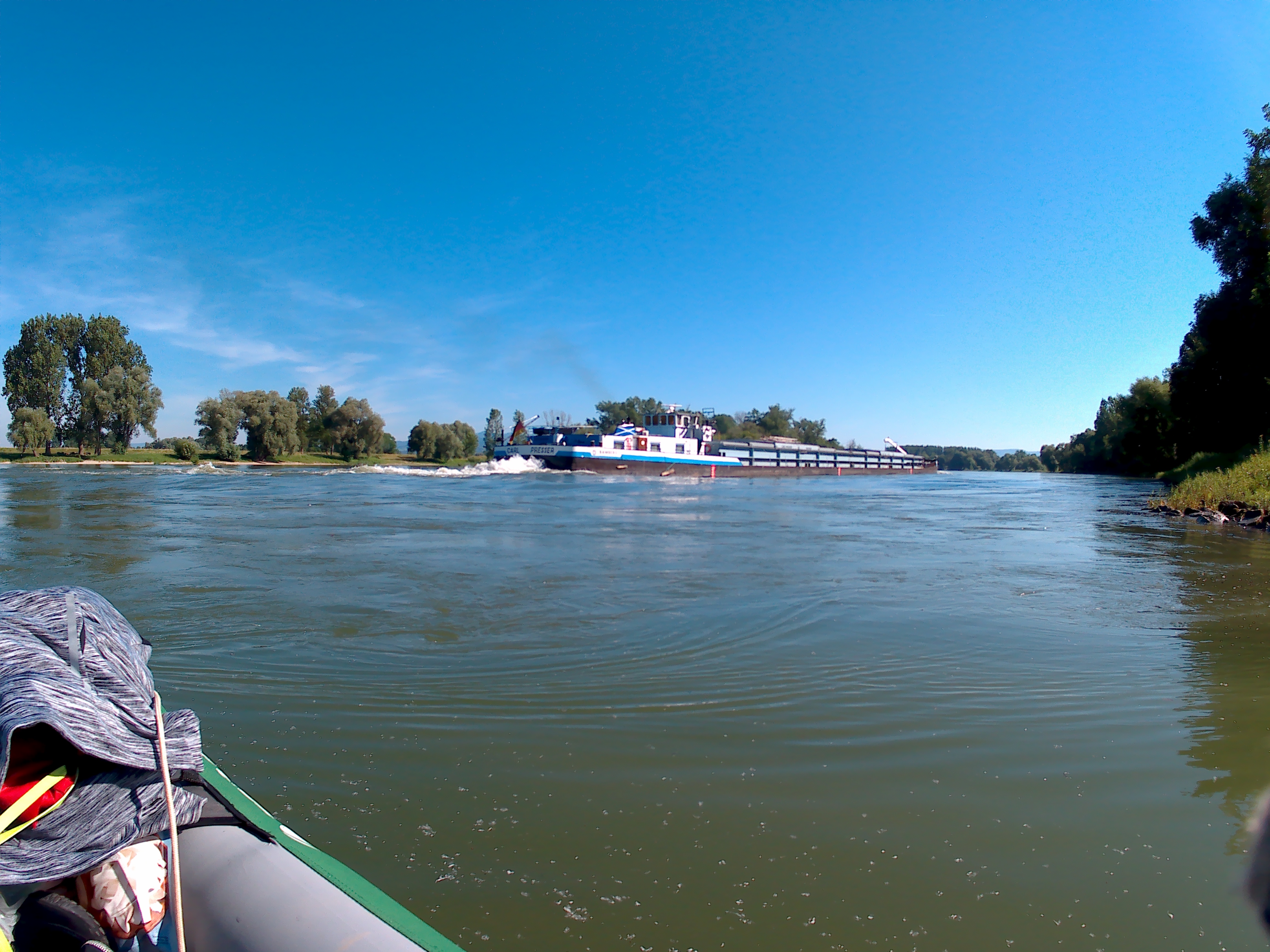
What we didn’t know, was that there was a second ship a few hundred meters behind the first one. We’ve kind of committed now to paddling on, so we’re trying to stick as much to the shore as possible and hope that the big boat makes a little space for us.
The big boat does move to give us space and even seems to slow down a little. It seems to be intentional to give us a bit of a break. We pass by the ship and look at the captain’s box of the ship named “Würzburg”, and he waves at us and we wave back as a thank you. That’s the first time we’ve had such an interaction with people of one of the commercial ships on the Danube.
We Name Them “Speedbumps”
The new kind of infrastructure that we got to know on our way from Straubing to Deggendorf is still here. It’s hard to describe, but they’re kind of like underwater breakwaters that are meant to slow the river down and prevent it from scouring the riverbed. They are usually in the areas we try to paddle in. Some of them are more shallow than others, so we often need to dodge them to avoid scraping our fin on them.
We really don’t know what they’re called. The communication between Jonas and I has to run smoothly while we’re paddling to make quick decisions. So far, I’ve only warned Jonas by saying “There’s another one of those…” which isn’t exactly very specific. That’s why we have to name objects and potential hazards ourselves. I suggest the name “speedbumps” because that’s kind of what they are and what they do.
After the tight turn at kilometer marker 2270, we encounter some fishermen on the left shore. It’s across the river from a village with a shore-side beer garden called Mühlham. We need to take a break and find a spot before the speedbumps start again to make a quick landing from 9:20 till 9:30. Unfortunately, the pebbly beach, slower moving water and a shadowy area beneath the canopy mean we’re in a mosquito zone. I get bitten in the butt in the short time I need. Jonas fights off mosquitos as well.
The Halfway Point Between Deggendorf and Vilshofen an der Donau
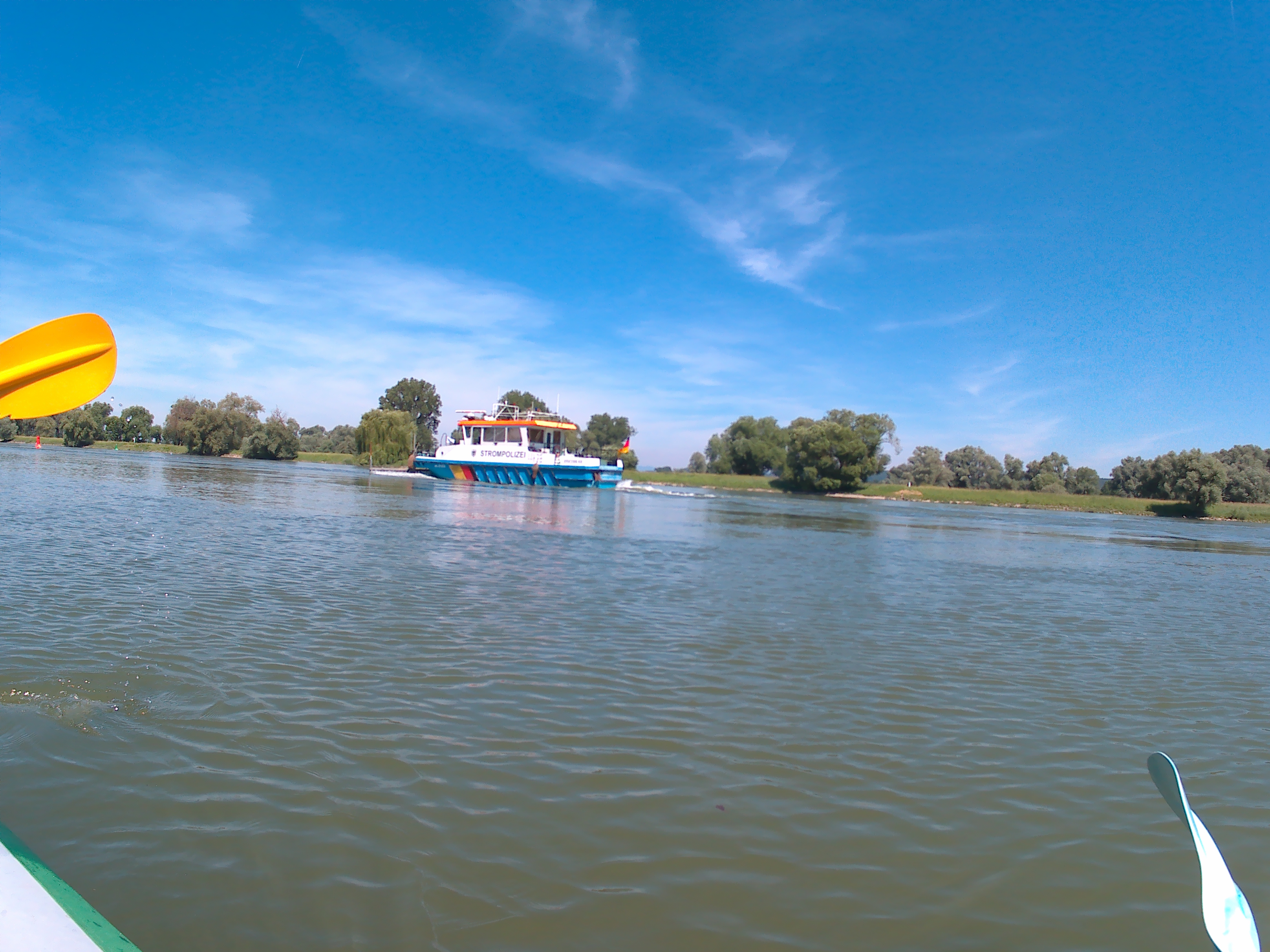
By 10:00 we’re halfway. It’s been going very well today and I’m not worried whether we’ll arrive. In one turn, a boat awaits a big double-width boat from the other side. They’re followed by some special police boat. The sun is out and it’s a good time to reapply sunscreen. We switched to the other side of the river for another tight turn and to dodge the motorboat marina in a town called Winzer. The TID (Tour International Danubien) people stay the night in Winzer a few days from now. We’re skipping it.
There are some people on jet skis on the water that keep me more alert. There’s a special sign that says this is specifically a jetski zone. I think it’s a little weird how some towns seem to have a wakeboarding focus and others a jetski preference. Seems weirdly specific.
In the distance, I can see the wet paddles of two people. First I think it’s a common rowboat, but later I see it’s a canoe. I’m very motivated to keep the pace, and for the first time ever (probably), we seem to be faster than them as our distance decreases. We’re going through the final sharp turns before the river becomes more straight when we overtake the kayak while they’re taking a break on land in a village called Hofkirchen. It doesn’t really count.
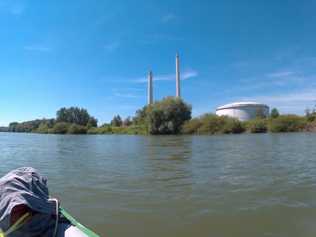
Close to Hofkirchen is also another industrial zone that functions as a landmark for us. On the map, it says the name is “Kraftwerk Pleinting”, which means it produces electricity. Jonas said before that if it’s not specified on the map what kind of power plant it is (e.g. ‘hydroelectric’), it’s probably something evil like burning coal or oil. The nautical map clearly tells us not to paddle into the cooling water canal, unlike the regular map.
The Final Leg to Vilshofen an der Donau
We are really on a roll for the last stretch to Vilshofen. There are no speedbumps anymore and the river is fairly straight. We do notice that the river has slowed down a bit, which probably means that the Kachelet dam downstream of Vilshofen is already having an effect. It’s been fun today mostly thanks to the push the Isar gave us.
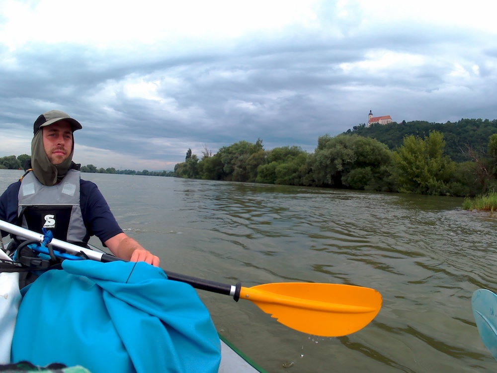
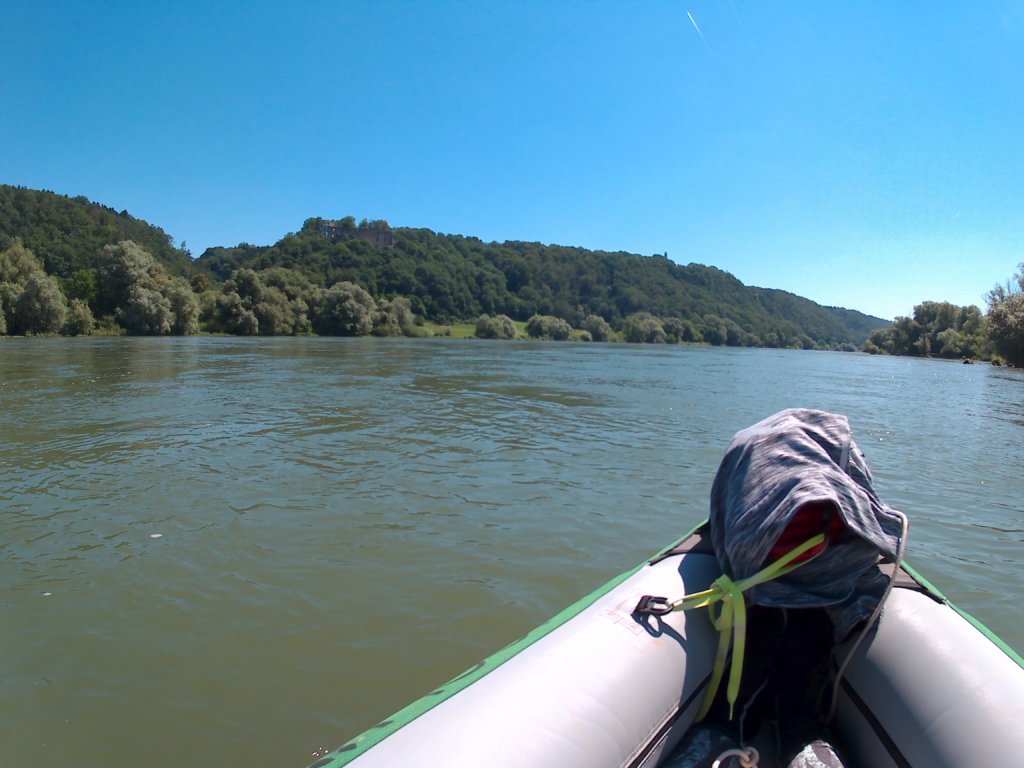
There are some river islands that we need to stay on the left of as they’re not passable because it’s been connected to the land on the right side, more like a peninsula. In the distance of a right bend, there’s a ruin of some castle on a hill. It’s very pretty and I find out on the map that it’s the Burgruine Hilgartsberg.
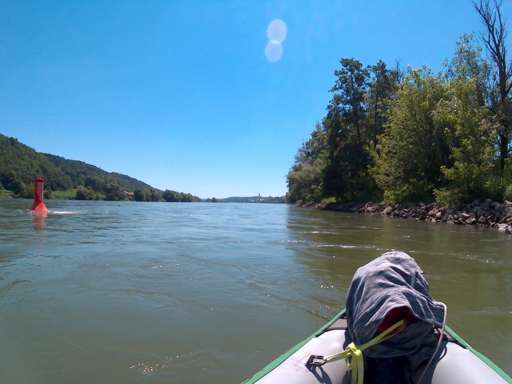
After the river island/peninsula, a gap appears that sucks in the water from the Danube. That entire little area of water behind there lies much lower than the Danube, which means it tries to constantly re-establish an equilibrium. A similar area appears directly after that, but it’s much longer. We can already see the bridge that spans the shores in Vilshofen.
We take a short break on the long and skinny riprap artificial island/peninsula. It’s really difficult to climb over those stones, especially if they’re a little wet. The area is quite overgrown, except for at the marker stones that indicate you’ve done another 100 meters.
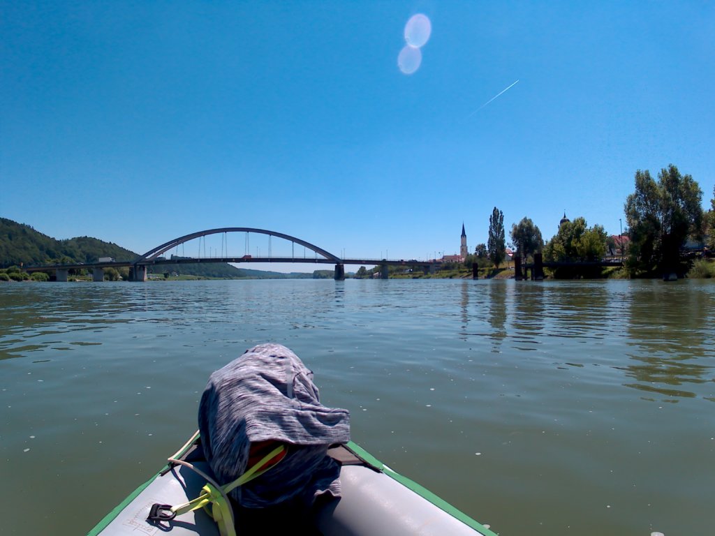
The last bit to Vilshofen feels like it’s getting longer and longer as we’re getting slower. Our plan is to land our boat between two piers in Vilshofen where we’d spotted some stairs on the satellite image. A speedboat appears behind us and we’re not sure if they’ve seen us. Why is it always that they can use pretty much any part of the river, but always aim at us?
Preventatively, I blow my whistle really loudly. The boat turns away and overtakes us from the left. The people aboard – a middle-aged man and woman – aren’t mad, and just wave at us before turning their boat to dock into the tiny marina at the campground of Vilshofen on the left-hand shore. This is OK.
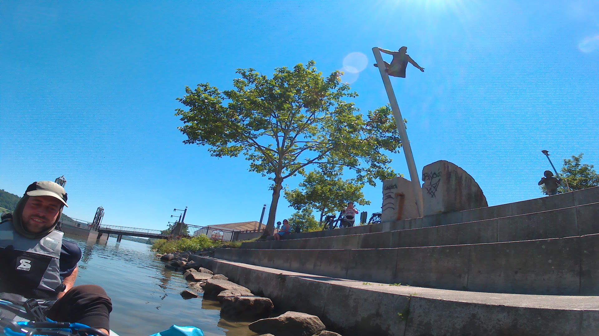
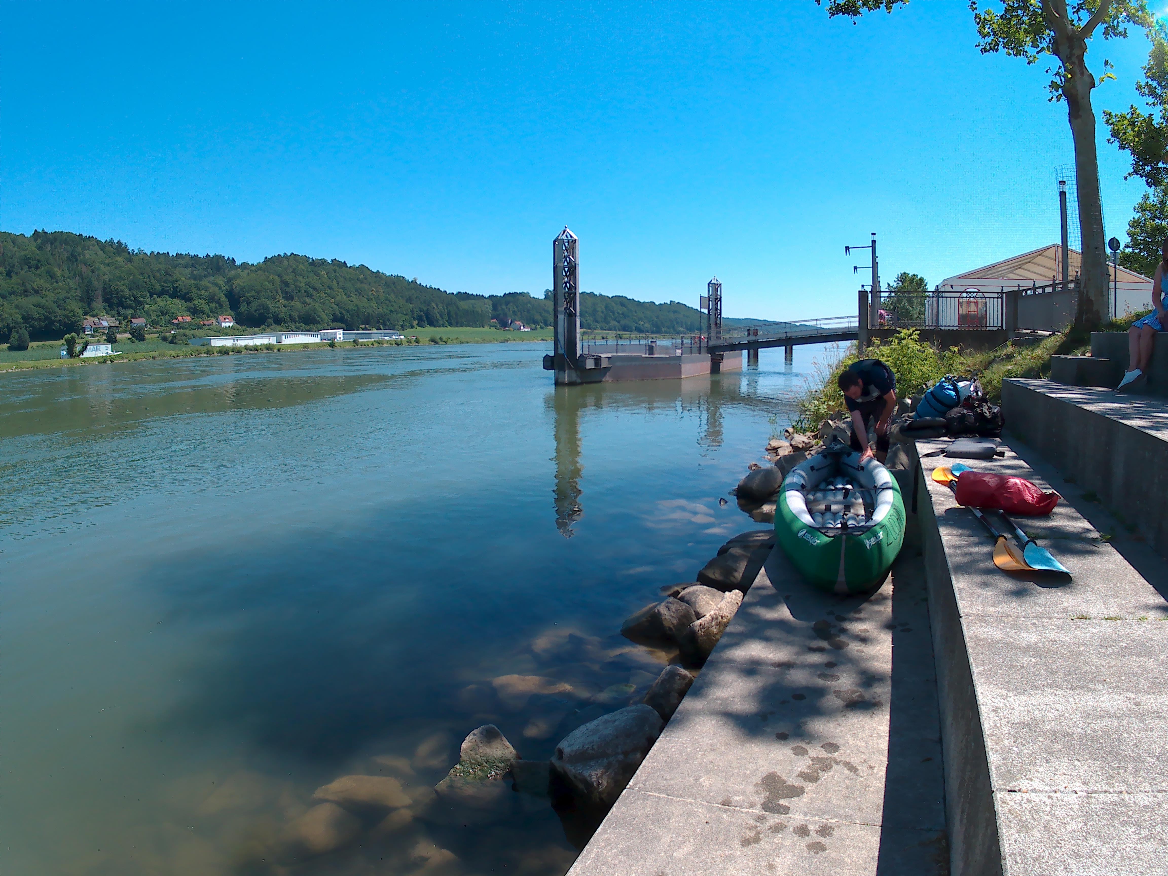
We land our boat at the big concrete steps of the esplanade of Vilshofen where some working women are relaxing at. There’s a little bit of shadow, which we intend to occupy. The steps are big, so it takes a bit of effort to get out of the boat. I look at my watch and it’s 12:45, a great time to have done some 35 kilometers!
Checking In to Vilshofen and A Floating Carcass
The first order of business is checking us into our accommodations for the coming two nights. Gasthof Wolferstetter Bräu is closed between 14:00 and 17:00, so if we get the key now, we can just let ourselves in at any time. Jonas dries his feet and goes there with the two dry bags while I pack the other stuff and help the boat dry in the hot sunshine.
There are two women also sitting on the same stairs in the shadow. One of them leaves, but then another woman who knows the one that stayed appears and also sits down to have a chat. All of the women dress in a sort of summery business-casual. She seems to have many friends, a very very long break, and a magically endless supply of cigarettes.
The red canoe with two people floats downstream and past Vilshofen. They’re not making a stop here apparently and Hofkirchen apparently wasn’t their final destination. Jonas returns right when I can still point at the canoe people in the distance.
Then something strange floats by on our side of the river. The women go silent and also stare at the thing we know is no bueno but also aren’t sure what exactly it is. It’s brown, has four leg-like things, and is very inflated. It must be the carcass of some dead animal. I think it might be a goat, but it’s hard to see when its head is lying in the water. I knew something involving corpses would happen on this trip.
Jonas thinks it’s a beaver, but I think it’s a goat or a large dog or some other mammal that isn’t known for its great swimming skills. We pack up our boat and I keep thinking about the carcass and how it leaves me extremely queasy not to know what kind of animal it was. “Not human” simply isn’t good enough of an answer.
Jonas guides me through Vilshofen to the hotel. Vilshofen an der Donau is a very cute town at first sight. After putting everything in the room and taking a shower, we go to eat a burger in town. It’s kind of the perfect size for a town, as everything is quite nearby. When we return, there’s this awful smell coming from our water shoes and neoprene socks. I’ve always washed them after a paddle day, but Jonas hadn’t seen the need yet. Now he’s seen the light.
The internet is OK for Jonas in the room. We relax and go to bed quite early, probably because we’ve reset our internal clocks on what’s a good time to go to sleep. I feel quite wavy from spending the whole day on tiny waves produced by big boats, kind of like when you’re back on land after spending time at sea.
From here we have only one more stop left in all of Germany on our kayak trip: Passau.
Thanks for Reading! Please Share this Story with Your People