


")


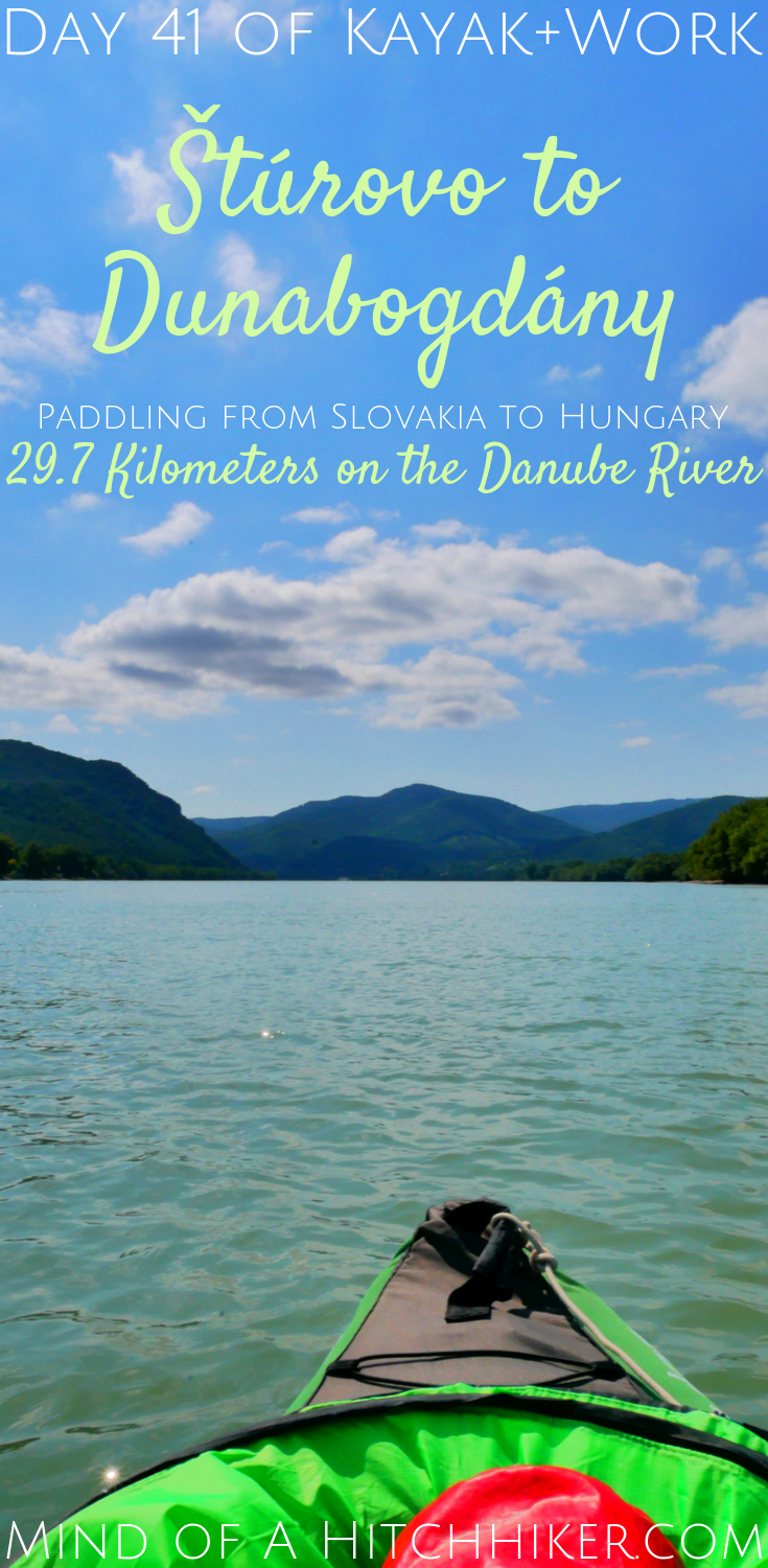
The events in this story happened on Wednesday the 21st of August, 2019. Jonas and I paddled Zucchini from Štúrovo in Slovakia to Dunabogdány in Hungary (Zucchini is our inflatable kayak). After Štúrovo (Slovakia) and Esztergom (Hungary), the Danube river makes a sharp turn southward. The river is now completely in Hungarian territory. This was a distance of 29.7 kilometers.
Want to travel the (entire) Danube River in an adventurous way? Join our Facebook group Danube River Source to Sea: Kayak / Canoe / Bike / Hike / Sail to find your community
Our Two-Night Stay in Štúrovo/Esztergom
Our Booking apartment was next to the pedestrian zone of Štúrovo. Štúrovo is yet another spa town, like Kúpele Patince. As it was August and the height of summer, this meant that there were loads of families out and about with inflatable pool toys squeezed under their arms. Their free hand would either hold a smartphone or an ice cream cone.
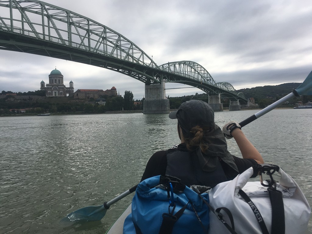
On our off-day, we visited Esztergom across the river. Esztergom is part of Hungarian territory. The Mária Valéria bridge has the “Welcome to Slovakia/Hungary” signs somewhere in the middle. It’s really great that no one has to stop and show passports or IDs. Freedom of movement is just a really good thing. Mostly because we can go to the place with the better dining options in the other country on foot.
Hungary had its public holiday that day. Eating out in Esztergom was probably a terrible idea; businesses could be closed on a public holiday or completely reserved. But when we were there, we had no problem finding Jonas a pizza. I had a big plate of pasta. Carrying both currencies – Euros and Forint – proved again to be a smart move.
In the evening, we packed up our bags again to paddle on to Dunabogdány – the last stop before our target city Budapest.
Leaving Štúrovo for Dunabogdány
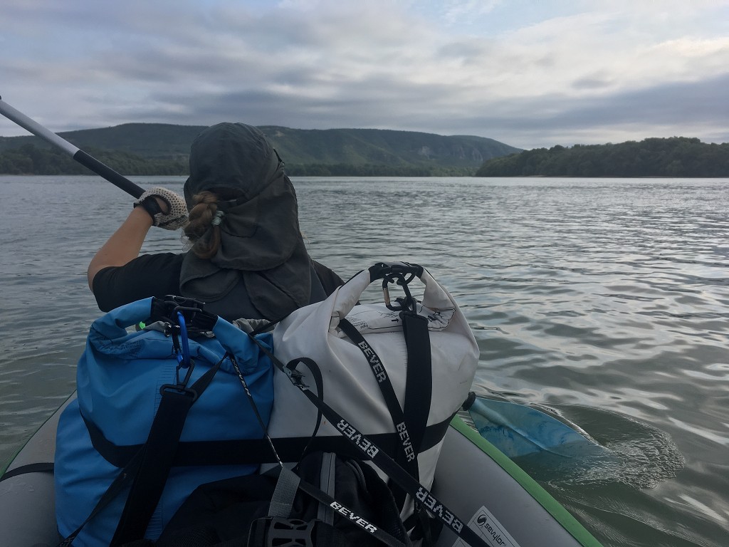
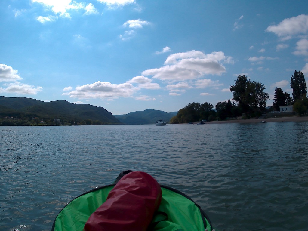
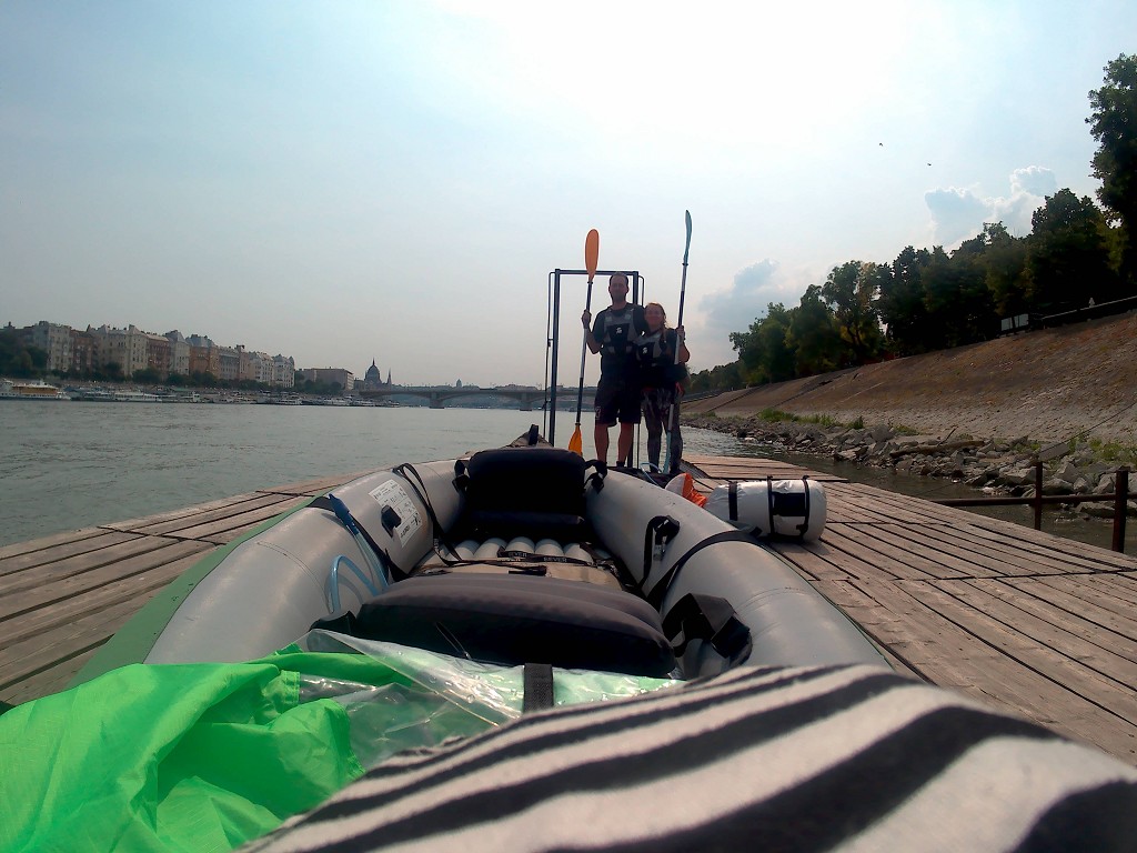
We left the apartment and walked back to the place we landed at. There’s also some kind of boat club there, though we haven’t seen anybody make use of the premises. We inflate our boat on the embankment and then carry it down to the riverside. The beach was riddled with broken glass when we’d arrived, and two days of celebrations probably didn’t alleviate the situation. Our Zucchini remains fragile to sharp objects.
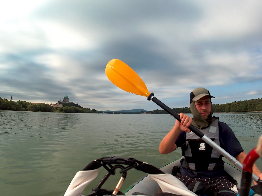
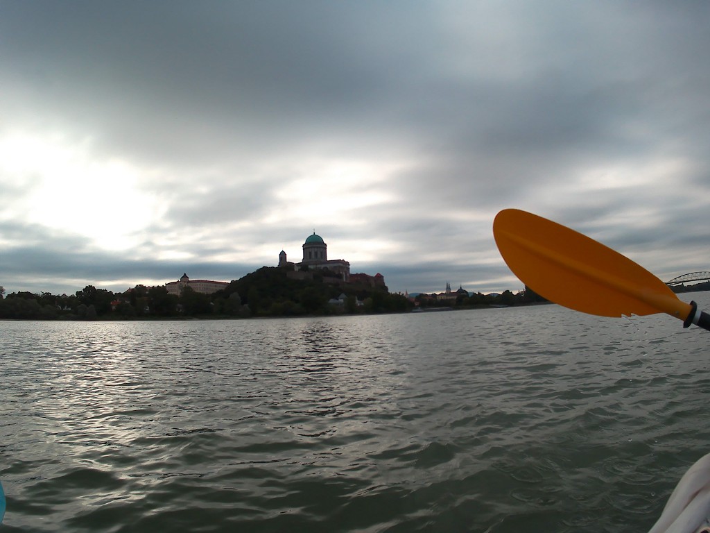
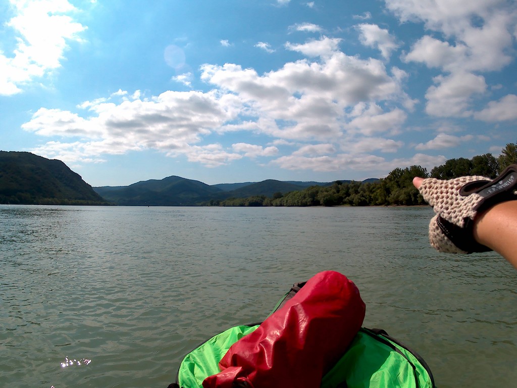
We’re paddling toward Dunabogdány by 8:50 and we stick to the left-hand side of the Danube. It was quite windy already, but we couldn’t decide whether the wind would help us today or make things more difficult. We went under the Mária Valéria bridge and that was that for bridges between Slovakia and Hungary. We caught a final glimpse of the basilica of Esztergom and off we went in a fairly good current towards Hungary.

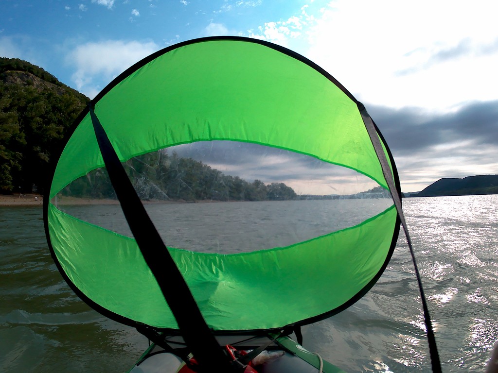
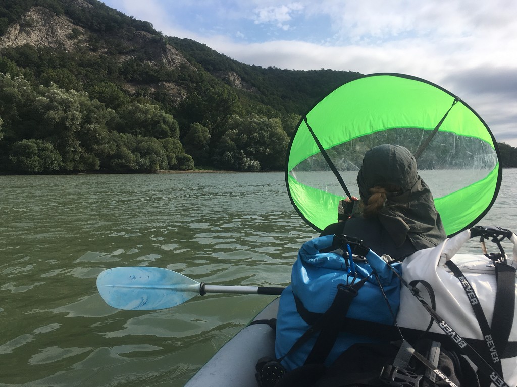
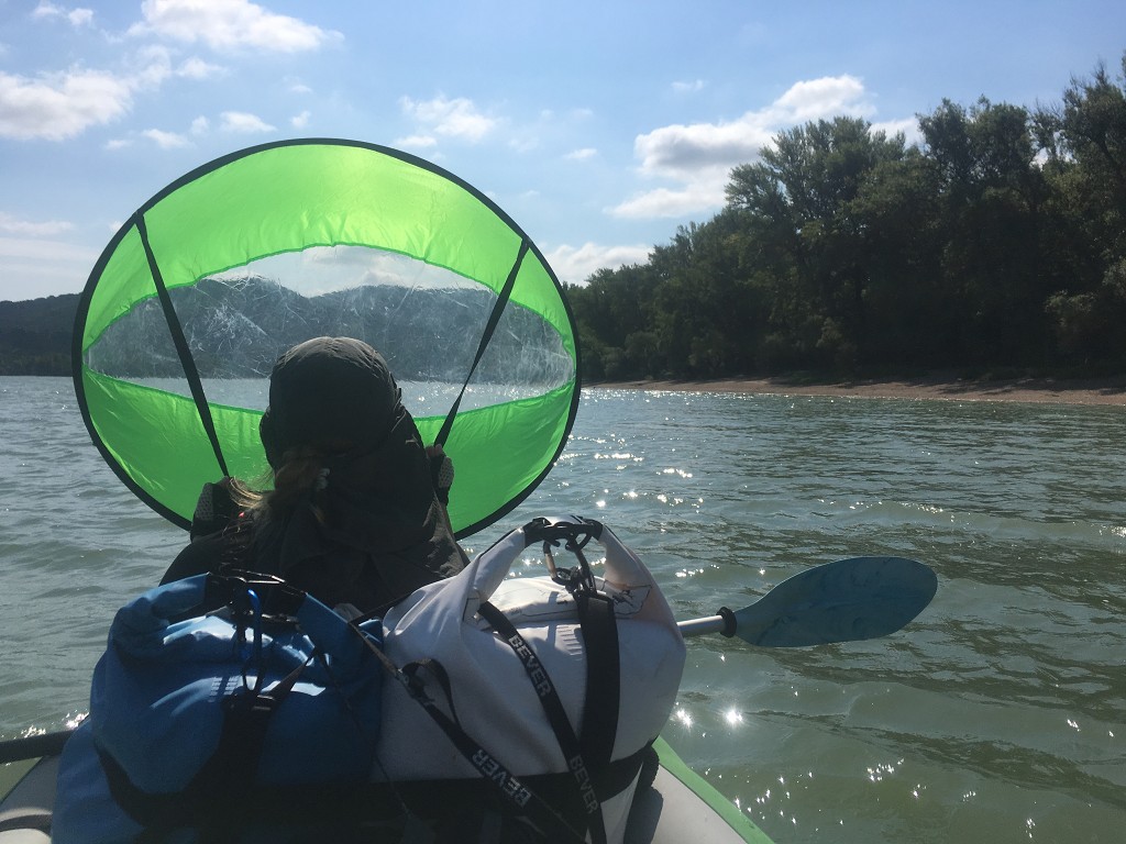
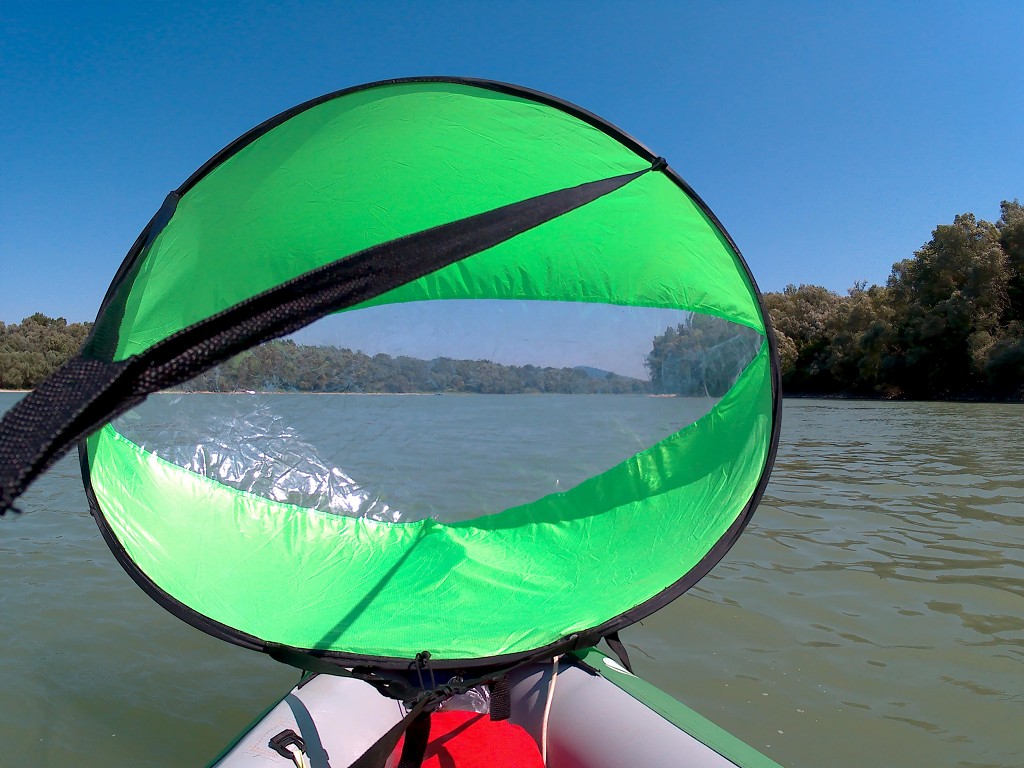
The clouds are particularly pearly this morning. The river turned right and we already dealt with our first cruise ship. It was quite busy already in the morning. To our left, the river Hron joined the Danube. People were already fishing near the confluence this early in the day. We use the kayak sail for a little bit once we’re traveling southeast.
Entering the Hungarian Danube
The shipping lane crept to the left in anticipation of the sills (speedbumps) before the Hungarian Helemba island (sziget). Another cruise ship traveled past us downstream. A few minutes later, we saw the ship’s wake lay bare the sills by clashing onto them with a force. Good thing we’re not trying to pass the island on that side.
A passing train on the left shore makes quite the noise, like thunder. Once we’re parallel to the Helemba-sziget, we cross from left to right. There were a few people camping on the island. I don’t trust anymore that all paddlers oblige a ‘leave no trace’ policy when consuming nature. It’s sad that the amount of trash in the river has significantly increased since… well, Komárno/Komárom.
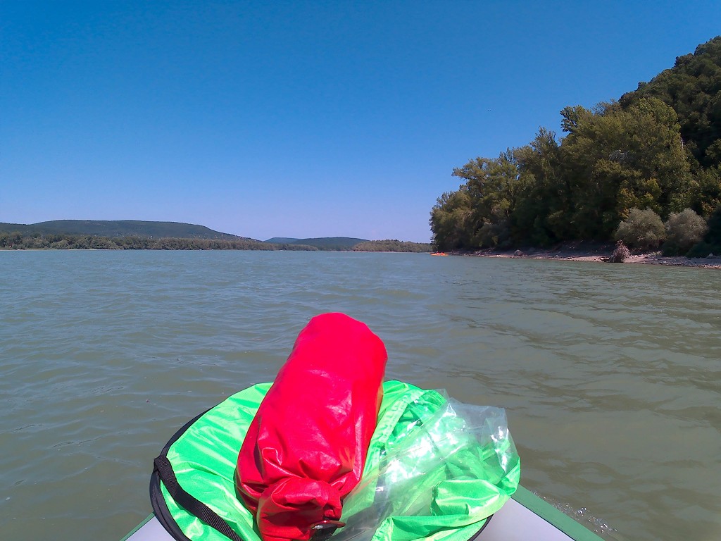
After Helemba-sziget, there were a few sandy river islands in the middle of the Danube. We had to make sure not to get too close to them, as often suddenly we’d see the shallowness increase abruptly.
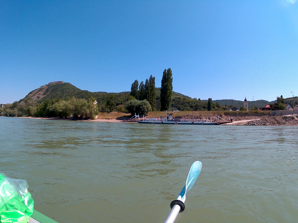
The confluence of the Ipoly/Ipel’ river with the Danube on our left marked the end of Slovakia. The Danube is now not a border river anymore, but completely in Hungarian territory. There’s a mapped wildcamping spot on the Hungarian corner. Almost immediately afterward, there’s a ferry between Szob on the left and Pilismarót on the right. This is just a short introduction to how much Hungary loves its ferries.
The Danube Bend
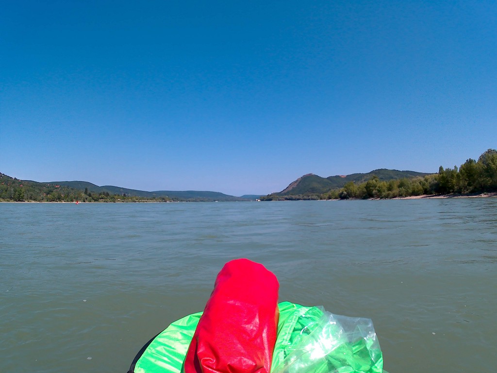
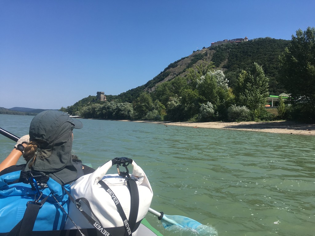
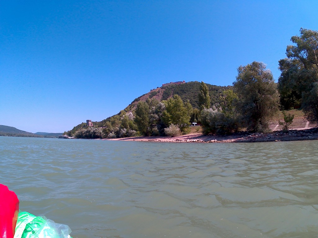
The Danube makes a sharp right turn, where we encounter yet another ferry at the town of Zebegény. An unambiguous tailwind picks up. We’re entering an area called the Danube Bend (Dunakanyar) that’s quite the tourist destination. The sharp right turn is just a precursor to the following even sharper left turn. Some 15 million years ago, a volcano erupted that formed a caldera. Once the Danube broke through the mountains, one edge of that caldera formed the U-shaped Danube Bend.
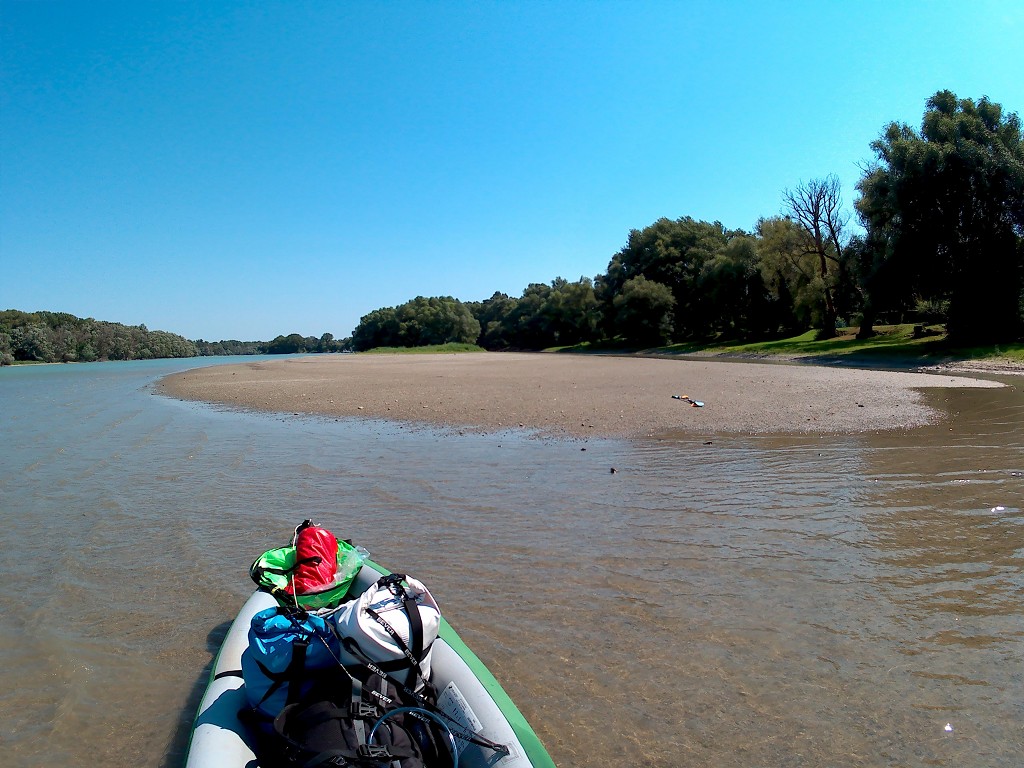
We make a stop on the right-hand shore. I find out on my map that this beach is very nearby the ruins of a Roman watchtower. During those times, the river formed part of the outer border (Latin: Limes Romanum) of the Roman empire of the province named Pannonia. I decide to walk there with my camera while Jonas champions another sandwich and watches Zucchini as a hydrofoil ferry pass by. Later, we see the rare occurrence of a cruise ship overtaking a cargo ship traveling downstream.
The beach here is called Pilismaróti Ezüstpart, or the ‘silver coast of Pilismarot’. There are many shells of mollusks on the beach, which confuses me a bit. Perhaps they trucked this in to make the beach look grey or silver. I hop over the dune between some trees and end up on a path behind the river. The inland, with its ability to absorb rather than reflect the light, confuses me. My soggy neoprene socks squelching in my boat shoes add to the feeling of being out of place.
I walk through a field towards what on my map are the old ruins. The trail bends around the ruins, which is an area overgrown with trees and menacing plants that will probably hurt. I try to look for ruins or some sign of civilization, but I see nothing but vegetation.
I walk around the whole thing and reenter the beach from the other side. There’s a car parked where I jostle between the trees. I know someone is camping on the beach here; from the river, we’d spotted a tent. I walk back to Jonas over the exoskeletons of bivalve mollusks without encountering another living soul. Once I see Jonas sitting in the shadow of a tree on the beach with the backdrop of the Danube and the forested mountains, I feel inspired and very much alive.
Sailing to Visegrád
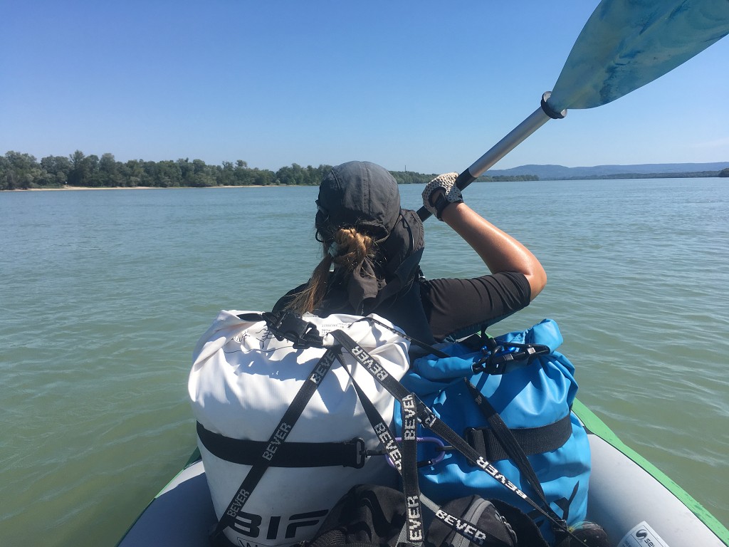
We leave our beach and enter the final stretch of our day at 11:40. I directly deploy the kayak sail. The wind is strong, the shipping lane narrows. We cross paths with the ferry of Dömos and Nagymaros.
Somewhere at Nagymaros, the final part of the Gabčíkovo-Nagymaros dam project between (Czecho-)Slovakia and Hungary should have been built. Because it has never been built, the Danube isn’t navigable on this particular stretch for about three weeks of the year; the water levels are simply too low. The Danube is the seventh of the ‘Pan-European corridors‘. Those corridors are transport networks that have been identified in 1994 as important and in need of major improvements over the next 15 years. That’s more than 25 years ago. This particular stretch of the Danube still doesn’t have a solution.
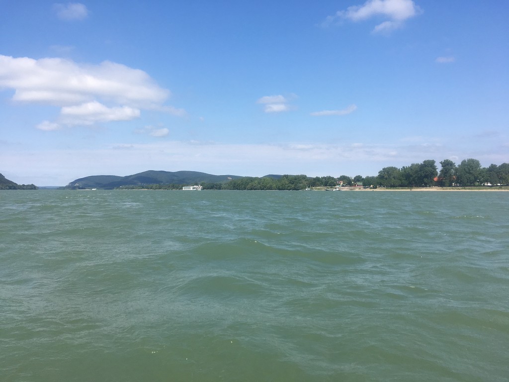
The turn around Saint Michael mountain (Szent Mihály-hegy) opens up the view to the castle of Visegrád. We slowly run out of tailwind as we keep turning, so I put the kayak sail away while we gauge the danger ahead of us. The water is really choppy and the wind sometimes splashes up the water high enough to land in our boat. There are no clear signs of where the dam should have gone.
We cross paths with the car ferry between Nagymaros and Visegrád and observe many large and small cruise ships turning, docking, or departing from one of Hungary’s major sites. Both Visegrád Castle and the Danube Bend are apparently on the tentative list for UNESCO World Heritage site.
At the Salomon tower, we pass around one large Avalon cruise ship that has its engines on, hoping it won’t leave while we’re paddling by. Apparently it’s lunchtime, as the bottom dining room is full of old people chewing. Jonas says the engines are probably on to keep the airconditioning running. Makes sense.
And yes, this is the Visegrád that named the Visegrád Group. The Visegrád Group is a cultural and political alliance between Poland, Czechia, Slovakia, and Hungary. It predates the accession of these countries to the European Union by 13 years.
Szentendre Island
Here in Visegrád, there’s a bifurcation of the Danube around the Szentendre island. The left part of the fork features the big shipping lane. The right part of the fork leads to our destination of the day: Dunabogdány. It’s also 2 kilometers shorter as the island is in a large river bend.
A lot of people are on the tip of the island (szigetcsúcs), with some people having waded into the water very far away from the trees. There are some people in a kayak who are reentering the river while we’re also paddling in the same direction. With the help of the kayak sail, we duck into our chosen arm of the Danube (Duna) river, named the ‘Szentendre-Duna‘ instead of the regular ‘Duna‘. We’re about to overtake them with our fabulous speed when they land on the Szentendre island to have another break.

The river narrows and becomes quite shallow. I kind of expected this smaller arm of the Danube to be like the young Danube 1000 kilometers upstream, but there are still red and green buoys in the water to guide motorboats. But kayaks and canoes dominate this stretch for sure. It’s like a little zone where the motorboats know that they’re welcome, but not that welcome. A few motorboats travel at slow speed up and down the narrow river, probably knowing that one navigational error will probably beach their heavy motorboat dramatically.
Arriving in Dunabogdány
The wind dies down in the treelined stretch. We pass the town of Kisoroszi on the Szentendre island and its little ferry. The island isn’t very well-connected to the mainland, so these ferries are quite important for the inhabitants.
We paddle on and navigate with our phones to the spot we’ve marked on our maps as a good landing spot. The hot summer days have effectively drained the Danube and sucked the moisture off the land, so the river doesn’t look much like the satellite photo we’d used for finding a landing spot. There’s a sudden sandy island that’s not on our maps at all, and that’s where we run aground. It’s almost 13:30.
Jonas gets out of the boat and checks his map again. “We’re here,” he says. I also get out and hold Zucchini on the leash. I pull our light kayak a little further through the shallow water and see that the fin leaves behind a trail in the sandy riverbed. Jonas crosses from the sandbank island onto the land to check if there’s indeed a way out to the main road in Dunabogdány, where our Airbnb is at. He comes back with good and bad news.
“It’s not far to the Airbnb, but to get onto the main beach we have to walk through very slippery mud.” Okay, so my boat shoes will probably get sucked off my feet. We drag Zucchini to the mainland where we lift the heavy bags out of the boat and then carry Zucchini onto the dry land. The slippery mud wasn’t as bad as anticipated. The embankment itself is not a nice sandy beach as I’d hoped. It’s the same mud as in the water, but this time it’s very dry and cracked.
Checking in to Dunabogdány
We’re trying to eat some more of our food when a wasp comes for it. I let the wasp win and put the bun down while the pest slowly eats my food. I grab the shoes to change into land shoes and the wasp flies off, only to come back a few minutes later. It probably told its friends about the food, so once it’s back, I use my boot to squash it. Another wasp shows up to the party, and I ask Jonas if we can perhaps check in early and dry the boat at our Airbnb.
Jonas takes the two dry bags and walks the 200 meters to the Airbnb. I’m packing up our stuff in a basic fashion while putting the cursed food far away from our stuff. More wasps show up to the party. Jonas returns after twenty minutes and I’m so ready to leave. We decide that it’s doable to carry Zucchini completely inflated (minus the fin) to the Airbnb, where there’s a nice garden to dry it in. The hike is a bit difficult as there’s not a convincing sidewalk, but we manage to arrive at a beautiful villa that contains three separate units. An old man comes to say hi and asks about our passports for the tourist registration. We’re only staying here in Dunabogdány for two nights before we paddle to Budapest.
Fucking Budapest.
Budapest is only one paddle day away now. That’s also our original destination of the kayak journey. If that isn’t madness.
Thank you for dropping by!
Similar posts:
 Kayak Trip Day 40: Kúpele Patince to Štúrovo
 Kayak Trip Day 42: Dunabogdány to Budapest – The Finish Line
 Kayak Trip Day 36: Čunovo to the Danube Floodplains – Freecamping
 Kayak Trip Day 50: Mohács in Hungary to Apatin in Serbia – We Meet Again, Danube
 Paddling the Morava River – A Day Trip from Bratislava