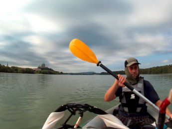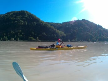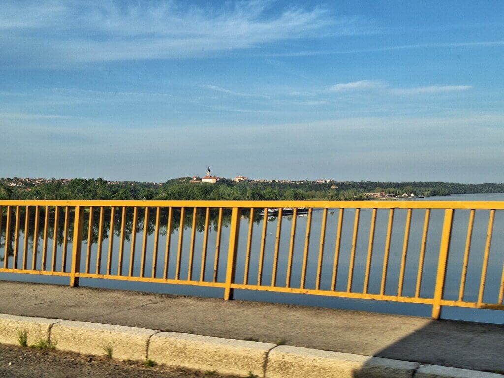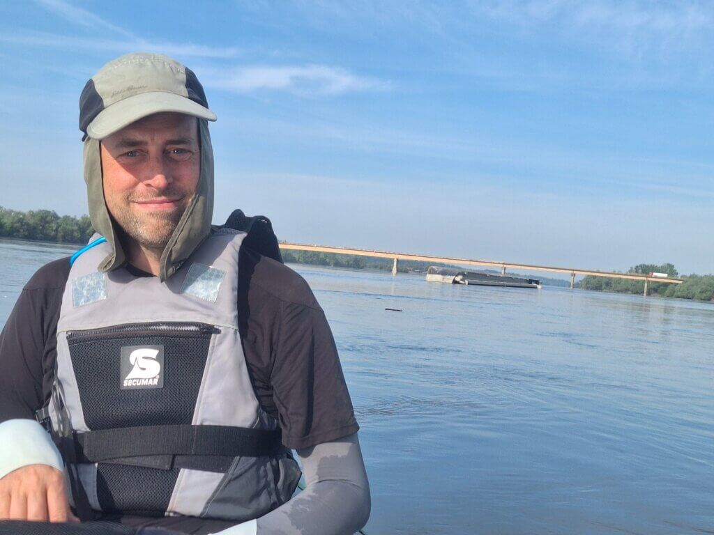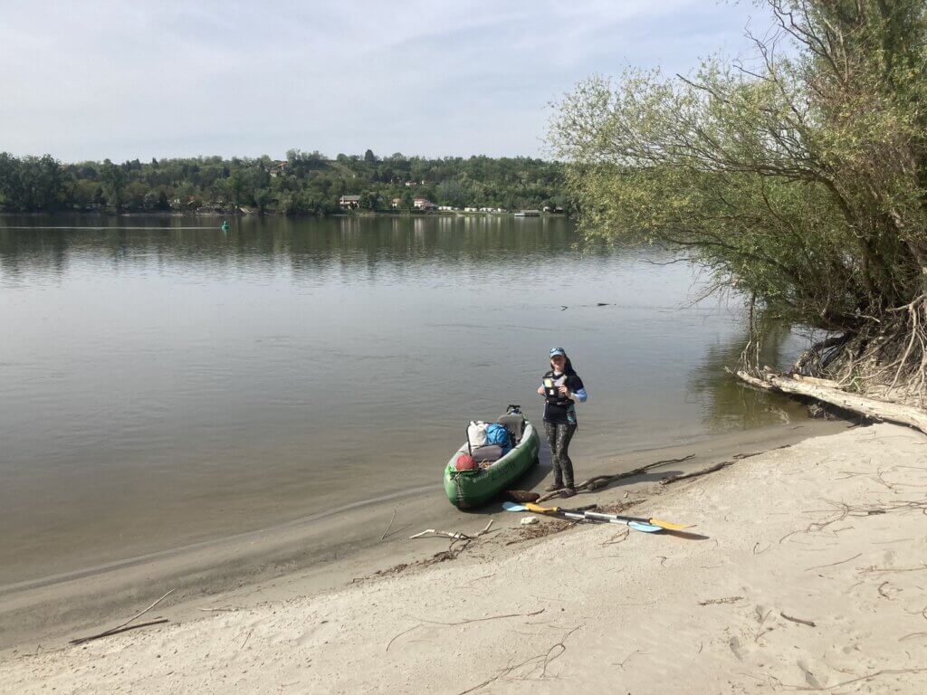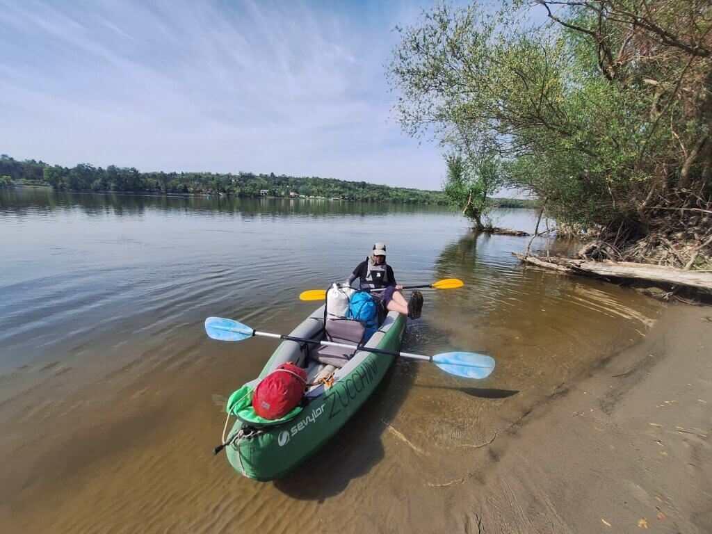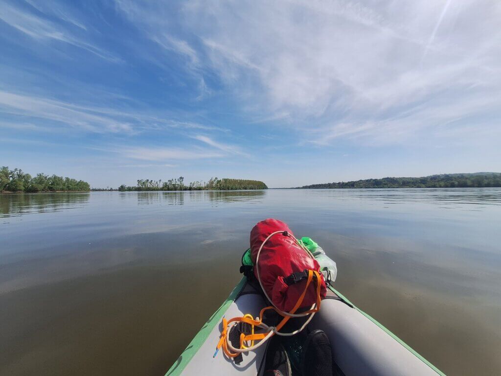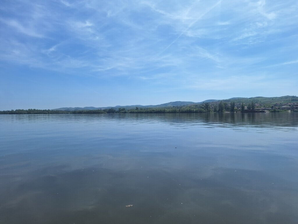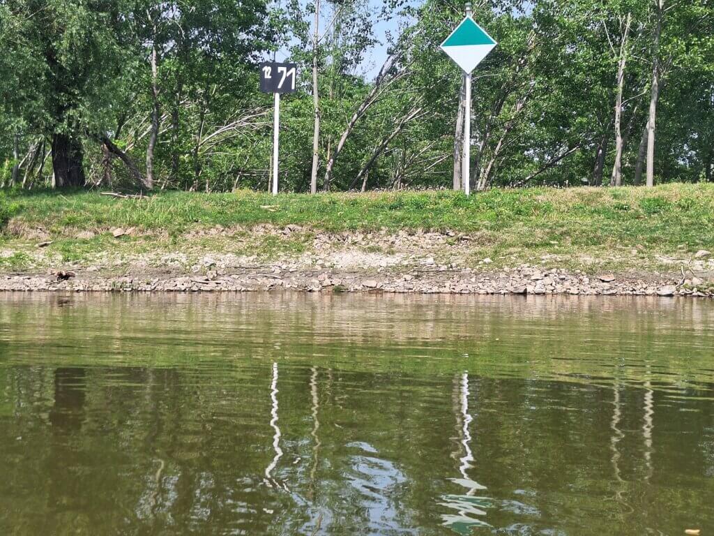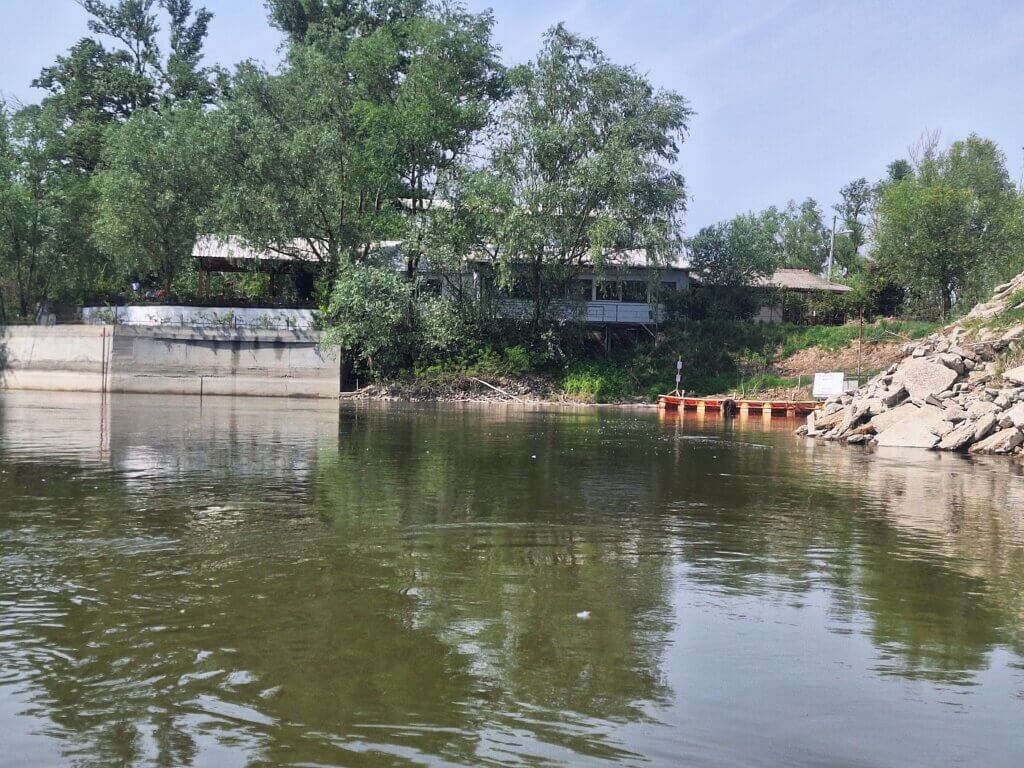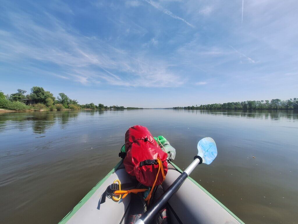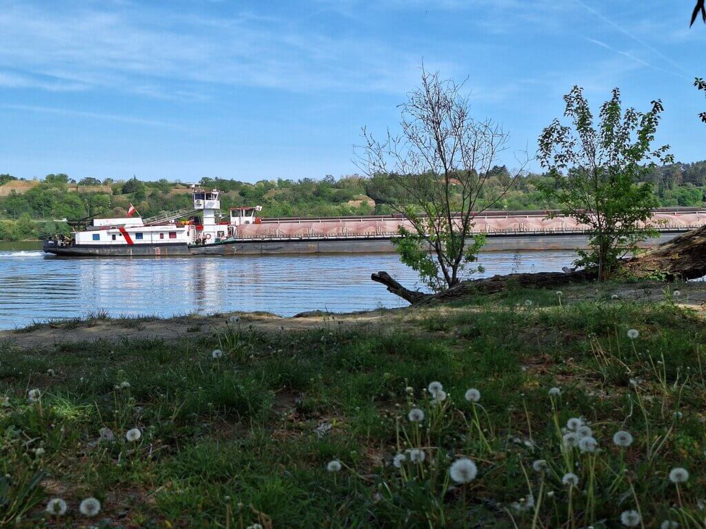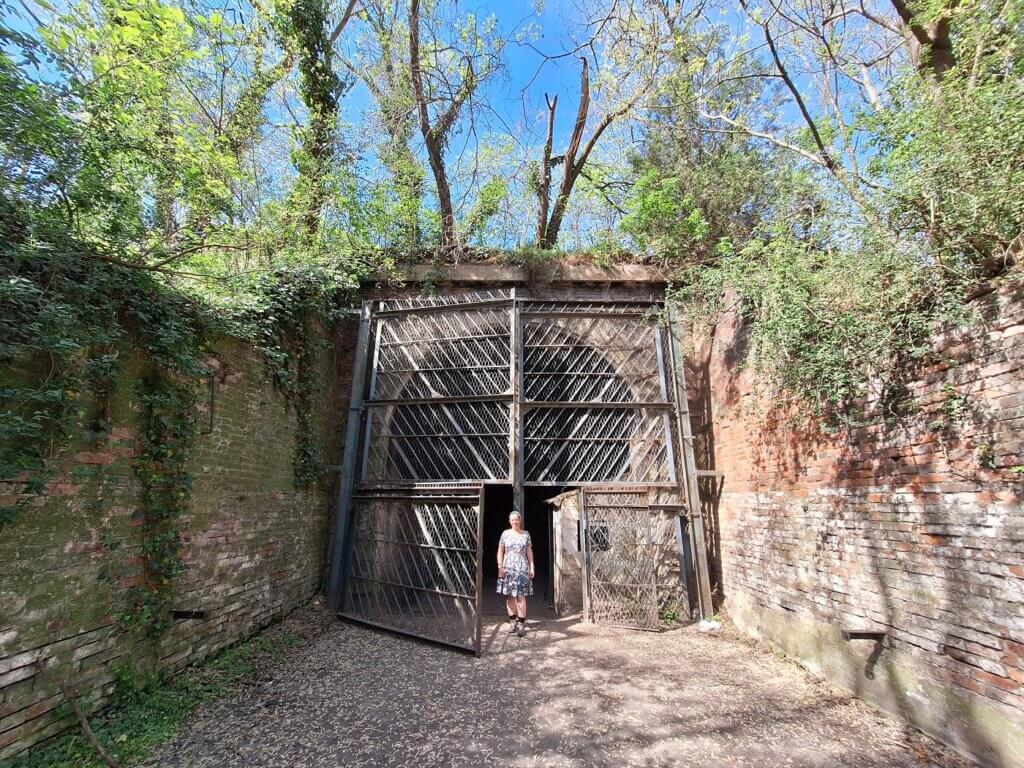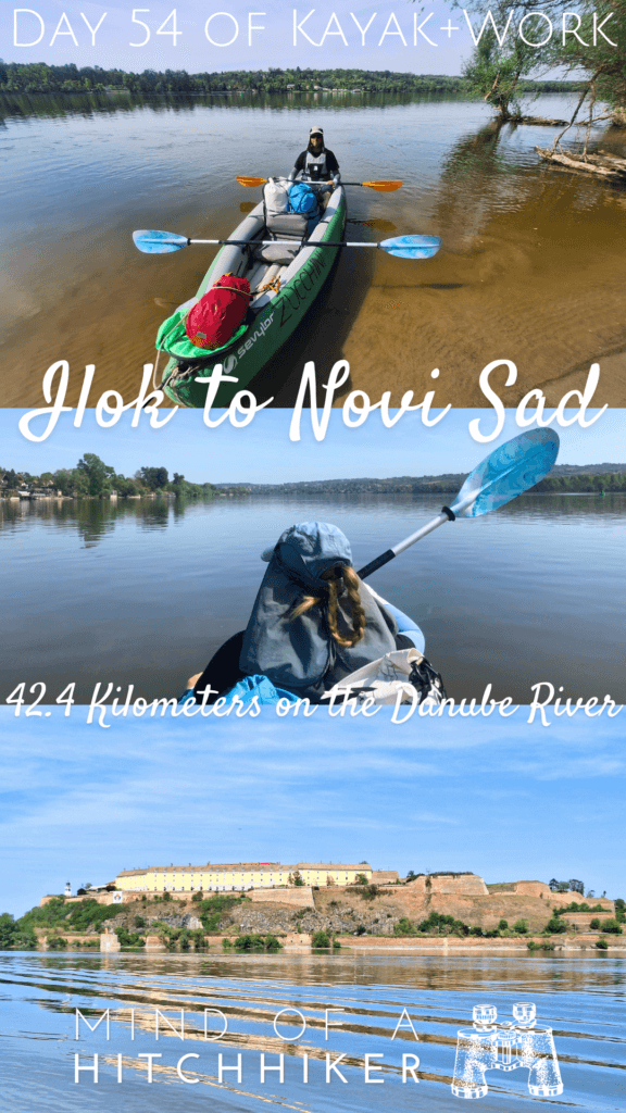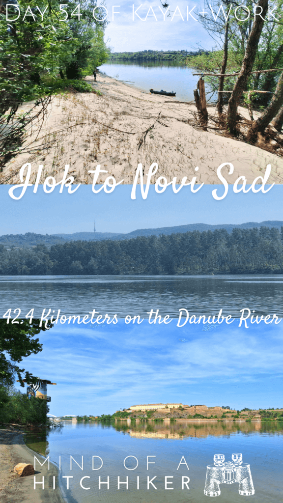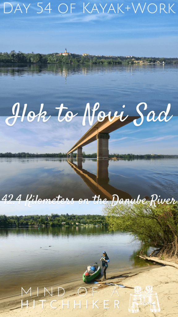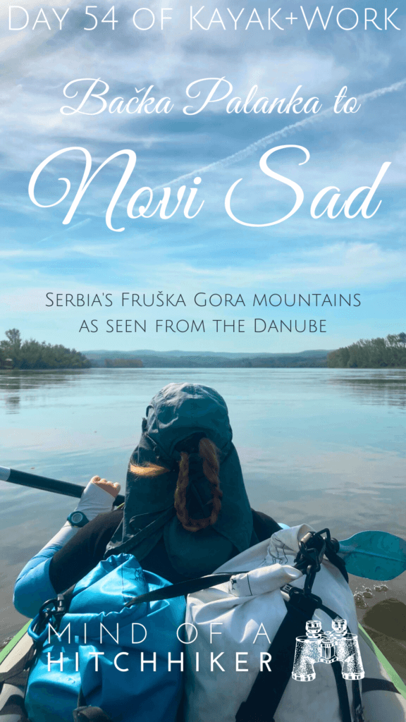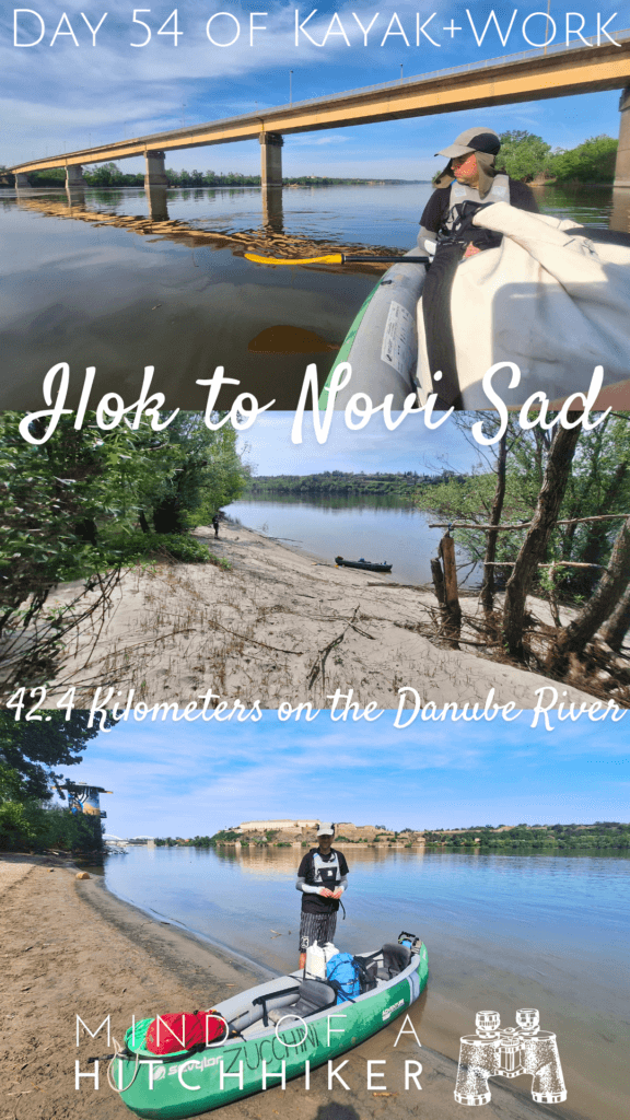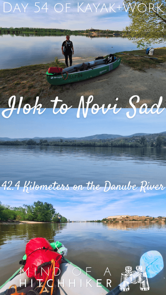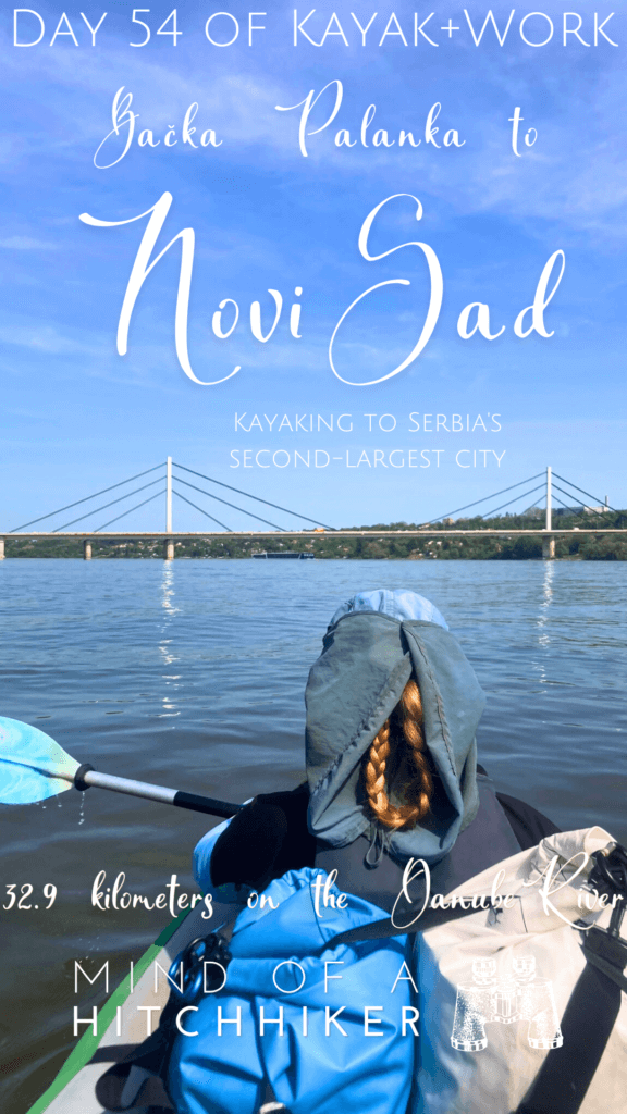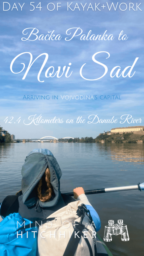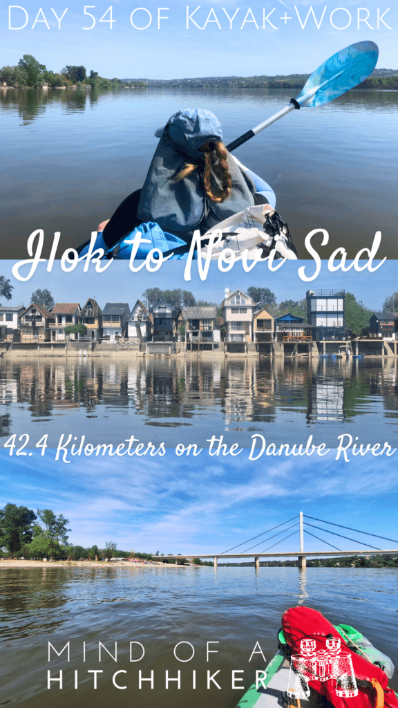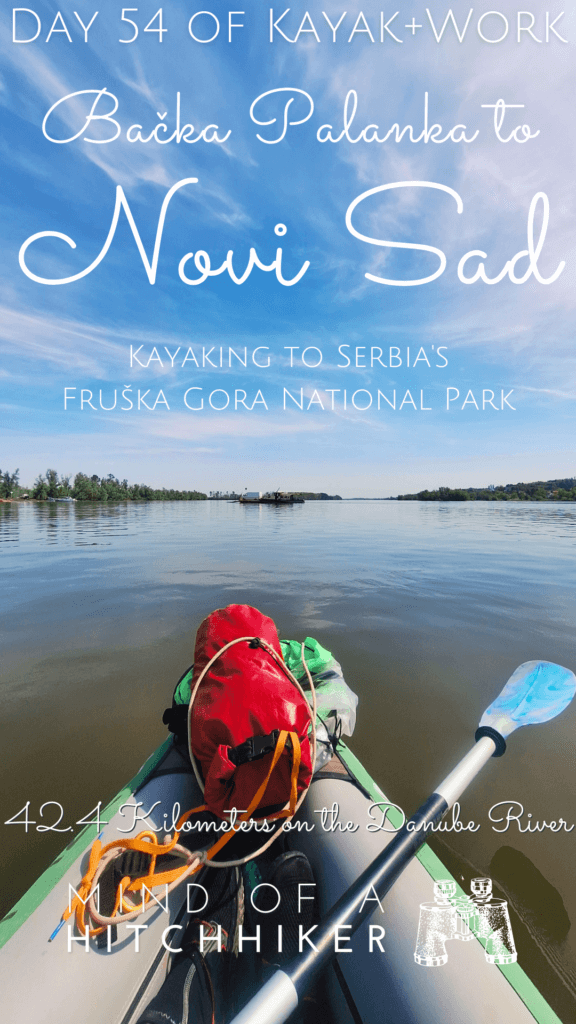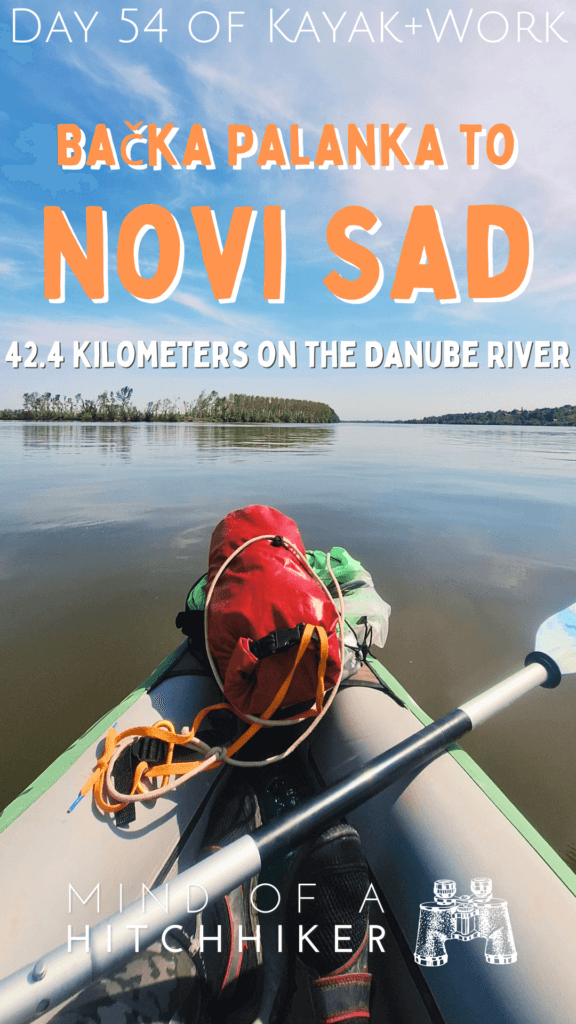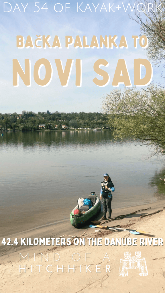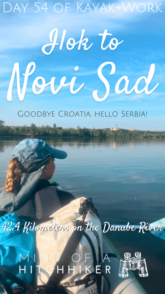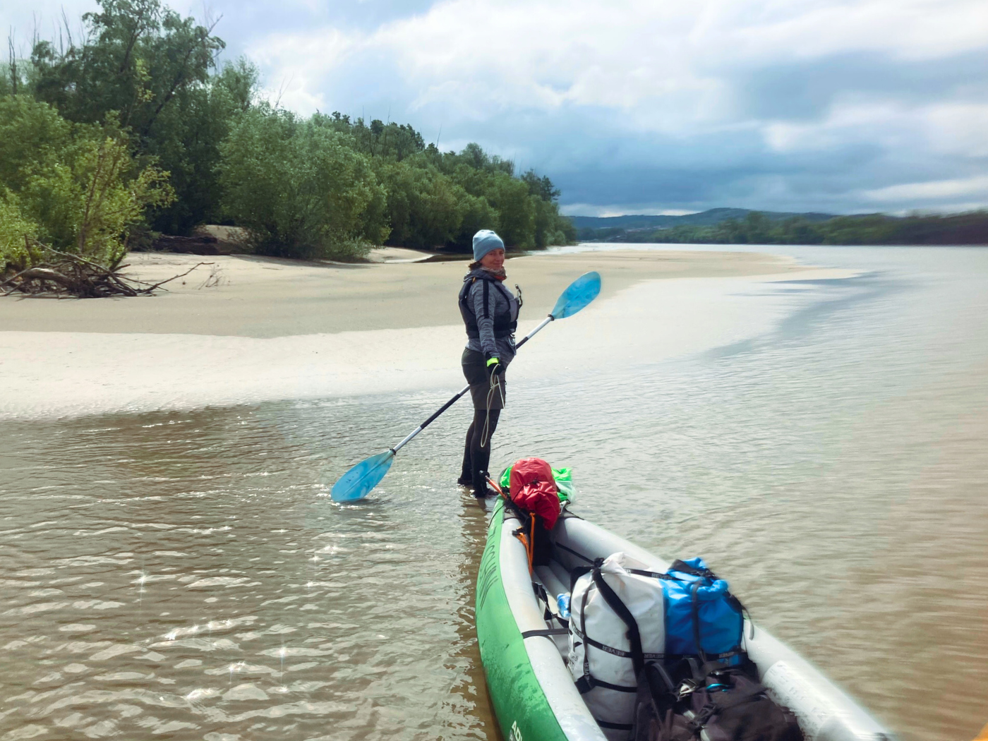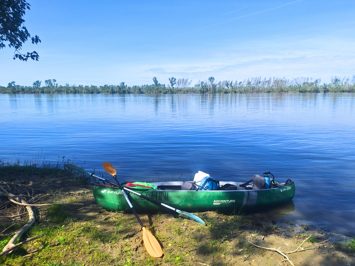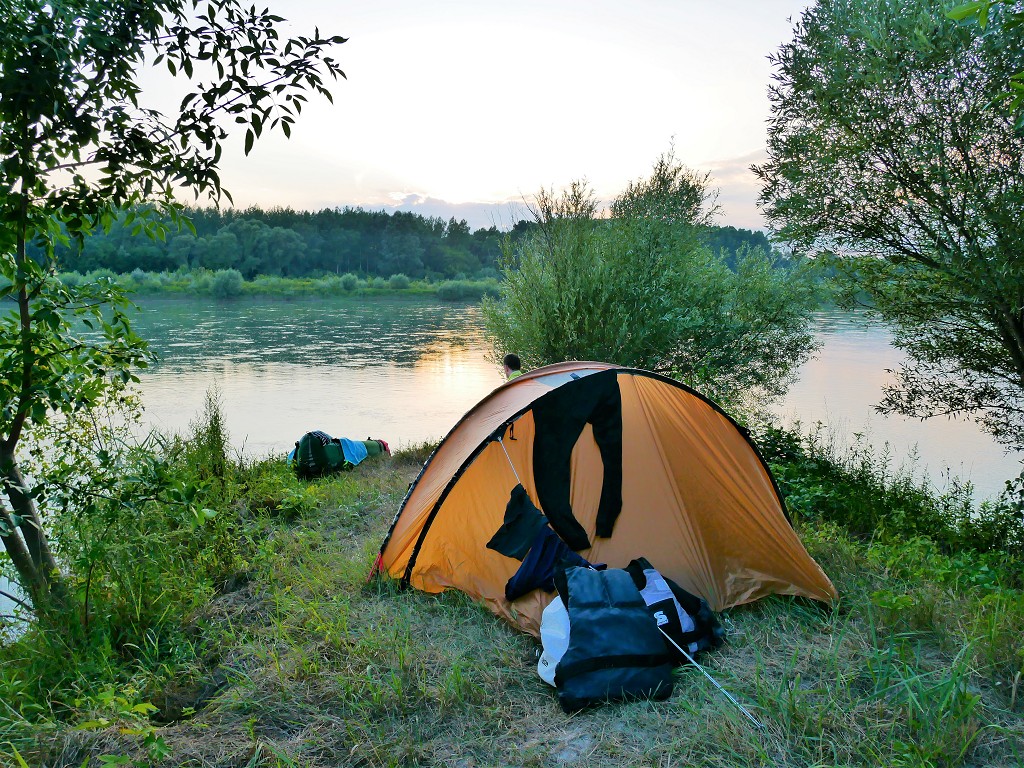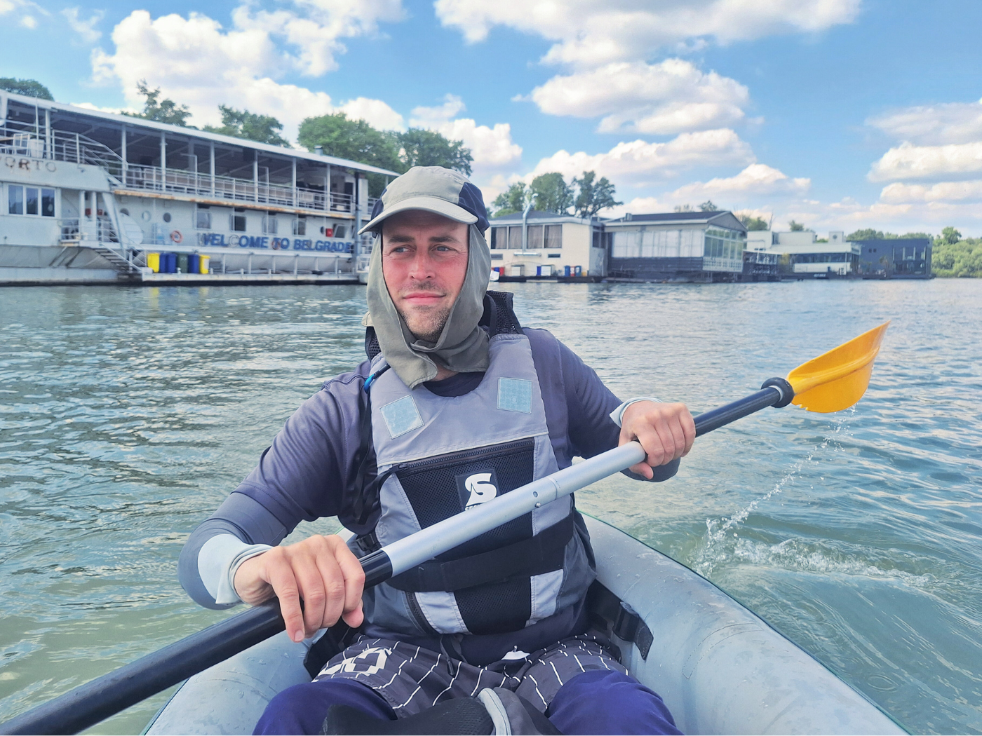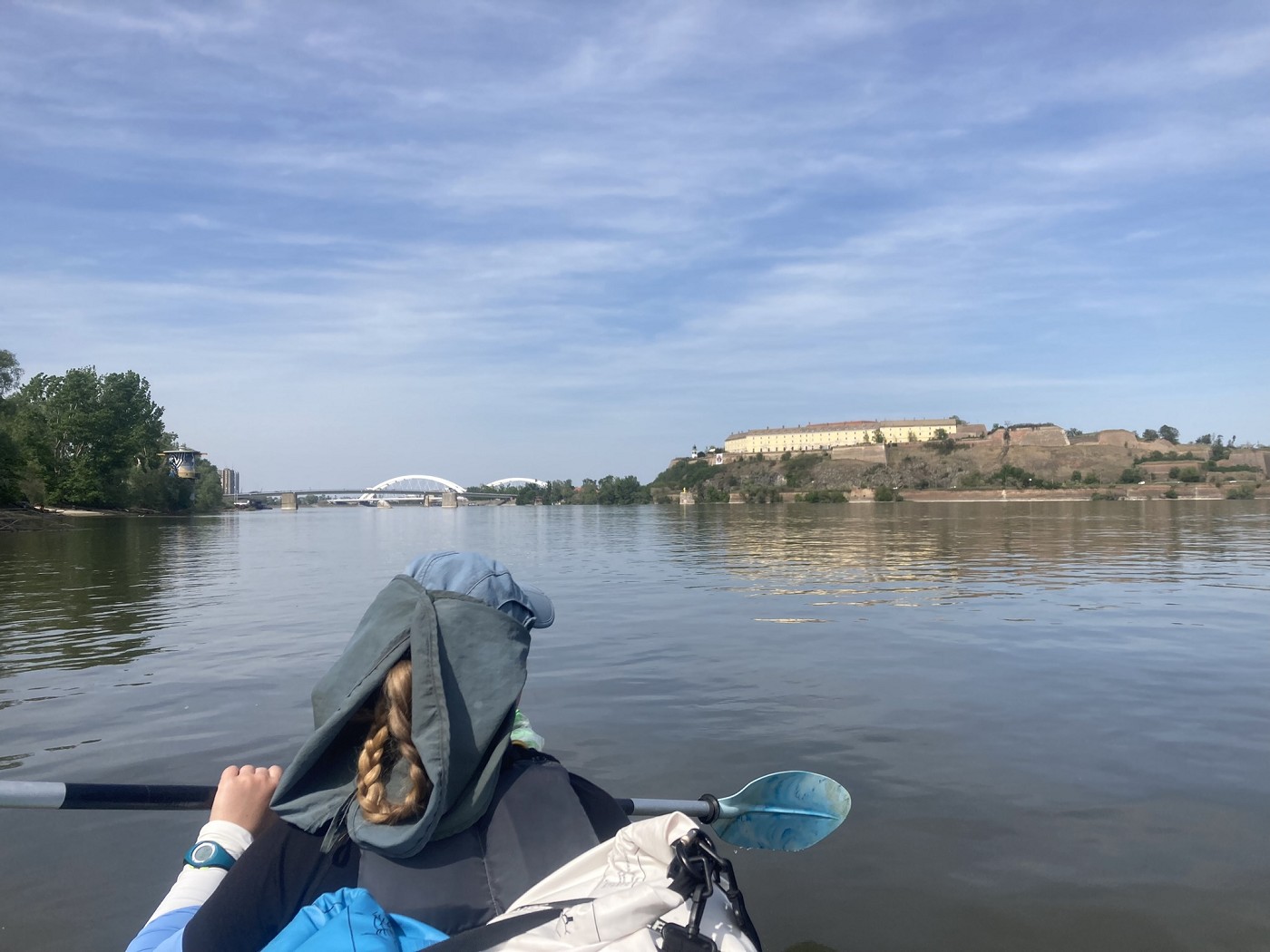
Our 54th paddle day was on Wednesday, the 10th of April, 2024. Our hosts in Ilok helped us cross the land border bridge between Ilok and Bačka Palanka to get the paperwork right. They dropped us off at a suitable launch spot on the Serbian side and we immediately began paddling to Novi Sad. This was our fifth day on the Danube in 2024 and our 54th day in total.
Want to travel the (entire) Danube River in an adventurous way? Join our Facebook group Danube River Source to Sea: Kayak / Canoe / Bike / Hike / Sail to find your community
Contents
- 1 Croatia to Serbia via the Ilok–Bačka Palanka Bridge
- 2 Kayaking Out of the Croatian–Serbian Border Zone
- 3 Making Distance
- 4 Two Ferries + Paddling Past Fruška Gora
- 5 Dredging Fuckery
- 6 Entering Novi Sad + New Kayak Packing Method
- 7 One Week in Novi Sad: Craft Beer + Fruška Gora
- 8 Good read? Consider buying me a craft beer!
- 9 Thanks for reading!
Croatia to Serbia via the Ilok–Bačka Palanka Bridge
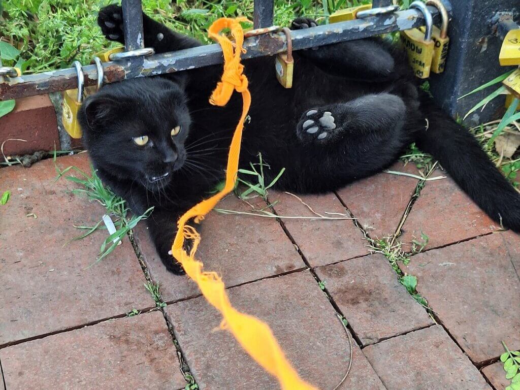
With the hole in the boat patched and everything packed, we left our last accommodation in Croatia a little before 7:00. Our hosts also went outside at the same time and we loaded all three bulky items and one small bag with the food and water into the trunk of the car. Their two-year-old tuxedo cat named Pero was around. I gave her some head scratches before we left. I’m going to miss that sweet girl.
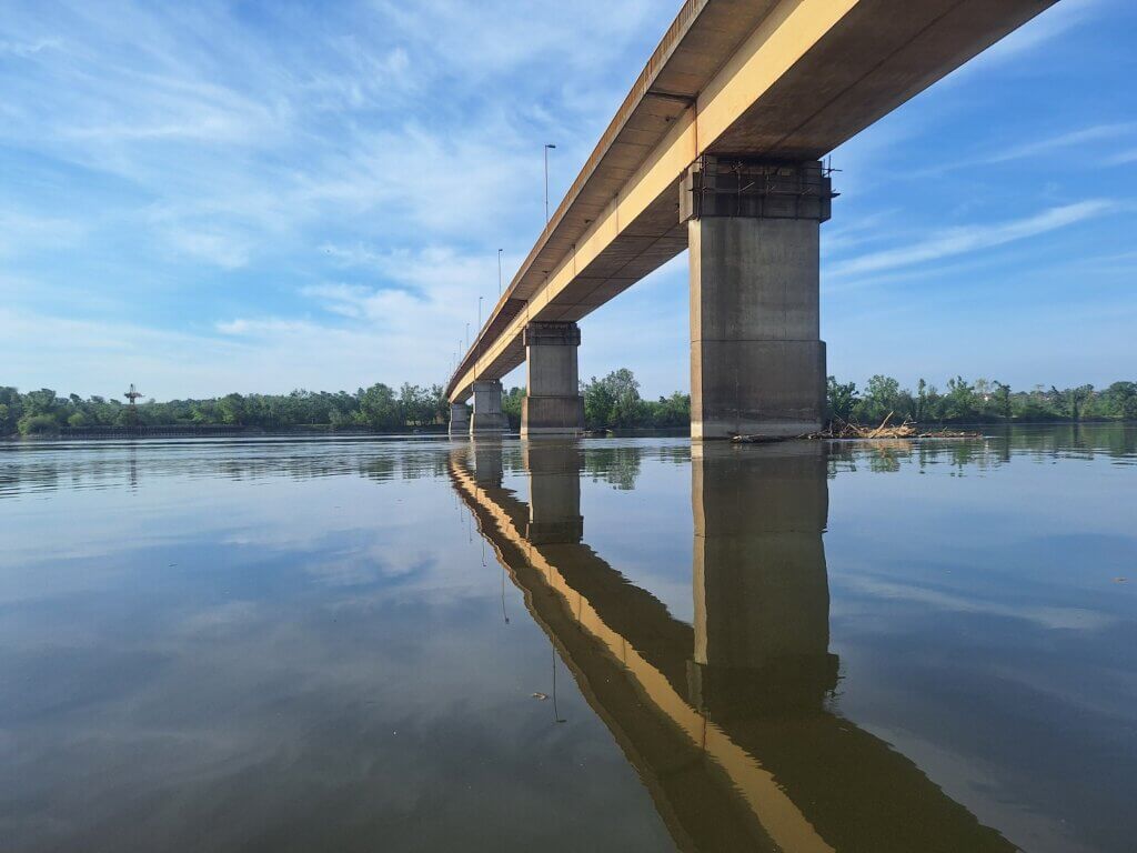
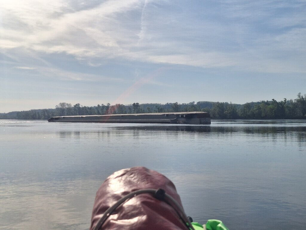
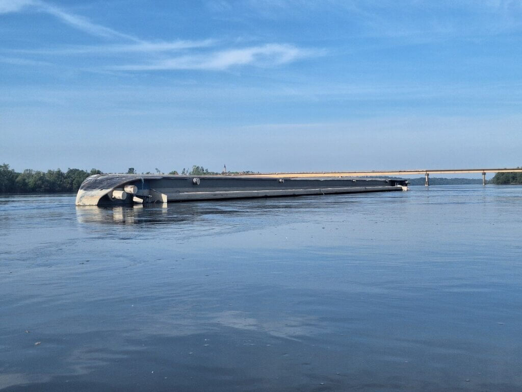
Our hosts drove us through Croatian customs and immigration over the bridge. They pointed at a half-sunken barge downstream of the bridge and said a ship had run against a pillar of the bridge just in January this year. Of course there was damage to the bridge, but nothing so serious that traffic couldn’t resume quickly. NATO apparently also targeted the bridge during its aerial bombing campaign back in 1999. It was damaged, but not destroyed, and reopened three years later. Some sources claim that there’s unexploded ordnance in the Danube here and at the bridge between Bogojevo and Erdut.
On the Serbian side of the bridge, we also passed through customs and immigration. The customs lady on the other side was very interested in our stuff in the back, mostly the duffel bag with the paddles. She opened it up a little – which is a bit annoying to us – but quickly gave up. I don’t know what our hosts and the customs lady were talking about to each other, but I was too distracted by the two young cats hanging out at the border. A small tuxedo and a grey tabby. They looked very sweet, but I couldn’t exactly roll down the window and go pspsps in this rather serious area. Luckily, we didn’t have to actually unpack any of our luggage we’d prepared for the river.
Once through with our fresh passport stamps, we drove a bit through sleepy Bačka Palanka. Sleepy because it was only 7:22. Our hosts told us that because Bačka Palanka is four times more populous than Ilok, there’s a lot of daily traffic between the two. Croatians go shopping in Bačka Palanka for the things they can’t get in Ilok, and Serbians go to Ilok for the cheaper fuel and meat. Croatians and other EU citizens can enter Serbia on just their ID cards, which is what our hosts did. We’re just here filling up our passports with all these Serbian border crossings.
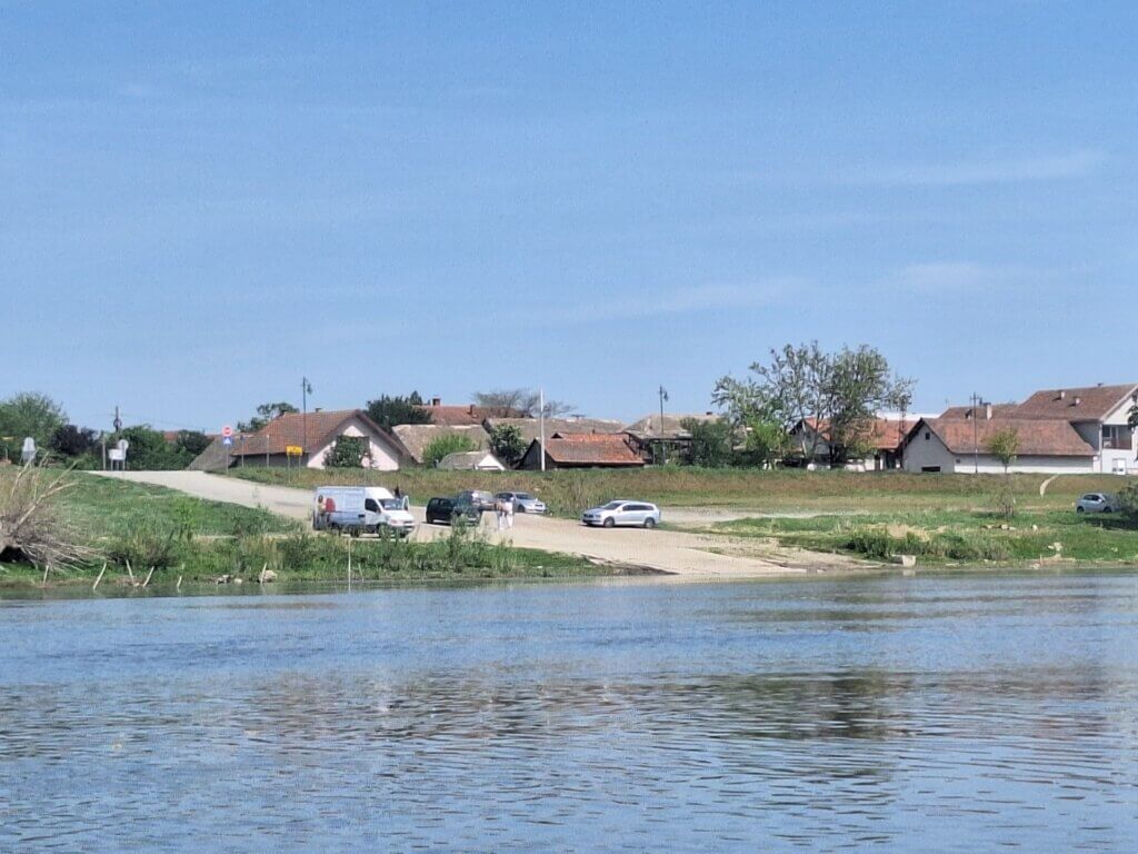
Past the calm nature of Tikvara Lake and its marina, they dropped us off at the city beach of Bačka Palanka. It was a very nice spot with multiple options to launch a kayak. We thanked them for the ride and the nice time in Ilok and said goodbye.
Kayaking Out of the Croatian–Serbian Border Zone
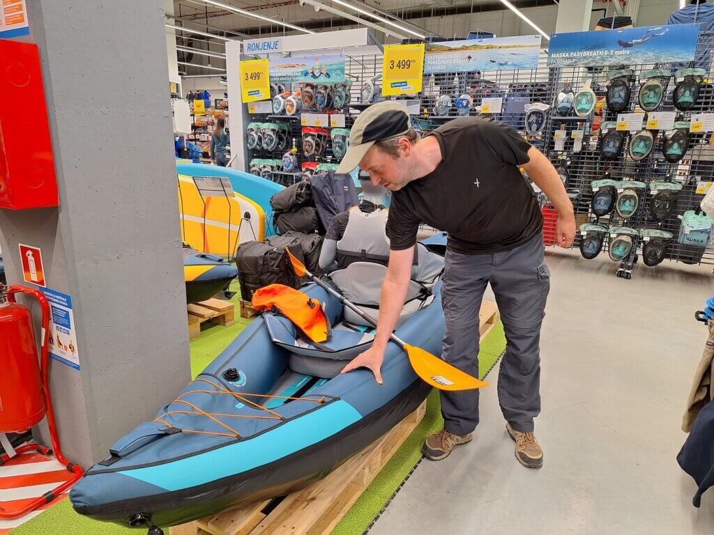
We chose the stairs into the water for our launch spot. With great care, we inflated Zucchini at the top of the stairs. Jonas spent some time trying to listen for leaks at the vents and elsewhere. Hopefully, we can buy new vents at Decathlon in Novi Sad. But for now, they were quiet.
Jonas applied some more sunscreen at his ankles. Today would be another sunny day on the Danube. And with over 40 kilometers to go, it’s also going to be our second-longest day in 2024. Bačka Palanka is on the left side of the Danube and so is Novi Sad, so even though the tree shadows will be on the right (south) side of the river in a few hours, there’s no incentive for us to cross. On top of that, the wind is coming from the north while we’re paddling east. So the trees on the left bank will give us some protection.
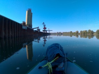
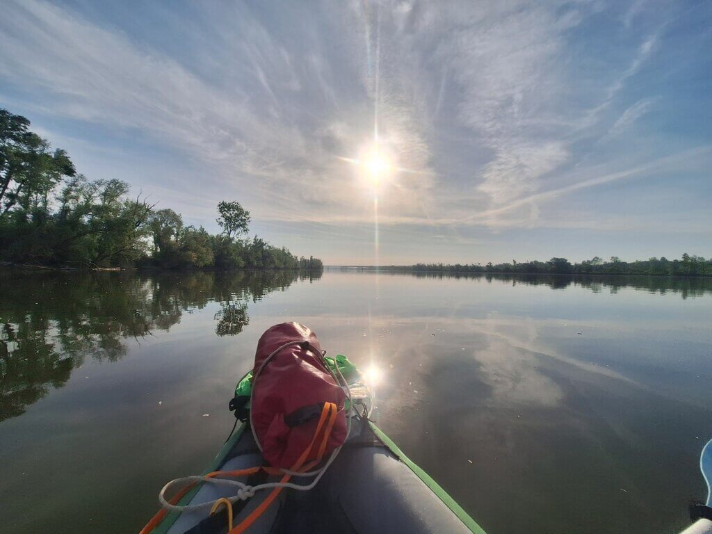
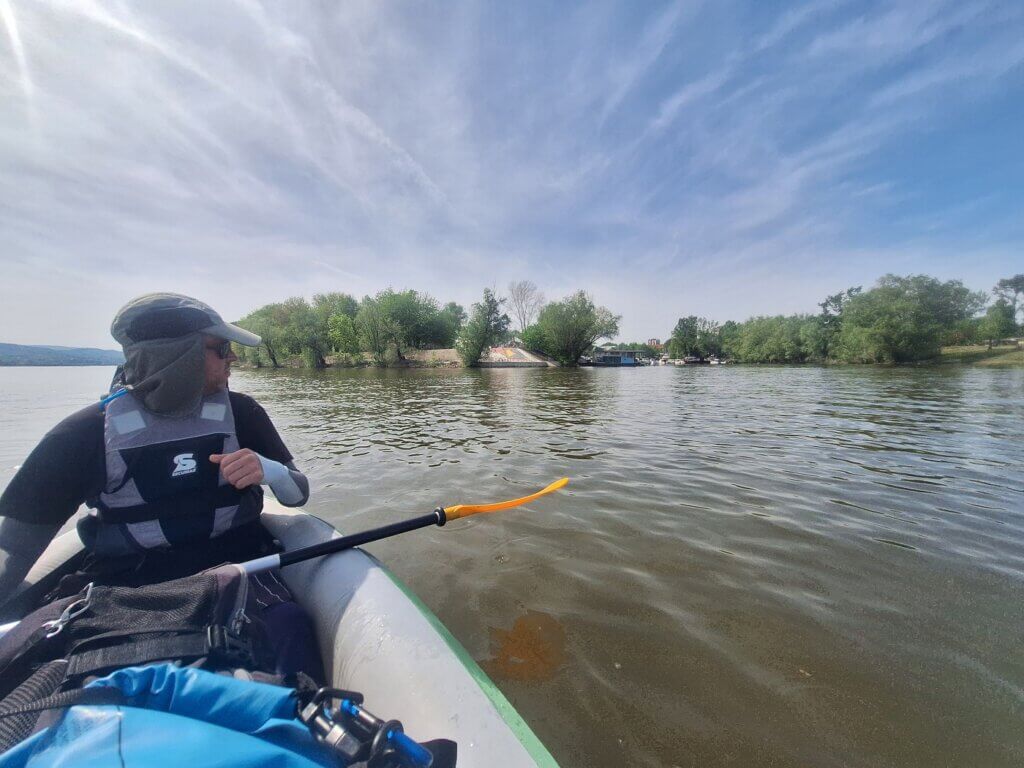
We were ready to paddle. The river waters were very calm and reflective. We started paddling at 8:05 and were headed to the border bridge we had just crossed downstream. Across the river and a little upstream was the beautiful fortified town of Ilok. We had had such a great time there. And despite the wine tasting the day before, I was feeling great and ready to paddle.
The fixed bottom pillow of Zucchini was nice and inflated. I was sitting high in the boat and had excellent reach with my paddles. Maybe we should also try to buy a new paddle for Jonas in Novi Sad. Something longer and with a bigger scoop. Somehow, we still haven’t solved this issue since 2019.
The shipping lane went under the bridge much more to the right, so we weren’t in trouble if there was a ship in the area. We passed under the bridge and looked back at Ilok. Up ahead was the half-sunken barge of fertilizer. We paddled closer towards it to see what was up. Upon closer inspection, it was capsized on its starboard side. When the Danube water levels get low this summer, much of it will probably be exposed.
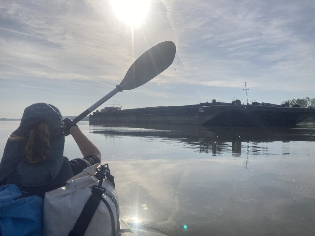
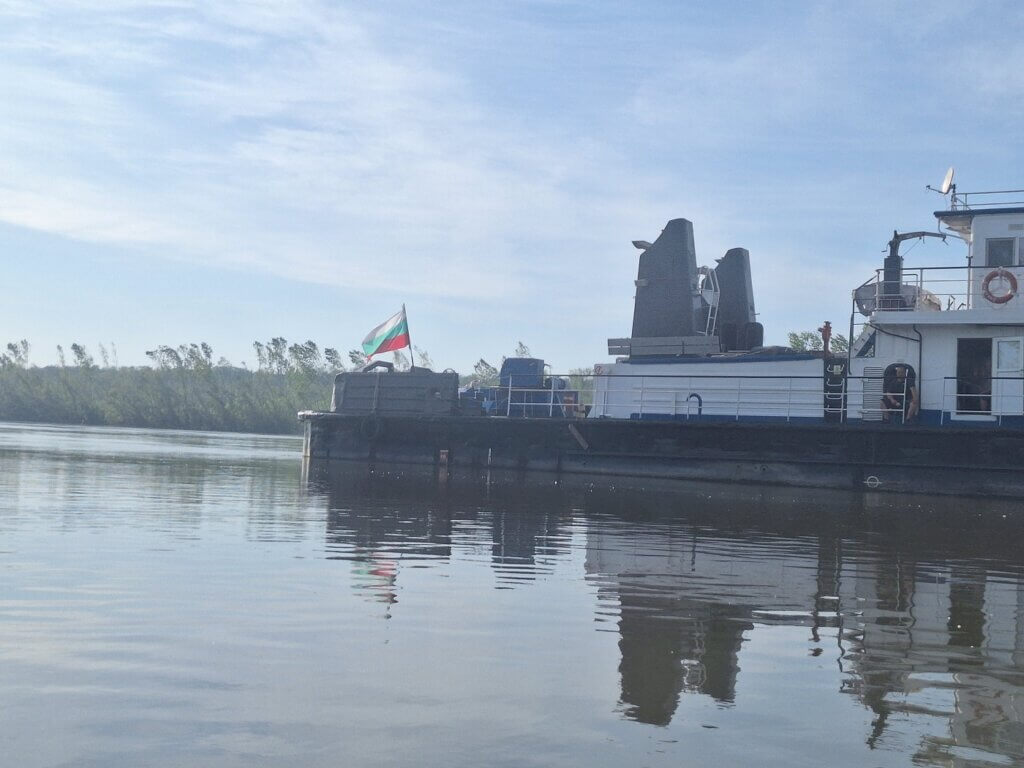
After the bit of urban exploring on water, we paddled back to the left side. There was a ship anchored on the Serbian side. When we paddled past it, we saw several guys bathing in the sun. A Bulgarian flag flew at the back. It was probably doing paperwork at the port facilities in Bager (coordinates: 45.23848593724556, 19.422299633365366). That’s a little backwater and port facility that we might have used if we were (re-)entering Serbia by boat instead of by land. Going via the bridge was definitely the easier option.
At the banks of this little backwater, there was a bevy of swans gathered. I’ve never seen so many in such a small area. It’s a good thing we don’t have to go through customs and immigration here because it’s the middle of their mating season. And we all know they can be aggressive like a taxi driver.
As we paddled more downstream, we finally crossed the area where the right bank stops being Croatia and also becomes Serbia. There’s a Serbian flag sign on the right bank, which is very hard to see from where we are. It’s like the Croatian flag sign we paddled past when we kayaked from Mohács to Apatin. There’s a big quay there for ships to moor at. Jonas says that it’s also possible there to check out of Croatia—but only if you are a big ship.
Croatia is already the second country we leave in the past on the Danube this year, after Hungary. We were both happy to be out of the border region. And our phones are happy to not have to switch between the Croatian and Serbian networks anymore, so we can just use one SIM card.
Making Distance
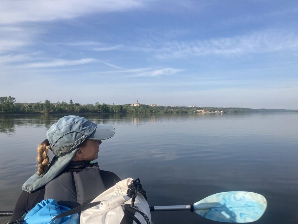
It’s 8:35 when we leave the border area. I put on my sunglasses to fight the strong glare of the water with the sun in the east. Jonas does the same and he finds it also relaxing for the eye muscles.
The current is not bad at all and the wind is not that strong yet. I want to make it past the town of Čelarevo before we have a break somewhere. Čelarevo is the northernmost point of our route today, so after that we will have some tailwind. The town is also the location of Serbia’s 2nd most popular beer after Jelen from Apatin; Lav Pivo. It seems like all the popular beers of Serbia come from the Vojvodina region.
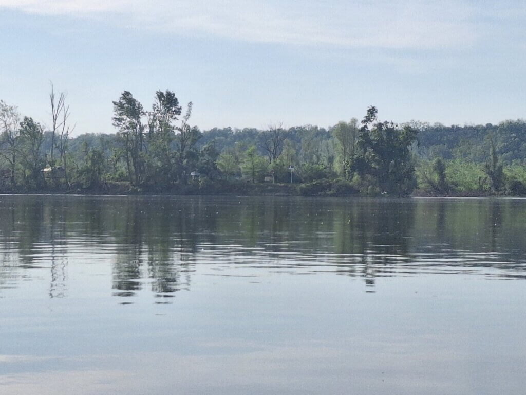
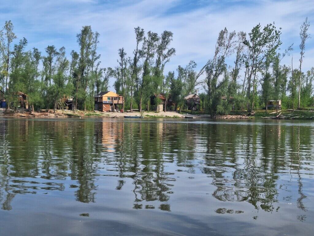
To the right of the river, Danube water was sucked away at the Neštin river island. Looking in that direction, it really appeared that it was going downhill. There are these sort of optical illusions on the rivers we paddle at times. Though most of the time things look flat. There was a lack of current where this water was siphoned off, but once parallel to the island, the current returned. Here we paddled southeast with a gentle breeze in the back past so many holiday homes. Time for a protein bar.
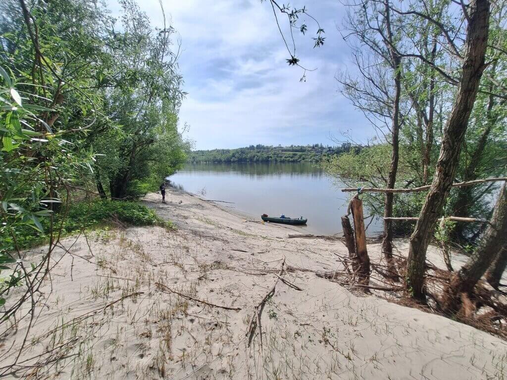
Once we passed that area, we were looking for a spot to have a break. Facing southward, we saw the western tail of the Fruška Gora mountain range. Satellite view showed a sandy beach on the island called Šašićeva ada (Шашићева ада). We had a 14-minute break there till 10:50. It’s across from a village called Koruška. There was evidence on the island of human visits, so I think the locals often take their boats to Šašić island to relax.
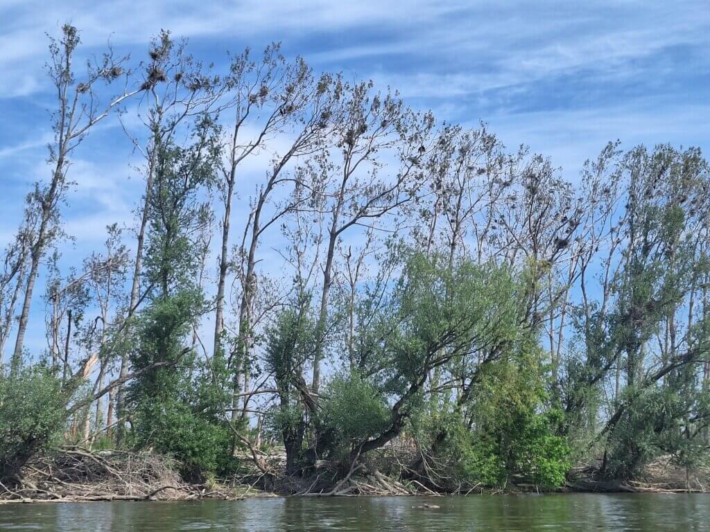
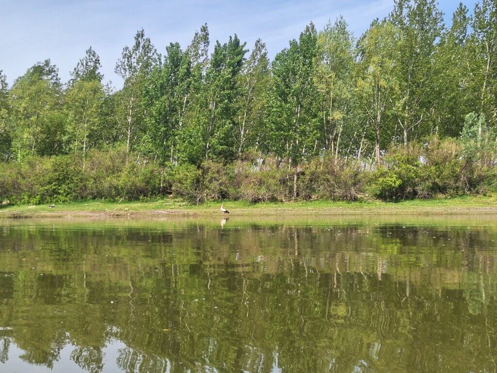
Continuing onward, the tail of the island had a lot of Great Cormorants building their nests high up in the trees.
Two Ferries + Paddling Past Fruška Gora
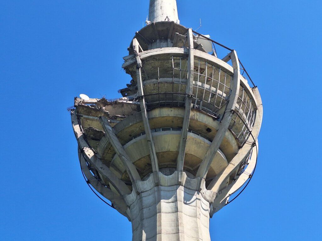
It was 11:05 and we’d been kayaking for three hours already. But we also made quite some distance towards Novi Sad. I watched the peaks of the Fruška Gora mountain range to my right and tried to identify the highest peak. None of them were convincing me for long as rounded peak after rounded peak shuffled by. One of them had a tower on it. A TV tower, judging by the bulges.
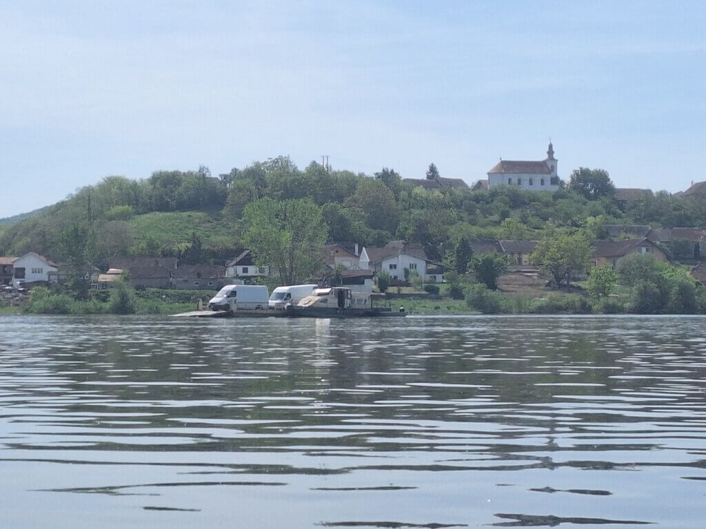
Next up was crossing the path of the ferry of Banoštor. It crosses the Danube in a diagonal fashion, so we were scanning the river to find it. It was on the right-hand side in the town of Banoštor and loaded its last of three vehicles on it. Then it began to cross. First slowly, then very fast.
Jonas paddled us more to the center of the river and turned our nose to the ferry to show we intend to go behind them. Then we floated a little till the ferry was definitely headed for a course and speed to go in front of us. We passed each other at a reasonable distance.
Next, we paddled past a large river island called Čerevićka Ada. Even if it was shorter, it would have been a bad idea since there’s a sill connecting it to the mainland on satellite view. By now, it was almost noon. And we were on the approach to the town of Futog.
Close to Futog, we paddled past an open restaurant that actually had a beautiful kayak landing spot and advertised German beer. One day… one day we shall have lunch some where en route while kayaking. With a beer. The restaurant is called Bali.
To the right, there were more Danube channels passing around river islands and with hidden sills in the water. One of those is a big water inlet to an industrial zone that produces cement. The next ferry between Futog and Beočin would cross the Danube after that area. We looked on both shores for the ferry, but there was none. However, people were clearly waiting for the next ferry on the left shore. Perhaps I saw something that could be the ferry almost a kilometer away on the right bank
Though only one of them was clearly real, it was nice that these ferries broke up the day a little. It makes the days distinguishable from each other and makes us feel we’re making progress.
Dredging Fuckery
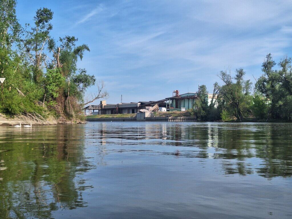
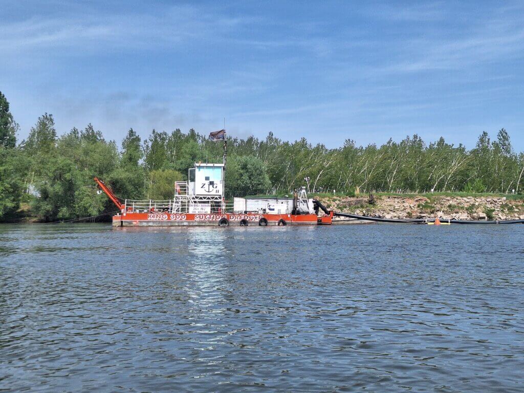
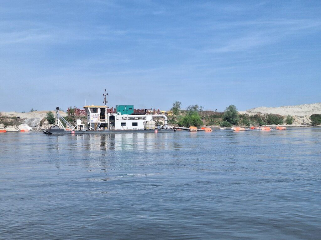
On the final run to Novi Sad, we did encounter some last-minute fuckery: dredging ships on the left side of the river sucking up sediments. A floating pipe transports the wet sand to the land where it spits it out. An excavator puts it in nice little heaps to dry.
I’d seen the previous day on satellite view that there was such a thing in this area. Actually, it looked like the dredging ship was in motion during the satellite photography as there’s some ghosting on the image.

We knew to stay away from this and go closer to the shipping lane. But just in case, there were buoys in the water to warn any ships on approach. A swan couple swam into the area. Shaking my head. But they’re better swimmers and also have the plan B of just flying over the tube to where they need to be going. Meanwhile, the TV tower on Fruška Gora had become much clearer.
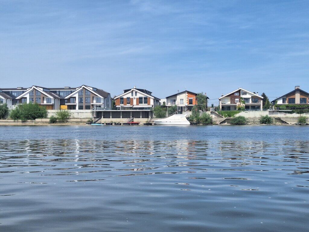
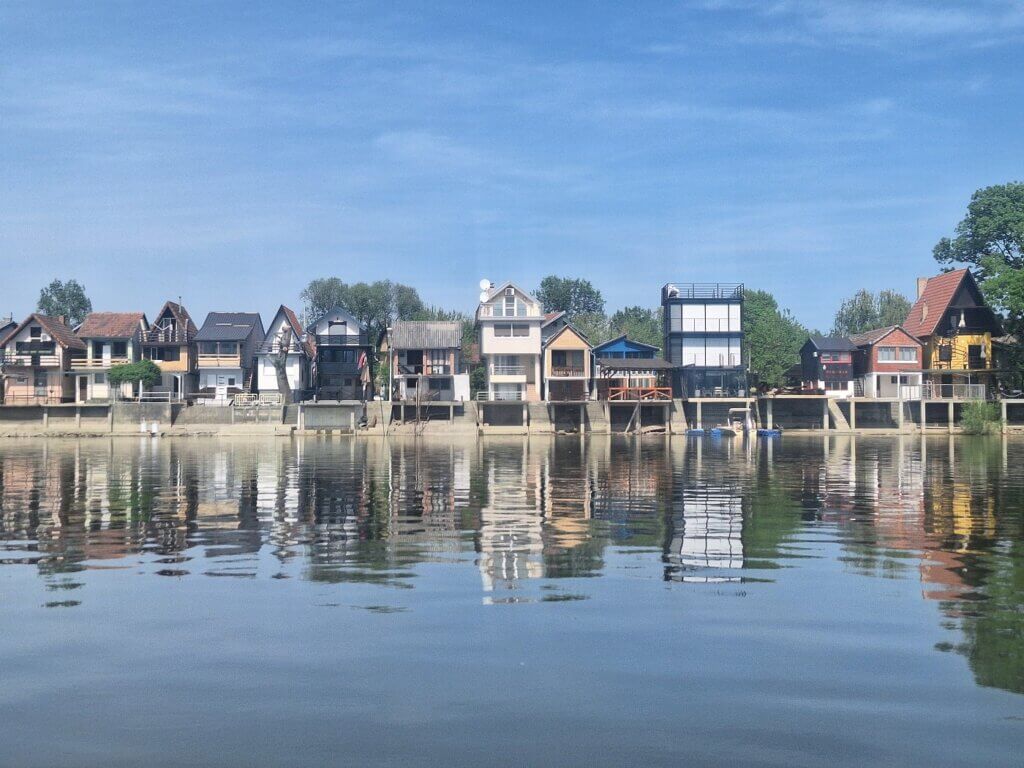
The industrial nonsense didn’t end there. We passed another sediment ship and an entire port facility to load the dried sand onto barges for transportation to places that lack sand. Right after that, there was a strange suburb of Novi Sad. New housing just half an hour out of town. River view, but also industry noise. After that, the houses became more like holiday homes due to the hilarious shapes and tragic mix of architectural styles. Some of the houses got wider as their floor numbers went up.
Apparently, these ‘weekend settlements’ go by the name Kamenjar I and II. The law prohibits their (ground!) floor size to exceed 25 square meters. Even Wikipedia calls out the wild era of (lack of) urban planning and illegal construction in this area of the Danube.
Now it was after 13:30 and we were approaching the power lines that cross the Danube in this area. There was a nude beach on the left with about five old men chilling and enjoying the sun and the water nakedly. I think we kept a respectful distance as very-clothed people.
Once past the power lines, we looked for one more place on the left bank to land for a little stop. After much deliberation, we found one. Unfortunately, the landing was muddy and also an ant’s nest. The colony raided Zucchini. We never had such a short stop on land. Four minutes, in and out. Back on the water, we wiped a few that were crawling on the edge into the water. I cannot deal with ants as we’re approaching our first major city on the Danube.
Entering Novi Sad + New Kayak Packing Method
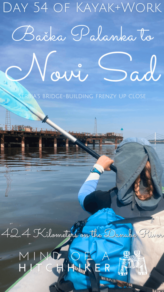
After our stop, we had to deal with something very unexpected. On both sides of the Danube, there was a very long construction going about 200 meters into the water on each side. As I could see blue sky on the other side, I knew it was high enough for us to paddle under it, but Jonas wanted to be cautious and go into the shipping lane. Temporary buoys guided all ships into the middle.
I switched from my nautical OSM map to my default OSM map to confirm my suspicions. A new bridge across the Danube is being built here. Unfortunately, I couldn’t find more information than the fact that it’s under construction since 2022 and that it will be a cable-stayed bridge. What I could see from the river was just the foundation being built for the span that should be high enough for ships to pass under, even during flood. It looks like they had to make that bit dry to build a pillar. Trust me, I watched lots of engineering programs on Discovery Channel.
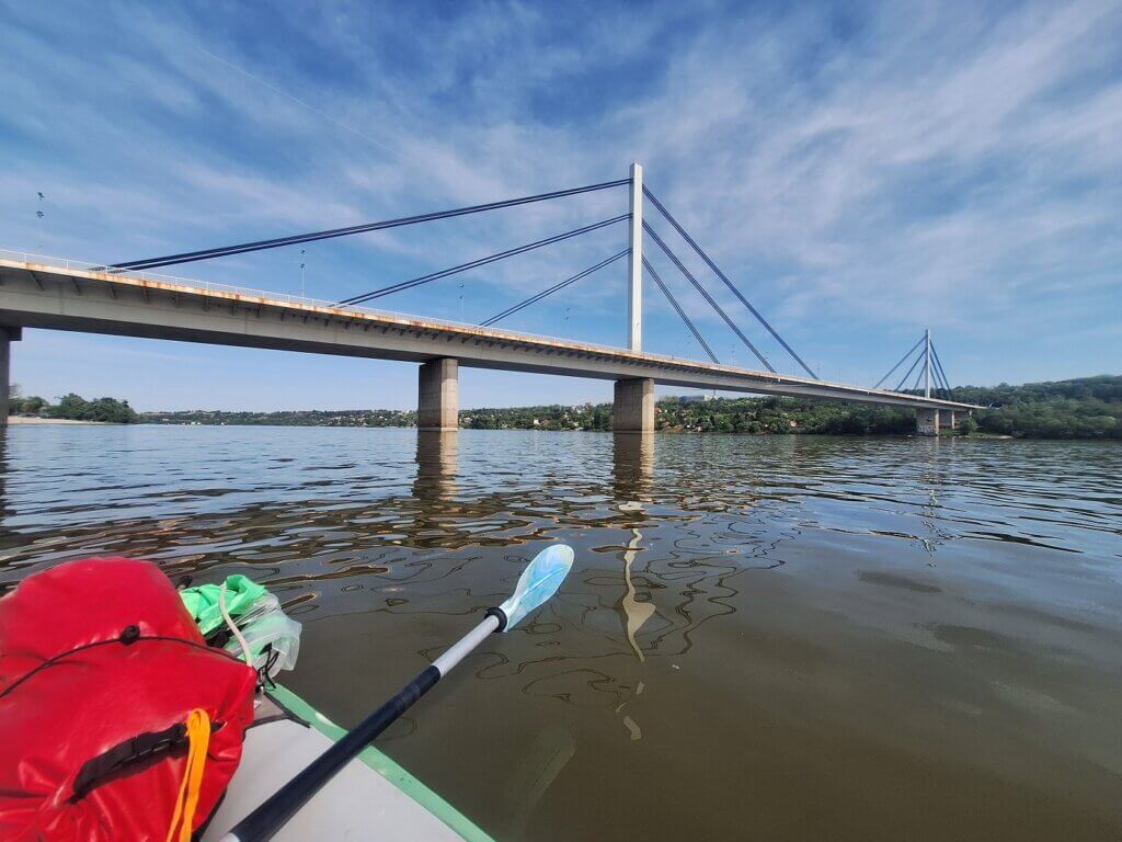
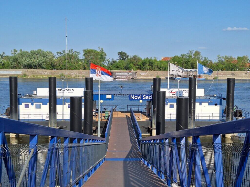
Right after that, we could see Liberty Bridge in its full glory. To our left were beaches and restaurants at or on the water with lots of people. I’m so looking forward to exploring this city.
A cruise ship came up from behind and overtook us. The waves weren’t all that bad. But next up, we had to deal with a rather large private motor vessel coming our way. I freed my whistle just in case I needed to warn him with sound of our presence. But the guy slowed down his speed and kept his distance from us. He waved to us and was very smiley.
Before ducking under Liberty Bridge, we passed the Štrand area of Novi Sad. This area with the Dunavac backwater is also where the TID lands in Novi Sad. It’s the city beach and has many sun worshippers out and about. A guy on a SUP paddled very close by to us. He looked very chill and happy with these April summer days. Luckily, no one was swimming in the water. We passed the left-most pillar on the right to not be too close to the people. The bridge looked a little rusty from up close.
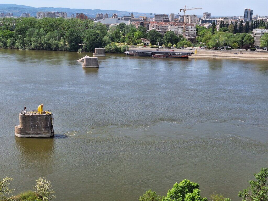
Speaking of bridges, NATO downed all three of them in Novi Sad in 1999 during the Kosovo War. All three have since been rebuilt. The next bridge – Varadin Bridge – is already after today’s exit point in Novi Sad. Also after today’s exit are the bridgeless-pillars of the Former Franz Jozeph Bridge, which was destroyed twice in WWII; once by retreating Yugoslav forces to slow down the German advance, rebuilt by said German forces, and finally destroyed by those same German forces when they retreated in 1944. There are plans to build a pedestrian and bike bridge atop its sturdy pillars, starting in 2024. One can hope pedestrians get as much love from the Novi Sad government as cagers do.
We thought we were done taking detours today, but we had to once again paddle closer to the middle of the river to pass some jetties. Here the Novi Sad rowing club has its headquarters. Danubius 1885 has a glorious landing spot we can’t use as we’re just pesky kayakers who refuse to not face the direction we’re going to.
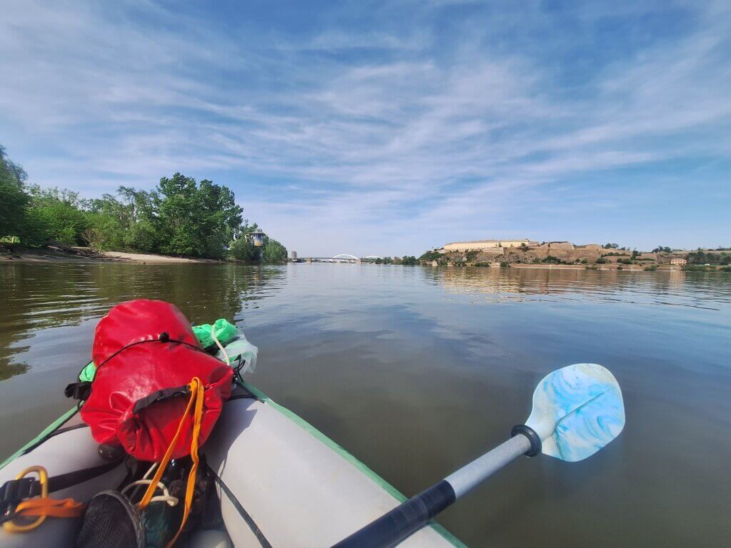
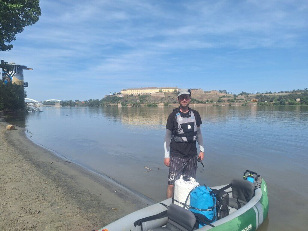
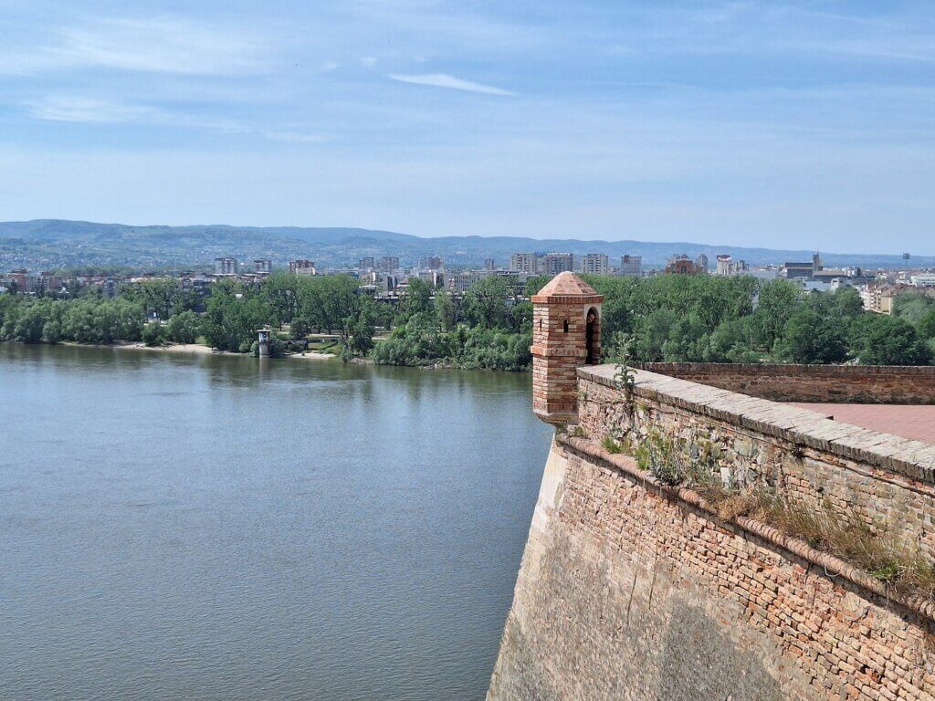
After that little detour, we returned to the left, where there were these heavily graffitied water towers every 200 meters as we approached closer to Petrovaradin Fortress. Our landing spot was at the last of them. There were lots of people with dogs out, who of course all barked like crazy as we landed. 14:45 and done. Much better than anticipated!
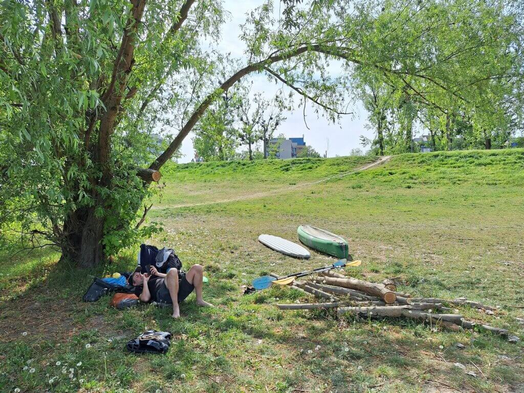
We concluded our usual drying and packing of the boat near the beach. This is what took the longest. The patch of the hole held up so well today we’d almost forgotten about that incident. When packing up, Jonas snapped a picture of our new method; we used to keep the bottom compartment inside the boat when folding up Zucchini, but these days we take it out and pack it together from the outside. It used to be the case that there’d sometimes be too much air trapped in Zucchini, but this new inflatable kayak packing method has a 100% success rate of squishing it back in the CabinMAX at the first try.
Once we were packed up and changed into land clothes, we walked with our three bulky items to the road. Jonas called a taxi with a local Novi Sad taxi app that had looked promising in the app store…

