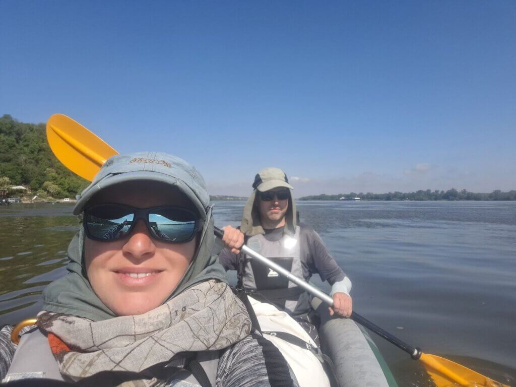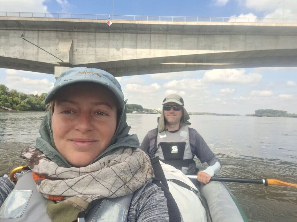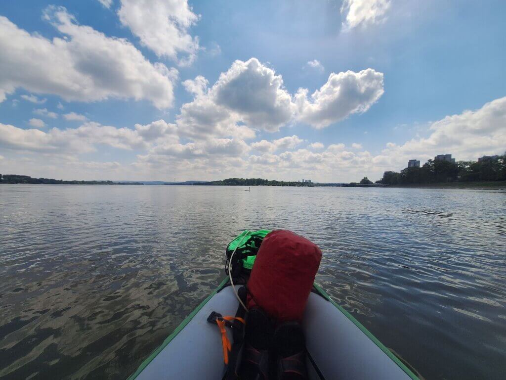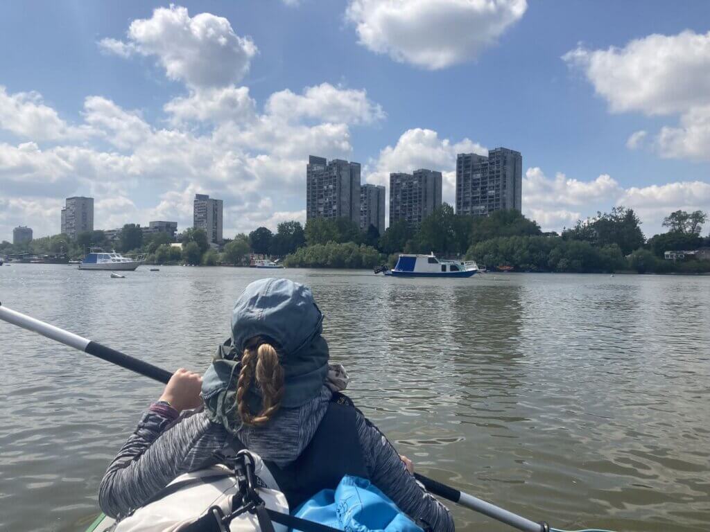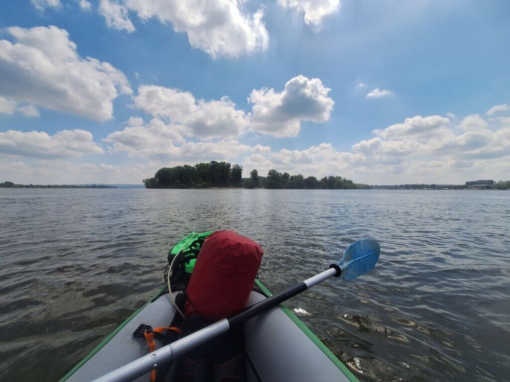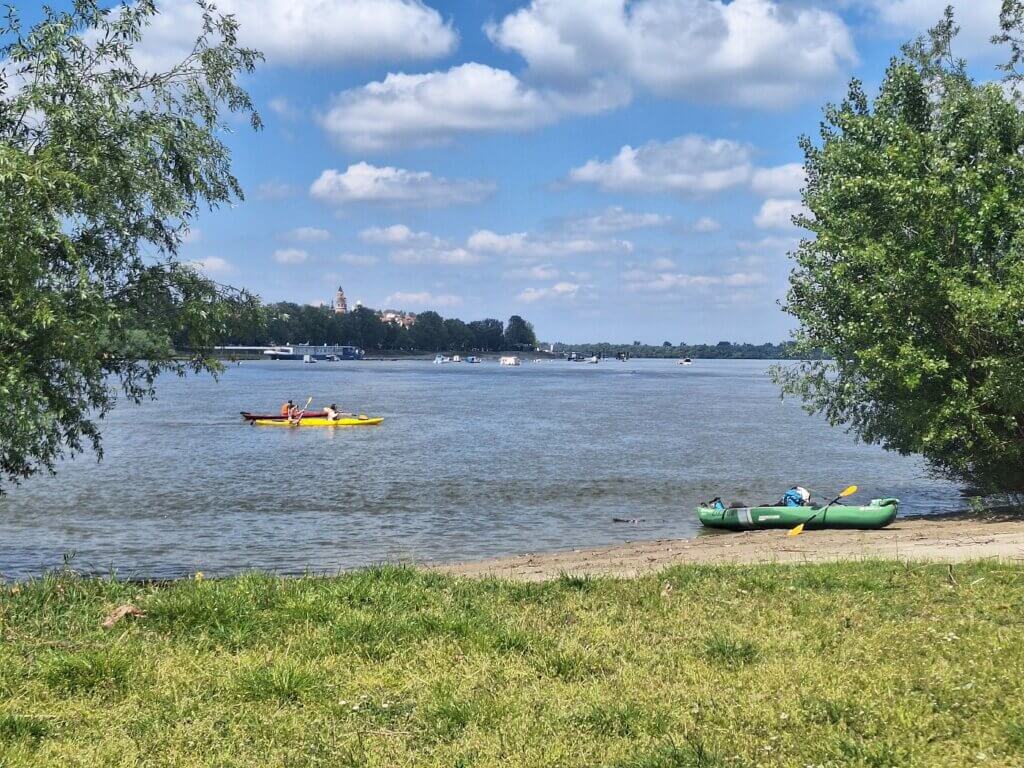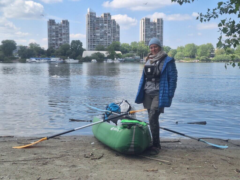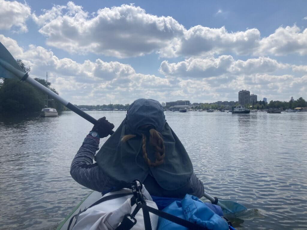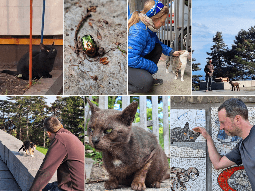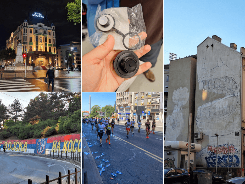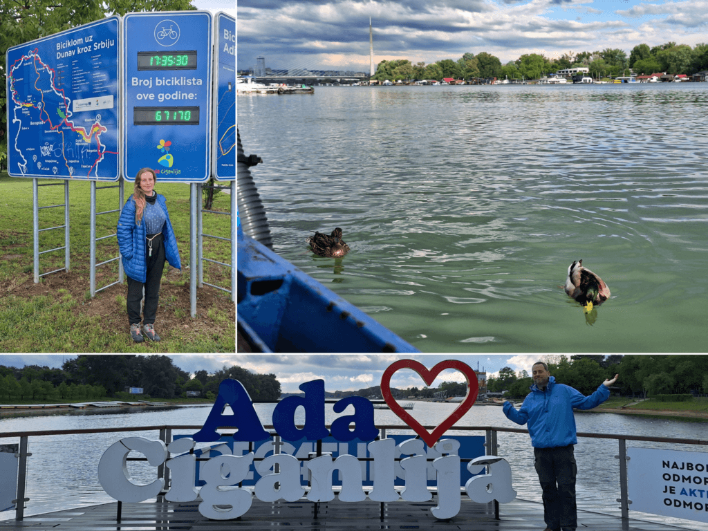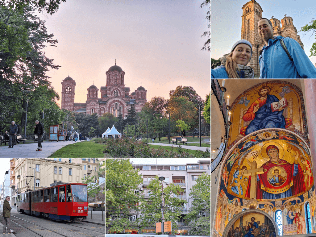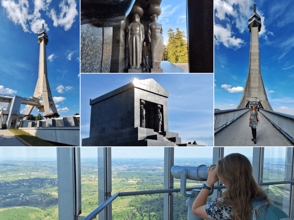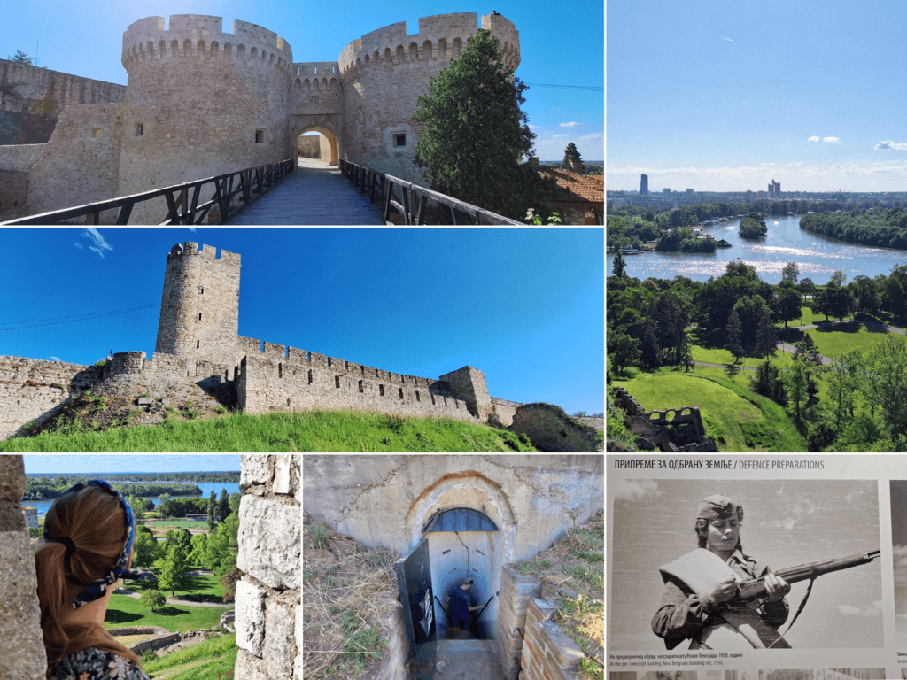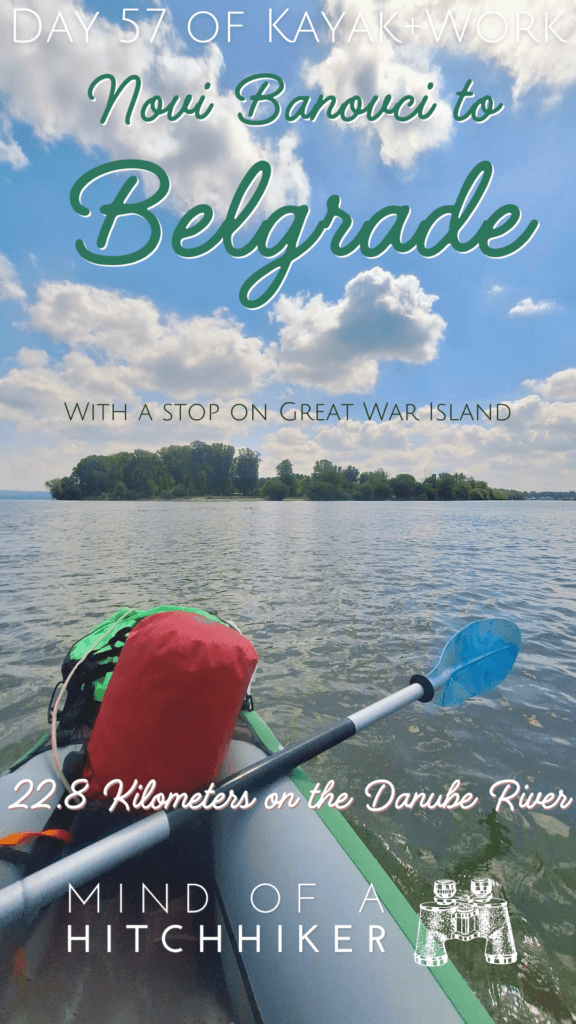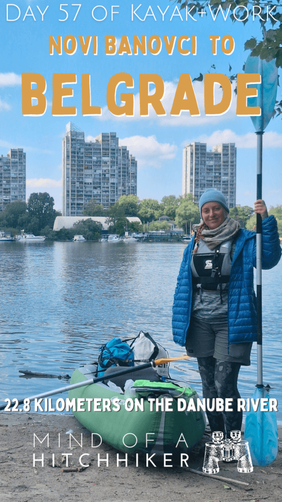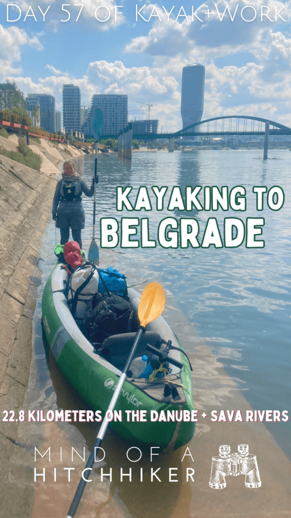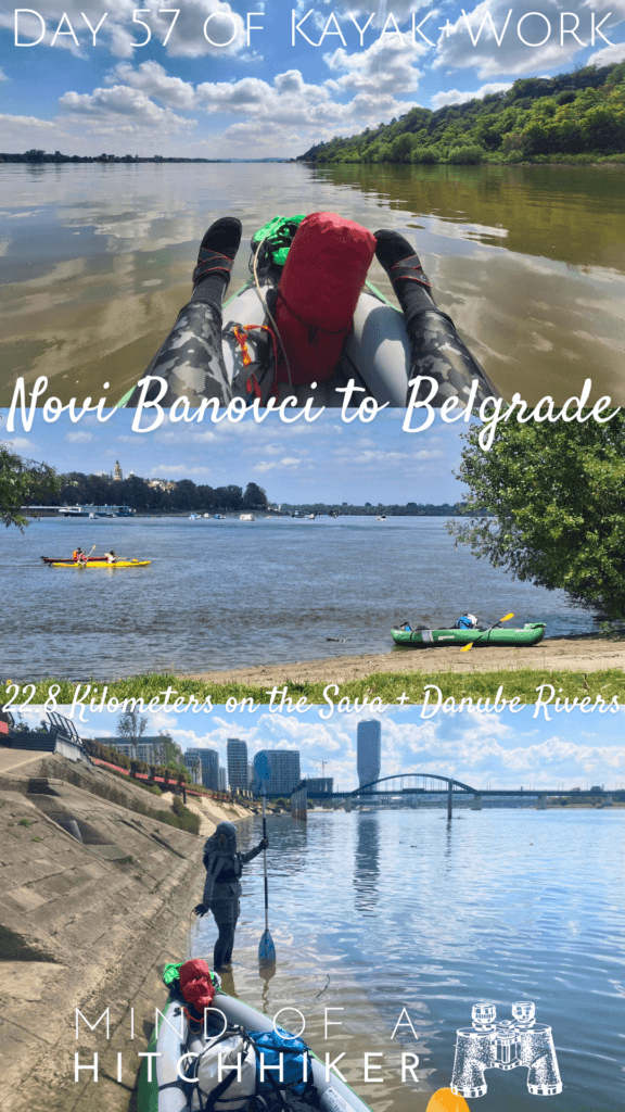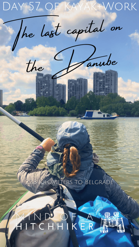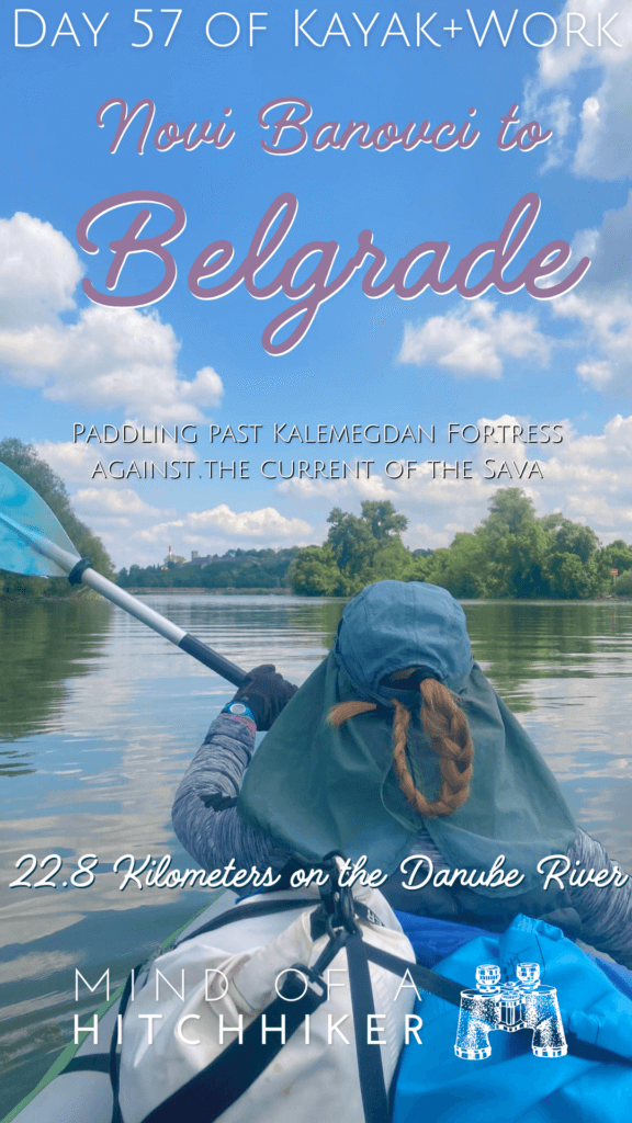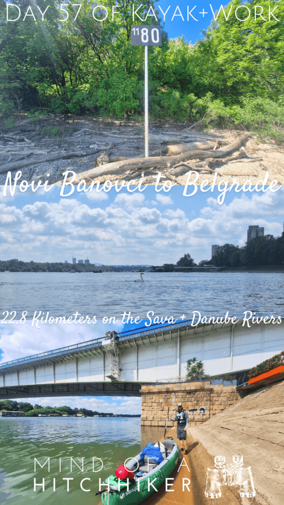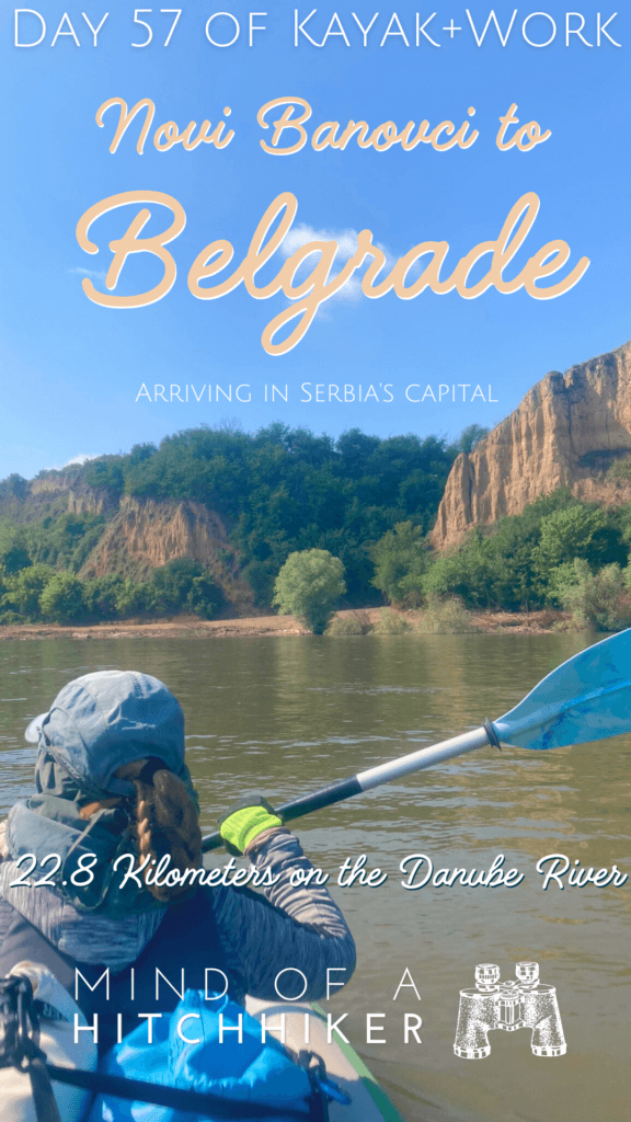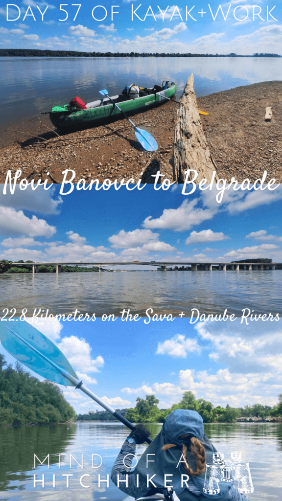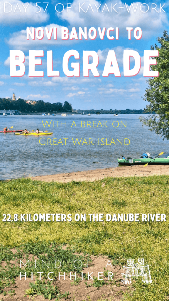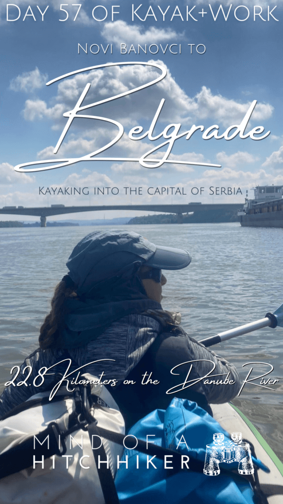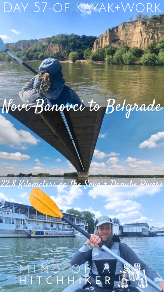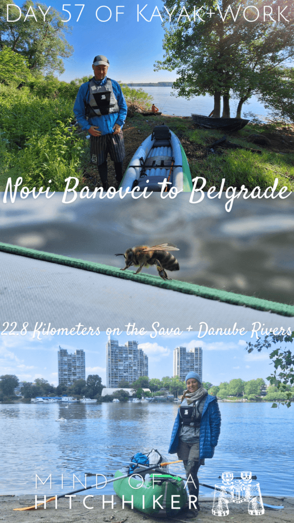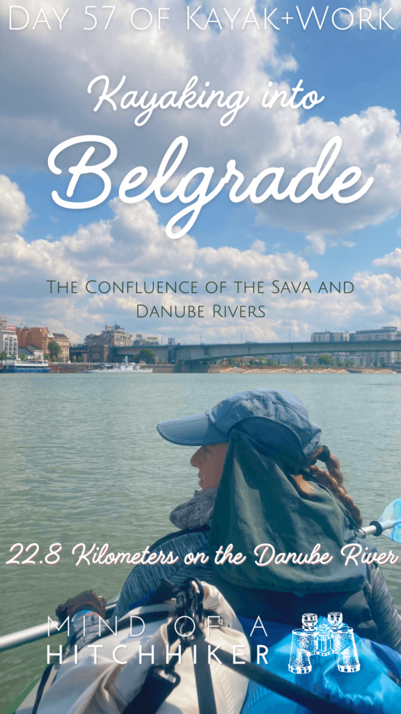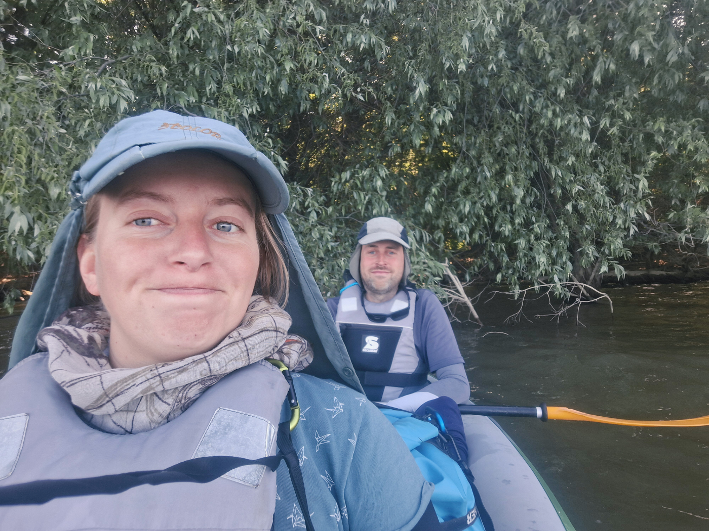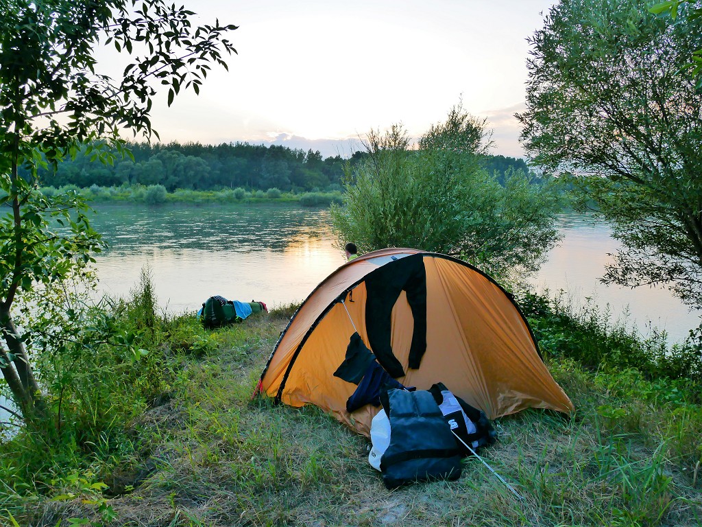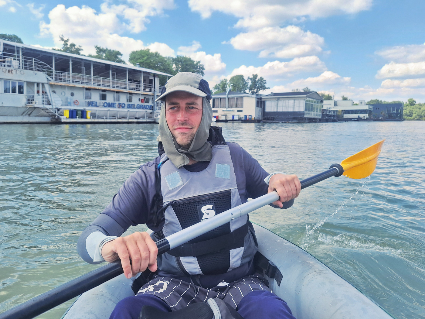
Our 57th kayak day on the Danube was on Monday, the 22nd of April, 2024. We paddled from Novi Banovci to Belgrade in Serbia. Belgrade is the last capital city on the Danube River. I used to live in Belgrade back in 2015, which was part of my original inspiration for kayaking the Danube. Going to Veliko Ratno Ostrvo (Great War Island) was a major goal.
Want to travel the (entire) Danube River in an adventurous way? Join our Facebook group Danube River Source to Sea: Kayak / Canoe / Bike / Hike / Sail to find your community
Contents
Leaving Novi Banovci
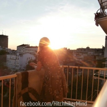
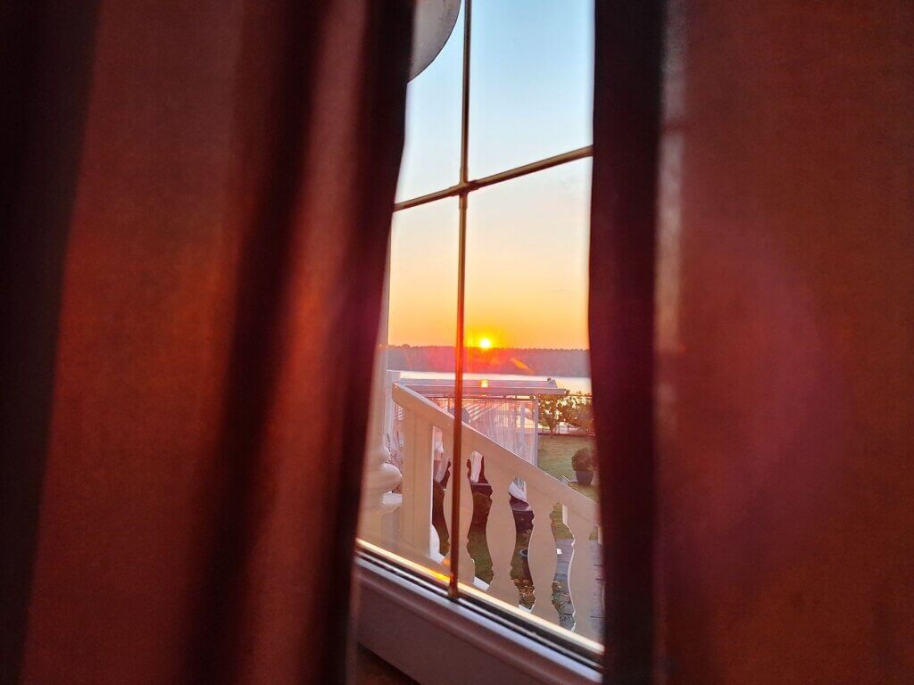
I woke up with a bright sunrise orange on my face. The curtains were slightly open right at the spot the sun poured through this early in the morning at 5:39. It was beautiful, so I got up, took some photos, and went back to bed after drawing the curtains closer. I made sure none of the light heated up Jonas’ sleepy head.
At 7:00, the alarm rang. We got up, got dressed in our kayak clothes from the day before, and had our coffee on the terrace with the now-softened morning sun. It’s going to be a beautiful day to paddle to Belgrade. Better use sunscreen.
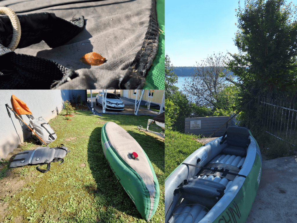
Despite everything being much more ready to go – we left Zucchini semi-inflated overnight – it took us a long time to get going. Maybe it’s the break from our usual paddle day routine. I pumped up Zucchini to the right pressure and relocated a slug that had napped on the boat. The kayak seats were still inflated, so we just installed them in the boat. I had the full CabinMAX on my back, Jonas the dry bags. That left the duffel bag with lightweight items such as the life vests, the paddles, and the pump. This went inside the boat.
We carried everything to the stairs, where Jonas first went down to drop off the dry bags. He came back with the news that there was a fisherman at our launch spot. What can we do? We carried Zucchini down the stairs and I said hello to the guy. Another fisherman also came down the stairs. The first guy saw what was about to happen and said no problem, just launch.
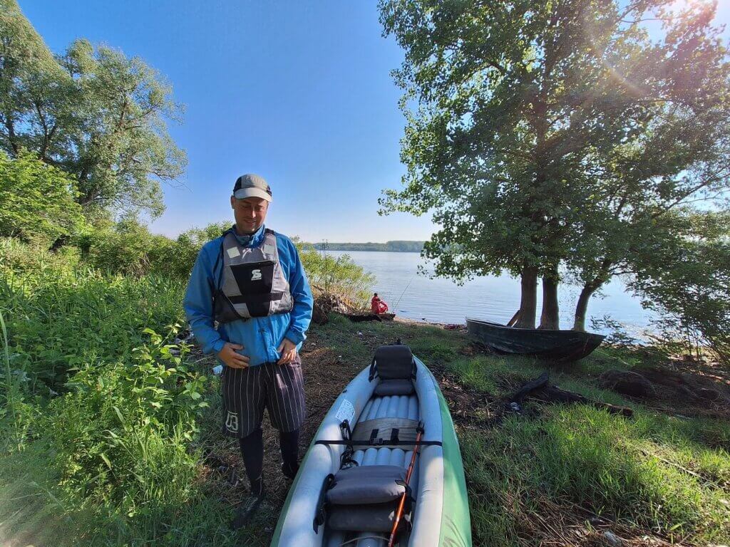
We put on our life vests and I put my phone in its waterproof case. I filmed another short video for Jonas where he talks about our trip to Belgrade today.
When we put Zucchini into the – still very filthy – water, the first guy asked me where we were from in perfect English. I guess we’re really getting close to Belgrade now. We chatted for a bit while Jonas grabbed the dry bags and installed them. And then we were ready to go. We said goodbye and wished him many fish or something like that.
I managed to get my butt into the boat without putting my feet in. I tried really hard to paddle out a little more and then wash my feet in the cleaner waters a little out there. Upon hearing my reasons, Jonas did the same. Once I was happy with the cleaner Danube water in my neoprene socks, it was time to paddle to the capital.
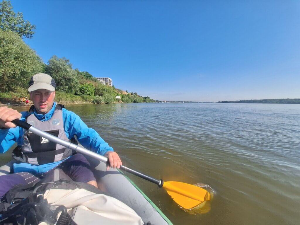
Starting time: 9:05. We zoomed down the Danube below last night’s accommodation.
Cliffs + Goodbye Vojvodina
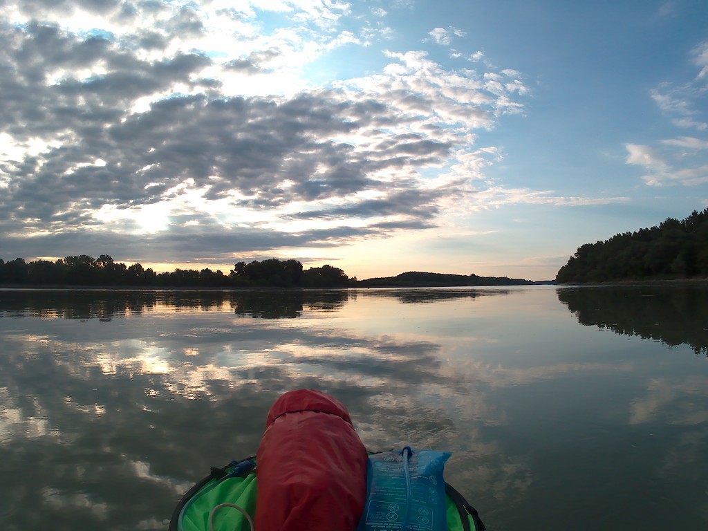
It was very sunny, so I put on my sunglasses to fight the strong glare of the water. Just wearing a sun hat wasn’t going to cut it.
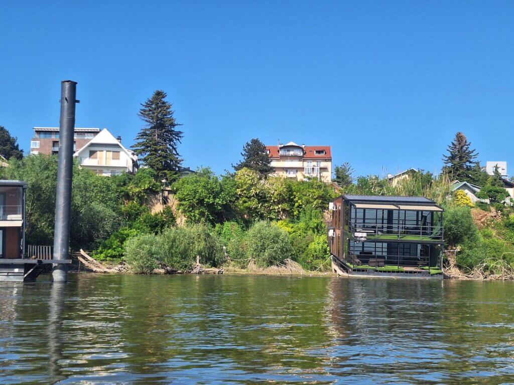
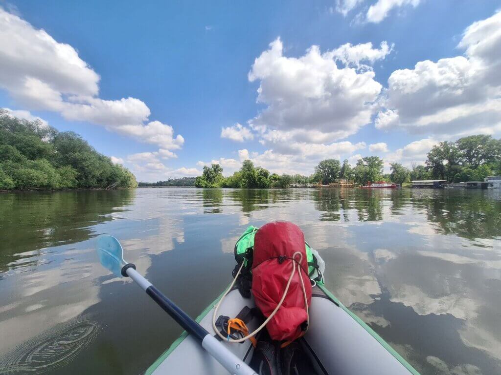
Paddling in direction southeast, we first had to leave the Novi Banovci area. This took quite some time, as we were still adjusting a lot of things to both the sudden sunshine and the warmer temperatures. The right bank of the Danube had a lot of summertime accommodations that were in various states of operation. Most standing out were these two floating houses that were fully diagonal and partially on shore instead of floating out onto the water. But they were fully furnished, including beautiful quality outdoor furniture by the looks of it, so it can’t be that abandoned.
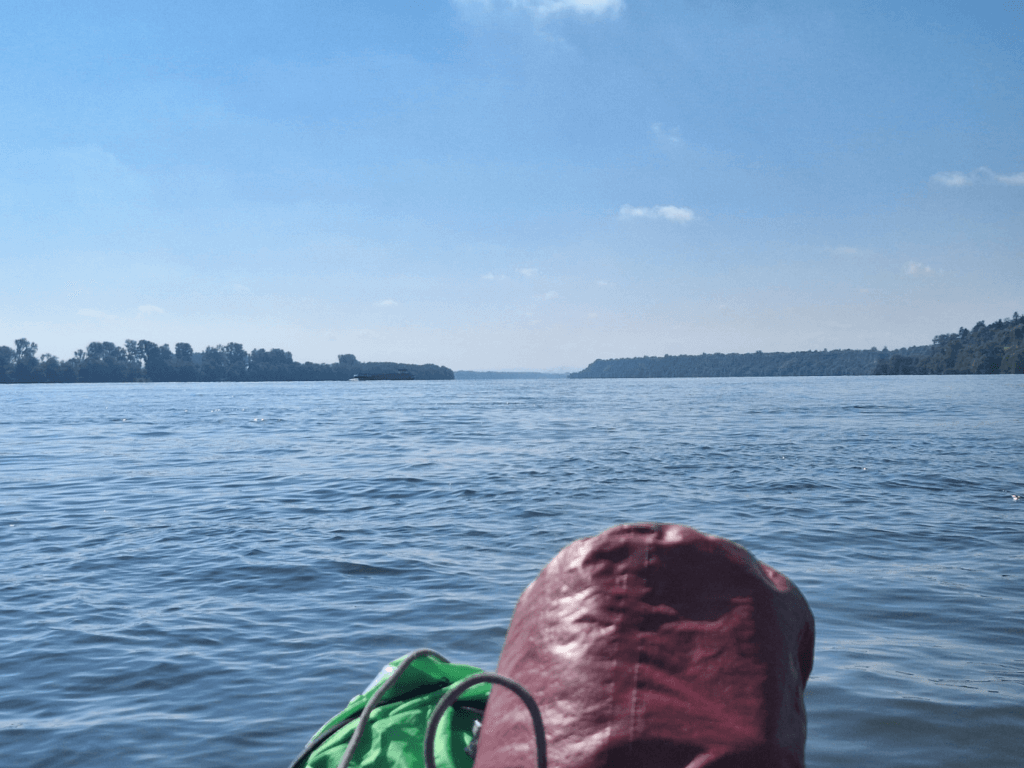
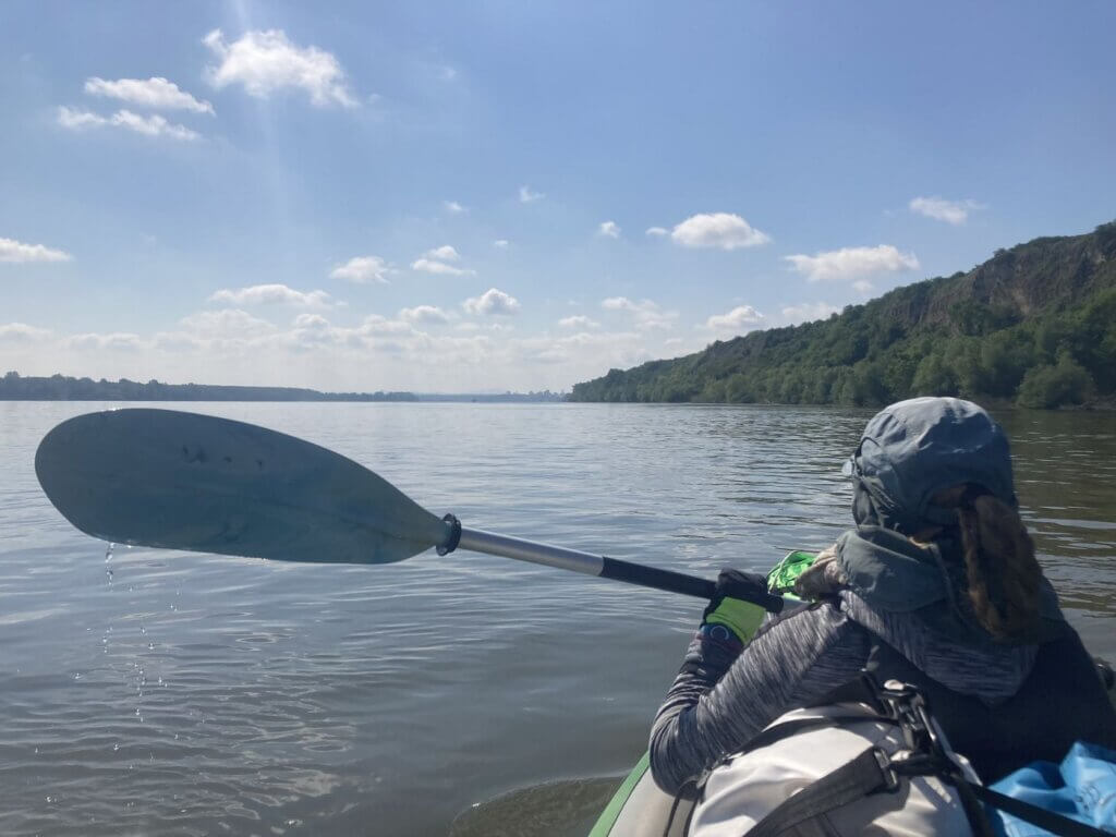
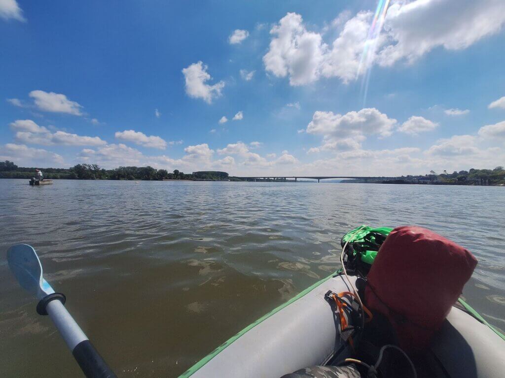
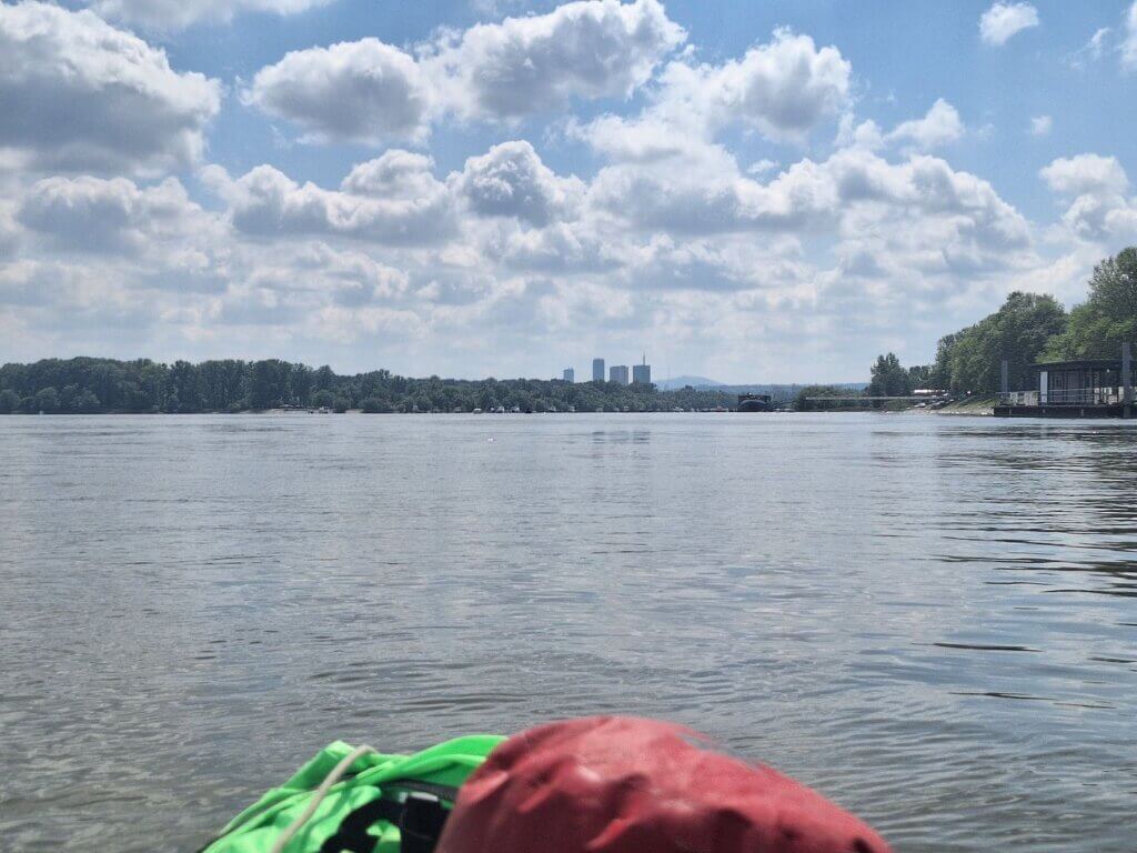
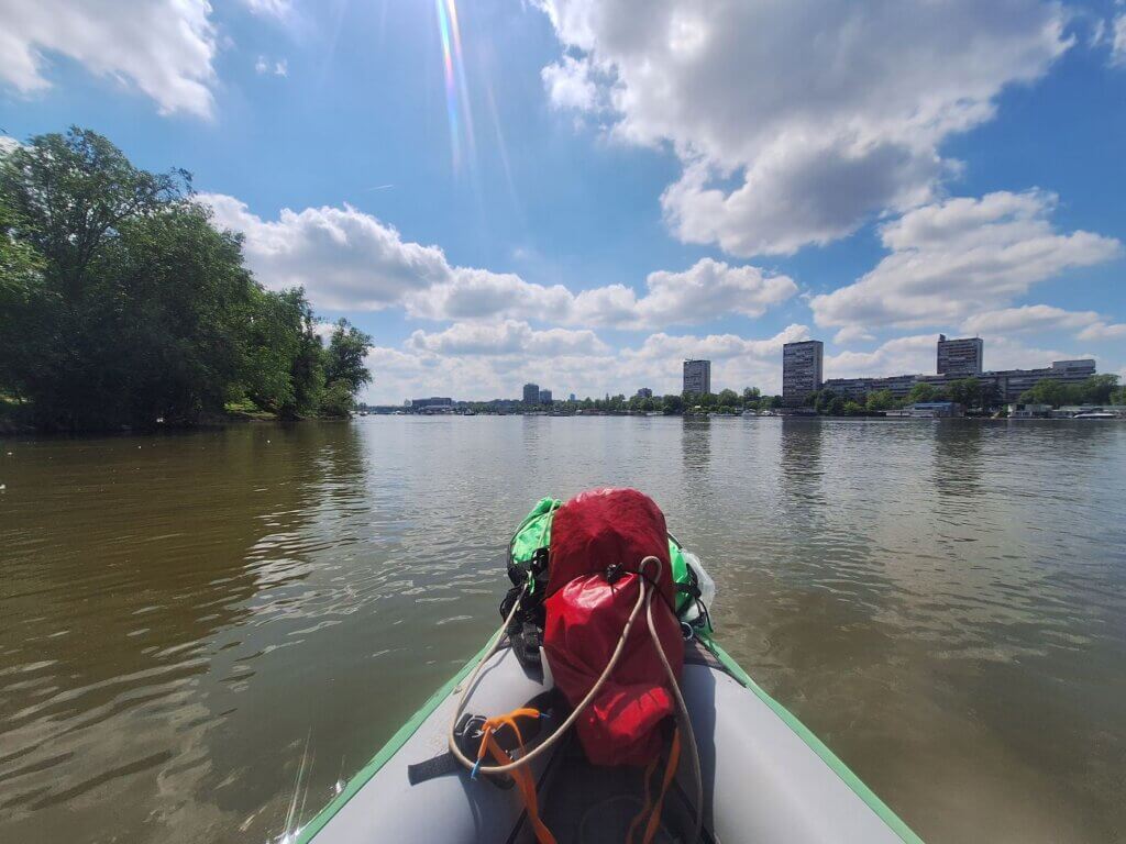
The perspective down the river was very weird today. The route to Belgrade goes almost straight downstream, but the river has these small turns here and there to obfuscate what’s coming. And it was hazy, so whatever skyline I thought I saw, I couldn’t capture on camera. The only thing that was clear to me was the tall spire of Avala Tower on the hill behind Belgrade.
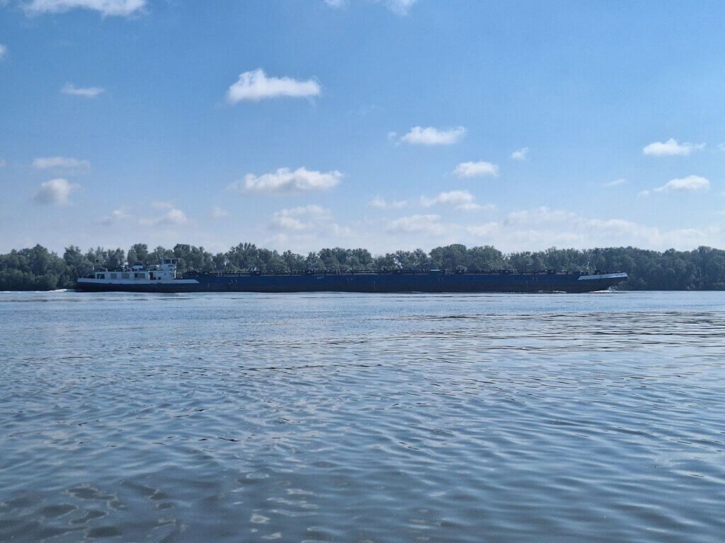
Sometimes it felt like there was a breeze coming from behind, but not enough to launch the kayak sail. There was one cargo ship coming upstream, but the heavy traffic I’d seen from our terrace this morning seemed to have passed.
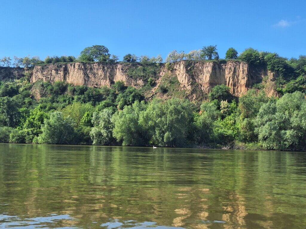
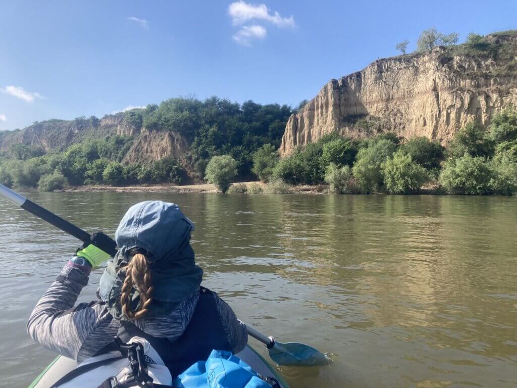
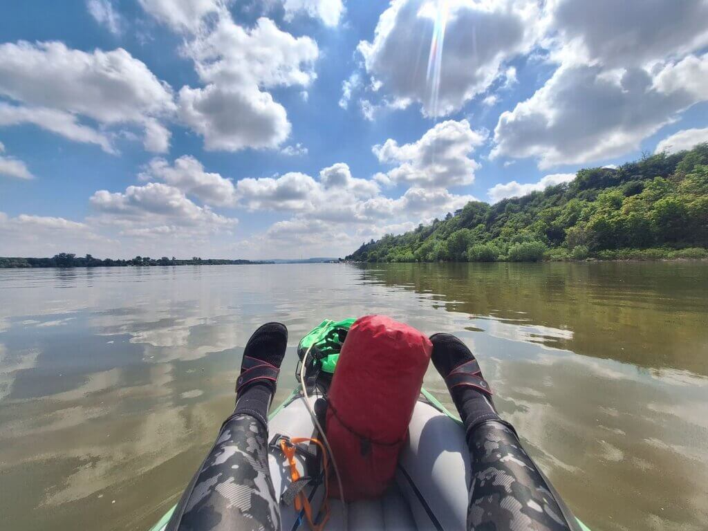
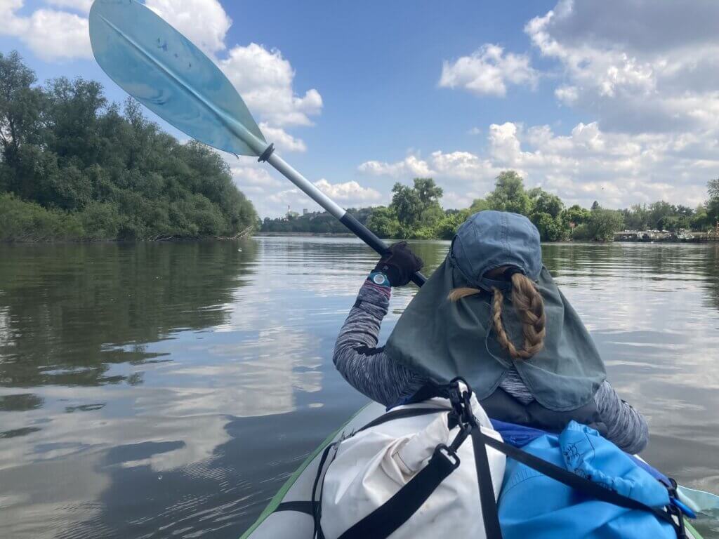
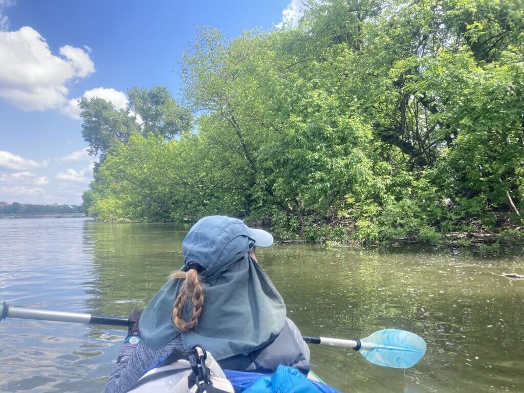
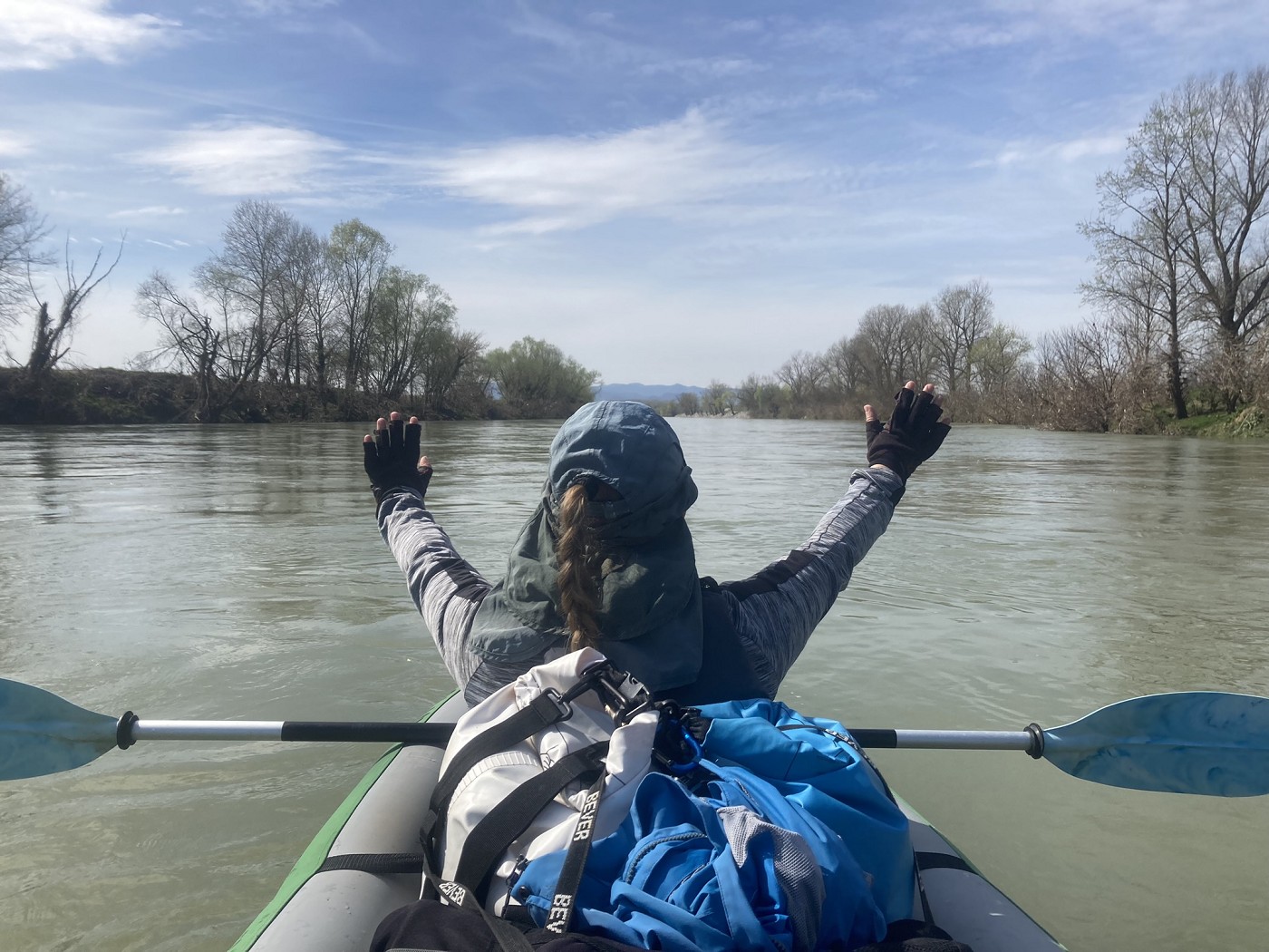
Once out of the Novi Banovci area, the beautiful loess cliffs on the right bank were back. I didn’t expect to see that much beautiful nature today on the way to Serbia’s center of economic activity. But this was nice, and the swans and other waterfowl seemed to agree with me.
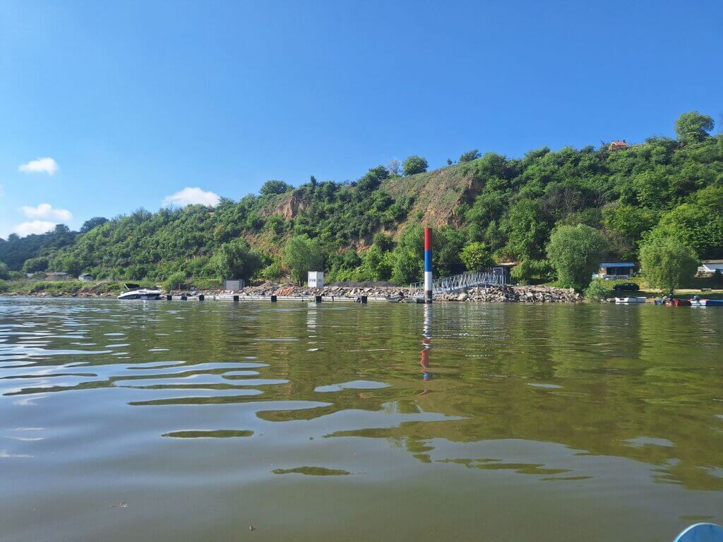
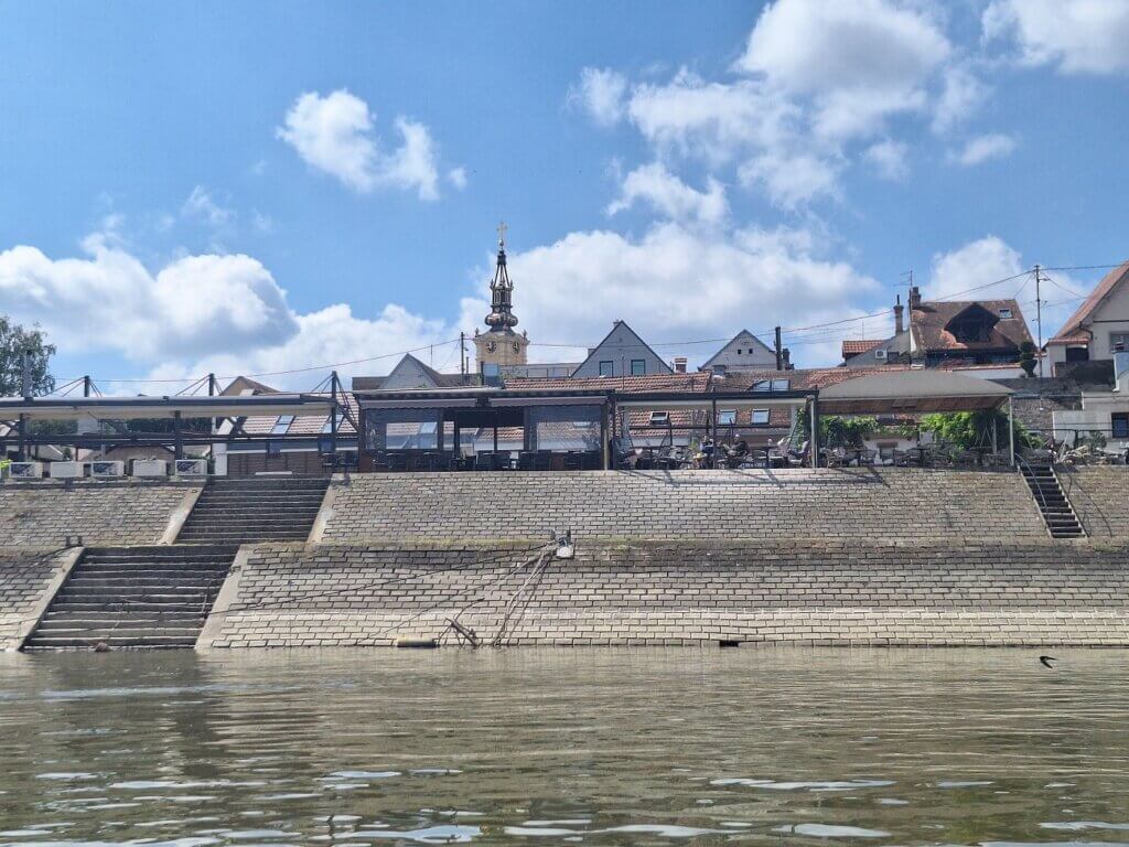
At 9:52, we spotted a small marina with some riverside restaurants. This is part of Batajnica, a village on the cliffs that is part of the municipality of Zemun, which is part of Belgrade. So not only have we entered the city limits of Belgrade, but also, we have left Vojvodina Autonomous Region after nine paddle days.
Pupin Bridge
I looked at the map. It felt like things were progressing only slowly. So far, we hadn’t really gotten into a paddle rhythm yet. And I was feeling hungry for a protein bar. But our rule is to not eat our first snack of the day till we’ve completed about one-third of the day. One-third of about 24 kilometers is only 8, which was a good motivation to get back into it.
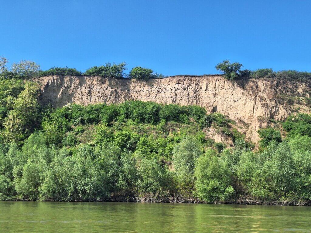
A cargo ship overtook us at high speed. To our right, there was a section of the loess cliffs that had many small holes in them. Manmade or birdmade? I will never know. (Edit: they’re nesting cavities made by a bird called the bee-eater)
At 10:19, we were one-third of the way. I let Jonas know immediately. He gave me my protein bar and he paddled while I ate mine. Then we switched. Feeling a lot better now.
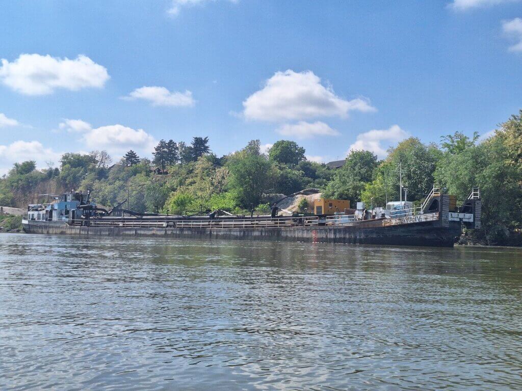
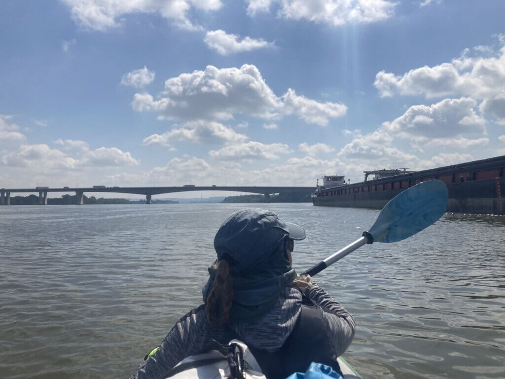
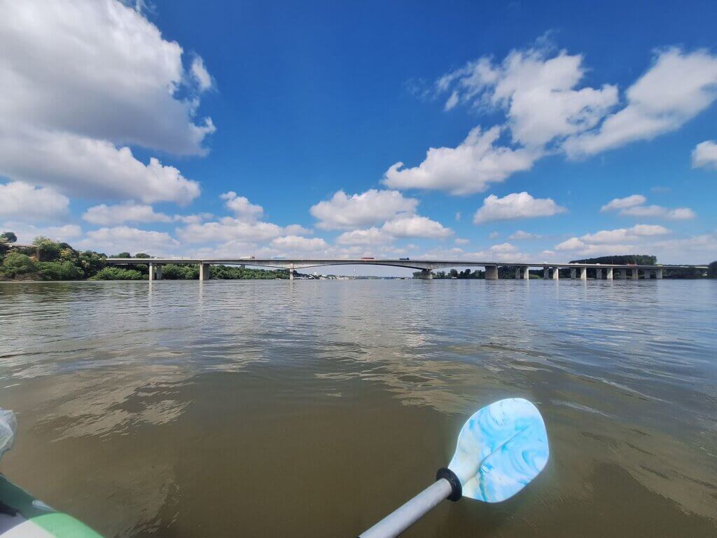
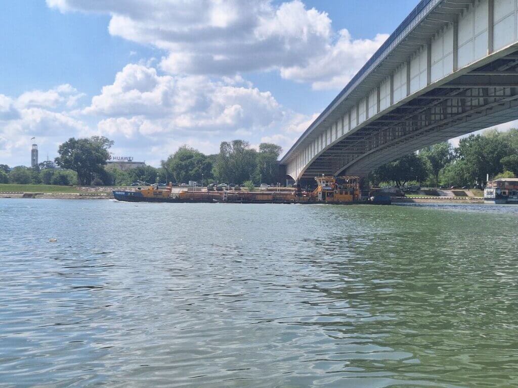
We could finally see the bridge. It’s the Pupin Bridge. I’ve been scanning the horizon for this bridge all morning. I feel like we should have been able to see it for a while already, but no, only four kilometers from the bridge, the thing appeared. It’s that hazy. We could see all the moored barges around the bridge. From our perspective, it looked as if some of them were actually blocking the main passage under the bridge.
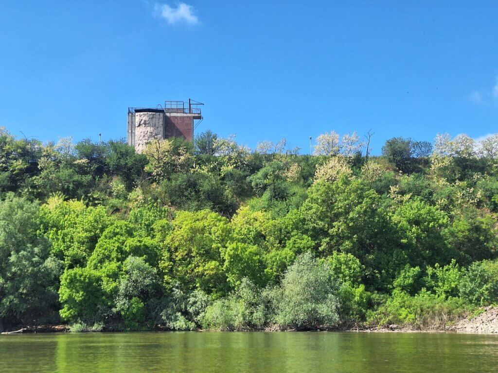
To our right, we heard the noise of shooting, so we started to paddle faster. Probably a shooting range up the cliff. The only thing I could see from here was an artificial wall of a rock climbing structure. Would be pretty cool to climb that and be so high above the Danube.
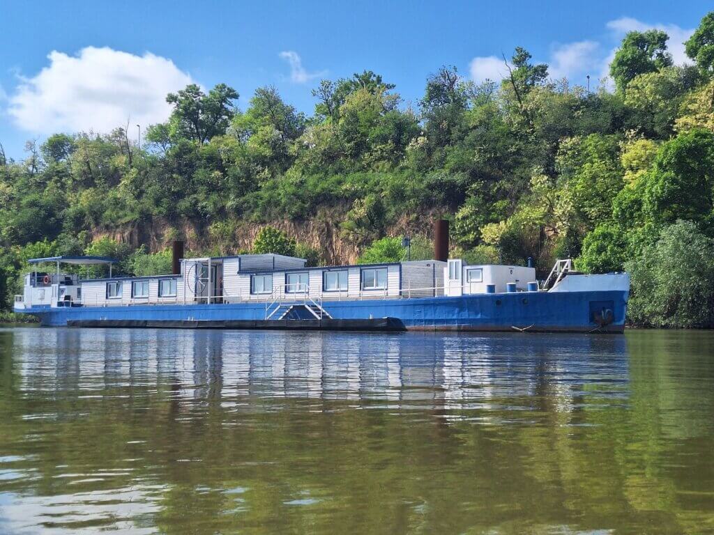
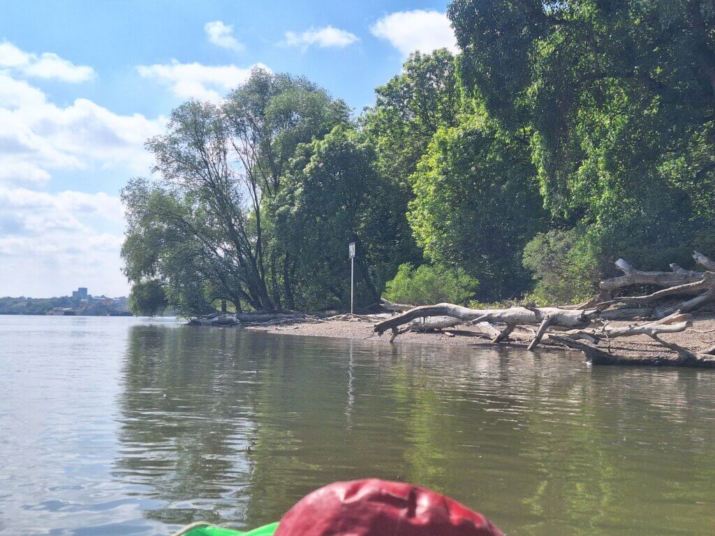
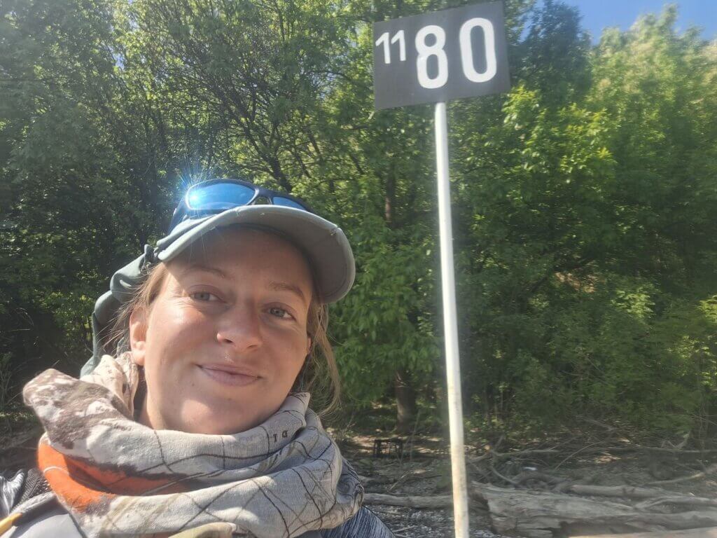
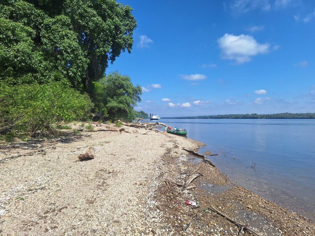
We came past a moored ship, beyond which lay the 1180-kilometers-to-go sign with a nice beach. Rather spontaneously, we decided to take a short break here. It was quite a nice spot only reachable by boat. There were signs of human activity here, such as dried-out fish carcasses and other fishing trash. Otherwise, it wasn’t so bad. And the beautiful weather made things look extra beautiful. After seven minutes, we continued.
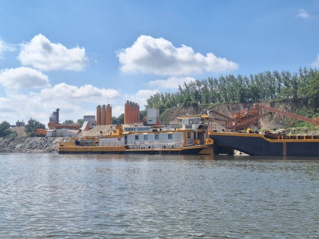
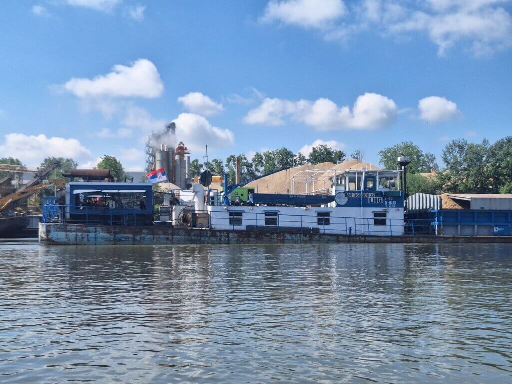
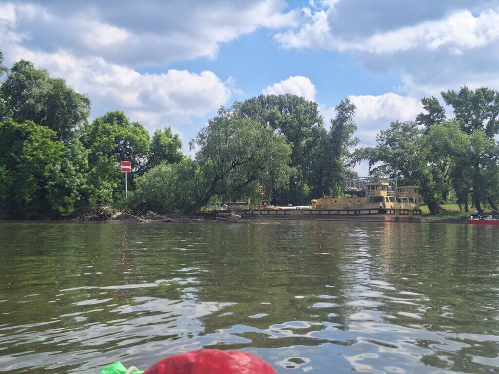
On the right, some kind of construction facility appeared. It was again the Karin Kommerc concrete company that we’d already seen on the day we paddled to Novi Sad. To add a little difficulty, there was also a fisherman in the water picking up his net. We passed around him. There were a lot of ships being filled up in this area. One of them started to slowly motor upstream while we passed it. A little dodgy.
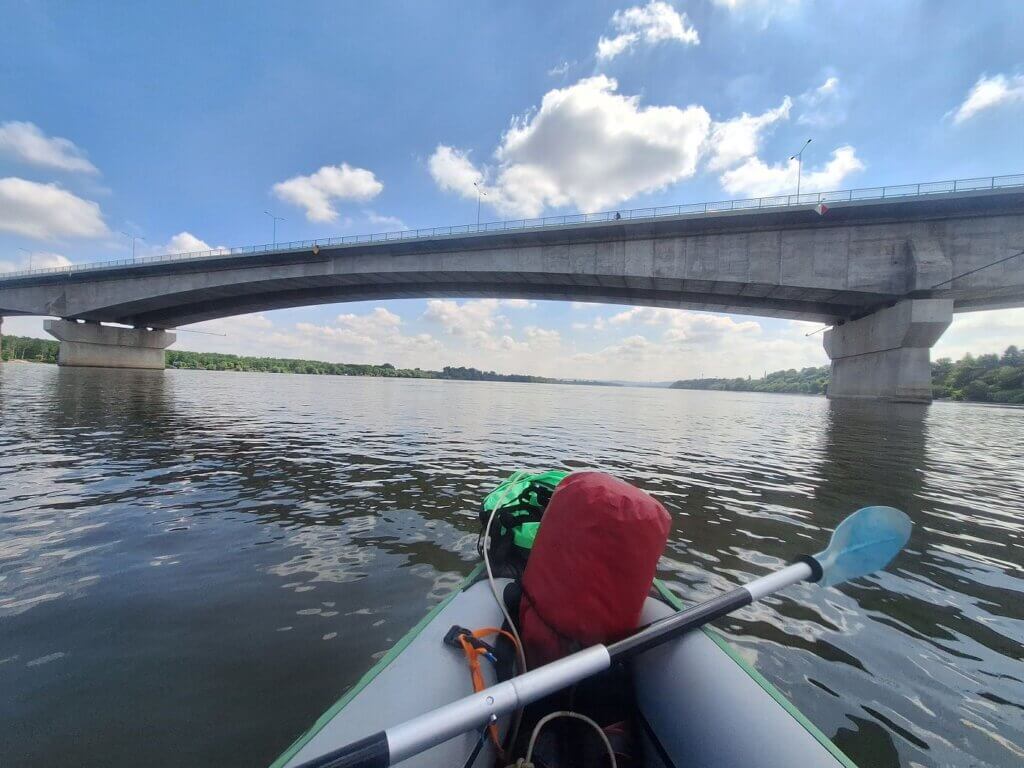
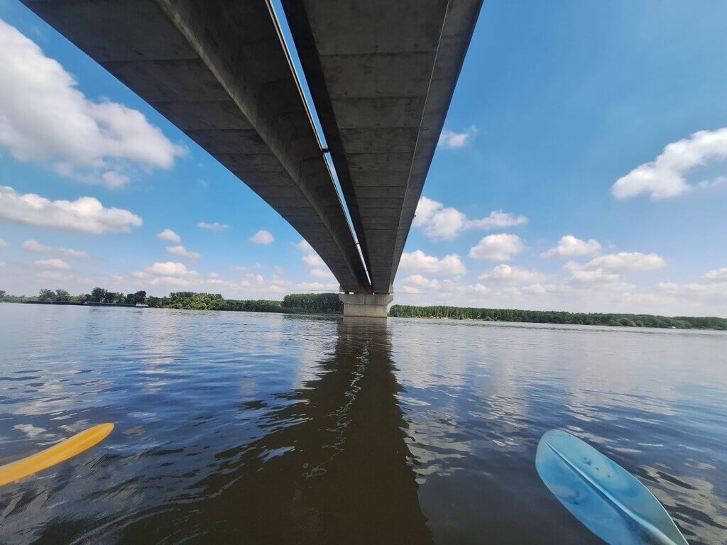
We were on the final approach to the Pupin Bridge, which opened only 10 years ago in 2014. The main passage was a little to the right of the middle. We decided to go through that gap as well since there were no ships coming our way. We did stick closely to the right beam of this arch. The gap between the two road directions let in a little bit of light while we paddled under the bridge. On the other side, I considered us officially having entered Belgrade city.
Landing at Great War Island
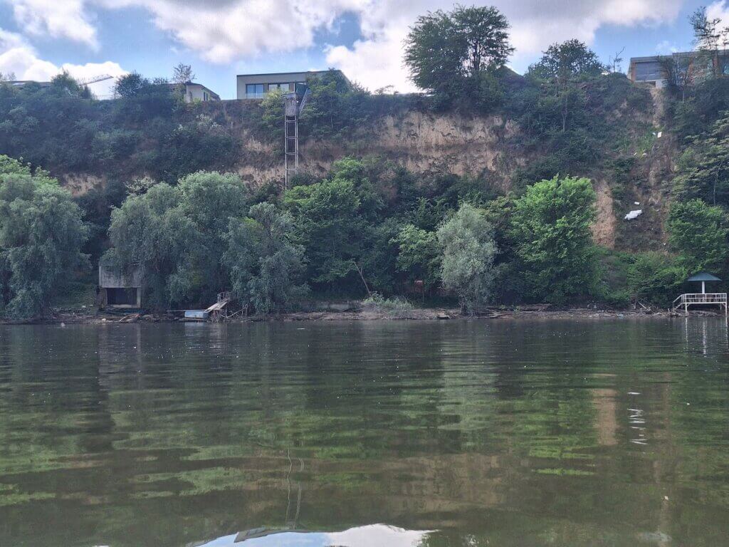
To our right is the Zemun area. Some of the villas in the area were quite fancy. One of them even had a (shoddy-looking) elevator to get down from the cliff to the Danube. I doubt it works.
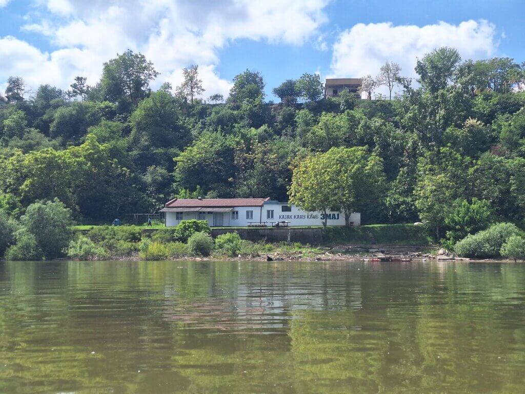
A Great Cormorant was resting on a floating log that flew off when we passed by too closely. And then we paddled past a surprise kayak club called Zmaj, meaning Dragon, like the bridge in Ljubljana. No one was there except this young couple that was snogging hard.
We were entering Belgrade proper. A marina – the first of many to come – appeared on the right-hand side. And we finally identified the head of Veliko Ratno Ostrvo, aka Great War Island. I’ve been thinking about going to that island for a solid nine years. The day is finally here.
We paddled past restaurants on the embankment with lots of people enjoying the sunshine and warm weather. Ahead was the anchorage site for small private boats. On satellite view, it looks like a real labyrinth of boats to navigate through. But in reality, it wasn’t all that bad. We just had to stick closer to the left of them on our approach to Great War Island.
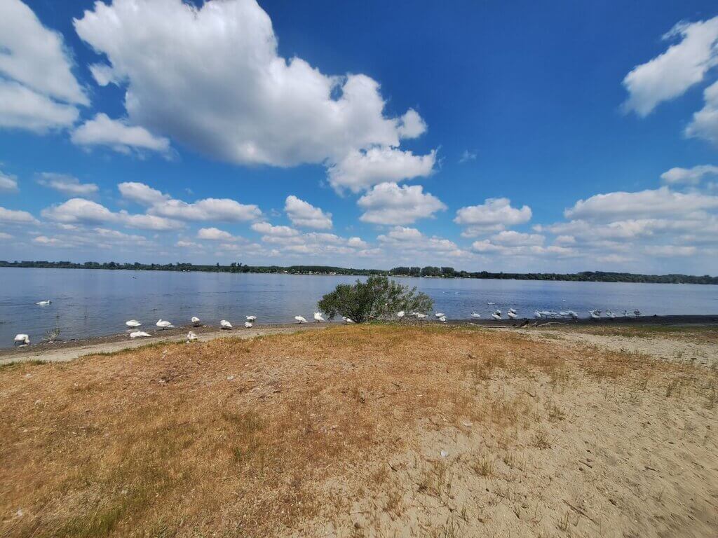
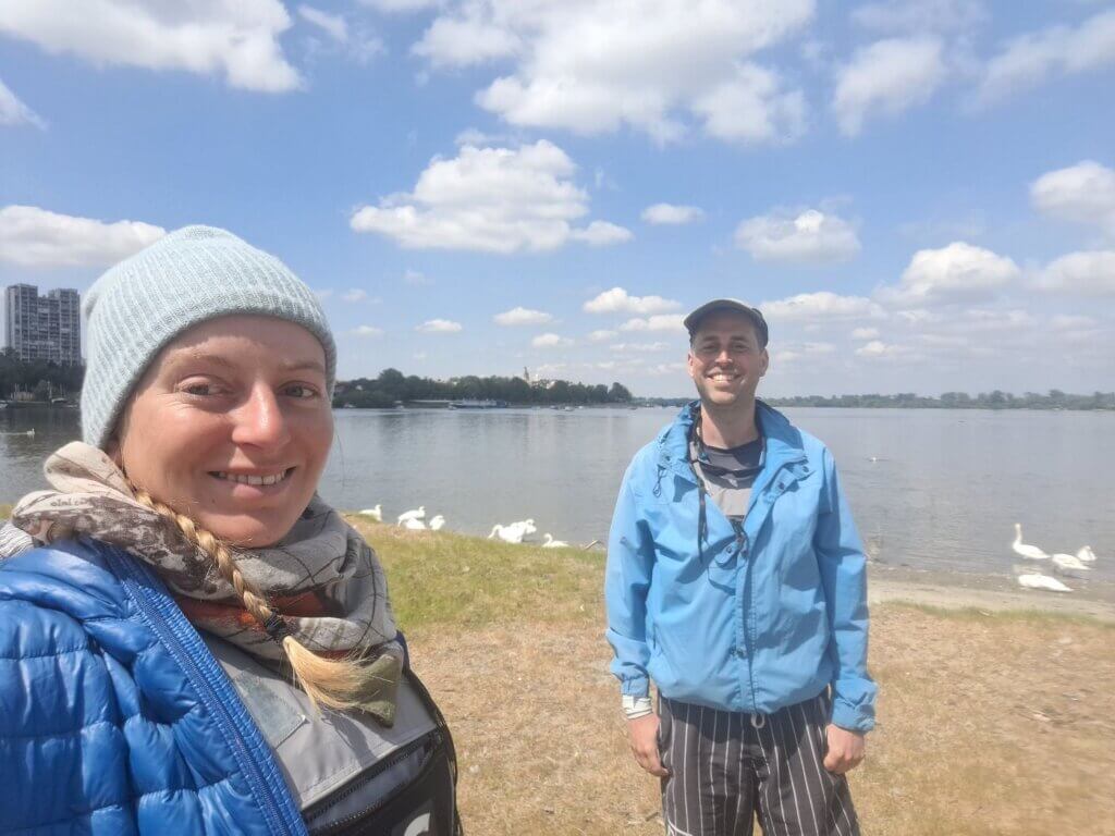
The head of the island has a beach named Lido Beach. While getting closer, I realized all those white dots were swans. Every day I get more surprised by how many swans there are on this section of the Danube River. It’s almost their nesting season, I guess, so we needed to find a spot to land that they would not get offended by. We approached it and Jonas landed us on the sandy beach at 11:58. Time for lunch!
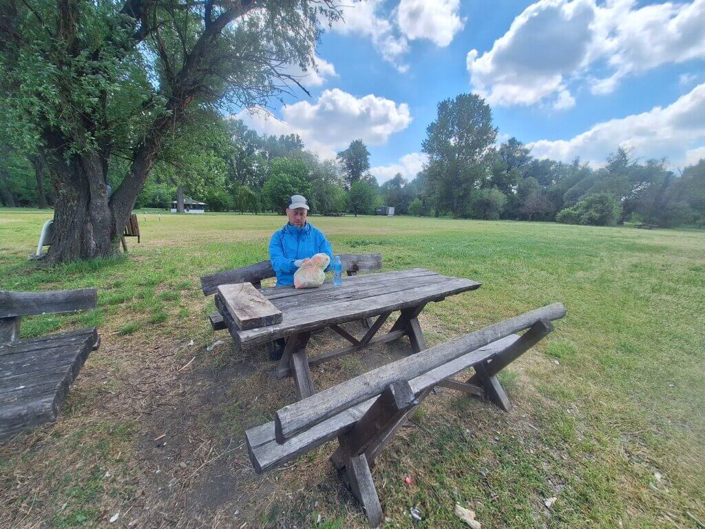
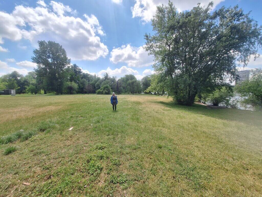
We spent almost an hour on Great War Island, admiring the views of New Belgrade, the Danube, and the many swans. Also, a guided kayak tour circled the island while we were chomping down on our sandwiches. I’d spoken to the guy who organizes the Great War Island kayaking tour online, but he was either less than helpful or his English wasn’t good enough to answer my (very basic) questions.
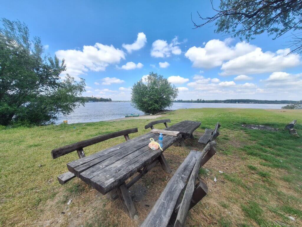
We didn’t have the time or chill to walk away from our boat and go on a big hike. That’s the disadvantage of not taking the ferry. We ate our sandwiches at one of the picnic tables. Besides us, there were only some guys around maintaining the island by taking away dead wood or something.
It’s a dream come true, but also not everything I wanted. If we had the information about the ferry and if it goes this time of year, that would be wonderful as a return trip. Then we could hike the entire island since it’s as flat as the Netherlands. But returning to the island during our week doesn’t have much of a priority anymore; I’d rather go to Avala Tower—another place I haven’t been to before.
It was time to finish this trip. We sat down and discussed our final approach to Little War Island and paddling against the Sava River. We thought it would be a good idea to immediately cross the Sava to its right bank. But we’ll see it when we get there.
Kayaking to Belgrade Up the Sava River
We got back into the boat at 12:53 after taking another few videos for Jonas’ little vlogs. Little did we know they would be quite well watched, including by our host in the place after Belgrade: Grocka na Dunavu. There were better landing spots on Veliko Ratno Ostrvo and also some signs. I’m not sure how okay it is to just land there.
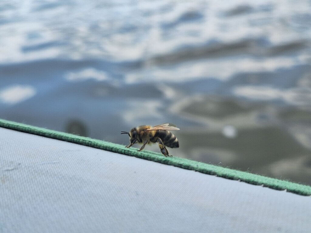
We paddled past a small anchored sailing boat with a man chilling and fishing. A bee landed on Zucchini for a little rest.
Then we continued on the left-hand side through the Danube passage that ends up in the Sava on this side of the island. Soon, we saw the thin strip that is Little War Island. Because its sediments were used to build New Belgrade, there’s not much left of the island. To the right of Little War Island is some kind of Serbian River Flotilla base. Perhaps that’s where the navy ships came from when we were having lunch in Stari Slankamen a few days ago.
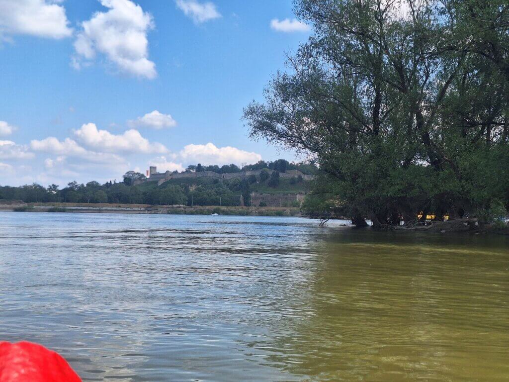
Little War Island is mostly a bird paradise now. I touched one of the leaves from a tree on the island. We weren’t going to land, to not disturb the birds. Behind the island, we saw the outline of Belgrade’s famous Kalemegdan Fortress.
After the island, it was time to battle the Sava River (again). Long time, no see.
To our right on the New Belgrade side, there was the kayaking base from that tour company. They had finished their trip and were unpacking the kayaks and drying them out. The tour guy waved at us to acknowledge our existence. We reciprocated.
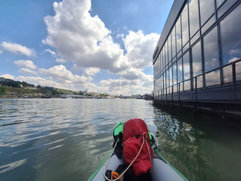
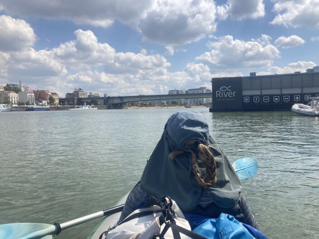
Now we turned the corner and left the Danube for the Sava. We had anticipated a strong current, so we paddled in at high speed. We continued upstream on the left bank to our right. That’s the New Belgrade side where the river restaurants and clubs are located. Upon closer inspection, we saw that all the cruise ships in Belgrade were moored on the right bank of the Sava. How the fuck did we miss that on satellite view?
Since we try to not fuck with cruise ships, we decided to keep paddling on the floating restaurant side. If any of these cruise ships leave while we’re paddling right below them, focusing on not losing our upstream with every stroke, we’re royally fucked. So we stayed on the right-hand side.
I was thinking it, Jonas was thinking it: the counter-current isn’t all that bad?
Is the Sava just mature and tired by the time it’s in Belgrade? This is not the Sava we know from Slovenia and Croatia. Getting out in Zagreb was a real challenge with high stakes.
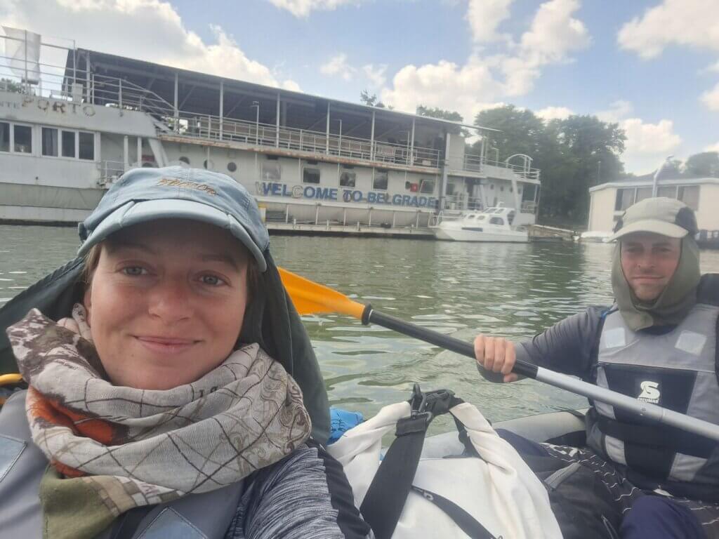
Jonas was even able to paddle upstream by himself while I took some photos and videos. We could also use the river restaurants to hold onto if we wanted like we’d done in the Ljubljanica River. But it wasn’t actually necessary. I took a cute photo with a river-facing sign that read “Welcome to Belgrade”.
Not all floating restaurants and bars were in great condition. Some of them were destroyed, presumably by the most recent Sava flood. Some were just rusty and looking smelly. I think it’s not a bad concept, but I think the value of putting a bar on water is just not that great.
The music came from the boomboxes above us as we paddled beneath riverside relaxation spots. If anyone had been sitting in one of these hammocks, they’d probably be shit scared if they realized there were two people below them. But there weren’t any crowds at the clubs at this time of day.
At a restaurant called TAG, we had a bit of a rest before we intended to cross over to the left, the right bank of the Sava.
We would want to do so diagonally to also make good forward progress. The currents on this side had been very gentle. At that point, there were just a few forever-moored ships on the other side and no more cruise ships. One is the River Monitor Sava, which fired the first shots of World War I on behalf of Austria-Hungary at Serbia back in 1914. She was later captured by Yugoslav forces during her withdrawal toward Budapest in 1918.
We began our journey across at 13:40 and didn’t stop until we landed at our intended spot just after Gazela Bridge. The current in the middle of the Sava and on its right bank were downright bitches, but there was never any doubt as to whether we would make it. It was just very slow goings.
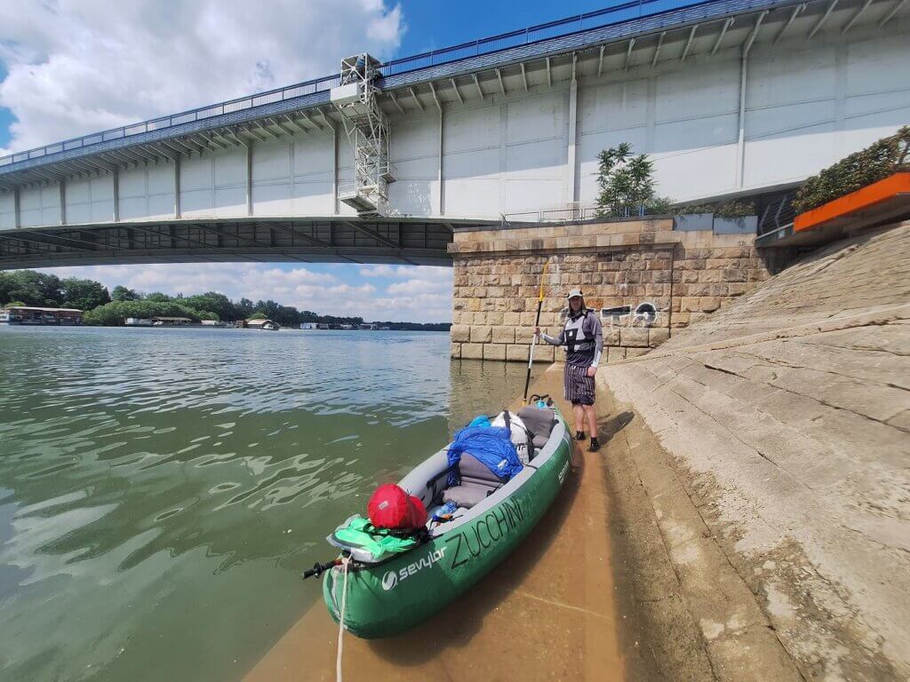
Once under the Gazela Bridge, the current slowed down again. This bridge, opened in 1970, wasn’t bombed in 1999. But the New Belgrade side of the bridge used to be home to a slum called Cardboard City of about 1000 (mostly Roma) inhabitants until 2009 when the bridge needed reconstruction.
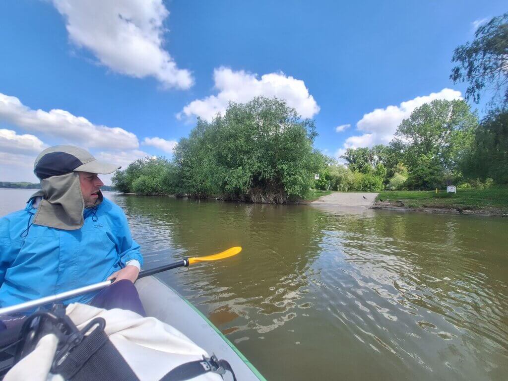
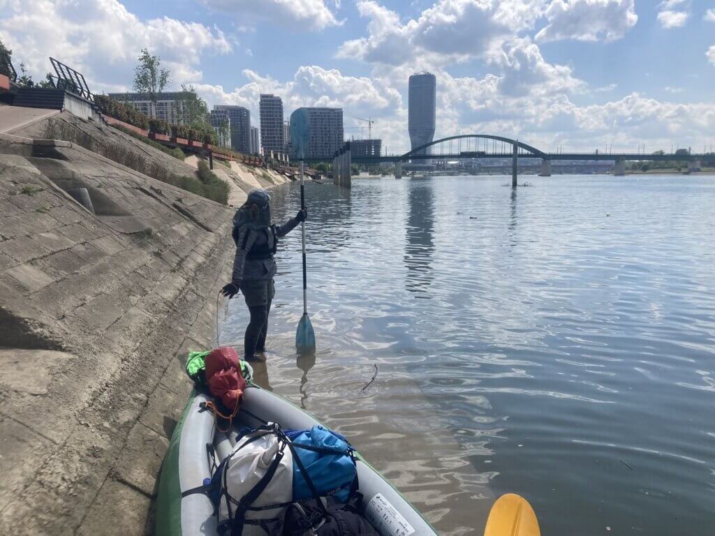
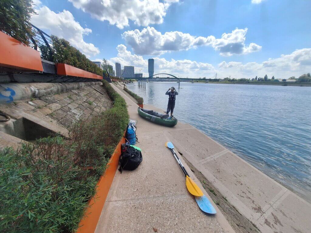
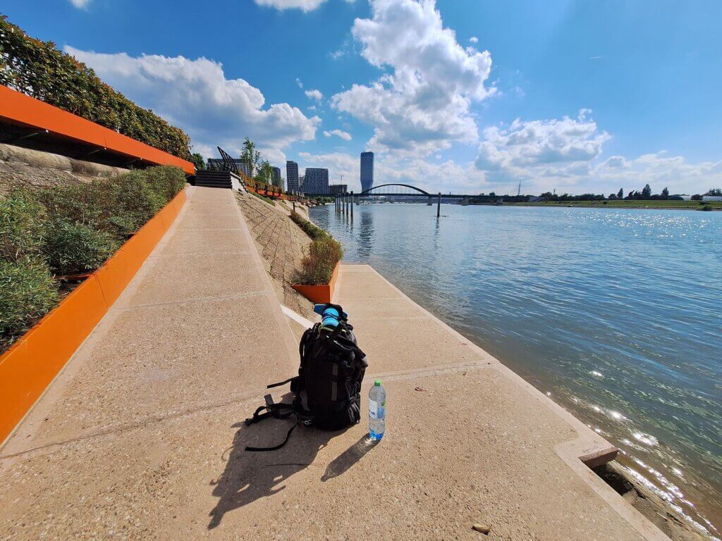
We landed right after the Gazela Bridge, where satellite view had shown us that there was a lovely bunch of weaving landing spots with ramps and stairs to the boulevard. It was even more wonderful than anticipated and it was very similar to our landing spot in Vukovar, Croatia, but with less hassle. There was a nice bit of concrete with 20 centimeters of water, perfect for getting out.
Arrival time: 13:50. These last 1.2 kilometers against the Sava, we paddled at a speed of 2.6km/h. This brought down our average for the whole day a little bit, but it’s all fine.
We dried the boat and chatted to a Roma city street sweeper who spoke German and loved that we arrived by kayak. There was still plenty of sun, so we also managed to dry Zucchini well before she stayed in her backpack for the full week we were in Belgrade. I was very happy we’d arrived in my old environs and couldn’t wait to show Jonas some of the good stuff and show him my old street.
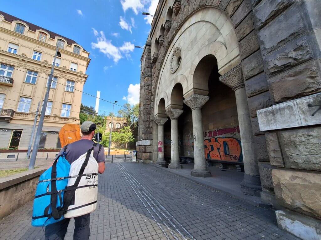
Once we’d packed up, we walked and climbed the many stairs to our Airbnb some 600 meters away.

