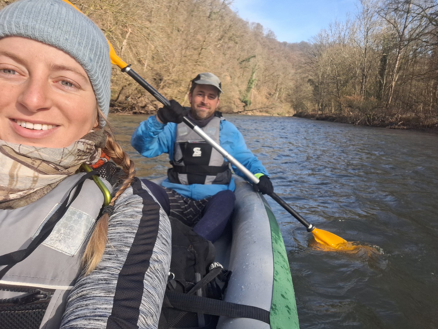
We kayaked the Agger, Sieg, and a bit of the Rhine rivers on Thursday, the 29th of February, 2024. Besides having fun, this was also an important test for our inflatable kayak Zucchini, which had been in storage for over 4 years since paddling the Morava River. Will she float? If she passes her shakedown cruise on these three rapid rivers, we shall take her to Mohács to kayak the rest of the Danube River this year.
Contents
- 1 Four Years, Four Months, and Twenty-Nine Days of Slumber
- 2 Inflating Zucchini + Testing for Leaks
- 3 Planning the Agger Trip
- 4 Zucchini’s Shakedown Cruise
- 5 Right-Left Maneuvers on the Agger
- 6 Portaging Around the Agger Weir
- 7 Agger Confluence with the Sieg + Testing our Camp Stove and Pot
- 8 Indicator Species of Spring + Sieg Reaction Ferry
- 9 Sieg Confluence with the Rhine
- 10 Repacking Zucchini + Traveling Back to the Agger
- 11 Map of Kayaking the Agger, Sieg, and Rhine + Tips
- 12 Wish to support my blog? Consider buying me a saucy pasta
- 13 Good read? Sharing helps me enormously!
Four Years, Four Months, and Twenty-Nine Days of Slumber
Inflating Zucchini + Testing for Leaks
Before we could take Zucchini back to the Danube, we had to try her out again. Anything could have happened in her hibernation years—mold, mice, general gone-to-shitness. If she doesn’t inflate, we need to order a new kayak. So how long we’re staying at Jonas’ mom’s place depends on how much time is appropriate plus delivery times of a new boat.
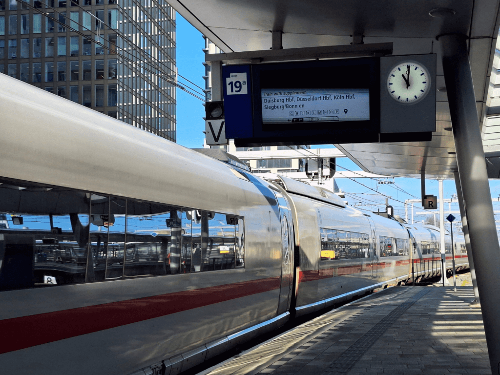
After picking up some other kayak things in the Netherlands, we traveled to Germany by train. I’d already mapped out a potential route on the Agger, Sieg, and Rhine rivers on my OSMand+ map. I’d figured out the kayak function just a few weeks earlier and it’s been life-changing. There’d be one weir to portage and the water level apps (such as Meine Pegel + RiverApp) said that there was enough water in the rivers. I’d been stoked about this for a while, but Jonas wasn’t feeling it yet.
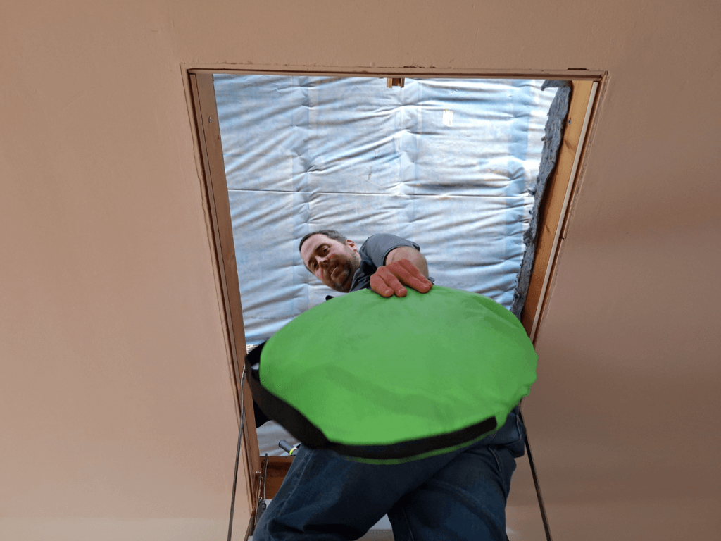
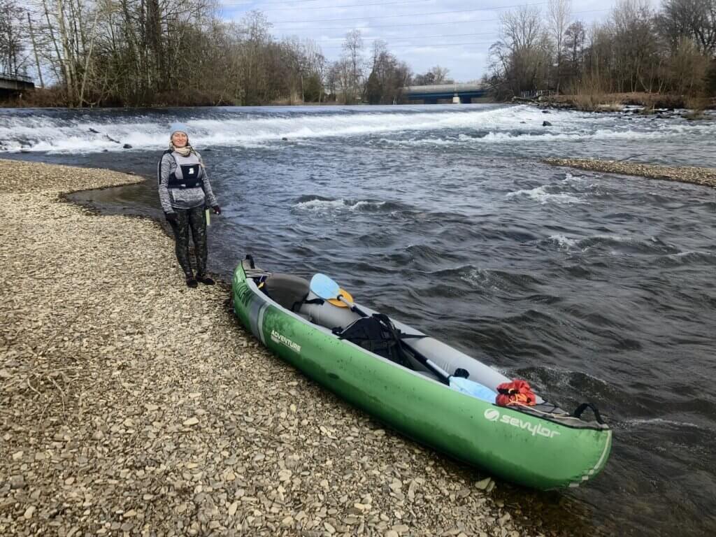
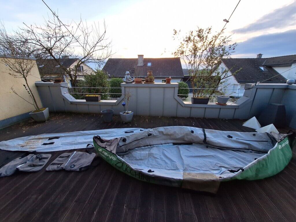
Immediately upon arrival to the hamlet above the banks of the Agger, we went up the attic to bring down Zucchini. I’d seen her in March 2023 in the attic as well, but we didn’t unpack her back then. Jonas gave her – heavy as ever – to me. The weather outside was beautiful, so there was nothing stopping us from inflating her.
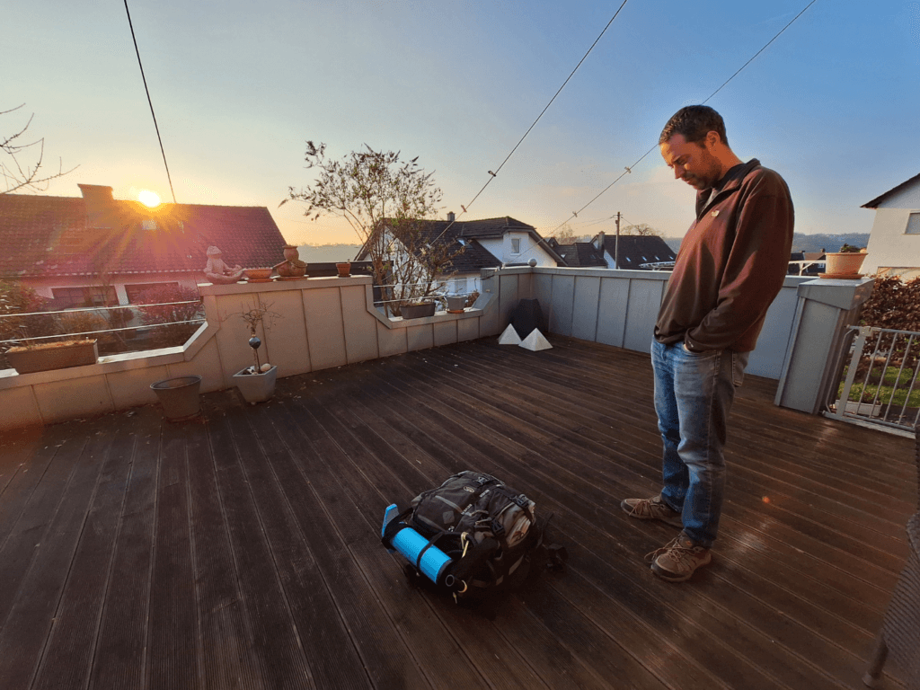
We went outside on the terrace and paid careful attention with unpacking her. It’s like unfolding a paper map in a sense, that the benefits of paying attention early will be rewarded when the time comes to fold things away.
It all felt familiar and yet unfamiliar. We’ve unpacked and repacked Zucchini about 50 times, but it’s been years. Dealing with the course fabric reminded me to cut my nails short at the earliest opportunity.
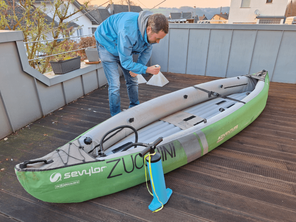
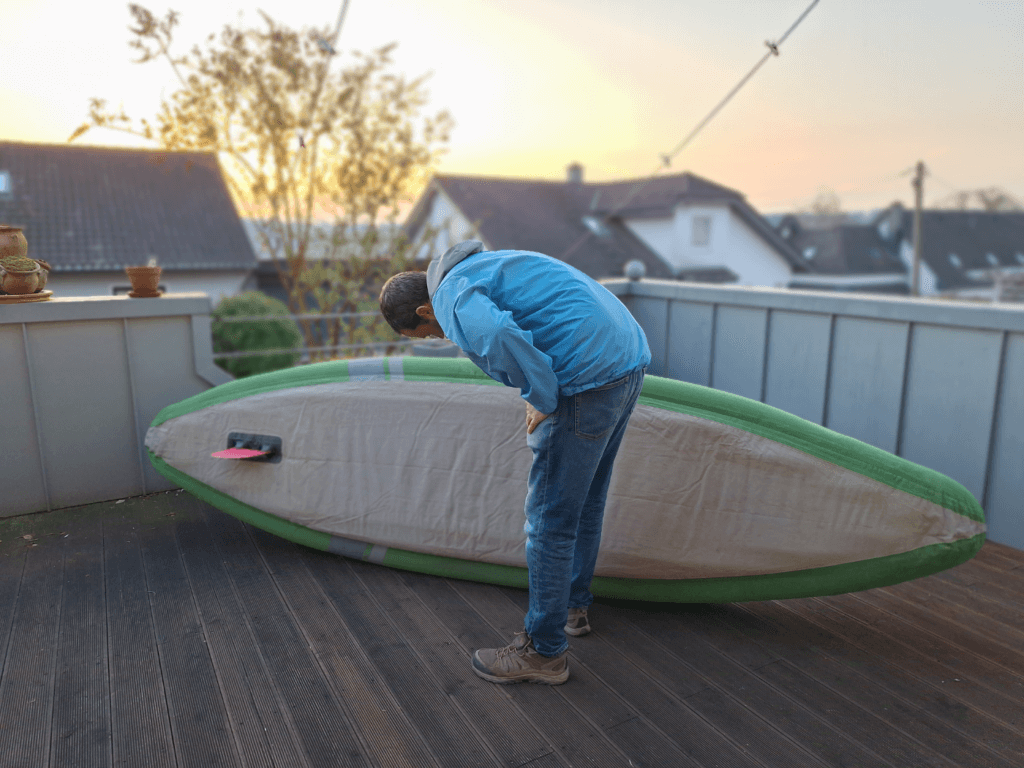
We folded Zucchini out, installed the fin, and started pumping her up, starting with the bottom. I thought it was better to partially inflate everything so we can see if the shape is right. The left air tube didn’t inflate well as it was twisted in the very front of the boat. We deflated it, zipped her open, and tried our best to untwist the air tube. Then we finished inflating her and checking with the manometer if the pressure was right.
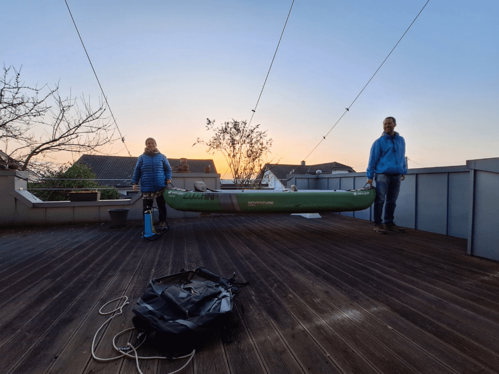
There she was, in her full glory. Sturdy and spacious, Strong and lightweight. What a cool fucking boat that is.
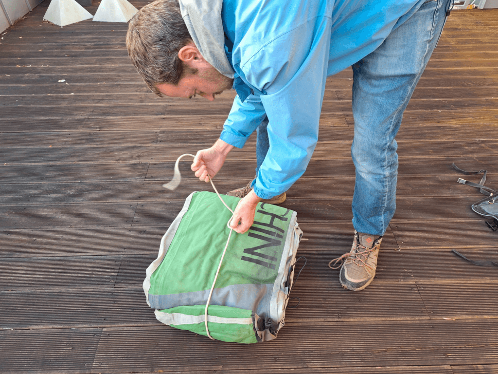
By the looks of it she was the same as in 2019. Now that we’d tested her for leaks and damage, it was time to deflate and repack her. That was a bit of effort and we had to roll her three times before Jonas sort of fit her back into her CabinMAX backpack. The plan was to take her on a trip down the Agger river on Thursday, when the forecast predicted sunny weather and a high of 13°C.
Planning the Agger Trip
Now that we’d done step one of the Zucchini recertification process, we could plan out our Agger trip for real. The plan was to put Zucchini in the river downhill from Jonas’ mom’s house. It’s about an 800-meter walk. The second part of the test is if she doesn’t deflate during a full day of paddling without heavy luggage. The heavy luggage test will come another time.
The day before our planned Agger trip, we walked along the banks of the Agger to find a suitable spot to put her in the water. We found several suitable candidates, but one (coordinates: 50.87705° N, 7.24828° E) stood out. It was easy to walk down there and long enough to put the boat in the water parallel to the shore. It’s just upstream from the first rapids, which I thought looked mostly like fun and not dangerous at all.
With the entry point fixed, it was time buy food and to do the research online. I mapped about 29 rapids or river islands to get past, so we won’t attach the fin to the bottom of the boat. Jonas found reports in German about paddling the Agger with some mention of one tricky spot. There we’d have to do a sharp right-left maneuver. It was 3.6 kilometers upstream of the Agger weir according to this report. We measured but couldn’t find the exact spot, so we took a guess. I intended to make a better map of this section of the Agger, Sieg, and Rhine anyway, which you can find at the bottom of this article.
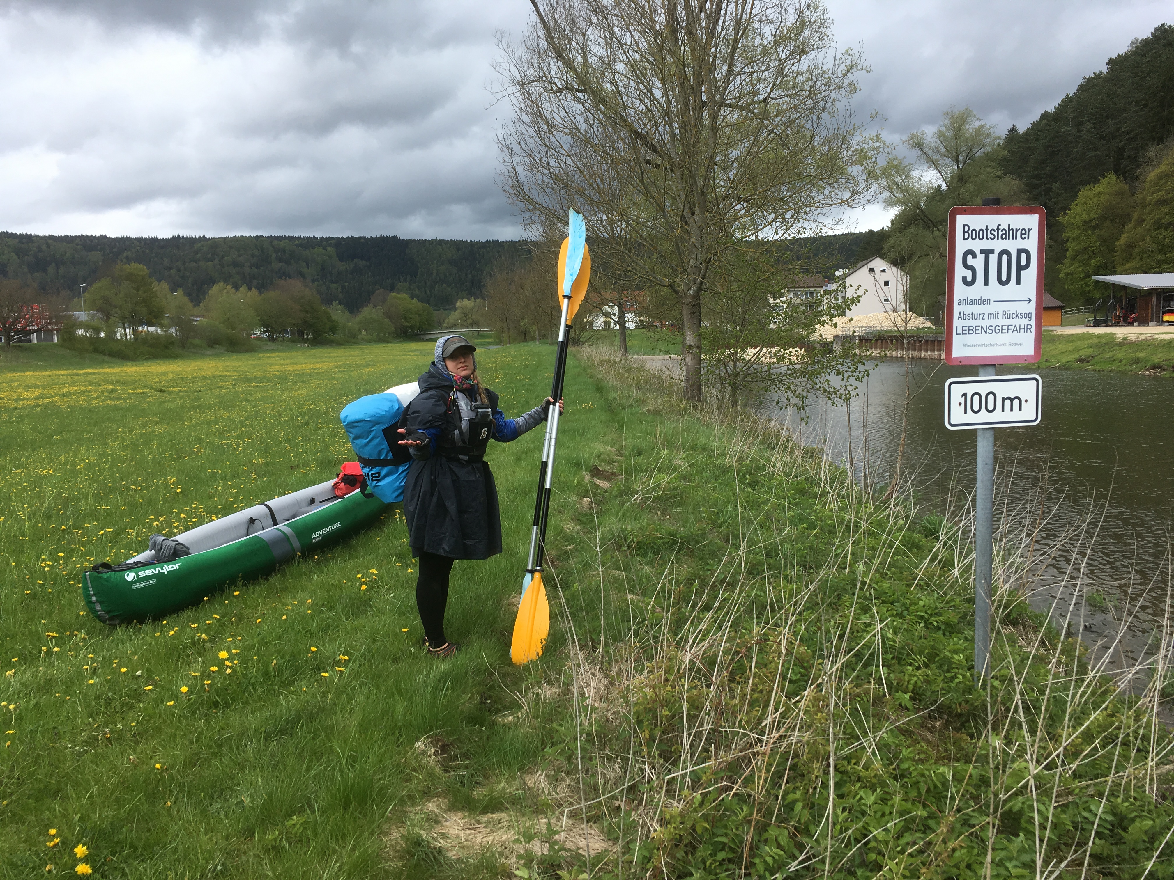
Some reports say that one must go down the Agger weir, which is something we would not like to do; our boat is generally too long and we don’t want to scrape the bottom unnecessarily. But the report said that portaging is not allowed because this area is a Naturschützgebiet (protected nature area). Still, we’d rather break that rule and portage than potentially injure ourselves or Zucchini. Quickly after the weir, the Agger flows into the Sieg.
We decided the exit point should be Mondorf on the right bank of the Rhine near the ferry. From there it’s two buses back to Jonas’ mom’s house. I still wanted to include a short section of the Rhine to sample another big river in Europe. Jonas was a bit worried about this from his experience on the Rhine near Koblenz as a student. I wasn’t too worried about this.
In total, this paddling distance is about 23 kilometers. With the water levels high-ish on all rivers, it should be a relatively fast trip. Paddling 23 kilometers after not paddling since Finland would be rough on the arms if the river would barely move. This trip is not only to test Zucchini, but also ourselves and our arm strength.
Oh, and we also wanted to test out our new camp cooking system!
Zucchini’s Shakedown Cruise
The following day, we took it easy and woke up without an alarm. We felt it was important to let the dew on the grass evaporate and the air temperature to warm up. This kind of weather can go both ways depending on our clothes, so we had a lot of contingencies.
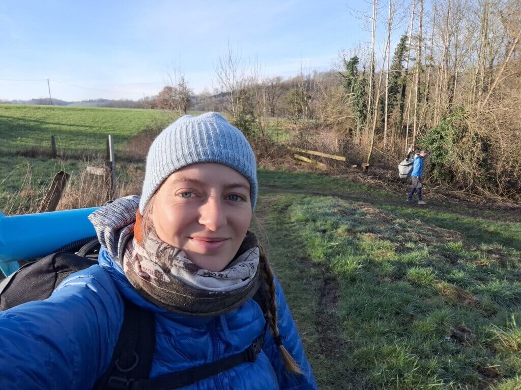
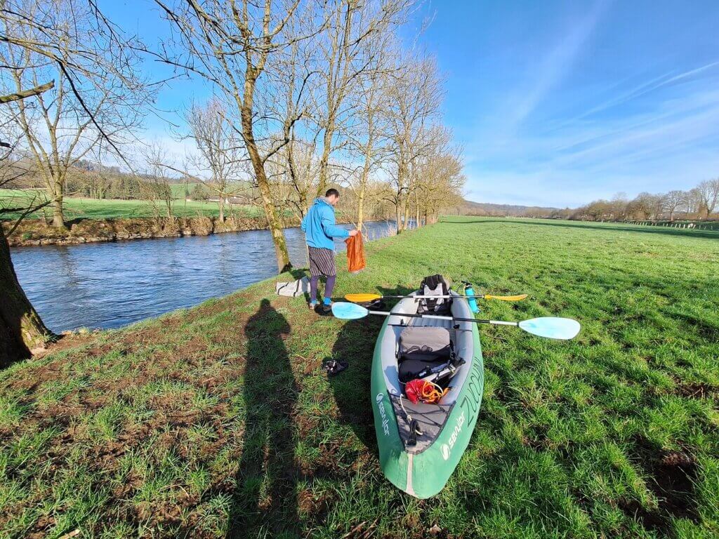
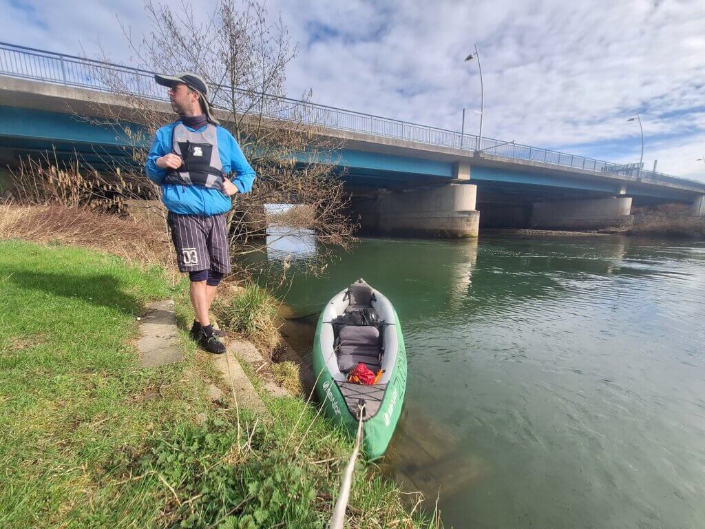
We walked downhill and crossed the big road to a field next to the Agger. It took us quite some time to inflate the boat, change from land shoes into water shoes, and pack and attach everything we took to the boat. I opened and closed my personal dry bag about four times before I had everything I needed on my body and the rest neatly packed away. With all the rapids ahead of us, we anticipated getting everything and everyone quite wet.
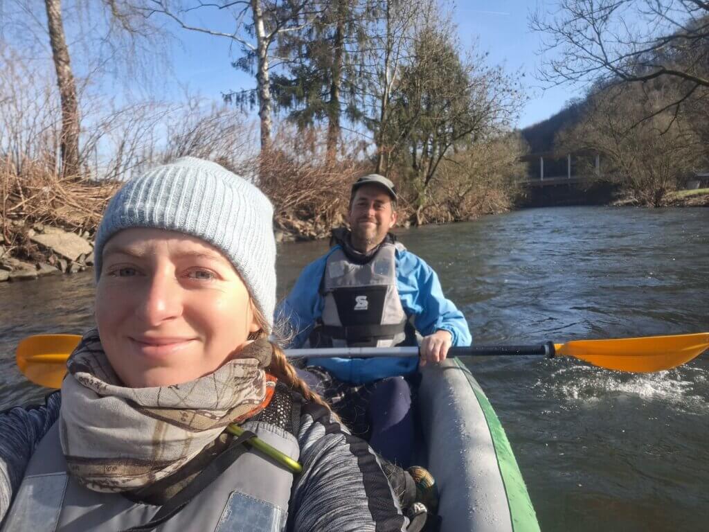
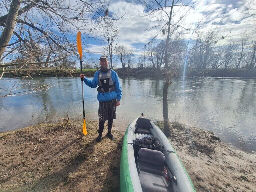
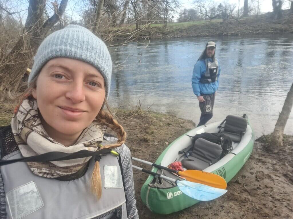
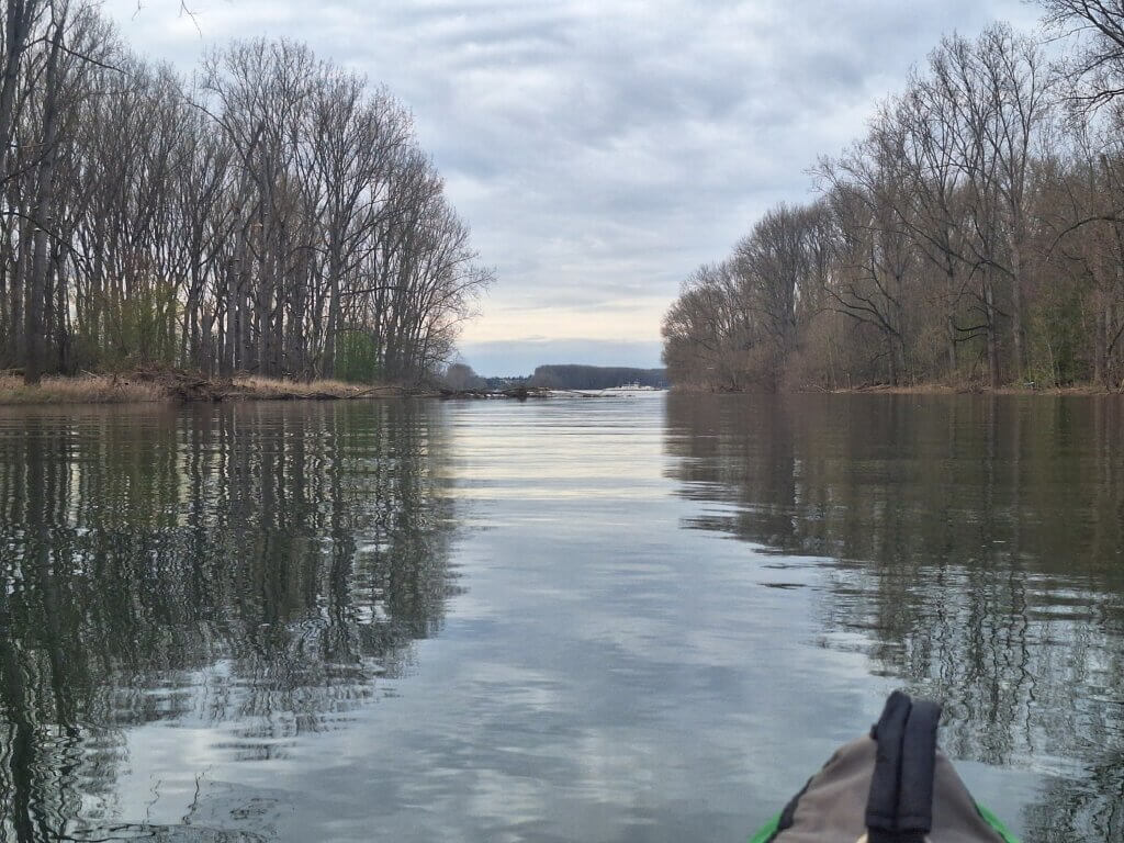
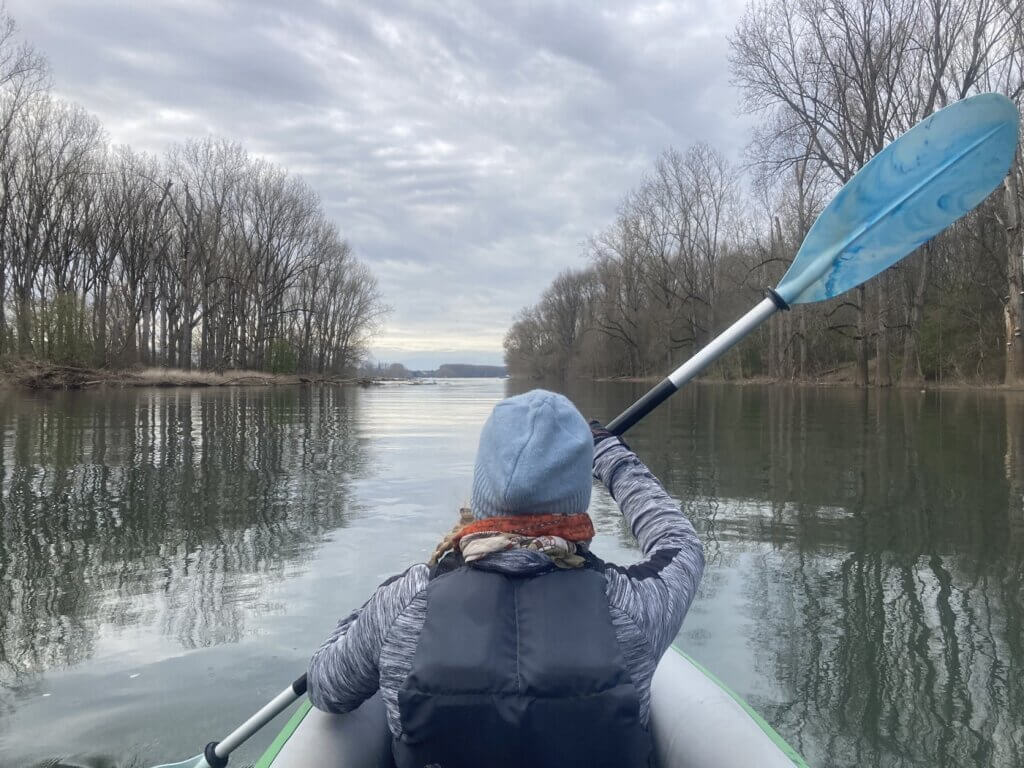
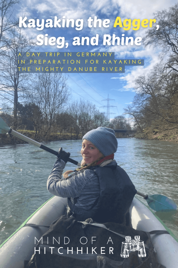
Pumping up the boat warmed me up, so I decided to take off my down jacket and just paddle in my sweater. I put on my life vest, put my phone in its waterproof case, and got ready to bring Zucchini down to the water line. Jonas carried the back of the boat and we put Zucchini in the water. He held it while I climbed in, which was so familiar and unfamiliar at the same time. I immediately noticed I had not installed my seat very well and had to deal with that rather soon. I held onto a root as Jonas hopped in the back of the boat, though I could not hold on much longer. And then I let go.
We almost immediately hit the tree branches behind us as we turned the boat around. We gathered some speed and I tried to adapt my seat angle. Within a minute, we were on the approach to the first rapids.
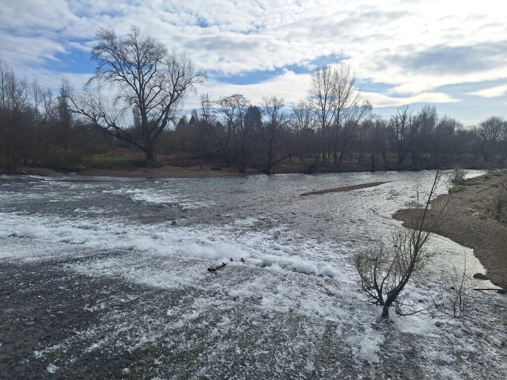
From the boat I could barely see the bit of flat water that’s the longest that I like to call ‘the tongue’. That’s usually what we aim for when going down rapids. We gathered speed. I missed a slightly calmer section to the right and left of some bubbly water and we passed right over it. I was having a lot of fun, but Jonas did say the lowest point of the boat touched the rocks below. Good thing we didn’t put in the fin.
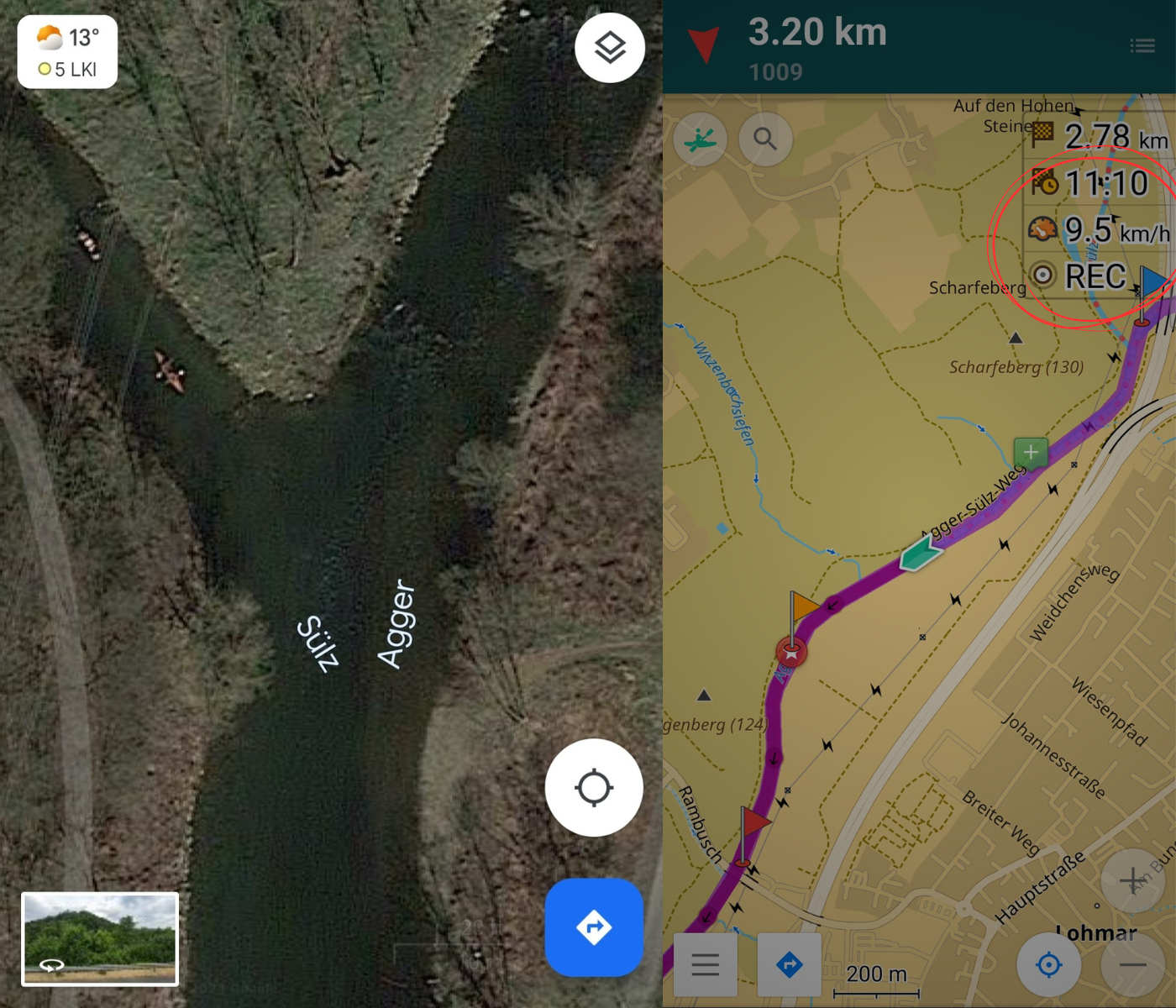
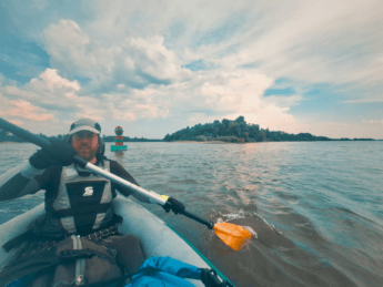
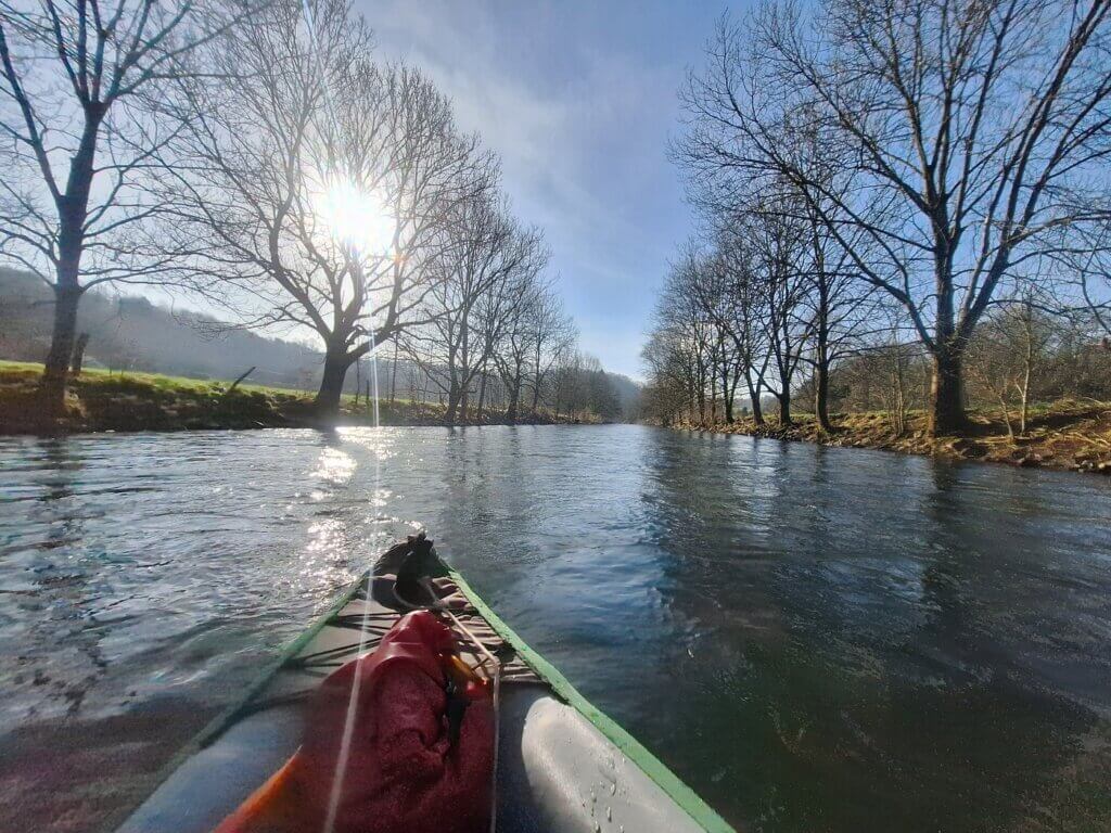
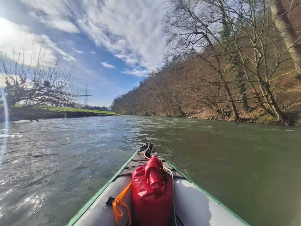
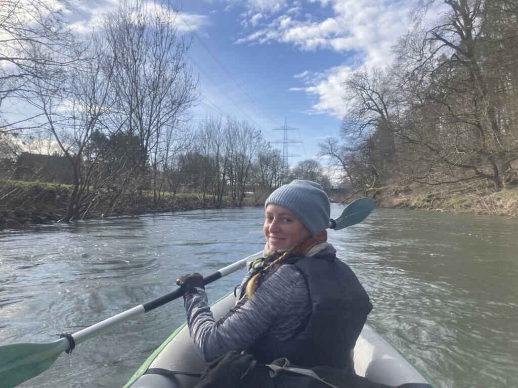
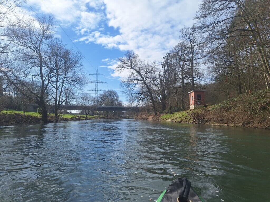
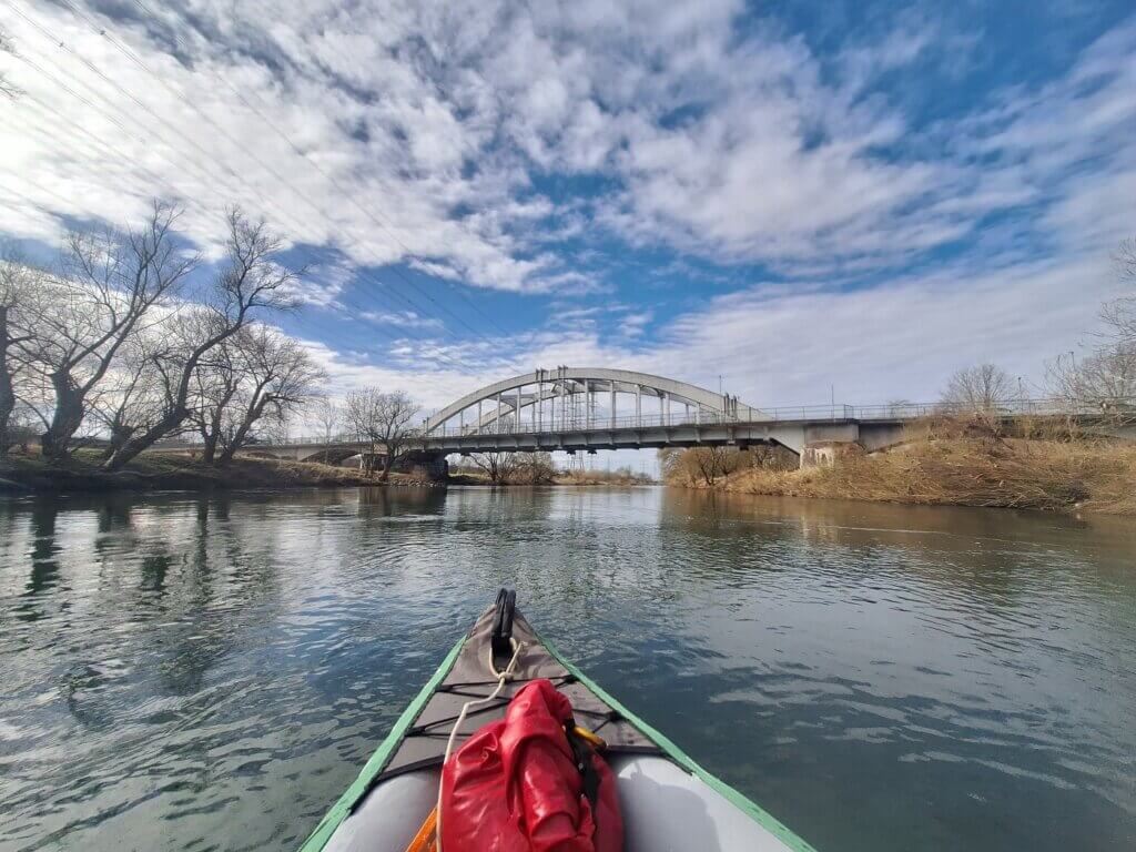
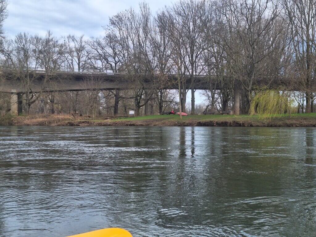
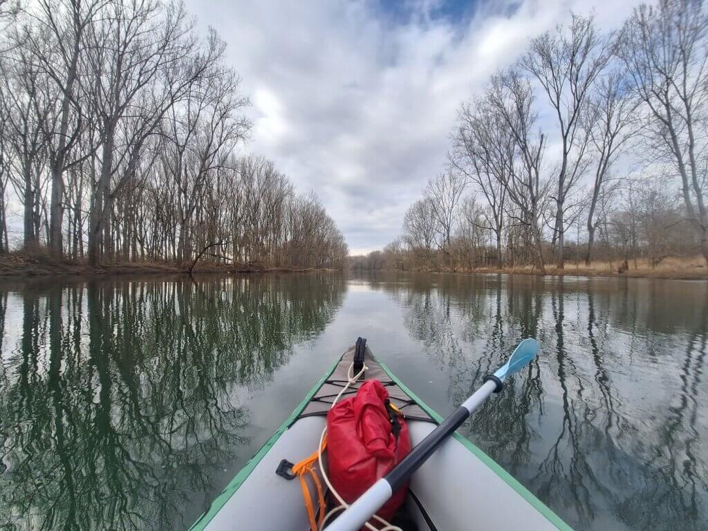
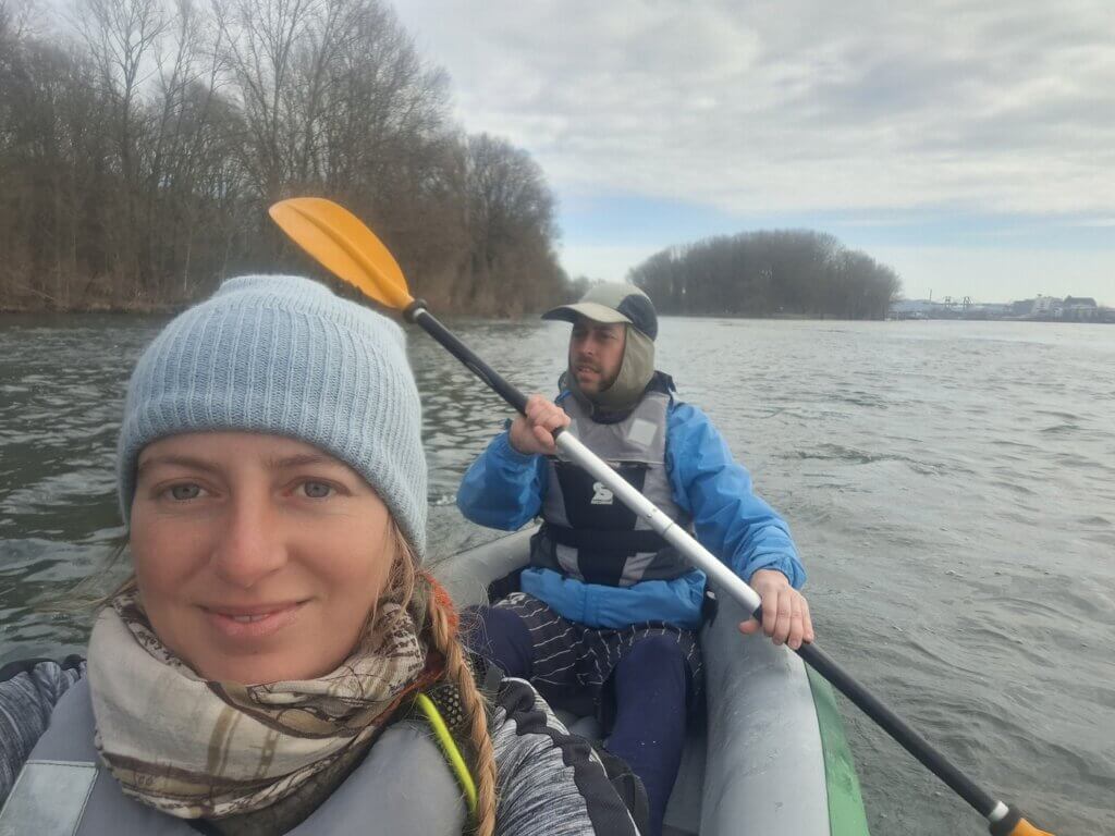
The journey down the Agger continued like this, with fast-flowing water guiding us from rapids to rapids through river bends, passing under bridges and past fallen trees. The river Sülz joined us from the right, which is where I’d seen fellow paddlers on satellite view during research. I was having so much fun despite my cold fingers. I filmed some sections by putting my phone vertically in my life vest to record my point of view. After that, we passed the first water level gauge.
Right-Left Maneuvers on the Agger
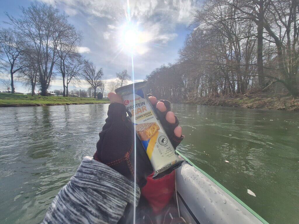
Things were going really well and we didn’t touch any rocks anymore. We were approaching what we thought was the right-left maneuver (coordinates: 50.82564° N, 7.19675° E). We quickly wolfed down a cookie dough protein bar we’d brought over from the Netherlands, the first thing we ate today. There were rapids too and the whole area looked a bit intimidating as the turns could hide anything. On top of that, fallen trees made the passages through very narrow and hard to aim for.
Sometimes we oversteered a bit and ended up in a whirlpool, which made things worse. It’s just annoying to paddle out of it, but not scary. Once we had to go left, we saw the dead arm of the Agger to the right. The calm water had many geese chilling in it, looking at our efforts to get through it with judgment.
On the other side, the water calmed down a bit. This section straightened out a bit. We were approaching something that I had mapped as a bit of rapids plus some stony beaches on the sides. Little did we know that this was (probably) the right-left (or left-right?) maneuver the internet Germans (River Gods) had written about (coordinates: 50.82145° N, 7.19257° E).
In an attempt not to hit the tree to to the right of the rapids, we decided to pass via the left. There we entered a whirl that almost completely turned our boat around. When paddling out with all our strength, we ended up in the powerful current that forced us all the way to the left. Not even all our paddling power stopped us from going through the branches of a tree that also had some kind of swing or basket hanging from it. I grabbed it with my hands and held us stable until Jonas paddled us forward, which helped us get out of it. Wow, this was very unexpected.
Though we weren’t in danger of flipping or anything, the loss of control over the steering of our Zucchini bruised our egos ever so slightly. Neither of us took damage. We both still had our eyes. These things are the reasons we need to practice again before returning to the Danube.
Portaging Around the Agger Weir
I had measured our speed on the Agger as being about 6 to 6.5 km/h without paddling and with paddling at a speedy 10 km/h. So the river is doing most of the work. Before we go on the slow middle Danube, we better build some arm strength.
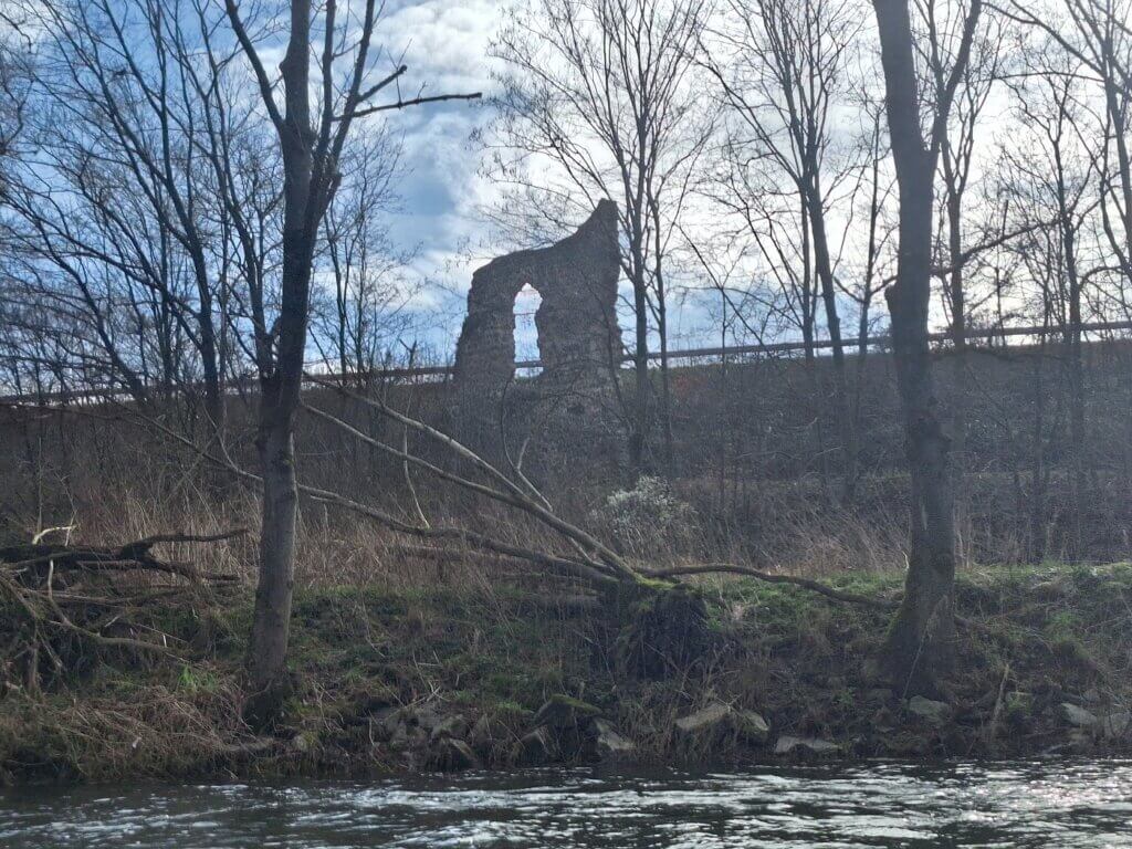
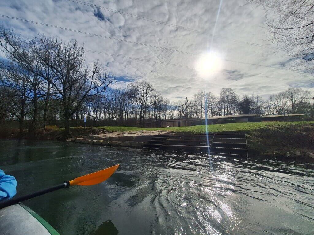
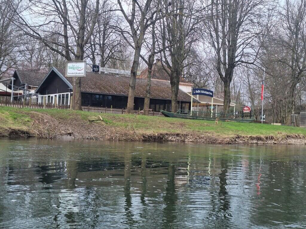
Speaking of slow rivers, the Agger was slowing down as we approached the weir between Troisdorf and Siegburg (coordinates: 50.80394° N, 7.17570° E). We paddled past ruin called Uhlrather Hof and a local canoe club called Delphin. It had very nice stairs to get in and out of the Agger. Too bad it didn’t make sense for us to take a break there.
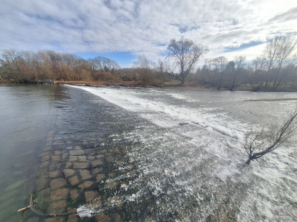
Though we didn’t have the fin, we didn’t want to go down the weir as per the internet instructions. Imagine if we puncture or rip open our dear Zucchini by doing something that stupid.
We first paddled to the jetty of the Biergarten on the right-hand side. I wanted to get out here and lift Zucchini over the fence that went around the entire jetty. Jonas voted against it and said we should paddle to the bit of shore where we could get out. This far from the weir is a very long distance to portage the boat, but we hadn’t found a later spot on satellite view and we don’t want to get too close to the weir.
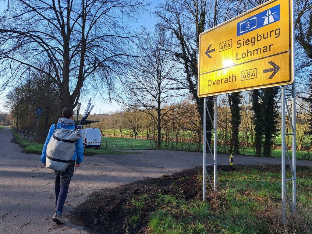
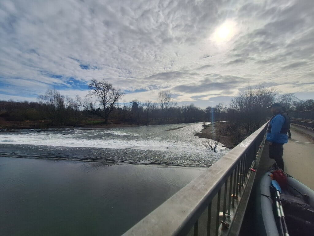
We carried the boat out of the water and began our long march via the bike/pedestrian path. It was heavy and I seemed to have forgotten how to do this. I also checked out one potential later spot to have gotten out of the boat, but it looked miserable for our large kayak. We eventually arrived on the bridge next to the weir, where we took a break to look at the water flow down the weir itself. It looked miserable and very dangerous for our boat. We would have slid over the bits of plastic that hold the fin in place and we might have destroyed that system. Also, there was a very large pointy tree stuck on the side of the weir I would have chosen to slide down based on satellite imagery. Thankfully, we slimply portaged.
On the other side, there was a path down to a pebble beach on the river. It must be so pleasant here in summer to cool down. We put the boat in the fast water and I got in first. Jonas hopped in second and I immediately started paddling us toward the calmer waters downstream and the confluence with the Sieg.
Agger Confluence with the Sieg + Testing our Camp Stove and Pot
The Sieg. It flows through Siegburg. That’s the river we usually referred to when talking about doing this trip in the years prior. But most of our paddling today is on the Agger, not the Sieg.
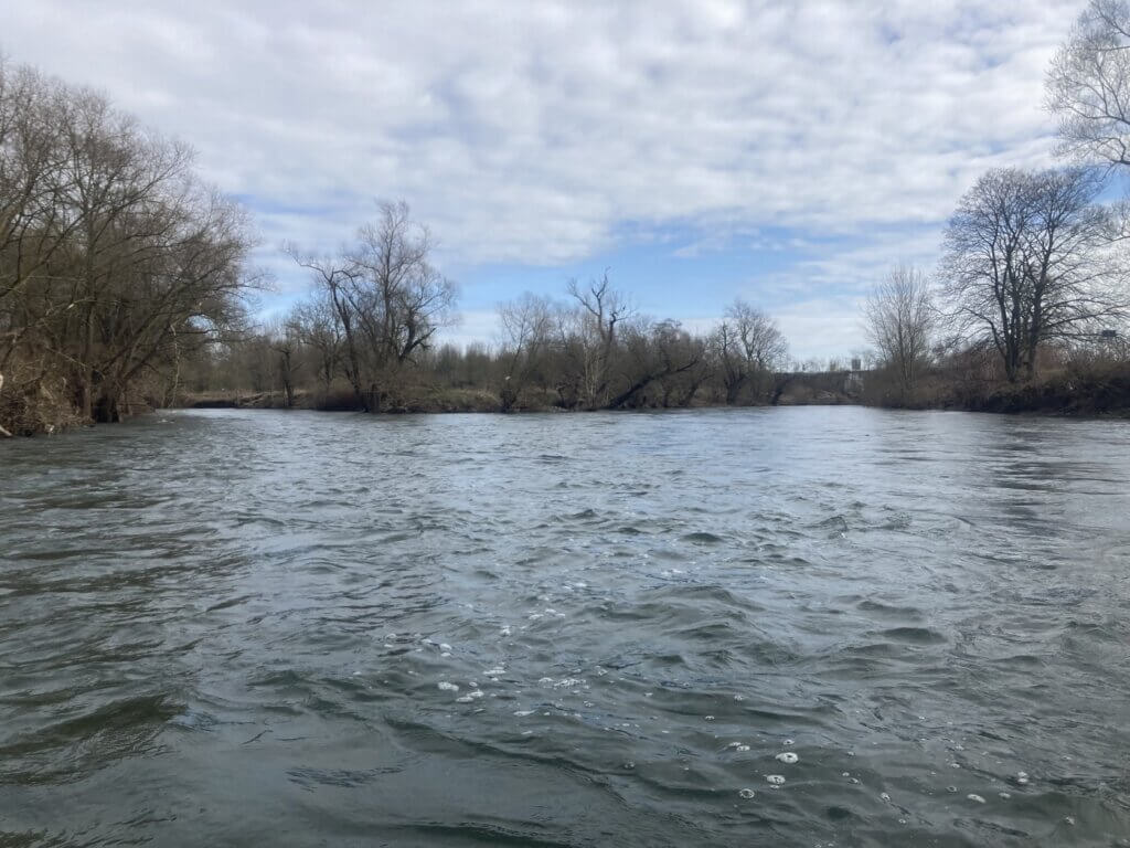
Confluences can have tricky currents – especially when one river has a much higher speed – so we expected some messy paddling. But there was no such thing. It was just one smooth transition from the smaller river to the bigger river. The Sieg was a bit faster than the Agger, but not in an overpowering way.
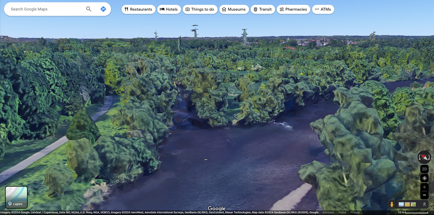
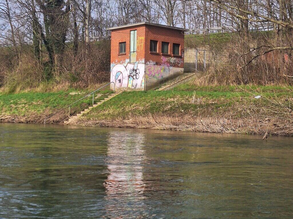
We soon passed another Pegelhäuschen (water level monitoring station) for the late Sieg. After that came a train bridge we’d been worried about since satellite view showed some kind of bridge maintenance structure in the river. But satellite imagery can be very old, so chances are it’s not there anymore. And it wasn’t.
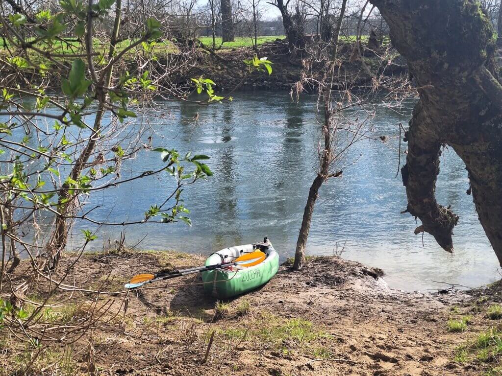
It was noon and we were hungry for something more than a protein bar, so we looked for places to land. Jonas found a spot on the right bank of the Sieg nearby the Sieglarer See. We spotted it late, so it took quite some effor to come to a halt and turn around, followed by paddling against the current. We landed, but the clay embankment was very slippery. So we pulled back out and beached the bow of Zucchini a little further on land by gaining more speed. Still, getting out of the boat was tricky for the both of us.
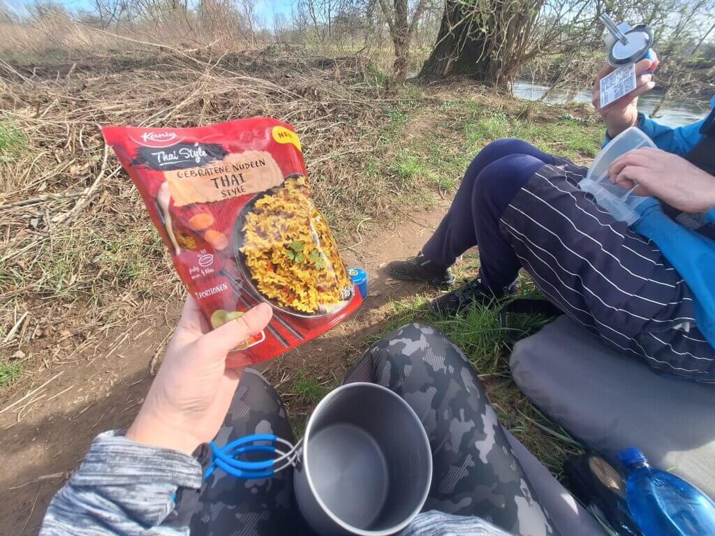
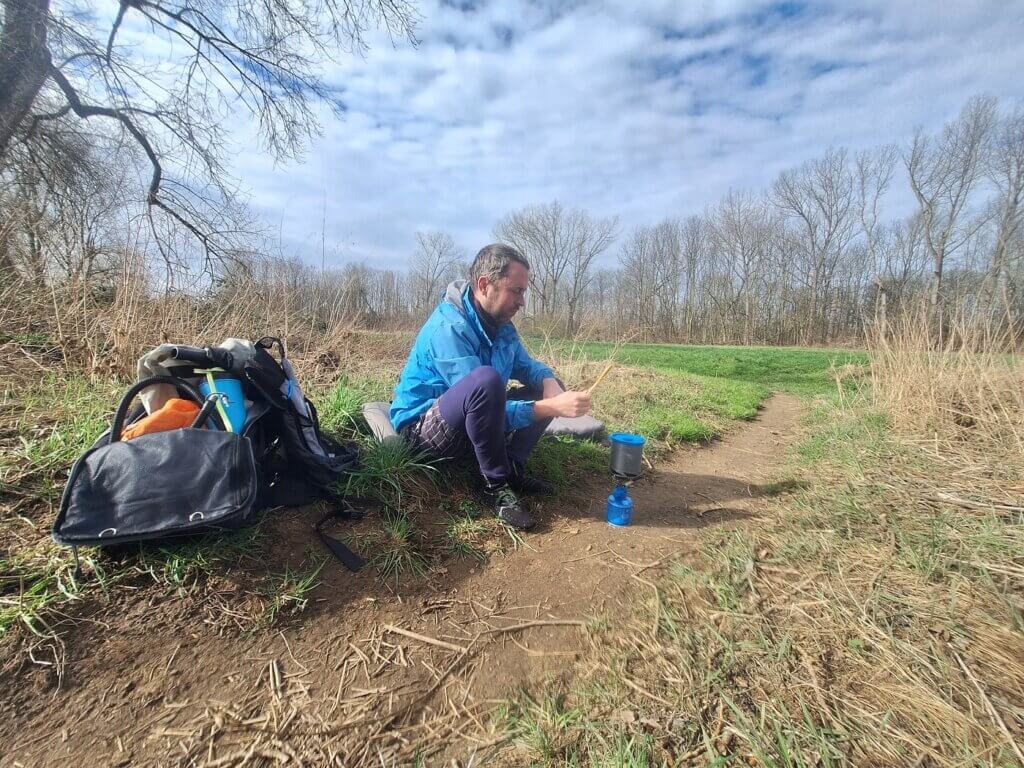
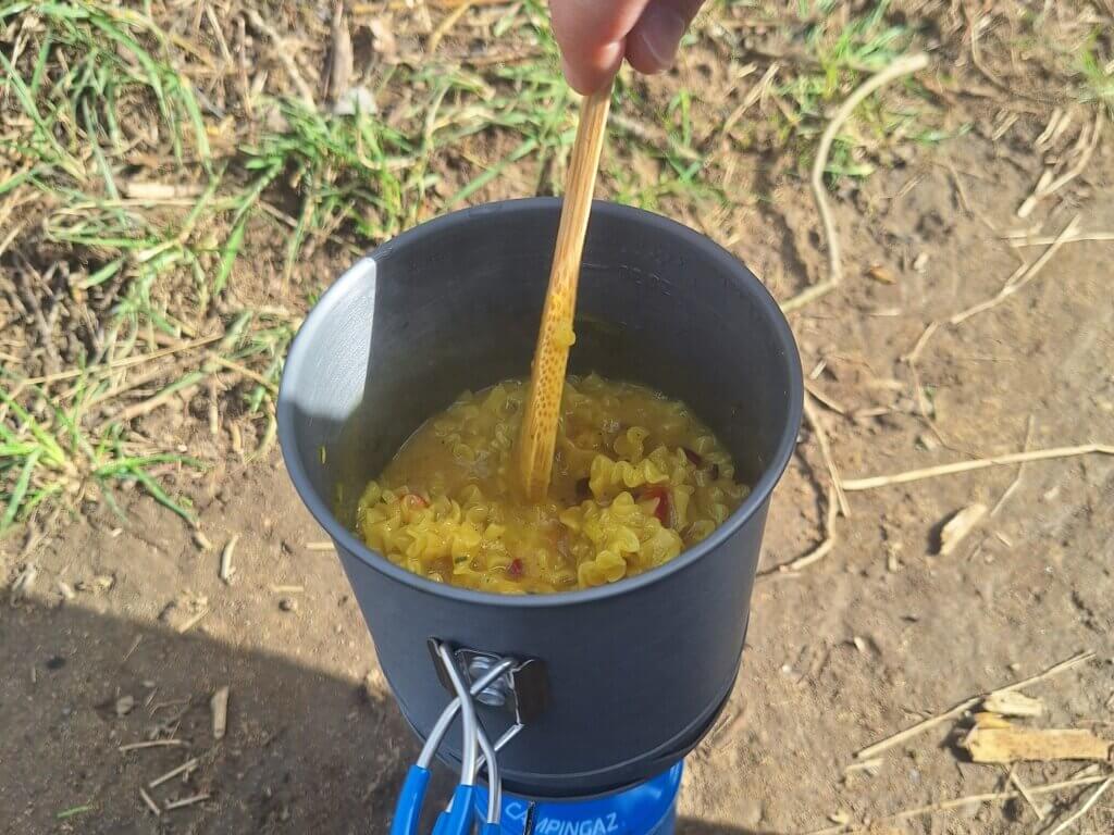
We brought our kayak seats on land to sit on while we tried out our new camp cooking stove and pot system. It’s based on the recommendation by some internet thruhikers. Though I loved our old pot system – which comes with plates, cups, cutlery, and a frying pan – from Decathlon, it was a bit too heavy and bulky for how little we used it on the kayak trip. Something small like we have now should work a lot better for our use cases. The only downside is that it uses freedumb units.
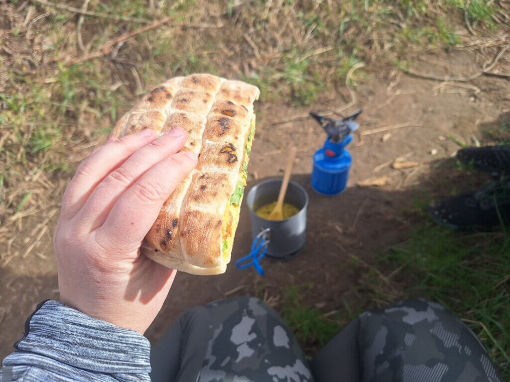
I put our spicy Thai pasta thing from Lidl in the pot and added water. Jonas figured out the gas thing with the burner. We cooked the pasta with the lid on for about six minutes. Jonas was googling some gas burning math to see how many times we could cook a meal like this with our gas cannister. About 18 times. I’m not sure if we’re going to use this 18 whole-ass times on the kayak trip.
Meanwhile, we chomped down on our Obazda, vegan ćevapčići, and rucola sandwich. Once the saucy pasta was done, it was truly a feast. Someone even lost control over their dog because Maxi came to us to ask me for a bite.
Putting some warm food or liquids in your body when you’re outside all day is something I’ve only really started to appreciate in the last year or so. Perhaps the Dutch Coastal Hike during the cold months played a role.
Afterward, we cleaned the pot a little. The fact that it causes dishes is also a vote against cooking on the kayak trip unless absolutely necessary. We packed everything up and returned to the boat.
Indicator Species of Spring + Sieg Reaction Ferry
Jonas got into the boat first and was kind enough to wash his muddy shoes in the Sieg waters before putting his feet in the boat. I hadn’t felt two toes on my right foot since a couple of hours, so I didn’t want to also get my feet wet. That meant that I dirtied my side of the boat a lot, which in hindsight was a mistake.
Though the forecast had promised 13°C in the days prior, it had been downgraded to 12°C before we got started today. And the real feel temperature was much less. In the end, our kayaking rule of “If it’s over 10°C we can paddle” only holds true if the wind chill doesn’t work against us.
Still, we weren’t the only ones out kayaking today. We spotted a guy in a red plastic kayak ahead of us for quite a while until he went down the rapids near the Meindorf football club. Quite some people had already spotted us from bridges, cycling parallel the rivers, or while walking their dogs. During a sunny spell, Jonas had pointed out that we’re probably an indicator species of commencing spring.
But now the clouds were closing in on us and the wind picked up. I felt quite cold, but we weren’t far from the confluence with the Rhine anymore. We just had to paddle past the Siegfähre, which is a small reaction ferry for pedestrians and cyclists. Though there was no operational ferry in the water, we did see that the guy in the red kayak had made this his final stop as he sat on a bench on the left bank, waiting for a ride back.
He wasn’t dealing with the Rhine and its heavy traffic. Are we going too far? Should we take the hint?
Sieg Confluence with the Rhine
But I really wanted to sample the Rhine, even if it’s just a very short distance. So we continued down the lower Sieg river until we spotted bridges and buildings across the majestic Rhine in Bonn. Do I smell another kayak trip in the making?
The Sieg makes a long, slow turn right. I had mapped a river island in this location based on the satellite imagery. But when I checked on GPS, we were on top of it and I couldn’t see any shallows.
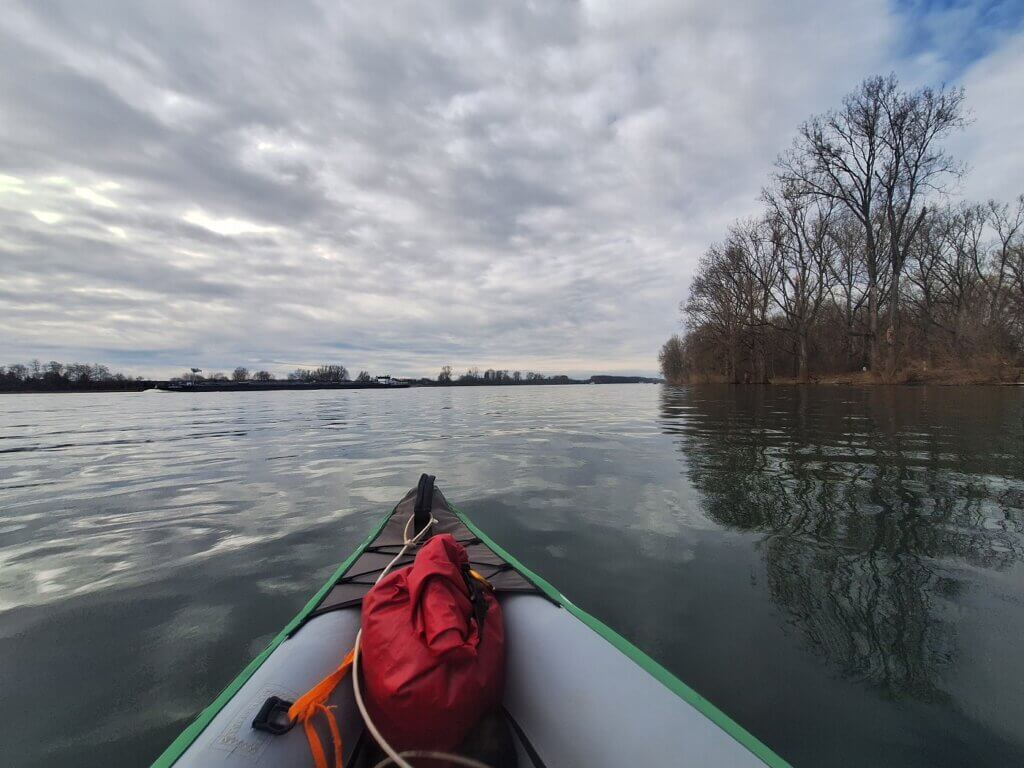
The Sieg had now come parallel to the Rhine. The flow had stopped and we were probably paddling in Rhine water that had flowed up. All water levels are currently a bit high.
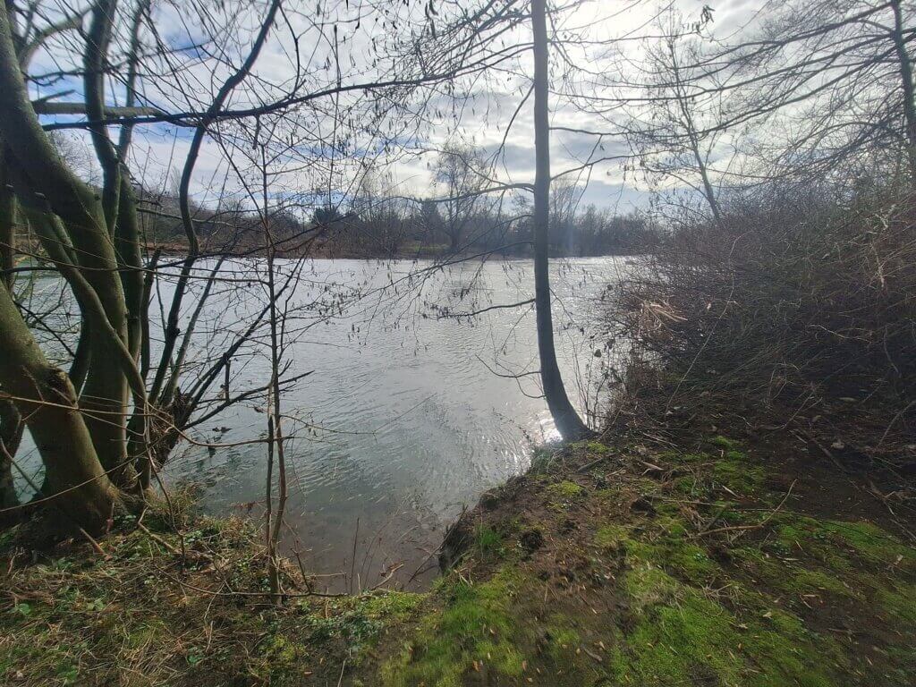
To our left is the forested land tongue that’s about two kilometers long. People were walking there. To our right was a tree popular with herons, as there were four of them flying off when we stole their peace. I’ve never seen more than one heron at a time. Speaking of birds, we’ve seen lots of ducks (mallards and mandarins), Canada geese, and even some owls in flight.
To our right is a forested floodplain area also suitable for hiking. There were also number signs here on the river bank, but I didn’t know what they meant.
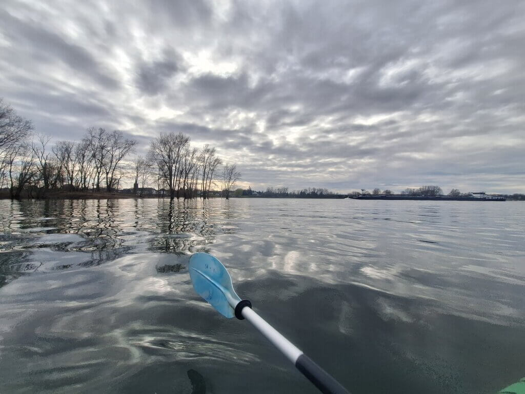
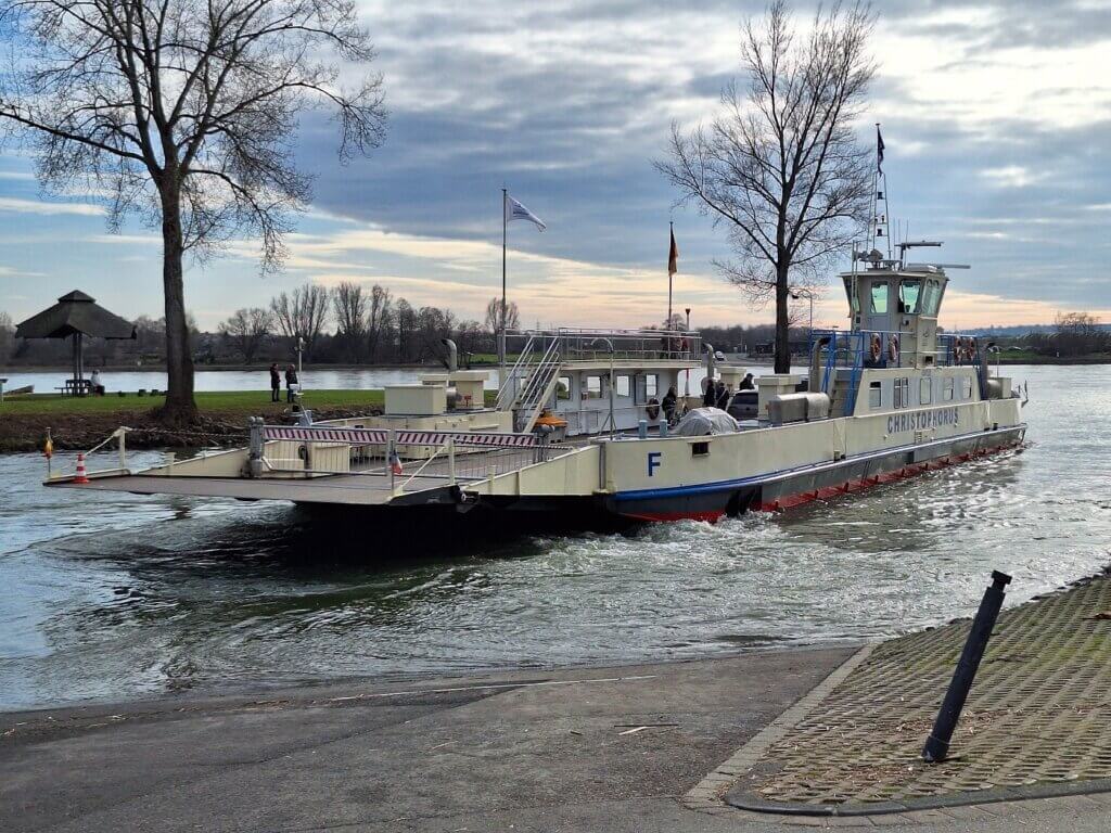
And there it was, the opening between the trees revealed the mighty Rhine river. We immediately spotted the Mondorf ferry that crosses the Rhine between Mondorf and the northwestern outskirts of Bonn. It’s for cars as well, so of course it operates year-round. There were also big inland shipping ships with containers and gas going up and down the Rhine at very different speeds. I think the current is going to be powerful.
It was time to pay attention. First, I’d mapped a suggested exit point in an old branch of the Sieg called Diescholl, next to another one called Oberste Fahr. There’s an old Dutch-style eel fishing ship called Maria Theresia anchored there as a historical piece. For that, we would have to paddle under a very shallow bridge with a water barrier or portage around it. Anyway, that route would have left us not paddling the Rhine, so we’d dismissed this route the day before.
We continued paddling until we could see the faster flowing Rhine to our left. I’m really happy we’re not crossing the river today, because it’s busy. To our right was a no-entry sign for the large shipping ships. I was just wondering how inland ship captains don’t accidentally sail up the Sieg at night. That’s probably how.
Kilometer signs of the Rhine were to our right, but I didn’t have much time to read them and analyze them, because we were soon already leaving the Rhine. Just one kilometer down this flow. The part where the flowing waters of the Sieg and Rhine meet wasn’t particularly messy to cross. In the end, there was no reason to fear this confluence.
Fun geography fact: the confluence of the Sieg and the Rhine is also where the Middle Rhine becomes the Lower Rhine. From here until the delta in the Netherlands, it’s just a big wide river with lots of ship traffic. Upstream from here, there’s some beautiful sections near Koblenz that we’d visited in 2023.
I looked behind us and saw some mountains in the distance. Jonas says that’s the Siebengebirge where the Drachenfels castle ruins are at.
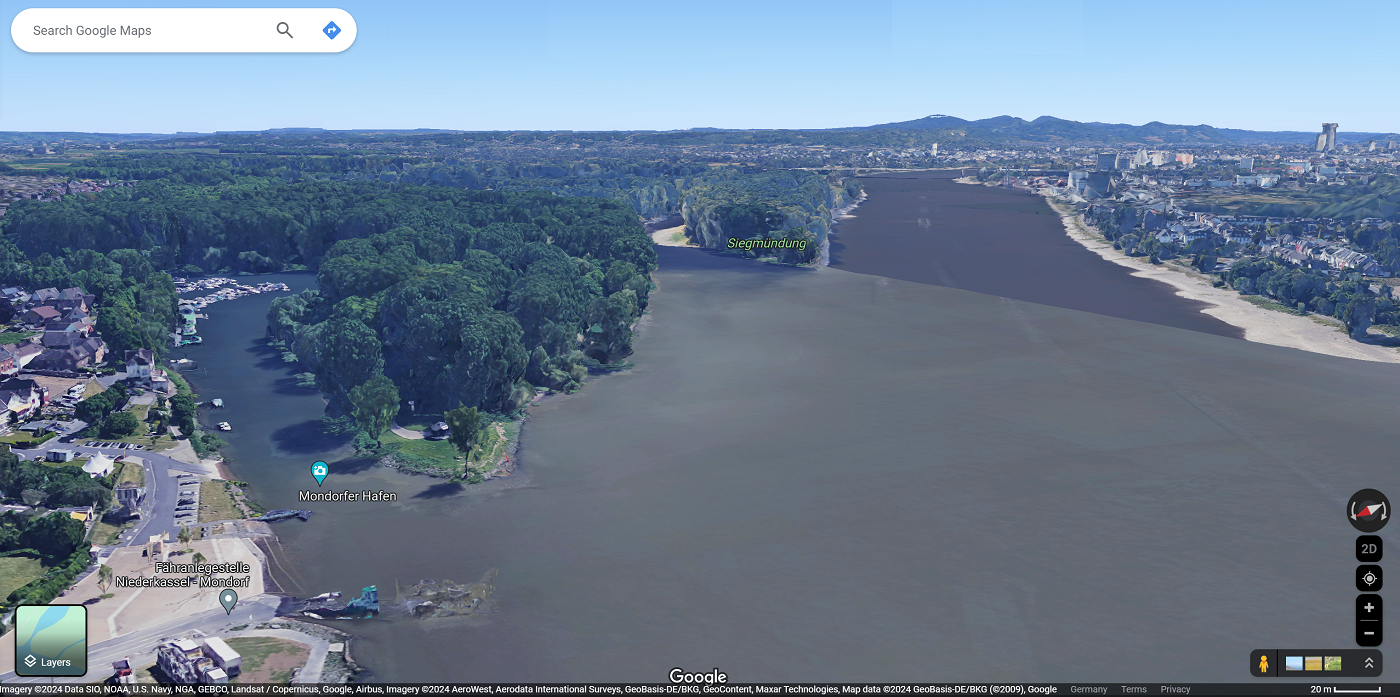
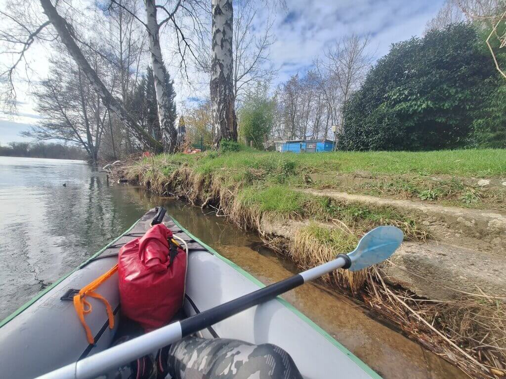
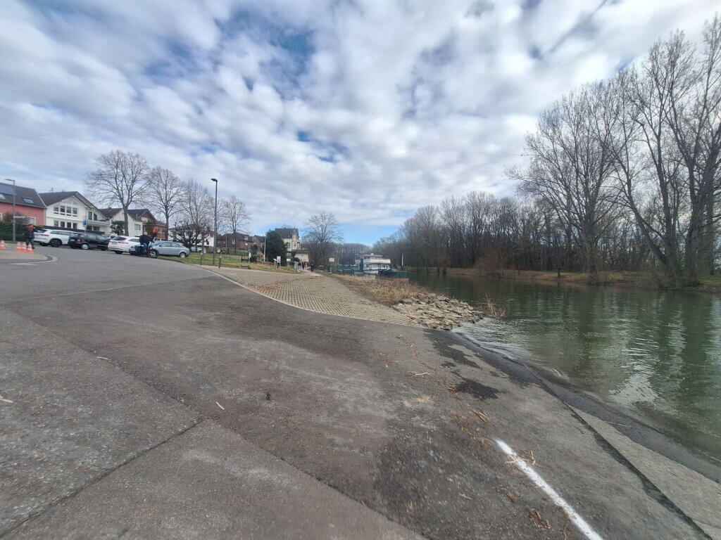
The ferry was in the middle of the river going to the left bank. We paddled into the yacht club area. Jonas didn’t want to take this turn too wide in case there are weird currents. I thought weird currents should be minimal here since the harbor area doesn’t have its own flow. We paddled in and saw the asphalt slipway that was our exit.
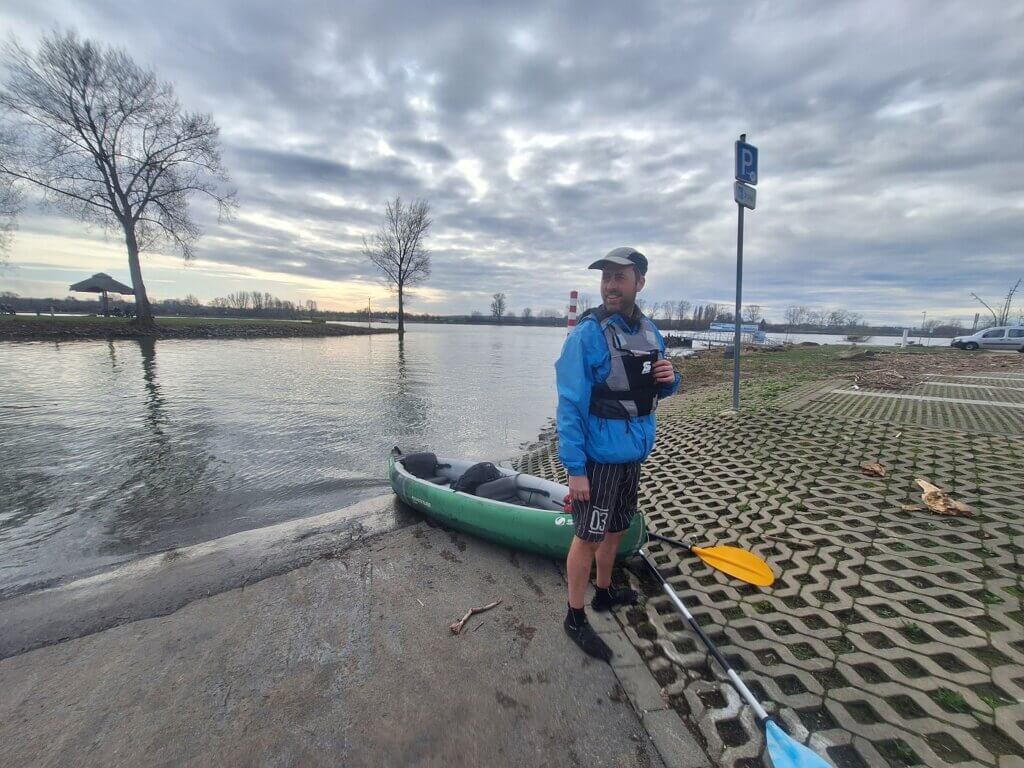
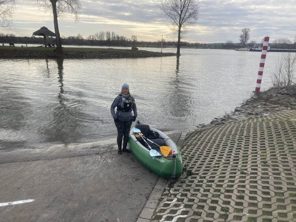
We gathered some speed and we beached the bow on the asphalt as far as we could. I got out of the boat. The slipway was quite steep, but thankfully not very slippery. I pulled Zucchini further up and helped Jonas out. Yay! We made it!
Repacking Zucchini + Traveling Back to the Agger
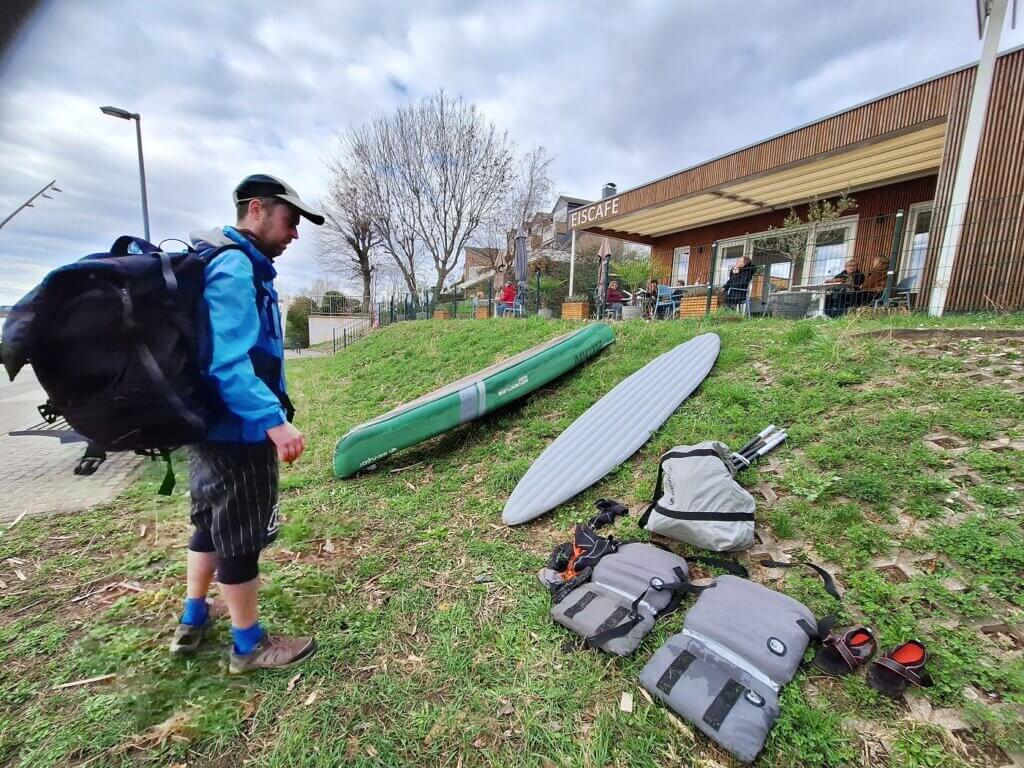
Jonas went to check out the ice cream café + mini golf where we intended to have a drink while I casually pulled out the boat and started tidying things up. The café was open. We carried the boat further on land and then saw that the returning ferry was using the same slipway as we did instead of the mapped one further downstream. Damn, we even had excellent timing.
I think the ferry wasn’t using its usual spot because the Rhine looked kind of high. Some benches near the other ferry slipway were flooded.
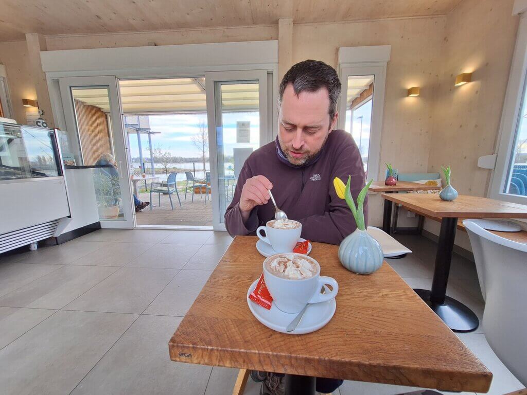
Down at the café were some benches that we used for drying off our feet and putting on land shoes. We held Zucchini upside down to get the water out. More than expected, but still not that much. We pulled out the inflatable bottom of our boat to let it dry in the air. Then we grabbed our loose stuff and sat down inside the café for a hot chocolate milk. It was very busy with a lot of loyal customers who all knew the guy by name. We contemplated getting a Spaghettieis, but ultimately decided against it.
Slowly, I regained feelings in my toes. And then it was time to pack up the rather dirty boat.
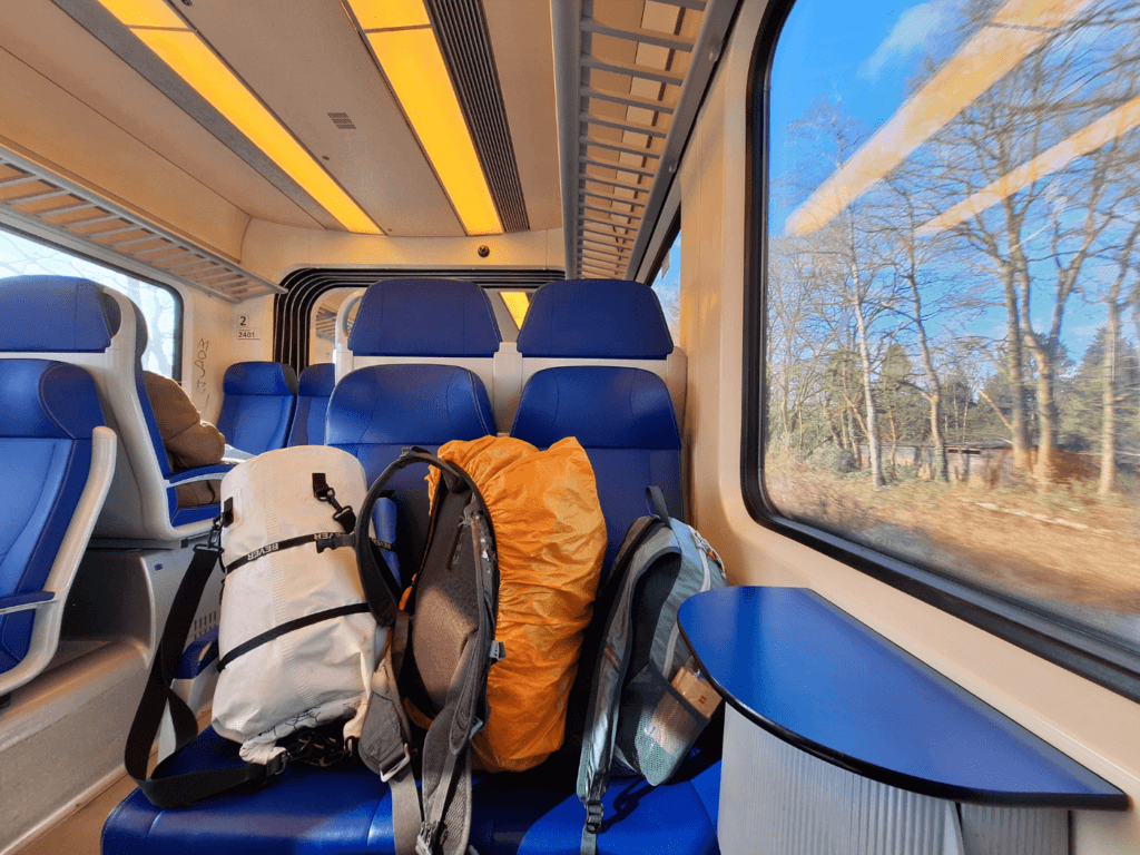
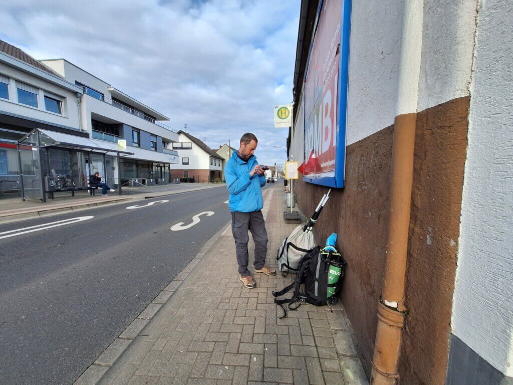
It went a lot better than last time. Jonas managed to fit all four corners in the backpack. We packed up the rest of our items in the big duffel bag and walked to the bus stop. I met a tuxedo cat whose snoot touched my finger twice, but he remained unpetted otherwise. Bus 501 to Siegburg. Then Bus 557 back to our area along the Agger. It sounds simple, but it took multiple hours riding the articulated buses in the afternoon traffic. Crazy to think we’ve paddled all this today.
Down the hill, Jonas’ mom and her dog picked us up. Thankfully, we didn’t have to walk up the hill as well with our heavy gear.
At home, we unpacked Zucchini to let her dry out some more during the next day’s sunny spells. I washed out the water shoes and neoprene socks. Jonas cleaned out our cooking utensils. The next day, we cleaned Zucchini and packed her for her big journey to Ljubljana in Slovenia.
She passed her river trials with flying colors.
Map of Kayaking the Agger, Sieg, and Rhine + Tips
Here is a detailed paddling map of the route we did down the Agger, Sieg, and Rhine. There’s also info about the places we got in and out of our kayak, where the weir is, and how we portaged around it. Zoom in or out for more details and you can use the menu button in the top left to make the rapids (dis)appear. In total, it was 22.3 kilometers and 4 hours and 18 minutes. Minus the portaging time and the lunch stop, it was 2 hours and 59 minutes. That makes the average speed on the Agger 7.5km/h.
Know before you go: you’re only allowed to paddle the Agger when there’s enough water in the river. It dries out a lot more in summer. For recent water levels, check out this website and look for the Pegels in Overath and Lohmar. A different website has info for the Pegel on the Sieg in Menden. And here is the Pegel in Bonn, just for good measure. What are good water levels, you ask? As long as it’s normal water levels (green) or higher, it’s allowed to paddle the Agger and Sieg.
Wish to support my blog? Consider buying me a saucy pasta










I am a cycle tourist, there is definately similarities with cycling, so want to cycle the danube to turkey. Sure its a bit different to kayak – i also prefer camping as much as i can manage it – just nice to be away from the world and technology for a bit!
I have used a alcohol stove for years, made it out of a beer can every few months, it works amazing pretty light weight too! (look up on youtube) Not sure what i do when in east europe again as liquid alcohol harder to get hold of, – I am really happy you mention disability as im autistic and spent years working out how to cycle with my sensory needs: seeking and sensitivies. In addition i have chronic health condition linked to it, that flairs up every few weeks so adventures take a lot of planning!. I could not cope with how nomadic you are, but i like doing trips every few weeks for month or 2! i am starting a blog on it, as nothing out there about cycle touring and travel together while being autistic.
Hey Beth, that’s really cool that you want to cycle the Danube and camp a lot along the way. I’ve made alcohol stoves before and I never found the right fuel in southern Europe or South America, so I stopped using them as it became very frustrating. I hope you’ll have a fun trip and things will go well health-wise.
Happy blogging and may the road treat you well!