")


—Wonder of the Burmese")


")


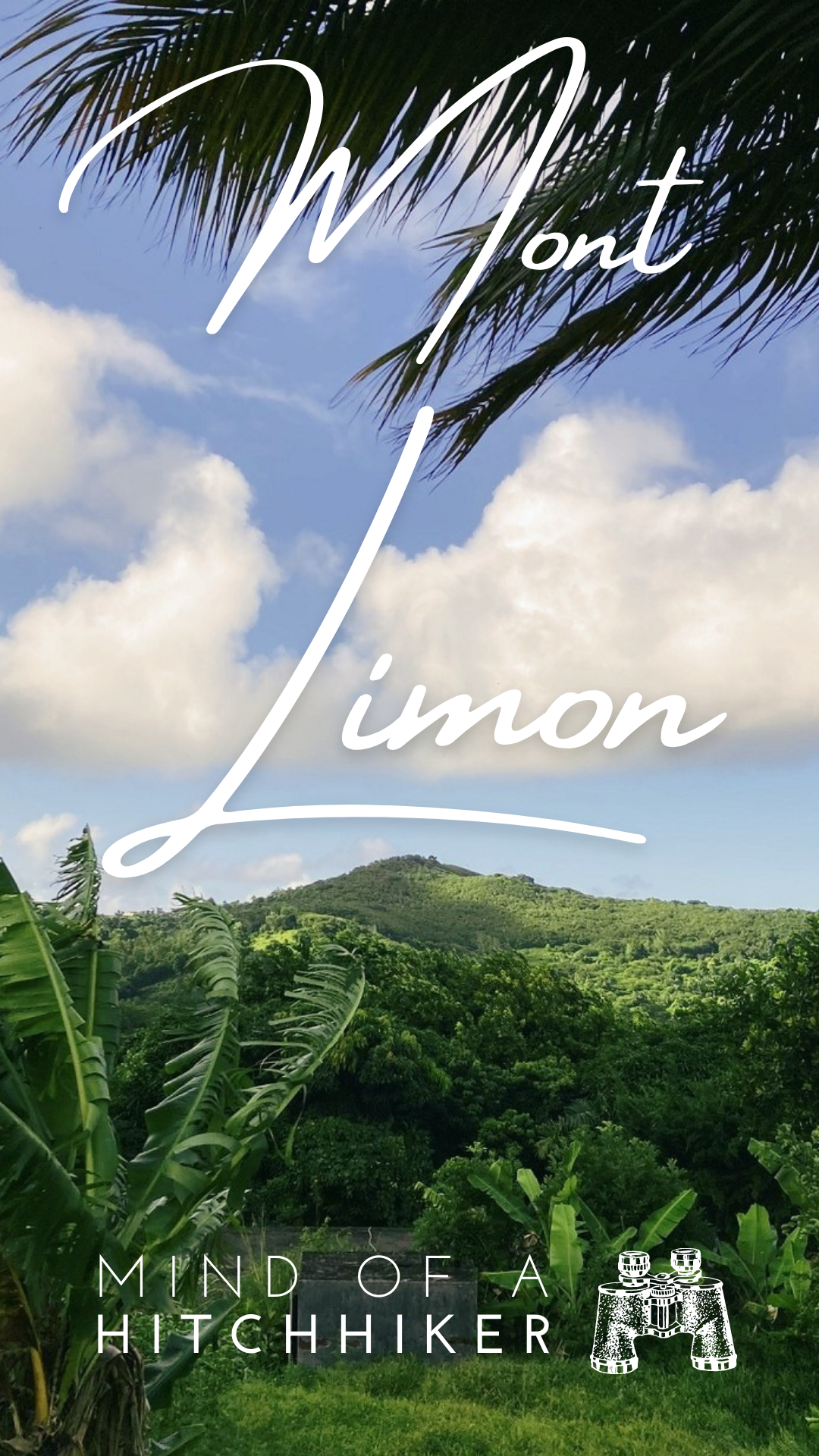
We hiked up the peak of Mont Limon on Friday the 15th of April and the 7th of June, 2022. It’s not an impressive feat, but I thought I’d share some pictures anyway.
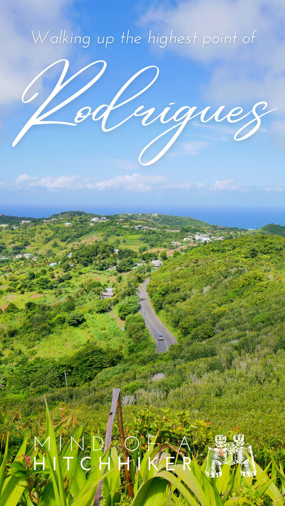
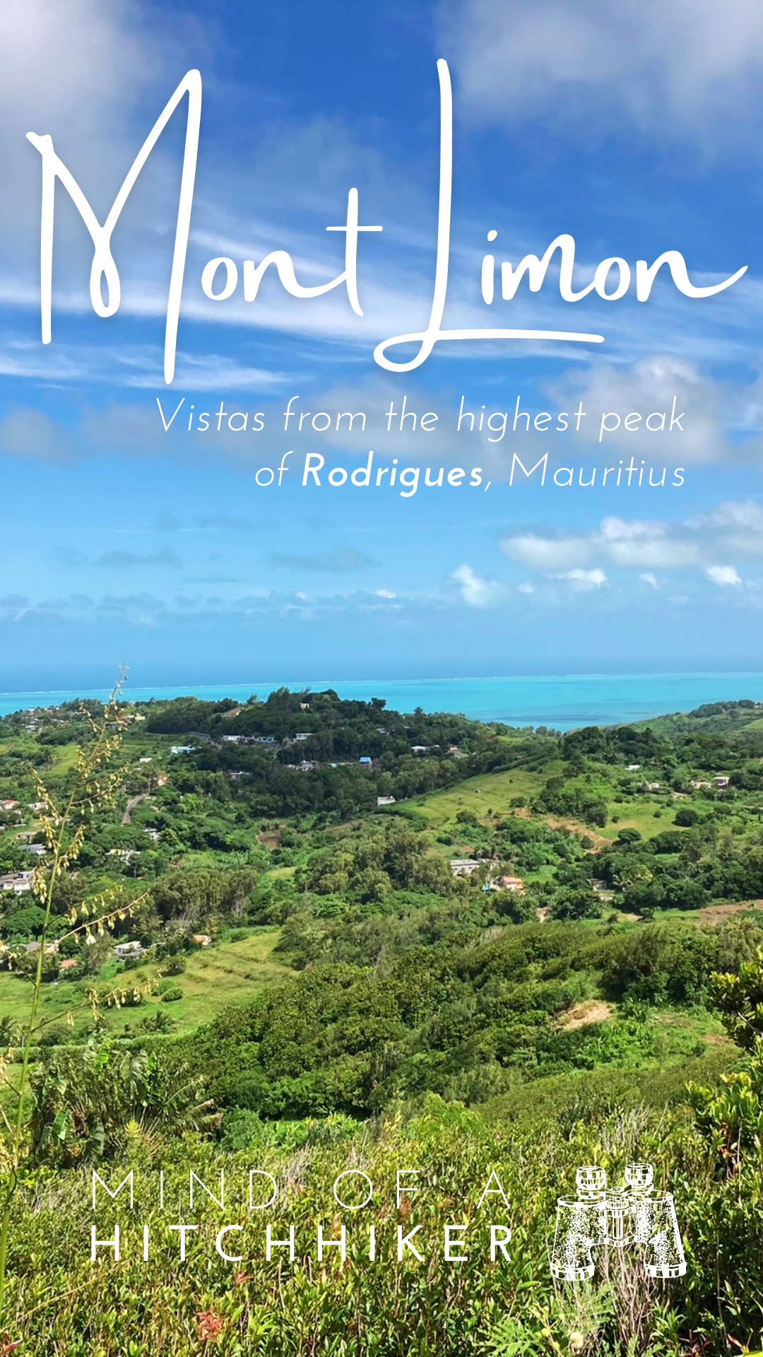
Rodrigues Island Highest Point
I already knew for a long time that I wanted to travel to Rodrigues in Mauritius and visit the highest peak. On the only usable map of Rodrigues – OpenStreetMaps – it showed that there’s a big road next to the peak called ‘Mont Limon’ and some stairs up that later become a trail. No big deal. Close to the peak is a viewpoint and a trail that goes down on the other side. All in all, I knew it would be a short stroll, an easy peak to bag.
 Satellite view of Rodrigues, its massive lagoon, and Mont Limon
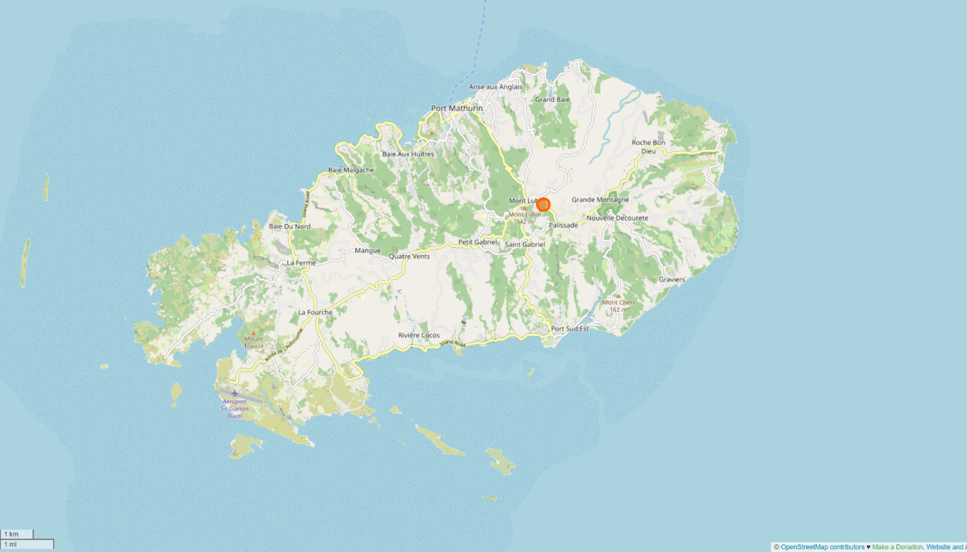 Map view of Rodrigues and the location of the highest peak
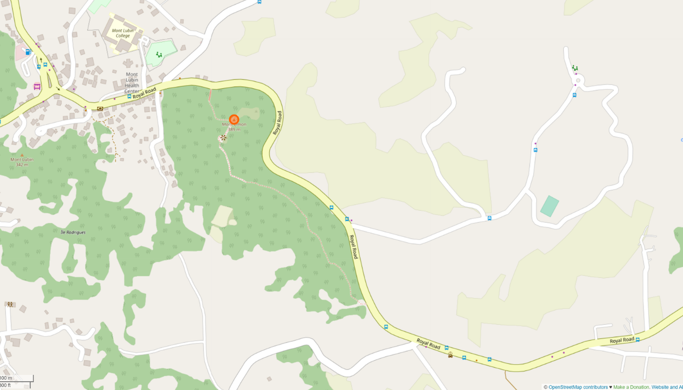 Trail to Mont Limon
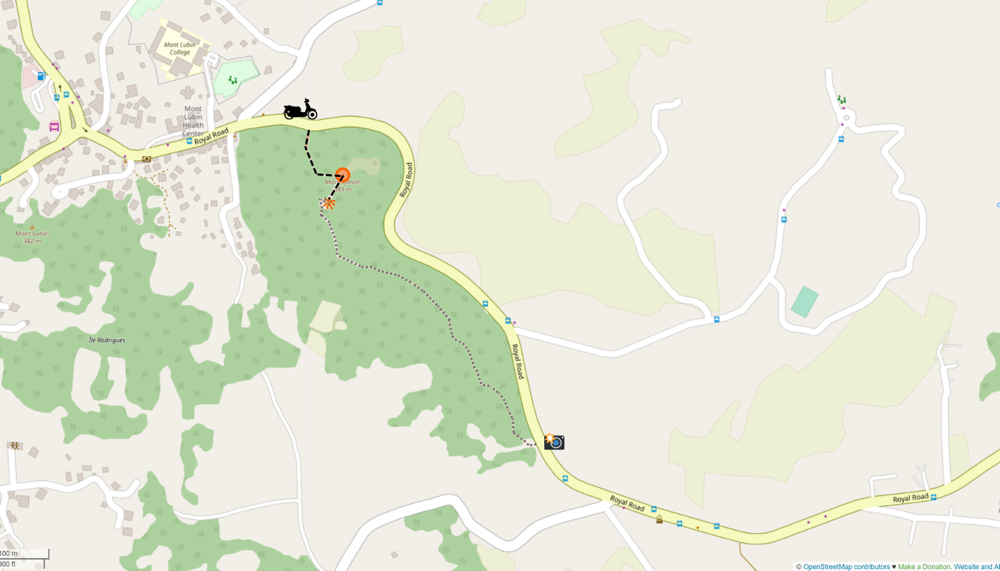 How we hiked out and back plus scooter parking. The alternative ascent starts at the camera icon
The opinions seem to differ on how tall the mountain is. I’ve read 392 meters above sea level, 389m, and 398 in various sources. The local paper map we received from our host here pinpoints this extreme point at a specific 389.3 masl.
Walking Up Mont Limon
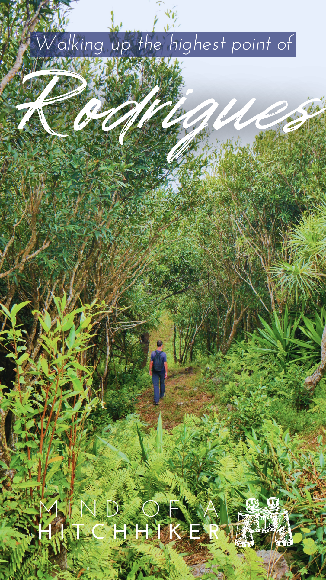
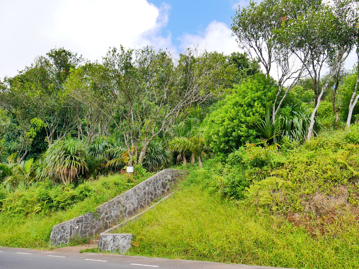
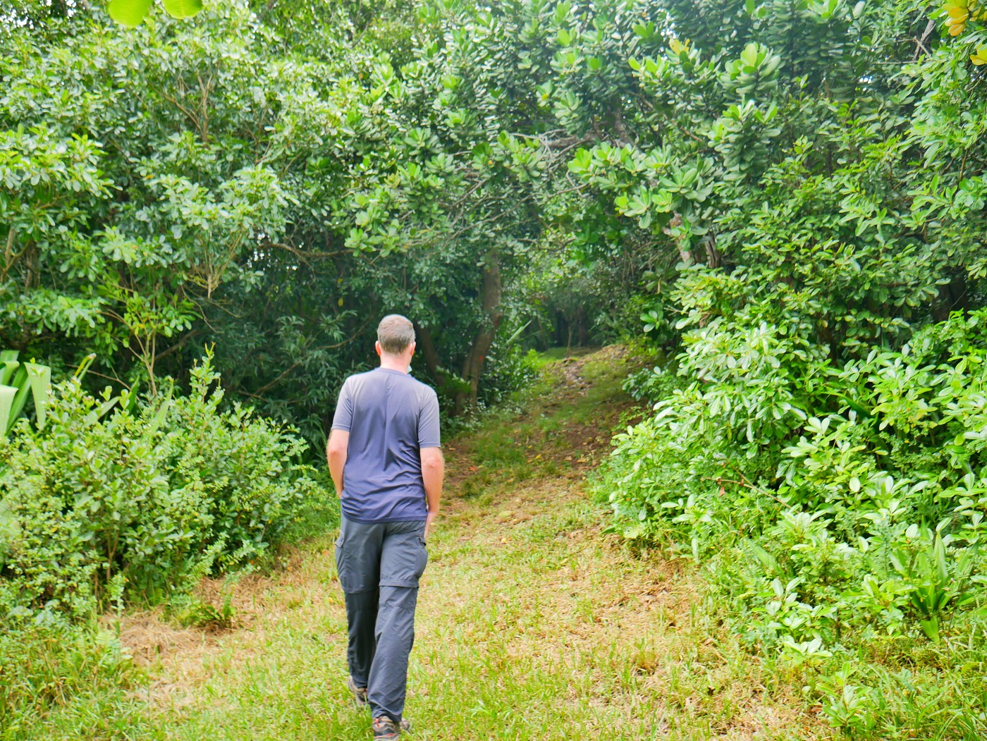
On the first day we received our rental scooter, we drove to Mont Lubin. From Port Mathurin, that’s quite a steep climb. Our main target for this day was visiting the southeast coast of Rodrigues. When we drove toward the stairs to Mont Limon, I asked Jonas if he wanted to make a quick stop to hike to the highest peak. I showed him it was really no big deal. From the road, the ascent is only 13 meters up over 140 meters distance —a sidequest if ever I saw one.
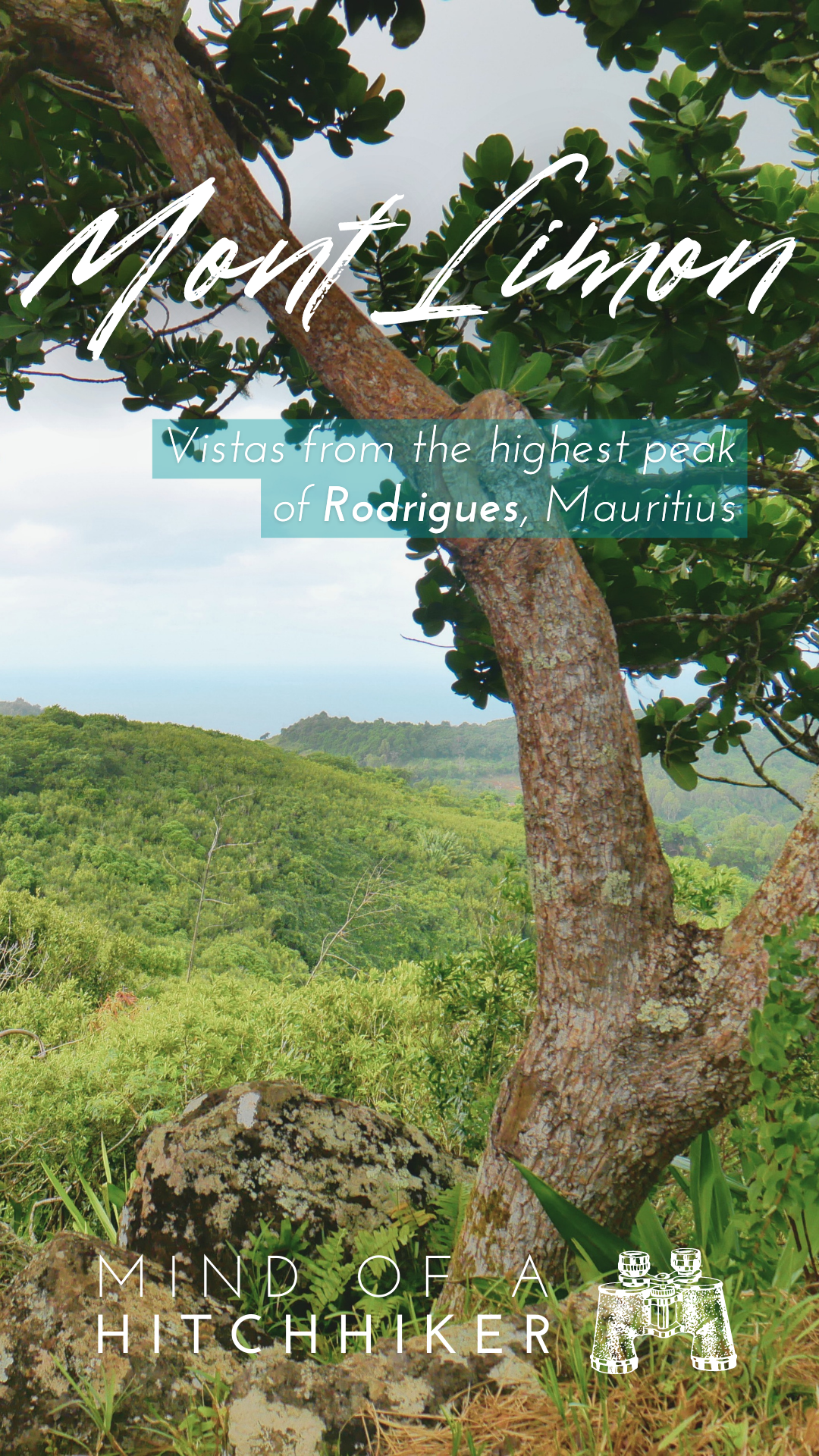
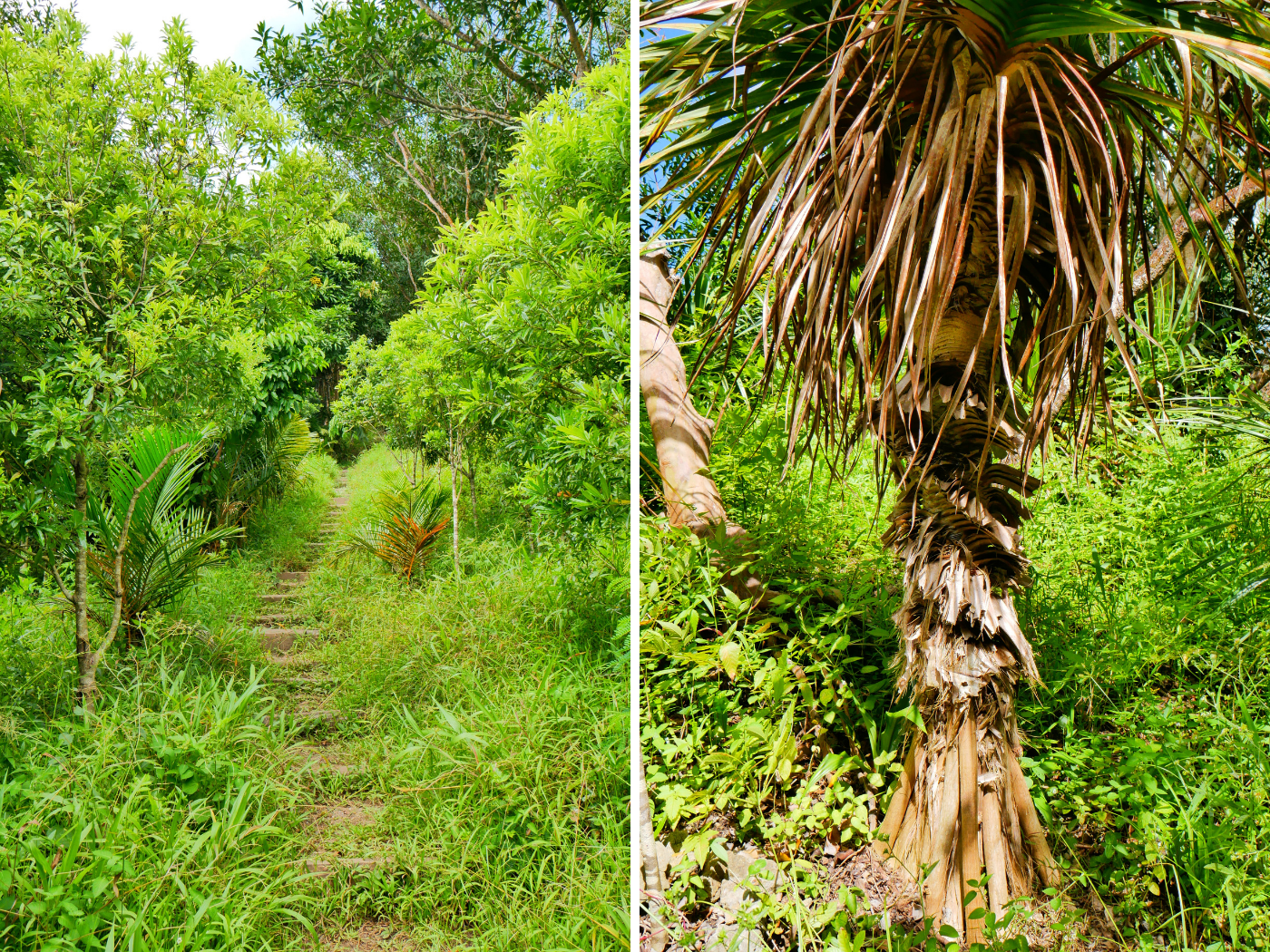
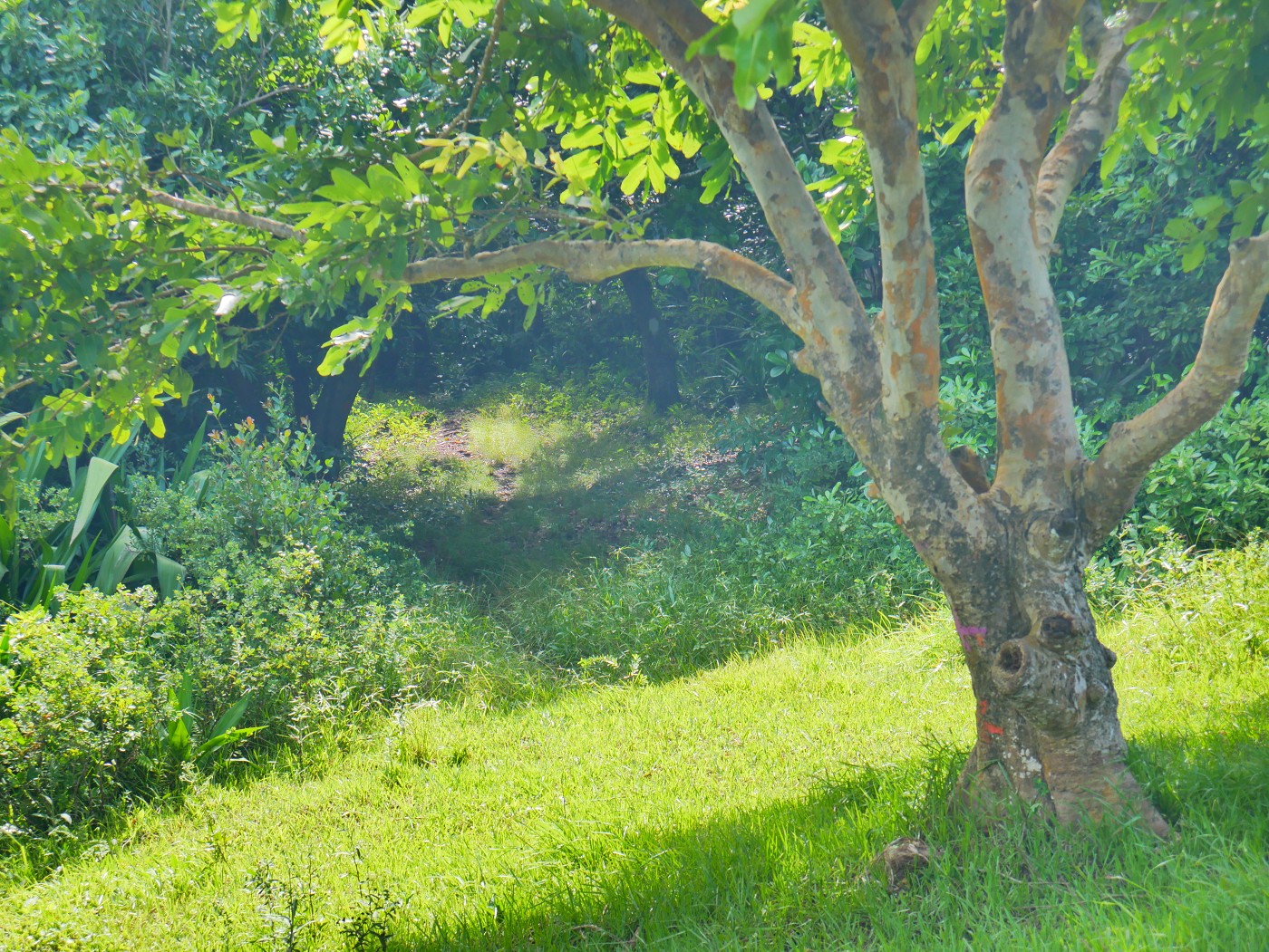
We parked the scooter and began the ascent. At first, the stairs are made of concrete, but this lasts for not even four meters. Then the stairs became wooden/dirt stairs before it turned into a trail. There are some pretty trees on Mont Limon with a kind of double helix trunk and a thick broom of roots.
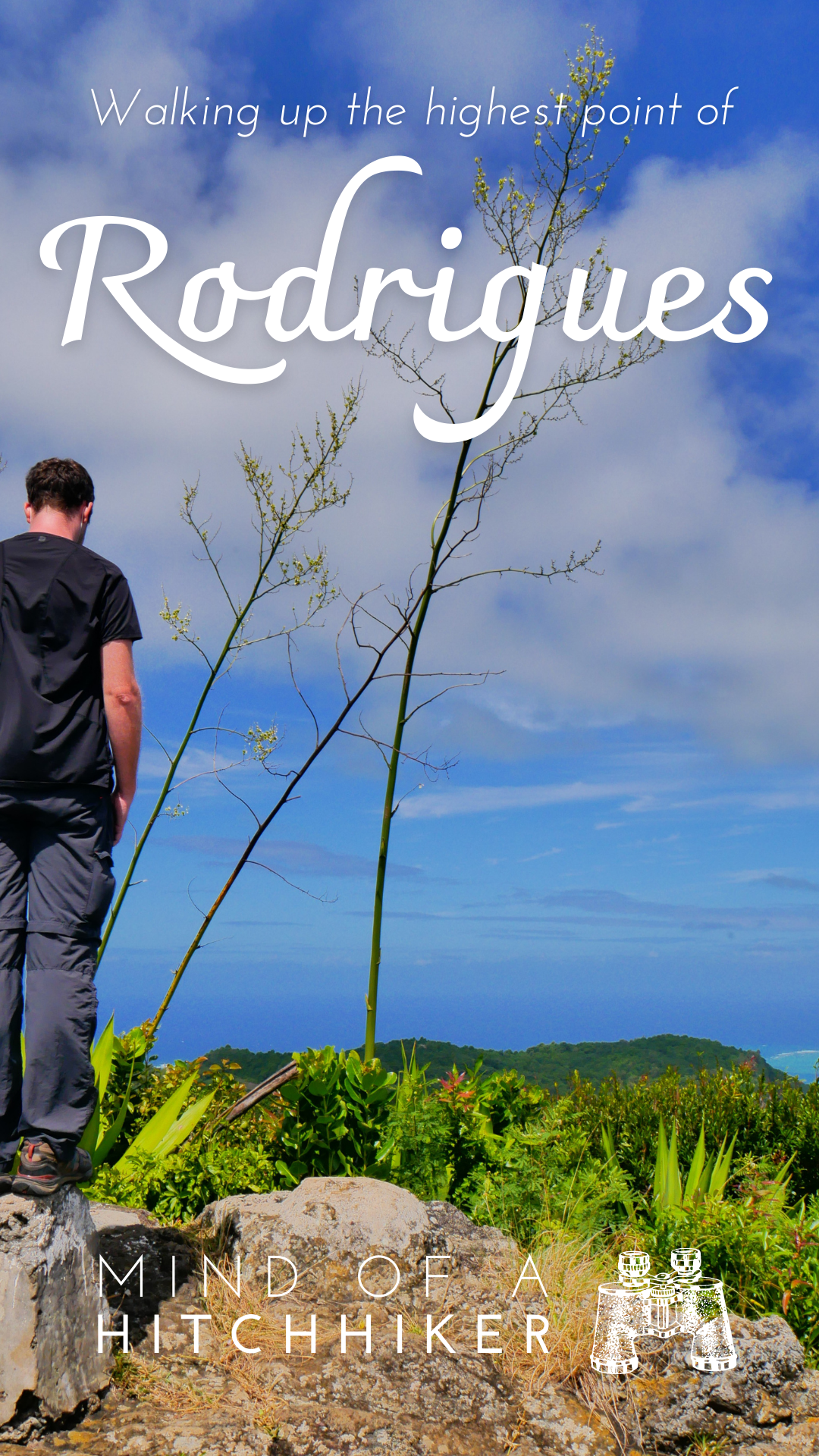
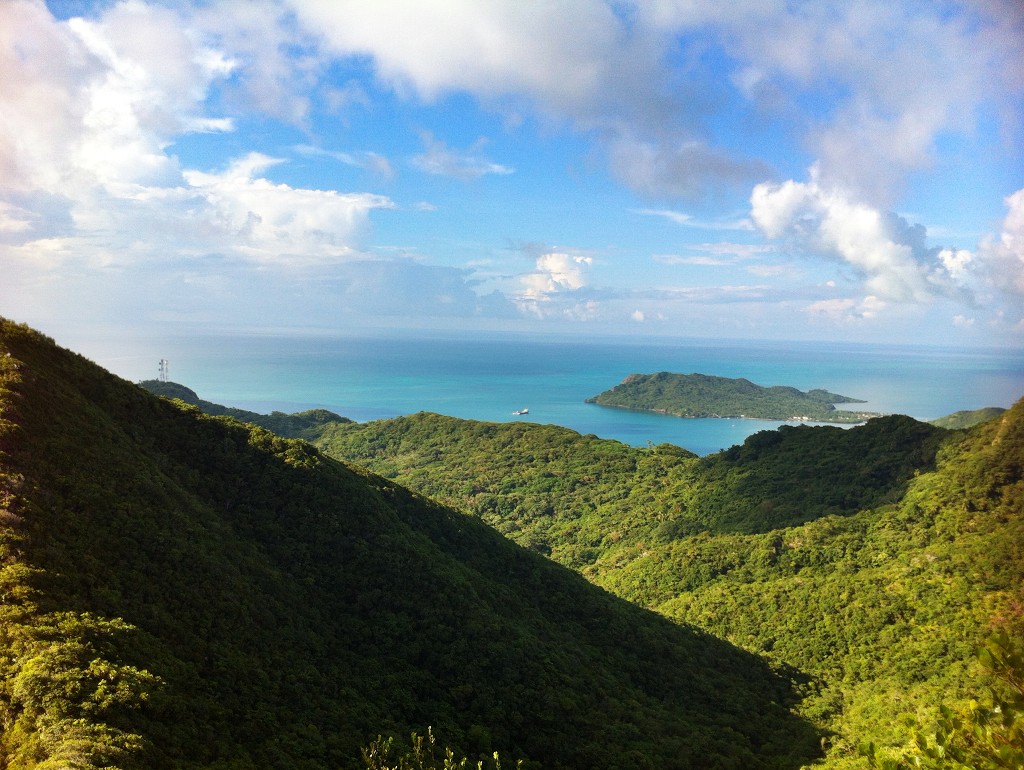
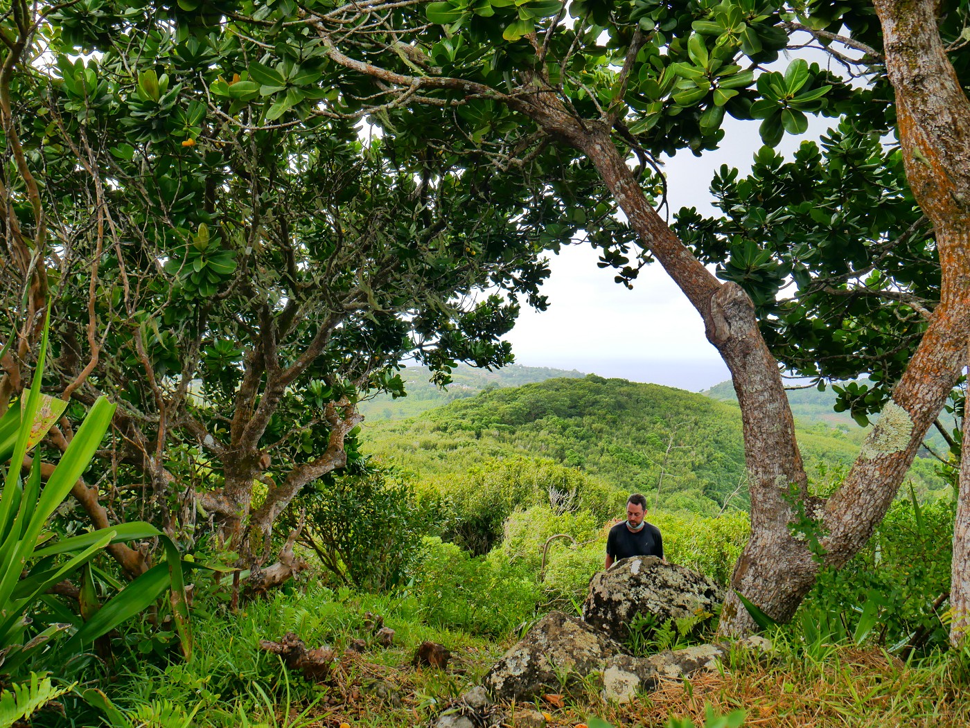
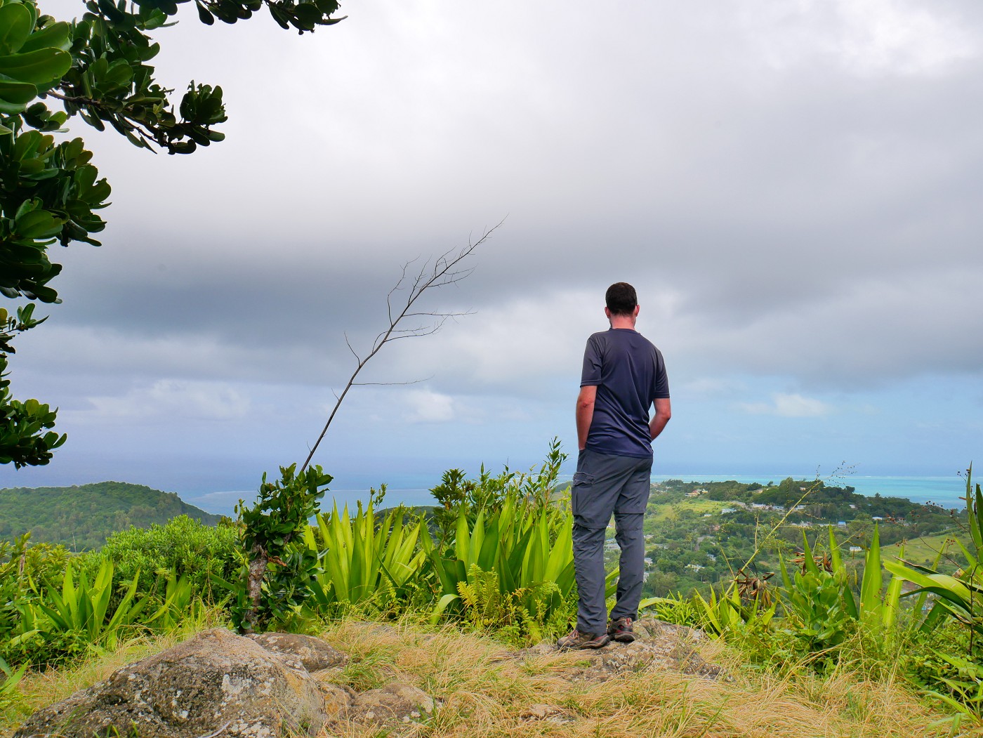
The canopy thinned out as we approached the rocky peak of Mont Limon. There were some concrete structures—trig points, most likely. Atop these, there was an almost 360° view of much of the island on this cloudy but clear day. A good overview of the island and a pleasant panorama.
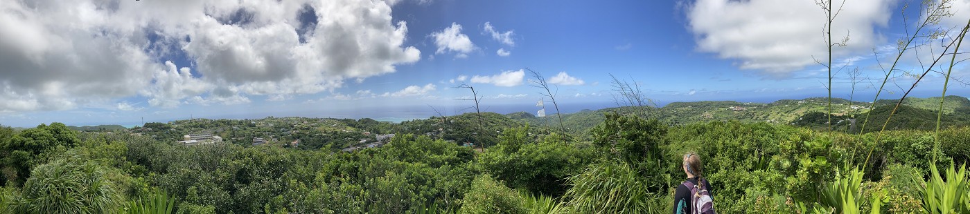
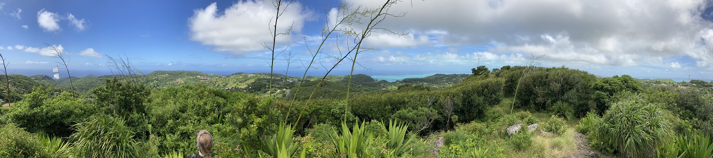
The prettiest direction was to the south where you can see the edge of the lagoon and the different shades of turquoise.

An Alternative Descent?
Another couple arrived at the peak. We said bonjour and had a short chat. They went down the other side of the mountain where it appeared that there was a third trail option, but they came back a few minutes later. We asked if there was a different way down the mountain but they were sure the stairs were the only way up and down Mont Limon. We talked some more. He’s an off-duty police officer. They were quite happily surprised we were planning to stay here for several months.
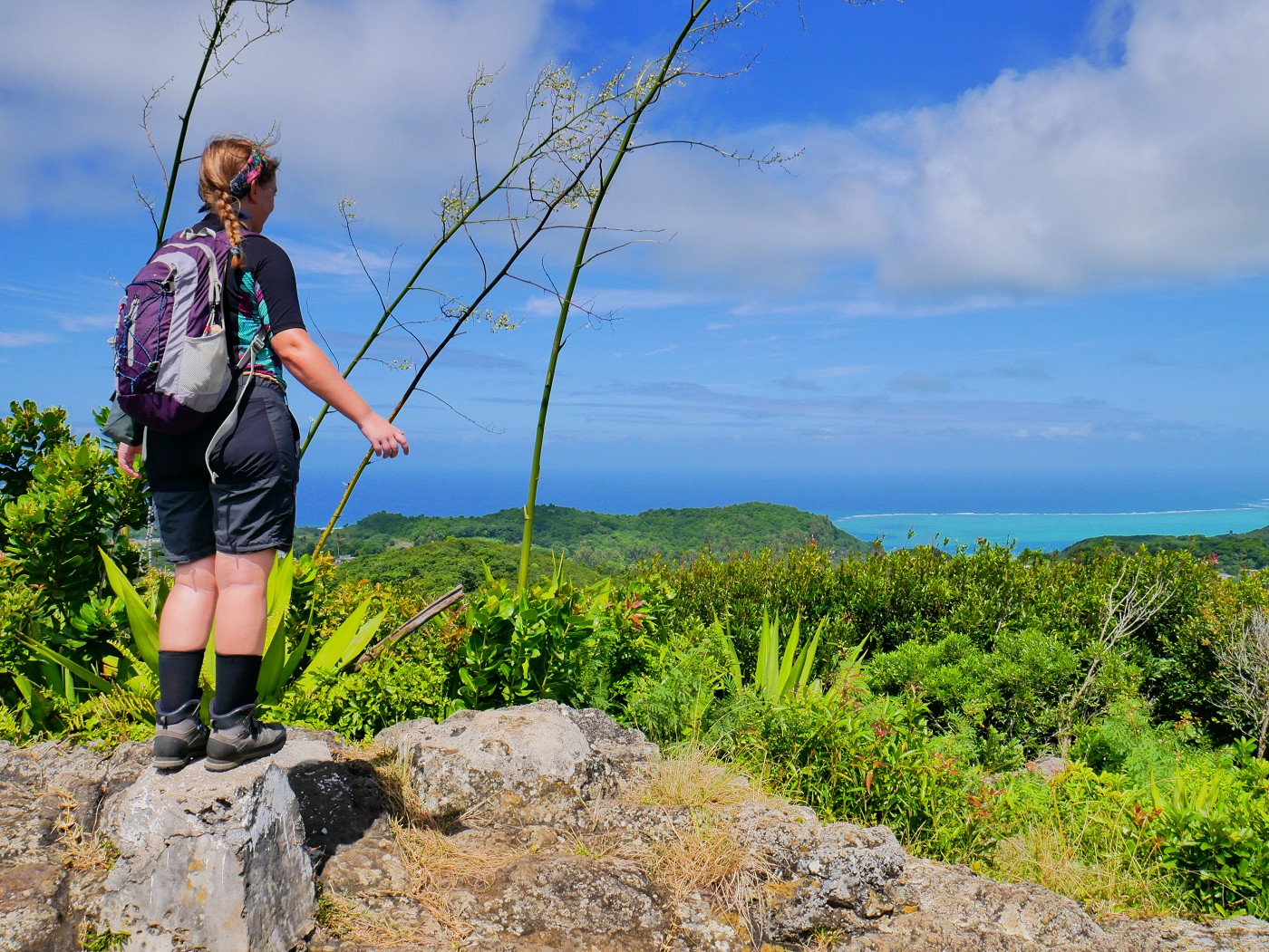
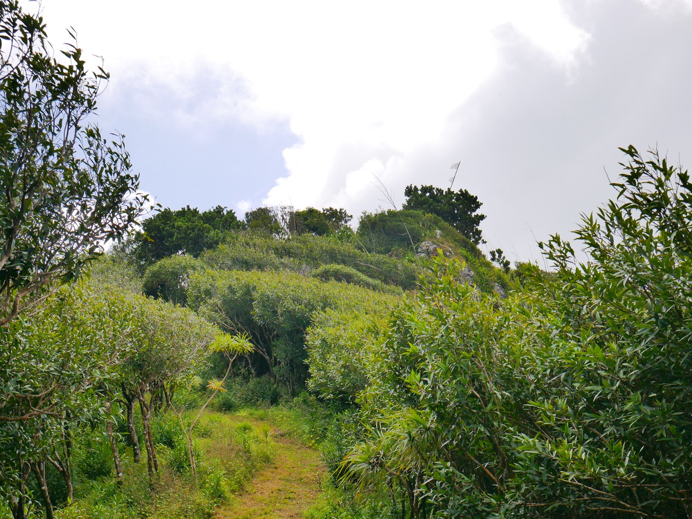
Less than a hundred meters from the peak is a bit of an open trail that leads to another viewpoint of the south. It’s arguably the better viewpoint.
From there, there is another option to descend the mountain and end up back at the main road via a longer route. From the peak, that route descends 49 meters in altitude over 731 meters of trail. But the trail looked very faint and there were some spiny plants en route. Jonas didn’t believe it would go through and wanted to get going to our main plan of the day to visit Graviers on the southeast coast. There was still the option I’d hike it alone and Jonas would pick me up at the end of the trail. We decided to return to the scooter and check out the trail from the bottom side.
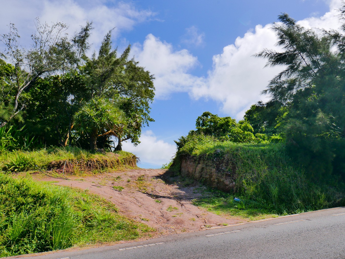
Once we had zoomed around the mountain, we stopped where my map said the access to the southern trailhead is. I hopped off the scooter and checked it out by myself. The trail went partially over farm access and I heard a dog barking in the distance. From down here, there was a clear hole in the forest that would lead up to Mont Limon. Looked totally doable.

Maybe I’ll do that section another time!
The Alternative Ascent to Mont Limon
Tuesday, 7th of June 2022
Almost two months after our first visit to Mont Limon, we were staying in Mourouk on the south coast. I still wanted to check out the alternative ascent to Mont Limon and it’s on the way to Mont Lubin, which is where the nearest big shops are from Mourouk. So we drove our scooter up to the trailhead and began the hike.
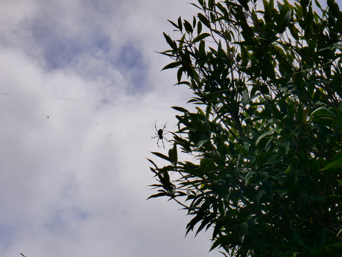
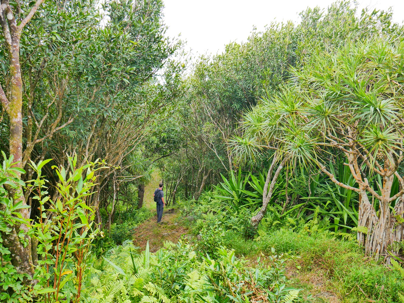
The clear hole in the forest appeared to be even clearer than before like someone had maintained the trail. Though I had said it’s important to wear long pants on this hike because of the spiny plants, that information now seemed outdated. This longer route goes a little more up and down than anticipated and some parts were a bit muddy and slippery. We encountered two other tourists on the trail who had apparently run into some spiderwebs. I guess this wind tunnel-like shape of the trail is perfect for the big spiders of Rodrigues to capture loads of food. A bit after that, we heard some meowing of an adult cat on the left side of the trail. We didn’t check it out. Then we reached third viewpoint we hadn’t been to before.
After that, we reached the arguably better viewpoint. I could now confirm that someone indeed recently walked here with one of those plant whacker machines on a stick. This alternative ascent/descent was now a legit option from here.
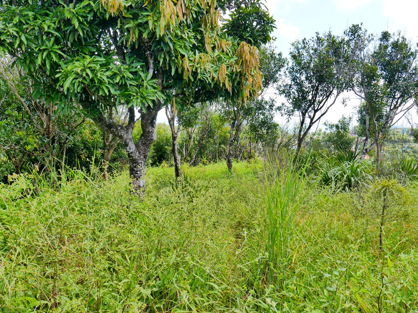 Before trimming (April)
 After trimming (June)
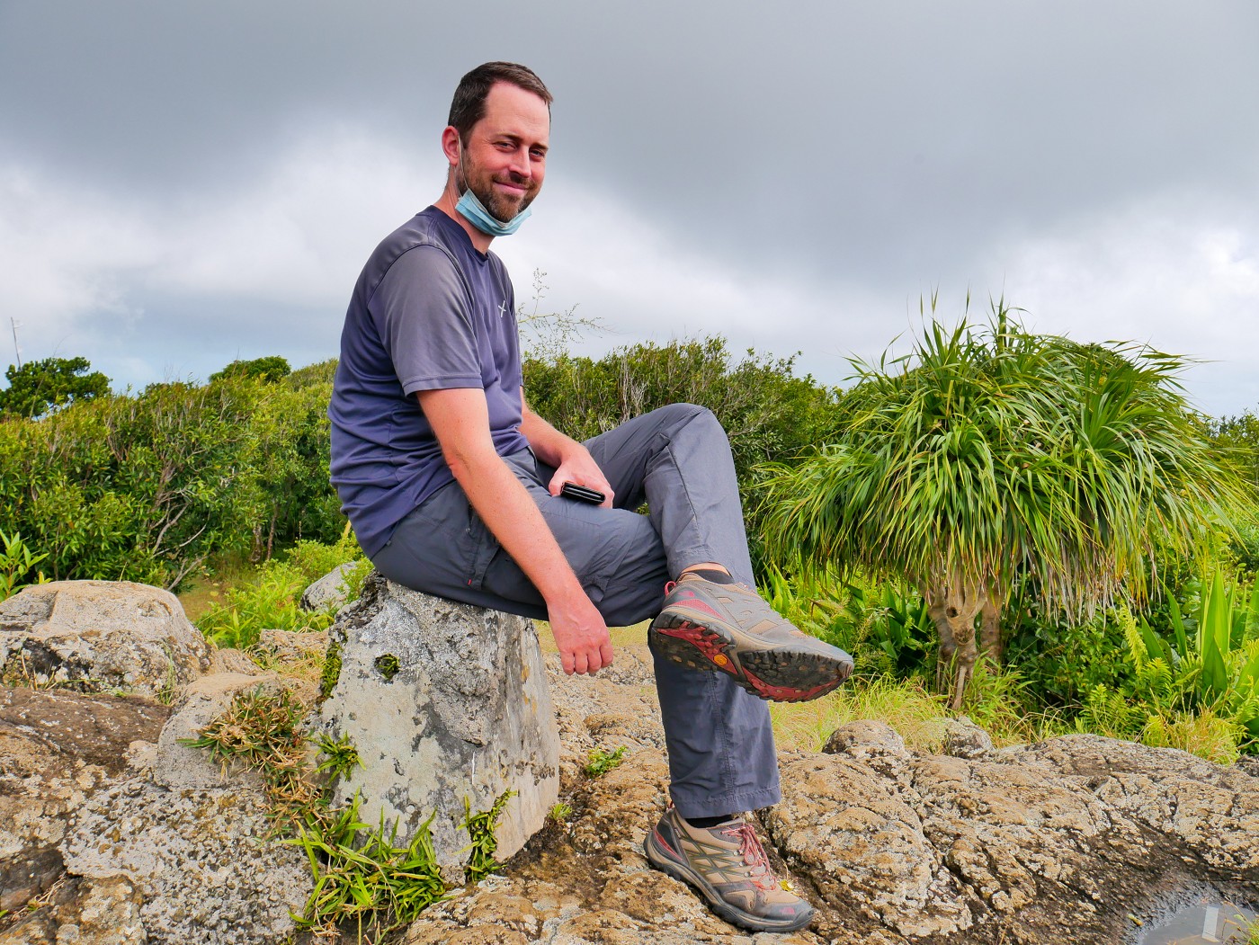
We walked up to the peak of Mont Limon one more time. Since Jonas hadn’t felt so good on the ascent, I asked him if he wanted to walk down to the scooter the way we came or go down the shorter trail and walk via the asphalted road. He wanted to return the way we came, even though some sections are a bit steep and slippery.
Read what we revealed about the mysterious meowing here:
Short Vlog
Good info? Consider buying me a tamarind juice!

Donate via PayPal

Share or save for later? I’m so grateful