Events in this story happened on Wednesday the 14th of August, 2019. We paddled out of Gönyű on the Hungarian side of the Danube to Komárno on the Slovak side.
Want to travel the (entire) Danube River in an adventurous way? Join our Facebook group Danube River Source to Sea: Kayak / Canoe / Bike / Hike / Sail to find your community
Three Nights in Gönyű
Gönyű isn’t exactly the center of the universe. Its biggest claim to fame is that for years it had a right-angled trapezoidal football pitch. Until 2012, when they corrected the shape of the field and wiped out the one thing that might pique anyone’s curiosity.
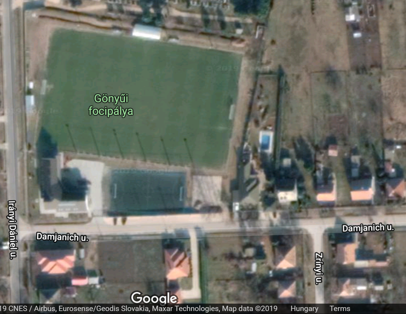
The pitch today.
It’s a relatively small town with one supermarket, two and a half food businesses, and two hotels. Besides our own Business Hotel Leier – which didn’t have dinner – there was only one other business in town that took stuff seriously: pizzeria Fehér Holló (White Raven). We got our first stack of Hungarian currency (Forint) at the ATM.
Our hotel was pretty comfortable. We had good internet, so we did all sorts of important stuff after our night in the Floodplains. I’d been eaten by mosquitoes there and was now in recovery from my injuries. I had a very nasty wound on my ankle that hurt whenever I had to wear shoes or even socks that stuck to it. Not great.
Barefoot and comfy, we decided it was time to book our trip to Asia. The plan is to paddle further than Budapest all the way to Mohács in Hungary, then stay some time in Bratislava before going back to Germany/the Netherlands to get our non-kayak travel gear and fly out to Asia. We found this cool flight to Shanghai where we’ll stay the visa-free six days, and then get back on the plane to Chiang Mai, Thailand. Jonas has already been to China for a year and to Bangkok for a few days, while this is completely new territory for me. We’re both very excited.
The idea is to stay in Asia for 18 months and then come back again to Mohács in spring 2021. Yes, it’s far in the future, no, we haven’t fixed anything. I think it’s silly to fly all the way to Asia to only spend six months there, hence our decision to stay away from the Danube for this long.
Leaving Gönyű for Komárno
In the morning of the 13th, we went to breakfast downstairs in the hotel, ate, packed a sandwich, and set off for Komárno. Since the Danube flows only very shortly through Slovakia and then becomes the border river of Hungary and Slovakia, we wanted to plan a few more stops in Slovakia before entering Hungary completely. We’d booked Komárno during our stay in Bratislava. When we told Slovak hitchhiker Samuel about us having booked Komárno, Moča, and Štúrovo on the Slovak side of the Danube, he told us “Yeah, those towns are 100% Hungarian.”
We still had to learn what exactly those words meant.
Back at the slipway, I decided to shoot a video of us rigging our boat from unpacking it to fully-inflated and ready to paddle. The slipway was terribly slippery though, so we didn’t exactly do our best work. Besides, we’re both a bit camera shy.
Anyway, it’s the featured video up top.
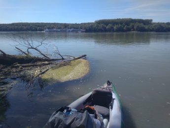
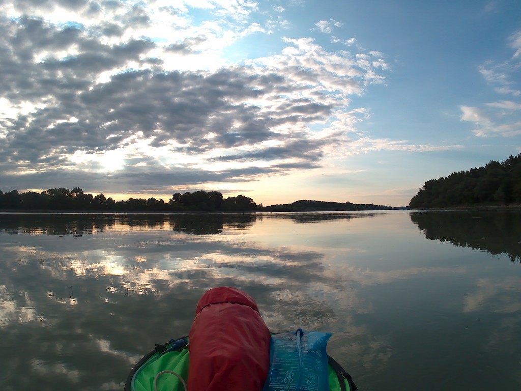
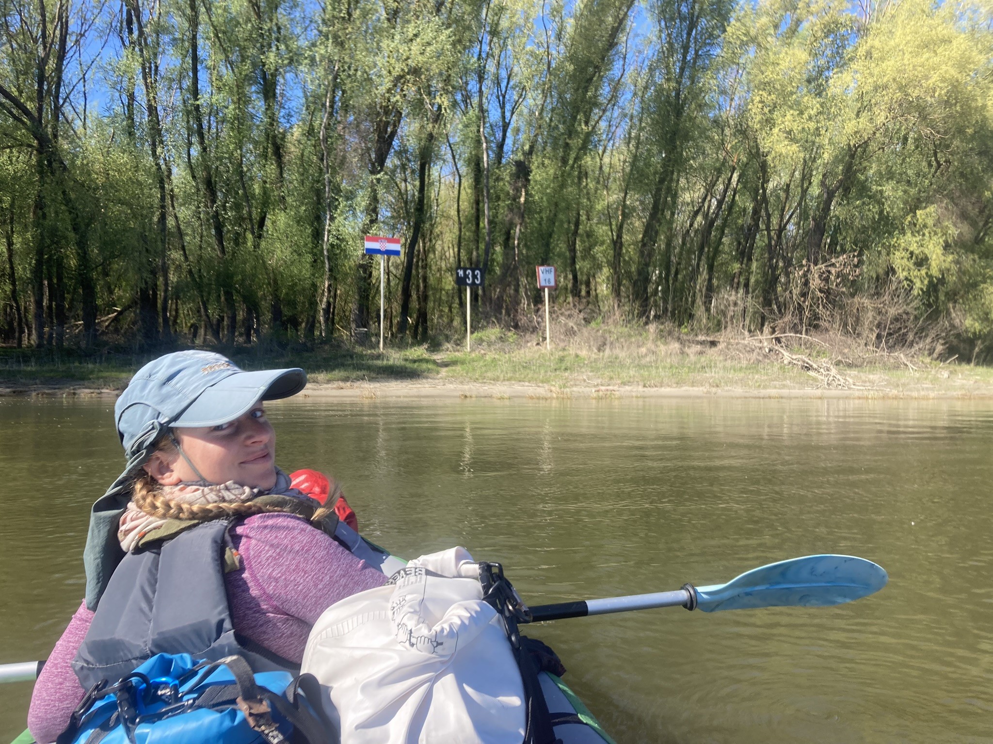
We paddle away from Gönyű at 9:15. It’s quite windy and not so warm, but it’s coming mostly from the left (north) and not behind us.

The Mini-TID
The current is pretty alright. The wind pushes us closely to the Hungarian shores, which isn’t really a problem. Whenever the left side of my paddle is in the air, I feel the wind pushing against it at times. So I deploy the kayak sail, but it only catches wind when I turn it sideways in a sketchy manner. I fold it away again. Perhaps if we turn a little bit, we get to really use the kayak sail today.
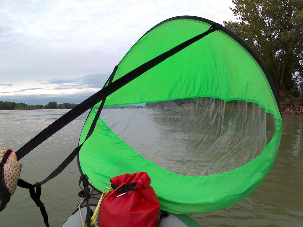
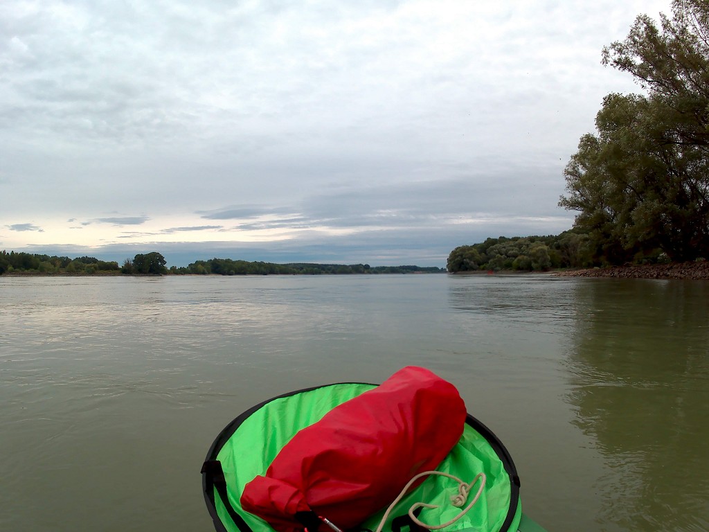
When gazing into the distance, it’s hard to identify the shapes and movements that we see. The edge of the water level looks like it’s splashing, like the edge of a weir. But these are just mirages; by the time we arrive at the zone of the disturbed water, it’s calm as usual.
We stick much to the shipping lane as the sills can pop up unpredictably. There are a few river islands on our right. The shipping lane can be very skinny at times. I remember that this is the part of the Danube that’s incredibly hard to navigate for big ships as it’s not very deep here. There are cliffs with trees on the edge on the right side. That’s probably where the river ate away the sandy and fragile embankment during a flood.
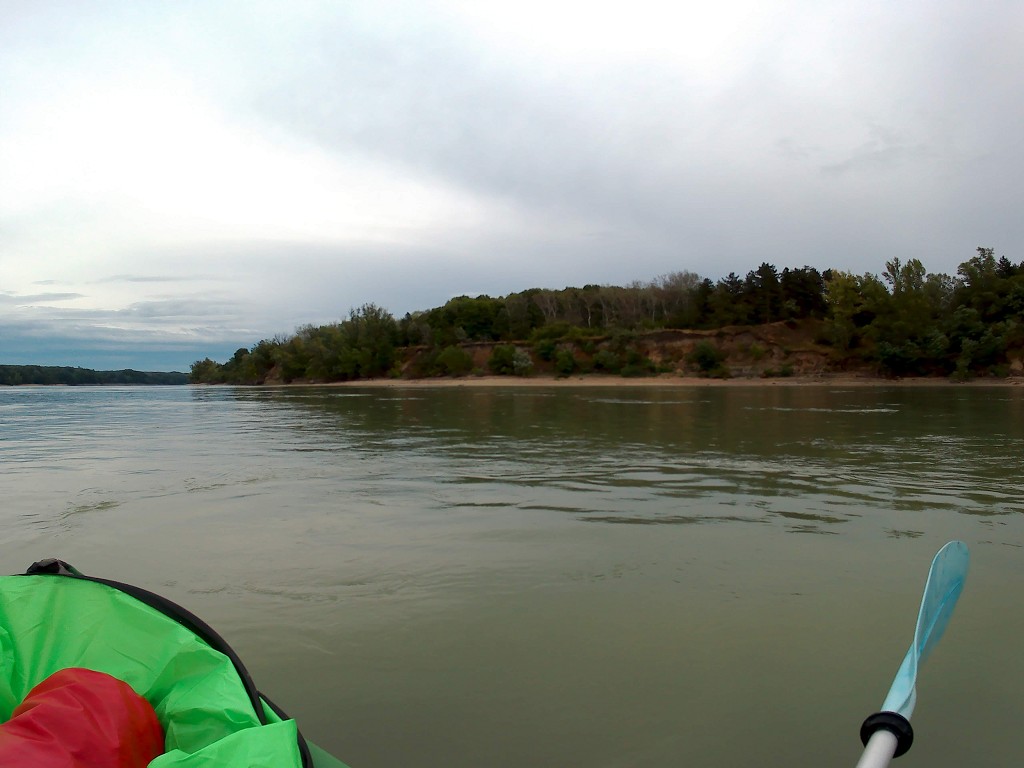
At around 10:00, we pass a skinny and long river island with many kayaks, canoes, and tents on its shores. The people are either waking up or wandering around the island. They look like a proper kayak club. Jonas calls it “the mini-TID”, referring to the Tour International Danubien that overtook us on the river back in Engelhartszell. But this is just a small group of fewer than 20 people instead of a hundred-something. We wave at the one person that noticed us.

Sailing Zucchini
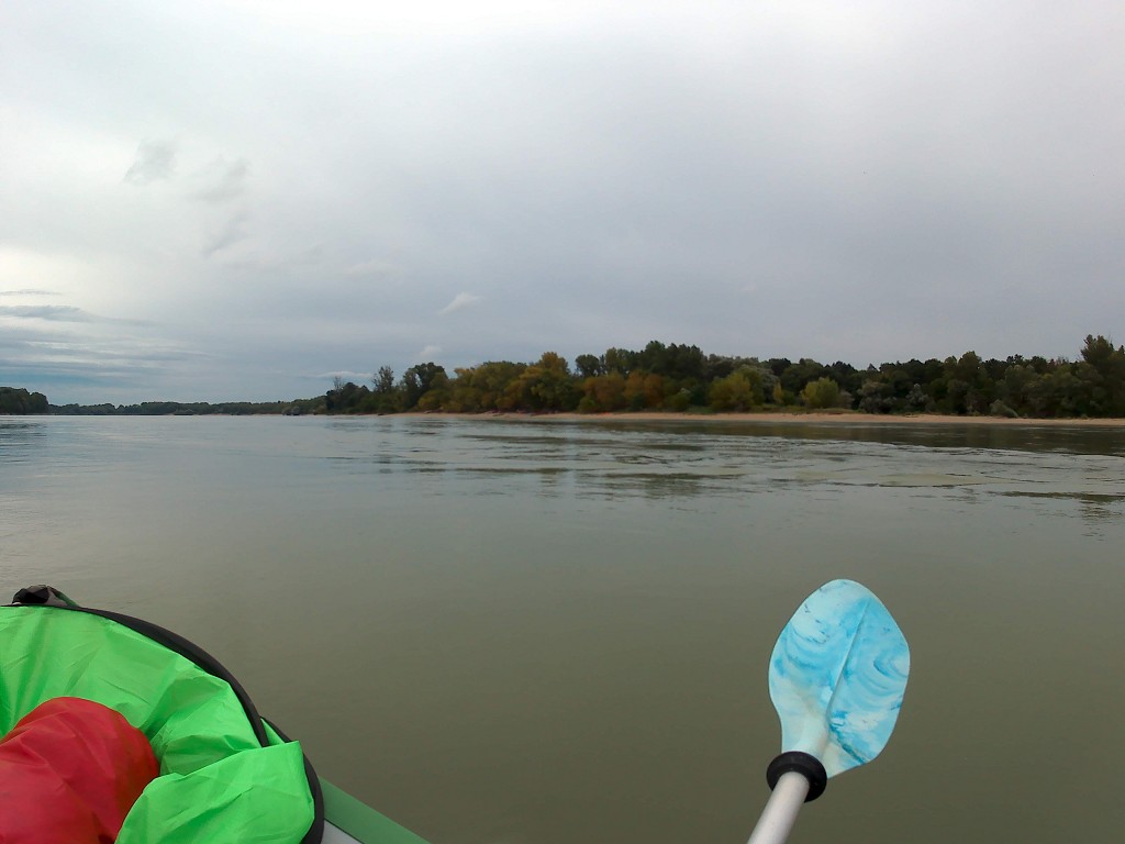
Not much later, the wind direction seems to change a bit. Jonas and I are both feeling it in our backs now, albeit still stronger on our left. The waters are choppy. I decide to hoist the kayak sail to see if we can leverage this power. And we can… sort of.

I’m trying to hold the sail under an angle like on a sailing boat. Jonas uses his paddle as a rudder to compensate for the direction the wind pushes us to. Then he paddles again because it’s easier for him to correct it like that.
We’re going into a left turn for a bit, so I have to put the sail away and paddle with Jonas. But after that turn, we’re rewarded with a sharp right turn that makes our direction perfect for the continued usage of our sail. The stretch is about 4 kilometers long and we’re finally getting the kinds of winds I’ve been dreaming of since putting the kayak sail in my Amazon basket. Managing the sail is a full-time job now and I can’t really do other stuff like paddling along. Our Zucchini sails!
Sweater Weather
We turn left again and decide to take a 15-minute break on the Hungarian shore at 11:05. Standing still, I realize how cold I actually am. I grab my sweater from my dry bag and put it on. It’s about 23°C outside and I’m not used to this anymore. And managing the kayak sail instead of paddling also doesn’t warm me up. By the time we get back in the boat, even my hands are too cold for fingerless gloves. I ask Jonas for his (barely used) winter gloves. This helps a lot. We get back into our mean machine of a sailing kayak.

While we’re sailing hard, a small maintenance boat goes out of the shipping lane and approaches a buoy on the left-hand shore. We’ve never seen buoy-maintenance before nor have we seen many motorized boats take the risk of going outside of the shipping lane. Perhaps the buoy needs a new paint job.

A New Bridge
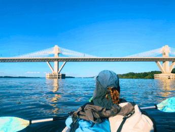
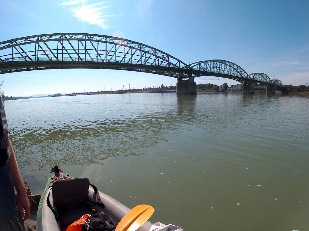
The Danube turns a bit right again and we get the wind in our backs again. I put the kayak sail up and we’re headed straight for the train bridge of Komárno (Slovakia) and Komárom (Hungary). My tiny action cam’s battery dies after one more shot, so I continue with my phone. We see a construction site at the river and my map confirms that they’re building a new car bridge 200 meters before the train bridge.

I can’t find a route number on my map or a name for the new bridge, so only much later I find out that Hungary refers to the bridge as Új Duna Híd (New Danube Bridge). A special fund of the European Union to increase connectivity between member states will pay for it. They plan on finishing it in 2020.
We’re calmly paddling on to the one-and-a-half bridges We can see the outline of what it will be: one tall diagonal pillar will probably hold the road with cables. It looks like it will be asymmetrical, kind of like the Most SNP in Bratislava (the UFO). The advantage of putting the tower off-center in the river bed is probably that the shipping lane underneath it will be extra wide, which is necessary because it’s right next to the train bridge which has a few too many pillars.

As we’re approaching, we see many barges with materials anchored nearby and two pontoons that narrow the shipping lane to a minimum. I put the kayak sail away so we can approach it with as much control over Zucchini as possible. Of course, a cruise ship appears and passes us while we’re also passing the construction site. There’s human activity on the right-hand construction site. A man with a hard hat, reflective jacket, and jeans enthusiastically greets us while we’re passing his place of work. We wave back.


The Final Stretch to Komárno/Komárom
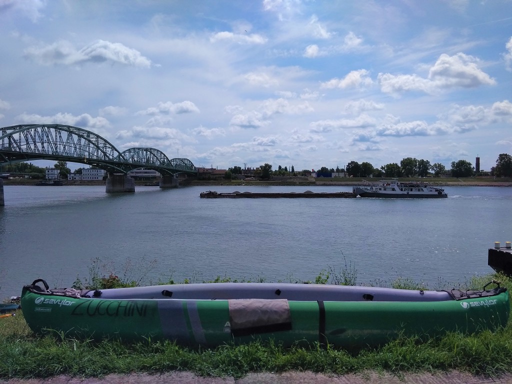
After the bridge, I make the case for crossing to the left side of the river. The Hungarian shore has a docking spot for cruise ships in front of the historic Fort Monostor. Some people snap photos atop the casemate. We spot a yellow buoy in the river and I’m asking Jonas if we can approach it to cross. Our preliminary landing spot is at a tiny marina in Komárno after the Elizabeth Bridge (Alžbetínsky most/Erzsébet híd), behind Elizabeth Island (Alžbetínsky ostrov/Erzsébet-sziget), still about two kilometers from our location. Jonas found this spot on Flusswandern.at, but had his doubts about it.

A distance of two kilometers usually gives us plenty of time to cross, but with the current and mostly unremitting tailwind that distance isn’t much to cross. We go around the yellow buoy around the right side instead of the intended left. The yellow has a big sign with an arrow for the big ships to keep left for the train bridge and the bridge under construction.

We keep paddling slowly toward the left. We’re approaching the arches of the Elizabeth bridge when Jonas spots some bendy metal stairs out of the water next to a docking spot for cruise ships. Some pedestrians on the bridge stop to look at what we’re doing. Jonas suggests getting out of the Danube here instead of later, but we’re already almost under the bridge. Jonas reiterates his doubts about the other spot, so we turn the boat around and paddle against the wind and the current for 50 meters. We land at the stairs and Jonas gets out first to see if we can comfortably dry our boat there. It’s 12:35 and still very cloudy.
He returns with a positive answer, so I also get out and we carry everything up the embankment. But there’s a cable from the floating dock across our path, which makes it hard to get up the stairs. I’m afraid of tripping over it. I sincerely hope we’ll find a better spot to reenter the river after three nights in Komárno.
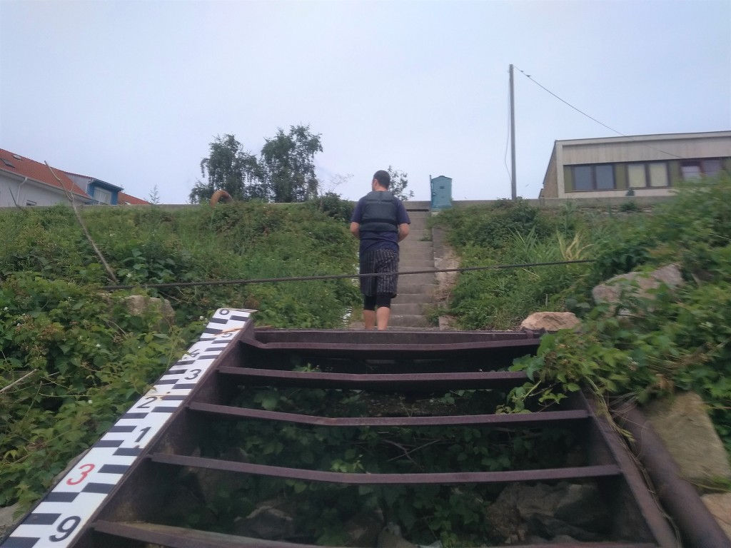
Upon the embankment, there’s a bench where we can sit while Zucchini dries. We get comfortable and hope the sun comes out so our boat can dry. While the colder weather has been very comfortable to paddle in – especially for me – I’d completely forgotten about its downsides, like how stuff just doesn’t dry. I realize we’re approaching the end of our trip soon, whether we paddle past Budapest to Mohács or end it in the Hungarian capital.
Checking in to Komárno
Once we packed everything up, we walk the 800 meters to our accommodation Penzión Lehár in Komárno. At the main road that leads onto the Elizabeth Bridge, we see the old marks of infrastructure from when there was still a hard border here. A sign welcomes us to Slovakia.
There’s another bridge that connects Elizabeth Island (which is a peninsula today due to human intervention), which can lift higher so that big ships can enter the protected harbor of Komárno. Komárno is actually the biggest Slovak river port on the Danube – not Bratislava. I look into the harbor, which can apparently be closed off completely from the main Danube in times of floods. It’s next to a big railroad area with many tracks.
We check into our pension and get a very spacious room which is unfortunately also on the top floor. When we go out to eat, we realize how Hungarian Komárno really is. Everything is bilingual. When buying some groceries, the checkout lady addresses us in Hungarian, then switches to Slovak when we don’t react to Hungarian. While confusing, I think I’m going to like this town.
Thanks for Reading! Feel Free to Share This Article










This is really inspiring.
I will be honest: I’ve never been on a trip like this but I’m starting to feel that I will do it next year. Do you have some tips for beginners?
Hi, thank you! 🙂 For now, you can find tips on the post about Day Zero, which is about the preparations we took for the kayak trip.